 Block
Morningside, Indiana
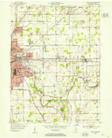
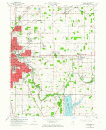
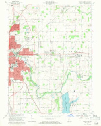
15 topographic sheets cover this place, the earliest surveyed in 1952 and the latest in 1986. It stands in Center Township. It lies in ZIP code area 47303. It stands on Hamilton Ditch. The Survey maps it on the Muncie East quadrangle.
Topographic sheets covering this place
6 surveys from 15 printed sheetsMatched by testing this settlement's coordinate against the published boundary of every sheet in the United States Geological Survey's historical collection. Each opens the scanned sheet at the Survey.
- 1952 USGS Muncie East quadrangle1:24000, 2 printings
- 1953 USGS Muncie quadrangle1:250000, 5 printings
- 1956 USGS Muncie quadrangle1:250000
- 1962 USGS Muncie East quadrangle1:24000
- 1969 USGS Muncie East quadrangle1:24000, 3 printings
- 1986 USGS Muncie quadrangle1:100000, 3 printings



Mines and quarries near this place
9 within 5 milesRegional context, not property-specific evidence. The federal mineral resources record lists 9 workings within 5 miles of Morningside: 5 producers, 2 past producers, 2 unknowns. 5 still produce. What was taken out: Sand and Gravel, Construction, Stone, Crushed/Broken, Stone. Distance is straight-line from the map coordinates, so a quarry counted here may appear on a neighbouring settlement's page as well.
| Where | Site | Commodity | Status | Recorded |
|---|---|---|---|---|
| Delaware County Highway Dept. | Stone | Producer | ||
| Muncie Quarry | Stone, Crushed/Broken | Past Producer | ||
| Irving Bros. Stone & Gravel Pit | Sand and Gravel, Construction | Producer | ||
| J and K Gravel Pit | Sand and Gravel, Construction | Past Producer | ||
| Muncie Pit and Mill | Sand and Gravel, Construction | Producer | ||
| Royertown Pit | Sand and Gravel, Construction | Unknown | ||
| Shick Sand & Gravel Pit | Sand and Gravel, Construction | Producer | ||
| Shirey Road Gravel Pit | Sand and Gravel, Construction | Producer | ||
| Tuck Pit | Sand and Gravel, Construction | Unknown |
Storms near this place
15 since 2011Regional context, not property-specific evidence. The National Weather Service names Morningside in 15 storm reports between 2011 and 2022: 7 thunderstorm wind, 6 hail, 1 flood, 1 flash flood. The reports record 1 injury. Each account below is quoted exactly as the forecast office filed it, from the NOAA Storm Events Database, and each date opens the federal record of that event.
| When | Event | Place named | Harm | What the report says |
|---|---|---|---|---|
| September 2011 | Thunderstorm Wind | Morningside | 1 hurt, $28,000 | A large tree damaged 9 cars and injured 1 person in McCulloch Park between East Highland Avenue and McCulloch Boulevard. The injury was believed to be minor. The large tree was downed due to damaging thunderstorm wind gusts. |
| July 2022 | Thunderstorm Wind | Morningside | $80,000 | Widespread minor tree damage across the town of Muncie due to thunderstorm wind gusts. One large tree limb was snapped and broke into a house with another large tree uprooted into a house. |
| July 2019 | Thunderstorm Wind | Morningside | $40,000 | An estimated 60 mph thunderstorm wind gust was observed in Muncie. Multiple trees and branches were reported down across the city, with at least one onto a home. Roof damage to a home was also reported. A few power poles and lines were downed as well. |
| July 2019 | Flash Flood | Morningside | $30,000 | A car was stuck in high water in front of the Dollar General in this location due to heavy thunderstorm rainfall. There was a water rescue just east of where the entire roadway is flooded. There was another water rescue from a car near the area. |
| July 2017 | Thunderstorm Wind | Morningside | $15,000 | Trees and power lines were downed in several locations due to damaging thunderstorm wind gusts. |
| July 2019 | Thunderstorm Wind | Morningside | $10,000 | Minor roof damage was observed at the Bestway Inn in Muncie due to damaging thunderstorm wind gusts. |
| July 2018 | Flood | Morningside | $2,000 | Flooding occurred at the Deleware County Fairgrounds due to heavy rainfall. Four to six inches of water in paved areas and eight to ten inches in grassy areas. |
| January 2018 | Thunderstorm Wind | Morningside | $1,000 | A tree was downed in this location due to strong thunderstorm wind gusts. |
| June 2011 | Thunderstorm Wind | Morningside | $500 | Damaging thunderstorm wind gusts estimated at 60 mph occurred in Morningside. Some branches, approximately 2.5 inches in diameter, were broken. |
| June 2021 | Hail | Morningside | - | Near the intersection of State Road 35 and State Road 67. |
| April 2013 | Hail | Morningside | - | no account filed |
| May 2012 | Hail | Morningside | - | no account filed |
| May 2012 | Hail | Morningside | - | no account filed |
| May 2012 | Hail | Morningside | - | no account filed |
| June 2011 | Hail | Morningside | - | no account filed |
Nearest settlements
The eight closest, with where each one stands in the county. Distances are straight-line, computed from the Geographic Names Information System coordinates.
Provenance
This settlement is recorded in the Geographic Names Information System as feature 439441. The sheet list is computed by point-in-boundary test against the United States Geological Survey's historical topographic inventory. Both are works of the United States government and carry no copyright under 17 U.S.C. 105.
Mines and quarries. USGS Mineral Resources Data System (MRDS) https://mrdata.usgs.gov/mrds/ A work of the United States government, no copyright under 17 U.S.C. 105.
Storms. NOAA National Centers for Environmental Information, Storm Events Database https://www.ncei.noaa.gov/stormevents/ A work of the United States government, no copyright under 17 U.S.C. 105. Narratives are quoted verbatim from the National Weather Service report and are not edited or summarised.