 Block
Maywood, Indiana
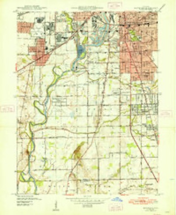
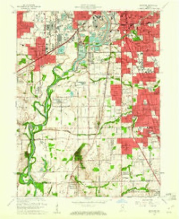
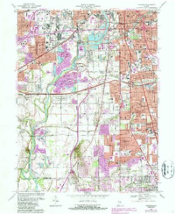
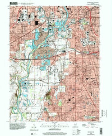
17 topographic sheets cover this place, the earliest surveyed in 1948 and the latest in 1998. It stands in Wayne Township. It lies in ZIP code area 46241. It stands on Eagle Creek. The Survey maps it on the Maywood quadrangle.
Topographic sheets covering this place
9 surveys from 17 printed sheetsMatched by testing this settlement's coordinate against the published boundary of every sheet in the United States Geological Survey's historical collection. Each opens the scanned sheet at the Survey.
- 1948 USGS Maywood quadrangle1:24000, 2 printings
- 1953 USGS Indianapolis quadrangle1:250000, 4 printings
- 1956 USGS Indianapolis quadrangle1:250000
- 1957 USGS Indianapolis quadrangle1:250000, 2 printings
- 1959 USGS Maywood quadrangle1:24000
- 1962 USGS Indianapolis quadrangle1:250000
- 1967 USGS Maywood quadrangle1:24000, 3 printings
- 1986 USGS Indianapolis quadrangle1:100000, 2 printings
- 1998 USGS Maywood quadrangle1:24000





In the county-history sources
12,230 words on this townshipHistory of Indianapolis and Marion County, Indiana, published 1884 names this settlement in its chapter on Wayne Township. These are the passages that mention it, exactly as the scans read.
Three small towns or villages lie within the territory of Wayne township. Of these, Bridgeport is located in the southwest part of the township, on the old National road, and also on the line of the Vandalia Railroad. The village of Clermont is in the northwest corner of the township, on the line of the Indiana, Bloomington and Western Railway ; and on the south line of the township, near its southeast corner, is the village of Maywood, located on the line of the Vincennes Railroad. The population of the township by the United States census of 1880 was four thousand seven hundred and seventy-two.
Passage source: History of Indianapolis and Marion County, Indiana, published 1884.
Andrew Hoover, who came to Marion County in 1822, was a native of Randolph County, N. C., born March 12, 1788. At the age of twelve years he went with the family to Montgonery County, Ohio, where he was married (in 1808) to Sarah Sinks, who was also a native of North Carolina. In 1821 he attended the government land sale at Brookville, and purchased a quarter-section of land in that part of Marion County which afterwards became Perry township, and removed to it November, 1822, but after a short stay in Perry removed to Wayne. The lands on which he was assessed in Wayne in 1829 were described as the northeast quarter of section 20, and the east half of the northwest quarter of section 17, in survey-township 15, range 3. The location of Mr. Hoover's farm was not far from the village of Maywood. He was a man of excellent character and standing among the people of the township, and held several responsible public oflSces. He died on the 25th of November, 1863. He was the father of ten children, viz. : Abijah (dead), George (dead), Daniel D. (dead), Hannah, Mary Ann, Jacob B. (dead), Alexander W., Sarah J., Gary S., and Perry C, the last two being twins.
Passage source: History of Indianapolis and Marion County, Indiana, published 1884.
The village of Maywood is situated on the south line of the township near its southeastern corner, and on the line of the Indianapolis and Vincennes Railroad. On a part of the site now occupied by the village a twostory brick house was built in 1822 (some accounts say 1821), by John P. Cook, who was the first resident in that locality. There was no village at the place, nor was it in any way diflferent from other farming neighborhoods for forty years after Cook's settlement there. In 1854, James A. Marrs and Ira N. Holmes built a steam grist-mill in Decatur township, on the southwest quarter of section 36, township 15, range 2. Holmes sold out to Marrs, who ran it until his death, in October, 1857, and it was afterwards run by his administrator till 1863, when it ceased operation, and was sold to Fielding Beeler and Calvin Fletcher, who moved the machinery to a new mill building which they erected on land owned by Fletcher at what is now Maywood. They added a saw-mill and some new machinery, and ran it until the spring of 1873, when it was sold to other parties ; but it was not a financial success, and was finally abandoned, the machinery sold, and the building dismantled.
Passage source: History of Indianapolis and Marion County, Indiana, published 1884.
Machine-read from a century-old scan, so expect the errors a machine makes: misspelled names, dropped words, stray characters.
Read the whole chapter on Wayne Township - it names this place 5 more 5 times.
Mines and quarries near this place
10 of 14 shownRegional context, not property-specific evidence. The federal mineral resources record lists 14 workings within 5 miles of Maywood: 5 producers, 5 past producers, 2 occurrences, 1 plant. 6 still produce. What was taken out: Sand and Gravel, Construction, Fluorine-Fluorite, Stone, Crushed/Broken, Tungsten. Distance is straight-line from the map coordinates, so a quarry counted here may appear on a neighbouring settlement's page as well.
| Where | Site | Commodity | Status | Recorded |
|---|---|---|---|---|
| Mallory Metallurgical/ Indianapolis | Tungsten | Past Producer | ||
| Fluorite Occurrence Number 1 | Fluorine-Fluorite | Occurrence | ||
| Fluorite Occurrence Number 1 | Fluorine-Fluorite | Occurrence | ||
| Indianapolis 522 Quarry | Stone, Crushed/Broken | Producer | ||
| Kentucky Ave Mine & Mill | Stone, Crushed/Broken | Producer | ||
| Ace Lake Pit | Sand and Gravel, Construction | Past Producer | ||
| Eagle Gravel Pit | Sand and Gravel, Construction | Unknown | ||
| Indianapolis Haveisen 510 Mill | Sand and Gravel, Construction | Plant | ||
| Indianapolis Haveisen 510 Pit | Sand and Gravel, Construction | Producer | ||
| Kentucky Avenue Sand | Sand and Gravel, Construction | Producer |
Storms near this place
5 since 2015Regional context, not property-specific evidence. The National Weather Service names Maywood in 5 storm reports between 2015 and 2025: 3 thunderstorm wind, 2 flash flood. No death or injury is recorded in these reports. Each account below is quoted exactly as the forecast office filed it, from the NOAA Storm Events Database, and each date opens the federal record of that event.
| When | Event | Place named | Harm | What the report says |
|---|---|---|---|---|
| July 2015 | Flash Flood | Maywood | $20,000 | Two cars were stranded in high water at the intersection of Kentucky and Belmont Avenues due to heavy thunderstorm rainfall. Police had to block traffic. |
| May 2020 | Thunderstorm Wind | Maywood | $2,000 | Large tree uprooted due to thunderstorm wind gusts. |
| August 2016 | Flash Flood | Maywood | $500 | High water was reported by an off-duty NWS employee on Kentucky Avenue near Raymond Street due to heavy thunderstorm rainfall. |
| March 2025 | Thunderstorm Wind | Maywood | - | A 60 mph thunderstorm wind gust was estimated at this location. |
| April 2020 | Thunderstorm Wind | Maywood | - | no account filed |
Nearest settlements
The eight closest, with where each one stands in the county. Distances are straight-line, computed from the Geographic Names Information System coordinates.
| Map | Place | Distance | Sheets |
|---|---|---|---|
| Mars Hill | 0.8 miles | 17 | |
| Drexel Gardens | 1.9 miles | 17 | |
| Fairview Station | 2.0 miles | 19 | |
| Belmont | 2.1 miles | 19 | |
| Sunshine Gardens | 2.6 miles | 17 | |
| Mount Jackson | 2.7 miles | 19 | |
| Mickleyville | 2.8 miles | 17 | |
| Lynhurst | 2.8 miles | 19 |
Provenance
This settlement is recorded in the Geographic Names Information System as feature 438770. The sheet list is computed by point-in-boundary test against the United States Geological Survey's historical topographic inventory. Both are works of the United States government and carry no copyright under 17 U.S.C. 105.
Mines and quarries. USGS Mineral Resources Data System (MRDS) https://mrdata.usgs.gov/mrds/ A work of the United States government, no copyright under 17 U.S.C. 105.
Storms. NOAA National Centers for Environmental Information, Storm Events Database https://www.ncei.noaa.gov/stormevents/ A work of the United States government, no copyright under 17 U.S.C. 105. Narratives are quoted verbatim from the National Weather Service report and are not edited or summarised.