 Block
Sunshine Gardens, Indiana
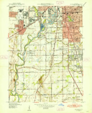
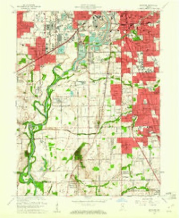
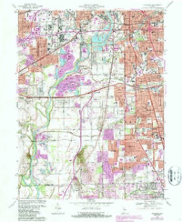
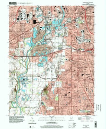
17 topographic sheets cover this place, the earliest surveyed in 1948 and the latest in 1998. It stands in Perry Township. It lies in ZIP code area 46217. It stands on Thompson Run. The Survey maps it on the Maywood quadrangle.
Topographic sheets covering this place
9 surveys from 17 printed sheetsMatched by testing this settlement's coordinate against the published boundary of every sheet in the United States Geological Survey's historical collection. Each opens the scanned sheet at the Survey.
- 1948 USGS Maywood quadrangle1:24000, 2 printings
- 1953 USGS Indianapolis quadrangle1:250000, 4 printings
- 1956 USGS Indianapolis quadrangle1:250000
- 1957 USGS Indianapolis quadrangle1:250000, 2 printings
- 1959 USGS Maywood quadrangle1:24000
- 1962 USGS Indianapolis quadrangle1:250000
- 1967 USGS Maywood quadrangle1:24000, 3 printings
- 1986 USGS Indianapolis quadrangle1:100000, 2 printings
- 1998 USGS Maywood quadrangle1:24000





In the county-history sources
9,757 words on this townshipHistory of Indianapolis and Marion County, Indiana, published 1884 has no passage naming this settlement, which was common for smaller places. Its township is covered in full.
The chapter on Perry Township covers the township.
Read the chapter on Perry Township - 9,757 words.
Mines and quarries near this place
6 within 5 milesRegional context, not property-specific evidence. The federal mineral resources record lists 6 workings within 5 miles of Sunshine Gardens: 3 producers, 2 past producers, 1 plant. 4 still produce. What was taken out: Sand and Gravel, Construction, Stone, Crushed/Broken. Distance is straight-line from the map coordinates, so a quarry counted here may appear on a neighbouring settlement's page as well.
| Where | Site | Commodity | Status | Recorded |
|---|---|---|---|---|
| Indianapolis 522 Quarry | Stone, Crushed/Broken | Producer | ||
| Indianapolis Haveisen 510 Mill | Sand and Gravel, Construction | Plant | ||
| Indianapolis Haveisen 510 Pit | Sand and Gravel, Construction | Producer | ||
| Kentucky Avenue Sand | Sand and Gravel, Construction | Producer | ||
| R.L. Schutt Borrow Pit | Sand and Gravel, Construction | Past Producer | ||
| Standard Materials Corp S&G Pit | Sand and Gravel, Construction | Past Producer |
Storms near this place
8 since 2004Regional context, not property-specific evidence. The National Weather Service names Sunshine Gardens in 8 storm reports between 2004 and 2026: 4 hail, 3 thunderstorm wind, 1 tornado. The reports record 26 injuries. Each account below is quoted exactly as the forecast office filed it, from the NOAA Storm Events Database, and each date opens the federal record of that event.
| When | Event | Place named | Harm | What the report says |
|---|---|---|---|---|
| May 2004 | Tornado (F2) | Sunshine Gardens | 26 hurt, $19,000,000 | A tornado cut a near continuous 18 mile path across southern and eastern Marion County before briefly moving into Hancock County. The tornado dropped down near exit 4 at Harding Street and Interstate 465 on the south side of metro Indianapolis and moved into Hancock County to near Mount Comfort. The worst damage was found near South Keystone Avenue between Raymond St. And Troy. The damage was rated F2 there. There was significant damage to numerous homes, a nursing home and an elementary school. 26 nursing home inhabitants were treated at local hospitals for mainly minor cuts and scrapes, and the rest were relocated as the building was inhabitable. The tornado continued across 465 at Post Road and then lifted. Additional brief touchdowns (F0) occurred near 21st Street, 25th and Mittehoffer and German Church Road and 30th Street. The last touchdown occurred at 38th street and County Line Road where it crossed into Hancock County before lifting. A total of 600 homes, 24 apartment buildings and 90 commercial buildings received damage across Decatur, Perry, Center and Warren townships of Marion County. |
| April 2020 | Thunderstorm Wind | Sunshine Gardens | $10,000 | A roof was blown off at this location due to thunderstorm wind gusts. Nearby, several trees were uprooted or snapped. |
| September 2011 | Thunderstorm Wind | Sunshine Gardens | $7,000 | Several trees and limbs were downed along Mann Road, between Mills and Thompson Roads, due to damaging thunderstorm wind gusts. Adjacent corn fields also had numerous stalks blown over. |
| August 2020 | Thunderstorm Wind | Sunshine Gardens | - | A 65 mph thunderstorm wind gust was measured at this location. |
| March 2026 | Hail | Sunshine Gardens | - | no account filed |
| March 2025 | Hail | Sunshine Gardens | - | no account filed |
| March 2012 | Hail | Sunshine Gardens | - | no account filed |
| March 2012 | Hail | Sunshine Gardens | - | no account filed |
Nearest settlements
The eight closest, with where each one stands in the county. Distances are straight-line, computed from the Geographic Names Information System coordinates.
| Map | Place | Distance | Sheets |
|---|---|---|---|
| Maywood | 2.6 miles | 17 | |
| Mars Hill | 2.7 miles | 17 | |
| Glenns Valley | 3.3 miles | 17 | |
| Valley Mills | 3.5 miles | 17 | |
| Lindenwood | 3.6 miles | 17 | |
| Maple Ridge | 4.0 miles | 17 | |
| Drexel Gardens | 4.1 miles | 17 | |
| Edgewood | 4.1 miles | 17 |
Elsewhere
Matched on this settlement's Geographic Names Information System number rather than its name, so it cannot be a different place of the same name in another state.
| Wikidata item Q122549900 | The structured record the population and elevation above come from. Public domain (CC0). |
Provenance
This settlement is recorded in the Geographic Names Information System as feature 444433. The sheet list is computed by point-in-boundary test against the United States Geological Survey's historical topographic inventory. Both are works of the United States government and carry no copyright under 17 U.S.C. 105.
Mines and quarries. USGS Mineral Resources Data System (MRDS) https://mrdata.usgs.gov/mrds/ A work of the United States government, no copyright under 17 U.S.C. 105.
Storms. NOAA National Centers for Environmental Information, Storm Events Database https://www.ncei.noaa.gov/stormevents/ A work of the United States government, no copyright under 17 U.S.C. 105. Narratives are quoted verbatim from the National Weather Service report and are not edited or summarised.