 Block
Metea, Indiana
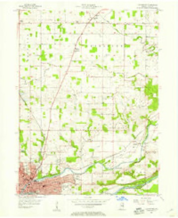
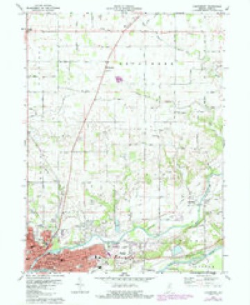
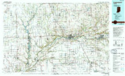
10 topographic sheets cover this place, the earliest surveyed in 1953 and the latest in 1985. It stands in Bethlehem Township. It lies in ZIP code area 46950. The Survey maps it on the Logansport quadrangle. It stands 781 feet above sea level.
Topographic sheets covering this place
6 surveys from 10 printed sheetsMatched by testing this settlement's coordinate against the published boundary of every sheet in the United States Geological Survey's historical collection. Each opens the scanned sheet at the Survey.
- 1953 USGS Danville quadrangle1:250000, 3 printings
- 1955 USGS Danville quadrangle1:250000
- 1955 USGS Logansport quadrangle1:24000
- 1956 USGS Danville quadrangle1:250000
- 1972 USGS Logansport quadrangle1:24000, 2 printings
- 1985 USGS Logansport quadrangle1:100000, 2 printings



In the county-history sources
10,908 words on this townshipHistory of Cass County, Indiana, from Its Earliest Settlement to the Present Time;, published 1913 names this settlement in its chapter on Bethlehem Township. These are the passages that mention it, exactly as the scans read.
Metea, near the center of the township is said to be the highest point in the county and from this point the township is drained in three directions, to wit : Northwest, large ditches have been dug leading into Blue Grass creek and ultimately into the Tippecanoe river; southwest into Crooked creek and the Wabash river; and southeast into Spring creek. The largest water course is a branch of Twelve Mile creek, that arises near the center of the township and flows southeast, through sections. 22, 23, 24 and 25, crossing the eastern boundary into Adams township, about a mile and a quarter north of the southeast comer of the township. This stream affords natural drainage for a large area of territory, is fed by springs in the eastern part of the township and has a constant flow. It was on lands adjacent to this creek that the earliest settlers located their homes. Bethlehem township is pre-eminently an agricultural district and its people are exclusively engaged in that calling.
Passage source: History of Cass County, Indiana, from Its Earliest Settlement to the Present Time;, published 1913.
In the onward march of progress, roads have been changed to section lines and new roads opened until roads cross each other on nearly every section line. Bethlehem has about twelve miles of stone road extending from Metea north to the county line and west to the township line. Also the entire division road along the west line of the township and otj;ier stone roads are in process of construction. All the main roads have been graveled in marked contrast to the old Indian trail, along which J. RAHinton traveled in 1830 to reach the first cabin ever constructed by a white man within the boundaries of Bethlehem. The Michigan road was never graveled and scarcely graded and was almost unpassable in wet weather until about 1852, when a company built a plank road from Logansport through Bethlehem to Fulton. This was a toll road and was easy to travel for a year or two, but the boards began to rot, turn up and had to be abandoned in a few years. About 1867 the road was graveled as far north as Metea, being the first gravel road in the township.
Passage source: History of Cass County, Indiana, from Its Earliest Settlement to the Present Time;, published 1913.
James Troutman, however, kept a tavern on the east side of Main street, known as the Seven Mile House, until his death in September, 1847. In early times tavern keepers were required to take out a license and the commissioners^ record shows that J. Troutman paid $10.00 for a tavern license on January 2, 1837. Later Mr. Lumbert and others kept this popular hostelry until about 1855-56 when the old Troutman tavern and the adjoining farm was purchased by his son-in-law, Jacob Powell, and the tavern was converted into a farm house. Metea postoflSce was kept here during the Civil war.
Passage source: History of Cass County, Indiana, from Its Earliest Settlement to the Present Time;, published 1913.
Machine-read from a century-old scan, so expect the errors a machine makes: misspelled names, dropped words, stray characters.
Read the whole chapter on Bethlehem Township - it names this place 17 more 17 times.
Storms near this place
1 since 2008Regional context, not property-specific evidence. The National Weather Service names Metea in 1 storm report in 2008: 1 thunderstorm wind. No death or injury is recorded in these reports. Each account below is quoted exactly as the forecast office filed it, from the NOAA Storm Events Database, and each date opens the federal record of that event.
| When | Event | Place named | Harm | What the report says |
|---|---|---|---|---|
| July 2008 | Thunderstorm Wind | Metea | - | Emergency management officials reported several trees down in the Fletcher area. |
Nearest settlements
The eight closest, with where each one stands in the county. Distances are straight-line, computed from the Geographic Names Information System coordinates.
| Map | Place | Distance | Sheets |
|---|---|---|---|
| Mount Pleasant | 1.6 miles | 10 | |
| Leases Corner | 3.4 miles | 10 | |
| Twelve Mile | 4.5 miles | 13 | |
| Verona | 4.9 miles | 10 | |
| Lucerne | 5.0 miles | 9 | |
| Adamsboro | 6.3 miles | 10 | |
| Old Adamsboro | 6.5 miles | 10 | |
| Little Charlie | 6.5 miles | 13 |
Elsewhere
Matched on this settlement's Geographic Names Information System number rather than its name, so it cannot be a different place of the same name in another state.
| Wikipedia article on Metea | An encyclopaedic summary. Its text is share-alike, so it is linked here rather than copied. |
| Wikidata item Q6823381 | The structured record the population and elevation above come from. Public domain (CC0). |
Provenance
This settlement is recorded in the Geographic Names Information System as feature 439048. The sheet list is computed by point-in-boundary test against the United States Geological Survey's historical topographic inventory. Both are works of the United States government and carry no copyright under 17 U.S.C. 105.
Storms. NOAA National Centers for Environmental Information, Storm Events Database https://www.ncei.noaa.gov/stormevents/ A work of the United States government, no copyright under 17 U.S.C. 105. Narratives are quoted verbatim from the National Weather Service report and are not edited or summarised.