 Block
Twelve Mile, Indiana
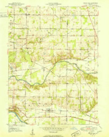
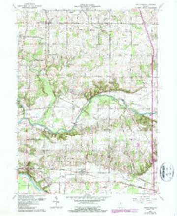
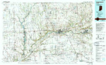
13 topographic sheets cover this place, the earliest surveyed in 1951 and the latest in 1985. It stands in Adams Township. It lies in ZIP code area 46988. The Survey maps it on the Twelve Mile quadrangle. It stands 801 feet above sea level.
Topographic sheets covering this place
6 surveys from 13 printed sheetsMatched by testing this settlement's coordinate against the published boundary of every sheet in the United States Geological Survey's historical collection. Each opens the scanned sheet at the Survey.
- 1951 USGS Twelve Mile quadrangle1:24000, 2 printings
- 1953 USGS Danville quadrangle1:250000, 3 printings
- 1955 USGS Danville quadrangle1:250000
- 1956 USGS Danville quadrangle1:250000
- 1963 USGS Twelve Mile quadrangle1:24000, 4 printings
- 1985 USGS Logansport quadrangle1:100000, 2 printings



Storms near this place
13 since 2000Regional context, not property-specific evidence. The National Weather Service names Twelve Mile in 13 storm reports between 2000 and 2015: 10 thunderstorm wind, 2 hail, 1 tornado. No death or injury is recorded in these reports. Each account below is quoted exactly as the forecast office filed it, from the NOAA Storm Events Database, and each date opens the federal record of that event.
| When | Event | Place named | Harm | What the report says |
|---|---|---|---|---|
| August 2007 | Thunderstorm Wind | Twelve Mile | $30,000 | Numerous trees were blown down, with 2 houses suffering damage as well as the rear windows of a minivan being broken out. |
| June 2000 | Thunderstorm Wind | Twelve Mile | $5,000 | Barn roof off near Twelve Mile and several trees down throughout the county. |
| September 2015 | Thunderstorm Wind | Twelve Mile | - | Emergency management officials reported several trees down across the road. Damage to power lines also noted. |
| June 2013 | Thunderstorm Wind | Twelve Mile | - | Emergency management officials reported a large branch fell onto a home, penetrating the structure. |
| June 2012 | Thunderstorm Wind | Twelve Mile | - | Law enforcement officials reported multiple trees and power lines down in and around Twelve Mile. |
| June 2012 | Thunderstorm Wind | Twelve Mile | - | Emergency management officials reported a barn was blown off its foundation and destroyed in the 7000 block of East County Road 800 North. |
| July 2011 | Thunderstorm Wind | Twelve Mile | - | Emergency management officials reported numerous trees down southwest of Twelve Mile. |
| April 2011 | Thunderstorm Wind | Twelve Mile | - | A NWS survey team was sent to investigate damage from a small, older barn. Debris was found up to one eighth of a mile from the structure with a small piece of debris being wrapped around a power pole. While the possibility exists that a brief circulation was present, this feature would have been associated with the gust front and not considered a tornado. Winds were estimated at between 65 and 75 mph. |
| April 2011 | Thunderstorm Wind | Twelve Mile | - | An outdoor antenna tower was bent over at roof level at a residence on County Road 700 North. In addition, a tree was snapped next to the house, the roof of a garage was damaged and the corner of the garage shifted off its foundation. Winds are estimated to range from 65 to 75 mph. |
| July 2003 | Tornado (F0) | Twelve Mile | - | Emergency management reported a brief F0 tornado touched down 2 miles southwest of Twelve Mile and lifted near Twelve Mile. F0 damage was to trees and corn fields. |
| October 2001 | Thunderstorm Wind | Twelve Mile | - | Law enforcement reported trees down near Twelve Mile. |
| August 2007 | Hail | Twelve Mile | - | no account filed |
| July 2003 | Hail | Twelve Mile | - | no account filed |
Nearest settlements
The eight closest, with where each one stands in the county. Distances are straight-line, computed from the Geographic Names Information System coordinates.
| Map | Place | Distance | Sheets |
|---|---|---|---|
| Little Charlie | 3.1 miles | 13 | |
| Hoover | 4.2 miles | 13 | |
| Metea | 4.5 miles | 10 | |
| Mount Pleasant | 5.4 miles | 10 | |
| Old Adamsboro | 6.0 miles | 10 | |
| Adamsboro | 6.1 miles | 10 | |
| New Waverly | 7.3 miles | 13 | |
| Danes | 7.5 miles | 10 |
Elsewhere
Matched on this settlement's Geographic Names Information System number rather than its name, so it cannot be a different place of the same name in another state.
| Wikipedia article on Twelve Mile | An encyclopaedic summary. Its text is share-alike, so it is linked here rather than copied. |
| Wikidata item Q7857621 | The structured record the population and elevation above come from. Public domain (CC0). |
Provenance
This settlement is recorded in the Geographic Names Information System as feature 445000. The sheet list is computed by point-in-boundary test against the United States Geological Survey's historical topographic inventory. Both are works of the United States government and carry no copyright under 17 U.S.C. 105.
Storms. NOAA National Centers for Environmental Information, Storm Events Database https://www.ncei.noaa.gov/stormevents/ A work of the United States government, no copyright under 17 U.S.C. 105. Narratives are quoted verbatim from the National Weather Service report and are not edited or summarised.