 Block
Mount Tabor, Indiana
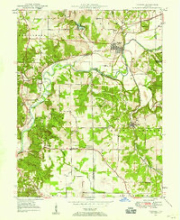
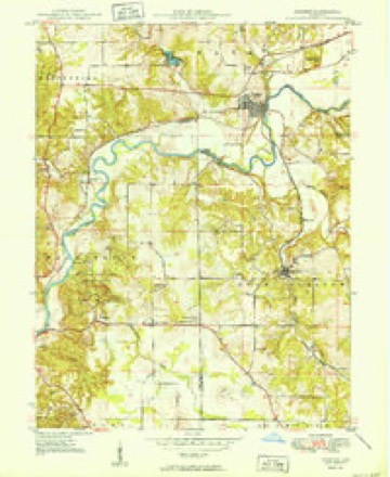
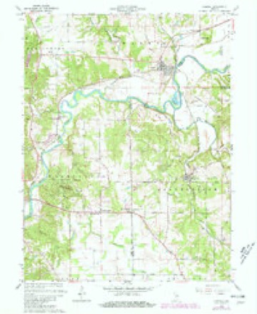
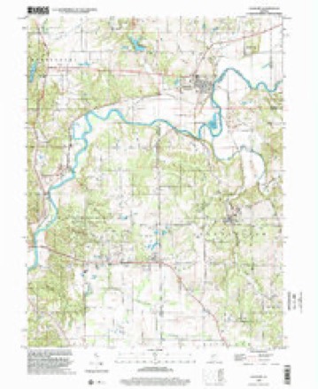
18 topographic sheets cover this place, the earliest surveyed in 1947 and the latest in 1998. It stands in Bean Blossom Township. It lies in ZIP code area 47429. It stands on Jacks Defeat Creek. The Survey maps it on the Gosport quadrangle. It stands 581 feet above sea level.
Topographic sheets covering this place
9 surveys from 18 printed sheetsMatched by testing this settlement's coordinate against the published boundary of every sheet in the United States Geological Survey's historical collection. Each opens the scanned sheet at the Survey.
- 1947 USGS Gosport quadrangle1:24000
- 1950 USGS Gosport quadrangle1:24000
- 1953 USGS Indianapolis quadrangle1:250000, 4 printings
- 1956 USGS Indianapolis quadrangle1:250000
- 1957 USGS Indianapolis quadrangle1:250000, 2 printings
- 1962 USGS Indianapolis quadrangle1:250000
- 1965 USGS Gosport quadrangle1:24000, 4 printings
- 1986 USGS Bloomington quadrangle1:100000, 3 printings
- 1998 USGS Gosport quadrangle1:24000





In the county-history sources
10,276 words on this township1884 History of Monroe County Indiana, published 1884 names this settlement in its chapter on Bean Blossom Township. These are the passages that mention it, exactly as the scans read.
The first school, it is said, was taught inthe Putnam neighborhood, about the year 1828, by a Mr. Taylor. The house was a residence of logs, that had. been vacated, and was then used for several years for school purposes. A school was started about the same time in the northern part near the Buskirks. By 1836, there were four established schools in the township - one east of Mount Tabor, one west of Mount Tabor, one a mile and a half south of Stinesville, and the fourth about three miles southeast of Stinesville. Of course the four houses were of: logs. In 1846, the number of districts had been increased to five or six. In 1856, schoolhouses were standing on Sections 2, 12, just south of Mount Tabor, 7, two houses on Section 29, and 23. Since that day, the schools have been greatly improved. Mount Tabor had no schoolhouse but sent to the country houses. The building about a quarter of a mile south was the principal one, and this was at first used also by the children of Stinesville. Twelve or fifteen years ago, a schoolhouse was built in the latter town. About five years ago, the building was burned and another, which is yet used, was erected the same ee Three famous teachers during the decade of thirties were Eusebius, Euraneus and Ambrose Hinkle, brothers, sons of a wealthy slave-holder of 'Tennessee, and young men of fine manners, finished education and among the most perfect disciplinarians ever in charge of schools in the township. Eusebius, the elder, was a Lutheran minister, and often preached in German to members of his church who could not understand English very well. The morning sermon was in German, and the evening sermon in English. The brothers were single men, though the elder married one of the fair daughters of the township. These brothers were in such demand to take charge of the schools that comparatively large amounts were raised by subscription in addition to the stinted amount furnished by the school fund, to pay them for their services. 'They introduced grammar, United States History and algebra into their schools, and created an interest in improved and advanced education that had a marked beneficial effect upon all the surrounding schools. Clinton C. Owens was another early teacher of pronounced success. He was finely educated and his discipline was the pride of the district where he taught. At no time since has the township had better schools than under Owens and Hinkles. The township schools in 1880-81, with the teachers, etc., were as follows:
Passage source: 1884 History of Monroe County Indiana, published 1884.
Machine-read from a century-old scan, so expect the errors a machine makes: misspelled names, dropped words, stray characters.
Fires near this place
14 since 2005Regional context, not property-specific evidence. The federal wildfire occurrence database lists 14 fires within 5 miles of Mount Tabor between 2005 and 2008, burning about 4 acres in total. 1 started naturally. 2 were recorded as arson. Distance is straight-line from the map coordinates, so a fire counted here may appear on a neighbouring settlement's page as well.
| Reported cause | Fires |
|---|---|
| Recreation and ceremony | 6 |
| Debris and open burning | 3 |
| Arson/incendiarism | 2 |
| Missing data/not specified/undetermined | 2 |
| Natural | 1 |
The most recent of them, most recent first, with the day each was reported and the service that recorded it.
| Date | Cause | Size | Reported by | Name on the report |
|---|---|---|---|---|
| 6 September 2005 | Arson/incendiarism | under an acre | Indiana State Fire Marshal's Office | not named |
| 29 July 2007 | Recreation and ceremony | under an acre | Indiana State Fire Marshal's Office | not named |
| 27 June 2007 | Recreation and ceremony | under an acre | Indiana State Fire Marshal's Office | not named |
| 26 June 2007 | Natural | under an acre | Indiana State Fire Marshal's Office | not named |
| 5 May 2008 | Recreation and ceremony | under an acre | Indiana State Fire Marshal's Office | not named |
| 7 April 2008 | Recreation and ceremony | under an acre | Indiana State Fire Marshal's Office | not named |
| 5 April 2005 | Arson/incendiarism | under an acre | Indiana State Fire Marshal's Office | not named |
| 18 April 2005 | Missing data/not specified/undetermined | 1.0 acres | Indiana State Fire Marshal's Office | not named |
Settlements close enough to share some of these fires:
Mines and quarries near this place
3 within 5 milesRegional context, not property-specific evidence. The federal mineral resources record lists 3 workings within 5 miles of Mount Tabor: 2 producers, 1 past producer. 2 still produce. What was taken out: Limestone, Dimension, Limestone, General. Distance is straight-line from the map coordinates, so a quarry counted here may appear on a neighbouring settlement's page as well.
| Where | Site | Commodity | Status | Recorded |
|---|---|---|---|---|
| Indiana Limestone Quarry | Limestone, General | Past Producer | ||
| Smith's Quarry | Limestone, Dimension | Producer | ||
| Texas Mill | Limestone, Dimension | Producer |
Nearest settlements
The eight closest, with where each one stands in the county. Distances are straight-line, computed from the Geographic Names Information System coordinates.
| Map | Place | Distance | Sheets |
|---|---|---|---|
| Stinesville | 1.3 miles | 18 | |
| Modesto | 5.3 miles | 17 | |
| Ellettsville | 5.4 miles | 30 | |
| Wayport | 6.7 miles | 17 | |
| West Brook Downs | 6.9 miles | 25 | |
| Forest Park Heights | 7.4 miles | 25 | |
| Hindustan | 8.0 miles | 21 | |
| Lancaster Park | 8.0 miles | 25 |
Elsewhere
Matched on this settlement's Geographic Names Information System number rather than its name, so it cannot be a different place of the same name in another state.
| Wikipedia article on Mount Tabor | An encyclopaedic summary. Its text is share-alike, so it is linked here rather than copied. |
| Wikidata item Q6923971 | The structured record the population and elevation above come from. Public domain (CC0). |
Provenance
This settlement is recorded in the Geographic Names Information System as feature 439704. The sheet list is computed by point-in-boundary test against the United States Geological Survey's historical topographic inventory. Both are works of the United States government and carry no copyright under 17 U.S.C. 105.
Wildfire. Short, Karen C. 2022. Spatial wildfire occurrence data for the United States, 1992-2020 [FPA_FOD_20221014]. 6th Edition. Fort Collins, CO: Forest Service Research Data Archive. https://doi.org/10.2737/RDS-2013-0009.6 Collected with United States Government funding and usable without additional permissions or fees.
Mines and quarries. USGS Mineral Resources Data System (MRDS) https://mrdata.usgs.gov/mrds/ A work of the United States government, no copyright under 17 U.S.C. 105.