 Block
New Columbus, Indiana
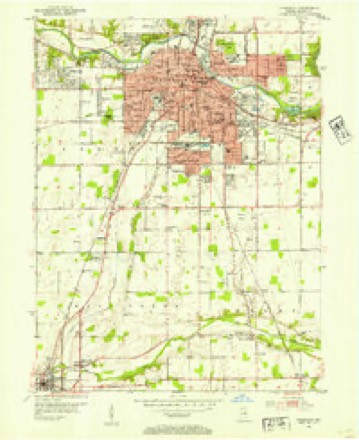
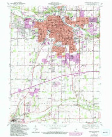
14 topographic sheets cover this place, the earliest surveyed in 1952 and the latest in 1986. It stands in Adams Township. It lies in ZIP code area 46013. It stands on Sugar Fork. The Survey maps it on the Anderson South quadrangle.
Topographic sheets covering this place
5 surveys from 14 printed sheetsMatched by testing this settlement's coordinate against the published boundary of every sheet in the United States Geological Survey's historical collection. Each opens the scanned sheet at the Survey.
- 1952 USGS Anderson quadrangle1:24000
- 1953 USGS Muncie quadrangle1:250000, 5 printings
- 1956 USGS Muncie quadrangle1:250000
- 1961 USGS Anderson South quadrangle1:24000, 4 printings
- 1986 USGS Muncie quadrangle1:100000, 3 printings



What happened here
An account from the chapter on Adams township. The inset identifies its exact source book and publication year.
White
This murder took place on the 8tli day of April, 1867, two and one-half miles southeast of Anderson, on the east pike leading to Columbus, in a piece of woods where the larger timber had been cut off and a dense undergrowth covered the ground. The facts in regard to the murderer's arrest and execution are about as follows : Tlie parties had lived neighbors and were considered good friends.
In the county-history sources
21,653 words on this townshipHistory of Madison County, Indiana, from 1820 to 1874 : Giving a General Review of Principal Events, Statistical and Historical Items, Derived from Official Sources, published 1874 names this settlement in its chapter on Adams Township. These are the passages that mention it, exactly as the scans read.
This township is situated in the southeast corner of the county. It is seven miles from north to south and five from east to west, and contains thirty-five square miles. The township derived its name from Abraham Adams, who was one of the first settlers, coming here in 1823, and locating near New Columbus. Among the other first settlers we find the names of John Adams, Reason Sargent, William Penn, John, Andrew, and David Ellsworth, Levi Brewer, Thornton Rector, William Nelson, Manly Richards, Stephen and James Noland, Peter Jones, Bridge, Sawyer and Hudson, (the three latter of the Indian murder.) Of those who came soon afterward, and located in different parts of the township, we find the names of Thomas Bell, Hiram Birch, Joseph Smith, David Rice, John Coopman, John and Moses Surber, John Blake, William Sloan, Stephen Norman, Isaac Cooper, Thomas, William and Garrett McCallister, Ralph Williams, John Markle, James Collier, Stephen and Henry Dobson, Morris Gillmore, Thomas Shelton and William Stanley.
Passage source: History of Madison County, Indiana, from 1820 to 1874 : Giving a General Review of Principal Events, Statistical and Historical Items, Derived from Official Sources, published 1874.
The election was first held at the house of Abraham Adams then at the house of Manly Richards. About the year 1830, the precinct was permanently located at New Columbus. The second precinct was established at Markleville in 1870. The following have served as trustees : William Sloan, Jacob Festler, John Boram, J. H. Dailey, Randall Biddle, Nelson Prichard and John Justice. There are ten school houses in the township, eight frame and two brick ; the former are twenty-two by thirty, and cost $600 apiece ; the latter are twenty by forty, and cost $1,200 each.
Passage source: History of Madison County, Indiana, from 1820 to 1874 : Giving a General Review of Principal Events, Statistical and Historical Items, Derived from Official Sources, published 1874.
The total number of school children in 1858 was five hundred and eighty-four, and the total number in 1874 was five hundred and thirty-eight. The number of polls in 1872 was three hundred and twenty-three, of which one hundred and forty-one were cast at New Columbus, and one hundred and eighty-two at Markleville. The population of the township in 1850 was one thousand three hundred and nine; in 1860 it was one thousand four hundred and fifty-three, and in 1870 it was one thousand five hundred and seventy-six.
Passage source: History of Madison County, Indiana, from 1820 to 1874 : Giving a General Review of Principal Events, Statistical and Historical Items, Derived from Official Sources, published 1874.
Machine-read from a century-old scan, so expect the errors a machine makes: misspelled names, dropped words, stray characters.
Read the whole chapter on Adams Township - it names this place 8 more 8 times.
Fires near this place
2 since 2004Regional context, not property-specific evidence. The federal wildfire occurrence database lists 2 fires within 5 miles of New Columbus in 2004, burning about 1 acre in total. None started naturally. None was recorded as arson. Distance is straight-line from the map coordinates, so a fire counted here may appear on a neighbouring settlement's page as well.
| Reported cause | Fires |
|---|---|
| Recreation and ceremony | 1 |
| Missing data/not specified/undetermined | 1 |
The most recent of them, most recent first, with the day each was reported and the service that recorded it.
| Date | Cause | Size | Reported by | Name on the report |
|---|---|---|---|---|
| 18 April 2004 | Recreation and ceremony | 1.0 acres | Indiana State Fire Marshal's Office | not named |
| 16 April 2004 | Missing data/not specified/undetermined | under an acre | Indiana State Fire Marshal's Office | not named |
Settlements close enough to share some of these fires:
Mines and quarries near this place
2 within 5 milesRegional context, not property-specific evidence. The federal mineral resources record lists 2 workings within 5 miles of New Columbus: 1 occurrence, 1 producer. 1 still produces. What was taken out: Zinc, Sulfur, Stone, Crushed/Broken. Distance is straight-line from the map coordinates, so a quarry counted here may appear on a neighbouring settlement's page as well.
| Where | Site | Commodity | Status | Recorded |
|---|---|---|---|---|
| Pendleton Quarry | Stone, Crushed/Broken | Producer | ||
| Sphalerite Occurrence Z73 | Zinc, Sulfur | Occurrence | Sphalerite |
Storms near this place
1 since 2020Regional context, not property-specific evidence. The National Weather Service names New Columbus in 1 storm report in 2020: 1 thunderstorm wind. No death or injury is recorded in these reports. Each account below is quoted exactly as the forecast office filed it, from the NOAA Storm Events Database, and each date opens the federal record of that event.
| When | Event | Place named | Harm | What the report says |
|---|---|---|---|---|
| April 2020 | Thunderstorm Wind | New Columbus | $50,000 | Numerous power outages reported across southern and central Madison county. Trees and tree limbs downed due to thunderstorm wind gusts. |
Nearest settlements
The eight closest, with where each one stands in the county. Distances are straight-line, computed from the Geographic Names Information System coordinates.
| Map | Place | Distance | Sheets |
|---|---|---|---|
| Alliance | 1.0 miles | 14 | |
| Emporia | 1.5 miles | 14 | |
| Harmeson Heights | 3.4 miles | 14 | |
| Markleville | 3.6 miles | 8 | |
| Huntsville | 4.0 miles | 14 | |
| Crestlawn | 4.1 miles | 14 | |
| Lowmandale | 4.1 miles | 14 | |
| Meadowbrook | 4.3 miles | 14 |
Provenance
This settlement is recorded in the Geographic Names Information System as feature 440036. The sheet list is computed by point-in-boundary test against the United States Geological Survey's historical topographic inventory. Both are works of the United States government and carry no copyright under 17 U.S.C. 105.
Wildfire. Short, Karen C. 2022. Spatial wildfire occurrence data for the United States, 1992-2020 [FPA_FOD_20221014]. 6th Edition. Fort Collins, CO: Forest Service Research Data Archive. https://doi.org/10.2737/RDS-2013-0009.6 Collected with United States Government funding and usable without additional permissions or fees.
Mines and quarries. USGS Mineral Resources Data System (MRDS) https://mrdata.usgs.gov/mrds/ A work of the United States government, no copyright under 17 U.S.C. 105.
Storms. NOAA National Centers for Environmental Information, Storm Events Database https://www.ncei.noaa.gov/stormevents/ A work of the United States government, no copyright under 17 U.S.C. 105. Narratives are quoted verbatim from the National Weather Service report and are not edited or summarised.