 Block
Nutwood, Indiana
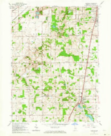
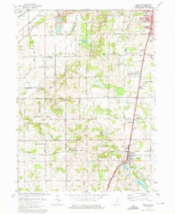
11 topographic sheets cover this place, the earliest surveyed in 1953 and the latest in 1983. It stands in Centre Township. It lies in ZIP code area 46614. The Survey maps it on the Lakeville quadrangle. It stands 837 feet above sea level.
Topographic sheets covering this place
5 surveys from 11 printed sheetsMatched by testing this settlement's coordinate against the published boundary of every sheet in the United States Geological Survey's historical collection. Each opens the scanned sheet at the Survey.
- 1953 USGS Chicago quadrangle1:250000, 5 printings
- 1957 USGS Chicago quadrangle1:250000
- 1958 USGS Lakeville quadrangle1:24000
- 1974 USGS Lakeville quadrangle1:24000, 2 printings
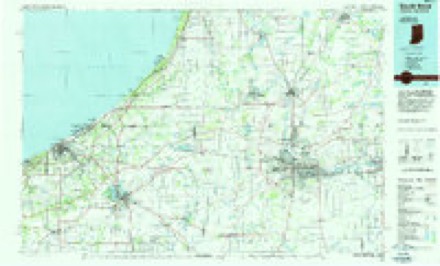
- 1983 USGS South Bend quadrangle1:100000, 2 printings


In the county-history sources
3,998 words on this townshipHistory of St. Joseph County, Indiana :, published 1880 has no passage naming this settlement, which was common for smaller places. Its township is covered in full.
The chapter on Centre Township covers the township.
Read the chapter on Centre Township - 3,998 words.
Mines and quarries near this place
5 within 5 milesRegional context, not property-specific evidence. The federal mineral resources record lists 5 workings within 5 miles of Nutwood: 3 past producers, 2 producers. 2 still produce. What was taken out: Sand and Gravel, Construction. Distance is straight-line from the map coordinates, so a quarry counted here may appear on a neighbouring settlement's page as well.
| Where | Site | Commodity | Status | Recorded |
|---|---|---|---|---|
| Albert Rupple Pit | Sand and Gravel, Construction | Past Producer | ||
| Mc Carthy Pit | Sand and Gravel, Construction | Past Producer | ||
| Saint Joseph Sand and Gravel Pit | Sand and Gravel, Construction | Past Producer | ||
| St. Joseph Materials Co., Inc. | Sand and Gravel, Construction | Producer | ||
| Steenburg Pit | Sand and Gravel, Construction | Producer |
Storms near this place
17 since 2009Regional context, not property-specific evidence. The National Weather Service names Nutwood in 17 storm reports between 2009 and 2025: 10 thunderstorm wind, 5 hail, 1 lightning, 1 tornado. The reports record 1 injury. Each account below is quoted exactly as the forecast office filed it, from the NOAA Storm Events Database, and each date opens the federal record of that event.
| When | Event | Place named | Harm | What the report says |
|---|---|---|---|---|
| August 2014 | Lightning | Nutwood | 1 hurt | Local media reported a 51 year old man was struck by lightning while working outside prior to the arrival of a thunderstorms. The gentleman complained of a headache and sore shoulders, but suffered no serious injuries and was able to call for help on his own. |
| June 2009 | Thunderstorm Wind | Nutwood | $20,000 | The local newspaper reported numerous trees down with some structural damage east of US 31 as well as south of Kern Road, near the Southlawn Cemetery. A large tree was uprooted, falling onto a house, causing extensive roof damage to one side of the home. At least one vehicle was damaged from a downed tree. Damage is estimated at $20,000. |
| August 2022 | Thunderstorm Wind | Nutwood | $10,000 | A power pole and lines are down in the street. |
| March 2025 | Thunderstorm Wind | Nutwood | $5,000 | Trees down and large branches down near US 31 and New Road. |
| May 2024 | Thunderstorm Wind | Nutwood | $5,000 | Trees down onto powerlines along west Inland Rd near Locust Rd. Photo on Facebook. |
| March 2023 | Hail | Nutwood | $2,000 | Photo on twitter shows quarter sized hail. |
| June 2025 | Thunderstorm Wind | Nutwood | $1,000 | Large tree limbs down onto sheds on the south side of South Bend. |
| June 2024 | Hail | Nutwood | $1,000 | Quarter size hail near new road and US 31. |
| March 2025 | Thunderstorm Wind | Nutwood | - | Private weather station near the St. Joe County Fairgrounds. |
| October 2021 | Thunderstorm Wind | Nutwood | - | Local fire officials reported trees were blown down. |
| August 2020 | Thunderstorm Wind | Nutwood | - | County dispatch reported a tree was blown down onto a power line near the intersection of Roosevelt and Miami Roads. |
| August 2020 | Thunderstorm Wind | Nutwood | - | Local media relayed reports of trees and tree limbs blown down, including onto one home, on the south side of South Bend. |
| June 2019 | Tornado (EF0) | Nutwood | - | The tornado, initially weak and narrow, developed on Cranston Street, just east of Ironwood Drive. The tornado continued to strengthen as it traveled north crossing U.S. Highway 20. By far the greatest damage occurred at the Growing Kids Learning Center on East Ireland Road, just east of South Ironwood Drive. Thereafter the |tornado continued to track north while weakening. The tornado narrowed and dissipated along Ewing Road, just east of Ironwood Dr. ||The descent of the tornado into the valley along Ireland Road aided in the rapid intensification of this shallow, low-topped tornadic circulation. |
| September 2018 | Thunderstorm Wind | Nutwood | - | Local media reported two small sheds were blown over at a local hardware store. |
| June 2019 | Hail | Nutwood | - | no account filed |
| February 2017 | Hail | Nutwood | - | no account filed |
| July 2014 | Hail | Nutwood | - | no account filed |
Nearest settlements
The eight closest, with where each one stands in the county. Distances are straight-line, computed from the Geographic Names Information System coordinates.
| Map | Place | Distance | Sheets |
|---|---|---|---|
| Orchard Heights Addition | 2.3 miles | 11 | |
| Gilmer Park | 2.4 miles | 11 | |
| Miami Trails Addition | 2.5 miles | 11 | |
| Crest Manor Addition | 3.0 miles | 11 | |
| Colburn | 3.2 miles | 11 | |
| Lakeville | 4.8 miles | 11 | |
| Pine Station | 5.1 miles | 11 | |
| Hi-View Addition | 5.6 miles | 11 |
Elsewhere
Matched on this settlement's Geographic Names Information System number rather than its name, so it cannot be a different place of the same name in another state.
| Wikidata item Q22059115 | The structured record the population and elevation above come from. Public domain (CC0). |
Provenance
This settlement is recorded in the Geographic Names Information System as feature 452711. The sheet list is computed by point-in-boundary test against the United States Geological Survey's historical topographic inventory. Both are works of the United States government and carry no copyright under 17 U.S.C. 105.
Mines and quarries. USGS Mineral Resources Data System (MRDS) https://mrdata.usgs.gov/mrds/ A work of the United States government, no copyright under 17 U.S.C. 105.
Storms. NOAA National Centers for Environmental Information, Storm Events Database https://www.ncei.noaa.gov/stormevents/ A work of the United States government, no copyright under 17 U.S.C. 105. Narratives are quoted verbatim from the National Weather Service report and are not edited or summarised.