 Block
Gilmer Park, Indiana
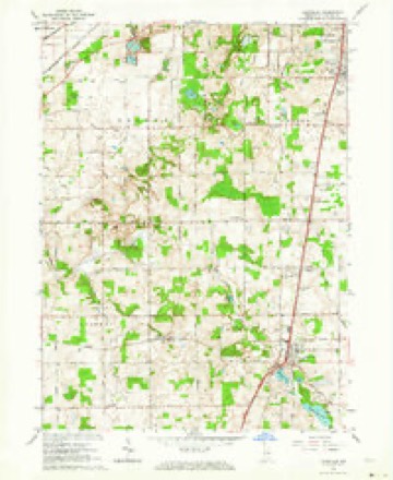
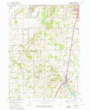
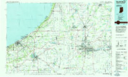
11 topographic sheets cover this place, the earliest surveyed in 1953 and the latest in 1983. It stands in Centre Township. It lies in ZIP code area 46614. The Survey maps it on the Lakeville quadrangle.
Topographic sheets covering this place
5 surveys from 11 printed sheetsMatched by testing this settlement's coordinate against the published boundary of every sheet in the United States Geological Survey's historical collection. Each opens the scanned sheet at the Survey.
- 1953 USGS Chicago quadrangle1:250000, 5 printings
- 1957 USGS Chicago quadrangle1:250000
- 1958 USGS Lakeville quadrangle1:24000
- 1974 USGS Lakeville quadrangle1:24000, 2 printings
- 1983 USGS South Bend quadrangle1:100000, 2 printings


In the county-history sources
3,998 words on this townshipHistory of St. Joseph County, Indiana :, published 1880 has no passage naming this settlement, which was common for smaller places. Its township is covered in full.
The chapter on Centre Township covers the township.
Read the chapter on Centre Township - 3,998 words.
Mines and quarries near this place
9 within 5 milesRegional context, not property-specific evidence. The federal mineral resources record lists 9 workings within 5 miles of Gilmer Park: 7 producers, 2 past producers. 7 still produce. What was taken out: Sand and Gravel, Construction, Stone. Distance is straight-line from the map coordinates, so a quarry counted here may appear on a neighbouring settlement's page as well.
| Where | Site | Commodity | Status | Recorded |
|---|---|---|---|---|
| South Bend S & G Corp. | Stone | Producer | ||
| Albert Rupple Pit | Sand and Gravel, Construction | Past Producer | ||
| Bendix Pit | Sand and Gravel, Construction | Producer | ||
| Dry Island Pit and Mill | Sand and Gravel, Construction | Producer | ||
| Saint Joseph Sand and Gravel Pit | Sand and Gravel, Construction | Past Producer | ||
| St. Joseph Co. Hwy. Dept. | Sand and Gravel, Construction | Producer | ||
| St. Joseph Materials Co. | Sand and Gravel, Construction | Producer | ||
| St. Joseph Materials Co., Inc. | Sand and Gravel, Construction | Producer | ||
| Steenburg Pit | Sand and Gravel, Construction | Producer |
Storms near this place
15 since 2015Regional context, not property-specific evidence. The National Weather Service names Gilmer Park in 15 storm reports between 2015 and 2024: 8 thunderstorm wind, 4 hail, 2 flood, 1 tornado. No death or injury is recorded in these reports. Each account below is quoted exactly as the forecast office filed it, from the NOAA Storm Events Database, and each date opens the federal record of that event.
| When | Event | Place named | Harm | What the report says |
|---|---|---|---|---|
| June 2024 | Thunderstorm Wind | Gilmer Park | $5,000 | Trees and power lines down in Green Township, near Roosevelt and Mulberry Road. |
| June 2024 | Thunderstorm Wind | Gilmer Park | $1,000 | Tree down blocking both lanes near Myrtle and Kern Roads. |
| July 2022 | Thunderstorm Wind | Gilmer Park | $1,000 | A tree across Ireland Road and Myrtle Road. Reported via Twitter. |
| June 2019 | Thunderstorm Wind | Gilmer Park | - | A trained spotter reported a six inch diameter tree limb was blown down. |
| May 2019 | Thunderstorm Wind | Gilmer Park | - | Local fire officials reported numerous three to four inch diameter tree branches down. |
| May 2019 | Thunderstorm Wind | Gilmer Park | - | Multiple tree branches were blown down, ranging from three to four inches in diameter. |
| March 2016 | Thunderstorm Wind | Gilmer Park | - | Broadcast media reported several power poles were leaning along Mayflower Road between State Route 23 and Cloyd Street. A roof was blown off a building on West Dunham. |
| October 2016 | Tornado (EF0) | Gilmer Park | - | Video evidence and spotter reports indicate a brief EF-0 tornado occurred. The start of the damage path is associated with a video depicting the tornado at the intersection of Route 23 and the bypass. A second observation of the tornado occurred just to the southwest of the intersection of Calvert Street and Renewable Road where a narrow corridor of corn damage was found near the end of the damage path. Damage along the tornado path was classified as EF-0. This tornado was embedded within a larger area of wind damage associated with a microburst. In addition, some straight line wind damage was observed on West Indiana Avenue. |
| July 2015 | Thunderstorm Wind | Gilmer Park | - | Large tree down on power line at the intersection of Ireland Road and Magnolia Road. |
| July 2015 | Flood | Gilmer Park | - | U.S. 20 interchange closed due to an accident due to a water covered roadway. |
| July 2015 | Flood | Gilmer Park | - | U.S. 20/ U.S. 31 bypass closed between State Road 23 and U.S. 31 due to high water. |
| June 2019 | Hail | Gilmer Park | - | no account filed |
| June 2019 | Hail | Gilmer Park | - | no account filed |
| June 2019 | Hail | Gilmer Park | - | no account filed |
| June 2017 | Hail | Gilmer Park | - | no account filed |
Nearest settlements
The eight closest, with where each one stands in the county. Distances are straight-line, computed from the Geographic Names Information System coordinates.
| Map | Place | Distance | Sheets |
|---|---|---|---|
| Crest Manor Addition | 1.0 miles | 11 | |
| Orchard Heights Addition | 1.4 miles | 11 | |
| Miami Trails Addition | 1.7 miles | 11 | |
| Nutwood | 2.4 miles | 11 | |
| Hi-View Addition | 4.0 miles | 11 | |
| South Bend | 4.4 miles | 13 | |
| Colburn | 5.0 miles | 11 | |
| Woodland | 5.5 miles | 11 |
Provenance
This settlement is recorded in the Geographic Names Information System as feature 452607. The sheet list is computed by point-in-boundary test against the United States Geological Survey's historical topographic inventory. Both are works of the United States government and carry no copyright under 17 U.S.C. 105.
Mines and quarries. USGS Mineral Resources Data System (MRDS) https://mrdata.usgs.gov/mrds/ A work of the United States government, no copyright under 17 U.S.C. 105.
Storms. NOAA National Centers for Environmental Information, Storm Events Database https://www.ncei.noaa.gov/stormevents/ A work of the United States government, no copyright under 17 U.S.C. 105. Narratives are quoted verbatim from the National Weather Service report and are not edited or summarised.