 Block
Otsego Center, Indiana
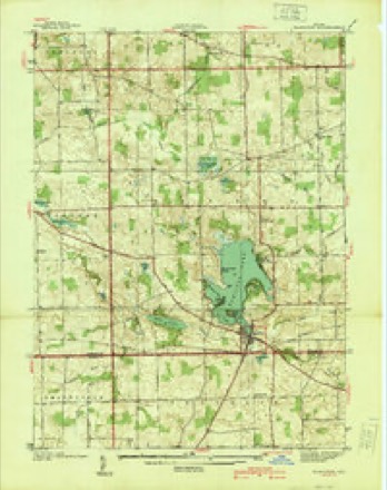
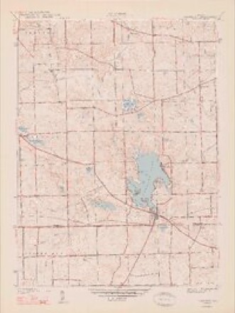
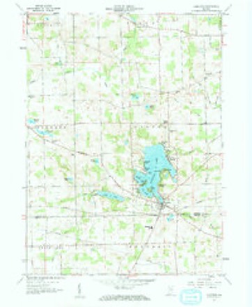
14 topographic sheets cover this place, the earliest surveyed in 1939 and the latest in 1992. It stands in Otsego Township. It lies in ZIP code area 46742. It stands on Black Creek. The Survey maps it on the Hamilton quadrangle.
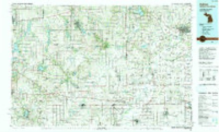
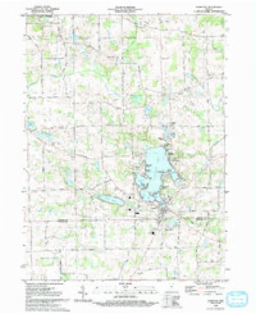
Topographic sheets covering this place
8 surveys from 14 printed sheetsMatched by testing this settlement's coordinate against the published boundary of every sheet in the United States Geological Survey's historical collection. Each opens the scanned sheet at the Survey.
- 1939 USGS Hamilton quadrangle1:24000
- 1948 USGS Hamilton quadrangle1:24000, 2 printings
- 1953 USGS Fort Wayne quadrangle1:250000, 4 printings
- 1956 USGS Fort Wayne quadrangle1:250000, 2 printings
- 1959 USGS Hamilton quadrangle1:24000, 2 printings
- 1985 USGS Adrian quadrangle1:100000
- 1990 USGS Adrian quadrangle1:100000
- 1992 USGS Hamilton quadrangle1:24000


In the county-history sources
19,675 words on this townshipHistory of Steuben County, Indiana, Together with... Biographies of Representative Citizens, published 1885 names this settlement in its chapter on Otsego Township. These are the passages that mention it, exactly as the scans read.
George II. Carpenter, son of Harlow J. and Fanny (Merry) Carpenter, was born in Erie County, Ohio, Oct. 23, 1841, and was nearly ten years of age when his parents moved to Steuben County. At the age of nineteen years he went to Dewitt County, 111., and taught two terms of school, being absent a little more than a year. Since his marriage he has lived in Montgomery, Hillsdale Co., Mich., engaged in the drug business. With these exceptions he has been identified with Steuben County since first coming here, and the most of the time has lived on the old homestead, his present residence. In 1881 he erected a building for the purpose, and became established in the general mercantile business at Otsego Center, where by his genial, courteous manners he has built up a good trade which is constantly increasing. He is also Postmaster of Oufa postoffice, appointed in 1881. He was married July 4, 1863, to Lydia Griffith, who was born in Tuscarawas County, Ohio, a daughter of John and Jemima Griffith. To them have been born five children; but three are living - Bert, Sylvia and Lena. Their eldest, Leman, died aged nine years, and their third, Harlow J., aged fourteen months. In politics Mr. Carpenter is a Democrat.
Passage source: History of Steuben County, Indiana, Together with... Biographies of Representative Citizens, published 1885.
Rarlow J. Carjpentev was born in Chittenden County, Vt., June 27, 1813. When twenty-one years of age he drove a team through to Pennsylvania for an elder brother, Joseph, and a few months later rode a horse to Erie County, Ohio. He was married in Erie County, Sept. 29, 1836, to Eanny Merry, daughter of Hosmer and Sally Merry. She was born in Milan, Ohio, Dec. 2, 1813, where her parents were pioneer sctttlers. In 1849 Mr. Carpenter became identified with Steuben County, buying and improving 120 acres of land on section 22, Otsego Township. Of his six children five were born in Ohio and one in Steuben County - Jesse H, lives in Angola; Sarah is the widow of Robert H. Humphreys; George H. lives on the old homestead; Emma died in Ohio at the age of three years; Betsey M. is the wife of Lewis Griffith; Julia is the wife of B. F. Griffith, and Carrie S. is the wife of L. W. Brown. Mr. Carpenter was an energetic, public-spirited, thrifty man; was active in the promotion of every good cause. The day he was twenty-one years old he became a member of the Methodist Episcopal church, and from the first was an intelligent, active worker in the Master's vineyard. He was for many years a local preacher and was everywhere known as Elder Carpenter, a title he worthily earned and wore. He was always ready to give religious instruction and his purse was always open to assist the poor and needy. After coming to Steuben County Mr. Carpenter officiated at 612 funerals, and it is not known how many marriages he solemnized. He was called to his reward April 30, 1883. Soon after his death the Methodist Episcopal church at Otsego Center, and to which in life he was much attached, was rededicated and named, as a tribute to honor his memory, Carpenter's Chapel. His worthy life companion survives and is living with her widowed daughter, Mrs. Sarah E. Humphreys.
Passage source: History of Steuben County, Indiana, Together with... Biographies of Representative Citizens, published 1885.
Machine-read from a century-old scan, so expect the errors a machine makes: misspelled names, dropped words, stray characters.
Fires near this place
1 since 2004Regional context, not property-specific evidence. The federal wildfire occurrence database lists 1 fire within 5 miles of Otsego Center in 2004, burning under an acre in total. None started naturally. 1 was recorded as arson. Distance is straight-line from the map coordinates, so a fire counted here may appear on a neighbouring settlement's page as well.
| Reported cause | Fires |
|---|---|
| Arson/incendiarism | 1 |
The most recent of them, most recent first, with the day each was reported and the service that recorded it.
| Date | Cause | Size | Reported by | Name on the report |
|---|---|---|---|---|
| 18 September 2004 | Arson/incendiarism | under an acre | Indiana State Fire Marshal's Office | not named |
Settlements close enough to share some of these fires:
Mines and quarries near this place
1 within 5 milesRegional context, not property-specific evidence. The federal mineral resources record lists 1 working within 5 miles of Otsego Center: 1 producer. All of them still produce. What was taken out: Sand and Gravel, Construction. Distance is straight-line from the map coordinates, so a quarry counted here may appear on a neighbouring settlement's page as well.
| Where | Site | Commodity | Status | Recorded |
|---|---|---|---|---|
| Flegal Sand and Gravel Pit | Sand and Gravel, Construction | Producer |
Nearest settlements
The eight closest, with where each one stands in the county. Distances are straight-line, computed from the Geographic Names Information System coordinates.
| Map | Place | Distance | Sheets |
|---|---|---|---|
| Ravinia Oaks | 0.7 miles | 14 | |
| Fountain Park | 0.7 miles | 14 | |
| Clarks Landing | 0.9 miles | 14 | |
| Cold Springs | 1.2 miles | 14 | |
| Russels Point | 1.5 miles | 14 | |
| Circle Park | 1.6 miles | 14 | |
| Oakwood | 1.6 miles | 14 | |
| Forest Park | 1.7 miles | 14 |
Provenance
This settlement is recorded in the Geographic Names Information System as feature 440734. The sheet list is computed by point-in-boundary test against the United States Geological Survey's historical topographic inventory. Both are works of the United States government and carry no copyright under 17 U.S.C. 105.
Wildfire. Short, Karen C. 2022. Spatial wildfire occurrence data for the United States, 1992-2020 [FPA_FOD_20221014]. 6th Edition. Fort Collins, CO: Forest Service Research Data Archive. https://doi.org/10.2737/RDS-2013-0009.6 Collected with United States Government funding and usable without additional permissions or fees.
Mines and quarries. USGS Mineral Resources Data System (MRDS) https://mrdata.usgs.gov/mrds/ A work of the United States government, no copyright under 17 U.S.C. 105.