 Block
Pleasant Valley, Indiana
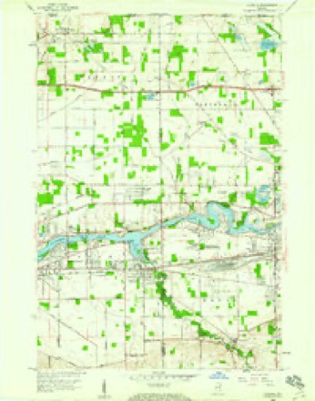
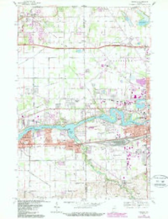
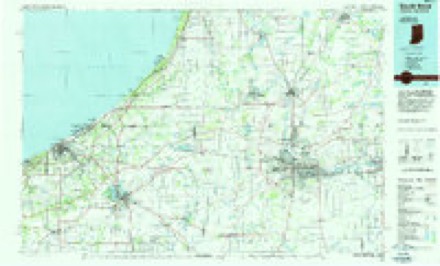
13 topographic sheets cover this place, the earliest surveyed in 1953 and the latest in 1983. It stands in Penn Township. It lies in ZIP code area 46561. The Survey maps it on the Osceola quadrangle. It stands 751 feet above sea level.
Topographic sheets covering this place
5 surveys from 13 printed sheetsMatched by testing this settlement's coordinate against the published boundary of every sheet in the United States Geological Survey's historical collection. Each opens the scanned sheet at the Survey.
- 1953 USGS Chicago quadrangle1:250000, 5 printings
- 1957 USGS Chicago quadrangle1:250000
- 1958 USGS Osceola quadrangle1:24000
- 1969 USGS Osceola quadrangle1:24000, 4 printings
- 1983 USGS South Bend quadrangle1:100000, 2 printings


What happened here
An account from the chapter on Penn township. The inset identifies its exact source book and publication year.
History Of St. Joskph County. S25
Philip Manchester, sec. 4; was l)orn in Washington county, Penn., iSej)!. 28, ISOS, and is a son of Benjamin and Agnes (Doddridge) Manchester, the former a native of Rhode Island, and the latter of Pennsylvania. Mrs. M's brothers and sisters were captured by the Indians during the troubles early in this century.
In the county-history sources
25,242 words on this townshipHistory of St. Joseph County, Indiana :, published 1880 names this settlement in its chapter on Penn Township. These are the passages that mention it, exactly as the scans read.
Messrs. Galor and Buck were elected trustees, to attend to selecting ground and erecting a house of worship. In 1S3S the society erected a small log house in which to worsiiip. Rev. Adam Miller w-as the first pastor, the}' having worshiped for some time without a minister in charge. The present house was erected in 1849, a large frame building, about it; miles south of Mishawaka. The Church grew weaker by deaths, emigration and removals to Mishawaka, until it is now extinct. It was the first Baptist CluiroU organized in the county, and now it is numbered with the things that were. Its only survivors are Jacob M. and Aznbah Galor, of Mishawaka; Parmelia Ferris, now Mrs. Moore, of Pleasant Valley; and Delinda Barton, of Kansas.
Passage source: History of St. Joseph County, Indiana :, published 1880.
Machine-read from a century-old scan, so expect the errors a machine makes: misspelled names, dropped words, stray characters.
Read the whole chapter on Penn Township - it names this place 1 more 1 time.
Fires near this place
3 since 2019Regional context, not property-specific evidence. The federal wildfire occurrence database lists 3 fires within 5 miles of Pleasant Valley in 2019, burning about 3 acres in total. None started naturally. None was recorded as arson. Distance is straight-line from the map coordinates, so a fire counted here may appear on a neighbouring settlement's page as well.
| Reported cause | Fires |
|---|---|
| Equipment and vehicle use | 3 |
The most recent of them, most recent first, with the day each was reported and the service that recorded it.
| Date | Cause | Size | Reported by | Name on the report |
|---|---|---|---|---|
| 7 April 2019 | Equipment and vehicle use | 1.0 acres | Michigan Department of Natural Resources | SEPSA FIRE AUTHORITY 178 - 2019 |
| 27 March 2019 | Equipment and vehicle use | 1.0 acres | Michigan Department of Natural Resources | SEPSA FIRE AUTHORITY 149 - 2019 |
| 23 March 2019 | Equipment and vehicle use | 1.0 acres | Michigan Department of Natural Resources | SEPSA FIRE AUTHORITY 138 - 2019 |
Settlements close enough to share some of these fires:
Mines and quarries near this place
1 within 5 milesRegional context, not property-specific evidence. The federal mineral resources record lists 1 working within 5 miles of Pleasant Valley: 1 producer. All of them still produce. What was taken out: Sand and Gravel, Construction. Distance is straight-line from the map coordinates, so a quarry counted here may appear on a neighbouring settlement's page as well.
| Where | Site | Commodity | Status | Recorded |
|---|---|---|---|---|
| Pit No. 3 | Sand and Gravel, Construction | Producer |
Nearest settlements
The eight closest, with where each one stands in the county. Distances are straight-line, computed from the Geographic Names Information System coordinates.
| Map | Place | Distance | Sheets |
|---|---|---|---|
| Osceola | 2.0 miles | 13 | |
| Granger | 4.5 miles | 14 | |
| Mishawaka | 5.0 miles | 14 | |
| Tamarack Grange | 7.6 miles | 11 | |
| Maple Lane | 7.6 miles | 14 | |
| Hi-View Addition | 8.1 miles | 11 | |
| Georgetown | 8.5 miles | 14 | |
| Indian Village | 8.6 miles | 14 |
Elsewhere
Matched on this settlement's Geographic Names Information System number rather than its name, so it cannot be a different place of the same name in another state.
| Wikipedia article on Pleasant Valley | An encyclopaedic summary. Its text is share-alike, so it is linked here rather than copied. |
| Wikidata item Q27989022 | The structured record the population and elevation above come from. Public domain (CC0). |
Provenance
This settlement is recorded in the Geographic Names Information System as feature 452738. The sheet list is computed by point-in-boundary test against the United States Geological Survey's historical topographic inventory. Both are works of the United States government and carry no copyright under 17 U.S.C. 105.
Wildfire. Short, Karen C. 2022. Spatial wildfire occurrence data for the United States, 1992-2020 [FPA_FOD_20221014]. 6th Edition. Fort Collins, CO: Forest Service Research Data Archive. https://doi.org/10.2737/RDS-2013-0009.6 Collected with United States Government funding and usable without additional permissions or fees.
Mines and quarries. USGS Mineral Resources Data System (MRDS) https://mrdata.usgs.gov/mrds/ A work of the United States government, no copyright under 17 U.S.C. 105.