 Block
Royalton, Indiana
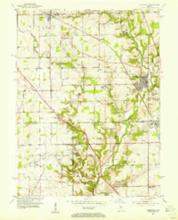
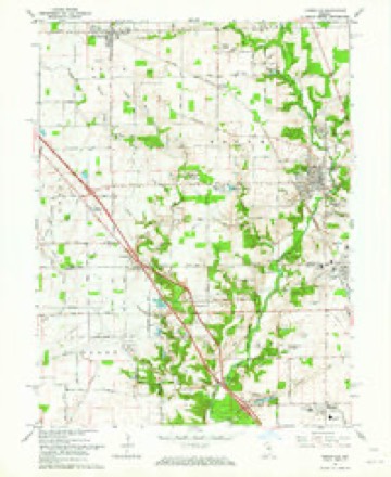
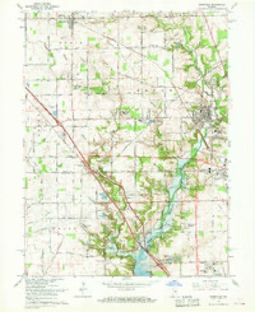
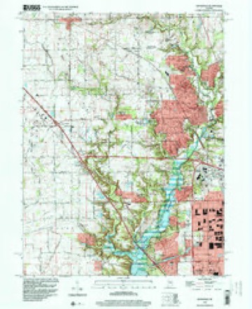
18 topographic sheets cover this place, the earliest surveyed in 1953 and the latest in 1998. It stands in Zionsville town. It lies in ZIP code area 46077. It stands on Royal Run. The Survey maps it on the Zionsville quadrangle. It stands 915 feet above sea level.
Topographic sheets covering this place
9 surveys from 18 printed sheetsMatched by testing this settlement's coordinate against the published boundary of every sheet in the United States Geological Survey's historical collection. Each opens the scanned sheet at the Survey.
- 1953 USGS Indianapolis quadrangle1:250000, 4 printings
- 1953 USGS Zionsville quadrangle1:24000
- 1956 USGS Indianapolis quadrangle1:250000
- 1957 USGS Indianapolis quadrangle1:250000, 2 printings
- 1962 USGS Indianapolis quadrangle1:250000
- 1962 USGS Zionsville quadrangle1:24000
- 1966 USGS Zionsville quadrangle1:24000, 5 printings
- 1986 USGS Indianapolis quadrangle1:100000, 2 printings
- 1998 USGS Zionsville quadrangle1:24000





In the county-history sources
37,254 words on this townshipEarly Life and Times in Boone County Indiana, published 1861 names this settlement in its chapter on Zionsville Town. These are the passages that mention it, exactly as the scans read.
The subject of this sketch was born in Wayne County, Ind., February 5, 1826; born and raised on a farm, only having the advantages of pioneer life, from which I wish to contrast the past with the present and let the present generation of children see the change. In the first place we had no school system, therefore the consequences was three months of school for summer and three months for winter, all subscription. The school buildings were made of round logs schutched off and daubed with clay mortar. One end of the building was about one-third cut into to make way for the chimney, which was made of sticks and clay; lighted by a window on each side; a slab, into which legs were put, for their seats; a broad board fastened to the wall for writing desks ; the books were no two alike, so there was as many classes as books, excepting the spelling classes, the big and little spelling as it was called. As time passed there was some improvement in the books, which made way for classing. The girls when arriving at the age of fifteen or sixteen concluded that their school days were about over, and their minds were directed in another direction, not to music or teaching school ; it was the big and little wheel, of which they spun their two hundred pounds of wool during the summer season ; and I must say that those days were the happiest days of my life. But since time has passed and the improvements that have taken place reminds me of that old adage, " When ignorance is bliss it is folly to be wise." As we had nothing better we were perfectly happy, so our days glided along until we were grown up. In the year 1844, on the 1st day of December, I was married to Henry M. Marvin, and on the morning of my nineteeth birthday we bade adieu to the parental roof and started out in the world to try the realities of life. We came to this place, where I have lived ever since, with the exception of two years. I have lived in the same door-yard for forty-two years, protected and guarded by our Heavenly Father, who knoweth all things and what is for our good, "and finding we have realized the trials of our ups and downs. Up to the present time our family consists of nine children, only four living, the other five having gone to try the realities of another world.
Passage source: Early Life and Times in Boone County Indiana, published 1861.
Thirty years ago it was not then known that sufficient gravel could be found here to construct a system of gravel roads in the county. In 1864 a company was organized to construct a gravel highway from Thorntown to Darlington, to connect and extend to Crawfordsville. This was the first gravel road enterprise in the county. It and the Rosston gravel road, on the old Michigan road, are the only toll collecting highways in the county. In the year 1867 the Lebanon and Royalton and the Lebanon and Sugar Creek Gravel Road companies were organized. At first these two roads were toll collecting, but in the year 1884 were bought by the tax-payers living along them and turned over to the county. as a part of the free gravel road system. Under the legislative act of 1877, petitions for free gravel roads were filed before the board of commissioners, at a called session held August 6, 1879. The first road ordered constructed under this act was the Lebanon and New Brunswick, followed in quick succession by the Lebanon and Dover, Middle Jamestown, Lebanon and Noblesville, Thorntown and Bethel, Kirk's Mill and Sharon, Kirk's Mill south to Crawfordsville road, Lebanon and Thorntown, east end Noblesville, Elizaville, éleven roads, which exhausted the limit allowed by law, the limit being one per centum of taxables of the county. "In the construction of these roads gravel was found in sufficient quantities to build and maintain them with only one exception. The roads constructed were highly satisfactory. The contractors on the Lebanon and Elizaville found materials of the poorest and in smallest quantities. Bad as it was when completed, it is now by careful management as good as the best. Gravel road building was started anew by the bond limit being increased from one to one aud a half percentum and the Thorntorn and Sharon and Whitestown's two roads, and Zionsville's two, the Lebanon and Fayette, Dover and Shannondale, Lebanon and Ladoga, Lebanon and Slabtown and Thorntown, Hazelrigg and Lebanon roads were ordered constructed. At this time twentyfour free gravel roads have been built, aggregating 181 miles, costing $189,100. The first issue of bonds for this public improvement was redeemed by the treasurer in February, 1886, and from his report he has ample means to redeem all that become due during the present and ensuing years. It will be seen that where gravel was considered so scarce, with many other seeming obstacles in the way, our roads have cost on an average of $1,181 per mile. Much of this can be attributed to the good management of our county board. Once constructed, the keeping of so many miles of road in proper repair has been no small task. These roads are managed by the county commissioners as a board of free turnpike directors. They first organized as such July 15, 1881, being Nathan Perrill, William Curry and James Coombs, with Charles L. Wheeler asclerk. This board meets quarterly. Hach commissioner has especial charge of all free pikes in his district, and each road has its superintendent of repairs. Once each year these superintendents meet with the turnpike board and receive orders for repairs for the year. The present board of directors are W. C. Crump, Ben. C. Booher and Jacob S. Miller. The expenditures on account of repairs to the several roads in the county, to the present time aggregates $46,824.71, which includes the re-building of the Lebanon and Royalton and Lebanon and Sugar Creek roads. Including the extensive repairs to the roads last named, our roads cost us near $60 per mile each year.
Passage source: Early Life and Times in Boone County Indiana, published 1861.
postmaster, and carried the mail in his hat, consequently. the office was not always in the same place. Abner H. Shepherd came to Lebanon in 1836, and the following year, at the age of fourteen years, carried the mail from Indianapolis to Lafayette, by the way of Piketown, Royalton, Lebanon, Thorntown, Frankfort, Jefferson, Prairieville, Huntsville and Dayton. He rode on horseback through the wilderness and mud, with nothing to guide him but the blazed road where the trees were chipped on one side to show the way to go. Mr. Zion was the contractor on this route. James Richey, the father of J. E Richey, was the first tailor in the town, and for several years cut and made the garments of our earlier inhabitants. John Peterson erected his cabin on the ground where Brown's opera house now stands and engaged in the tavern business. William Smith, familiarly known as " Uncle Billy," had a cabin where the Rose House now is. He was a "tavern keeper," too, but carried his more extensively by selling liquor. It was no uncommon thing to see hunters, with their dogs and guns, come in on Sabbath day and go in and get a drink. But Iam glad to say he afterwards joined the M. E. Church and lived a christian life. One of the miracles of his conversion was that he could neither read nor write until "wisdom from on high " taught him, and he soon learned to read the bible and had a good understanding of the same. David Hoover was the first clerk of the court, and was also recorder, holding both offices at the same time, and was not always kept employed. He was not troubled with parties running after him for deputyships. John Forsythe was selling dry goods on the lot known as " Zion's Corner," south of the square, and in 1855 William Zion bought him out, and continued in business until 1862. 'The first court house stood north of the square, court being held twice a year, lasting three days. Jacob Tipton, of Jamestown, was the first elected sheriff of the county, and was succeeded by William Zion, who held the office four years. I sometimes acted as turnkey, and one night at the late hour of
Passage source: Early Life and Times in Boone County Indiana, published 1861.
Machine-read from a century-old scan, so expect the errors a machine makes: misspelled names, dropped words, stray characters.
Read the whole chapter on Zionsville Town - it names this place 3 more 3 times.
Mines and quarries near this place
1 within 5 milesRegional context, not property-specific evidence. The federal mineral resources record lists 1 working within 5 miles of Royalton: 1 past producer. None of them still produces. What was taken out: Sand and Gravel, Construction. Distance is straight-line from the map coordinates, so a quarry counted here may appear on a neighbouring settlement's page as well.
| Where | Site | Commodity | Status | Recorded |
|---|---|---|---|---|
| Allied Aggregates Pit | Sand and Gravel, Construction | Past Producer |
Storms near this place
2 since 2014Regional context, not property-specific evidence. The National Weather Service names Royalton in 2 storm reports between 2014 and 2016: 1 flood, 1 tornado. No death or injury is recorded in these reports. Each account below is quoted exactly as the forecast office filed it, from the NOAA Storm Events Database, and each date opens the federal record of that event.
| When | Event | Place named | Harm | What the report says |
|---|---|---|---|---|
| August 2016 | Tornado (EF2) | Royalton | $25,000 | An EF-2 tornado, with peak winds estimated at 115 mph, destroyed a pole barn. A grain bin and farm equipment were also damaged. Tree trunks were snapped, limbs were downed, and some corn was flattened along the tornado's path. This tornado occurred between Whitestown and Zionsville. |
| April 2014 | Flood | Royalton | $500 | Hook Creek flooded over Wilson Road due to heavy thunderstorm rainfall. |
Nearest settlements
The eight closest, with where each one stands in the county. Distances are straight-line, computed from the Geographic Names Information System coordinates.
| Map | Place | Distance | Sheets |
|---|---|---|---|
| Stonegate | 1.9 miles | 18 | |
| Eaglewood Estates | 2.2 miles | 18 | |
| Russell Lake | 2.5 miles | 18 | |
| The Woodlands | 2.5 miles | 18 | |
| Fox Hollow | 3.1 miles | 18 | |
| Fayette | 3.1 miles | 12 | |
| Zionsville | 4.4 miles | 18 | |
| Whitestown | 4.9 miles | 18 |
Elsewhere
Matched on this settlement's Geographic Names Information System number rather than its name, so it cannot be a different place of the same name in another state.
| Wikipedia article on Royalton | An encyclopaedic summary. Its text is share-alike, so it is linked here rather than copied. |
| Wikidata item Q7375118 | The structured record the population and elevation above come from. Public domain (CC0). |
Provenance
This settlement is recorded in the Geographic Names Information System as feature 442375. The sheet list is computed by point-in-boundary test against the United States Geological Survey's historical topographic inventory. Both are works of the United States government and carry no copyright under 17 U.S.C. 105.
Mines and quarries. USGS Mineral Resources Data System (MRDS) https://mrdata.usgs.gov/mrds/ A work of the United States government, no copyright under 17 U.S.C. 105.
Storms. NOAA National Centers for Environmental Information, Storm Events Database https://www.ncei.noaa.gov/stormevents/ A work of the United States government, no copyright under 17 U.S.C. 105. Narratives are quoted verbatim from the National Weather Service report and are not edited or summarised.