 Block
Saltillo, Indiana
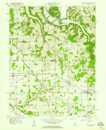
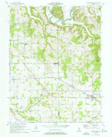
13 topographic sheets cover this place, the earliest surveyed in 1956 and the latest in 1990. It stands in Brown Township. It lies in ZIP code area 47108. The Survey maps it on the Campbellsburg quadrangle.
Topographic sheets covering this place
7 surveys from 13 printed sheetsMatched by testing this settlement's coordinate against the published boundary of every sheet in the United States Geological Survey's historical collection. Each opens the scanned sheet at the Survey.
- 1956 USGS Vincennes quadrangle1:250000, 4 printings
- 1957 USGS Campbellsburg quadrangle1:24000, 2 printings
- 1957 USGS Vincennes quadrangle1:250000
- 1958 USGS Vincennes quadrangle1:250000, 2 printings
- 1970 USGS Campbellsburg quadrangle1:24000, 2 printings
- 1986 USGS Bedford quadrangle1:100000
- 1990 USGS Bedford quadrangle1:100000



What happened here
An account from the chapter on Brown township. The inset identifies its exact source book and publication year.
A Noted Hunter
In early times there were many good hunters in the township, but Isaac Hammersley was concefled to be the best marksman. In the township are many caves and most all of them were bear dens. Some l>ear wallows are still to l)e seen in these caves, though the animals were all killed almost a century ago. "Old Ike" possessed a trusty flint-lock rifle and little else except two good cur dogs that were his constant companions.
In the county-history sources
2,528 words on this townshipThe county-history sources names this settlement in its chapter on Brown Township. These are the passages that mention it, exactly as the scans read.
Machine-read from a century-old scan, so expect the errors a machine makes: misspelled names, dropped words, stray characters.
Read the whole chapter on Brown Township - it names this place 1 more 1 time.
Storms near this place
4 since 2006Regional context, not property-specific evidence. The National Weather Service names Saltillo in 4 storm reports between 2006 and 2025: 2 thunderstorm wind, 2 tornado. No death or injury is recorded in these reports. Each account below is quoted exactly as the forecast office filed it, from the NOAA Storm Events Database, and each date opens the federal record of that event.
| When | Event | Place named | Harm | What the report says |
|---|---|---|---|---|
| March 2017 | Tornado (EF1) | Saltillo | $150,000 | A NWS storm survey, in conjunction with Washington County Emergency Management concluded that the tornado touched down and was embedded in a larger field of straight-line winds. The path length was 5.8 miles with a max width of 100 yards for the tornado, however the overall straight-line wind path width was close to a mile wide in spots. The most intense tornado damage happened shortly after touchdown, where over 50 healthy hardwood trees had snapped trunks with no foliage. In addition, an outbuilding lost part of a roof, and debris struck a residence causing cracked masonry and dented drywall on the inside of the structure. Maximum wind speeds of 100 mph were estimated in this area. The tornado continued eastward where more homes experienced minor roof damage, trees were uprooted, and a large outbuilding was nearly destroyed. After crossing Cave River Valley Rd and White River Rd, the tornado took out nearly 50 softwood trees. Farther east, over 100 hardwood and softwood trees were uprooted and snapped, and notable convergence was observed. After driving a 4X6 post through the roof of a home near Hunter Rd, the tornado continued east to Prowsville Ridge Rd, where an uptick to 90-95 mph intensity was noted. Another stand of nearly 50 hardwood trees were uprooted and snapped, along with significant damage to a porch and roof of a home. Tornadic damage ceased east of Cox Ferry Rd, however some instances of straight-line winds were noted all the way to Delaney Park Rd. It was also noted that straight-line winds were surveyed south of the tornado damage path, from Saltillo eastward to West Washington School Rd. Eyewitness accounts put this damage at slightly earlier times than when the tornado damage occurred. The straight-line wind damage ranged from 60-80 mph. |
| April 2006 | Thunderstorm Wind | Saltillo | $20,000 | Unspecified structural damage was reported, along with trees and power lines downed. |
| March 2025 | Thunderstorm Wind | Saltillo | - | Live power lines were down on the 6400 block of Marshall Road, north of Saltillo. |
| May 2011 | Tornado (EF1) | Saltillo | - | This is the final stretch of the tornado that originated in Orange County, 3.1 miles northwest of Saltillo. After clipping the extreme southeast portion of Lawrence County, it entered Washington County just south of East County Road 700 North and tracked northeastward for another 1.2 miles before dissipating at Spangler Hill Road. It caused EF-1 damage to numerous trees before lifting. The tornado's total path length was 3.2 miles. |
Nearest settlements
The eight closest, with where each one stands in the county. Distances are straight-line, computed from the Geographic Names Information System coordinates.
| Map | Place | Distance | Sheets |
|---|---|---|---|
| Campbellsburg | 1.8 miles | 13 | |
| Claysville | 2.9 miles | 11 | |
| Mount Carmel | 4.2 miles | 15 | |
| Smedley | 4.5 miles | 15 | |
| Prowsville | 4.8 miles | 15 | |
| Brimstone Corners | 5.2 miles | 13 | |
| Fairview | 5.2 miles | 13 | |
| Hitchcock | 6.6 miles | 15 |
Provenance
This settlement is recorded in the Geographic Names Information System as feature 449728. The sheet list is computed by point-in-boundary test against the United States Geological Survey's historical topographic inventory. Both are works of the United States government and carry no copyright under 17 U.S.C. 105.
Storms. NOAA National Centers for Environmental Information, Storm Events Database https://www.ncei.noaa.gov/stormevents/ A work of the United States government, no copyright under 17 U.S.C. 105. Narratives are quoted verbatim from the National Weather Service report and are not edited or summarised.