 Block
Shedville, Indiana
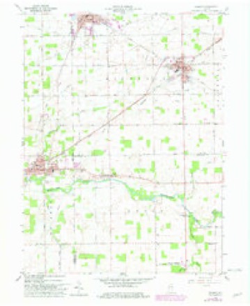
11 topographic sheets cover this place, the earliest surveyed in 1953 and the latest in 1986. It stands in Green Township. It lies in ZIP code area 47380. It stands on Tough Run. The Survey maps it on the Redkey quadrangle.
Topographic sheets covering this place
4 surveys from 11 printed sheetsMatched by testing this settlement's coordinate against the published boundary of every sheet in the United States Geological Survey's historical collection. Each opens the scanned sheet at the Survey.
- 1953 USGS Muncie quadrangle1:250000, 5 printings
- 1956 USGS Muncie quadrangle1:250000
- 1960 USGS Redkey quadrangle1:24000, 2 printings
- 1986 USGS Muncie quadrangle1:100000, 3 printings



In the county-history sources
14,412 words on this townshipHistory of Randolph County, Indiana with Illustrations and Biographical Sketches of Some of Its Prominent Men and Pioneers : to Which Are Appended Maps of Its Several Townships, published 1882 names this settlement in its chapter on Green Township. These are the passages that mention it, exactly as the scans read.
NhcdriUc Hamkt. - Not incorporated; located on Sections 18 and ly. Town 21, Range 13; begun about 1880. It stands not on any stream, uor railroad, nor thoroughfare, nor pike, nor canal, but just right whore it is close by a saw-mill. It is a little jilace, lately in the woods, has a store, a sawmill, a smith shop and a wagon (repair) shop, and the enterprising denizens of the place have secured a mail route through the vicinity and a post i office at their ambitious little hamlet. The store is owned by \ Alonzo Brinkley and the saw-mill by Miranda & Barger. I There is something peculiar about this town (by courtesy and name, though not incorporated nor even platted). There is not I a dwelling in it and but three buildings, one of which is the sawi mill, a rough structure, made of posts, and a lumber roof. The j business men of tho place are all bachelors, and have to board j out of town, though only two dwelling-houses are in sight. In ] some countries, and at sometimes, this humble beginning of j things'might bo the starting point to future greatness. How it i will be for Shedville during tho ages that are to come, this asj i)iring little hamlet just budding into life among the older and I more pretentious towns of old Randolph, forty years hence may perhaps roveal to tlioso who may at that timo b(;> inhabitants of this region and to the dwellers in this county, in that distant era; and to the historian of that coming time, we trustfully commit the now latent possibilities and the yet unrevoaled history of that rising city. ' SteubeiwUle. -Isr-del Wirt, Jonathan Green, proprietors. Lo-
Passage source: History of Randolph County, Indiana with Illustrations and Biographical Sketches of Some of Its Prominent Men and Pioneers : to Which Are Appended Maps of Its Several Townships, published 1882.
Machine-read from a century-old scan, so expect the errors a machine makes: misspelled names, dropped words, stray characters.
Read the whole chapter on Green Township - it names this place 1 more 1 time.
Mines and quarries near this place
1 within 5 milesRegional context, not property-specific evidence. The federal mineral resources record lists 1 working within 5 miles of Shedville: 1 producer. All of them still produce. What was taken out: Stone, Crushed/Broken. Distance is straight-line from the map coordinates, so a quarry counted here may appear on a neighbouring settlement's page as well.
| Where | Site | Commodity | Status | Recorded |
|---|---|---|---|---|
| Fairview-Meshberger Bros. Ston | Stone, Crushed/Broken | Producer |
Nearest settlements
The eight closest, with where each one stands in the county. Distances are straight-line, computed from the Geographic Names Information System coordinates.
| Map | Place | Distance | Sheets |
|---|---|---|---|
| Fairview | 4.2 miles | 11 | |
| Mull | 5.0 miles | 13 | |
| Farmland | 5.4 miles | 11 | |
| Ridgeville | 5.5 miles | 12 | |
| Georgetown | 6.5 miles | 11 | |
| Maxville | 6.6 miles | 13 | |
| Parker City | 6.6 miles | 11 | |
| Stone | 6.9 miles | 13 |
Provenance
This settlement is recorded in the Geographic Names Information System as feature 443328. The sheet list is computed by point-in-boundary test against the United States Geological Survey's historical topographic inventory. Both are works of the United States government and carry no copyright under 17 U.S.C. 105.
Mines and quarries. USGS Mineral Resources Data System (MRDS) https://mrdata.usgs.gov/mrds/ A work of the United States government, no copyright under 17 U.S.C. 105.