 Block
Stone, Indiana
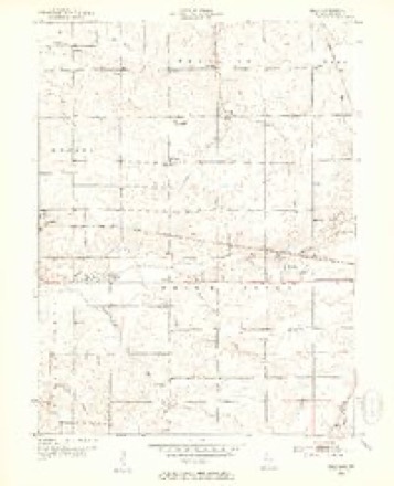
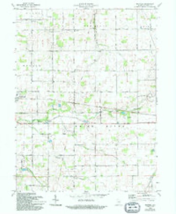
13 topographic sheets cover this place, the earliest surveyed in 1952 and the latest in 1986. It stands in Ward Township. It lies in ZIP code area 47380. The Survey maps it on the Maxville quadrangle.
Topographic sheets covering this place
5 surveys from 13 printed sheetsMatched by testing this settlement's coordinate against the published boundary of every sheet in the United States Geological Survey's historical collection. Each opens the scanned sheet at the Survey.
- 1952 USGS Maxville quadrangle1:24000, 2 printings
- 1953 USGS Muncie quadrangle1:250000, 5 printings
- 1956 USGS Muncie quadrangle1:250000
- 1969 USGS Maxville quadrangle1:24000, 2 printings
- 1986 USGS Muncie quadrangle1:100000, 3 printings



In the county-history sources
10,585 words on this townshipHistory of Randolph County, Indiana with Illustrations and Biographical Sketches of Some of Its Prominent Men and Pioneers : to Which Are Appended Maps of Its Several Townships, published 1882 names this settlement in its chapter on Ward Township. These are the passages that mention it, exactly as the scans read.
One principal p'ke, theone extending north toward Portland, has been in existence for several years, and it ia of pricelesB value to those low and level regions, erewhilo wellnigh impassable. The smooth and gravelly surface, the solid highway, is widely in contrast to the " corduroy " that used to stretch its rough and weary length for miles and miles at intervals toward the northeJ'u regions - northward, constantly northward, further and still farther, across swamps, through jungles, over creeks and rivers, through bottomless morasses, into the gloomy, overshadowing forests, those rude paths, those primitive roads - they i could not be called highways - would unroll their endless extent. | And now those awful " corduroys. " which used to jerk and shake and pound and rutilo, with their endless " jwunce " and " bounce," by sunlight and starlight, in rain or in shine, come winter come summer, do that fearful work no more forever! I V Other pikes also are in process of construction - one east and west through Stone Station, through Saratoga east and west, and perhaps others still.
Passage source: History of Randolph County, Indiana with Illustrations and Biographical Sketches of Some of Its Prominent Men and Pioneers : to Which Are Appended Maps of Its Several Townships, published 1882.
Henry Kizer was born in Botetourt County, Va., in 1776; came to Ross County, Ohio, and then to Randolph County, tnd., in 1S21. He had entered land in 1820, east of Stone Station, in Ward Tdwnship. The log house which he built not long after coming to the county is standing yet His wife was born in 1770, being six vears older than her husband. He died August 12, 1823, and his wife died the next day, August 13, 1823, both in middle life. They wore earnest Methodists. Thomas W. Kizer, in speaking of his grandmother, when looking at the old family Bible, feelingly remarked: "There is not a word in this old Book that Grandmother has not read over and over." They had fom- childi-en, all sons-Elias, Henry, Adam, William. Mr. and Mrs. K. are buried near Stone Station, in a private graveyard. !
Passage source: History of Randolph County, Indiana with Illustrations and Biographical Sketches of Some of Its Prominent Men and Pioneers : to Which Are Appended Maps of Its Several Townships, published 1882.
Temple Smith was born in 1800, in Adair County, Ky.; went to Highland County, Ohio, in 1811, and came to Randolph County, Ind., in 1819. He hiis resided thirty-six years west of Bloomingsport - sis years at Bitena Vista, two years at Farmland, and fifteen years east of Stone Station, Ward Township. He married Priscilla Crossley in 1827 (born in 1809). They have had twelve children; six died in childhood and youth, and six have beou married, and they have had thirty -seven grandchildren; three of the sons died of diphtheria, at the ages of nine, eighteen and twenty respectively. His wife died in January, 1882.
Passage source: History of Randolph County, Indiana with Illustrations and Biographical Sketches of Some of Its Prominent Men and Pioneers : to Which Are Appended Maps of Its Several Townships, published 1882.
Machine-read from a century-old scan, so expect the errors a machine makes: misspelled names, dropped words, stray characters.
Read the whole chapter on Ward Township - it names this place 2 more 2 times.
Mines and quarries near this place
2 within 5 milesRegional context, not property-specific evidence. The federal mineral resources record lists 2 workings within 5 miles of Stone: 1 past producer, 1 producer. 1 still produces. What was taken out: Stone, Crushed/Broken. Distance is straight-line from the map coordinates, so a quarry counted here may appear on a neighbouring settlement's page as well.
| Where | Site | Commodity | Status | Recorded |
|---|---|---|---|---|
| H&R Stone Corp Limestone Quarry | Stone, Crushed/Broken | Past Producer | ||
| Ridgeville, Meshberger Bros. S | Stone, Crushed/Broken | Producer |
Storms near this place
3 since 2012Regional context, not property-specific evidence. The National Weather Service names Stone in 3 storm reports between 2012 and 2025: 1 hail, 1 tornado, 1 thunderstorm wind. No death or injury is recorded in these reports. Each account below is quoted exactly as the forecast office filed it, from the NOAA Storm Events Database, and each date opens the federal record of that event.
| When | Event | Place named | Harm | What the report says |
|---|---|---|---|---|
| August 2022 | Tornado (EF0) | Stone | $15,000 | A brief tornado touched down about one mile south-southeast of Stone, at the homestead immediately west-northwest of the intersection of county roads West 400 North and North 100 West. This landspout damaged the roof and metal encasing structure of an old outbuilding. Parts of the roof were thrown downwind, with a few 2x4 beams scattered between the building and thrown roof. Eyewitnesses reported the landspout lifted and then dropped in open fields for a few minutes, with no further damage noted, while tracking to the east-northeast. |
| April 2025 | Thunderstorm Wind | Stone | $10,000 | A semi was overturned by thunderstorm wind gusts. |
| May 2012 | Hail | Stone | - | no account filed |
Nearest settlements
The eight closest, with where each one stands in the county. Distances are straight-line, computed from the Geographic Names Information System coordinates.
| Map | Place | Distance | Sheets |
|---|---|---|---|
| Randolph | 2.5 miles | 14 | |
| Deerfield | 3.3 miles | 14 | |
| Ridgeville | 3.8 miles | 12 | |
| Mull | 4.2 miles | 13 | |
| Saratoga | 4.6 miles | 18 | |
| Winchester | 4.6 miles | 18 | |
| Shedville | 6.9 miles | 11 | |
| Maxville | 7.0 miles | 13 |
Provenance
This settlement is recorded in the Geographic Names Information System as feature 444195. The sheet list is computed by point-in-boundary test against the United States Geological Survey's historical topographic inventory. Both are works of the United States government and carry no copyright under 17 U.S.C. 105.
Mines and quarries. USGS Mineral Resources Data System (MRDS) https://mrdata.usgs.gov/mrds/ A work of the United States government, no copyright under 17 U.S.C. 105.
Storms. NOAA National Centers for Environmental Information, Storm Events Database https://www.ncei.noaa.gov/stormevents/ A work of the United States government, no copyright under 17 U.S.C. 105. Narratives are quoted verbatim from the National Weather Service report and are not edited or summarised.