 Block
Tilden, Indiana
15 topographic sheets cover this place, the earliest surveyed in 1953 and the latest in 1986. It stands in Middle Township. It lies in ZIP code area 46122. It stands on West Fork White Lick Creek. The Survey maps it on the Brownsburg quadrangle. It stands 902 feet above sea level.
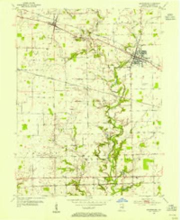
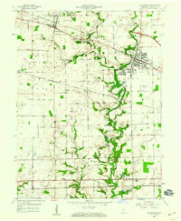
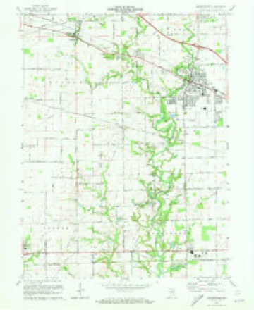
Topographic sheets covering this place
8 surveys from 15 printed sheetsMatched by testing this settlement's coordinate against the published boundary of every sheet in the United States Geological Survey's historical collection. Each opens the scanned sheet at the Survey.
- 1953 USGS Brownsburg quadrangle1:24000
- 1953 USGS Indianapolis quadrangle1:250000, 4 printings
- 1956 USGS Indianapolis quadrangle1:250000
- 1957 USGS Indianapolis quadrangle1:250000, 2 printings
- 1959 USGS Brownsburg quadrangle1:24000
- 1962 USGS Indianapolis quadrangle1:250000
- 1970 USGS Brownsburg quadrangle1:24000, 3 printings
- 1986 USGS Indianapolis quadrangle1:100000, 2 printings





In the county-history sources
7,065 words on this townshipHistory of Hendricks County, Indiana, Together with Sketches of Its Cities, Villages and Towns, Educational, Religious, Civil, Military, and Political History, Portraits of Prominent Persons, and Biographies of Representative Citizens, published 1885; History of Hendricks County, Indiana, Her People, Industries and Institutions, published 1914 has no passage naming this settlement, which was common for smaller places. Its township is covered in full.
The chapter on Middle Township covers the township.
Read the chapter on Middle Township - 7,065 words.
Storms near this place
9 since 2008Regional context, not property-specific evidence. The National Weather Service names Tilden in 9 storm reports between 2008 and 2025: 4 thunderstorm wind, 2 flood, 2 hail, 1 flash flood. The reports record 1 death and 3 injuries. Each account below is quoted exactly as the forecast office filed it, from the NOAA Storm Events Database, and each date opens the federal record of that event.
| When | Event | Place named | Harm | What the report says |
|---|---|---|---|---|
| July 2020 | Thunderstorm Wind | Tilden | 1 killed, 3 hurt, $50,000 | A partially constructed building collapsed due to non-severe thunderstorm wind gusts associated with a gust front ahead of an approaching line of thunderstorms. At the time, only the wooden framing was in place which allowed for the collapse to occur more easily when the wind gusts arrived. No other damage was noted in the immediate area and only very small limbs (inch or less in diameter) were down in the area indicating wind gusts were less than 50 knots. 3 people that were working on the building at the time were injured with a fatality also occurring at the location where the wood frame collapsed. |
| April 2025 | Thunderstorm Wind | Tilden | $10,000 | Numerous trees damaged or snapped by thunderstorm wind gusts near and in the town of Brownsburg. |
| June 2010 | Flash Flood | Tilden | $5,000 | A privately owned earthen dam was breached at Indianhead Lake as a result of very heavy rainfall runoff. About 40 homes and 16 mobile homes were evacuated, but by afternoon most of the residents were allowed to return. Officials decided to drain the 4-acre lake behind the Indianhead dam as a result of the damage and in case additional rainfall/runoff occurred that might produce further damage and downstream flooding. Damage estimates are greatly estimated. Floodwaters topped nearby Jeto Lake's dam but it held. |
| February 2008 | Flood | Tilden | $5,000 | Flooding has occurred across portions of Hendricks County, including in the Avon area, due to heavy rain. |
| July 2016 | Thunderstorm Wind | Tilden | $1,500 | Utility lines were downed on County Road 550 East, south of Highway 136, due to damaging thunderstorm wind gusts. This report was relayed from the Hendricks County Dispatch. |
| June 2011 | Thunderstorm Wind | Tilden | $500 | Tree limbs, 4 to 5 inches in diameter, were downed due to damaging thunderstorm wind gusts. |
| February 2009 | Flood | Tilden | - | White Lick Creek was out of its banks due to heavy rainfall. |
| May 2025 | Hail | Tilden | - | no account filed |
| September 2012 | Hail | Tilden | - | no account filed |
Nearest settlements
The eight closest, with where each one stands in the county. Distances are straight-line, computed from the Geographic Names Information System coordinates.
| Map | Place | Distance | Sheets |
|---|---|---|---|
| Brownsburg | 2.7 miles | 15 | |
| Pittsboro | 3.3 miles | 15 | |
| Maplewood | 3.6 miles | 12 | |
| Gale | 4.1 miles | 15 | |
| Avon | 4.5 miles | 15 | |
| Clermont Heights | 5.0 miles | 16 | |
| Wynbrooke | 5.4 miles | 16 | |
| Raintown | 5.4 miles | 13 |
Elsewhere
Matched on this settlement's Geographic Names Information System number rather than its name, so it cannot be a different place of the same name in another state.
| Wikipedia article on Tilden | An encyclopaedic summary. Its text is share-alike, so it is linked here rather than copied. |
| Wikidata item Q7802085 | The structured record the population and elevation above come from. Public domain (CC0). |
Provenance
This settlement is recorded in the Geographic Names Information System as feature 444756. The sheet list is computed by point-in-boundary test against the United States Geological Survey's historical topographic inventory. Both are works of the United States government and carry no copyright under 17 U.S.C. 105.
Storms. NOAA National Centers for Environmental Information, Storm Events Database https://www.ncei.noaa.gov/stormevents/ A work of the United States government, no copyright under 17 U.S.C. 105. Narratives are quoted verbatim from the National Weather Service report and are not edited or summarised.