 Block
Union City, Indiana
19 topographic sheets cover this place, the earliest surveyed in 1916 and the latest in 1986. It stands in Wayne Township. It lies in ZIP code area 47390. It stands on City Drain. The Survey maps it on the Union City quadrangle. 3,454 people lived here at the 2020 count. It stands 1,125 feet above sea level.
On record in Union City
Buildings and businesses the archive holds for this place. Each opens its own page, with the source record it came from.
On the National Register 6 records
 William Kerr Houselisted 1987
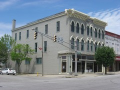 Raphael Kirshbaum Buildinglisted 1990
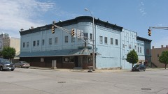 Union City Commercial Historic Districtlisted 1999
 Union City Passenger Depotlisted 1983
 Union City Public Librarylisted 2004
 Union City Schoollisted 2010
Population over time
2 figuresUnion City fell from 3,584 to 3,454 between 2010 and 2020. These are the recorded population figures Wikidata holds for this place, reached through the Geographic Names Information System number this page is keyed on rather than by name, so they belong to this place and not to another of the same name. Most are census counts, but not all are: an early figure may be a founding or settlement estimate, and an estimate published within five years of a census is left out. The change column is computed, and is left blank where more than 20 years separate a figure from the one before it, because a gap that long is not a change between two counts.
| Year | People | Change |
|---|---|---|
| 2010 | 3,584 | |
| 2020 | 3,454 | -130 (-4%) |
Topographic sheets covering this place
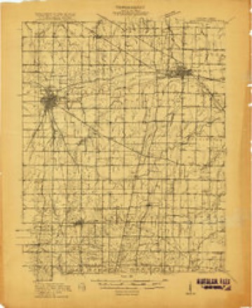
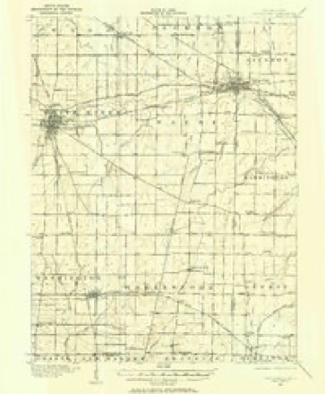
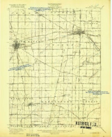
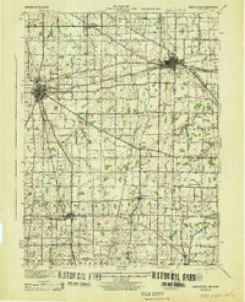
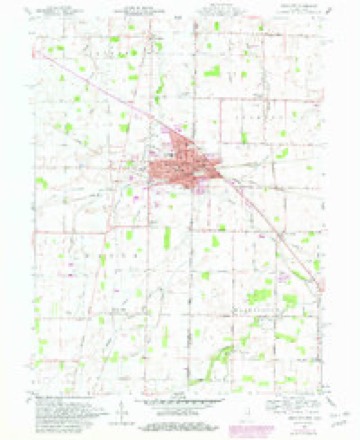
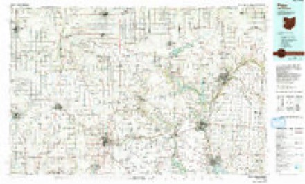
8 surveys from 19 printed sheetsMatched by testing this settlement's coordinate against the published boundary of every sheet in the United States Geological Survey's historical collection. Each opens the scanned sheet at the Survey.
- 1916 USGS Winchester quadrangle1:48000
- 1916 USGS Winchester quadrangle1:62500, 2 printings
- 1918 USGS Winchester quadrangle1:62500, 2 printings
- 1943 USGS Winchester quadrangle1:62500
- 1953 USGS Muncie quadrangle1:250000, 5 printings
- 1956 USGS Muncie quadrangle1:250000
- 1960 USGS Union City quadrangle1:24000, 4 printings
- 1986 USGS Piqua quadrangle1:100000, 3 printings


In the county-history sources
43,559 words on this townshipHistory of Randolph County, Indiana with Illustrations and Biographical Sketches of Some of Its Prominent Men and Pioneers : to Which Are Appended Maps of Its Several Townships, published 1882 names this settlement in its chapter on Wayne Township. These are the passages that mention it, exactly as the scans read.
Hartman, Wayne Township. :ame with his father to Ran- Huckeye Seminary U. L. Institute, at B taught school before he was seventeen, and has tjvught twenty-four winters. He married Sarah Ann Williamson in 18."iH, and they have had eight children. He is a prosperous and aiiccesaful farmer, taking delight in caring for all his afthirs in a neat and thorough manner. Though con-idered alightly eccentric by some, and Ipoing withal a man independent in opinion, he is a most energetic supporter of all good things. In politics, he
Passage source: History of Randolph County, Indiana with Illustrations and Biographical Sketches of Some of Its Prominent Men and Pioneers : to Which Are Appended Maps of Its Several Townships, published 1882.
SOLOMON HARTMAN is the son of Johi He was born in Darke County, Ohio, in 1855; dolph County, Ind., in 1848; attende " " ' Gettysburg. P " ' ' ' ' erelong, to see the world "turned upside down," or, as he would say, turned " right side up," and hopes to witness the ushering in of the new era, when everybody shall have all the money he wishes, and more, too, and when that blessed lime shall come may we all be there to see and to receive, moreover, each one his full and abundant share. Mr. H. resides near his father's old farm about five miles southwest of Onion City and a little north of Greenville Creek. Mr. H. is a thoroughly enterprising and greatly public-spirited citizen, entering heartily into every movement for the advancement of the public welfare.
Passage source: History of Randolph County, Indiana with Illustrations and Biographical Sketches of Some of Its Prominent Men and Pioneers : to Which Are Appended Maps of Its Several Townships, published 1882.
PETER HOOVER, Su., born in Virginia; came to Randolph County, Ind., in the spring of 1834 ; had eight children, seven now living He died many years ago, as also his wife. She belonged to the Presbyterian Church. He was a Democrat.
Passage source: History of Randolph County, Indiana with Illustrations and Biographical Sketches of Some of Its Prominent Men and Pioneers : to Which Are Appended Maps of Its Several Townships, published 1882.
Machine-read from a century-old scan, so expect the errors a machine makes: misspelled names, dropped words, stray characters.
Read the whole chapter on Wayne Township - it names this place 106 more 106 times.
Storms near this place
13 since 1995Regional context, not property-specific evidence. The National Weather Service names Union City in 13 storm reports between 1995 and 2026: 9 thunderstorm wind, 1 tornado, 1 lightning, 1 hail. No death or injury is recorded in these reports. Each account below is quoted exactly as the forecast office filed it, from the NOAA Storm Events Database, and each date opens the federal record of that event.
| When | Event | Place named | Harm | What the report says |
|---|---|---|---|---|
| March 2026 | Thunderstorm Wind | Union City | $150,000 | Thunderstorm wind gusts caused a covered bridge at Harter Park to collapse. |
| March 2026 | Thunderstorm Wind | Union City | $120,000 | Thunderstorm wind gusts caused damage to the roof and A/C unit of Union City Jr/Sr High School. |
| August 2007 | Lightning | Union City | $10,000 | Lightning struck the Union City police department's communication system. The storm took out the base radio and a couple of computers. |
| July 1995 | Thunderstorm Wind | Union City | $5,000 | Utility poles and power lines were downed. |
| June 2021 | Thunderstorm Wind | Union City | $4,000 | Multiple power poles knocked down by thunderstorm wind gusts in Union City. |
| November 2017 | Flood | Union City | $3,000 | Localized flooding was occurring on various streets due to heavy rainfall. Rainfall of 2.38 inches fell in the Emergency Manager's rain gauge. |
| June 2018 | Thunderstorm Wind | Union City | $2,500 | The Randolph County EMA reported a tin roof being blown off an American Legion storage shed that was completely open on one side due to strong thunderstorm wind gusts. A trampoline was also picked up and tossed. |
| May 2014 | Hail | Union City | - | This report was relayed by Emergency Management. |
| June 2008 | Thunderstorm Wind | Union City | - | Trees were down near County Road 700 East due to damaging thunderstorm winds. |
| September 2007 | Thunderstorm Wind | Union City | - | Trees were reported down due to damaging thunderstorm winds. |
| May 2003 | Tornado (F0) | Union City | - | Weak, Brief Touchdown |
| July 2002 | Thunderstorm Wind | Union City | - | no account filed |
| June 2002 | Thunderstorm Wind | Union City | - | no account filed |
Nearest settlements
The eight closest, with where each one stands in the county. Distances are straight-line, computed from the Geographic Names Information System coordinates.
| Map | Place | Distance | Sheets |
|---|---|---|---|
| Haysville Corner | 1.7 miles | 19 | |
| New Lisbon | 3.0 miles | 19 | |
| South Salem | 3.9 miles | 19 | |
| Harrisville | 4.0 miles | 18 | |
| Saratoga | 6.3 miles | 18 | |
| Bartonia | 6.4 miles | 18 | |
| New Pittsburg | 8.7 miles | 14 | |
| Winchester | 9.4 miles | 18 |
Elsewhere
Matched on this settlement's Geographic Names Information System number rather than its name, so it cannot be a different place of the same name in another state.
| Wikipedia article on Union City | An encyclopaedic summary. Its text is share-alike, so it is linked here rather than copied. |
| Wikidata item Q2786160 | The structured record the population and elevation above come from. Public domain (CC0). |
Provenance
This settlement is recorded in the Geographic Names Information System as feature 445119. The sheet list is computed by point-in-boundary test against the United States Geological Survey's historical topographic inventory. Both are works of the United States government and carry no copyright under 17 U.S.C. 105.
Storms. NOAA National Centers for Environmental Information, Storm Events Database https://www.ncei.noaa.gov/stormevents/ A work of the United States government, no copyright under 17 U.S.C. 105. Narratives are quoted verbatim from the National Weather Service report and are not edited or summarised.