 Block
Winchester, Indiana
18 topographic sheets cover this place, the earliest surveyed in 1916 and the latest in 1986. It stands in White River Township. It lies in ZIP code area 47394. It stands on Salt Creek. The Survey maps it on the Winchester quadrangle. 4,843 people lived here at the 2020 count. It stands 1,089 feet above sea level.
Research this city
On record in Winchester
Buildings and businesses the archive holds for this place. Each opens its own page, with the source record it came from.
On the National Register 4 records
 Randolph County Infirmarylisted 2018
 Gen. Asahel Stone Mansionlisted 1979
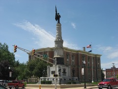 Winchester Courthouse Square Historic Districtlisted 2001
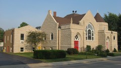 Winchester Residential Historic Districtlisted 2011
Population over time
3 figuresWinchester grew from 532 to 4,843 between 1850 and 2020. These are the recorded population figures Wikidata holds for this place, reached through the Geographic Names Information System number this page is keyed on rather than by name, so they belong to this place and not to another of the same name. Most are census counts, but not all are: an early figure may be a founding or settlement estimate, and an estimate published within five years of a census is left out. The change column is computed, and is left blank where more than 20 years separate a figure from the one before it, because a gap that long is not a change between two counts.
| Year | People | Change |
|---|---|---|
| 1850 | 532 | |
| 2010 | 4,935 | |
| 2020 | 4,843 | -92 (-2%) |
Topographic sheets covering this place
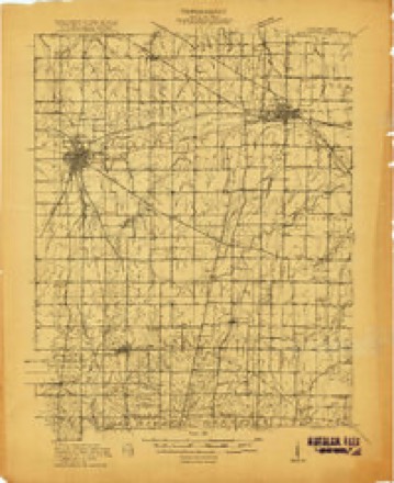
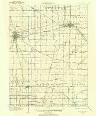
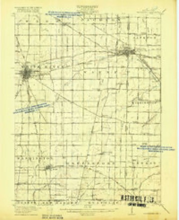
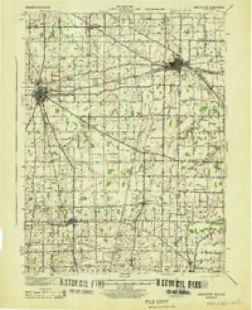
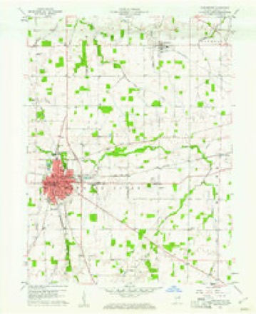
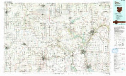
8 surveys from 18 printed sheetsMatched by testing this settlement's coordinate against the published boundary of every sheet in the United States Geological Survey's historical collection. Each opens the scanned sheet at the Survey.
- 1916 USGS Winchester quadrangle1:48000
- 1916 USGS Winchester quadrangle1:62500, 2 printings
- 1918 USGS Winchester quadrangle1:62500, 2 printings
- 1943 USGS Winchester quadrangle1:62500
- 1953 USGS Muncie quadrangle1:250000, 5 printings
- 1956 USGS Muncie quadrangle1:250000
- 1960 USGS Winchester quadrangle1:24000, 3 printings
- 1986 USGS Piqua quadrangle1:100000, 3 printings


In the county-history sources
31,943 words on this townshipHistory of Randolph County, Indiana with Illustrations and Biographical Sketches of Some of Its Prominent Men and Pioneers : to Which Are Appended Maps of Its Several Townships, published 1882 names this settlement in its chapter on White River Township. These are the passages that mention it, exactly as the scans read.
Early in 1816, Paul W. Way, Henry H. Way, William Way, Jr., Robert Way (a lad sixteen years old), and William Diggs, came from South Carolina and located land four miles west of Winchester. Paul Way returned for his parents and his family.
Passage source: History of Randolph County, Indiana with Illustrations and Biographical Sketches of Some of Its Prominent Men and Pioneers : to Which Are Appended Maps of Its Several Townships, published 1882.
In the summer of 1817, William Way returned on horseback alone, to South Carolina, to bring his father, William Way, Sr., to the new country, which purpose he successfully accomplished. With them came, among others, Mrs. Beverly, mother of Dr. Beverly, now of Winchester, and Moorman Way, then a lad of a few years old, but for many years a shrewd, active and successful lawyer, well known to the bar and the courts of the surrounding region for nearly half a century [died 1881.]
Passage source: History of Randolph County, Indiana with Illustrations and Biographical Sketches of Some of Its Prominent Men and Pioneers : to Which Are Appended Maps of Its Several Townships, published 1882.
The names of the M;isseys appear among the patentees of the Land Office. They entered land and lived there a while, but seem to have moved away before 1823. Another entry had been made in that region several miles east of Deerfield and south of the Mississinewa River. Mr. Strain entered a whole section in 1816, which was by months the earliest entry on the Mississinewa. lie does not appear, however, ever to have lived there. He entered it probably for speculation. The section lay just west of the west line of Jackson Township. Joab Ward, and Joel Ward his brother, settled at Ridgeville in April, 1819. Joab Ward did not enter land at that time, but bought a small tract (forty acres) of Meshach Lewallyn. Elias Kizer moved into that region in 1820, and was one of the prominent citizens of that part of the county for a considerable time, changing his residence to near Winchester, and dying there some years ago. Joab Ward stood as a bulwark of society during more than the average duration of human life.
Passage source: History of Randolph County, Indiana with Illustrations and Biographical Sketches of Some of Its Prominent Men and Pioneers : to Which Are Appended Maps of Its Several Townships, published 1882.
Machine-read from a century-old scan, so expect the errors a machine makes: misspelled names, dropped words, stray characters.
Read the whole chapter on White River Township - it names this place 47 more 47 times.
Storms near this place
42 since 1994Regional context, not property-specific evidence. The National Weather Service names Winchester in 42 storm reports between 1994 and 2026: 23 thunderstorm wind, 8 hail, 7 flash flood, 2 tornado. No death or injury is recorded in these reports. Each account below is quoted exactly as the forecast office filed it, from the NOAA Storm Events Database, and each date opens the federal record of that event.
| When | Event | Place named | Harm | What the report says |
|---|---|---|---|---|
| April 1994 | Thunderstorm Wind | Winchester | $50,000 | Randolph County Airport at Winchester measured 88 mph winds at 0230 EST. Approximately one half dozen barns sustained significant damage to their walls and roofs near and northeast of Winchester. Numerous trees were blown down in the east end of the county at Union City around 0240 EST. |
| January 2008 | Flash Flood | Winchester | $10,000 | Heavy rain caused flash flooding in Randolph County. Water was flowing over State Road 32 just east of Winchester. Sandbagging of a residence was also reported due to high water. |
| August 2007 | Thunderstorm Wind | Winchester | $10,000 | A tree limb fell on two or three vehicles at a repair shop on 3 West north of 3 North due to damaging thunderstorm winds. |
| April 2003 | Thunderstorm Wind | Winchester | $10,000 | no account filed |
| April 2001 | Thunderstorm Wind | Winchester | $10,000 | no account filed |
| June 1998 | Tornado (F0) | Winchester | $10,000 | no account filed |
| August 2010 | Thunderstorm Wind | Winchester | $9,000 | Trees were downed on power lines and billboard signs were damaged, due to damaging thunderstorm wind gusts, along US Highway 27 in Winchester. |
| May 2019 | Thunderstorm Wind | Winchester | $8,000 | A large and healthy tree had fallen on a car in the 300 block of East Thompson Street due to damaging thunderstorm wind gusts. |
| August 2007 | Thunderstorm Wind | Winchester | $7,000 | Trees and power lines were down due to damaging thunderstorm winds. A tree fell on a shelter building which destroyed the structure, picnic tables, and a grill. |
| July 2015 | Thunderstorm Wind | Winchester | $6,000 | Trees and power lines were downed in this location due to damaging thunderstorm wind gusts. |
| June 2021 | Flash Flood | Winchester | $5,000 | Water flowing over a road in Winchester with standing water noted along many side streets in town. |
| June 2011 | Thunderstorm Wind | Winchester | $5,000 | Utility poles were blown over in this location due to damaging thunderstorm wind gusts. |
| June 1998 | Tornado (F1) | Winchester | $5,000 | Third tornado from supercell crossed into Randolph County farmfields east of Blountsville before dissipating. |
| August 2007 | Thunderstorm Wind | Winchester | $4,000 | Numerous trees were down between State Road 1 and U.S. Hwy 27. Trees were also reported down between County Road 300 S and 600 S. Damaging thunderstorm wind gusts also damaged a wall of a farmhouse at 2886 W and 300 S. |
| November 2017 | Flood | Winchester | $3,000 | Winchester police closed off North Main Street between 3rd and 4th Streets due to flooding from heavy rainfall. The officer reported water up to his fender wells of his police pick-up truck. |
| May 1995 | Thunderstorm Wind | Winchester | $2,000 | Trees and power poles were downed. |
| March 1996 | Thunderstorm Wind | Winchester | $1,000 | no account filed |
| July 2023 | Hail | Winchester | - | At Randolph County Fairgrounds. |
| August 2008 | Thunderstorm Wind | Winchester | - | Several structures were damaged on a farm as a result of thunderstorm winds. |
| August 2007 | Thunderstorm Wind | Winchester | - | A few trees were down across the city due to damaging thunderstorm winds. |
| August 2005 | Thunderstorm Wind | Winchester | - | Large limbs were downed. |
| August 2005 | Thunderstorm Wind | Winchester | - | Trees and power lines were downed. |
| August 2005 | Flash Flood | Winchester | - | Roads were closed by high water. |
| March 2026 | Hail | Winchester | - | no account filed |
| September 2012 | Hail | Winchester | - | no account filed |
| May 2006 | Hail | Winchester | - | no account filed |
| May 2005 | Hail | Winchester | - | no account filed |
| June 2005 | Hail | Winchester | - | no account filed |
| August 2005 | Thunderstorm Wind | Winchester | - | no account filed |
| May 2004 | Hail | Winchester | - | no account filed |
| July 2003 | Flash Flood | Winchester | - | no account filed |
| July 2003 | Flash Flood | Winchester | - | no account filed |
| July 2003 | Thunderstorm Wind | Winchester | - | no account filed |
| July 2003 | Flash Flood | Winchester | - | no account filed |
| July 2003 | Thunderstorm Wind | Winchester | - | no account filed |
| June 2002 | Thunderstorm Wind | Winchester | - | no account filed |
| October 2001 | Thunderstorm Wind | Winchester | - | no account filed |
| August 2001 | Flood | Winchester | - | no account filed |
| June 1998 | Thunderstorm Wind | Winchester | - | no account filed |
| April 1998 | Flash Flood | Winchester | - | no account filed |
| April 1996 | Thunderstorm Wind | Winchester | - | no account filed |
| June 1995 | Hail | Winchester | - | no account filed |
Nearest settlements
The eight closest, with where each one stands in the county. Distances are straight-line, computed from the Geographic Names Information System coordinates.
| Map | Place | Distance | Sheets |
|---|---|---|---|
| Rural | 4.6 miles | 19 | |
| Stone | 4.6 miles | 13 | |
| Harrisville | 5.4 miles | 18 | |
| Mull | 5.4 miles | 13 | |
| Saratoga | 5.6 miles | 18 | |
| Snow Hill | 5.6 miles | 19 | |
| Buena Vista | 6.0 miles | 12 | |
| Randolph | 6.5 miles | 14 |
Elsewhere
Matched on this settlement's Geographic Names Information System number rather than its name, so it cannot be a different place of the same name in another state.
| Wikipedia article on Winchester | An encyclopaedic summary. Its text is share-alike, so it is linked here rather than copied. |
| Wikidata item Q680183 | The structured record the population and elevation above come from. Public domain (CC0). |
Provenance
This settlement is recorded in the Geographic Names Information System as feature 446166. The sheet list is computed by point-in-boundary test against the United States Geological Survey's historical topographic inventory. Both are works of the United States government and carry no copyright under 17 U.S.C. 105.
Storms. NOAA National Centers for Environmental Information, Storm Events Database https://www.ncei.noaa.gov/stormevents/ A work of the United States government, no copyright under 17 U.S.C. 105. Narratives are quoted verbatim from the National Weather Service report and are not edited or summarised.