 Block
New Pittsburg, Indiana
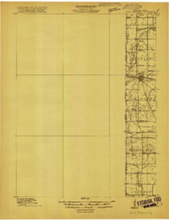
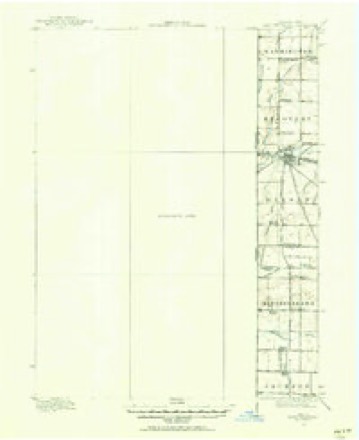
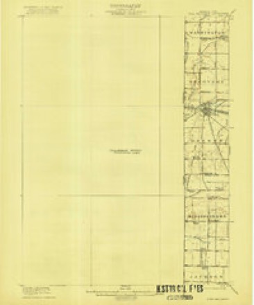
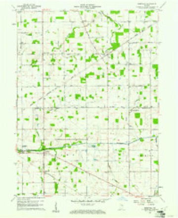
14 topographic sheets cover this place, the earliest surveyed in 1915 and the latest in 1992. It stands in Jackson Township. It lies in ZIP code area 47390. It stands on Porter Creek. The Survey maps it on the Deerfield quadrangle. It stands 1,033 feet above sea level.
Topographic sheets covering this place
8 surveys from 14 printed sheetsMatched by testing this settlement's coordinate against the published boundary of every sheet in the United States Geological Survey's historical collection. Each opens the scanned sheet at the Survey.
- 1915 USGS Fort Recovery quadrangle1:48000
- 1915 USGS Fort Recovery quadrangle1:62500
- 1918 USGS Fort Recovery quadrangle1:62500
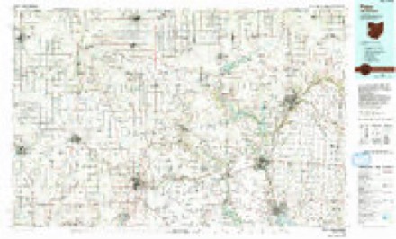
- 1953 USGS Muncie quadrangle1:250000, 5 printings
- 1956 USGS Muncie quadrangle1:250000
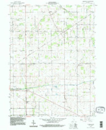
- 1960 USGS Deerfield quadrangle1:24000
- 1986 USGS Piqua quadrangle1:100000, 3 printings
- 1992 USGS Deerfield quadrangle1:24000


In the county-history sources
12,184 words on this townshipHistory of Randolph County, Indiana with Illustrations and Biographical Sketches of Some of Its Prominent Men and Pioneers : to Which Are Appended Maps of Its Several Townships, published 1882 names this settlement in its chapter on Jackson Township. These are the passages that mention it, exactly as the scans read.
It was erectetl as a fajwuship in 1833. It contains about tliirty sections, l)oiiig six miles north and south and five miles from I'jtst to west. The Mississinewa Hows from east to west, as also the Little Mississinewa northward to the Big Mississinewa. The Itind is rather level and somewhat low. It was ;it first considerably well much of the surface standing in the water a .great ptirt of the time. Clearing and ditehing, however, htive dried out the land pretty well, and the country is now good for farming, the low lands lieing the best. Originally the coiiiitry was heavily timbered. Most of the farms are now well cleared, though some are still rather new. The im|irovements are middling, with some fine residences. There are severtil pikes in the townshi)). The Union City & Salem pike divides the township north and south; the New Pittsburg pike extends from the Salem pike westward north to North Pittsburg, and the State Lino pike (Union City to Htu'overy) extends along nearly the entire east line.
Passage source: History of Randolph County, Indiana with Illustrations and Biographical Sketches of Some of Its Prominent Men and Pioneers : to Which Are Appended Maps of Its Several Townships, published 1882.
The first entry was made by John Abercrombie in October. 1816, on the river .south of Pittsburg. The actual settlement began hardly as early. It has been diffictilt to trace the liistorjof things to the first beginning. The earliest settlers seem to have left no trace behind, and but a slender memory of them remains among the residents of the present day. The bona fide occupation of the township seems to have taken place about 1820 perhaps somewhat earlier. A few seem to have spent some time there before that date. Thomas Shalor, a roving fellow, occii pied the James Porter place perhaps in 1826, leaving the neigh borhood about 1829. He is the same one mentioned by Mdvew & Hawkins as living in Jay County, in the region of Camden. Philip Storms is thought by some to have been the earliest resi dent. He is said to have lived somewhere in the region east of Jacob Johnson's, and ttfterward he resided several years at th(> Allensvillo crossing. One man states that Philip Storms was annoyed and injured by having men enter his selected location from under him, and that he became "fighting mad" on account of it, which is not much wonder, if the aggression were known and intended as .such, since the act would be both a flagrant violation of "squatter" law, and a serious breach of natural justice and of the golden rule. Mr. Storms resided in the region for somf time, as, eevertil years later, he was appointed by the County Commissioners to be Road Supervisor of his district.
Passage source: History of Randolph County, Indiana with Illustrations and Biographical Sketches of Some of Its Prominent Men and Pioneers : to Which Are Appended Maps of Its Several Townships, published 1882.
John Aborcrombie, on both gides of the Mississinewa River, directly south of Pittsburg, IS I G ; John Laverty, 1810, ou the creek, about a mile nearly north of New Middlotown; John C.Dunham, 1819, two separate quarter sections lying ou both sides of the Mississinewa, two and one-half miles southeast of New Pittsburg; Abraham Koyer, one and a half miles southeast of New Lisbon, between the Little Mississinewa and the Ohio line.
Passage source: History of Randolph County, Indiana with Illustrations and Biographical Sketches of Some of Its Prominent Men and Pioneers : to Which Are Appended Maps of Its Several Townships, published 1882.
Machine-read from a century-old scan, so expect the errors a machine makes: misspelled names, dropped words, stray characters.
Read the whole chapter on Jackson Township - it names this place 4 more 4 times.
Storms near this place
1 since 2025Regional context, not property-specific evidence. The National Weather Service names New Pittsburg in 1 storm report in 2025: 1 thunderstorm wind. No death or injury is recorded in these reports. Each account below is quoted exactly as the forecast office filed it, from the NOAA Storm Events Database, and each date opens the federal record of that event.
| When | Event | Place named | Harm | What the report says |
|---|---|---|---|---|
| March 2025 | Thunderstorm Wind | New Pittsburg | $10,000 | Thunderstorm winds blew off part of an oblong hog barn's roof at 9644 North County Road 200 East. |
Nearest settlements
The eight closest, with where each one stands in the county. Distances are straight-line, computed from the Geographic Names Information System coordinates.
| Map | Place | Distance | Sheets |
|---|---|---|---|
| Deerfield | 4.6 miles | 14 | |
| Randolph | 5.0 miles | 14 | |
| Saratoga | 5.0 miles | 18 | |
| New Lisbon | 5.9 miles | 19 | |
| Ridgeville | 7.0 miles | 12 | |
| Stone | 7.4 miles | 13 | |
| Harrisville | 8.5 miles | 18 | |
| Union City | 8.7 miles | 19 |
Elsewhere
Matched on this settlement's Geographic Names Information System number rather than its name, so it cannot be a different place of the same name in another state.
| Wikipedia article on New Pittsburg | An encyclopaedic summary. Its text is share-alike, so it is linked here rather than copied. |
| Wikidata item Q7010982 | The structured record the population and elevation above come from. Public domain (CC0). |
Provenance
This settlement is recorded in the Geographic Names Information System as feature 449701. The sheet list is computed by point-in-boundary test against the United States Geological Survey's historical topographic inventory. Both are works of the United States government and carry no copyright under 17 U.S.C. 105.
Storms. NOAA National Centers for Environmental Information, Storm Events Database https://www.ncei.noaa.gov/stormevents/ A work of the United States government, no copyright under 17 U.S.C. 105. Narratives are quoted verbatim from the National Weather Service report and are not edited or summarised.