 Block
Unionville, Indiana
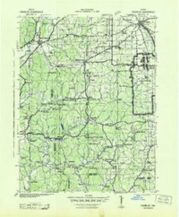
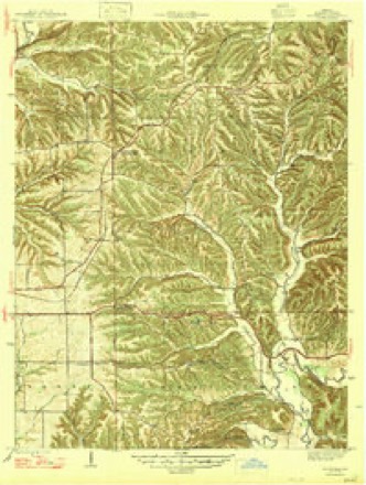
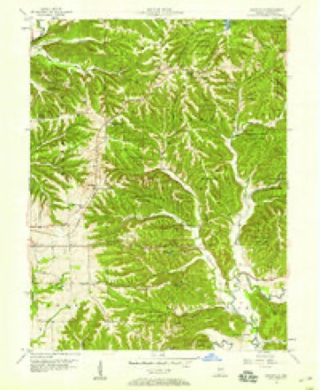
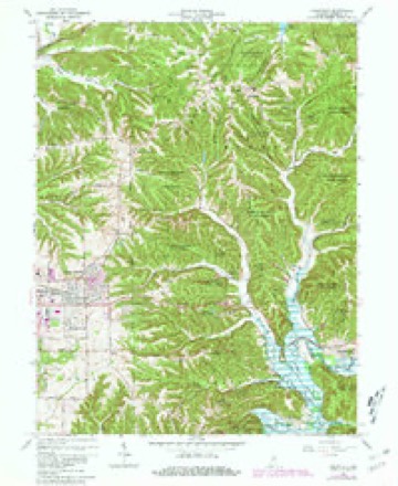
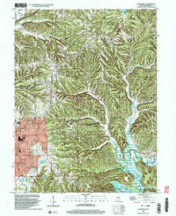
21 topographic sheets cover this place, the earliest surveyed in 1942 and the latest in 1998. It stands in Benton Township. It lies in ZIP code area 47468. It lies near Goose Hollow. The Survey maps it on the Unionville quadrangle. It stands 879 feet above sea level.
Topographic sheets covering this place
10 surveys from 21 printed sheetsMatched by testing this settlement's coordinate against the published boundary of every sheet in the United States Geological Survey's historical collection. Each opens the scanned sheet at the Survey.
- 1942 USGS Franklin quadrangle1:125000
- 1947 USGS Unionville quadrangle1:24000, 2 printings
- 1953 USGS Indianapolis quadrangle1:250000, 4 printings
- 1956 USGS Indianapolis quadrangle1:250000
- 1957 USGS Indianapolis quadrangle1:250000, 2 printings
- 1957 USGS Unionville quadrangle1:24000
- 1962 USGS Indianapolis quadrangle1:250000
- 1966 USGS Unionville quadrangle1:24000, 5 printings
- 1986 USGS Bloomington quadrangle1:100000, 3 printings
- 1998 USGS Unionville quadrangle1:24000





In the county-history sources
4,386 words on this township1884 History of Monroe County Indiana, published 1884 names this settlement in its chapter on Benton Township. These are the passages that mention it, exactly as the scans read.
HIS township was named in honor of Thomas H. Benton, of Missouri, al: one of the ablest men the country has ever produced. It was organized in 1833, a full account of which may be seen elsewhere in this yolume. It comprises all of Congressional Township 9 north, Range 1 east, except the eastern tier of sections, which was attached to Brown County many years ago, and in addition includes all of Township 10 north, Range 1 east, lying south of Bean Blossom Creek. The Town- ship is generally rough, with precipitous bluffs here and there, and is cut by numerous ravines, where small streams find their beds. There is too much clay in the soil to bring the best results to the agriculturist. This is true even of the lower lands, which contain much material washed down from higher altitudes. In some places, however, the soil is rich and deep, and furnishes excellent crops of all the cereals. As a whole the township is superior as a grazing location. The heavy forests, deep declivities and numerous bluffs afford abundant protection to domestic animals from the blasts of winter. The geology of the township is much similar to the balance of the county. The section of formation at Unionville is as follows :
Passage source: 1884 History of Monroe County Indiana, published 1884.
This is the only village in Benton township. It is likely that J. J. Alexander was the first merchant; at any rate he opened a store of general merchandise, worth about $900, in the year 1836, and soon had a flourishing trade. He continued in the business many years. Late in the forties, James Carter engaged in business in the village, continuing for several years. About the same time C. ©. Fleener also opened a general store. In about 1852, F. R. Miller engaged in the mercantile pursuit. Thus the business went on, usually one or two mercantile establishments present. A blacksmith shop, a post office, a carpenter or two, a dozen families, a doggery, etc., make up the sum and substance of Unionville.
Passage source: 1884 History of Monroe County Indiana, published 1884.
Jounty, Ohio, was born February 14, 1838, and is the eidest of the six children of John and Jane (MeNelley) Barnhill, natives respectively of Ohio and Pennsylvania, and of German-Ivish and Irish descent. Onur subject was sent to school in boyhood and reared to husbandry as a business. When he had reached his eighteenth year, his parents moved to this county, where he attained his majority,and afterward labored by the day for three years, receiviug but 50 cents per day. March 7, 1860, he married Miss Mary C. Alexander, of this township, born May, 1842, a union which gave being to six children - Florence J., Charles A., Olie, Eddie, John and Edna. Shortly after marriage, Mr. Barnhill moved to Unionville, where he has since made his home. He now owns and occupies the old Alexander farm, which comprises 358 acres with good buildings and varied improvements, thus constituting a valuable home and property. In 1877, he engaged in merchandising, and was commissioned Postmaster in 1879. He is a prominent Republican, and has been Township Trustee two terms.
Passage source: 1884 History of Monroe County Indiana, published 1884.
Machine-read from a century-old scan, so expect the errors a machine makes: misspelled names, dropped words, stray characters.
Read the whole chapter on Benton Township - it names this place 3 more 3 times.
Mines and quarries near this place
1 within 5 milesRegional context, not property-specific evidence. The federal mineral resources record lists 1 working within 5 miles of Unionville: 1 occurrence. None of them still produces. What was taken out: Zinc, Sulfur. Distance is straight-line from the map coordinates, so a quarry counted here may appear on a neighbouring settlement's page as well.
| Where | Site | Commodity | Status | Recorded |
|---|---|---|---|---|
| Sphalerite Occurrence Z71 | Zinc, Sulfur | Occurrence | Sphalerite |
Storms near this place
16 since 1997Regional context, not property-specific evidence. The National Weather Service names Unionville in 16 storm reports between 1997 and 2026: 11 hail, 3 thunderstorm wind, 2 flood. The reports record 1 death. Each account below is quoted exactly as the forecast office filed it, from the NOAA Storm Events Database, and each date opens the federal record of that event.
| When | Event | Place named | Harm | What the report says |
|---|---|---|---|---|
| January 2007 | Flood | Unionville | 1 killed, $10,000 | Lake Monroe flooded due to January rains. A man was killed when he drove into flooded local roads. |
| March 2026 | Thunderstorm Wind | Unionville | $2,000 | Tree downed by thunderstorm wind gusts near State Road 45. |
| July 2020 | Thunderstorm Wind | Unionville | $1,000 | Tree of unknown size uprooted due to thunderstorm wind gusts. |
| January 2012 | Thunderstorm Wind | New Unionville | $1,000 | A tree or tree limbs were blown down due to damaging thunderstorm wind gusts. |
| July 2017 | Hail | Unionville | - | This report came in from near Lake Lemon. |
| July 2017 | Hail | Unionville | - | Hail of quarter size or larger is falling once again. |
| April 2015 | Hail | Unionville | - | Hail was observed at Unionville School. |
| May 2009 | Flood | New Unionville | - | Brummets Creek Road was impassable due to flooding caused by heavy rains. |
| July 2017 | Hail | Unionville | - | no account filed |
| March 2016 | Hail | Unionville | - | no account filed |
| April 2015 | Hail | Unionville | - | no account filed |
| April 2015 | Hail | Unionville | - | no account filed |
| May 2014 | Hail | New Unionville | - | no account filed |
| May 2012 | Hail | Unionville | - | no account filed |
| May 1999 | Hail | Unionville | - | no account filed |
| March 1997 | Hail | Unionville | - | no account filed |
Nearest settlements
The eight closest, with where each one stands in the county. Distances are straight-line, computed from the Geographic Names Information System coordinates.
| Map | Place | Distance | Sheets |
|---|---|---|---|
| New Unionville | 2.8 miles | 21 | |
| Fleener | 3.6 miles | 21 | |
| Dolan | 4.5 miles | 21 | |
| Eastern Heights | 5.1 miles | 21 | |
| Woodville Hills | 5.8 miles | 21 | |
| Marlin Hills | 5.8 miles | 25 | |
| Wayport | 6.1 miles | 17 | |
| Hoosier Acres | 6.2 miles | 21 |
Elsewhere
Matched on this settlement's Geographic Names Information System number rather than its name, so it cannot be a different place of the same name in another state.
| Wikipedia article on Unionville | An encyclopaedic summary. Its text is share-alike, so it is linked here rather than copied. |
| Wikidata item Q7886863 | The structured record the population and elevation above come from. Public domain (CC0). |
Provenance
This settlement is recorded in the Geographic Names Information System as feature 445140. The sheet list is computed by point-in-boundary test against the United States Geological Survey's historical topographic inventory. Both are works of the United States government and carry no copyright under 17 U.S.C. 105.
Mines and quarries. USGS Mineral Resources Data System (MRDS) https://mrdata.usgs.gov/mrds/ A work of the United States government, no copyright under 17 U.S.C. 105.
Storms. NOAA National Centers for Environmental Information, Storm Events Database https://www.ncei.noaa.gov/stormevents/ A work of the United States government, no copyright under 17 U.S.C. 105. Narratives are quoted verbatim from the National Weather Service report and are not edited or summarised.