 Block
Vertland, Indiana
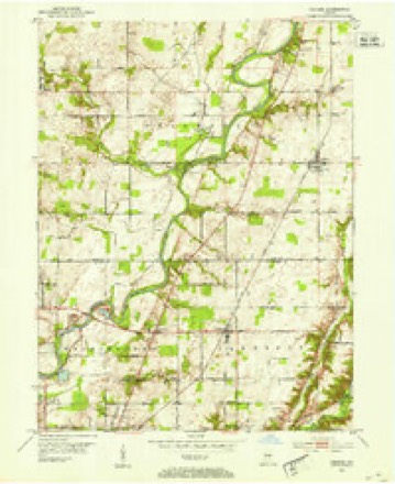
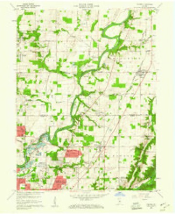
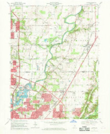
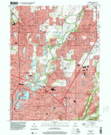
19 topographic sheets cover this place, the earliest surveyed in 1952 and the latest in 1998. It stands in Lawrence Township. It lies in ZIP code area 46250. It stands on Castle Creek. The Survey maps it on the Fishers quadrangle.
Topographic sheets covering this place
9 surveys from 19 printed sheetsMatched by testing this settlement's coordinate against the published boundary of every sheet in the United States Geological Survey's historical collection. Each opens the scanned sheet at the Survey.
- 1952 USGS Fishers quadrangle1:24000
- 1953 USGS Indianapolis quadrangle1:250000, 4 printings
- 1956 USGS Indianapolis quadrangle1:250000
- 1957 USGS Indianapolis quadrangle1:250000, 2 printings
- 1959 USGS Fishers quadrangle1:24000, 2 printings
- 1962 USGS Indianapolis quadrangle1:250000
- 1967 USGS Fishers quadrangle1:24000, 5 printings
- 1986 USGS Indianapolis quadrangle1:100000, 2 printings
- 1998 USGS Fishers quadrangle1:24000





In the county-history sources
25,786 words on this townshipHistory of Indianapolis and Marion County, Indiana, published 1884 names this settlement in its chapter on Lawrence Township. These are the passages that mention it, exactly as the scans read.
At the second election, which was held at the same place in 1826, there were present nearly forty voters Subsequently elections were held at Joseph Johnson's blacksmith-shop, near where No. 5 schoolhouse now stands ; at Fount Kimberlain's residence for several years (it was held there in 1840) ; at Baker's school-house for several years (it was held there in 1842 and 1843) ; at Andrew Bolander's blacksmith-shop and at his residence, situate on the east forty-acre tract of land now owned by William K. Sproul (the election was there in 1849) ; and at Spring Valley school-house No. 8, and was held there until three voting precincts were established. The election was then held at the residence of Henry Cronk, one mile east of Castleton, at Spring Valley school-house No. 8, and at William Hoss' residence, at the cross roads near the David Hoss farm, southwest of Oakland, until the township was divided into three precincts for election purposes and polls established at school-houses Nos. 3, 6, and 9, which are the- present voting places, as follows : Precinct No. 1, at Oakland; Precinct No. 2, at Vertland; Precinct No. 3, at Lawrence.
Passage source: History of Indianapolis and Marion County, Indiana, published 1884.
Post-Offices and Villages. - The following-named post-offices are located in Lawrence township, viz. : Castleton, Lawrence, and Oaklandon. At. and from each of these offices the mail arrives and departs twice daily. Mail matter intended for Germantown is sent to Oaklandon, and that bound for Vertland goes to Castleton.
Passage source: History of Indianapolis and Marion County, Indiana, published 1884.
Vertland is situated eleven and a half miles northnortheast of Indianapolis, on the Wabash, St. Louis and Pacific Railroad. It was laid out by Milford H. Vert, March 14, 1851, and given the name of Bellefontaine. It was so called until June 13, 1853, when, upon petition of Milford H. Vert and seven other citizens of Bellefontaine, all voters of said town, the Board of County Commissioners ordered " that the name of said town be, and it is hereby changed to, Vertland ; which name it shall hereafter bear." Originally the town contained thirty-three lots, but many of them have been thrown back into farmingland, and no business of any kind has been carried on there for many years. The first merchants of the town were Hilary and Eaton Thomas. The Castleton Methodist Episcopal Church and the parsonage of the Castleton Circuit are located there. No. 3 school-house is also located there and a graded school taught. James I. Rooker is the only physician in the place. The population of the town is about twentyfive.
Passage source: History of Indianapolis and Marion County, Indiana, published 1884.
Machine-read from a century-old scan, so expect the errors a machine makes: misspelled names, dropped words, stray characters.
Read the whole chapter on Lawrence Township - it names this place 2 more 2 times.
Mines and quarries near this place
7 within 5 milesRegional context, not property-specific evidence. The federal mineral resources record lists 7 workings within 5 miles of Vertland: 5 producers, 2 past producers. 5 still produce. What was taken out: Sand and Gravel, Construction, Stone, Crushed/Broken. Distance is straight-line from the map coordinates, so a quarry counted here may appear on a neighbouring settlement's page as well.
| Where | Site | Commodity | Status | Recorded |
|---|---|---|---|---|
| Indianapolis 521 Quarry | Stone, Crushed/Broken | Producer | ||
| Carmel 512 Pit | Sand and Gravel, Construction | Producer | ||
| Eighty-Sixth Street Sand | Sand and Gravel, Construction | Producer | ||
| Fishers Sand Plant | Sand and Gravel, Construction | Producer | ||
| Indianapolis 513 Pit | Sand and Gravel, Construction | Producer | ||
| U. S. Aggregates, Inc. | Sand and Gravel, Construction | Past Producer | ||
| U. S. Allied Aggregates, Inc. | Sand and Gravel, Construction | Past Producer |
Nearest settlements
The eight closest, with where each one stands in the county. Distances are straight-line, computed from the Geographic Names Information System coordinates.
| Map | Place | Distance | Sheets |
|---|---|---|---|
| Castleton | 0.4 miles | 19 | |
| Ivy Hills | 1.6 miles | 19 | |
| Allisonville | 1.8 miles | 19 | |
| Fairwood Hills | 2.1 miles | 19 | |
| Devonshire | 2.2 miles | 19 | |
| Avalon Hills | 2.3 miles | 19 | |
| Mayflower Meadows | 2.8 miles | 19 | |
| Fall Creek Highland | 3.1 miles | 12 |
Elsewhere
Matched on this settlement's Geographic Names Information System number rather than its name, so it cannot be a different place of the same name in another state.
| Wikidata item Q122544805 | The structured record the population and elevation above come from. Public domain (CC0). |
Provenance
This settlement is recorded in the Geographic Names Information System as feature 452160. The sheet list is computed by point-in-boundary test against the United States Geological Survey's historical topographic inventory. Both are works of the United States government and carry no copyright under 17 U.S.C. 105.
Mines and quarries. USGS Mineral Resources Data System (MRDS) https://mrdata.usgs.gov/mrds/ A work of the United States government, no copyright under 17 U.S.C. 105.