 Block
Wallen, Indiana
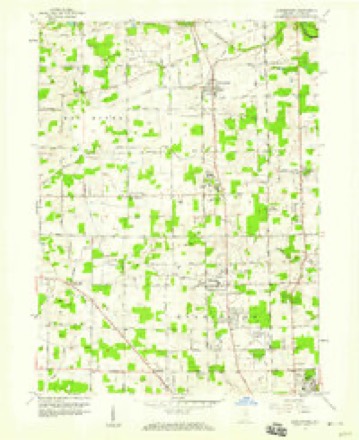
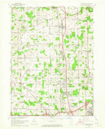
12 topographic sheets cover this place, the earliest surveyed in 1953 and the latest in 1994. It stands in Washington Township. It lies in ZIP code area 46818. The Survey maps it on the Huntertown quadrangle.
Topographic sheets covering this place
6 surveys from 12 printed sheetsMatched by testing this settlement's coordinate against the published boundary of every sheet in the United States Geological Survey's historical collection. Each opens the scanned sheet at the Survey.
- 1953 USGS Fort Wayne quadrangle1:250000, 4 printings
- 1956 USGS Fort Wayne quadrangle1:250000, 2 printings
- 1957 USGS Huntertown quadrangle1:24000
- 1963 USGS Huntertown quadrangle1:24000, 3 printings
- 1984 USGS Fort Wayne quadrangle1:100000
- 1994 USGS Fort Wayne quadrangle1:100000




In the county-history sources
45,589 words on this townshipHistory of Allen County, Indiana., published 1880 names this settlement in its chapter on Washington Township. These are the passages that mention it, exactly as the scans read.
Following the completion of the Grand Rapids & Indiana Railroad, Joseph IC. Edgerton divided some adjacent lands into town lots, and the village was founded in 1870. He gave its present name in honor of Mr. Wallen, Superin¬ tendent of the road. Additions were subsequently made on the south and east of the original plat, by James P. Ross. ..
Passage source: History of Allen County, Indiana., published 1880.
Machine-read from a century-old scan, so expect the errors a machine makes: misspelled names, dropped words, stray characters.
Read the whole chapter on Washington Township - it names this place 3 more 3 times.
Mines and quarries near this place
2 within 5 milesRegional context, not property-specific evidence. The federal mineral resources record lists 2 workings within 5 miles of Wallen: 2 producers. All of them still produce. What was taken out: Sand and Gravel, Construction. Distance is straight-line from the map coordinates, so a quarry counted here may appear on a neighbouring settlement's page as well.
| Where | Site | Commodity | Status | Recorded |
|---|---|---|---|---|
| Brudi Pit #3 | Sand and Gravel, Construction | Producer | ||
| Plant Number 7 N | Sand and Gravel, Construction | Producer |
Storms near this place
14 since 1998Regional context, not property-specific evidence. The National Weather Service names Wallen in 14 storm reports between 1998 and 2026: 11 thunderstorm wind, 3 hail. No death or injury is recorded in these reports. Each account below is quoted exactly as the forecast office filed it, from the NOAA Storm Events Database, and each date opens the federal record of that event.
| When | Event | Place named | Harm | What the report says |
|---|---|---|---|---|
| August 2022 | Thunderstorm Wind | Wallen | $20,000 | There were several calls to dispatch regarding tree limbs down on power lines, resulting in power outages and inoperable traffic lights on the northwest side of Allen County. |
| July 2023 | Thunderstorm Wind | Wallen | $10,000 | Many trees down or snapped. Part of barn roof torn off. |
| July 2023 | Thunderstorm Wind | Wallen | $8,000 | Tree limbs down and shingles off the roof at Avalon at Northbrook Apartments. |
| July 2023 | Thunderstorm Wind | Wallen | $2,000 | Two trees down on Dupont and Fritz Roads. Time estimated from radar. |
| July 2023 | Thunderstorm Wind | Wallen | $2,000 | Several trees down in the parking lot of this store. |
| February 2026 | Hail | Wallen | - | Pictures shared on Facebook of lots of smaller hail stones and at least one stone roughly the size of a half dollar. |
| March 2022 | Thunderstorm Wind | Wallen | - | The public reported a large tree was snapped. |
| July 2022 | Thunderstorm Wind | Wallen | - | Tree limbs were down due to estimated wind gusts of 60 mph. |
| August 2019 | Thunderstorm Wind | Wallen | - | Emergency management officials reported sporadic tree and tree limb damage on the north side of Fort Wayne. |
| May 2018 | Thunderstorm Wind | Wallen | - | Partially rotten one to two foot diameter tree limb down on Cook Road. |
| March 2017 | Thunderstorm Wind | Wallen | - | Emergency management officials reported the roof of a business was damaged as well as parts of the interior of the building. |
| September 2012 | Hail | Wallen | - | An off duty NWS employee reported mostly pea size hail along with a few hailstones ranging from dime to nickel size. |
| June 1998 | Thunderstorm Wind | Wallen | - | no account filed |
| June 1998 | Hail | Wallen | - | no account filed |
Nearest settlements
The eight closest, with where each one stands in the county. Distances are straight-line, computed from the Geographic Names Information System coordinates.
| Map | Place | Distance | Sheets |
|---|---|---|---|
| Academie | 1.3 miles | 12 | |
| Ludwig Park | 1.8 miles | 12 | |
| Crestwood | 2.7 miles | 12 | |
| Fort Wayne | 2.9 miles | 12 | |
| Northcrest | 3.1 miles | 14 | |
| Allen | 3.1 miles | 12 | |
| Royville | 3.2 miles | 12 | |
| Concordia Gardens | 3.3 miles | 12 |
Elsewhere
Matched on this settlement's Geographic Names Information System number rather than its name, so it cannot be a different place of the same name in another state.
| Wikidata item Q122592103 | The structured record the population and elevation above come from. Public domain (CC0). |
Provenance
This settlement is recorded in the Geographic Names Information System as feature 445398. The sheet list is computed by point-in-boundary test against the United States Geological Survey's historical topographic inventory. Both are works of the United States government and carry no copyright under 17 U.S.C. 105.
Mines and quarries. USGS Mineral Resources Data System (MRDS) https://mrdata.usgs.gov/mrds/ A work of the United States government, no copyright under 17 U.S.C. 105.
Storms. NOAA National Centers for Environmental Information, Storm Events Database https://www.ncei.noaa.gov/stormevents/ A work of the United States government, no copyright under 17 U.S.C. 105. Narratives are quoted verbatim from the National Weather Service report and are not edited or summarised.