 Block
Allen, Indiana
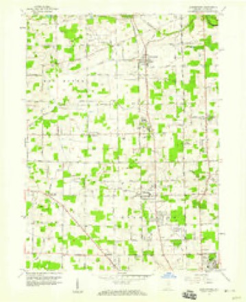
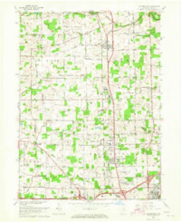
12 topographic sheets cover this place, the earliest surveyed in 1953 and the latest in 1994. It stands in Eel River Township. It lies in ZIP code area 46818. The Survey maps it on the Huntertown quadrangle.
Topographic sheets covering this place
6 surveys from 12 printed sheetsMatched by testing this settlement's coordinate against the published boundary of every sheet in the United States Geological Survey's historical collection. Each opens the scanned sheet at the Survey.
- 1953 USGS Fort Wayne quadrangle1:250000, 4 printings
- 1956 USGS Fort Wayne quadrangle1:250000, 2 printings
- 1957 USGS Huntertown quadrangle1:24000
- 1963 USGS Huntertown quadrangle1:24000, 3 printings
- 1984 USGS Fort Wayne quadrangle1:100000
- 1994 USGS Fort Wayne quadrangle1:100000




In the county-history sources
6,520 words on this townshipHistory of Allen County, Indiana., published 1880 names this settlement in its chapter on Eel River Township. These are the passages that mention it, exactly as the scans read.
Eel River is the northwestern township of Allen County, and comprises Con¬ gressional Township 32 north, of Range 11 east. It is bounded on the north by Noble County, east by Perry Township,- south by Washington and Lake Town¬ ships, west by Whitley County, and has an area of 35.16 square miles.
Passage source: History of Allen County, Indiana., published 1880.
In June, 1835, John Valentine came from Ohio, and settled on Section 33, where his son, Jackson, now resides. The father resided in the township until his death : his wife survives him, and now lives on the old homestead with her son.
Passage source: History of Allen County, Indiana., published 1880.
Wesleyan Methodist. - The Wesleyan Methodist Church in this township was constituted by those who were formerly attached to the United Brethren Church. The latter denomination organized in 1853, with a class of ten members, atid moved harmoniously for a number of years. In 1860, they erected a frame church in the west part of the township, at a cost of $700. Here they held reg¬ ular services, and their membership increased until 1874; then a number of their members embraced the doctrine of sanctification, but were unable to secure the sympathy or co-operation of their Pastor. The majority of the congregation embraced the doctrine, and the position taken by the pastor caused a disaffection, i which grew until the members who held those views withdrew, and organized the Wesleyan Methodist Church. Soon after this, meetings at the United Brethren Church were discontinued, and the organization ceased to exist.
Passage source: History of Allen County, Indiana., published 1880.
Machine-read from a century-old scan, so expect the errors a machine makes: misspelled names, dropped words, stray characters.
Read the whole chapter on Eel River Township - it names this place 17 more 17 times.
Mines and quarries near this place
4 within 5 milesRegional context, not property-specific evidence. The federal mineral resources record lists 4 workings within 5 miles of Allen: 3 producers, 1 plant. All of them still produce. What was taken out: Sand and Gravel, Construction. Distance is straight-line from the map coordinates, so a quarry counted here may appear on a neighbouring settlement's page as well.
| Where | Site | Commodity | Status | Recorded |
|---|---|---|---|---|
| Brudi Pit 4 | Sand and Gravel, Construction | Producer | ||
| Canyon Sand & Gravel Pit | Sand and Gravel, Construction | Producer | ||
| Midwest Plant No. 2 | Sand and Gravel, Construction | Plant | ||
| Plant Number 7 N | Sand and Gravel, Construction | Producer |
Nearest settlements
The eight closest, with where each one stands in the county. Distances are straight-line, computed from the Geographic Names Information System coordinates.
| Map | Place | Distance | Sheets |
|---|---|---|---|
| Huntertown | 2.3 miles | 12 | |
| Wallen | 3.1 miles | 12 | |
| Royville | 3.3 miles | 12 | |
| Academie | 3.3 miles | 12 | |
| Dunn Mill | 3.4 miles | 12 | |
| Ludwig Park | 4.9 miles | 12 | |
| Crestwood | 5.7 miles | 12 | |
| Fort Wayne | 6.0 miles | 12 |
Provenance
This settlement is recorded in the Geographic Names Information System as feature 446643. The sheet list is computed by point-in-boundary test against the United States Geological Survey's historical topographic inventory. Both are works of the United States government and carry no copyright under 17 U.S.C. 105.
Mines and quarries. USGS Mineral Resources Data System (MRDS) https://mrdata.usgs.gov/mrds/ A work of the United States government, no copyright under 17 U.S.C. 105.