 Block
White Rose, Indiana
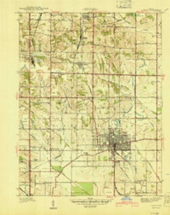
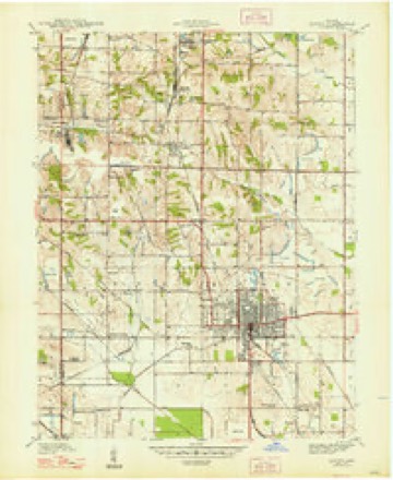
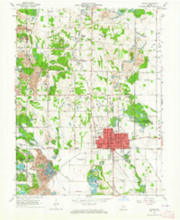
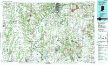
19 topographic sheets cover this place, the earliest surveyed in 1940 and the latest in 1986. It stands in Stockton Township. It lies in ZIP code area 47441. The Survey maps it on the Linton quadrangle.
Topographic sheets covering this place
8 surveys from 19 printed sheetsMatched by testing this settlement's coordinate against the published boundary of every sheet in the United States Geological Survey's historical collection. Each opens the scanned sheet at the Survey.
- 1940 USGS Linton quadrangle1:24000, 2 printings
- 1947 USGS Linton quadrangle1:24000, 3 printings
- 1953 USGS Indianapolis quadrangle1:250000, 4 printings
- 1956 USGS Indianapolis quadrangle1:250000
- 1957 USGS Indianapolis quadrangle1:250000, 2 printings
- 1962 USGS Indianapolis quadrangle1:250000
- 1963 USGS Linton quadrangle1:24000, 4 printings
- 1986 USGS Terre Haute quadrangle1:100000, 2 printings




In the county-history sources
794 words on this townshipEarly History of Greene County, Indiana : As Taken from the Official Records, and Compiled from Authentic Recollection, by Pioneer Settlers ... Including Brief Sketches of Pioneer Families ..., published 1875 has no passage naming this settlement, which was common for smaller places. Its township is covered in full.
The chapter on Stockton Township covers the township.
Read the chapter on Stockton Township - 794 words.
Fires near this place
4 since 2001Regional context, not property-specific evidence. The federal wildfire occurrence database lists 4 fires within 5 miles of White Rose between 2001 and 2005, burning about 5 acres in total. None started naturally. None was recorded as arson. Distance is straight-line from the map coordinates, so a fire counted here may appear on a neighbouring settlement's page as well.
| Reported cause | Fires |
|---|---|
| Recreation and ceremony | 3 |
| Debris and open burning | 1 |
The most recent of them, most recent first, with the day each was reported and the service that recorded it.
| Date | Cause | Size | Reported by | Name on the report |
|---|---|---|---|---|
| 11 April 2005 | Recreation and ceremony | under an acre | Indiana State Fire Marshal's Office | not named |
| 9 March 2001 | Debris and open burning | under an acre | Indiana State Fire Marshal's Office | not named |
| 23 March 2004 | Recreation and ceremony | 3.0 acres | Indiana State Fire Marshal's Office | not named |
| 23 March 2002 | Recreation and ceremony | 2.0 acres | Indiana State Fire Marshal's Office | not named |
Settlements close enough to share some of these fires:
Storms near this place
1 since 2025Regional context, not property-specific evidence. The National Weather Service names White Rose in 1 storm report in 2025: 1 tornado. The reports record 1 death and 3 injuries. Each account below is quoted exactly as the forecast office filed it, from the NOAA Storm Events Database, and each date opens the federal record of that event.
| When | Event | Place named | Harm | What the report says |
|---|---|---|---|---|
| May 2025 | Tornado (EF2) | White Rose | 1 killed, 3 hurt, $1,050,000 | The episode's first tornado was the first of three tornadoes spawned from a rotating supercell that had begun in Illinois before crossing southern central Indiana. This tornado crossed the northwestern quadrant of Greene County, in an east-northeasterly and then easterly direction, producing EF2 damage along much of its track. The vortex touched down on County Road 150 North two-tenths of a mile west of the intersection with County Road 1500 West. Immediately west of this intersection numerous hardwood and softwood trees twisted and snapped; three children were injured and an adult perished when a large tree fell on their vehicle. A barn door was blown in and a few homes ascertained roof damage. The circulation strengthened as it continued northeast crossing Indiana Route 54 just south of County Road 230 North, where numerous large trees were snapped or uprooted with structural damage to numerous homes. EF2 damage continued from near the intersection of County Roads 240 North and 1175 West to near the intersection of Country Roads 295 North and 900 West: several homes saw significant structural damage, with a brick based home seeing the entire roof removed and a wall collapsed; several other homes in this area had extensive roof damage.||Upon crossing County Road 700 West the tornado turned easterly, tracking parallel to yet south of County Road 400 North, and then along County Road 325 North, while continuing at EF2 intensity. The vortex was 100 to 200 yards wide through this final segment of the track, damaging several structures, including considerable damage to one residence with some anchoring noted to one of the walls. The circulation crossed US Highway 231, with continuous destruction to trees and roofs through ridges and valleys approaching the White River. The tornado weakened upon crossing County Road 190 West, with EF1 damage before lifting at the White River, east-southeast of the intersection of County Roads 325 North and 250 West. Peak wind gusts were 128 mph. |
Nearest settlements
The eight closest, with where each one stands in the county. Distances are straight-line, computed from the Geographic Names Information System coordinates.
Provenance
This settlement is recorded in the Geographic Names Information System as feature 445963. The sheet list is computed by point-in-boundary test against the United States Geological Survey's historical topographic inventory. Both are works of the United States government and carry no copyright under 17 U.S.C. 105.
Wildfire. Short, Karen C. 2022. Spatial wildfire occurrence data for the United States, 1992-2020 [FPA_FOD_20221014]. 6th Edition. Fort Collins, CO: Forest Service Research Data Archive. https://doi.org/10.2737/RDS-2013-0009.6 Collected with United States Government funding and usable without additional permissions or fees.
Storms. NOAA National Centers for Environmental Information, Storm Events Database https://www.ncei.noaa.gov/stormevents/ A work of the United States government, no copyright under 17 U.S.C. 105. Narratives are quoted verbatim from the National Weather Service report and are not edited or summarised.