 Block
Linton, Indiana
19 topographic sheets cover this place, the earliest surveyed in 1940 and the latest in 1986. It stands in Stockton Township. It lies in ZIP code area 47441. The Survey maps it on the Linton quadrangle. 5,133 people lived here at the 2020 count. It stands 531 feet above sea level.
On record in Linton
Buildings and businesses the archive holds for this place. Each opens its own page, with the source record it came from.
On the National Register 2 records
 Linton Commercial Historic Districtlisted 2007
 Linton Public Librarylisted 2000
Population over time
2 figuresLinton fell from 5,413 to 5,133 between 2010 and 2020. These are the recorded population figures Wikidata holds for this place, reached through the Geographic Names Information System number this page is keyed on rather than by name, so they belong to this place and not to another of the same name. Most are census counts, but not all are: an early figure may be a founding or settlement estimate, and an estimate published within five years of a census is left out. The change column is computed, and is left blank where more than 20 years separate a figure from the one before it, because a gap that long is not a change between two counts.
| Year | People | Change |
|---|---|---|
| 2010 | 5,413 | |
| 2020 | 5,133 | -280 (-5%) |
Topographic sheets covering this place
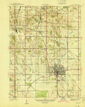
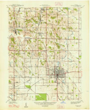
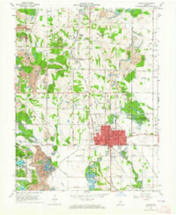
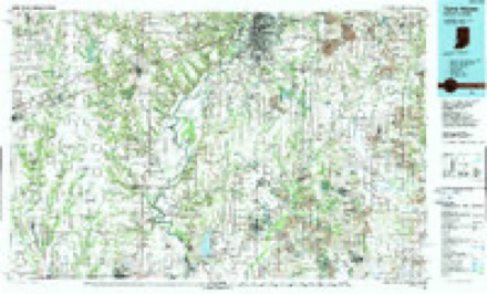
8 surveys from 19 printed sheetsMatched by testing this settlement's coordinate against the published boundary of every sheet in the United States Geological Survey's historical collection. Each opens the scanned sheet at the Survey.
- 1940 USGS Linton quadrangle1:24000, 2 printings
- 1947 USGS Linton quadrangle1:24000, 3 printings
- 1953 USGS Indianapolis quadrangle1:250000, 4 printings
- 1956 USGS Indianapolis quadrangle1:250000
- 1957 USGS Indianapolis quadrangle1:250000, 2 printings
- 1962 USGS Indianapolis quadrangle1:250000
- 1963 USGS Linton quadrangle1:24000, 4 printings
- 1986 USGS Terre Haute quadrangle1:100000, 2 printings




In the county-history sources
794 words on this townshipEarly History of Greene County, Indiana : As Taken from the Official Records, and Compiled from Authentic Recollection, by Pioneer Settlers ... Including Brief Sketches of Pioneer Families ..., published 1875 names this settlement in its chapter on Stockton Township. These are the passages that mention it, exactly as the scans read.
Grandfather Hale built a log cabin about five miles from Linton, in the Buck neighborhood, this township- Old Uncle Jesse Powell built the first house on the farm where Alexander Beasley now lives. Several of the Powell family yet live in Greene county.
Passage source: Early History of Greene County, Indiana : As Taken from the Official Records, and Compiled from Authentic Recollection, by Pioneer Settlers ... Including Brief Sketches of Pioneer Families ..., published 1875.
Mr. Thomas Mason la rather an old citizen of Greene county, having came to Linton when a young man, and commenced business with Wickliff Wines, in a tan-yard, which he carried on for a number of years successfully. He married Miss Fields, whom Wickliff Wines raised. He is about forty-five years of age.
Passage source: Early History of Greene County, Indiana : As Taken from the Official Records, and Compiled from Authentic Recollection, by Pioneer Settlers ... Including Brief Sketches of Pioneer Families ..., published 1875.
Martin Wines, Esq., was an old citizen of Stockton township, and a very useful man. He died on nis farm at a ripe age. He was a Mason and was buried by that Order, at the Linton grave-yard. A monument of marble seven feet high, marks his restingpiaee»
Passage source: Early History of Greene County, Indiana : As Taken from the Official Records, and Compiled from Authentic Recollection, by Pioneer Settlers ... Including Brief Sketches of Pioneer Families ..., published 1875.
Machine-read from a century-old scan, so expect the errors a machine makes: misspelled names, dropped words, stray characters.
Read the whole chapter on Stockton Township - it names this place 5 more 5 times.
Fires near this place
6 since 2002Regional context, not property-specific evidence. The federal wildfire occurrence database lists 6 fires within 5 miles of Linton between 2002 and 2007, burning about 30 acres in total. None started naturally. 2 were recorded as arson. Distance is straight-line from the map coordinates, so a fire counted here may appear on a neighbouring settlement's page as well.
| Reported cause | Fires |
|---|---|
| Recreation and ceremony | 3 |
| Arson/incendiarism | 2 |
| Debris and open burning | 1 |
The most recent of them, most recent first, with the day each was reported and the service that recorded it.
| Date | Cause | Size | Reported by | Name on the report |
|---|---|---|---|---|
| 10 April 2007 | Recreation and ceremony | under an acre | Indiana State Fire Marshal's Office | not named |
| 9 March 2007 | Arson/incendiarism | 20 acres | Indiana State Fire Marshal's Office | not named |
| 23 March 2002 | Recreation and ceremony | 2.0 acres | Indiana State Fire Marshal's Office | not named |
| 12 March 2007 | Recreation and ceremony | under an acre | Indiana State Fire Marshal's Office | not named |
| 27 February 2004 | Arson/incendiarism | 8.0 acres | Indiana State Fire Marshal's Office | not named |
| 10 February 2007 | Debris and open burning | under an acre | Indiana State Fire Marshal's Office | not named |
Settlements close enough to share some of these fires:
Storms near this place
39 since 1994Regional context, not property-specific evidence. The National Weather Service names Linton in 39 storm reports between 1994 and 2026: 18 thunderstorm wind, 7 flash flood, 7 hail, 3 lightning. The reports record 1 death and 4 injuries. Each account below is quoted exactly as the forecast office filed it, from the NOAA Storm Events Database, and each date opens the federal record of that event.
| When | Event | Place named | Harm | What the report says |
|---|---|---|---|---|
| May 1999 | Thunderstorm Wind | Linton | 1 killed, 2 hurt | no account filed |
| December 2025 | Tornado (EF1) | Linton | 1 hurt, $1,500,000 | A line of strong to severe storms moved across central and southern Indiana during the evening. As the line of storms approached Greene County a surge or bowing segment was noted in the line. This allowed for a quick moving tornado to impact downtown Linton. The tornado started near the corner of A Street SW and 6th Street SW and moved northeast through downtown Linton. The strongest damage was noted along Main St between West Vincennes St and A Street SW. This is where damage consistent with an EF1 tornado had occurred. This caused damage to roofs of masonry buildings in downtown Linton. Splatter of dirt and mud in a manner consistent with a tornado was found. The tornado continued to move east-northeast doing damage between A Street NE and East Vincennes Street. Additional roof damage and tree damage was found along the path. The tornado eventually weakened and lifted shortly after moving past 12th Street NE. Maximum winds were estimated at 100 mph. |
| September 1996 | Lightning | Linton | 1 hurt | no account filed |
| April 2006 | Thunderstorm Wind | Linton | $50,000 | Widespread wind damage was reported in Linton. |
| August 2000 | Lightning | Linton | $40,000 | no account filed |
| March 2026 | Thunderstorm Wind | Linton | $30,000 | Thunderstorm wind gusts caused damage to a roof and billboard. |
| April 2025 | Thunderstorm Wind | Linton | $30,000 | Several structures and numerous trees impacted by thunderstorm wind gusts near and south of Linton. |
| July 2013 | Flash Flood | Linton | $20,000 | The county sheriff reported numerous water rescues of people from vehicles due to flash flooding from heavy thunderstorm rainfall. This occurred at several locations throughout the county. |
| June 2002 | Thunderstorm Wind | Linton | $10,000 | A pole barn was blown down, damaging some of the machinery inside. |
| June 2013 | Flash Flood | Linton | $7,000 | An individual was rescued when their car became trapped in high water due to thunderstorm heavy rainfall. |
| July 2010 | Thunderstorm Wind | Linton | $5,000 | Several trees were reported down due to damaging thunderstorm wind gusts. |
| June 2008 | Flash Flood | Linton | $5,000 | Roadways were covered and previous flooding conditions were exacerbated due to heavy rainfall that caused renewed flash flooding. |
| May 1996 | Tornado (F1) | Linton | $5,000 | no account filed |
| March 1996 | Thunderstorm Wind | Linton | $5,000 | no account filed |
| July 2002 | Lightning | Linton | $3,000 | no account filed |
| June 2025 | Thunderstorm Wind | Linton | $2,000 | Big tree downed by thunderstorm wind gusts. |
| June 2009 | Thunderstorm Wind | Linton | $1,250 | An unknown number of trees and power lines were knocked down in the town of Linton. |
| April 2011 | Flash Flood | Linton | $1,000 | Roads were covered with water due to thunderstorm heavy rainfall. |
| June 2009 | Flash Flood | Linton | $750 | The Greene County Daily World reported flash flooding in Linton that occurred in Humphrey Park due to thunderstorm heavy rainfall. Water was at least a foot deep in some spots. The time this event occurred is estimated. |
| February 2026 | Hail | Linton | - | Hail up to 1.25 inches also reported in village of Hoosier. |
| April 2020 | Thunderstorm Wind | Linton | - | A 60 mph thunderstorm wind gust was estimated at this location. |
| May 2018 | Thunderstorm Wind | Linton | - | A thunderstorm wind gust estimated at 60 mph was observed in this location. |
| June 2010 | Funnel Cloud | Linton | - | The Greene County Sheriff reported a funnel cloud, northeast of Linton. |
| May 2009 | Flash Flood | Linton | - | Heavy rains flooded State Route 59 South in Linton, Indiana. |
| July 2005 | Thunderstorm Wind | Linton | - | Trees were downed. |
| July 2008 | Thunderstorm Wind | Linton | - | no account filed |
| April 2006 | Hail | Linton | - | no account filed |
| April 2006 | Hail | Linton | - | no account filed |
| July 2005 | Thunderstorm Wind | Linton | - | no account filed |
| May 2004 | Hail | Linton | - | no account filed |
| May 2002 | Hail | Linton | - | no account filed |
| July 2002 | Thunderstorm Wind | Linton | - | no account filed |
| April 2001 | Hail | Linton | - | no account filed |
| August 2001 | Flood | Linton | - | no account filed |
| October 2001 | Thunderstorm Wind | Linton | - | no account filed |
| October 2000 | Hail | Linton | - | no account filed |
| June 1999 | Thunderstorm Wind | Linton | - | no account filed |
| September 1996 | Flash Flood | Linton | - | no account filed |
| June 1994 | Thunderstorm Wind | Linton | - | no account filed |
Nearest settlements
The eight closest, with where each one stands in the county. Distances are straight-line, computed from the Geographic Names Information System coordinates.
| Map | Place | Distance | Sheets |
|---|---|---|---|
| Summit | 1.8 miles | 19 | |
| Island City | 2.0 miles | 19 | |
| Hoosier | 2.4 miles | 19 | |
| Sponsler | 2.5 miles | 19 | |
| White Rose | 3.0 miles | 19 | |
| Victoria | 3.1 miles | 19 | |
| Ellis | 3.6 miles | 19 | |
| Vicksburg | 4.2 miles | 19 |
Elsewhere
Matched on this settlement's Geographic Names Information System number rather than its name, so it cannot be a different place of the same name in another state.
| Wikipedia article on Linton | An encyclopaedic summary. Its text is share-alike, so it is linked here rather than copied. |
| Wikidata item Q2805787 | The structured record the population and elevation above come from. Public domain (CC0). |
Provenance
This settlement is recorded in the Geographic Names Information System as feature 437969. The sheet list is computed by point-in-boundary test against the United States Geological Survey's historical topographic inventory. Both are works of the United States government and carry no copyright under 17 U.S.C. 105.
Wildfire. Short, Karen C. 2022. Spatial wildfire occurrence data for the United States, 1992-2020 [FPA_FOD_20221014]. 6th Edition. Fort Collins, CO: Forest Service Research Data Archive. https://doi.org/10.2737/RDS-2013-0009.6 Collected with United States Government funding and usable without additional permissions or fees.
Storms. NOAA National Centers for Environmental Information, Storm Events Database https://www.ncei.noaa.gov/stormevents/ A work of the United States government, no copyright under 17 U.S.C. 105. Narratives are quoted verbatim from the National Weather Service report and are not edited or summarised.