 Block
Centropolis, Kansas
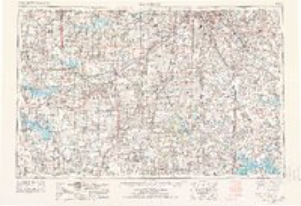
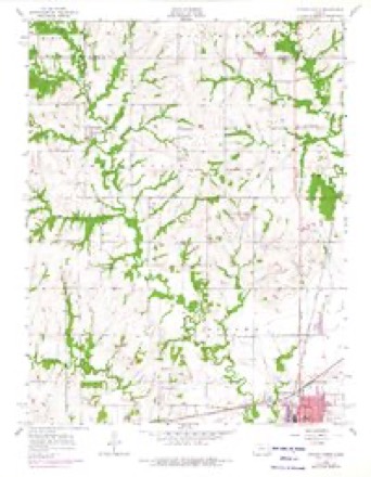
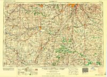
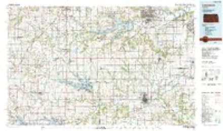
18 topographic sheets cover this place, the earliest surveyed in 1885 and the latest in 1983. It stands in Centropolis Township. It lies in ZIP code area 66067. It stands on Cole Creek. The Survey maps it on the Ottawa North quadrangle.
Topographic sheets covering this place
8 surveys from 18 printed sheetsMatched by testing this settlement's coordinate against the published boundary of every sheet in the United States Geological Survey's historical collection. Each opens the scanned sheet at the Survey.
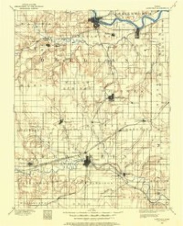
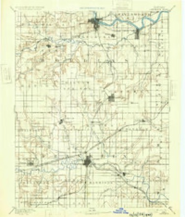
- 1885 USGS Lawrence quadrangle1:125000
- 1889 USGS Lawrence quadrangle1:125000, 6 printings
- 1947 USGS Lawrence quadrangle1:250000
- 1950 USGS Lawrence quadrangle1:250000
- 1956 USGS Lawrence quadrangle1:250000, 4 printings
- 1956 USGS Ottawa North quadrangle1:24000, 3 printings
- 1961 USGS Lawrence quadrangle1:250000
- 1983 USGS Lawrence quadrangle1:100000
Fires near this place
51 since 2015Regional context, not property-specific evidence. The federal wildfire occurrence database lists 51 fires within 5 miles of Centropolis between 2015 and 2020, burning about 1,157 acres in total. None started naturally. 8 were recorded as arson. Distance is straight-line from the map coordinates, so a fire counted here may appear on a neighbouring settlement's page as well.
| Reported cause | Fires |
|---|---|
| Debris and open burning | 26 |
| Missing data/not specified/undetermined | 14 |
| Arson/incendiarism | 8 |
| Other causes | 1 |
| Equipment and vehicle use | 1 |
| Smoking | 1 |
The most recent of them, most recent first, with the day each was reported and the service that recorded it.
| Date | Cause | Size | Reported by | Name on the report |
|---|---|---|---|---|
| 10 August 2018 | Missing data/not specified/undetermined | 15 acres | Kansas Forest Service | 191 |
| 25 July 2017 | Missing data/not specified/undetermined | 6.0 acres | Franklin County | 2017195 |
| 22 July 2017 | Equipment and vehicle use | 1.5 acres | Franklin County | 2017191 |
| 20 July 2017 | Debris and open burning | 1.5 acres | Franklin County | 2017190 |
| 8 June 2017 | Arson/incendiarism | 2.0 acres | Franklin County | 36 |
| 8 April 2017 | Missing data/not specified/undetermined | 2.0 acres | Franklin County | 2017107 |
| 7 April 2018 | Missing data/not specified/undetermined | 1.0 acres | Kansas Forest Service | 180087 |
| 7 April 2018 | Missing data/not specified/undetermined | 60 acres | Kansas Forest Service | 180088 |
Settlements close enough to share some of these fires:
Storms near this place
22 since 1993Regional context, not property-specific evidence. The National Weather Service names Centropolis in 22 storm reports between 1993 and 2023: 12 hail, 9 thunderstorm wind, 1 tornado. No death or injury is recorded in these reports. Each account below is quoted exactly as the forecast office filed it, from the NOAA Storm Events Database, and each date opens the federal record of that event.
| When | Event | Place named | Harm | What the report says |
|---|---|---|---|---|
| July 2009 | Thunderstorm Wind | Centropolis | $500,000 | The storm moved out of Franklin county and into Franklin county where it did the most damage. Many trees of greater than 36 diameter were snapped or uprooted from the storm. The heaviest damage was incurred at the Ottawa Airport where eyewitness estimates the wind speed ranged from 90 to 100 mph. Two 18 wheel trucks were reported as overturned, as a result of the strong winds as the storm crossed Interstate 35 in Ottawa. A hangar collapsed onto a collection of small aircraft at the Ottawa airport. Approximately half a dozen small aircraft were heavily damage when the structure caved in. A motel was also destroyed when the roof was completely ripped off the top of the structure. Aside from these compromised structures, a vintage DC-3 was blown by the strong winds approximately 1/2 mile from the Ottawa Airport into a near by bean field. An uncountable number of small outbuildings such as grain bins, barns, sheds, garages, and tin shelters were destroyed in the wind. Numerous telephone poles were also snapped as a result of the winds. The length of the damage path was approximately 25.5 miles long by approximately 11 miles wide. |
| March 1993 | Hail | Centropolis | $50,000 | Large hail dented some cars and roofs as it fell briefly in far western and northwest Franklin County. |
| May 2023 | Thunderstorm Wind | Centropolis | - | Estimated wind gust to 70 mph. |
| May 2020 | Thunderstorm Wind | Centropolis | - | Mesonet measured 66 mph wind gust. |
| May 2017 | Thunderstorm Wind | Centropolis | - | Estimated wind gust. |
| February 2012 | Tornado (EF1) | Centropolis | - | Franklin and Douglas County Emergency Managers surveyed damage from a tornado that crossed the border between the two counties. A very well defined and continuous swath of enhanced damage from a brief tornado was noted from both Emergency Managers. No specific town was impacted by the tornado, but many rural residences and farmsteads sustained quite a bit of damage in the form of damaged homes and destroyed outbuildings, trailers, and grain bins. |
| March 2011 | Hail | Centropolis | - | The public reported quarter sized hail covering the ground. |
| June 2009 | Thunderstorm Wind | Centropolis | - | A 10 foot by 12 foot door was blown off of the shed. |
| March 2017 | Hail | Centropolis | - | no account filed |
| September 2015 | Hail | Centropolis | - | no account filed |
| June 2013 | Hail | Centropolis | - | no account filed |
| June 2011 | Hail | Centropolis | - | no account filed |
| March 2011 | Hail | Centropolis | - | no account filed |
| May 2011 | Hail | Centropolis | - | no account filed |
| September 2007 | Thunderstorm Wind | Centropolis | - | no account filed |
| August 2003 | Hail | Centropolis | - | no account filed |
| April 2002 | Hail | Centropolis | - | no account filed |
| June 2002 | Thunderstorm Wind | Centropolis | - | no account filed |
| July 2002 | Thunderstorm Wind | Centropolis | - | no account filed |
| July 2002 | Hail | Centropolis | - | no account filed |
| September 2000 | Hail | Centropolis | - | no account filed |
| September 1998 | Thunderstorm Wind | Centropolis | - | no account filed |
Nearest settlements
The eight closest, with where each one stands in the county. Distances are straight-line, computed from the Geographic Names Information System coordinates.
| Map | Place | Distance | Sheets |
|---|---|---|---|
| Norwood | 5.5 miles | 17 | |
| Ottawa Junction | 7.1 miles | 18 | |
| Richter | 7.4 miles | 17 | |
| Ottawa | 8.2 miles | 19 | |
| Pomona | 9.2 miles | 17 | |
| Le Loup | 10.2 miles | 17 | |
| B N Junction | 11.4 miles | 19 | |
| Homewood | 14.0 miles | 17 |
Provenance
This settlement is recorded in the Geographic Names Information System as feature 479350. The sheet list is computed by point-in-boundary test against the United States Geological Survey's historical topographic inventory. Both are works of the United States government and carry no copyright under 17 U.S.C. 105.
Wildfire. Short, Karen C. 2022. Spatial wildfire occurrence data for the United States, 1992-2020 [FPA_FOD_20221014]. 6th Edition. Fort Collins, CO: Forest Service Research Data Archive. https://doi.org/10.2737/RDS-2013-0009.6 Collected with United States Government funding and usable without additional permissions or fees.
Storms. NOAA National Centers for Environmental Information, Storm Events Database https://www.ncei.noaa.gov/stormevents/ A work of the United States government, no copyright under 17 U.S.C. 105. Narratives are quoted verbatim from the National Weather Service report and are not edited or summarised.