 Block
Clinton, Kansas
20 topographic sheets cover this place, the earliest surveyed in 1885 and the latest in 1983. It stands in Clinton Township. It lies in ZIP code area 66047. It stands on Deer Creek. The Survey maps it on the Clinton quadrangle. It stands 935 feet above sea level.
On record in Clinton
Buildings and businesses the archive holds for this place. Each opens its own page, with the source record it came from.
On the National Register within a mile 1 record
The National Register names another town for these. They stand within one mile of this settlement's coordinate.
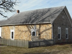 Clinton School District 25listed 1998 · 0.7 miles away
Topographic sheets covering this place
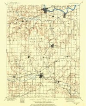
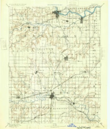
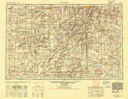
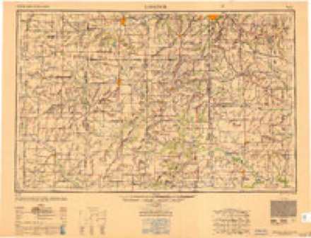
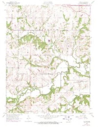
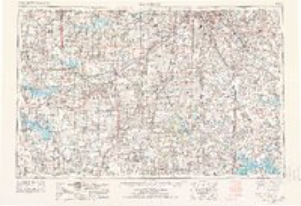
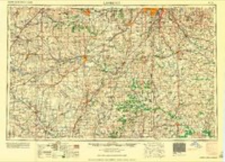
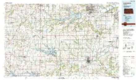
8 surveys from 20 printed sheetsMatched by testing this settlement's coordinate against the published boundary of every sheet in the United States Geological Survey's historical collection. Each opens the scanned sheet at the Survey.
- 1885 USGS Lawrence quadrangle1:125000
- 1889 USGS Lawrence quadrangle1:125000, 6 printings
- 1947 USGS Lawrence quadrangle1:250000
- 1950 USGS Lawrence quadrangle1:250000
- 1955 USGS Clinton quadrangle1:24000, 5 printings
- 1956 USGS Lawrence quadrangle1:250000, 4 printings
- 1961 USGS Lawrence quadrangle1:250000
- 1983 USGS Lawrence quadrangle1:100000
Fires near this place
61 since 2015Regional context, not property-specific evidence. The federal wildfire occurrence database lists 61 fires within 5 miles of Clinton between 2015 and 2020, burning about 1,051 acres in total. 1 started naturally. 5 were recorded as arson. Distance is straight-line from the map coordinates, so a fire counted here may appear on a neighbouring settlement's page as well.
| Reported cause | Fires |
|---|---|
| Debris and open burning | 36 |
| Missing data/not specified/undetermined | 11 |
| Equipment and vehicle use | 7 |
| Arson/incendiarism | 5 |
| Natural | 1 |
| Recreation and ceremony | 1 |
The most recent of them, most recent first, with the day each was reported and the service that recorded it.
| Date | Cause | Size | Reported by | Name on the report |
|---|---|---|---|---|
| 15 September 2015 | Debris and open burning | 3.0 acres | Kansas Forest Service | 150083 |
| 11 August 2018 | Equipment and vehicle use | 1.0 acres | Kansas Forest Service | 18059 |
| 7 July 2018 | Debris and open burning | under an acre | Kansas Forest Service | 707181 |
| 25 July 2018 | Debris and open burning | 50 acres | Kansas Forest Service | 18054 |
| 10 July 2018 | Equipment and vehicle use | 3.0 acres | Kansas Forest Service | 710182 |
| 27 June 2017 | Debris and open burning | under an acre | Douglas County | 17059 |
| 20 June 2015 | Equipment and vehicle use | under an acre | Kansas Forest Service | 620151 |
| 8 May 2017 | Arson/incendiarism | under an acre | Douglas County | 4295 |
Settlements close enough to share some of these fires:
Storms near this place
45 since 1998Regional context, not property-specific evidence. The National Weather Service names Clinton in 45 storm reports between 1998 and 2026: 22 thunderstorm wind, 20 hail, 2 tornado, 1 flash flood. The reports record 2 injuries. Each account below is quoted exactly as the forecast office filed it, from the NOAA Storm Events Database, and each date opens the federal record of that event.
| When | Event | Place named | Harm | What the report says |
|---|---|---|---|---|
| May 1999 | Thunderstorm Wind | Clinton | 2 hurt, $5,000 | Strong winds damaged 7 trailers and injured 2 people at Clinton Lake Park. |
| May 2008 | Tornado (EF2) | Clinton | $260,000 | The tornado demolished and removed a garage and two-thirds of an unoccupied house from it's foundation just after touching down. Debris from the house and the garage was strewn across a nearby field for approximately 500 yards. A metal outbuilding was destroyed near the end of the tornado path. Between these two points, moderate tree damage was noted. |
| August 2019 | Flash Flood | Clinton | $100,000 | Several homes surrounded by water due to flooding rains and back up of creek leading to Wakarusa river. Water at least one foot deep perhaps more. |
| June 2010 | Thunderstorm Wind | Clinton | $5,000 | The ASOS at Lawrence Municipal Airport reported a 58 mph wind gust, while a member of the public measured a 68 mph wind gust in Lawrence. Large trees and power lines were damaged within Lawrence. |
| September 2000 | Thunderstorm Wind | Clinton | $1,000 | Strong winds took some shingles off of a roof. |
| April 2026 | Thunderstorm Wind | Clinton | - | Power lines were downed. |
| June 2024 | Thunderstorm Wind | Clinton | - | Power line down in Clinton. Time estimated by radar. |
| July 2024 | Thunderstorm Wind | Clinton | - | Large, healthy tree down. Picture via X/Twitter. |
| June 2021 | Hail | Clinton | - | Relayed by emergency manager. |
| June 2018 | Thunderstorm Wind | Clinton | - | Estimated wind gust report. |
| June 2017 | Thunderstorm Wind | Clinton | - | Estimated wind gust. |
| May 2016 | Thunderstorm Wind | Clinton | - | Several shingles were blown off an apartment complex at 27th and Wakarusa. |
| July 2016 | Thunderstorm Wind | Clinton | - | Several shingles blown off an apartment complex at 27th and Wakarusa. |
| July 2014 | Thunderstorm Wind | Clinton | - | Wind gusts estimated. Widespread damage to large trees on the west side of Lawrence. Wind speeds in excess of 90 mph in isolated locations. |
| May 2008 | Thunderstorm Wind | Clinton | - | One large, approximately 12 inches in diameter, tree blown down. Extrememly heavy rain at the time of the report. |
| June 2008 | Thunderstorm Wind | Clinton | - | Several two to three inch diameter tree limbs blown down. |
| June 2008 | Hail | Clinton | - | Several reports of hail from the size of pennies to quarters were received. Notably, hail the size of quarters fell on campers at the Wakarusa Music Festival at Clinton Lake State Park just southwest of Lawrence. |
| March 2007 | Tornado (EF0) | Clinton | - | One home was damaged by the tornado. Two large cedar trees snapped and fell onto the home. The garage door on the south side of the home failed, and the roof over the garage was lifted off the home. Additional tree damage was observed as the tornado moved northward. |The tornado was on the ground for about 2 miles and averaged 30 yards wide. The tornado was rated EF0 and was generated by a supercell thunderstorm. |
| August 2006 | Thunderstorm Wind | Clinton | - | 6 inch tree limbs reported down at Clinton Lake. |
| July 2005 | Thunderstorm Wind | Clinton | - | Several windows blown out of homes and some small trees snapped. |
| July 2004 | Thunderstorm Wind | Clinton | - | Ten inch diameter tree limbs were blown off trees. |
| April 2026 | Thunderstorm Wind | Clinton | - | no account filed |
| September 2019 | Hail | Clinton | - | no account filed |
| June 2018 | Hail | Clinton | - | no account filed |
| September 2015 | Hail | Clinton | - | no account filed |
| September 2015 | Hail | Clinton | - | no account filed |
| April 2011 | Hail | Clinton | - | no account filed |
| April 2010 | Hail | Clinton | - | no account filed |
| April 2009 | Hail | Clinton | - | no account filed |
| April 2008 | Hail | Clinton | - | no account filed |
| July 2008 | Hail | Clinton | - | no account filed |
| June 2008 | Thunderstorm Wind | Clinton | - | no account filed |
| June 2008 | Thunderstorm Wind | Clinton | - | no account filed |
| June 2005 | Hail | Clinton | - | no account filed |
| July 2005 | Thunderstorm Wind | Clinton | - | no account filed |
| June 2005 | Hail | Clinton | - | no account filed |
| September 2005 | Hail | Clinton | - | no account filed |
| August 2004 | Hail | Clinton | - | no account filed |
| April 2003 | Hail | Clinton | - | no account filed |
| April 2000 | Hail | Clinton | - | no account filed |
| September 2000 | Hail | Clinton | - | no account filed |
| September 2000 | Hail | Clinton | - | no account filed |
| September 2000 | Hail | Clinton | - | no account filed |
| May 1999 | Thunderstorm Wind | Clinton | - | no account filed |
| October 1998 | Thunderstorm Wind | Clinton | - | no account filed |
Nearest settlements
The eight closest, with where each one stands in the county. Distances are straight-line, computed from the Geographic Names Information System coordinates.
| Map | Place | Distance | Sheets |
|---|---|---|---|
| Lone Star | 3.6 miles | 18 | |
| Kanwaka | 4.3 miles | 21 | |
| Stull | 5.4 miles | 20 | |
| Pleasant Grove | 7.5 miles | 18 | |
| Broken Arrow Park | 8.1 miles | 19 | |
| Big Springs | 8.6 miles | 24 | |
| Globe | 8.9 miles | 17 | |
| Lecompton | 9.2 miles | 24 |
Elsewhere
Matched on this settlement's Geographic Names Information System number rather than its name, so it cannot be a different place of the same name in another state.
| Wikipedia article on Clinton | An encyclopaedic summary. Its text is share-alike, so it is linked here rather than copied. |
| Wikidata item Q5134026 | The structured record the population and elevation above come from. Public domain (CC0). |
Provenance
This settlement is recorded in the Geographic Names Information System as feature 479107. The sheet list is computed by point-in-boundary test against the United States Geological Survey's historical topographic inventory. Both are works of the United States government and carry no copyright under 17 U.S.C. 105.
Wildfire. Short, Karen C. 2022. Spatial wildfire occurrence data for the United States, 1992-2020 [FPA_FOD_20221014]. 6th Edition. Fort Collins, CO: Forest Service Research Data Archive. https://doi.org/10.2737/RDS-2013-0009.6 Collected with United States Government funding and usable without additional permissions or fees.
Storms. NOAA National Centers for Environmental Information, Storm Events Database https://www.ncei.noaa.gov/stormevents/ A work of the United States government, no copyright under 17 U.S.C. 105. Narratives are quoted verbatim from the National Weather Service report and are not edited or summarised.