Block
From the record
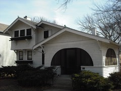
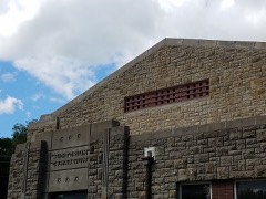
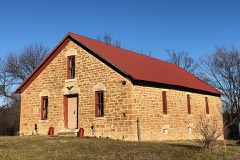
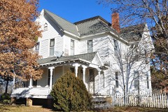
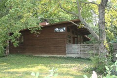
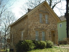
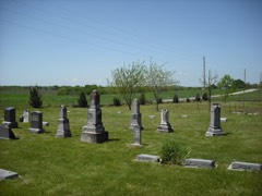
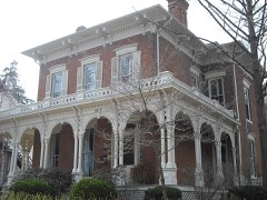
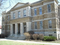
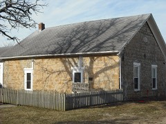
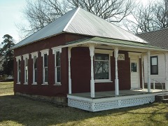
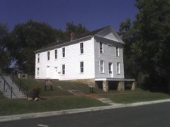
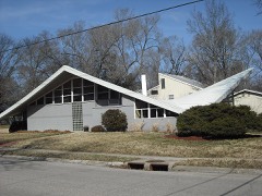
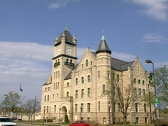
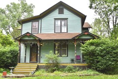
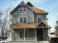
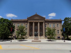
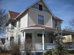
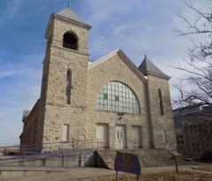
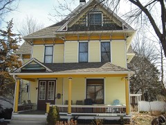
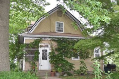
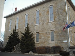
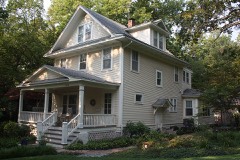
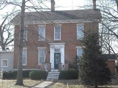
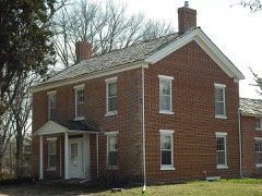
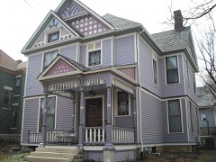
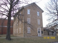
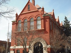
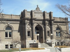
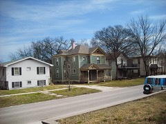
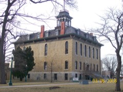
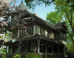
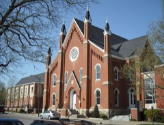
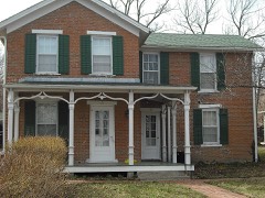
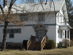
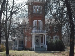
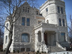
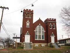
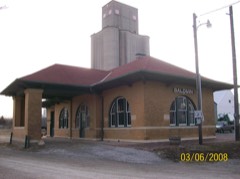
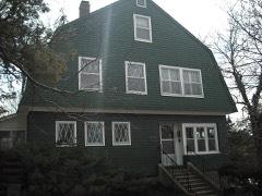
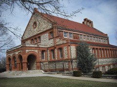
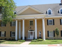
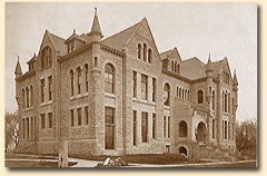
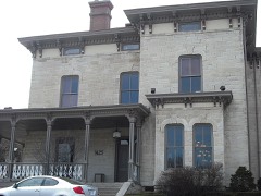
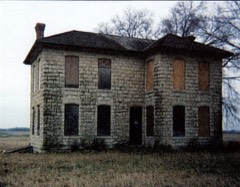
118 National Register listings published here, 3 of them National Historic Landmarks.
Sources: the National Register database, National Park Service
76 topographic sheets cover 23 settlements here, and 118 properties are on the National Register of Historic Places.
118 National Register listings published here, 3 of them National Historic Landmarks.
Sources: the National Register database, National Park Service
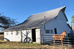
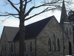
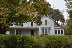
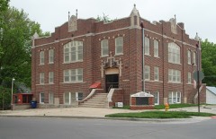
Every property in this county listed on the National Register of Historic Places, with the year it was listed and the federal nomination document.
Every wildfire the federal occurrence database records inside this county: 446 of them, burning about 3,834 acres. 2 started naturally and 62 were recorded as arson. Each settlement page carries the fires within five miles of it.
| Reported cause | Fires |
|---|---|
| Debris and open burning | 174 |
| Missing data/not specified/undetermined | 156 |
| Arson/incendiarism | 62 |
| Equipment and vehicle use | 27 |
| Smoking | 15 |
| Misuse of fire by a minor | 3 |
| Power generation/transmission/distribution | 3 |
| Natural | 2 |
| Recreation and ceremony | 2 |
| Fireworks | 2 |
The five largest, by the area the report gives. None of them was recorded as arson.
| Date | Cause | Size | Reported by | Name on the report |
|---|---|---|---|---|
| 18 March 2017 | Missing data/not specified/undetermined | 412 acres | Douglas County | 318173 |
| 1 February 2017 | Debris and open burning | 200 acres | Douglas County | 17006 |
| 7 April 2018 | Debris and open burning | 200 acres | Kansas Forest Service | 18035 |
| 15 March 2015 | Missing data/not specified/undetermined | 180 acres | Kansas Forest Service | 150031 |
| 9 March 2016 | Missing data/not specified/undetermined | 170 acres | Kansas Forest Service | 306162 |
| 19 March 2017 | Missing data/not specified/undetermined | 130 acres | Douglas County | 319172 |
| 15 March 2015 | Debris and open burning | 125 acres | Kansas Forest Service | 54 |
| 3 March 2018 | Equipment and vehicle use | 100 acres | Kansas Forest Service | 2295 |
Every settlement page carries the fires within five miles of it - see the settlement index below.
The NOAA Storm Events Database holds 894 reports for this county, causing 1 death, 81 injuries and about $62,343,000 in recorded property damage. Each settlement page carries the reports that name it.
| Kind of event | Reports |
|---|---|
| Thunderstorm Wind | 376 |
| Hail | 373 |
| Flash Flood | 62 |
| Tornado | 40 |
| Lightning | 27 |
| Flood | 9 |
| Funnel Cloud | 4 |
| Heavy Rain | 3 |
The most serious of them, by death, then injury, then recorded damage. The accounts are quoted exactly as the forecast office filed them.
| When | Event | Place named | Harm | What the report says |
|---|---|---|---|---|
| June 1981 | Tornado (F3) | not stated | 1 killed, 33 hurt, $25,000,000 | no account filed |
| May 2019 | Tornado (EF2) | Globe | 12 hurt | NWS employees surveyed the track and found damage beginning around 2 miles southeast of Overbrook that continued northeast into Douglas county. The sporadic damage path continued to just east southeast of Lone Star Lake in Douglas County where it merged with a larger circulation that eventually become the long track violent tornado. This tornado did impact vehicles in the path of the tornado resulting in several injuries. |
| May 2003 | Tornado (F2) | Lawrence | 6 hurt, $6,400,000 | A tornado touched down in the southwest part of Lawrence and did considerable damage to the area. An apartment complex suffered major damage as did several other homes and residences in the area. Six people were injured and treated at a Lawrence hospital. |
| October 1998 | Flash Flood | Lawrence | 5 hurt, $1,100,000 | no account filed |
| May 2019 | Tornado (EF3) | Lone Star | 4 hurt | This tornado appears to have formed just east of Lone Star Lake around 605 pm CDT where it absorbed a smaller circulation and associated tornado as it intensified and move northeast across Douglas county including areas just south and southeast of the city of Lawrence. The tornado became wide and intense as it moved south of Lawrence and crossed highway 10 before moving just north of Eudora and over the Kansas river into Leavenworth county. The damage path was one half to one mile at times with the most intense damage surveyed in the high end EF3 range which suggests winds of 150 to 160 mph. The tornado ended in Leavenworth county around 7 pm CDT with a path of around 28 miles total. The tornado did produce EF4 damage in Leavenworth county around Linwood Kansas. |
| March 2006 | Thunderstorm Wind | Lawrence | 3 hurt, $8,000,000 | A large portion of the city sustained damage. The governor issued a State of Disaster Emergency for Douglas County. At least three direct storm related injuries were reported. Windows were blown out of numerous cars and businesses. A trailer park also sustained damage. Numerous telephone poles and trees were blown down. Many trees and cars on the Kansas University campus were damaged. More than 70 of Kansas University's 116 buildings received some damage. Many homes in the city also sustained damage. Video of the event indicated a microburst with winds of 70 to 90 mph. Several notable events reflected the severity of the wind damage. A heating/cooling unit was blown from the roof of a campus residence hall and landed on a car. Several semi-trucks were blown onto their sides. Two brick spires were toppled from one of the city's oldest churches dating back to 1870. Two 60 foot tall silos at a country market near Lawrence were destroyed. Three 500 pound ventilators atop a junior high building were blown off the roof...one landing nearly 100 yards away. Each ventilator was 6 feet tall and 5 feet wide. The emergency manager of Douglas county estimated total damage at 8 million dollars of which 6 million dollars occurred on the Kansas University campus alone. |
| April 1964 | Tornado (F3) | not stated | 3 hurt, $2,500,000 | no account filed |
| June 1996 | Flash Flood | Lawrence | 3 hurt, $2,000,000 | no account filed |
| July 1969 | Tornado (F2) | not stated | 2 hurt, $250,000 | no account filed |
| May 1952 | Tornado (F4) | not stated | 2 hurt, $250,000 | no account filed |
| May 1997 | Thunderstorm Wind | Lawrence | 2 hurt, $10,000 | no account filed |
| May 1999 | Thunderstorm Wind | Clinton | 2 hurt, $5,000 | Strong winds damaged 7 trailers and injured 2 people at Clinton Lake Park. |
| May 1977 | Tornado (F3) | not stated | 1 hurt, $2,500,000 | no account filed |
| July 1994 | Thunderstorm Wind | Clinton State Park | 1 hurt, $50,000 | Very high winds, initially estimated at 110 mph, caused significant damage in the state park to campers, tenets, RV's, some buildings and the marina/dock area. One young boy was hit by flying debris and required several stitches to close the cut on his head. |
| July 2023 | Thunderstorm Wind | Lawrence | 1 hurt | Numerous trees and powerlines down. A car was blown off of US highway 59 into a creek with one injury reported. |
| August 2002 | Lightning | Lawrence | 1 hurt | Lightning struck a tree, then passed through the air and struck the umbrella of a nearby female passerby producing minor injuries to the 21 year old female. |
| April 2006 | Hail | Lawrence | $4,000,000 | Between 8:50 pm cst and 9:03 pm cst, many reports of hail ranging from 0.75" to 2.50" in diameter were received from the city of Lawrence as a supercell thunderstorm moved through. The largest reported hail fell on the campus of Kansas University. State Farm Insurance reported an expected $1.8 million in auto claims for damaged vehicles; American Family Insurance was expecting up to 600 auto claims and 300 home claims to be filed. |
| November 1998 | Flash Flood | Lawrence | $2,500,000 | no account filed |
| May 1995 | Thunderstorm Wind | Globe | $1,800,000 | A 1.5 mile wide swath of very strong straight line or downburst winds moved west to east across the southern section of the county, just south of US Highway 56. Numerous homes, buildings, farms and barns reported varying degrees of damage. Crops in the area were also damaged or destroyed. This supercell storm also produced a brief tornado near Baldwin City (see other entries for details). |
| May 1995 | Tornado (F1) | Baldwin City | $1,000,000 | A small tornado formed along the north edge of a strong downburst and moved mainly across open fields. The tornado skipped across the county destroying several farm buildings, a motorhome and farm equipment. However, with widespread straightline wind damage in the area, it was difficult to distinguish between the cause(s) of the damage. The most significant damage occurred along and about one to two miles west of highway 33. |
| March 1997 | Hail | Lawrence | $1,000,000 | no account filed |
| July 1994 | Thunderstorm Wind | Lawrence | $500,000 | Winds estimated to near 80 mph caused widespread tree, power line and structural damage in and around the city of Lawrence. Most of the city was without power for several hours. |
| September 1993 | Hail | Big Springs | $500,000 | The supercell thunderstorm that moved across parts of northeast Kansas hit the northern half of Douglas County including the city of Lawrence at late afternoon. Numerous and widespread reports of large hail and winds clocked at 66kts caused significant and large scale damage from near Le Compton to Lawrence to Eudora. Many power lines were brought down along with trees and large limbs. Hail damage was common across Lawrence. Torrential rainfall in a short time flooded many roads. In some areas, winds were estimated at 100 mph. The storm briefly stalled across the northwest part of the county before regenerating and moving slow east again. |
| May 2008 | Tornado (EF2) | Clinton | $260,000 | The tornado demolished and removed a garage and two-thirds of an unoccupied house from it's foundation just after touching down. Debris from the house and the garage was strewn across a nearby field for approximately 500 yards. A metal outbuilding was destroyed near the end of the tornado path. Between these two points, moderate tree damage was noted. |
| May 2007 | Flood | Lawrence | $255,000 | Report that several county roads are closed due to water covering the roads. Also several road closures within Lawrence city limits. Report of a non-emergency water rescue for a resident who had water all around their house. Lowland flooding along immediate reach of the Kansas River due to moderate or greater flooding. |
| August 2019 | Flash Flood | Lone Star | $250,000 | Serious flash flooding of 12 to 20 homes in lone star impacted by flood waters. 11 water rescues took place during the overnight hours across douglas county. Waters receded by midday. |
| March 1990 | Tornado (F1) | not stated | $250,000 | no account filed |
| May 1980 | Tornado (F2) | not stated | $250,000 | no account filed |
| August 1962 | Tornado (F3) | not stated | $250,000 | no account filed |
| August 2019 | Flash Flood | Clinton | $100,000 | Several homes surrounded by water due to flooding rains and back up of creek leading to Wakarusa river. Water at least one foot deep perhaps more. |
| August 2019 | Flash Flood | Lone Star | $100,000 | Report of several homes surrounded by water in the town of lone star. Pictures on social media suggest the water is several feet deep. |
| August 2019 | Flash Flood | Lone Star | $100,000 | Three water rescues have occurred near Washington creek south of lone star. The first was in a home, the second in a vehicle and the third was a citizen trapped on a bridge. In addition, numerous roads in southwestern Douglas county are closed. |
| June 2007 | Flash Flood | Lone Star | $100,000 | County road 1 closed one mile north of Globe. Water flowing over the road from the Lone Star spillway. Numerous reports of flash flooding over roadways east of Vinland to the Clinton Lake area including inundation of low water crossings. | |
| June 2005 | Flash Flood | Lawrence | $100,000 | At least six inches of fast flowing water over highway 59. |
| July 2004 | Flash Flood | Lawrence | $75,000 | Heavy rains produced flash flooding in northern Douglas county. In Lawrence motorists were stranded due to fast rising water and rescue efforts were required. Northwest of Lawrence at Lake View water was reported one and one half feet over a roadway. At the east edge of Eudora water was reported running over a county road. Occupants of a building near Lawrence were stranded due to high water and had to be rescued. |
| October 1998 | Tornado (F1) | Lawrence | $75,000 | An F1 tornado traveled intermittantly for 6 miles. One home was destroyed and 8 to 10 other buildings were damaged in various degrees. |
| September 1998 | Lightning | Lawrence | $60,000 | Lightning struck a business and started a fire which did about 60 thousand dollars damage. |
| May 2007 | Flash Flood | Lawrence | $50,000 | Water reported flowing over 23rd and Ousdahl roads in town. Officials reportedly putting up barricades around this intersection. |
| August 2005 | Flash Flood | Lawrence | $50,000 | Four feet of water under railroad tracks north end of Lawrence with many intersections flooded by fast flowing water resulting from nearly four inches of rain. |
| June 1994 | Thunderstorm Wind | Lawrence | $50,000 | Winds estimated at 70 mph caused widespread damage to trees, tree limbs, power lines, and buildings in and around the Lawrence area during the midday hour. Hail up to one inch was also reported. |
| June 1996 | Lightning | Eudora | $50,000 | no account filed |
| October 1996 | Lightning | Lawrence | $50,000 | no account filed |
| June 2007 | Flash Flood | Baldwin | $30,000 | Three to four feet of water reported running over N 200 road and E 110 road to a width of a quarter mile. |
| June 1998 | Thunderstorm Wind | Lawrence | $30,000 | no account filed |
| September 2001 | Thunderstorm Wind | Lawrence | $27,000 | Strong winds flipped a construction trailer onto a nearby street. A metal sign was also blown down on some cars at a dealership doing considerable damage. |
| May 2010 | Thunderstorm Wind | Globe | $25,000 | A cement block silo was blown down. Several grain bins and tin sheds were damaged. Tin debris was blown nearly a quarter of a mile downstream. The house on the farm property had several windows broken out on its southern side. Several tree branches around 6 inches in diameter were blown down as well. The survey team estimated 75 to 80 mph winds at the residence. |
| March 1991 | Tornado (F0) | not stated | $25,000 | no account filed |
| April 2026 | Flash Flood | Lawrence | $20,000 | Water rescue of a stranded motorist in deep water near Iowa street. |
| April 2026 | Flash Flood | Lawrence Arpt | $20,000 | Water rescue of a stranded motorist at US 24 Highway and US 59 highway east of E1400 road. |
| June 2004 | Thunderstorm Wind | Lecompton | $20,000 | Strong winds moved across northern Douglas county doing considerable damage. A stock trailer was overturned near Lecompton, and considerable tree limb and power line damage occurred in Lawrence. Crops suffered considerable damage as well. |
| June 2003 | Lightning | Big Spgs | $20,000 | Lightning struck a house and started a fire that did major damage to the residence. |
| September 2001 | Thunderstorm Wind | Baldwin | $20,000 | Strong winds blew down a tree onto a truck totally destroying the truck. A shed was also blown against a house with a piece of the shed ending up in a nearby garage. |
| April 1995 | Thunderstorm Wind | Baldwin City | $20,000 | High winds tore down power poles and lines knocking out electricity for several hours. |
| June 1999 | Lightning | Big Spgs | $15,000 | Lightning struck a business and ignited a fire which consumed the building. |
| March 1997 | Lightning | Lawrence | $13,000 | no account filed |
| May 1999 | Lightning | Lawrence | $12,000 | Lightning struck twice, once to a hotel doing an estimated 10 thousand dollars damage and once to a residence doing an estimated 2 thousand dollars damage. |
| August 2005 | Heavy Rain | Lawrence | $10,000 | One indirect injury during very heavy rain due to hydroplaning of vehicle. |
| August 2004 | Lightning | Lawrence | $10,000 | Lightning struck a house and started a fire that did considerable damage. |
| July 2002 | Thunderstorm Wind | Worden | $10,000 | Strong winds destroyed a barn near Worden. |
| June 1997 | Thunderstorm Wind | Lawrence | $10,000 | no account filed |
The Survey's mineral resources record lists 1 working inside this county. It still produces. Each settlement page carries the workings within five miles of it.
| Commodity | Workings |
|---|---|
| Stone, Crushed/Broken | 1 |
The least common of them first, because a county's hundredth gravel pit says nothing its first ten did not.
| Where | Site | Commodity | Status | Recorded |
|---|---|---|---|---|
| Lawrence Quarry & Mill No.16 | Stone, Crushed/Broken | Producer |
Named settlements recorded in the Geographic Names Information System, each with the topographic sheets covering it. Villages, hamlets and abandoned places alike. Each is shown with the nearest named watercourse or landform and the survey quadrangle it falls on.
Grant township · 66044 · On Burroughs Creek · Lawrence East quadrangle
19 sheets, 1885 to 1983
Wakarusa township · 66046 · Near Blue Mound · Lawrence East quadrangle
19 sheets, 1885 to 1983