 Block
Stull, Kansas
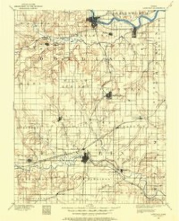
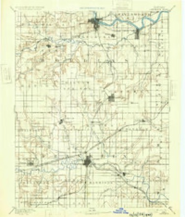
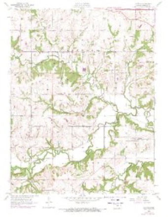
20 topographic sheets cover this place, the earliest surveyed in 1885 and the latest in 1983. It stands in Kanwaka Township. It lies in ZIP code area 66050. The Survey maps it on the Clinton quadrangle.
Topographic sheets covering this place
8 surveys from 20 printed sheetsMatched by testing this settlement's coordinate against the published boundary of every sheet in the United States Geological Survey's historical collection. Each opens the scanned sheet at the Survey.
- 1885 USGS Lawrence quadrangle1:125000
- 1889 USGS Lawrence quadrangle1:125000, 6 printings
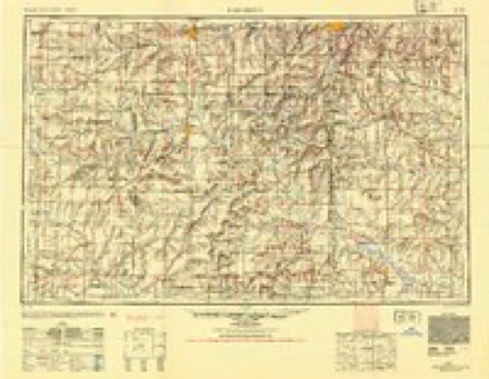
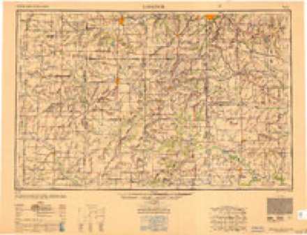
- 1947 USGS Lawrence quadrangle1:250000
- 1950 USGS Lawrence quadrangle1:250000
- 1955 USGS Clinton quadrangle1:24000, 5 printings
- 1956 USGS Lawrence quadrangle1:250000, 4 printings
- 1961 USGS Lawrence quadrangle1:250000
- 1983 USGS Lawrence quadrangle1:100000
Fires near this place
94 since 2015Regional context, not property-specific evidence. The federal wildfire occurrence database lists 94 fires within 5 miles of Stull between 2015 and 2020, burning about 1,680 acres in total. 1 started naturally. 5 were recorded as arson. Distance is straight-line from the map coordinates, so a fire counted here may appear on a neighbouring settlement's page as well.
| Reported cause | Fires |
|---|---|
| Debris and open burning | 41 |
| Missing data/not specified/undetermined | 41 |
| Arson/incendiarism | 5 |
| Equipment and vehicle use | 3 |
| Natural | 1 |
| Recreation and ceremony | 1 |
| Fireworks | 1 |
| Smoking | 1 |
The most recent of them, most recent first, with the day each was reported and the service that recorded it.
| Date | Cause | Size | Reported by | Name on the report |
|---|---|---|---|---|
| 15 September 2018 | Debris and open burning | 10 acres | Kansas Forest Service | 1017 |
| 15 September 2015 | Debris and open burning | 3.0 acres | Kansas Forest Service | 150083 |
| 5 August 2015 | Missing data/not specified/undetermined | under an acre | Kansas Forest Service | 184 |
| 3 August 2018 | Missing data/not specified/undetermined | under an acre | Kansas Forest Service | 18058 |
| 13 August 2018 | Fireworks | under an acre | Kansas Forest Service | 900 |
| 11 August 2018 | Equipment and vehicle use | 1.0 acres | Kansas Forest Service | 18059 |
| 25 July 2018 | Debris and open burning | 50 acres | Kansas Forest Service | 18054 |
| 23 June 2017 | Debris and open burning | under an acre | Shawnee County | 628 |
Settlements close enough to share some of these fires:
Storms near this place
13 since 2000Regional context, not property-specific evidence. The National Weather Service names Stull in 13 storm reports between 2000 and 2023: 8 thunderstorm wind, 4 hail, 1 flood. No death or injury is recorded in these reports. Each account below is quoted exactly as the forecast office filed it, from the NOAA Storm Events Database, and each date opens the federal record of that event.
| When | Event | Place named | Harm | What the report says |
|---|---|---|---|---|
| July 2023 | Thunderstorm Wind | Stull | - | Measured on a personal weather station. |
| December 2021 | Thunderstorm Wind | Stull | - | Measured at mesonet station k5007 I-70 bridge over Edgewood Road. |
| April 2016 | Hail | Stull | - | Time based on radar. |
| July 2016 | Thunderstorm Wind | Stull | - | Wind gust measured by a Mesonet site. |
| June 2011 | Thunderstorm Wind | Stull | - | A law enforcement officer reported trees down along N 2190 Road near Lecompton. |
| July 2010 | Flood | Stull | - | The county Sheriff Office reported water over Highway 40 and 600 road, west of Lawrence. |
| July 2009 | Thunderstorm Wind | Stull | - | The National Weather Service office only received small hail reports and sub-severe wind reports as the storm moved southeast through northeastern Kansas. As the storm passed over Interstate 70, the winds picked up and did minor damage to areas west and southwest of Lawrence. SHAVE reports indicate that heavier damage occurred as the storm continued southwest of Lawrence and snapped a 12 diameter tree. The length of the damage path through Douglas County from the storm was about 17 miles long by approximately 6 miles wide. |
| May 2008 | Thunderstorm Wind | Stull | - | The first signs of strong wind damage along this path were noted at a farm on E 250 Road. The gusts then pushed into the city of Lawrence. Damage was reported across Lawrence as a result of the severe thunderstorm winds. Large tree limbs were reported down on the north side of the city. Several businesses lost their signs or awnings, and received minor damage to the building. Power flashes were noted by a motorist driving along Interstate 70 near mile marker 201. A spotter had been driving along 6th Street near Wakarusa when strong winds overtook his car and forced him to pull over. He estimated wind speeds around 80 miles per hour, and possibly stronger. One transformer was blown near this location. Power outages across the city affected 8400 residences. A deck roof was blown over a house at another residence. A mobile home on First Street in North Lawrence was heavily damaged when a tree fell onto the bedroom portion of the trailer. Eighteen to twenty inch diameter trees were blown down at the intersections of 6th Street and Queens Road, and at 6th Street and Iowa. A tractor trailer was also reported to have been blown over in north Lawrence. At least one tree fell onto a home and caused damage. The Langston Hughes School gymnasium on the west side of town sustained approximately eighty thousand dollars in roof damage. |
| February 2012 | Hail | Stull | - | no account filed |
| April 2011 | Hail | Stull | - | no account filed |
| May 2005 | Thunderstorm Wind | Stull | - | no account filed |
| February 2002 | Hail | Stull | - | no account filed |
| June 2000 | Thunderstorm Wind | Stull | - | no account filed |
Nearest settlements
The eight closest, with where each one stands in the county. Distances are straight-line, computed from the Geographic Names Information System coordinates.
| Map | Place | Distance | Sheets |
|---|---|---|---|
| Big Springs | 3.3 miles | 24 | |
| Kanwaka | 4.4 miles | 21 | |
| Clinton | 5.4 miles | 20 | |
| Lecompton | 6.0 miles | 24 | |
| Grover | 6.1 miles | 24 | |
| Lone Star | 9.0 miles | 18 | |
| Lawrence | 11.7 miles | 19 | |
| Broken Arrow Park | 11.8 miles | 19 |
Provenance
This settlement is recorded in the Geographic Names Information System as feature 479114. The sheet list is computed by point-in-boundary test against the United States Geological Survey's historical topographic inventory. Both are works of the United States government and carry no copyright under 17 U.S.C. 105.
Wildfire. Short, Karen C. 2022. Spatial wildfire occurrence data for the United States, 1992-2020 [FPA_FOD_20221014]. 6th Edition. Fort Collins, CO: Forest Service Research Data Archive. https://doi.org/10.2737/RDS-2013-0009.6 Collected with United States Government funding and usable without additional permissions or fees.
Storms. NOAA National Centers for Environmental Information, Storm Events Database https://www.ncei.noaa.gov/stormevents/ A work of the United States government, no copyright under 17 U.S.C. 105. Narratives are quoted verbatim from the National Weather Service report and are not edited or summarised.