 Block
Elkader, Kansas
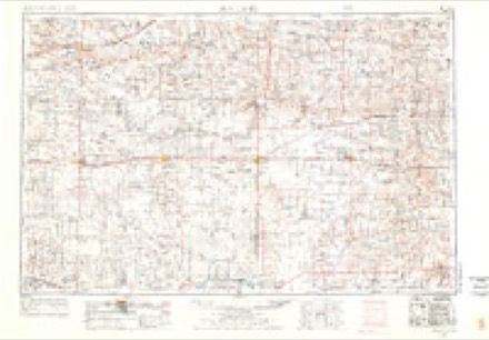
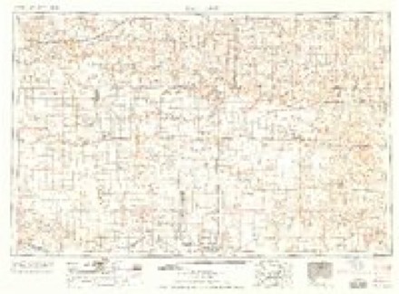
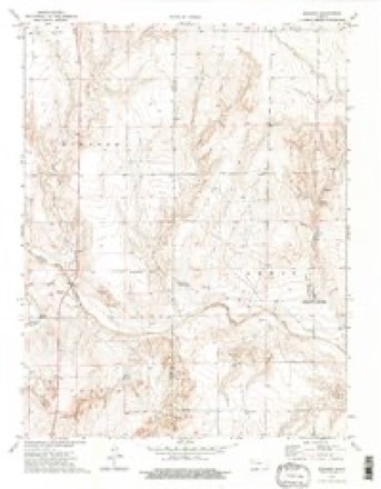
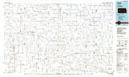
9 topographic sheets cover this place, the earliest surveyed in 1955 and the latest in 1985. It stands in Elkader Township. It lies in ZIP code area 67764. It stands on Ladder Creek. The Survey maps it on the Elkader quadrangle.
Topographic sheets covering this place
4 surveys from 9 printed sheetsMatched by testing this settlement's coordinate against the published boundary of every sheet in the United States Geological Survey's historical collection. Each opens the scanned sheet at the Survey.
- 1955 USGS Scott City quadrangle1:250000, 4 printings
- 1958 USGS Scott City quadrangle1:250000
- 1974 USGS Elkader quadrangle1:24000, 2 printings
- 1985 USGS Healy quadrangle1:100000, 2 printings
Storms near this place
33 since 1996Regional context, not property-specific evidence. The National Weather Service names Elkader in 33 storm reports between 1996 and 2025: 18 hail, 7 thunderstorm wind, 3 tornado, 3 flood. No death or injury is recorded in these reports. Each account below is quoted exactly as the forecast office filed it, from the NOAA Storm Events Database, and each date opens the federal record of that event.
| When | Event | Place named | Harm | What the report says |
|---|---|---|---|---|
| May 2025 | Tornado (EF2) | Elkader | $50,000 | Continuation and ending of track coming out of Scott County. This tornado destroyed oil an oil battery near Little Jerusalem Park, and damaged items at the park entrance that were bolted into concrete. Strength taken from DDC survey. Track estimated from rotation on radar, arial photos, and the few damage reports that were received. |
| July 2024 | Thunderstorm Wind | Elkader | $50,000 | A semi truck hauling a wind turbine blade was overturned due to straight line winds on Hwy 83 near the Smoky Hill River bridge. |
| June 2014 | Tornado (EF1) | Elkader | $50,000 | Garage and barn destroyed near Rd 310 and Rd Bison. Roof of residence damaged by numerous 2x4s which penetrated roof and ceiling. No injuries reported. |
| June 2014 | Thunderstorm Wind | Elkader | $15,000 | A semitrailer was rolled over due to strong thunderstorm outflow at mile marker 130 on highway 83. Time of report estimated from Doppler radar. |
| April 2024 | Lightning | Elkader | $5,000 | A lightning strike started an oil tank battery on fire in southern Logan County. The fire burned for about an hour before being extinguished. |
| May 2025 | Hail | Elkader | - | A public report of nickel size hail was reported along Highway 83. |
| May 2025 | Hail | Elkader | - | A social media report from a storm chaser with a video of the hail was reported. This was with a different storm than the earlier nickel size hail report at the same location. |
| May 2024 | Hail | Elkader | - | Quarter sized hail was reported on Highway 83. |
| July 2024 | Thunderstorm Wind | Elkader | - | Picture of a tree broken/bent about half way down the trunk. |
| April 2022 | Thunderstorm Wind | Elkader | - | Measured by a hand anemometer. |
| July 2022 | Thunderstorm Wind | Elkader | - | Off-duty NWS employee observed estimated 80 mph winds on US Highway 83. |
| July 2022 | Hail | Elkader | - | Off-duty NWS employee observed ping pong ball sized hail on US Highway 83. |
| June 2022 | Thunderstorm Wind | Elkader | - | Report received via social media from a trained spotter of a measured 63 mph thunderstorm wind gust at location. Near zero visibility also reported due to blowing dust. Event time is estimated by radar. |
| May 2021 | Thunderstorm Wind | Elkader | - | A supercell thunderstorm produced estimated wind gusts of 50-60 mph and pea sized hail. |
| May 2021 | Hail | Elkader | - | A supercell thunderstorm produced up to penny sized hail and heavy rain along US-83. |
| July 2020 | Hail | Elkader | - | Pea to quarter size hail reported at location. |
| June 2020 | Hail | Elkader | - | Storm Chaster reported ping pong ball sized hail falling on US 83. |
| September 2019 | Flood | Elkader | - | The USGS river gauge at the intersection of the Smoky Hill River and US Hwy 83 in southwest Logan County reported a brief period of above flood stage levels. An employee from NWS Goodland took photos and videos of this area on the morning of September 10th in addition to receiving multiple reports and pictures from emergency management and the public of flooding in this area. |
| May 2016 | Hail | Elkader | - | Mostly pea size hail with some quarter size hail mixed in. |
| May 2016 | Flood | Elkader | - | Prolonged heavy rainfall of around two inches fell over the flash flood area. However the corridor of heavy rainfall followed the channel of Plum Creek upstream, further aiding in flooding downstream and causing the flooding to last into the next morning. A photo sent in the day after the heavy rainfall occurred showed flood waters were still over the road in two locations, just west and just south of the CR Quail/CR 430 intersection where the Plum Creek crosses under the road. |
| May 2016 | Flood | Elkader | - | A photo sent in the day after the heavy rainfall occurred showed flood waters were still over the road in two locations, just west and just south of the CR Quail/CR 430 intersection where the Plum Creek crosses under the road. |
| May 2016 | Flash Flood | Elkader | - | Prolonged heavy rainfall of around two inches fell over the flash flood area. However the corridor of heavy rainfall followed the channel of Plum Creek upstream, further aiding in flooding downstream. A photo sent in the day after the heavy rainfall occurred showed flood waters were still over the road in two locations, just west and just south of the CR Quail/CR 430 intersection where the Plum Creek crosses under the road. |
| May 2010 | Hail | Elkader | - | Report sent via NSSL shave project. |
| May 2010 | Tornado (EF0) | Elkader | - | This tornado lasted approximately 3 minutes and remained over open fields with no known damage. |
| May 2018 | Hail | Elkader | - | no account filed |
| May 2018 | Hail | Elkader | - | no account filed |
| June 2018 | Hail | Elkader | - | no account filed |
| May 2016 | Hail | Elkader | - | no account filed |
| June 2014 | Hail | Elkader | - | no account filed |
| May 2010 | Hail | Elkader | - | no account filed |
| May 2010 | Hail | Elkader | - | no account filed |
| July 1996 | Hail | Elkader | - | no account filed |
| July 1996 | Hail | Elkader | - | no account filed |
Nearest settlements
The eight closest, with where each one stands in the county. Distances are straight-line, computed from the Geographic Names Information System coordinates.
| Map | Place | Distance | Sheets |
|---|---|---|---|
| Russell Springs | 19.0 miles | 8 | |
| Monument | 22.9 miles | 7 | |
| Oakley | 23.5 miles | 7 | |
| Page City | 25.5 miles | 7 | |
| Winona | 27.7 miles | 7 | |
| McAllaster | 31.8 miles | 8 |
Provenance
This settlement is recorded in the Geographic Names Information System as feature 484555. The sheet list is computed by point-in-boundary test against the United States Geological Survey's historical topographic inventory. Both are works of the United States government and carry no copyright under 17 U.S.C. 105.
Storms. NOAA National Centers for Environmental Information, Storm Events Database https://www.ncei.noaa.gov/stormevents/ A work of the United States government, no copyright under 17 U.S.C. 105. Narratives are quoted verbatim from the National Weather Service report and are not edited or summarised.