 Block
Kingsdown, Kansas
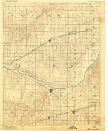
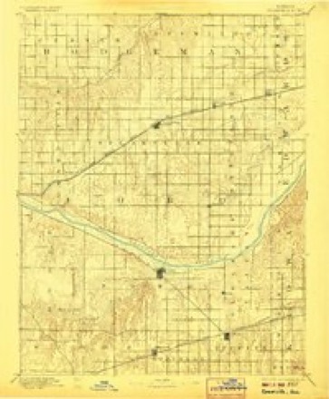
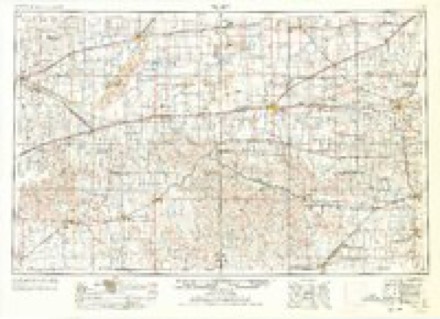
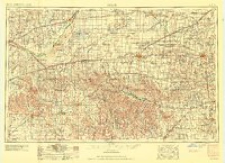
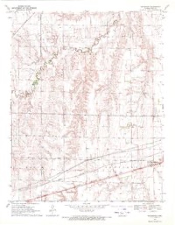
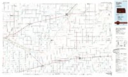
13 topographic sheets cover this place, the earliest surveyed in 1892 and the latest in 1985. It stands in Sodville Township. It lies in ZIP code area 67842. The Survey maps it on the Kingsdown quadrangle.
Topographic sheets covering this place
6 surveys from 13 printed sheetsMatched by testing this settlement's coordinate against the published boundary of every sheet in the United States Geological Survey's historical collection. Each opens the scanned sheet at the Survey.
- 1892 USGS Spearville quadrangle1:125000
- 1894 USGS Spearville quadrangle1:125000, 4 printings
- 1955 USGS Pratt quadrangle1:250000, 3 printings
- 1959 USGS Pratt quadrangle1:250000, 2 printings
- 1969 USGS Kingsdown quadrangle1:24000
- 1985 USGS Kinsley quadrangle1:100000, 2 printings
Storms near this place
56 since 1994Regional context, not property-specific evidence. The National Weather Service names Kingsdown in 56 storm reports between 1994 and 2025: 34 hail, 16 thunderstorm wind, 2 flash flood, 2 tornado. No death or injury is recorded in these reports. Each account below is quoted exactly as the forecast office filed it, from the NOAA Storm Events Database, and each date opens the federal record of that event.
| When | Event | Place named | Harm | What the report says |
|---|---|---|---|---|
| April 2001 | Tornado (F2) | Kingsdown | $425,000 | Eight pivot sprinklers were destroyed along with a barn and silo. |
| July 1997 | Thunderstorm Wind | Kingsdown | $8,000 | One half mile of power poles blown down. |
| July 1997 | Thunderstorm Wind | Kingsdown | $5,000 | Pivot irrigation system overturned. |
| August 2025 | Thunderstorm Wind | Kingsdown | - | Twenty-five freight cars were derailed on highway 54 east of Kingsdown. |
| May 2024 | Hail | Kingsdown | - | Skylights were broken. Window panes were broken and window frames dented. |
| July 2023 | Thunderstorm Wind | Kingsdown | - | Strong winds. |
| June 2020 | Thunderstorm Wind | Kingsdown | - | Winds were estimated to be 50 to 60 MPH. |
| May 2018 | Thunderstorm Wind | Kingsdown | - | Shed was damaged with debris scattered around 3/4 of a mile. It was an apparent rear flank downdraft that caused the damage. |
| May 2018 | Thunderstorm Wind | Kingsdown | - | Ten power poles were broken by high wind. |
| May 2017 | Funnel Cloud | Kingsdown | - | A funnel cloud was halfway to the ground. |
| July 2013 | Thunderstorm Wind | Kingsdown | - | Winds were estimated to be greater than 60 MPH. |
| August 2013 | Flash Flood | Kingsdown | - | Water was running over the road near the intersection of road 125 and Wirlwind road. |
| July 2013 | Thunderstorm Wind | Kingsdown | - | Power poles were snapped and guttering was blown off the house. |
| August 2013 | Heavy Rain | Kingsdown | - | Rainfall of 4.80 inches was reported. |
| April 2012 | Hail | Kingsdown | - | The hail was mainly pea to penny size but with bigger stones and it covered the ground to 1 inch in depth. |
| April 2012 | Hail | Kingsdown | - | Windows were knocked out by the hail. |
| April 2006 | Thunderstorm Wind | Kingsdown | - | An antenna was ripped from the from the wind. |
| June 2004 | Thunderstorm Wind | Kingsdown | - | A semi truck was blown off highway 54 |
| May 2002 | Tornado (F0) | Kingsdown | - | This tornado did not hit anything to receive a rating other than zero. |
| May 1997 | Flash Flood | Kingsdown | - | Water over highway 94. |
| July 1995 | Hail | Kingsdown | - | Thunderstorm wind of near 100 mph caused extensive damage to fences. Once filling station canopy was downed and it landed on two occupied vehicles but there were no injuries. One roof was taken off a house with debris scattered several hundred yards. A large storage shed was heavily damaged with two motor homes inside receiving extensive damage. Debris was carried one-quarter of a mile. |
| July 1995 | Hail | Kingsdown | - | Thunderstorm wind of near 100 mph caused extensive damage to fences. Once filling station canopy was downed and it landed on two occupied vehicles but there were no injuries. One roof was taken off a house with debris scattered several hundred yards. A large storage shed was heavily damaged with two motor homes inside receiving extensive damage. Debris was carried one-quarter of a mile. |
| July 1995 | Hail | Kingsdown | - | Thunderstorm wind of near 100 mph caused extensive damage to fences. Once filling station canopy was downed and it landed on two occupied vehicles but there were no injuries. One roof was taken off a house with debris scattered several hundred yards. A large storage shed was heavily damaged with two motor homes inside receiving extensive damage. Debris was carried one-quarter of a mile. |
| May 2024 | Thunderstorm Wind | Kingsdown | - | no account filed |
| June 2023 | Thunderstorm Wind | Kingsdown | - | no account filed |
| June 2023 | Thunderstorm Wind | Kingsdown | - | no account filed |
| May 2022 | Hail | Kingsdown | - | no account filed |
| May 2018 | Hail | Kingsdown | - | no account filed |
| May 2018 | Hail | Kingsdown | - | no account filed |
| May 2017 | Hail | Kingsdown | - | no account filed |
| May 2016 | Hail | Kingsdown | - | no account filed |
| May 2015 | Hail | Kingsdown | - | no account filed |
| June 2015 | Hail | Kingsdown | - | no account filed |
| May 2013 | Hail | Kingsdown | - | no account filed |
| May 2013 | Hail | Kingsdown | - | no account filed |
| May 2013 | Hail | Kingsdown | - | no account filed |
| August 2012 | Hail | Kingsdown | - | no account filed |
| September 2010 | Hail | Kingsdown | - | no account filed |
| May 2010 | Hail | Kingsdown | - | no account filed |
| May 2008 | Hail | Kingsdown | - | no account filed |
| May 2007 | Hail | Kingsdown | - | no account filed |
| May 2007 | Hail | Kingsdown | - | no account filed |
| May 2007 | Hail | Kingsdown | - | no account filed |
| May 2007 | Hail | Kingsdown | - | no account filed |
| April 2006 | Hail | Kingsdown | - | no account filed |
| July 2003 | Thunderstorm Wind | Kingsdown | - | no account filed |
| May 1998 | Hail | Kingsdown | - | no account filed |
| May 1998 | Hail | Kingsdown | - | no account filed |
| May 1998 | Hail | Kingsdown | - | no account filed |
| June 1998 | Hail | Kingsdown | - | no account filed |
| June 1998 | Thunderstorm Wind | Kingsdown | - | no account filed |
| May 1997 | Hail | Kingsdown | - | no account filed |
| June 1996 | Hail | Kingsdown | - | no account filed |
| June 1996 | Hail | Kingsdown | - | no account filed |
| March 1995 | Hail | Kingsdown | - | no account filed |
| May 1994 | Hail | Kingsdown | - | no account filed |
Nearest settlements
The eight closest, with where each one stands in the county. Distances are straight-line, computed from the Geographic Names Information System coordinates.
| Map | Place | Distance | Sheets |
|---|---|---|---|
| Bucklin | 6.8 miles | 13 | |
| Ford | 7.7 miles | 14 | |
| Bloom | 7.8 miles | 11 | |
| Wilroads | 14.1 miles | 14 | |
| Wilroads Gardens | 16.6 miles | 14 | |
| Fort Dodge | 17.1 miles | 14 | |
| Windhorst | 19.0 miles | 13 | |
| Wright | 19.0 miles | 13 |
Provenance
This settlement is recorded in the Geographic Names Information System as feature 474247. The sheet list is computed by point-in-boundary test against the United States Geological Survey's historical topographic inventory. Both are works of the United States government and carry no copyright under 17 U.S.C. 105.
Storms. NOAA National Centers for Environmental Information, Storm Events Database https://www.ncei.noaa.gov/stormevents/ A work of the United States government, no copyright under 17 U.S.C. 105. Narratives are quoted verbatim from the National Weather Service report and are not edited or summarised.