 Block
From the record
9 National Register listings published here.
Sources: the National Register database, National Park Service
35 topographic sheets and 18 fire insurance atlases across 3 places.
9 National Register listings published here.
Sources: the National Register database, National Park Service
Taken for the Office of War Information and the Farm Security Administration, who photographed the country between 1935 and 1944. Works of United States government photographers, with no known restriction on use. Each opens its catalogue record.
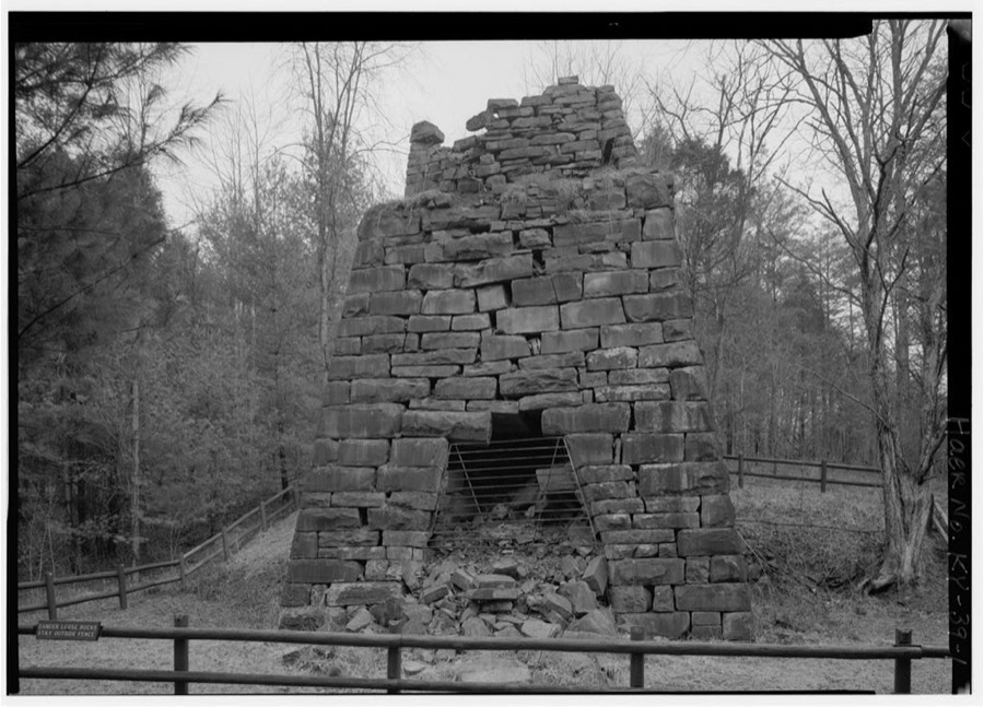
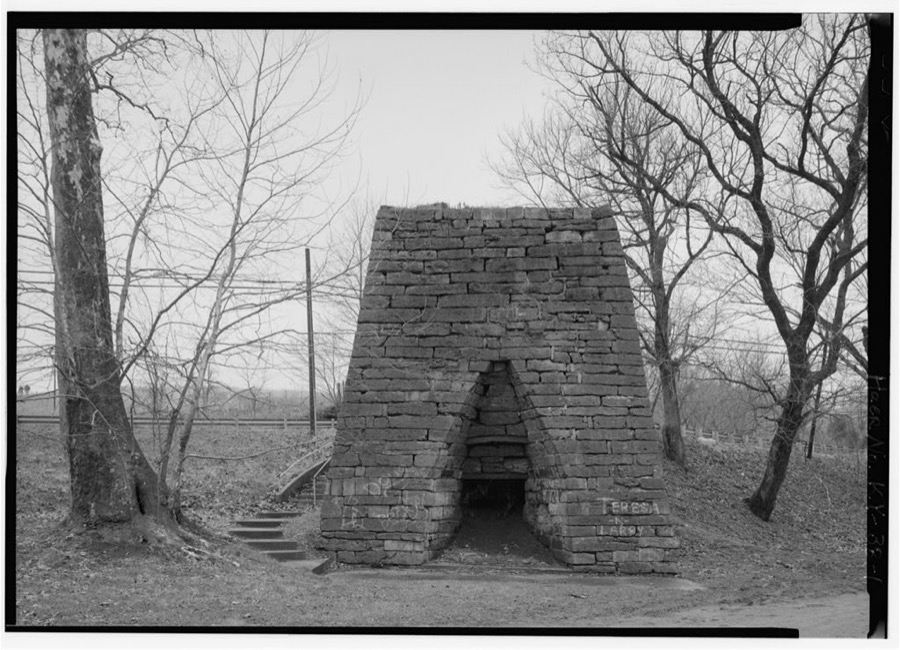
Every property in this county listed on the National Register of Historic Places, with the year it was listed and the federal nomination document.
| Photograph | Property | Type | Listed | Reference |
|---|---|---|---|---|
 | Bourbon Iron Works | structure | 1976 | 76000844 |
| Confederate Monument in Owingsville | object | 1997 | 97000718 | |
| Myrtle Hill | building | 1982 | 82001550 | |
 | J.J. Nesbitt House | building | 2010 | 10000532 |
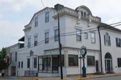 | Col. Thomas Deye Owings House | building | 1978 | 78001297 |
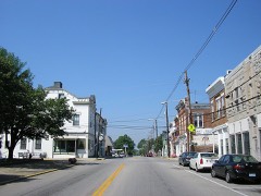 | Owingsville Commercial District and Courthouse Square | district | 1978 | 78001298 |
| Owingsville Commercial District and Courthouse Square (Boundary Increase) | district | 1985 | 85001668 | |
| Sharpsburg Historic District | district | 2024 | 100009521 | |
| Springfield Presbyterian Church | building | 1979 | 79000959 |
Sampled issues, machine-read from the Library of Congress scan and published page by page, so every headline and column is searchable text.
Owingsville, Ky., 1879 to 192?. Machine-read from the Library of Congress scan.
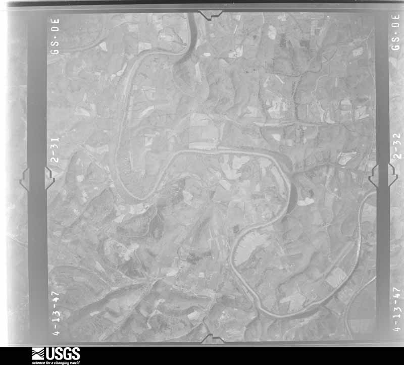
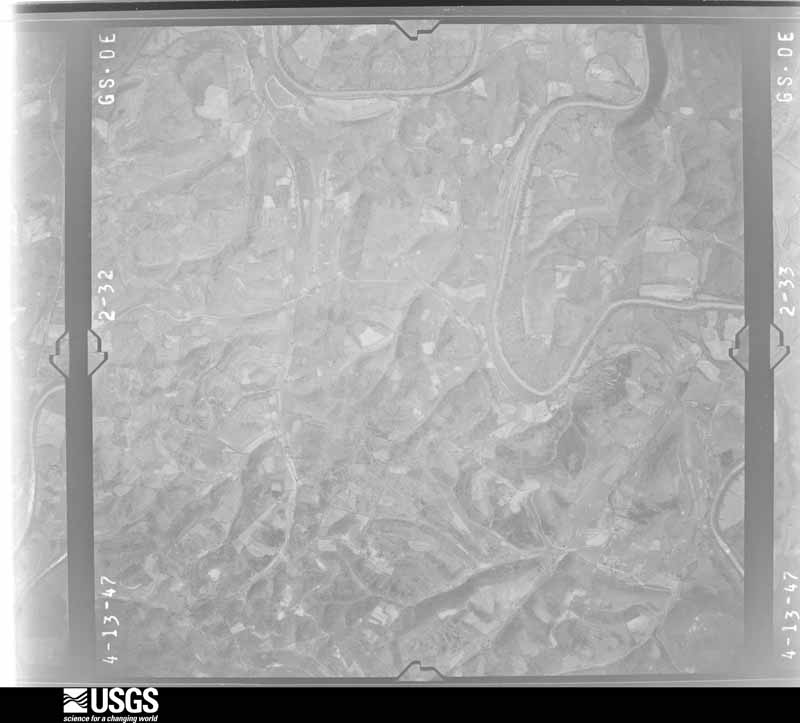
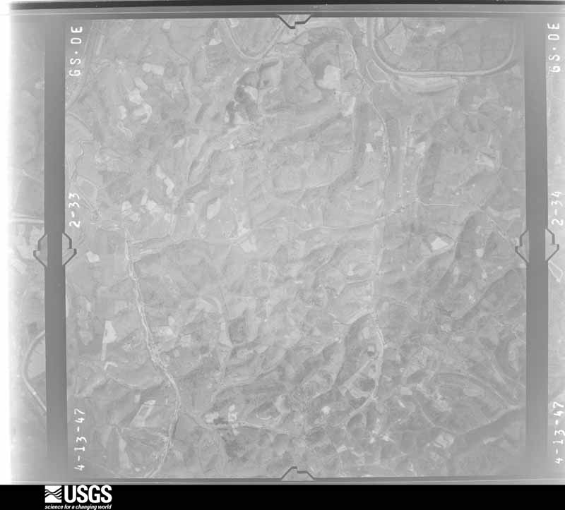
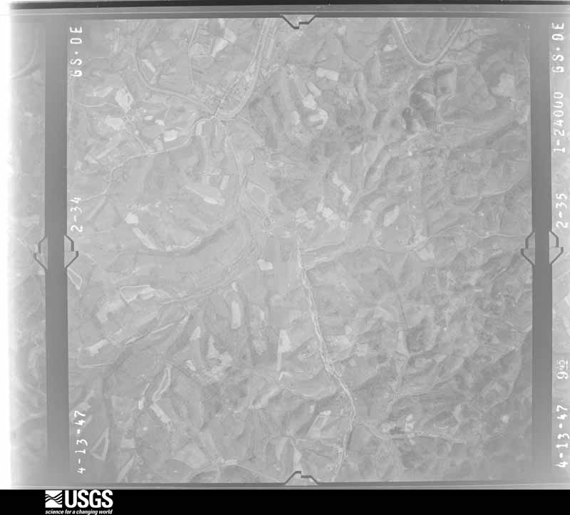
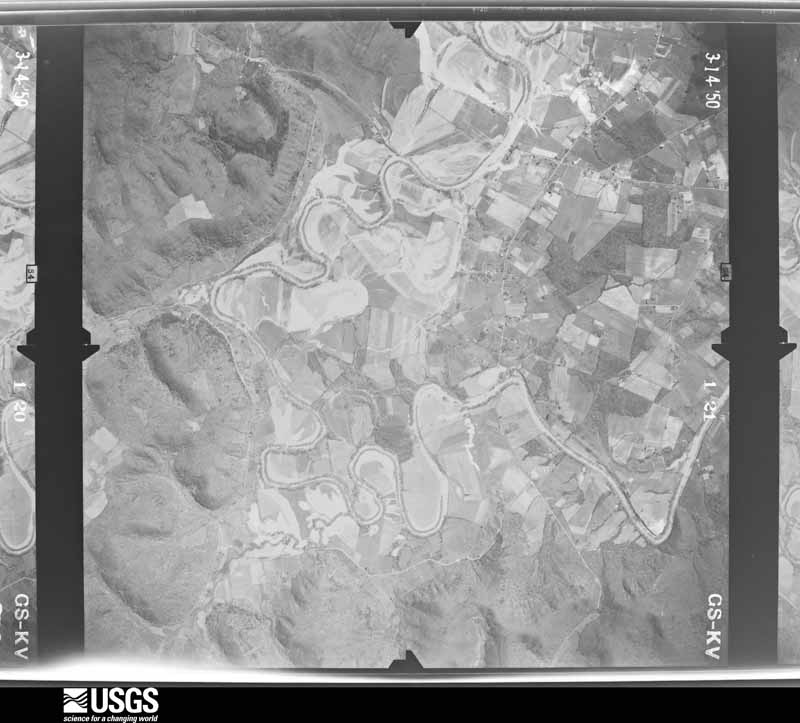
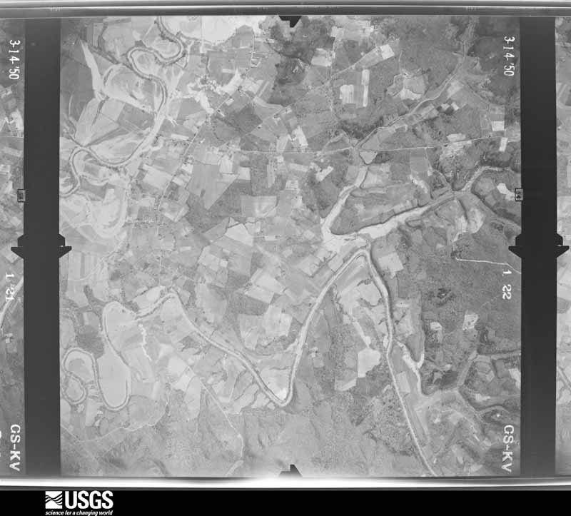
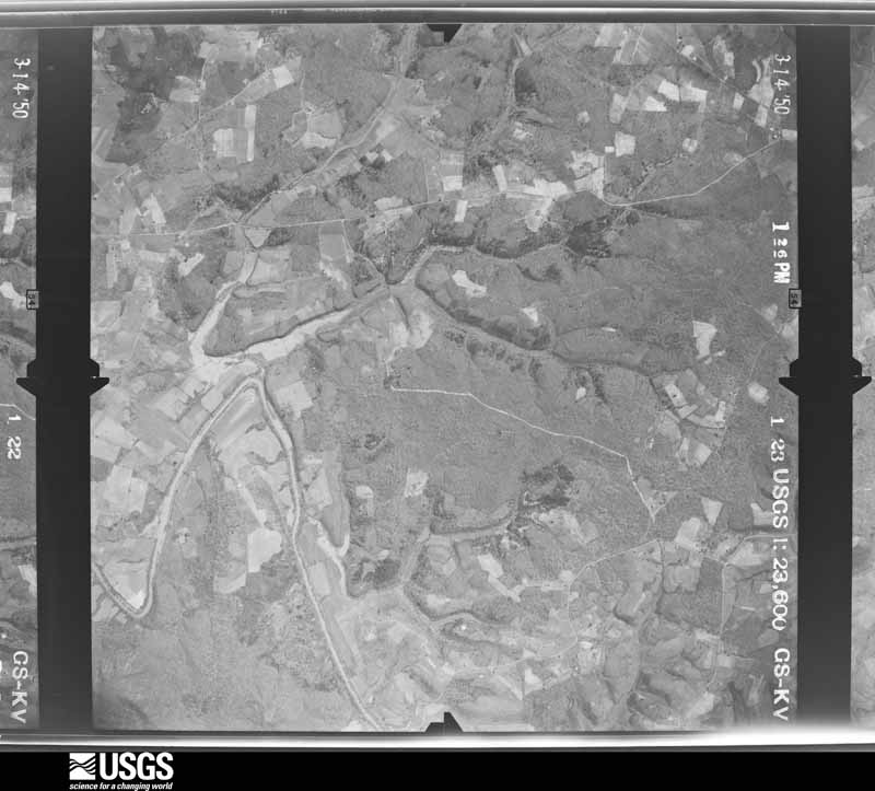
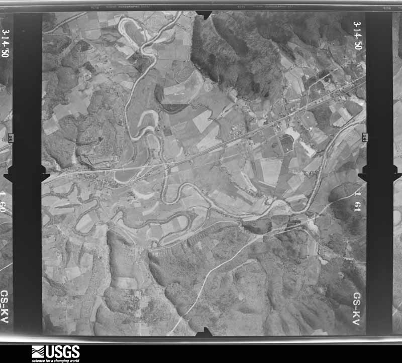
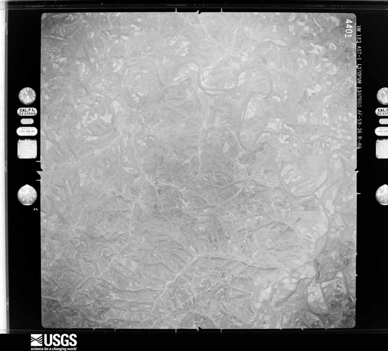
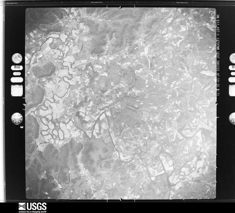
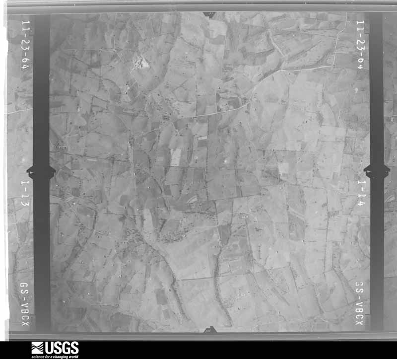
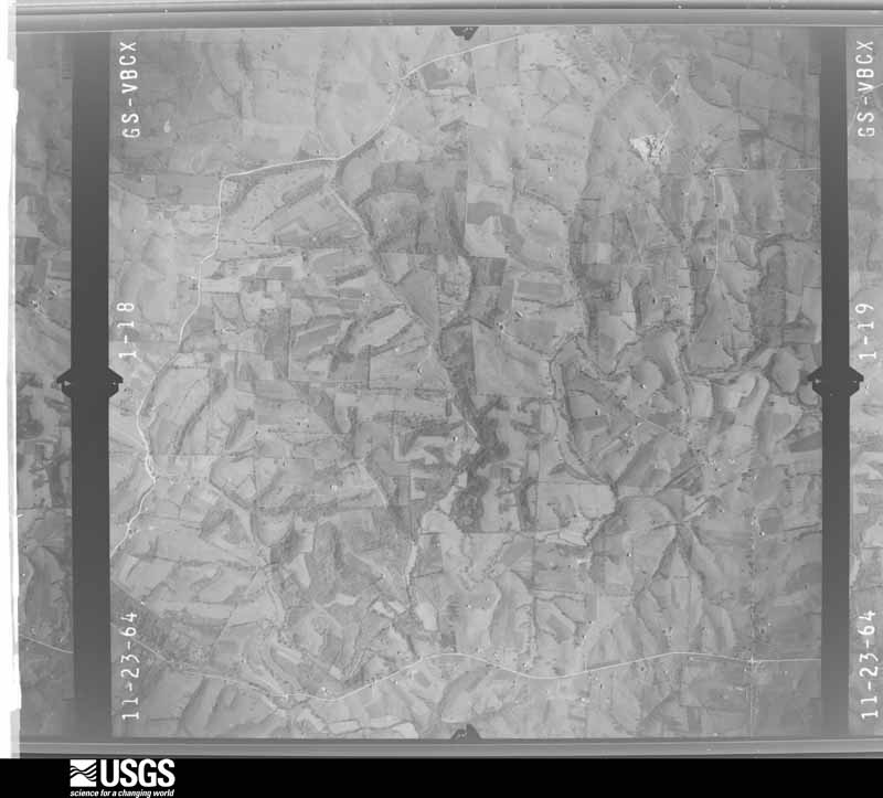
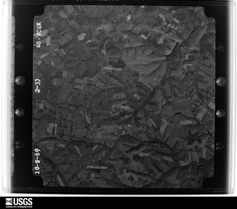
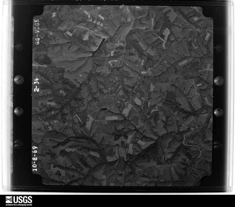
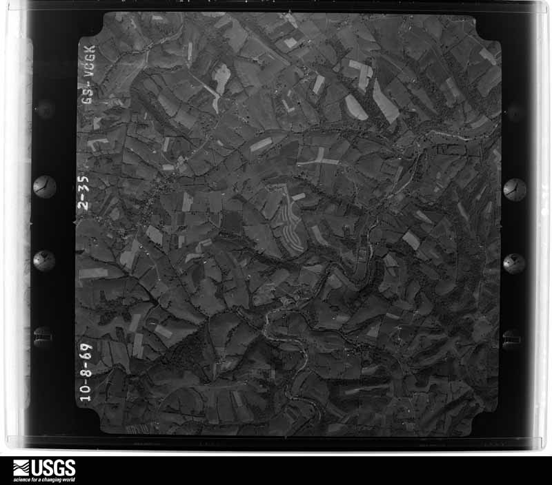
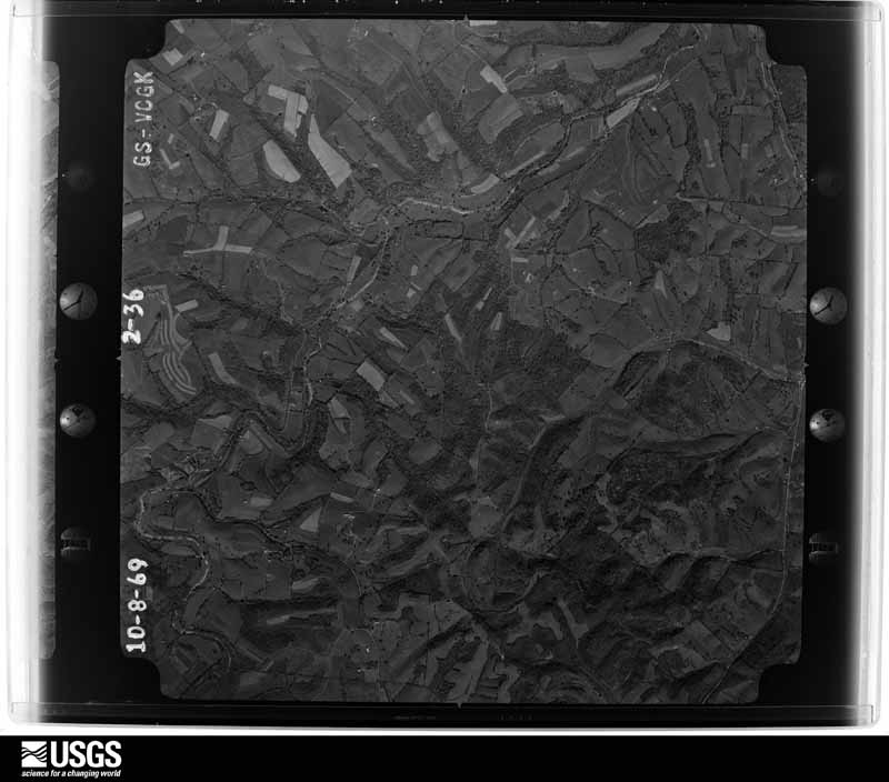
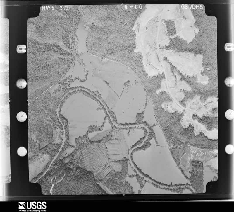
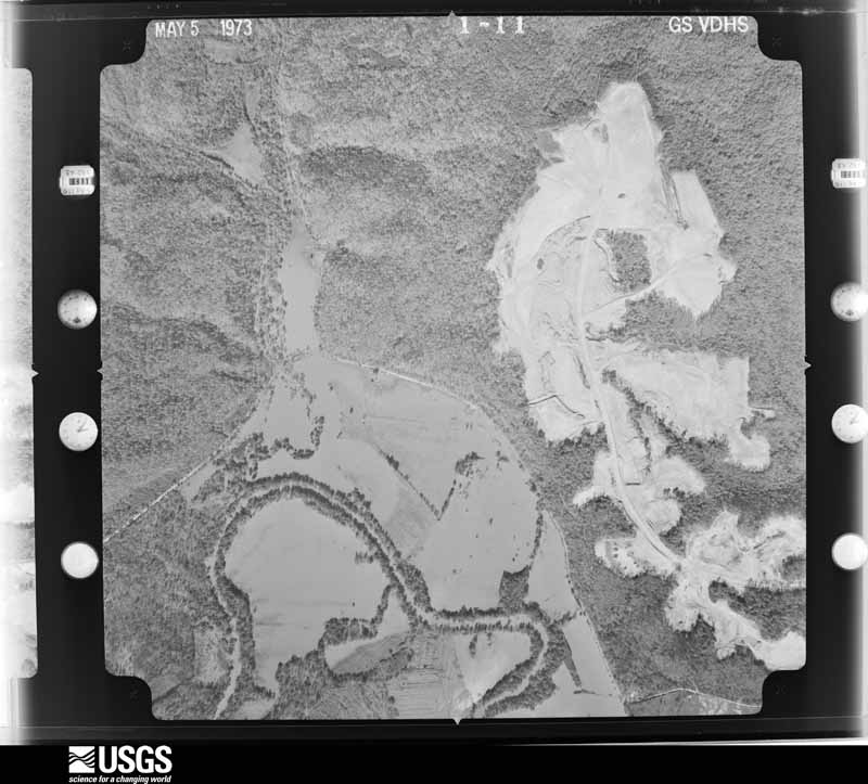
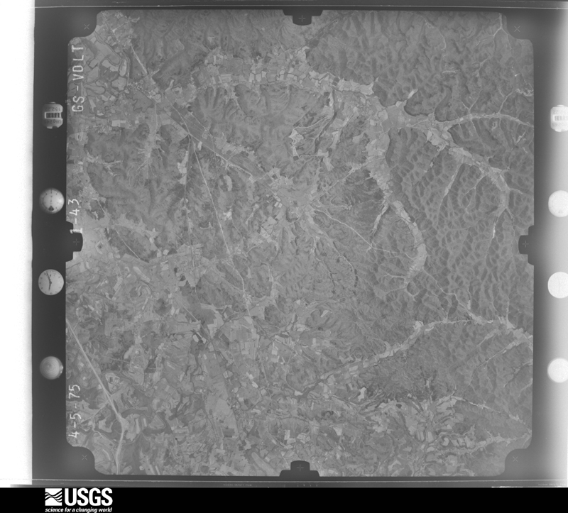
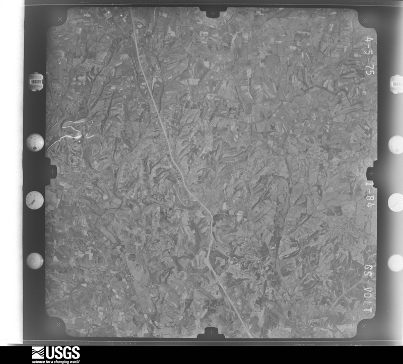
Flown by the U.S. Geological Survey between 1937 and 1989, the Aerial Photo Single Frames collection is the definitive mid-century view of the land: fields, roads and rivers as the camera saw them. The Survey holds 1,179 frames inside the rectangle that bounds this county; the 26 frames below were taken over the county itself, chosen across the decades of flights (at most four a year from that rectangle), so one flight cannot crowd out the rest. The full set is free to browse and download at EarthExplorer under the dataset Aerial Photo Single Frames.


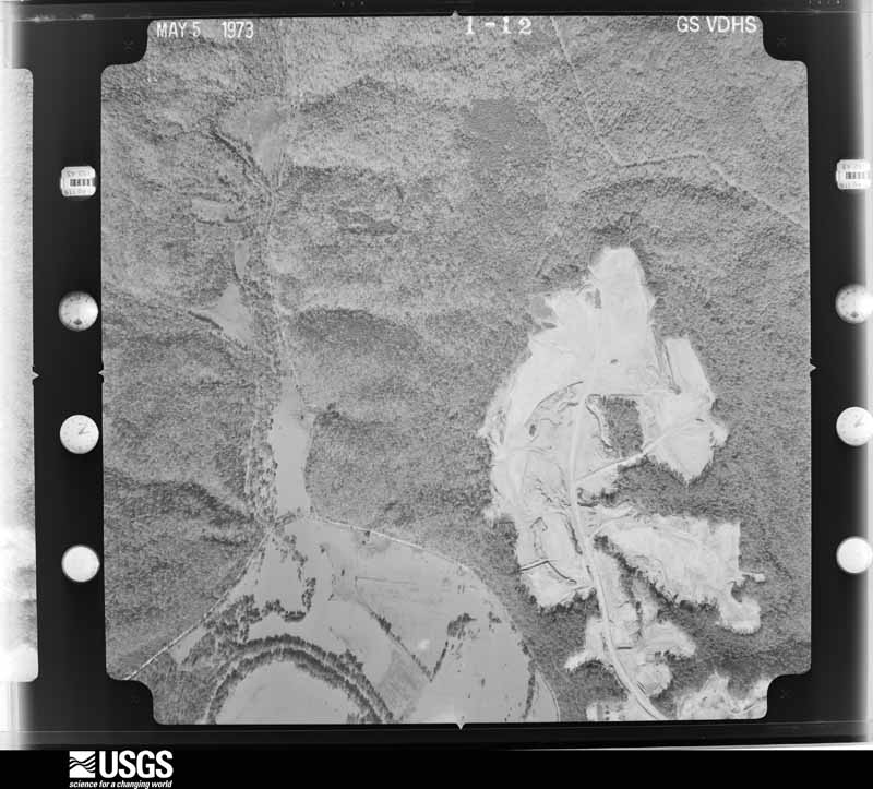
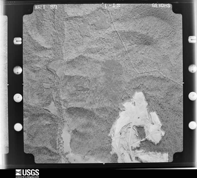
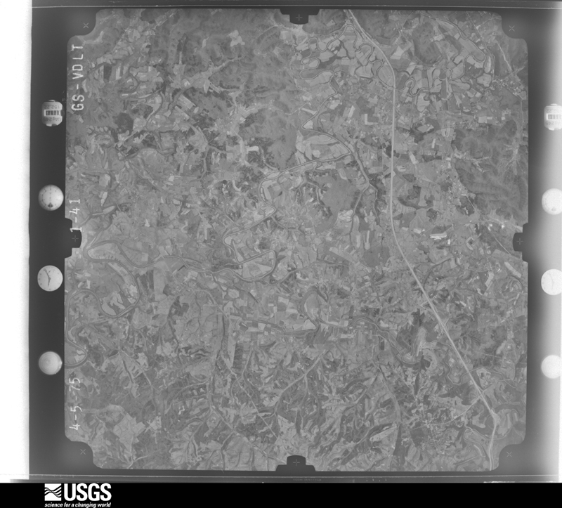
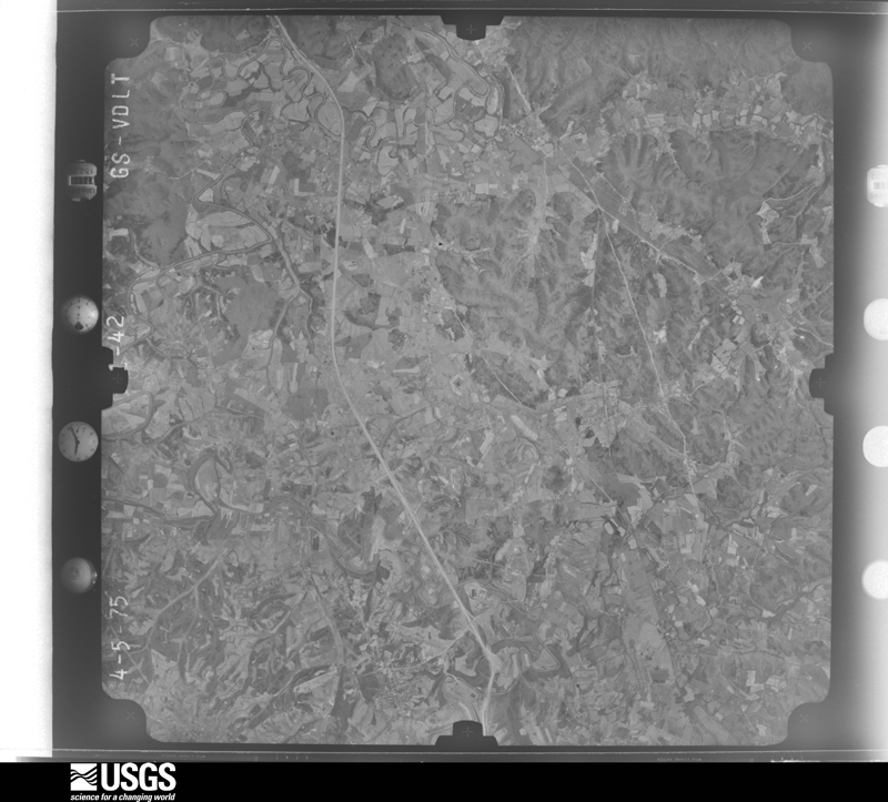
The thermometers that kept this county's weather, and the gages that measured the flow of its streams, as the federal records hold them.
Who lived here in 1950, one enumeration district at a time, as the Census Bureau described each district. Each row opens its official National Archives result, with Population Schedules and ED Maps available there.
Every wildfire the federal occurrence database records inside this county: 83 of them, burning about 1,445 acres. 4 started naturally and 13 were recorded as arson. Each settlement page carries the fires within five miles of it.
| Reported cause | Fires |
|---|---|
| Debris and open burning | 25 |
| Recreation and ceremony | 23 |
| Arson/incendiarism | 13 |
| Missing data/not specified/undetermined | 12 |
| Natural | 4 |
| Railroad operations and maintenance | 3 |
| Equipment and vehicle use | 2 |
| Smoking | 1 |
The five largest, by the area the report gives. Three of them were set deliberately.
| Date | Cause | Size | Reported by | Name on the report |
|---|---|---|---|---|
| 11 December 2006 | Debris and open burning | 375 acres | Daniel Boone National Forest | SHOOTING RANGE |
| 21 April 1999 | Arson/incendiarism | 250 acres | Kentucky Division of Forestry | not named |
| 8 March 2000 | Arson/incendiarism | 170 acres | Kentucky Division of Forestry | not named |
| 10 April 2000 | Natural | 50 acres | Kentucky Division of Forestry | not named |
| 8 April 2013 | Recreation and ceremony | 50 acres | Kentucky Division of Forestry | OLYMPIA SPRINGS |
| 2 January 2000 | Arson/incendiarism | 50 acres | Kentucky Division of Forestry | not named |
| 24 April 2009 | Recreation and ceremony | 50 acres | Kentucky Division of Forestry | not named |
| 17 March 2011 | Debris and open burning | 48 acres | Kentucky Division of Forestry | ADAMS RD |
Every settlement page carries the fires within five miles of it - see the settlement index below.
The NOAA Storm Events Database holds 325 reports for this county, causing 7 deaths, 1 injury and about $3,185,600 in recorded property damage. Each settlement page carries the reports that name it.
| Kind of event | Reports |
|---|---|
| Thunderstorm Wind | 207 |
| Hail | 47 |
| Flash Flood | 46 |
| Flood | 12 |
| Tornado | 9 |
| Heavy Rain | 2 |
| Funnel Cloud | 1 |
| Lightning | 1 |
The most serious of them, by death, then injury, then recorded damage. The accounts are quoted exactly as the forecast office filed them.
| When | Event | Place named | Harm | What the report says |
|---|---|---|---|---|
| April 2020 | Flood | Moores Ferry | 5 killed, $3,000 | A low lying road near Peasticks and Salt Lick in Bath County, Adams Road, saw water levels gradually come up and produce a steady stream of flowing water as daily rainfall amounts topped out at 1-1.5 inches. An Amish family, initially attempting to cross this, decided to turn around. However, their horse lost its footing and slipped into the water, causing the carriage to overturn and plummet into the water. The horse and adult driving the carriage escaped the water, but all five children on board were swept downstream and unfortunately perished. |
| August 2023 | Lightning | Pebble | 1 killed | A 39-year old male was struck and killed by lightning just south of Sherburne. |
| January 1998 | Flash Flood | Owingsville | 1 killed | no account filed |
| July 2000 | Thunderstorm Wind | Zilpo | 1 hurt, $3,000 | Tree fell on a woman and cars were damaged by downed trees at the Zilpo Campground. |
| March 2012 | Tornado (EF1) | Owingsville | $775,000 | A storm damage survey team from the National Weather Service Office in Jackson, Kentucky confirmed that an EF-1 tornado occurred in Bath County on March 2, 2012. The tornado touched down near the Bath County High School west southwest of Owingsville at 608 pm EST. The tornado had an intermittent path to the east northeast of approximately 7.5 miles in length. The tornado crossed Hwy 36 a mile or two south of Owingsville and then I-64 and Hwy 60 east of Owingsville causing damage to numerous trees, barn roofs, and residential structures along the way. The tornado lifted for the final time approximately 2.5 miles northwest of Salt Lick, Kentucky. |
| February 2008 | Tornado (EF1) | Kendall Spgs | $250,000 | An EF1 tornado touched down on Stepstone Road and continued east northeast for 8.7 miles. The tornado had a maximum path width of 250 yards with maximum wind speeds of around 105 mph. Two modile homes were almost completely destroyed along with several barns and outbuildings. |
| April 2024 | Tornado (EF0) | Sharpsburg | $200,000 | A quick spin up occurred as winds descended to the ground in NW Bath County, hitting a house on top of a ridge off of Springfield Road (south of Sharpsburg), along with trees and a barn in the adjacent holler to the east. From this point forward, the event became more straight-line wind dominated and continued to be so throughout much of the county. The house sustained substantial damage. A large section of roofing was removed, including a large hole into the master closet. All windows around entire house had been bowed in, bending the frames and cracking the molding around them. Grass, dirt, insulation, and other small debris was also plastered to windows, doors, and siding on all sides of the house, including on all sides of a sheltered screen in porch. Flashing was also removed from inside the sheltered porch. Basement doors on other side of sheltering retaining wall were buckled in by the force of the wind (and possible change in pressure). House also had multiple cracks along the exterior brick-work that were not there before. In addition, it moved several things outside, including a large trailer holding the front of a combine, twisting the tongue of the trailer. Debris from the house was blown several hundred yards away, and some has not yet been found. Farther down from the house, numerous trees and a barn was hit. The barn is still standing, but sustained substantial damage to the SE corner. |
| April 2024 | Thunderstorm Wind | Kendall Spgs | $200,000 | A historic brick house built in 1820 sustained substantial straight-line wind damage. The house is situated on an elevated knob with a large open area to the west, unable to break the wind before hitting the house. Owner describes seeing strong straight-line winds heading towards his house from west to east. When the winds hit the house, they knocked out one of the chimneys and roof apex on the west facing side of the house, causing a large amount of damage both outside and inside of the historic home. Several very large pine trees also fell, including one that hit a window on the house where the owner was standing. In addition to the house, winds destroyed a barn located to the south of the house, along with several sheds. The survey team and owner noted that all trees and debris was pushed due east by the winds. The team also noted that this was by far the worst damage sustained from this event, likely due to the property's elevated and exposed location. |
| March 1997 | Flash Flood | Salt Lick | $200,000 | no account filed |
| February 2008 | Thunderstorm Wind | Owingsville | $100,000 | Numerous barns were blown down with trees and power lines down county wide. A tractor trailer was blown over on Highway 36 between Preston and Hard Pike. A roof was also blown off a trailer in Peeled Oak. |
| March 1997 | Flash Flood | Preston | $100,000 | no account filed |
| April 2024 | Thunderstorm Wind | Slate Vly | $80,000 | A very large but rotted tree fell eastward due to the straight line winds, landing on the corner of a manufactured home and destroying it along Hillsboro Road, near the intersection with Naylor Road. Behind the house, sat an older barn, which was pushed from behind by the easterly winds, moving it forward about 10 feet off the foundation and causing it to collapse. |
| April 2024 | Thunderstorm Wind | Bethel | $60,000 | The survey team was sent to a property that sustained substantial damage off Chandler road just NE of the Bethel community. Two houses set on the property next to one another. The first was an old farmhouse that was being lived in but no longer maintained. The house directly beside it was a new Amish house. When winds hit the older house, sitting to the west, it lifted off the roof structure and threw it to the ESE, hitting the roof and chimney of the new house. This caused the chimney to collapse and fall, leading to significant damage to the side of the house and porches. Thankfully no one was injured in this incident. In addition, several other nearby outbuildings sustained damage, as did the siding on the houses, but all other structures on the property were fine. |
| June 2009 | Thunderstorm Wind | Sharpsburg | $50,000 | Bath county dispatch reported that 8 to 10 barns had been blown down in the Sharpsburg and Bethel areas. |
| February 2009 | Thunderstorm Wind | Owingsville | $50,000 | Boyd County emergency manager relayed information from Bath County emergency manager about a tower blown over at the EMS station and damage at the Board of Education building in Owingsville. |
| November 2007 | Tornado (EF0) | Kendall Spgs | $50,000 | Four older barns had significant roof and wall damage. One barn was pushed off it's foundation. Numerous trees were downed and snapped along the path. The tornado crossed I-64 3 miles southwest of Owingsville before lifting. Tornado rated EF-0 with peak winds near 85 mph. |
| February 1993 | Hail | not stated | $50,000 | Large hail caused considerable damage to property, including punching holes in satellite dishes and shattering windows on homes and businesses. Also several barns and mobile homes were damaged by high wind. |
| February 1993 | Thunderstorm Wind | not stated | $50,000 | Large hail caused considerable damage to property, including punching holes in satellite dishes and shattering windows on homes and businesses. Also several barns and mobile homes were damaged by high wind. |
| April 2024 | Tornado (EF0) | Reynoldsville | $40,000 | Straight line winds pushed through Mount Pleasant Road from west to east, resulting in damage to structures on both the north and south side of this mobile home. However, the mobile home, which set in the middle of the damage, showed signs of rotation as the system moved through, indicative of a quick spin-up tornado. All damage that was viewed downstream by the survey team seemed to be more in line with straight-line winds as well, so this was likely a very quick spin-up. There was a lack of structures behind this mobile home, and a lack of damage across the street to the east of this home. It matched up well with one of the tighter circulations that went through the area. The mobile home itself was hit from the backside, lifting off the roof on the back half of the house. Siding was torn off on all sides. The front of the house's roofline was a bit rotted, but lost it's flashing. Insulation and mud was plastered along the front side. Meanwhile, more mud and insulation was plastered all through the inside of the house as well. |
| October 2022 | Thunderstorm Wind | Reynoldsville | $40,000 | Multiple barns and farm structures (corn crib bin and chicken coop) were damaged or destroyed due to thunderstorm winds. NWS Storm Survey results noted that the small buildings were light and not well anchored down, that the metal pole barn was open on the ends, and that the stick-built barn was old and also had a door open - allowing winds to get inside. All damage was laying uniformly towards the ENE. |
| February 2008 | Thunderstorm Wind | Bethel | $40,000 | Numerous trees were blown down county wide. The greatest amount of damage occurred in the southwestern portion of the county, where at least 20 to 30 trees were blown down. |
| June 1998 | Flash Flood | Owingsville | $40,000 | State Route 36 covered with water. |
| April 2024 | Thunderstorm Wind | Olympia | $30,000 | Strong winds hit a barn in an open field from the west on KY-36 just NW of Olympia, blowing off the barn roof and throwing it eastward. The barn was also pushed off it's foundation, partially exposing the classic cars it was housing. Metal roofing was blown several hundred yards to the east. |
| April 2024 | Thunderstorm Wind | Bethel | $30,000 | A small subdivision along Country Lane in Bethel sustained damage due to straight line winds. Several houses had Bradford Pear Trees and rotted hardwood trees that blew down to the east. Several homes also sustained shingle and minor roof damage on the west facing side. In addition, a small timber frame that was being built (likely a shed) collapsed. |
| May 2011 | Hail | Sharpsburg | $30,000 | A trained spotter witnessed golf ball to baseball size hail in Sharpsburg. The hail caused damage to cars in the area including broken windshields. |
| June 2009 | Thunderstorm Wind | Sharpsburg | $30,000 | Multiple trees were blown down in Sharpsburg and Bethel. All of the electricity was out in Bethel. |
| April 2024 | Thunderstorm Wind | Reynoldsville | $25,000 | Farm sustained heavy wind damage along W Hwy-60. An open air barn collapsed. Metal roof from the barn was thrown southward and eastward about 200-300 yards across fields. Multiple Bradford Pear trees were also broken, and several other sheds were damaged. |
| April 2024 | Thunderstorm Wind | Reynoldsville | $25,000 | House sustained damage along Mt. Pleasant Road just north of Reynoldsville. The house was located on the northside of a spin-up tornado. Two sheds behind the house collapsed and were thrown ENE, with contents and metal roofing littering the yard and across the street to the east. The southeast corner of the house also was missing roofing material off the porch, and the south-side of the porch was ripped off. Owners also reported that some of the windows bowed in, likely due to the nearby tornado. |
| April 2024 | Thunderstorm Wind | Polksville | $25,000 | A property along Old Sand Road near I-64, east of the Peasticks community, received multiple points of damage. The home owner recalled seeing a wall of wind come from the east straight at them. The corner of the barn was destroyed, and roofing material also removed. Soffits, gutters, and some siding was pulled off the back of the house. A shed was lifted up and destroyed. A neighbor's shed had the same fate. Multiple trees were also blown down, hitting the fence at the front of the house. |
| October 2022 | Thunderstorm Wind | Reynoldsville | $25,000 | Thunderstorm winds led to the destruction of 2 barns on a private property. The barns were old, and were not anchored down to the ground. One barn was moved off its foundation by about 15 feet and collapsed. The other lost roofing material and had multiple north-facing wall panels blown off. |
| June 2022 | Thunderstorm Wind | Salt Lick | $25,000 | A tree was blown down and onto a mobile home in the Salt Lick community. |
| September 2021 | Flash Flood | Reynoldsville | $25,000 | Water over White Oak Road just northwest of Owingsville has caused damage to the pavement along several portions of the road. |
| August 1997 | Tornado (F0) | Owingsville | $25,000 | The tornado downed several trees. One large tree fell on a house and caused extensive structural damage. |
| April 2024 | Thunderstorm Wind | Olympia | $20,000 | Strong easterly winds led to substantial damage for a garage and mobile home along Lafafette Road in the community of Olympia. Both structures were facing westward, taking the brunt of the impact. The mobile home sustained porch and roof damage. The large metal-framed garage had bay doors on both the west/frontward and east/rear facing sides. Winds caused the west facing doors to bow in, and the east facing doors to blow out. |
| April 2024 | Thunderstorm Wind | Olympia | $20,000 | An old barn and several sheds sustained major damage at the end of Lafafette Road in the community of Olympia. The main barn lost the majority of it's roofing and had the collapse of walls, though still standing. Several nearby sheds were also destroyed, with debris blown out to the east. Multiple trees were also broken in the area. Meanwhile, a neighboring new barn frame being built about 100 yards to the north received little to no damage. |
| September 2018 | Flash Flood | Olympia | $20,000 | Water was observed flowing over Kentucky Highway 36 near Interstate 64 south of Owingsville, resulting in the closure of the road. Additionally, a woman was rescued from rapidly flowing flood waters as her vehicle became submerged northwest of Olympia. |
| August 2007 | Thunderstorm Wind | Owingsville | $20,000 | Numerous trees down and power outages as well. |
| August 2001 | Flash Flood | Owingsville | $20,000 | Flash flooding caused 6 feet of Highway 1944 to be washed out near the bridge. |
| February 2024 | Thunderstorm Wind | Wyoming | $15,000 | A barn was blown down along White Oak road, approximately 1 mile from Wyoming Road, north of Owingsville. |
| April 2024 | Thunderstorm Wind | Bethel | $15,000 | A barn sustained wind damage along Market Lane, near KY-11, between Sharpsburg and Bethel. The barn was already structurally unsound, but the additional winds collapsed the barn, throwing pieces of the roofing and wood sides across KY-11 about 100+ yards to the east. |
| April 2024 | Thunderstorm Wind | Bethel | $15,000 | A small concrete blocked building housing an auction company lost its tin roof, thrown eastward. The building was located near the intersection of KY-36 and KY-11 between Sharpsburg and Bethel. |
| April 2024 | Thunderstorm Wind | Reynoldsville | $15,000 | An older barn collapsed due to strong winds. It's was located in an exposed and elevated landscape. |
| April 2024 | Thunderstorm Wind | Slate Vly | $12,000 | A west-facing porch was pulled off the back of a well-tied down doublewide manufactured home when strong east winds hit it along Hillsboro Road in the Slate Valley community. This resulted in further roof damage. Two large softwood trees were also snapped. Two houses down, a shed was also destroyed, and another house across the street received minor roof damage. |
| April 2024 | Thunderstorm Wind | Reynoldsville | $10,000 | Roofing was peeled off of west side of the barn, along with multiple large tree limbs snapped on the property along Flat Creek Road. Another barn behind this one also sustained roof damage. |
| April 2024 | Thunderstorm Wind | Bethel | $10,000 | Two barns set beside each other at the start of Chandler Road, near Shiloh Road, one an open air newer barn on the NW side, and the other a large old wooden white barn just to the SE. Wind hit the open air barn and caused it to collapse, though no notable damage appears to be sustained to the white barn next to it. |
| October 2022 | Thunderstorm Wind | Reynoldsville | $10,000 | A barn was moved off its foundation and lost its roof. According to the NWS Storm Survey Steam, the cement block footers showed no indication of anchors to the barn and the wood looked dry rotted. Remainders of the barn were through 1/8 mile in a uniform direction to the ENE. |
| October 2022 | Thunderstorm Wind | Reynoldsville | $10,000 | A peg construction barn collapsed with most debris uniformly laying towards the ENE and NE. The roof was dislodged and tossed 150 feet to the east of the barn, but the framing of the roof seemed to be rotted. The cement footers that the bar was sitting on showed no indication of being anchored to the barn - rather the weight of the barn was holding it up. |
| October 2022 | Thunderstorm Wind | Reynoldsville | $10,000 | A partial barn collapse. The walls of the barn did look to be anchored with a piece of rebarb sticking out of the concrete footers, and into a hole at the bottom of the 6x6 inch barn posts/vertical beams. No other anchoring clips were used, so wind was able to lift post off the anchor. The NWS Storm Survey Team also noted that most of the wood was dry rotted. |
| December 2019 | Flood | Olympia | $10,000 | Emergency Management reported knee-deep water over McCarty Branch Road east of Olympia, resulting in a stalled car. A 78 year old woman was stuck in her car for a period of time, but was not injured. |
| July 2013 | Thunderstorm Wind | Reynoldsville | $10,000 | Several trees and tree limbs were downed in a 2 mile area along Highway 60 and Bob-o-Link Drive. One large tree was uprooted and fell onto a car and house. |
| June 2012 | Thunderstorm Wind | Salt Lick | $10,000 | Power lines were blown down. |
| June 2012 | Thunderstorm Wind | Preston | $10,000 | A wind gust was measured on a home weather station. Also, trees were blown down at the residence. |
| June 2011 | Thunderstorm Wind | Bethel | $10,000 | Trees and a cable t.v. line were blown down in Bethel. |
| May 2010 | Flash Flood | Olympia | $10,000 | Flood waters picked up several cars along Mill Creek 7 miles southeast of Owingsville and carried them downstream. One woman had to be rescued from her car. |
| February 2008 | Thunderstorm Wind | Kendall Spgs | $10,000 | A roof was blown off a home and a chain link fence was blown down. A tree was also blown down onto a house. |
| November 2007 | Thunderstorm Wind | Owingsville | $10,000 | Several trees were blown down around Owingsville. |
| April 2007 | Thunderstorm Wind | Sharpsburg | $10,000 | Five to six trees down on roads north of Sharpsburg. Power out. |
| February 2000 | Flash Flood | Countywide | $10,000 | Heavy rains produced flash flooding across the county washing out many roads. |
| October 2022 | Thunderstorm Wind | Reynoldsville | $9,000 | An open air barn had its roof peeled off and thrown into the field east of the barn. The NWS Storm Survey Team noted that the wood of the barn was dry rotted and weathered. |
| April 2024 | Thunderstorm Wind | Preston | $8,000 | Roofing was peeled off and wall caved in on a barn along Preston Road (CR-965), south of Owingsville. In addition, the Dollar General across the road to the NW also sustained some minor damage. |
The Survey's mineral resources record lists 6 workings inside this county. None of them still produces: all are closed or unrecorded. Each settlement page carries the workings within five miles of it.
| Commodity | Workings |
|---|---|
| Iron | 6 |
The least common of them first, because a county's hundredth gravel pit says nothing its first ten did not.
| Where | Site | Commodity | Status | Recorded |
|---|---|---|---|---|
| Clover Creek Iron Tract | Iron | Prospect | ||
| Horton-North Iron Tract | Iron | Prospect | ||
| Horton-South Iron Tract | Iron | Prospect | ||
| Indian Creek Iron Track | Iron | Prospect | ||
| J.W.Ingram Deposit | Iron | Occurrence | ||
| Rose Run Iron Tract | Iron | Prospect |
Named settlements recorded in the Geographic Names Information System, each with the topographic sheets covering it. Villages, hamlets and abandoned places alike. Each is shown with the nearest named watercourse or landform and the survey quadrangle it falls on. The 3 places that were also surveyed for fire insurance come first, with the number of atlases and photographs held for them.
Owingsville census division · 40360 · On Lee Branch · Owingsville quadrangle
9 sheets, 1952 to 1982
Fire insurance: 8 atlases
Salt Lick census division · 40371 · Near Campbell Hollow · Salt Lick quadrangle
10 sheets, 1929 to 1982
Fire insurance: 5 atlases
Sharpsburg census division · 40374 · Sharpsburg quadrangle
6 sheets, 1952 to 1982
Fire insurance: 5 atlases
Owingsville census division · 40374 · On Bald Eagle Creek · Owingsville quadrangle
9 sheets, 1952 to 1982
No longer a settlement
Sharpsburg census division · 40374 · On Maux Branch · Owingsville quadrangle
9 sheets, 1952 to 1982
Salt Lick census division · 40358 · On Chalybeate Branch · Olympia quadrangle
10 sheets, 1929 to 1982
No longer a settlement
Owingsville census division · 40360 · Preston quadrangle
8 sheets, 1952 to 1982
No longer a settlement
Salt Lick census division · 40371 · On Stone Quarry Branch · Salt Lick quadrangle
10 sheets, 1929 to 1982
Sharpsburg census division · 40374 · Sharpsburg quadrangle
6 sheets, 1952 to 1982
No longer a settlement
Owingsville census division · 40360 · On Burbridge Branch · Owingsville quadrangle
9 sheets, 1952 to 1982
No longer a settlement
Owingsville census division · 40360 · On Mill Creek · Olympia quadrangle
10 sheets, 1929 to 1982
No longer a settlement
Owingsville census division · 40360 · On Salt Well Creek · Preston quadrangle
8 sheets, 1952 to 1982
Owingsville census division · 40360 · On Salt Well Creek · Preston quadrangle
8 sheets, 1952 to 1982
No longer a settlement
Owingsville census division · 40334 · On Salt Well Branch · Olympia quadrangle
10 sheets, 1929 to 1982
No longer a settlement
Salt Lick census division · 40371 · On Martins Branch · Salt Lick quadrangle
10 sheets, 1929 to 1982
No longer a settlement
Salt Lick census division · 40371 · On Bayou Creek · Farmers quadrangle
11 sheets, 1929 to 1982
Owingsville census division · 40346 · On Richardson Branch · Olympia quadrangle
10 sheets, 1929 to 1982
No longer a settlement
Owingsville census division · 40360 · Near Smoky Hollow · Colfax quadrangle
10 sheets, 1929 to 1982
Salt Lick census division · 40358 · On Chalybeate Branch · Olympia quadrangle
10 sheets, 1929 to 1982
Owingsville census division · 40360 · On Little Rose Run · Colfax quadrangle
10 sheets, 1929 to 1982
No longer a settlement
Owingsville census division · 40360 · On Skillet Branch · Colfax quadrangle
10 sheets, 1929 to 1982
Owingsville census division · 40360 · On Forge Creek · Sherburne quadrangle
6 sheets, 1952 to 1982
Owingsville census division · 40360 · On Forge Creek · Sherburne quadrangle
6 sheets, 1952 to 1982
No longer a settlement
Salt Lick census division · 40358 · On Deer Lick Branch · Olympia quadrangle
10 sheets, 1929 to 1982
No longer a settlement
Owingsville census division · 40360 · On Cow Creek · Owingsville quadrangle
9 sheets, 1952 to 1982
No longer a settlement
Salt Lick census division · 40371 · On Hog Branch · Colfax quadrangle
10 sheets, 1929 to 1982
Owingsville census division · 40360 · On Little Mill Creek · Preston quadrangle
8 sheets, 1952 to 1982
Owingsville census division · 40360 · On Claver Branch · Colfax quadrangle
10 sheets, 1929 to 1982
No longer a settlement
Owingsville census division · 40360 · On North Prong Prickly Ash Creek · Owingsville quadrangle
9 sheets, 1952 to 1982
Owingsville census division · 40360 · On South Fork Salt Well Creek · Preston quadrangle
8 sheets, 1952 to 1982
No longer a settlement
Salt Lick census division · 40360 · On Little Rose Run · Colfax quadrangle
10 sheets, 1929 to 1982
No longer a settlement
Owingsville census division · 40360 · On Prickly Ash Creek · Colfax quadrangle
10 sheets, 1929 to 1982
Owingsville census division · 40374 · On Flat Creek · Sherburne quadrangle
6 sheets, 1952 to 1982
No longer a settlement
Salt Lick census division · 40371 · On Clark Fork · Olympia quadrangle
10 sheets, 1929 to 1982
No longer a settlement
Owingsville census division · 40360 · On Burbridge Branch · Owingsville quadrangle
9 sheets, 1952 to 1982
No longer a settlement
Salt Lick census division · 40371 · On Carrington Branch · Olympia quadrangle
10 sheets, 1929 to 1982
No longer a settlement
Owingsville census division · 40360 · On Naylor Creek · Colfax quadrangle
10 sheets, 1929 to 1982
No longer a settlement
Owingsville census division · 40360 · On Cow Creek · Owingsville quadrangle
9 sheets, 1952 to 1982
Salt Lick census division · 40371 · On White Sulphur Branch · Salt Lick quadrangle
10 sheets, 1929 to 1982
No longer a settlement
Owingsville census division · 40360 · On Slate Creek · Colfax quadrangle
10 sheets, 1929 to 1982
The vanished settlements of Bath County: the places named above that are no longer on the map.
9 topographic sheets and 8 fire insurance atlases, 1886 to 1929
10 topographic sheets and 5 fire insurance atlases, 1908 to 1927
6 topographic sheets and 5 fire insurance atlases, 1893 to 1929
The complete index, with nothing left out. Each of these is a separate record with its own page: a federal survey report, or the case file that argued a property on to the National Register. Both are public domain and reproduced word for word.
The vanished settlements of Bath County, the places these records name that are no longer on the map.