 Block
From the record
10 National Register listings published here.
Sources: the National Register database, National Park Service
42 topographic sheets and 7 fire insurance atlases across 1 place.
10 National Register listings published here.
Sources: the National Register database, National Park Service
Taken for the Office of War Information and the Farm Security Administration, who photographed the country between 1935 and 1944. Works of United States government photographers, with no known restriction on use. Each opens its catalogue record.
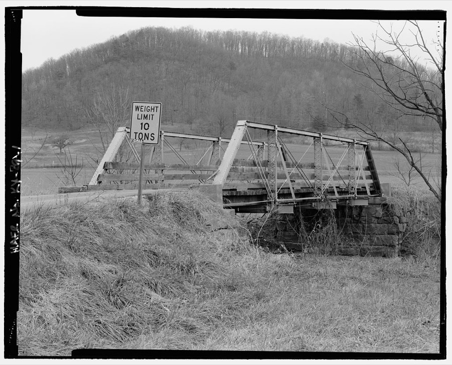
Every property in this county listed on the National Register of Historic Places, with the year it was listed and the federal nomination document.
| Photograph | Property | Type | Listed | Reference |
|---|---|---|---|---|
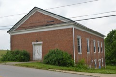 | Elizaville Presbyterian Church | building | 1977 | 77000616 |
 | First Presbyterian Church | building | 1977 | 77000617 |
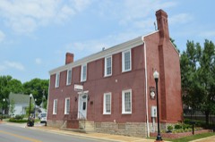 | Thomas W. Fleming House | building | 1979 | 79000983 |
| Flemingsburg Historic District | district | 1985 | 85001479 | |
 | Goddard Bridge | structure | 1975 | 75000756 |
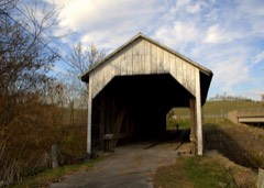 | Hillsboro Covered Bridge | structure | 1976 | 76000881 |
| Ben Johnson House | building | 1982 | 82002697 | |
| Abraham Magowan House | building | 1983 | 83002772 | |
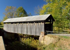 | Ringos Mill Covered Bridge | structure | 1976 | 76000880 |
| Franklin R. Sousley Birthplace | building | 1974 | 74000870 |
Fleming County has 2 covered bridges on the National Register. Each is a listed structure with a federal nomination on file.
| Hillsboro Covered Bridge | Listed 1976 |
| Ringos Mill Covered Bridge | Listed 1976 |
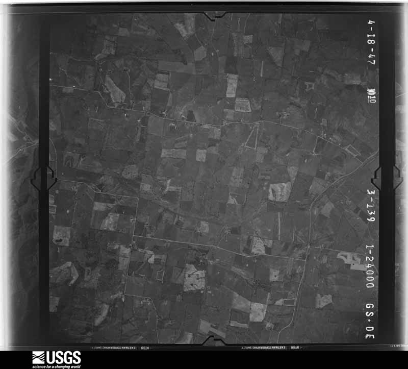
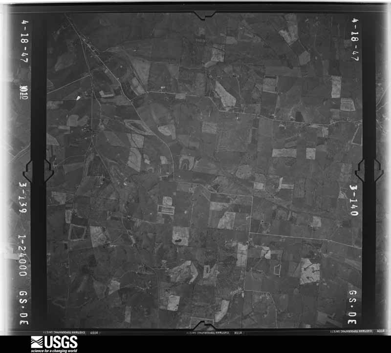
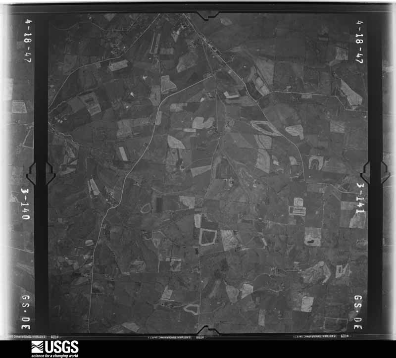
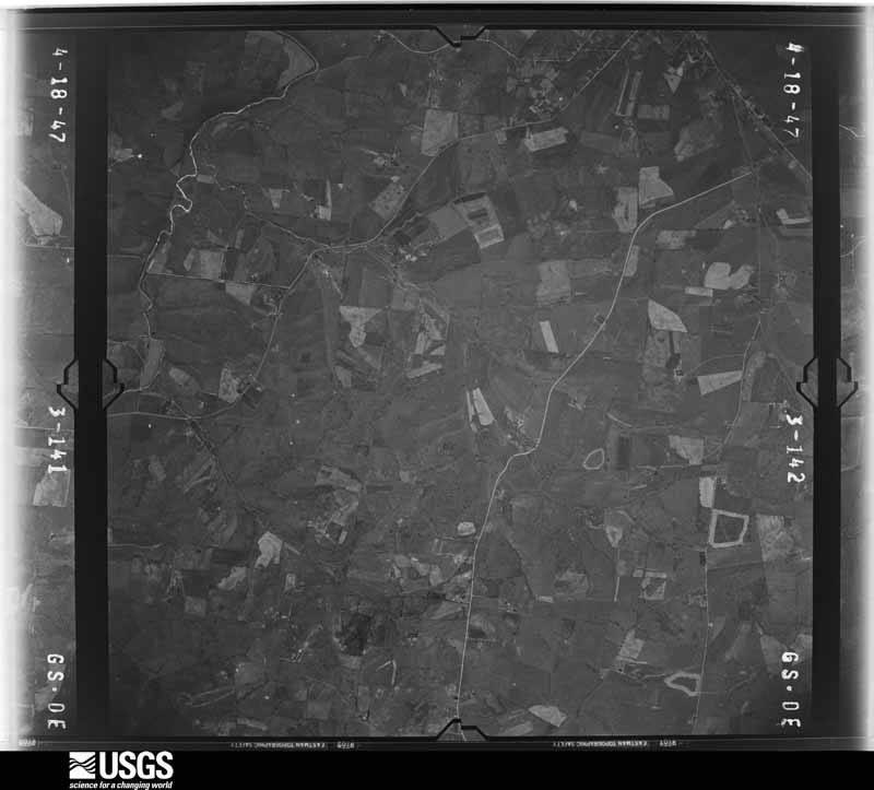
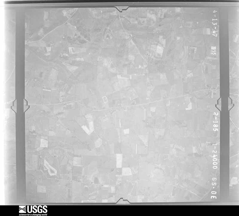
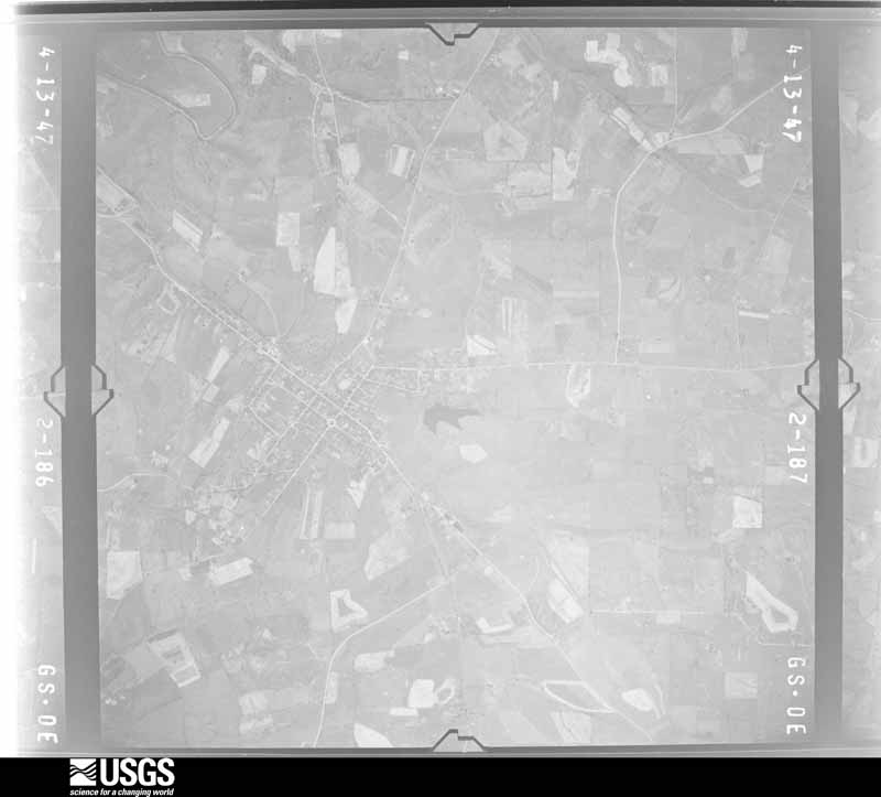
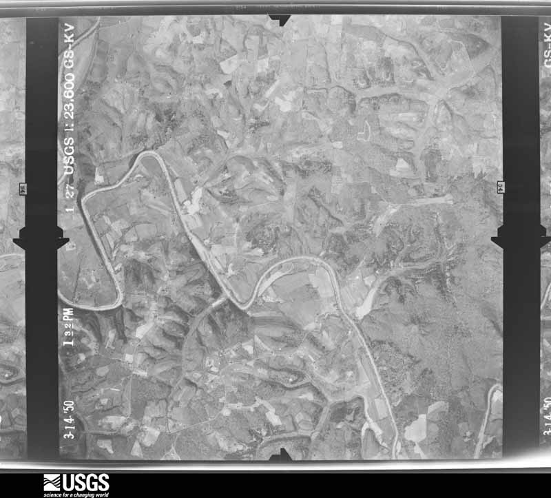
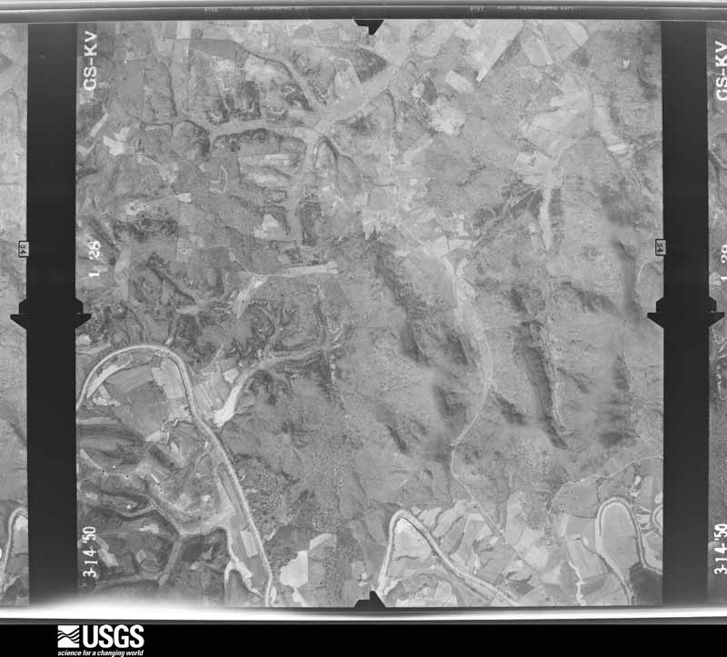
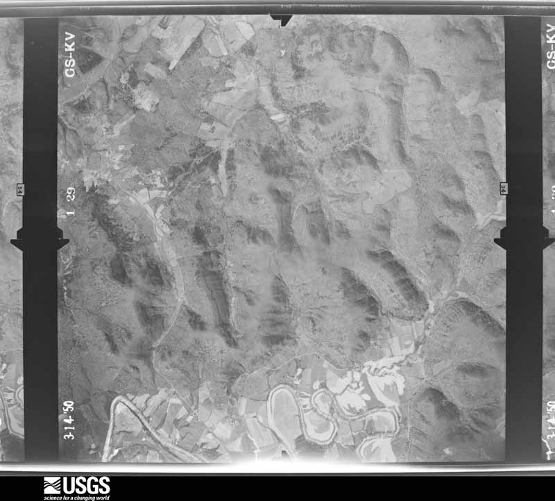
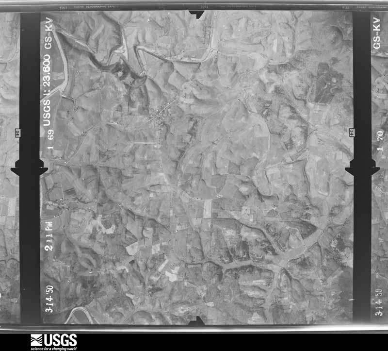
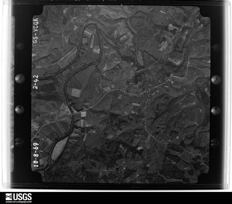
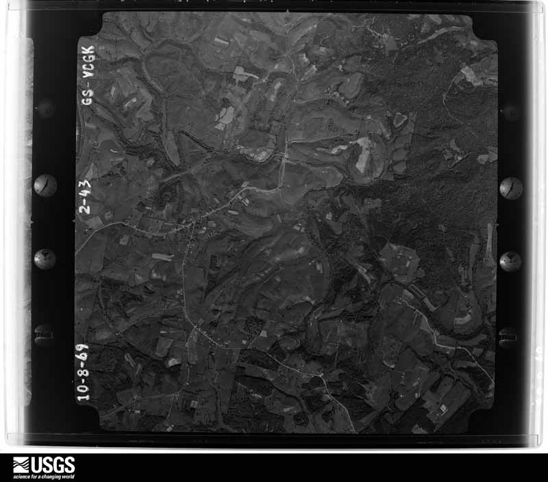
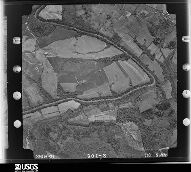
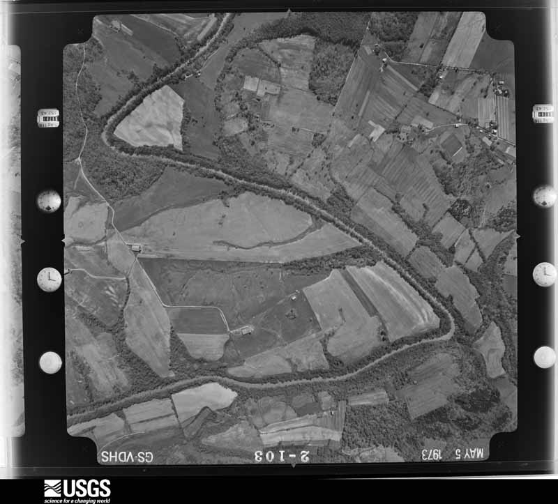
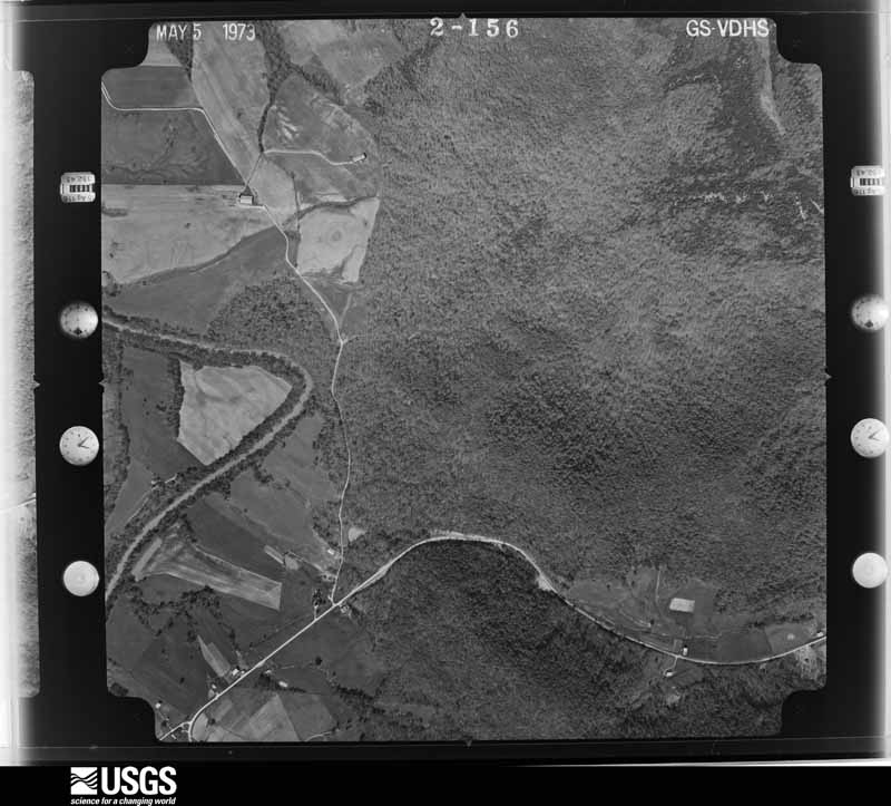
Flown by the U.S. Geological Survey between 1937 and 1989, the Aerial Photo Single Frames collection is the definitive mid-century view of the land: fields, roads and rivers as the camera saw them. The Survey holds 917 frames inside the rectangle that bounds this county; the 28 frames below were taken over the county itself, chosen across the decades of flights (at most four a year from that rectangle), so one flight cannot crowd out the rest. The full set is free to browse and download at EarthExplorer under the dataset Aerial Photo Single Frames.








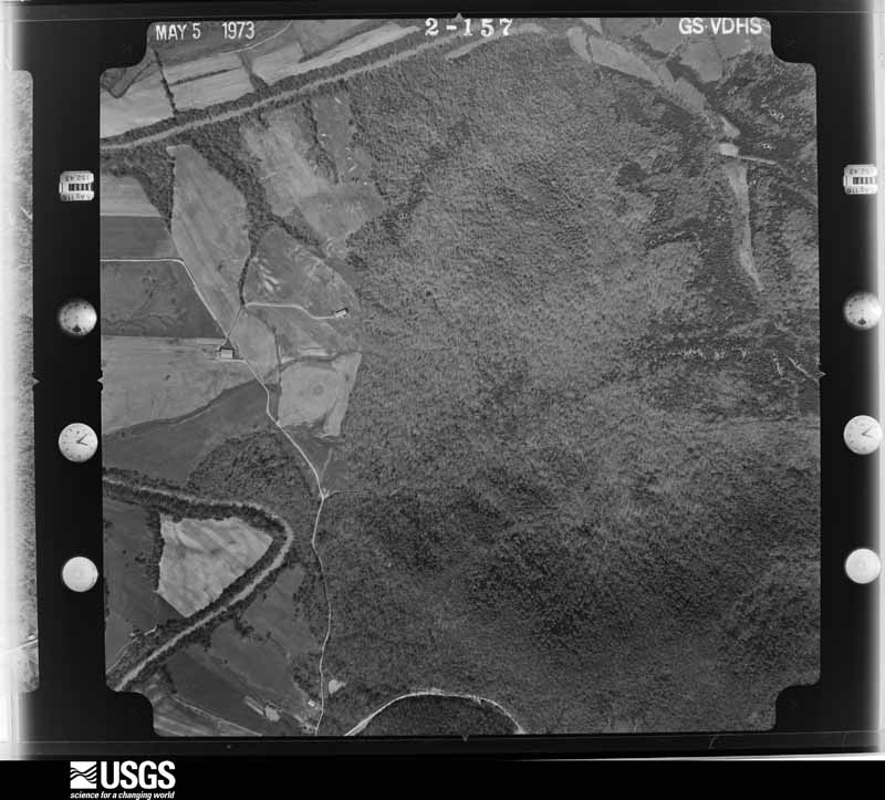
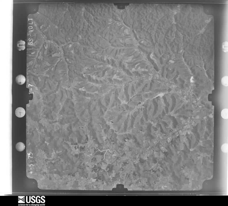



The thermometers that kept this county's weather, and the gages that measured the flow of its streams, as the federal records hold them. The extremes below are measured values from those records, not estimates.
Who lived here in 1950, one enumeration district at a time, as the Census Bureau described each district. Each row opens its official National Archives result, with Population Schedules and ED Maps available there.
Every wildfire the federal occurrence database records inside this county: 71 of them, burning about 789 acres. 1 started naturally and 5 were recorded as arson. Each settlement page carries the fires within five miles of it.
| Reported cause | Fires |
|---|---|
| Debris and open burning | 26 |
| Missing data/not specified/undetermined | 18 |
| Recreation and ceremony | 12 |
| Arson/incendiarism | 5 |
| Railroad operations and maintenance | 4 |
| Smoking | 2 |
| Misuse of fire by a minor | 2 |
| Equipment and vehicle use | 1 |
| Natural | 1 |
The five largest, by the area the report gives. One of them was set deliberately.
| Date | Cause | Size | Reported by | Name on the report |
|---|---|---|---|---|
| 15 April 2016 | Arson/incendiarism | 130 acres | Daniel Boone National Forest | STOCKTON ROAD #2 |
| 21 March 2014 | Debris and open burning | 95 acres | Kentucky Division of Forestry | INDIAN CREEK |
| 9 April 1999 | Missing data/not specified/undetermined | 55 acres | Kentucky Division of Forestry | not named |
| 16 February 2011 | Recreation and ceremony | 45 acres | Kentucky Division of Forestry | STOCTON ROAD |
| 4 May 2020 | Missing data/not specified/undetermined | 42 acres | Kentucky Division of Forestry | ISHMAEL RD |
| 9 March 2007 | Railroad operations and maintenance | 40 acres | Kentucky Division of Forestry | not named |
| 23 October 2010 | Debris and open burning | 40 acres | Kentucky Division of Forestry | MT TABOR |
| 26 November 2015 | Debris and open burning | 39 acres | Kentucky Division of Forestry | HAPPY HOLLOW FIRE |
Every settlement page carries the fires within five miles of it - see the settlement index below.
The NOAA Storm Events Database holds 259 reports for this county, causing no deaths, 8 injuries and about $5,781,200 in recorded property damage. Each settlement page carries the reports that name it.
| Kind of event | Reports |
|---|---|
| Thunderstorm Wind | 148 |
| Flash Flood | 46 |
| Hail | 42 |
| Tornado | 10 |
| Flood | 10 |
| Funnel Cloud | 1 |
| Heavy Rain | 1 |
| Lightning | 1 |
The most serious of them, by death, then injury, then recorded damage. The accounts are quoted exactly as the forecast office filed them.
| When | Event | Place named | Harm | What the report says |
|---|---|---|---|---|
| July 2015 | Thunderstorm Wind | Flemingsburg Jct | 4 hurt | A large swath of wind damage caused by winds reaching up to 80 to 100 mph occurred beginning in a subdivision off highway 11 3.5 miles north-northwest of Flemingsburg and ending near the Beechburg community. While several structures suffered at least minor damage in the path, the worst damage occurred on Cherry Grove Road where a mobile home was destroyed as it rolled into a group of garage buildings. Four people, including two children, were inside the mobile home and suffered injuries. An EF1 tornado touched down on a farm off Harn Road inside the path of the straight-line wind damage. |
| November 2007 | Thunderstorm Wind | Mt Carmel | 2 hurt, $3,000 | Two people were injured when they were blown off scaffolding during a severe thunderstorm. Extent of injuries is not known. |
| June 1982 | Tornado (F2) | not stated | 1 hurt, $250,000 | no account filed |
| June 1964 | Tornado (F2) | not stated | 1 hurt, $25,000 | no account filed |
| July 2017 | Flood | Flemingsburg Arpt | $2,000,000 | Law enforcement reported flooded streets throughout Flemingsburg several hours after heavy rainfall had ended. A local automobile dealership sustained damage to an estimated 200 vehicles on their lot. |
| February 2000 | Flash Flood | Countywide | $1,000,000 | Several hours of heavy rain brought widespread flash flooding across most of Fleming county. State officials reported that damage to public property totaled approximately $450,000 with 60 percent uninsured and 24 businesses received approximately $450,000 in damages with 95 percent uninsured. |
| June 2004 | Flash Flood | Flemingsburg | $500,000 | A ten foot wall of water was flowing down Fleming Creek and caused mass destruction of homes and vehicles in the South Lick area. About four feet of water covered several roads in the Lake Tilton area. |
| February 1993 | Tornado (F0) | not stated | $500,000 | A small tornado touched down 2 miles north of Flemingsburg. A farm implement store and storage barn were destroyed. A nearby mobile home park was also damaged. |
| July 2017 | Thunderstorm Wind | Flemingsburg Arpt | $250,000 | Observers, local dispatch, and citizens all reported numerous trees down across Flemingsburg. Additionally, a mobile home was damaged while another house was destroyed. One home lost its roof while another had a garage moved several feet as high gusts occurred. The canopy of a gas station was also blown down. Much of the observed damage occurred along Kentucky Highways 11 and 559. |
| September 1984 | Tornado (F1) | not stated | $250,000 | no account filed |
| August 2023 | Tornado (EF0) | Beechburg | $150,000 | Actual storm survey determined that tornado likely started and ended within the same minute, only traveling 0.3 miles in that time span. Starting location was 38.4464/-83.6408 and ending location was 38.4482/-83.6352. Due to limitations within the Storm Data interface, could not track the path of the storm since it shows the same start/end time. ||Damage was first observed on a property at the intersection of |Beechburg Road and Colgan Road, where the tornado directly |impacted several structures, including a wooden barn, a mobile |home, a shed, and a larger open barn located behind. All sides of |the mobile home sustained damage, including a large board impaled|into the roof, and some blunt force impacts from pieces of the |nearby barn that collapsed. Vehicles parked to the north and |northeast of the barn sustained heavy damage as it collapsed and |sections became airborne. Next the tornado hit a larger open- air|barn housing heavy equipment. Roof panels were torn off the west |side of the barn and sent up to 200 yards to the ENE. A little |ways down the road, another mobile home sustained blunt force |damage, including a large hole that punctured through into the |interior, as well as wind damage to all sides. Metal roofing from |the barn was found in a grove of trees to the northeast of this |house. The next door neighbor to the east faired better, but it |had debris from the metal barn in their yard, minor wind damage, |and a flagpole which was bent at the base laying northward. |Slightly farther up the road, the next property sustained major |tree damage, including several snapped trees and an uprooted tree,|though no structural damage. The tornado picked up a goat |enclosure in a grove of trees, lifted it over a fence, leaving the|fence untouched, and then tore the structure apart and twisted it|across the front yard of the property. Additional tree damage was|witnessed just past this location before the tornado lifted and |dissipated. |
| July 2017 | Flash Flood | Flemingsburg Arpt | $120,000 | Dispatch relayed a plethora of reports of flash flooding throughout Flemingsburg. High water entered several businesses and residences, while blocking numerous roadways. A bridge over Town Branch on St. Anthony Drive was severely damaged. |
| June 2012 | Thunderstorm Wind | Flemingsburg | $100,000 | Trees and power lines were blown down countywide. |
| April 2007 | Tornado (EF1) | Sunset | $100,000 | Three barns were totally destroyed, a 70 foot tall concrete block grain silo was blown over, and dozens of trees were uprooted and snapped. |
| April 2007 | Thunderstorm Wind | Hillsboro | $75,000 | Concrete silo blown down and two barns damaged. |
| July 2015 | Tornado (EF1) | Dalesburg | $50,000 | An EF1 tornado with 100 mph winds touched down on a farm off Harn Road around 3 miles northeast of Flemingsburg. The tornado damaged or destroyed barns and shoved a mobile home several feet off its foundation while ripping the roof off of the structure. The tornado touched down within a 6.5 mile swath of 80-100 mph straight line winds. |
| April 2020 | Thunderstorm Wind | Flemingsburg Jct | $45,000 | Local Dispatch and Emergency Management reported widespread severe wind damage from near the Mason County line on Kentucky Highway 11, where a building was leveled, to near Goddard. This included multiple downed trees along with a barn blown down near Elizaville. Near Dalesburg, a barn was blown onto Taylor Mill Road while a 20 foot steel cargo container was blown over. |
| April 1996 | Thunderstorm Wind | Poplar Grove | $30,000 | no account filed |
| August 2010 | Thunderstorm Wind | Goddard | $25,000 | The county dispatch office reported numerous trees down countywide. |
| April 2024 | Thunderstorm Wind | Colfax | $20,000 | The east side of a barn roof was blown off along Johnson School Road in southern Fleming County. Additional damage to roof panels was incurred on the west side of the barn. Pieces of roofing were thrown eastward and along the road. In addition, the house directly across the street received minor damage as well, including the gutters being torn off the east side of the house. Several large tree limbs also looked to have been downed. This location was in a flat exposed location, and no other structures nearby. |
| March 2012 | Thunderstorm Wind | Mt Carmel | $20,000 | A mobile home was blown off its foundation in Mount Carmel. |
| August 2010 | Thunderstorm Wind | Goddard | $20,000 | The county dispatch office reported numerous trees down countywide. |
| July 2019 | Thunderstorm Wind | Tilton | $15,000 | Local media reported an out building was destroyed on a farm near Tilton. |
| July 2015 | Flash Flood | Cowan | $15,000 | Four homes were severely flooded along Buchanan Road. |
| April 2024 | Thunderstorm Wind | Ringos Mills | $10,000 | Several trees were downed at Ringo Mills Baptist Church on KY-158 near Hillsboro. In addition, the church sustained minor exterior damage to the roof and gutters. |
| February 2008 | Thunderstorm Wind | Flemingsburg | $10,000 | Trees were blown down and across Highway 111 at Grange City and Hillsboro. |
| June 2008 | Thunderstorm Wind | Wallingford | $10,000 | Several trees were blown down by thunderstorm wind gusts. |
| August 2007 | Thunderstorm Wind | Flemingsburg | $10,000 | Numerous trees down at the intersection of Highway 57 and Taylors Mill Road. |
| March 1997 | Flash Flood | Cowan | $10,000 | no account filed |
| March 1997 | Flash Flood | Ewing | $10,000 | no account filed |
| July 2008 | Thunderstorm Wind | Plummers Lndg | $8,000 | One large tree was blown down onto 2 vehicles by thunderstorm wind gusts. A large limb was also blown down and a flag pole was bent in half. |
| February 2008 | Thunderstorm Wind | Ewing | $8,000 | Roof damage occured to 2 homes near Tea Run Road, and a barn suffered roof damage near Mount Tabor Road as the result of thunderstorm wind gusts. |
| March 2026 | Thunderstorm Wind | Elizaville | $7,500 | A social media report indicated that multiple large trees were blown down by intense winds. Specifically, two large trees came down on a property along Dillon Lane and one of them hit a house. There was no precipitation observed with the wind. |
| June 2010 | Thunderstorm Wind | Ewing | $6,000 | Two power poles were blown down on Junction Road. Trees were blown down on both Junction Road and Nepton Road. |
| January 2008 | Thunderstorm Wind | Flemingsburg | $6,000 | A small barn was blown into Cherry Grove Road at Mill Creek Road. A tree was blown down across Watson Road. All damage was caused by winds estimated at 61 mph. |
| October 1999 | Thunderstorm Wind | Marthas Mill | $6,000 | Strong winds brought down three telephone poles and serveral trees. |
| March 2012 | Thunderstorm Wind | Tilton | $5,000 | One structure in Tilton suffered roof damage due to thunderstorm wind gusts. |
| June 2010 | Thunderstorm Wind | Flemingsburg | $5,000 | Four power poles were blown down between Old Convict Road and Junction Road. |
| May 2010 | Thunderstorm Wind | Ewing | $5,000 | Trees were blown down in Ewing. |
| February 2008 | Thunderstorm Wind | Flemingsburg | $5,000 | Trees were blown down on Red Bud Road near Ewing at Highways 170 and 559. |
| July 2007 | Thunderstorm Wind | Muses Mills | $5,000 | Trees down on Tomishmael Road off Highway 32. |
| August 2003 | Thunderstorm Wind | Flemingsburg | $5,000 | Large tree limbs and power lines were down. |
| October 2001 | Thunderstorm Wind | Fairview | $5,000 | Strong winds blew a barn down into the road. |
| February 2000 | Thunderstorm Wind | Ringos Mills | $5,000 | Law enforcement officials reported several trees downed by high winds in Ringos Mills and Hillsboro. One old structure was also destroyed. |
| July 2000 | Thunderstorm Wind | Craintown | $5,000 | A barn was blown down by strong winds associated with a severe thunderstorm. |
| March 1997 | Thunderstorm Wind | Flemingsburg | $5,000 | no account filed |
| August 2010 | Thunderstorm Wind | Flemingsburg | $4,000 | Four trees were blown down from Flemingsburg towards Dalesburg on Hwy 57 and Cherry Grove Rd. |
| June 2010 | Thunderstorm Wind | Flemingsburg | $3,000 | A tree was blown down onto power lines near Flemingsburg. |
| July 2000 | Thunderstorm Wind | Cowan | $3,000 | Power poles and lines down due to strong winds. |
| October 1999 | Thunderstorm Wind | Goddard | $3,000 | Power lines were brought down by strong winds. |
| October 1999 | Thunderstorm Wind | Ewing | $3,000 | Strong winds brought several power lines down. |
| August 1997 | Thunderstorm Wind | Poplar Plains | $3,000 | Trees and power lines were downed. |
| August 1997 | Thunderstorm Wind | Muses Mills | $3,000 | Power lines were downed. |
| July 1971 | Tornado (F1) | not stated | $2,500 | no account filed |
| December 2019 | Flood | Ringos Mills | $2,000 | Dispatch reported flood waters over Mt. Hope Road near Goddard and Rawlings Road near Ringos Mills. |
| June 2009 | Thunderstorm Wind | Flemingsburg | $2,000 | A couple of trees were blown down onto Turner Road. |
| June 2008 | Thunderstorm Wind | Wallingford | $2,000 | A few large limbs were blown down by thunderstorm wind gusts. |
| July 2007 | Thunderstorm Wind | Ringos Mills | $2,000 | Couple of trees down. |
| April 2007 | Thunderstorm Wind | Hillsboro | $2,000 | Tool shed was damaged by winds. Several large limbs were blown down. |
| August 2003 | Thunderstorm Wind | Flemingsburg | $2,000 | Phone lines were down. |
The Survey's mineral resources record lists 2 workings inside this county. 1 still produces and 1 is closed or unrecorded. Each settlement page carries the workings within five miles of it.
| Commodity | Workings |
|---|---|
| Clay | 1 |
| Stone, Crushed/Broken | 1 |
The least common of them first, because a county's hundredth gravel pit says nothing its first ten did not.
| Where | Site | Commodity | Status | Recorded |
|---|---|---|---|---|
| Carpenter Quarry | Stone, Crushed/Broken | Producer | ||
| Fairview Roadcut Clay Bed | Clay | Prospect |
Named settlements recorded in the Geographic Names Information System, each with the topographic sheets covering it. Villages, hamlets and abandoned places alike. Each is shown with the nearest named watercourse or landform and the survey quadrangle it falls on. The 1 place that was also surveyed for fire insurance comes first, with the number of atlases and photographs held for them.
Flemingsburg census division · 41041 · On Town Branch · Flemingsburg quadrangle
8 sheets, 1951 to 1982
Fire insurance: 7 atlases
Flemingsburg census division · 41041 · On Butler Branch · Hillsboro quadrangle
10 sheets, 1951 to 1982
Flemingsburg census division · 41093 · Near Dudley Hollow · Burtonville quadrangle
8 sheets, 1951 to 1982
No longer a settlement
Hillsboro census division · 41049 · On Buckner Branch · Colfax quadrangle
10 sheets, 1929 to 1982
Ewing census division · 41041 · On Hill Branch · Elizaville quadrangle
8 sheets, 1952 to 1982
Flemingsburg census division · 41041 · On Logan Run · Flemingsburg quadrangle
8 sheets, 1951 to 1982
Ewing census division · 41039 · On Mud Lick Creek · Elizaville quadrangle
8 sheets, 1952 to 1982
Ewing census division · 41039 · On Poorhouse Branch · Elizaville quadrangle
8 sheets, 1952 to 1982
Hillsboro census division · 41049 · On Stone Lick Branch · Plummers Landing quadrangle
8 sheets, 1951 to 1982
No longer a settlement
Flemingsburg census division · 41093 · Near Sugar Loaf Mountain · Burtonville quadrangle
8 sheets, 1951 to 1982
Hillsboro census division · 41093 · On Bluebank Branch · Plummers Landing quadrangle
8 sheets, 1951 to 1982
Hillsboro census division · 41049 · On Davis Branch · Colfax quadrangle
10 sheets, 1929 to 1982
Hillsboro census division · 41049 · On Locust Graveyard Hill · Hillsboro quadrangle
10 sheets, 1951 to 1982
Flemingsburg census division · 41041 · Near Sugar Loaf Mountain · Flemingsburg quadrangle
8 sheets, 1951 to 1982
Hillsboro census division · 41093 · On Greenbrier Branch · Plummers Landing quadrangle
8 sheets, 1951 to 1982
Ewing census division · 41039 · On Mud Lick Creek · Elizaville quadrangle
8 sheets, 1952 to 1982
Ewing census division · 41041 · Near Pecks Ridge · Sherburne quadrangle
6 sheets, 1952 to 1982
Hillsboro census division · 41093 · Near Dugan Hollow · Burtonville quadrangle
8 sheets, 1951 to 1982
No longer a settlement
Flemingsburg census division · 41093 · On Pea Ridge · Burtonville quadrangle
8 sheets, 1951 to 1982
No longer a settlement
Flemingsburg census division · 41093 · Near Sugar Loaf Mountain · Burtonville quadrangle
8 sheets, 1951 to 1982
Hillsboro census division · 41093 · On Moran Branch · Plummers Landing quadrangle
8 sheets, 1951 to 1982
Hillsboro census division · 41049 · On Sand Lick Creek · Plummers Landing quadrangle
8 sheets, 1951 to 1982
Hillsboro census division · 41093 · On Mudlick Branch · Cranston quadrangle
8 sheets, 1951 to 1982
Hillsboro census division · 41041 · On Two Mile Run · Sherburne quadrangle
6 sheets, 1952 to 1982
Hillsboro census division · 41049 · On Storey Branch · Colfax quadrangle
10 sheets, 1929 to 1982
Flemingsburg census division · 41093 · Near Pew Hollow · Burtonville quadrangle
8 sheets, 1951 to 1982
The vanished settlements of Fleming County: the places named above that are no longer on the map.
8 topographic sheets and 7 fire insurance atlases, 1886 to 1944
The complete index, with nothing left out. Each of these is a separate record with its own page: a federal survey report, or the case file that argued a property on to the National Register. Both are public domain and reproduced word for word.
The vanished settlements of Fleming County, the places these records name that are no longer on the map.