 Block
From the record
12 National Register listings published here.
Sources: the National Register database, National Park Service
44 topographic sheets and 18 fire insurance atlases across 2 places.
12 National Register listings published here.
Sources: the National Register database, National Park Service
Taken for the Office of War Information and the Farm Security Administration, who photographed the country between 1935 and 1944. Works of United States government photographers, with no known restriction on use. Each opens its catalogue record.



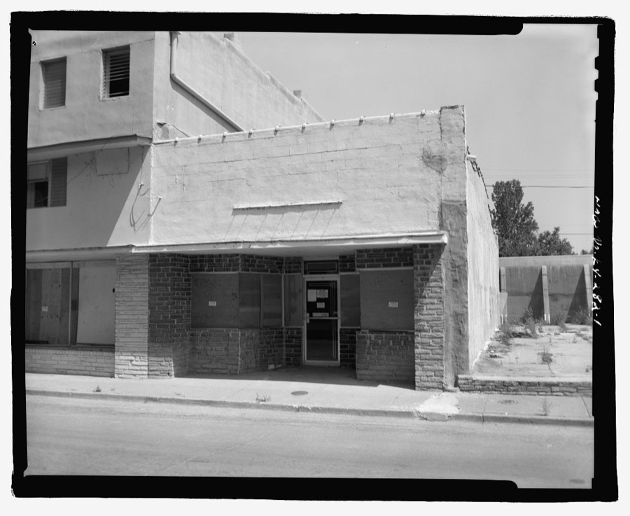

Every property in this county listed on the National Register of Historic Places, with the year it was listed and the federal nomination document.
| Photograph | Property | Type | Listed | Reference |
|---|---|---|---|---|
| Buchanan Street Historic District | district | 1990 | 90000779 | |
 | Carnegie Library | building | 1990 | 90000780 |
| Carr Historic District | district | 2001 | 01000451 | |
 | Ben F. Carr Jr. House | building | 1979 | 79000987 |
| Confederate Memorial Gateway in Hickman | object | 1997 | 97000700 | |
 | Confederate Memorial in Fulton | object | 1997 | 97000699 |
 | Fulton County Courthouse | building | 1976 | 76000887 |
| Fulton Downtown Historic District | district | 2003 | 03000710 | |
| Old Hickman Historic District | district | 1990 | 90000778 | |
 | Thomas Chapel C.M.E. Church | building | 1979 | 79000988 |
| Jesse Whitesell Farm (Boundary Increase) | district | 2009 | 06001200 | |
 | Jesse Whitesell House | building | 1977 | 77000619 |
Sampled issues, machine-read from the Library of Congress scan and published page by page, so every headline and column is searchable text.
Hickman, Ky., 1859 to Current. Machine-read from the Library of Congress scan.
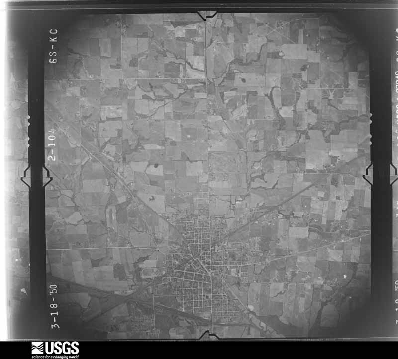
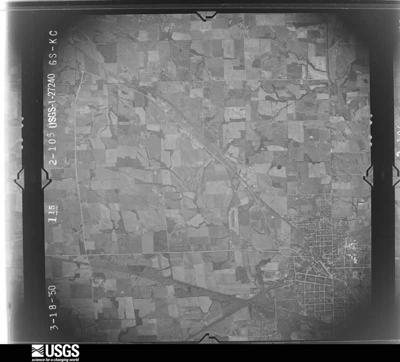
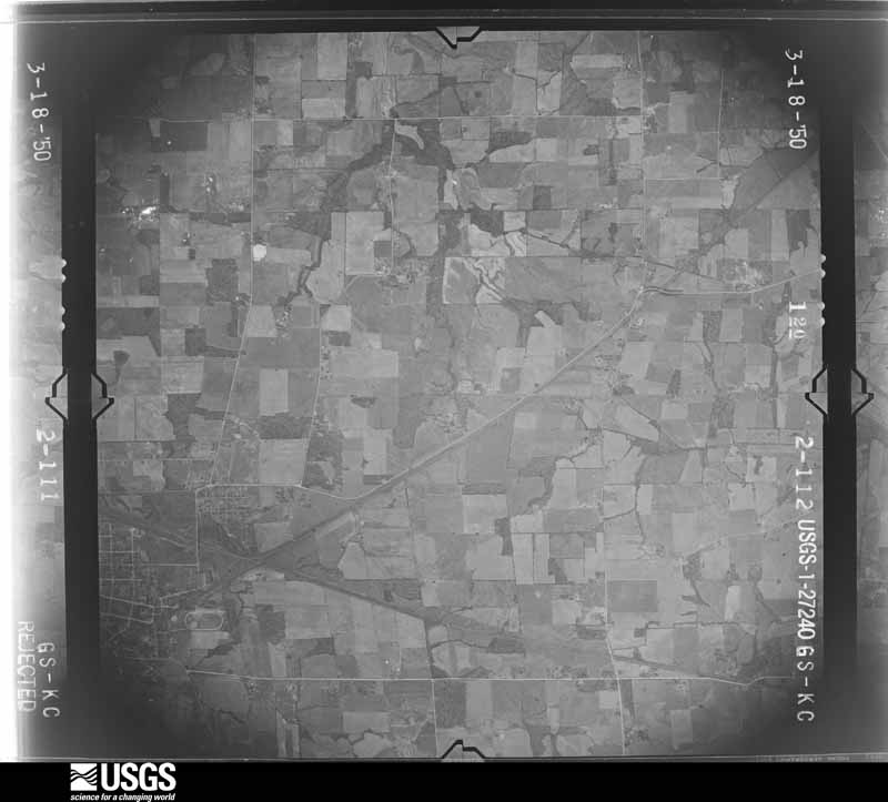
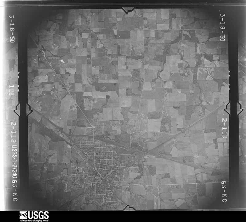
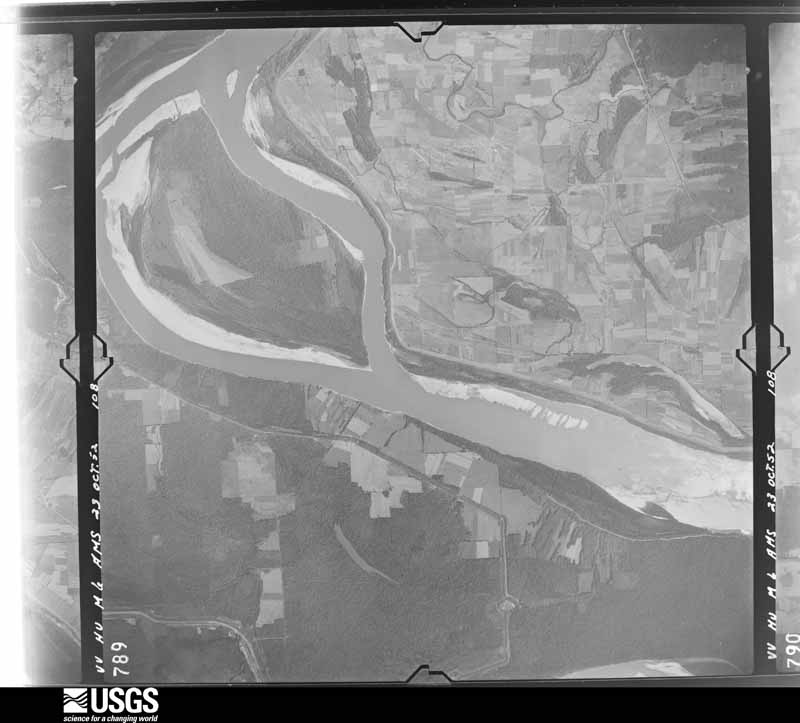
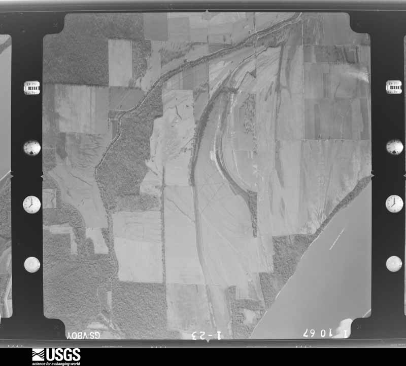
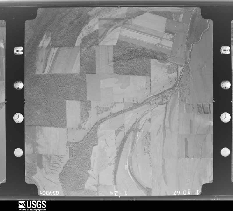
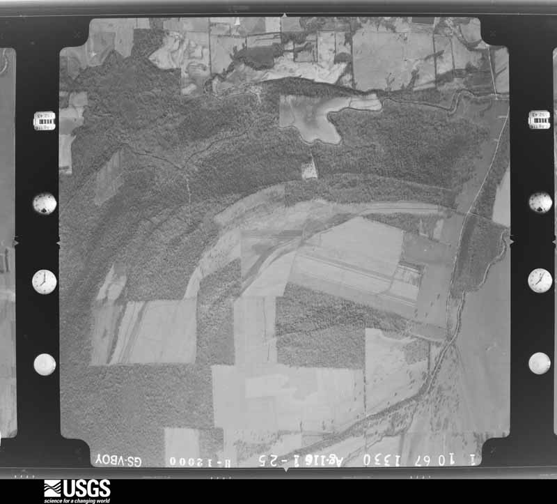
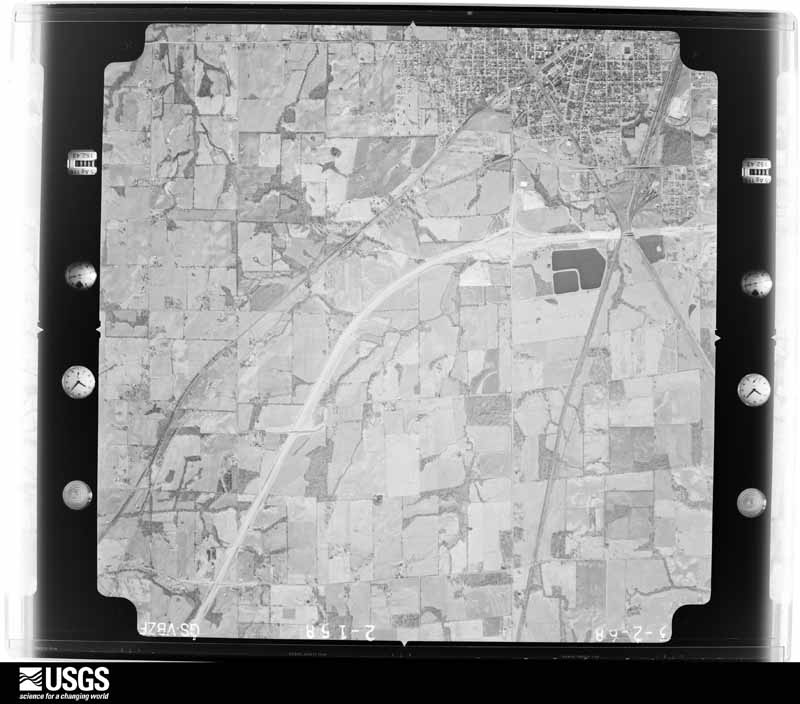
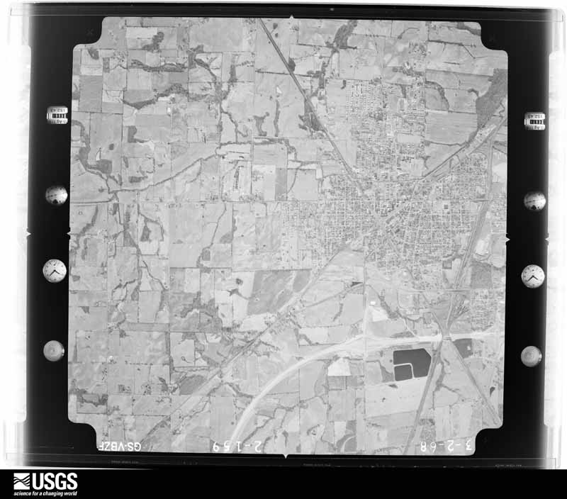
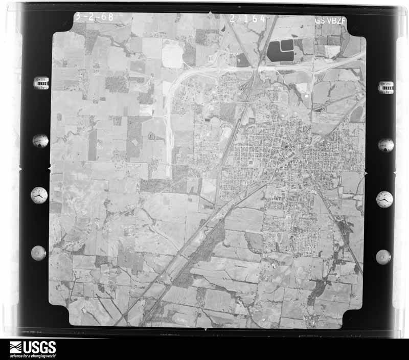
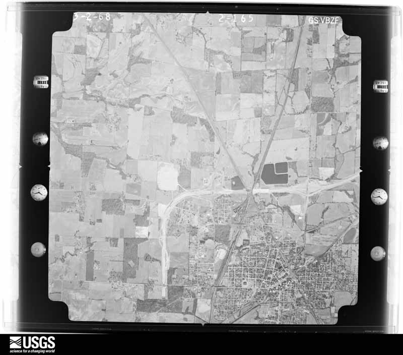
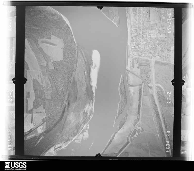
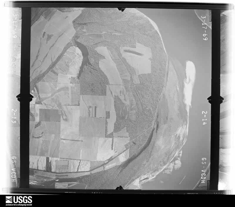
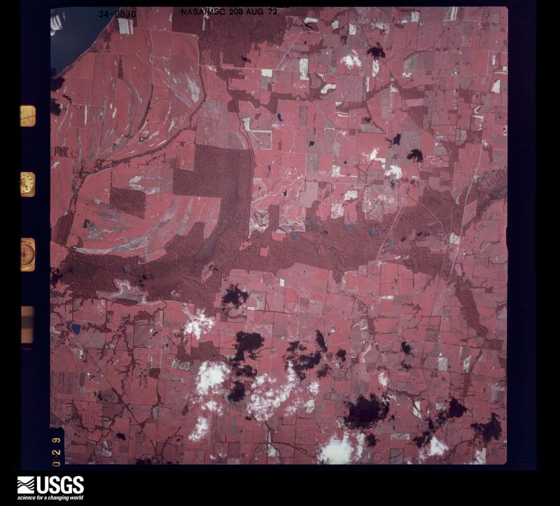
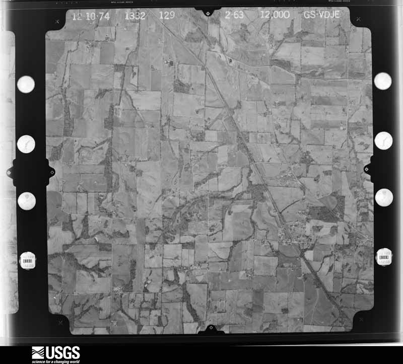
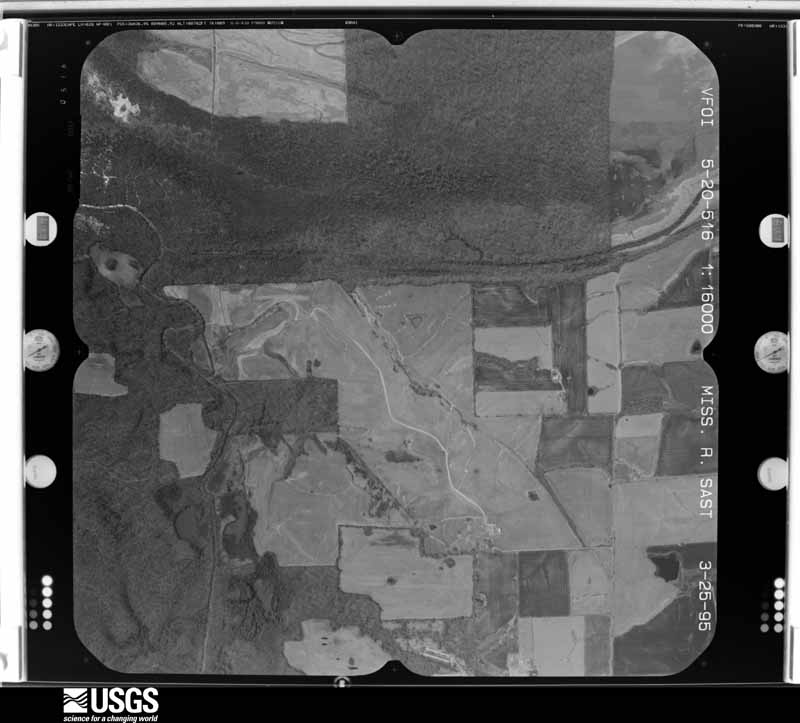
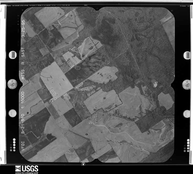
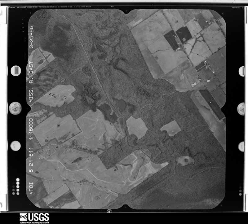
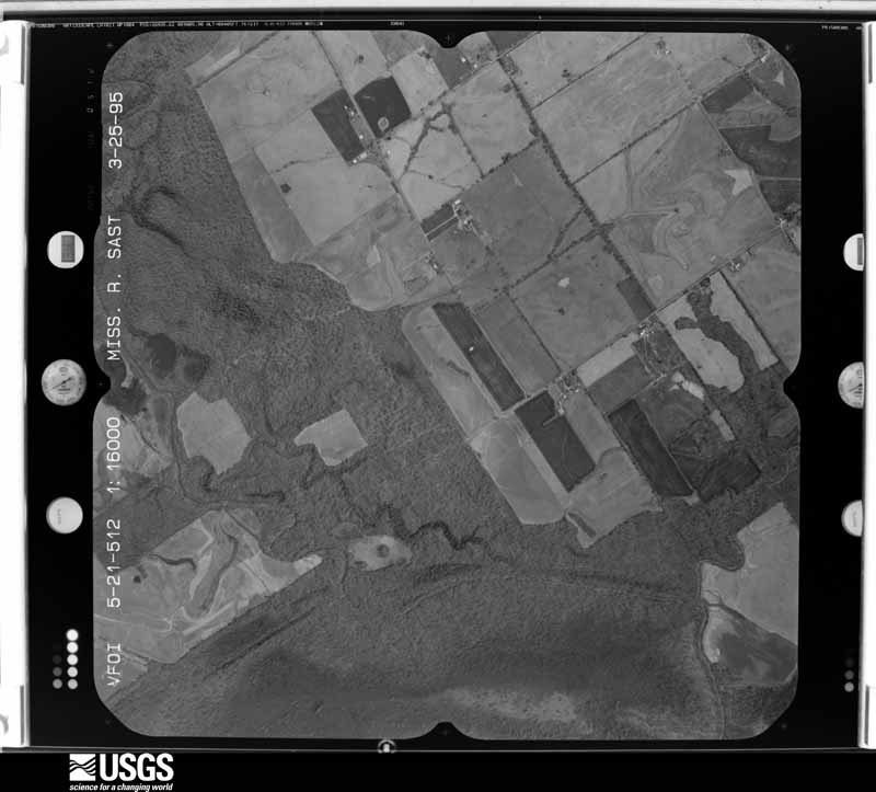
Flown by the U.S. Geological Survey between 1937 and 1989, the Aerial Photo Single Frames collection is the definitive mid-century view of the land: fields, roads and rivers as the camera saw them. The Survey holds 939 frames inside the rectangle that bounds this county; the 35 frames below were taken over the county itself, chosen across the decades of flights (at most four a year from that rectangle), so one flight cannot crowd out the rest. The full set is free to browse and download at EarthExplorer under the dataset Aerial Photo Single Frames.















The thermometers that kept this county's weather, as the federal records hold them. The extremes below are measured values from those records, not estimates.
Who lived here in 1950, one enumeration district at a time, as the Census Bureau described each district. Each row opens its official National Archives result, with Population Schedules and ED Maps available there.
Every wildfire the federal occurrence database records inside this county: 45 of them, burning about 280 acres. None started naturally and 4 were recorded as arson. Each settlement page carries the fires within five miles of it.
| Reported cause | Fires |
|---|---|
| Missing data/not specified/undetermined | 24 |
| Recreation and ceremony | 5 |
| Debris and open burning | 4 |
| Arson/incendiarism | 4 |
| Railroad operations and maintenance | 4 |
| Equipment and vehicle use | 2 |
| Smoking | 2 |
The five largest, by the area the report gives. One of them was set deliberately.
| Date | Cause | Size | Reported by | Name on the report |
|---|---|---|---|---|
| 8 January 2006 | Missing data/not specified/undetermined | 57 acres | Kentucky Division of Forestry | not named |
| 24 August 1999 | Equipment and vehicle use | 50 acres | Kentucky Division of Forestry | not named |
| 22 September 2007 | Railroad operations and maintenance | 30 acres | Kentucky Division of Forestry | not named |
| 27 February 2004 | Missing data/not specified/undetermined | 20 acres | Kentucky Division of Forestry | not named |
| 22 March 2005 | Missing data/not specified/undetermined | 15 acres | Kentucky Division of Forestry | not named |
| 2 March 2006 | Missing data/not specified/undetermined | 14 acres | Kentucky Division of Forestry | not named |
| 24 August 2007 | Arson/incendiarism | 8.0 acres | Kentucky Division of Forestry | not named |
| 3 April 2011 | Missing data/not specified/undetermined | 8.0 acres | Kentucky Division of Forestry | HIGH VOLTS |
Every settlement page carries the fires within five miles of it - see the settlement index below.
The NOAA Storm Events Database holds 230 reports for this county, causing 2 deaths, 9 injuries and about $7,550,550 in recorded property damage. Each settlement page carries the reports that name it.
| Kind of event | Reports |
|---|---|
| Thunderstorm Wind | 91 |
| Hail | 48 |
| Flood | 37 |
| Flash Flood | 31 |
| Tornado | 15 |
| Heavy Rain | 7 |
| Funnel Cloud | 1 |
The most serious of them, by death, then injury, then recorded damage. The accounts are quoted exactly as the forecast office filed them.
| When | Event | Place named | Harm | What the report says |
|---|---|---|---|---|
| December 2021 | Tornado (EF4) | State Line | 1 killed, 5 hurt | This historic EF-4 tornado was associated with a very long-track supercell that originally formed over eastern Arkansas. The supercell produced a nearly continuous tornado damage path from northeast Arkansas across western Tennessee and western Kentucky. The starting point of this particular tornado was in northwest Tennessee, northwest of Union City (see Storm Data, Tennessee, Western for information on this and other tornadoes associated with the supercell). This tornado crossed from Obion County, Tennessee into Fulton County, Kentucky about 6 miles southeast of Hickman, close to the communities of State Line, KY and Woodland Mills, TN. The tornado rapidly widened, becoming over a mile wide across northeast Fulton County. The primary impact to Fulton County was on the community of Cayce, where the tornado achieved a rating of EF-4. This community was the site of the only fatality in Fulton County. A 57-year-old male occupant of a mobile home was killed. On the southwest edge of Cayce, a house was demolished (DI 2, DOD 9). This demolished house was assigned an estimated wind speed of 170 mph, the highest in the county. A small retail building in the center of town was demolished (DI 8, DOD 8). A total of 61 structures were affected in Fulton County, with 21 of those totally destroyed or uninhabitable. A number of vehicles were thrown and destroyed, including some farm equipment. Nearly total tree destruction was observed in the Cayce area. The average path width was a mile. The tornado exited Fulton County into Hickman County in a rural area about 7 miles northwest of Fulton. |
| March 2018 | Flood | Hickman | 1 killed, $100,000 | Moderate flooding continued on the Mississippi River from late February. At New Madrid, Missouri, the river crested at 41.4 feet on March 5, well above the flood stage of 34 feet. A Hickman city police officer perished after attempting to drive through a flooded area on the night of March 2. The 45-year-old male was seen on the roof of his submerged patrol SUV shortly before being swept away with the vehicle. The victim and his vehicle were recovered from a flooded field early on the morning of March 3. Floodgates were raised at Hickman to protect the city. However, bottomland roads and cropland outside the floodwall were submerged. The cropland was mostly dormant this early in the season. Kentucky Highway 94 was closed in the bottomlands west of Hickman, along with several other state roads. The Dorena, MO to Hickman, KY ferry was closed due to the fast river currents and water over roads. |
| July 1995 | Thunderstorm Wind | Countywide | 2 hurt, $75,000 | no account filed |
| January 1964 | Tornado (F1) | not stated | 2 hurt, $2,500 | no account filed |
| August 2023 | Flash Flood | Cayce | $2,000,000 | Widespread flash flooding occurring in Hickman. Numerous roads were closed or impassable. Five homes in Hickman were evacuated due to flash flooding. Numerous streets remained closed through the morning. An area along Kentucky 94 in the downtown Hickman area was blocked for several days where a mudslide occurred, taking trees with it. Kentucky 125 was blocked near the Hickman city limits. The Fulton County mesonet site located two miles east of Hickman observed 11.28 of rain in 33 hours from 3 AM August 3rd through 12 noon August 4th. This broke the previous 2-day rainfall record for Fulton County, which was 9.80 back on January 1-2, 1966. The 24-hour record also was shattered, with 9.69 occurring between 8 AM August 3rd and 8 AM August 4th. The previous 24-hour record for the county was 7.24 set back on September 23, 2006. |
| March 2017 | Tornado (EF2) | Hickman | $1,000,000 | A tornado quickly developed over the city of Hickman and moved southeast across Fulton County. This was the second of two tornadoes in Fulton County. In the center of Hickman, the tornado caused significant damage to the county's jail and 911 communications center, which lost parts of the roof and a section of a wall. About 100 inmates were moved to other facilities. Other damage in Hickman included a heavily damaged gas station, numerous downed signs and power poles, and considerable roof damage to a few homes. The tornado damaged or destroyed more than 45 homes and other buildings in the county, as well as several machine sheds, barns, grain bins, and irrigation systems. At least 20 power poles were broken, and numerous trees were uprooted and snapped. The Kentucky Transportation Cabinet Fulton County Highway Maintenance Facility was hit by the tornado. The salt dome, a tractor shed, and several tractors housed in the shed were damaged. The tornado reached its peak intensity just southeast of Hickman along Highway 125, where a frame house had its entire roof structure blown off. The tornado followed Highway 125 from the center of Hickman to the junction of Highway 166, about 4.5 miles southeast of Hickman. Most state highways were closed in and near Hickman, and the Red Cross opened a shelter. Peak winds were estimated near 125 mph. Straight-line winds up to 80 mph occurred mainly southwest of the tornado path. The tornado crossed into Tennessee along State Route 116. |
| May 2011 | Flood | Hickman | $1,000,000 | Record flooding occurred on the Mississippi River. At the New Madrid, Missouri river gage, the flood crest of 48.35 feet on the night of May 5 broke the previous record (set in 1937) by a few inches. Historic flooding of the Mississippi River severely tested the strength of levees and floodwalls protecting Hickman. Numerous sand boils formed, but the levees remain intact. The bottomlands in the Hickman area were evacuated, and Kentucky Highway 94 was closed in many areas. |
| September 2006 | Flash Flood | Countywide | $800,000 | The first major flood in downtown Fulton since October of 1984 caused severe damage. Every business in downtown Fulton was flooded by four feet of water from Harris Fork Creek. Several people were evacuated after downtown Fulton was flooded. Several roads were closed due to the flooding, including streets surrounding downtown Fulton. The county rescue squad provided a boat, which was used to access residents in flooded areas. In Hickman, 16 residents were evacuated, and at least four houses were damaged by flooding. Highways 94, 51, and 239 were closed. The three-day rainfall total as measured by a co-operative observer in Crutchfield was measured at 9.79 inches. This total is for the period ending the morning of September 24. |
| May 2021 | Tornado (EF2) | Jordan | $310,000 | One home was destroyed, with the roof removed. Multiple outbuildings collapsed. Multiple large trees were snapped and uprooted. Peak winds were estimated near 125 mph. |
| March 1997 | Flash Flood | Fulton | $300,000 | no account filed |
| March 2017 | Tornado (EF1) | Sassafras Ridge | $250,000 | This tornado began in New Madrid County, Missouri, where it briefly attained EF-2 strength. The tornado crossed the Mississippi River at EF-1 intensity into agricultural flatlands of western Fulton County. A swath of highly convergent tree damage occurred in some wooded bottomlands along the Mississippi River levee in Fulton County. As it crossed open farmland, a few farm sheds were destroyed. Power poles and power lines were blown across roads. Swaths of tree damage occurred along tree lines between farm fields. Irrigation pivots were blown over. Several grain bins were destroyed, including a grain bin that was blown over or through a row of trees and across Highway 94. Peak winds were estimated near 110 mph on the Kentucky side of the track. The tornado ended shortly after crossing Kentucky Highway 94 about 2.5 miles west of Hickman. There was scattered tree damage associated with straight-line winds south of the tornado track, likely associated with the rear-flank downdraft. A trained spotter measured a wind gust to 85 mph 5 to 10 miles west of Hickman. |
| May 2011 | Thunderstorm Wind | Fulton Arpt | $100,000 | A few roofs were blown off. A small grain bin was carried across Highway 94. An old shed was destroyed. Several trees and limbs were blown down. |
| May 2006 | Flash Flood | Hickman | $100,000 | Over an hour of torrential rain in thunderstorms produced widespread flash flooding. Evacuations of five families were conducted in the city of Hickman, and up to three feet of water was over a road. Houses were flooded in the city. Mudslides were reported outside the city. Kentucky 94 was closed between Hickman and the Tennessee state line due to flooding. In Fulton, more than a dozen homes and nine public buildings were damaged. The flooded buildings included an attorney's office and several churches. Between 4 and 6 inches of rain was reported by spotters to the county emergency manager. |
| July 2023 | Flash Flood | Anna Lynne | $100,000 | no account filed |
| July 2009 | Thunderstorm Wind | Hickman | $80,000 | A microburst struck the town of Hickman, where the roof was blown off a restaurant. Rainfall then caused extensive damage to parts of the restaurant. Two customers were injured while rushing to escape (indirect injuries). Debris from the restaurant damaged a second home immediately east of the business. A block to the west, a carport roof was blown off. The wall of a small garage was blown inward a couple of feet. Numerous tree limbs were broken off. This microburst contained estimated peak winds of 80 mph. The damage area was about one-quarter mile long and 50 yards wide. Elsewhere in the county, three steel buildings were damaged. There was significant wall damage on one building. Another building had significant damage to the doors. Numerous large limbs were down across the county. There was minor crop damage to area corn fields. |
| February 2021 | Flash Flood | Fulton | $75,000 | Low-lying roads and underpasses were submerged and impassable. Some homes and businesses were affected. |
| February 2011 | Thunderstorm Wind | Hickman | $75,000 | The damage area of this downburst was 150 yards wide and 75 yards long. One grain bin was destroyed, with debris scattered 1000 yards from the foundation. A second grain bin had the roof ripped off and was thrown about 100 yards. A machinery shed was structurally damaged. A carport was peeled back, and a vehicle accessory was damaged. Dozens of large tree limbs were broken. Siding was peeled off a house. |
| August 2023 | Tornado (EF1) | Hickman | $60,000 | This EF-1 tornado began near the center of Hickman, in the Terrace Drive and Sunset Street area. Damage to trees and power lines occurred in this neighborhood. This tornado tracked to the east-southeast, with more tree damage on Bayou Street and Johnson Lane. A large tree fell onto a home on Myron Cory Drive. The tornado crossed Kentucky 125 and proceeded to 7th Street, where the most significant cluster of damage occurred with several trees uprooted, portions of a few trees snapped, and power line damage. One of the trees fell onto a car. The storm was at its peak width around Kentucky 125 and 7th Street. Additional damage to trees occurred on Nelson Street and Harrison Street. The damage path ended at this point, with the tornado lifting after moving into open areas east of Nelson Street. Peak winds were estimated near 105 mph. |
| August 2023 | Thunderstorm Wind | Fulton | $50,000 | A large tree was down, blocking Highway 116 west of Fulton. The tree brought down power lines. Trees were also down on Highway 166 west of Fulton. The city of Fulton had significant tree damage. Roofs were off outbuildings around the county. |
| February 2022 | Tornado (EF0) | Cayce | $50,000 | This weak tornado touched down in agricultural fields south of Highway 1128. As it moved north along Highway 1127, it damaged hog barns, mainly removing roofs. The tornado dissipated in a field just east of Highway 1127. A couple of trees were uprooted. Peak winds were estimated near 75 mph. |
| August 2013 | Flash Flood | Fulton | $50,000 | Flash flooding of streets and low-lying areas was reported. Streets were closed by police and fire personnel. Floodwaters entered a church and a few businesses. |
| January 2000 | Hail | Hickman | $50,000 | Wind-driven hail as large as nickels damaged numerous vehicles and windows in Hickman. Quarter size hail fell in Crutchfield. |
| January 2000 | Thunderstorm Wind | Hickman | $50,000 | Thunderstorm winds produced roof damage. Windows were blown out and trees were down. |
| November 2025 | Tornado (EF1) | Dodd | $40,000 | A narrow EF-1 tornado (peak winds of 100mph) began on KY-94 just east of Hickman. The tornado then slowly moved southeast, mostly across open fields, doing sporadic minor tree damage before snapping 3 power poles along and near KY-166. The tornado ended near Rice Lane south of KY-166. Photos from the event show a very narrow funnel consistent with the narrow damage path. |
| May 2020 | Thunderstorm Wind | Fulton Arpt | $35,000 | Several large tree limbs were down several miles west of Fulton. In Fulton, numerous trees were down in a residential neighborhood just east of downtown. At least one of the trees landed on a vehicle. |
| May 2010 | Tornado (EF1) | Jordan | $35,000 | The tornado touched down southwest of Cayce and travelled northeast, mainly damaging trees. Damage near Cayce consisted of downed trees and limbs caused by the EF-0 tornado. Near Highway 924, the tornado increased to EF-1 intensity and caused some minor damage to houses and outbuildings. One mobile home was moved a few feet, and the roof was torn back. A boat on a trailer was flipped over. Anchored television antennas were pulled out of the ground and bent. The tornado further increased in strength upon crossing into Hickman County. |
| October 2007 | Thunderstorm Wind | Hickman | $35,000 | Numerous trees and power lines were down. One home received damage. |
| February 2022 | Thunderstorm Wind | Cayce | $30,000 | One barn was destroyed, and others were damaged. This wind damage occurred in close proximity to the weak tornado just southwest of Cayce. |
| April 2014 | Tornado (EF1) | Jordan | $30,000 | This tornado continued northeast across the Tennessee state line from Obion County into Fulton County, Kentucky. By the time the tornado reached Kentucky, it was significantly less destructive. The tornado was witnessed by a number of people, including trained spotters. One church received light to moderate damage. A small portion of the church's metal roof was blown off, and the steeple came down. A nearby small, wooden barn was heavily damaged. There was nearby tree damage. Otherwise, all the known damage occurred in the Tennessee portion of the track. The damage occurred in the vicinity of the intersection of Highways 781 and 166 west of Fulton. Peak winds in the Fulton County portion of the track were near 90 mph. |
| February 2011 | Tornado (EF0) | Hickman | $30,000 | This tornado touched down near the intersection of Highways 1099 and 125 and travelled east one mile to the high school. Some windows were blown out of a house. A patio roof was ripped off and thrown 100 yards. Half of a garage roof was blown off. Debris was blown into trees. A mail box was blown over. Some shingles were off of four other homes. A metal dugout was destroyed at the high school. Peak winds were estimated near 80 mph. |
| May 2011 | Flood | Anna Lynne | $30,000 | no account filed |
| May 2024 | Thunderstorm Wind | Anna Lynne | $25,000 | Multiple 4-6 inch limbs and 2 large mature trees were downed by a thunderstorm line moving eastward across Fulton County. One tree was uprooted. A 67 mph wind gust was measured at 0707CST near the intersection of Alexander Rd and KY-1128. Roughly a third of the county was without power mid-morning. |
| March 2017 | Thunderstorm Wind | Fulton Arpt | $25,000 | Along U.S. Highway 51 between Fulton and Crutchfield, one small barn was destroyed. Another old small barn lost a large section of tin roof. |
| April 1973 | Tornado (F2) | not stated | $25,000 | no account filed |
| July 1962 | Tornado (F1) | not stated | $25,000 | no account filed |
| March 2023 | Flash Flood | Cayce | $20,000 | Harris Fork Creek was overflowing and flooding downtown Fulton. Kentucky Highway 94 was closed from the 7 to 11 mile markers in the lower bottomlands between Kentucky 311 and Kentucky 1099 due to water over the road. |
| February 2019 | Flood | Hickman | $20,000 | Moderate flooding of the Mississippi River inundated large areas of agricultural land. The U.S. Army Corps of Engineers assisted with the control of seepage through the levees near Hickman, where sand boils were a concern. Numerous county roads were closed, and about six state roads were closed in the flood plain. Most crops were not planted, so crop losses were small. |
| May 2013 | Thunderstorm Wind | Fulton | $20,000 | Trees and power lines were blown down. |
| April 2008 | Thunderstorm Wind | State Line | $20,000 | Five or six large trees were down. A farm shop was damaged. A power pole was damaged. A small metal building about 8 by 8 feet was destroyed. |
| November 2005 | Thunderstorm Wind | Cayce | $20,000 | A microburst with winds of 70 mph occurred three miles southwest of Cayce along State Line Road. The damage was confined to a small area approximately 150 yards long by 50 yards wide. Part of the roof of a new steel farm equipment shed was blown off. The large sliding door on the windward side of the shed was also blown off. A couple of trees 100 yards downwind of the shed showed some minor damage. |
| April 1999 | Thunderstorm Wind | Hickman | $20,000 | Trees were down and a roof was blown off a metal building. |
| July 1997 | Thunderstorm Wind | Fulton | $20,000 | In Fulton, several trees and a number of large tree limbs were blown down. One business in Fulton sustained roof damage, resulting in damaged computers and inventory. |
| May 1997 | Flash Flood | Hickman | $20,000 | Thunderstorms tracked southeast across Fulton County from southeast Missouri, producing copious rainfall amounts. These storms occurred after 2 to 3 inches of rain fell earlier in the day. Storm water pumps were out of service in Hickman, which contributed to significant flooding of streets there. Creeks rose out of their banks near Fulton. |
| July 1998 | Flash Flood | Countywide | $20,000 | no account filed |
| March 1997 | Flash Flood | Fulton | $20,000 | no account filed |
| April 1996 | Thunderstorm Wind | Hickman | $20,000 | no account filed |
| October 2010 | Thunderstorm Wind | Sassafras Ridge | $19,000 | On Highway 94 near the intersection of Highway 971, a grain bin blew across the road and struck a car. The top of the grain bin was entangled in power lines. A roof corner of a farm shed was peeled back in the same area. A few trees were blown down. |
| May 2025 | Thunderstorm Wind | Hickman | $15,000 | A center pivot turned over on Sycamore Rd and a tree was blown down onto a house in Hickman as a surging portion of a thunderstorm line progressed eastward through northwestern Fulton County. |
| February 2019 | Flood | Hickman | $15,000 | A mudslide resulting from heavy rainfall and flooding compromised a building at a church campus in Hickman. One unoccupied building was damaged. The mayor declared a State of Emergency. |
| April 1998 | Flash Flood | Countywide | $15,000 | Thunderstorms with very heavy rainfall produced widespread flooding. Radar estimated 2 to 3 inches fell in a few hours time. The main problem was flooded roadways and swollen creeks. |
| September 2024 | Thunderstorm Wind | State Line | $10,000 | Small tree limb damage occurred on KY-125 north of Stateline Rd. A roof of a pole barn was blown off. |
| July 2023 | Thunderstorm Wind | Hickman | $10,000 | Trees and power lines were down near Hickman. |
| August 2023 | Thunderstorm Wind | Hickman | $10,000 | Trees were blocking sections of Highway 125 near and southeast of Hickman. Several trees were down southwest of Cayce. There was minor structural damage in this part of Fulton County, mostly roofs off outbuildings. |
| June 2014 | Tornado (EF1) | Tyler | $10,000 | The tornado touched down in the New Madrid bend area of western Fulton County. The New Madrid bend is a bend in the Mississippi River that carves out a plot of land in Fulton County that is not contiguous with the remainder of Fulton County. Hundreds of trees were snapped. Corn fields were flattened. Due to the rural nature of the area, no structures were impacted. Peak winds were estimated near 110 mph. The tornado continued southeast across the Mississippi River into extreme southeast New Madrid County, Missouri near Donaldson Point. |
| June 2011 | Thunderstorm Wind | Fulton | $10,000 | A large sign was toppled. Tree limbs were blown down. |
| August 2011 | Thunderstorm Wind | Hickman | $10,000 | Small trees and some large tree limbs were blown down across Fulton County. A flag pole was snapped northeast of Fulton near the Hickman County line. A mesonet site about two miles east of Hickman measured a wind gust to 57 mph. |
| May 2010 | Flash Flood | Anna Lynne | $10,000 | Kentucky Highway 94 was closed between mile markers 7 and 11 and mile markers 23 and 25. In Hickman, State Highway 125 was closed at 7th Street due to high water from a flooded creek. Several other secondary roads were closed throughout the county. Many other streets and roads around the county that remained open were covered by water. Some motorists were stranded in floodwaters. Two churches in the west part of Hickman were damaged by flooding. Farm fields were flooded. Emergency management personnel reported 4.8 inches of rain in Hickman during the previous 12 hours. Since the evening of April 30, 6.3 inches had fallen. |
| August 2010 | Thunderstorm Wind | Fulton | $10,000 | Wind gusts were estimated near 60 mph. Small trees and tree limbs were blown down. |
| January 2008 | Thunderstorm Wind | Fulton | $10,000 | In Fulton, some shingles were blown from roofs. A few trees were blown down. |
| September 1997 | Flash Flood | Fulton | $10,000 | About a half dozen streets were flooded in Fulton. At a viaduct, water reached as high as four feet. Small creeks were at or above bankful. An observer reported 3.20 inches of rain in 40 minutes. Only one business reported any water damage. |
The Survey's mineral resources record lists 2 workings inside this county. 1 still produces and 1 is closed or unrecorded. Each settlement page carries the workings within five miles of it.
| Commodity | Workings |
|---|---|
| Sand and Gravel, Construction | 1 |
| Graphite | 1 |
The least common of them first, because a county's hundredth gravel pit says nothing its first ten did not.
| Where | Site | Commodity | Status | Recorded |
|---|---|---|---|---|
| Carborundum Co/ Hickman, Ky. | Graphite | Producer | ||
| Emma D. Dredge | Sand and Gravel, Construction | Past Producer |
Named settlements recorded in the Geographic Names Information System, each with the topographic sheets covering it. Villages, hamlets and abandoned places alike. Each is shown with the nearest named watercourse or landform and the survey quadrangle it falls on. The 2 places that were also surveyed for fire insurance come first, with the number of atlases and photographs held for them.
Fulton census division · 42041 · Water Valley quadrangle
10 sheets, 1952 to 1986
Fire insurance: 9 atlases
Hickman census division · 42050 · On Bayou de Chien · Hickman quadrangle
17 sheets, 1939 to 1985
Fire insurance: 9 atlases
Hickman census division · 42050 · On Chute of Island Number 8 · Hubbard Lake quadrangle
14 sheets, 1939 to 1985
Hickman census division · 42050 · Near Wilson Hill · Hickman quadrangle
17 sheets, 1939 to 1985
No longer a settlement
Hickman census division · 42050 · Near Wilson Hill · Bondurant quadrangle
13 sheets, 1939 to 1985
Hickman census division · 42050 · Near Wilson Hill · Hickman quadrangle
17 sheets, 1939 to 1985
Fulton census division · 42041 · Cayce quadrangle
18 sheets, 1939 to 1985
No longer a settlement
Hickman census division · 42050 · Near Indian Mound · Bondurant quadrangle
13 sheets, 1939 to 1985
No longer a settlement
Fulton census division · 42041 · Crutchfield quadrangle
9 sheets, 1952 to 1986
No longer a settlement
Fulton census division · 42041 · Cayce quadrangle
18 sheets, 1939 to 1985
No longer a settlement
Hickman census division · 42050 · Bondurant quadrangle
13 sheets, 1939 to 1985
No longer a settlement
Fulton census division · 42041 · Crutchfield quadrangle
9 sheets, 1952 to 1986
No longer a settlement
Hickman census division · Wolf Island quadrangle
18 sheets, 1939 to 1985
No longer a settlement
The vanished settlements of Fulton County: the places named above that are no longer on the map.
10 topographic sheets and 9 fire insurance atlases, 1886 to 1949
17 topographic sheets and 9 fire insurance atlases, 1886 to 1938
The complete index, with nothing left out. Each of these is a separate record with its own page: a federal survey report, or the case file that argued a property on to the National Register. Both are public domain and reproduced word for word.
The vanished settlements of Fulton County, the places these records name that are no longer on the map.