 Block
Cayce, Kentucky
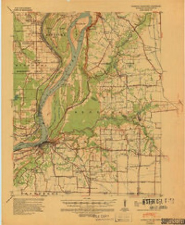
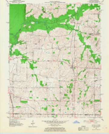
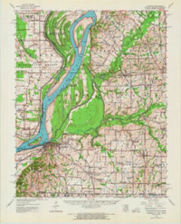
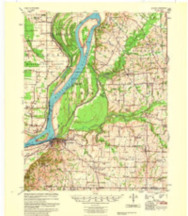
18 topographic sheets cover this place, the earliest surveyed in 1939 and the latest in 1985. It stands in the Fulton census division. It lies in ZIP code area 42041. The Survey maps it on the Cayce quadrangle.
Topographic sheets covering this place
8 surveys from 18 printed sheetsMatched by testing this settlement's coordinate against the published boundary of every sheet in the United States Geological Survey's historical collection. Each opens the scanned sheet at the Survey.
- 1939 USGS Hickman quadrangle1:62500, 4 printings
- 1951 USGS Cayce quadrangle1:24000, 2 printings
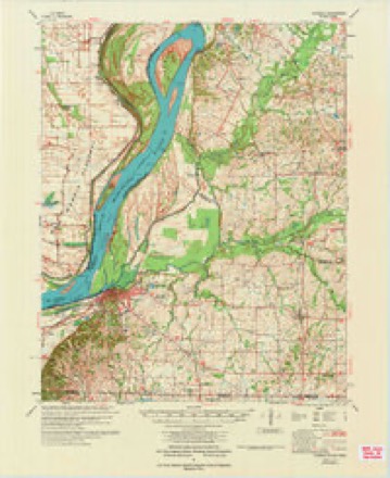
- 1954 USGS Hickman quadrangle1:62500
- 1955 USGS Hickman quadrangle1:62500, 2 printings
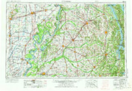
- 1956 USGS Dyersburg quadrangle1:250000, 4 printings
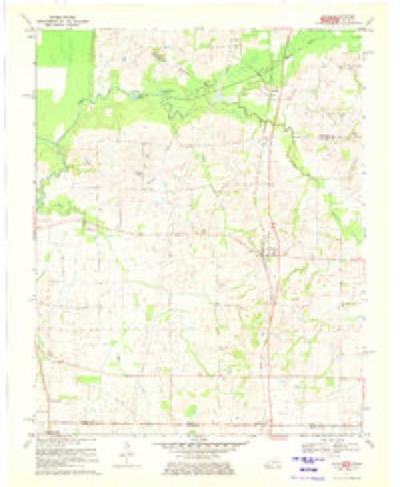
- 1970 USGS Cayce quadrangle1:24000, 2 printings
- 1972 USGS Hickman quadrangle1:62500
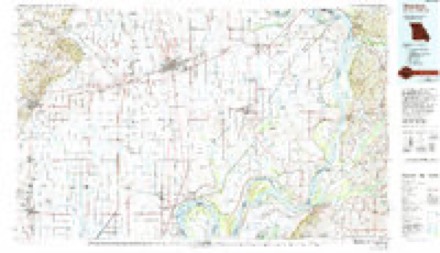
- 1985 USGS Sikeston quadrangle1:100000, 2 printings
Fires near this place
7 since 1998Regional context, not property-specific evidence. The federal wildfire occurrence database lists 7 fires within 5 miles of Cayce between 1998 and 2016, burning about 92 acres in total. None started naturally. None was recorded as arson. Distance is straight-line from the map coordinates, so a fire counted here may appear on a neighbouring settlement's page as well.
| Reported cause | Fires |
|---|---|
| Missing data/not specified/undetermined | 3 |
| Debris and open burning | 2 |
| Smoking | 1 |
| Equipment and vehicle use | 1 |
The most recent of them, most recent first, with the day each was reported and the service that recorded it.
| Date | Cause | Size | Reported by | Name on the report |
|---|---|---|---|---|
| 6 September 2010 | Equipment and vehicle use | 50 acres | Tennessee Division of Forestry | SEVENTY FOUR |
| 24 August 2007 | Smoking | 34 acres | Tennessee Division of Forestry | NINETY ONE |
| 17 April 2016 | Debris and open burning | 2.0 acres | Tennessee Division of Forestry | TWELVE |
| 31 March 1998 | Debris and open burning | 3.0 acres | Kentucky Division of Forestry | not named |
| 2 March 2006 | Missing data/not specified/undetermined | 1.0 acres | Kentucky Division of Forestry | not named |
| 5 November 2005 | Missing data/not specified/undetermined | 1.0 acres | Kentucky Division of Forestry | not named |
| 19 November 2008 | Missing data/not specified/undetermined | 1.0 acres | Kentucky Division of Forestry | not named |
Settlements close enough to share some of these fires:
Storms near this place
27 since 1996Regional context, not property-specific evidence. The National Weather Service names Cayce in 27 storm reports between 1996 and 2025: 12 thunderstorm wind, 5 flood, 4 flash flood, 4 hail. No death or injury is recorded in these reports. Each account below is quoted exactly as the forecast office filed it, from the NOAA Storm Events Database, and each date opens the federal record of that event.
| When | Event | Place named | Harm | What the report says |
|---|---|---|---|---|
| August 2023 | Flash Flood | Cayce | $2,000,000 | Widespread flash flooding occurring in Hickman. Numerous roads were closed or impassable. Five homes in Hickman were evacuated due to flash flooding. Numerous streets remained closed through the morning. An area along Kentucky 94 in the downtown Hickman area was blocked for several days where a mudslide occurred, taking trees with it. Kentucky 125 was blocked near the Hickman city limits. The Fulton County mesonet site located two miles east of Hickman observed 11.28 of rain in 33 hours from 3 AM August 3rd through 12 noon August 4th. This broke the previous 2-day rainfall record for Fulton County, which was 9.80 back on January 1-2, 1966. The 24-hour record also was shattered, with 9.69 occurring between 8 AM August 3rd and 8 AM August 4th. The previous 24-hour record for the county was 7.24 set back on September 23, 2006. |
| February 2022 | Tornado (EF0) | Cayce | $50,000 | This weak tornado touched down in agricultural fields south of Highway 1128. As it moved north along Highway 1127, it damaged hog barns, mainly removing roofs. The tornado dissipated in a field just east of Highway 1127. A couple of trees were uprooted. Peak winds were estimated near 75 mph. |
| February 2022 | Thunderstorm Wind | Cayce | $30,000 | One barn was destroyed, and others were damaged. This wind damage occurred in close proximity to the weak tornado just southwest of Cayce. |
| March 2023 | Flash Flood | Cayce | $20,000 | Harris Fork Creek was overflowing and flooding downtown Fulton. Kentucky Highway 94 was closed from the 7 to 11 mile markers in the lower bottomlands between Kentucky 311 and Kentucky 1099 due to water over the road. |
| November 2005 | Thunderstorm Wind | Cayce | $20,000 | A microburst with winds of 70 mph occurred three miles southwest of Cayce along State Line Road. The damage was confined to a small area approximately 150 yards long by 50 yards wide. Part of the roof of a new steel farm equipment shed was blown off. The large sliding door on the windward side of the shed was also blown off. A couple of trees 100 yards downwind of the shed showed some minor damage. |
| November 1996 | Flash Flood | Cayce | $8,000 | no account filed |
| July 2023 | Thunderstorm Wind | Cayce | $5,000 | Trees were down over a road in Fulton. South of Cayce, a tree was down east of the intersection of Kentucky Routes 166 and 239. |
| January 1996 | Thunderstorm Wind | Cayce | $5,000 | no account filed |
| July 1996 | Thunderstorm Wind | Cayce | $5,000 | no account filed |
| October 2007 | Thunderstorm Wind | Cayce | $3,000 | Highway 239 was blocked by downed trees. |
| July 2001 | Thunderstorm Wind | Cayce | $3,000 | Power lines were blown down. |
| November 2005 | Thunderstorm Wind | Cayce | $2,000 | A microburst with winds of 70 mph occurred. Damage was confined to a small area approximately 300 yards long by 50 yards wide. The damage was near the intersection of Highways 1128 and 239. Several trees were blown down. An old equipment shed that faced south and was open ended on that side, was rolled over and lodged against a row of trees immediately adjacent to it. Homes in the area were missing a few shingles. A poorly anchored carport was blown from its location approximately 100 yards downwind. |
| September 2025 | Thunderstorm Wind | Cayce | $1,000 | A large tree limb was downed by thunderstorm winds near the intersection of KY-94 and KY-1212. Further south, a 46mph wind gust was measured at KY-1128 and Alexander Rd where a basketball goal with a water base was blown backwards. |
| July 2023 | Thunderstorm Wind | Cayce | $1,000 | A large tree was down. |
| February 2025 | Flash Flood | Cayce | - | Flash flooding along the Little Bayou de Chien east of Cayce closed Highway 94. |
| February 2025 | Flood | Cayce | - | Flash flooding from the 15th transitioned to areal flooding just after midnight on the 16th. Portions of Highway 94 east of Cayce and west of Hickman remained closed. |
| January 2025 | Flood | Cayce | - | KY-94 was closed due to high water between KY-781 and Jeffress Road. Radar estimated rainfall was approximately 2-2.5 inches at the time of closure, with an additional inch of rainfall occurring through the late afternoon and evening hours. |
| November 2025 | Hail | Cayce | - | Hail measured to quarter size was reported south of Cayce as a supercell storm tracked southeastward towards Tennessee. |
| December 2021 | Flood | Cayce | - | Water was over the road on Highway 1907 between Kentucky Routes 94 and 781. |
| October 2009 | Flood | Cayce | - | Kentucky 94 was closed between the 9 and 10 mile markers. Water was over Kentucky 1907 near the 2 mile marker. |
| March 2008 | Flood | Cayce | - | Water was over Kentucky Highways 94, 166, 1129, and at least two others. No road closures were reported. |
| November 2006 | Heavy Rain | Cayce | - | Kentucky Highway 1907 was under water near the Little Bayou du Chien. |
| February 2001 | Thunderstorm Wind | Cayce | - | Some tree damage was reported. |
| July 2018 | Hail | Cayce | - | no account filed |
| May 2003 | Hail | Cayce | - | no account filed |
| April 1997 | Hail | Cayce | - | no account filed |
| May 1996 | Thunderstorm Wind | Cayce | - | no account filed |
Nearest settlements
The eight closest, with where each one stands in the county. Distances are straight-line, computed from the Geographic Names Information System coordinates.
| Map | Place | Distance | Sheets |
|---|---|---|---|
| Ebenezer (historical) | 1.8 miles | 18 | |
| Liberty (historical) | 3.0 miles | 18 | |
| Harmony (historical) | 3.4 miles | 9 | |
| Jordan | 3.6 miles | 18 | |
| Union (historical) | 4.1 miles | 9 | |
| Crutchfield | 5.5 miles | 9 | |
| Stubbs | 7.1 miles | 17 | |
| Hickman | 8.0 miles | 17 |
Provenance
This settlement is recorded in the Geographic Names Information System as feature 489154. The sheet list is computed by point-in-boundary test against the United States Geological Survey's historical topographic inventory. Both are works of the United States government and carry no copyright under 17 U.S.C. 105.
Wildfire. Short, Karen C. 2022. Spatial wildfire occurrence data for the United States, 1992-2020 [FPA_FOD_20221014]. 6th Edition. Fort Collins, CO: Forest Service Research Data Archive. https://doi.org/10.2737/RDS-2013-0009.6 Collected with United States Government funding and usable without additional permissions or fees.
Storms. NOAA National Centers for Environmental Information, Storm Events Database https://www.ncei.noaa.gov/stormevents/ A work of the United States government, no copyright under 17 U.S.C. 105. Narratives are quoted verbatim from the National Weather Service report and are not edited or summarised.