 Block
From the record
5 National Register listings published here, 1 of them a National Historic Landmark.
Sources: the National Register database, National Park Service
93 topographic sheets and 7 fire insurance atlases across 2 places.
5 National Register listings published here, 1 of them a National Historic Landmark.
Sources: the National Register database, National Park Service
Taken for the Office of War Information and the Farm Security Administration, who photographed the country between 1935 and 1944. Works of United States government photographers, with no known restriction on use. Each opens its catalogue record.
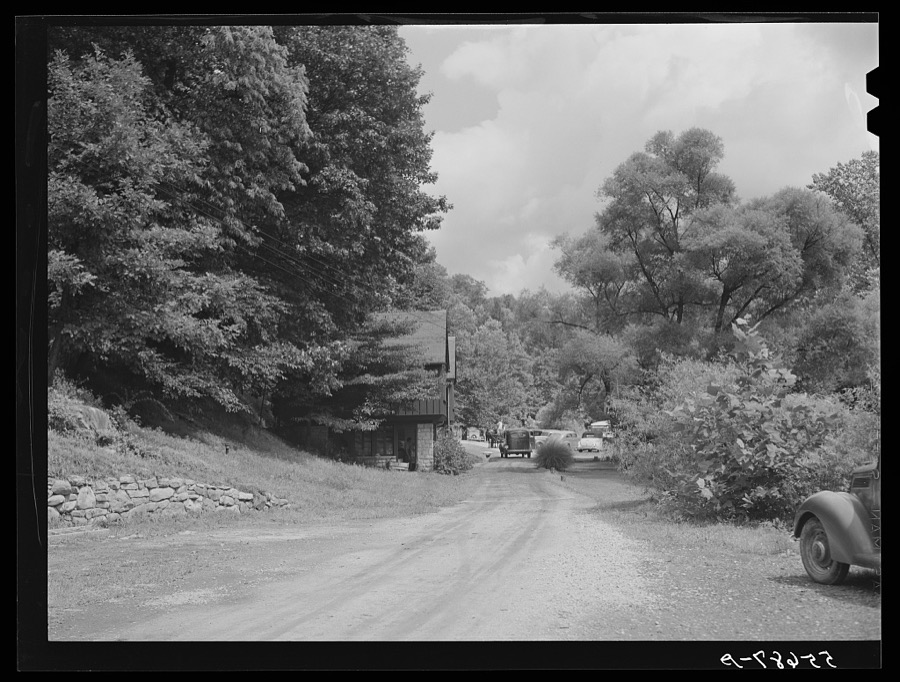
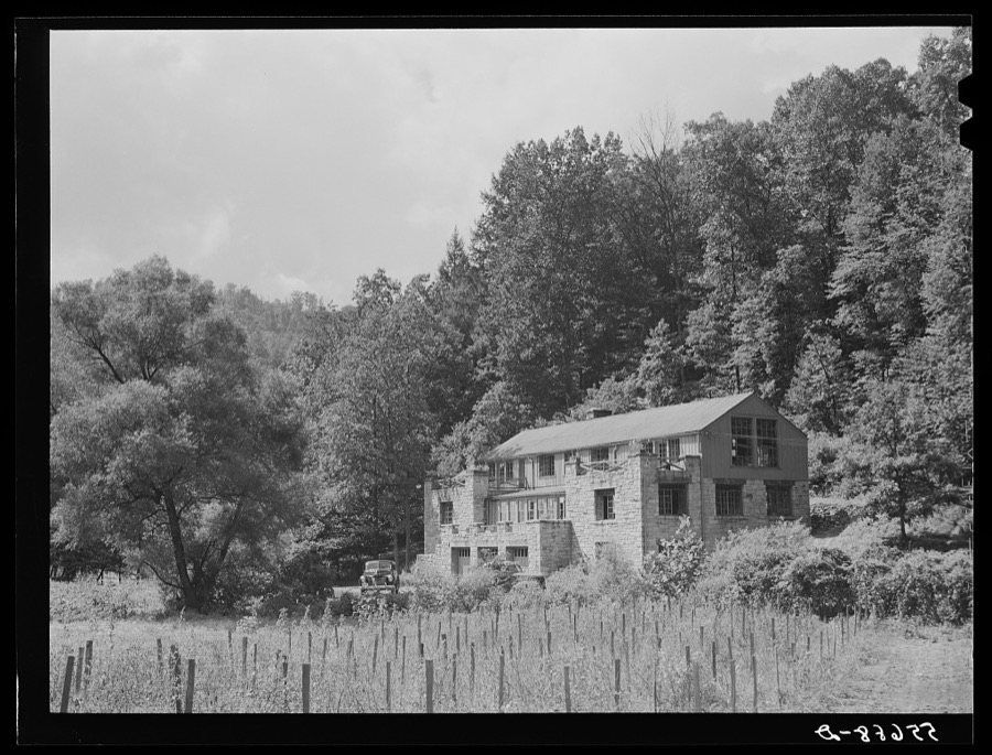
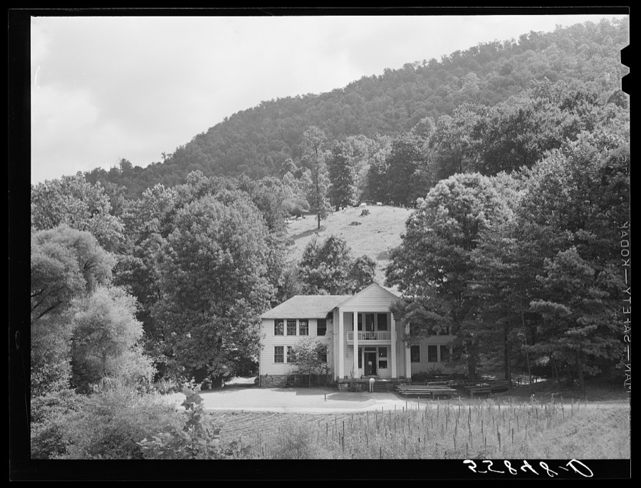

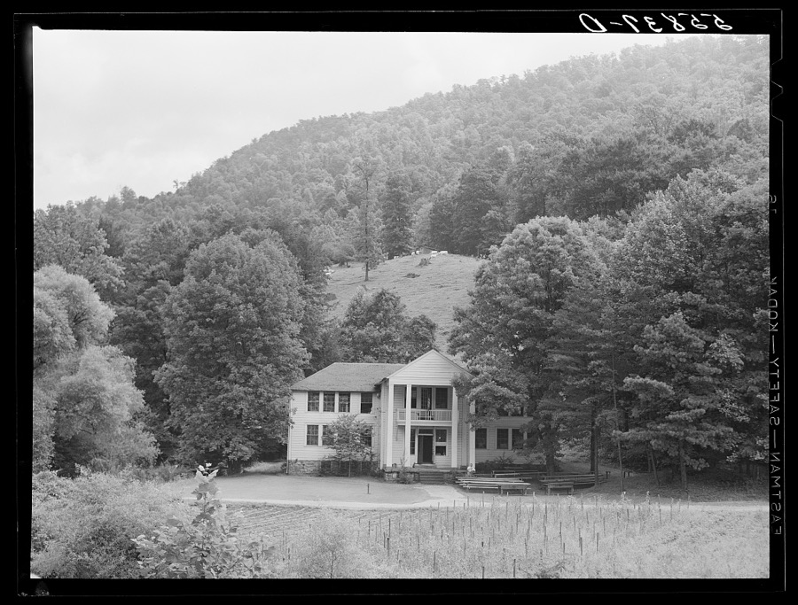
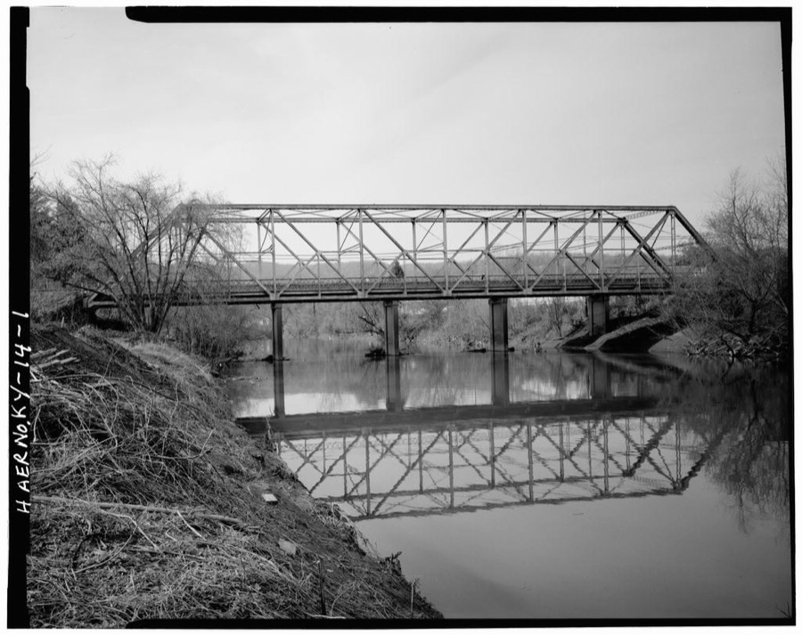
Every property in this county listed on the National Register of Historic Places, with the year it was listed and the federal nomination document.
| Photograph | Property | Type | Listed | Reference |
|---|---|---|---|---|
 | Benham Historic District | district | 1983 | 83002785 |
 | Cumberland Central Business District | district | 1996 | 96000282 |
 | Harlan Commercial District | district | 1986 | 86000461 |
 | Lynch Historic District | district | 2003 | 03000086 |
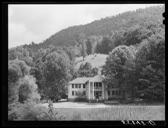 | Pine Mountain Settlement School | district | 1978 | 78001337 |
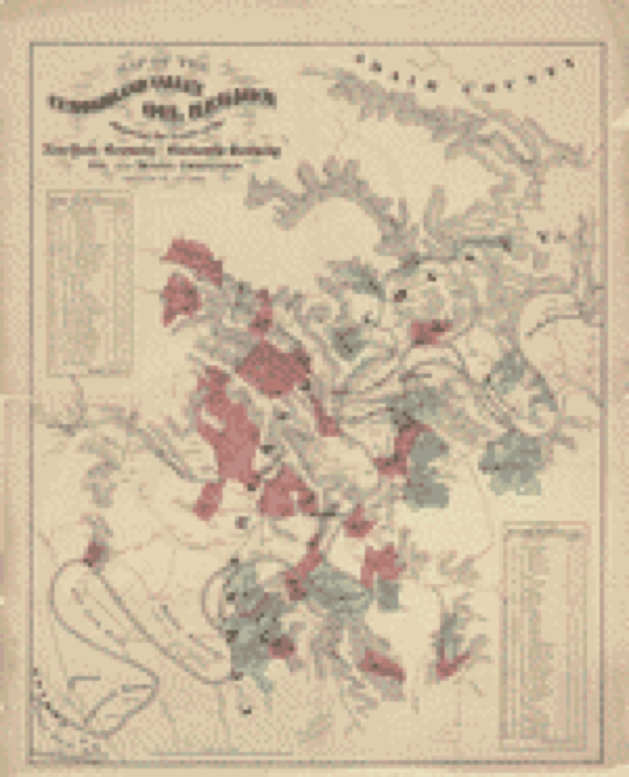
Drawn when these were printed as single large sheets: the town seen from the air, and the county divided into its farms with every owner named. Each opens the original at the Library of Congress.
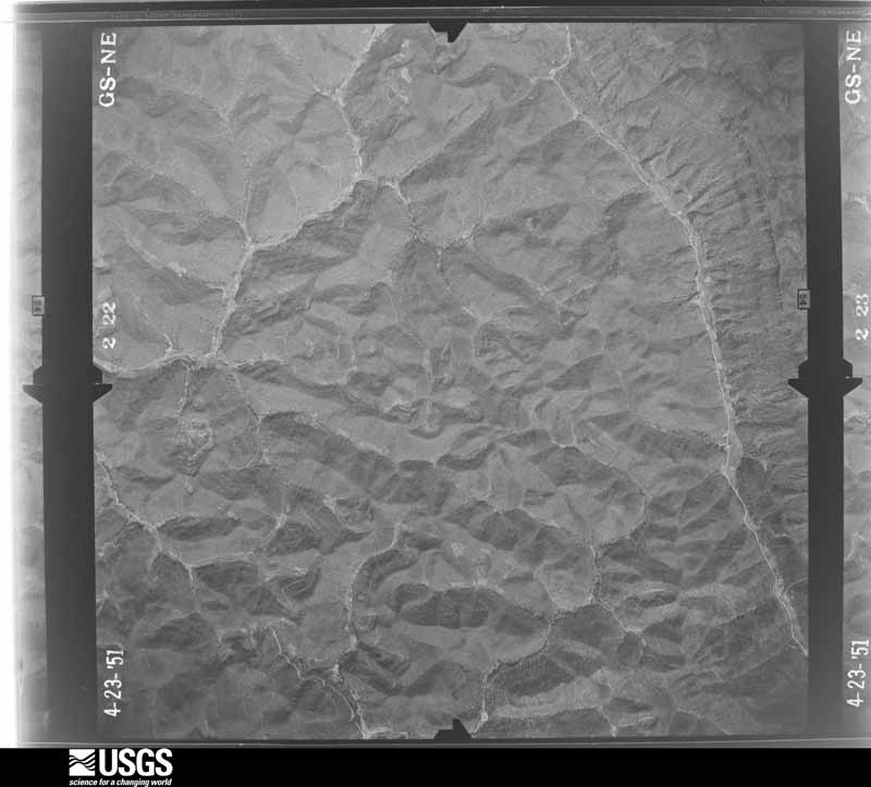
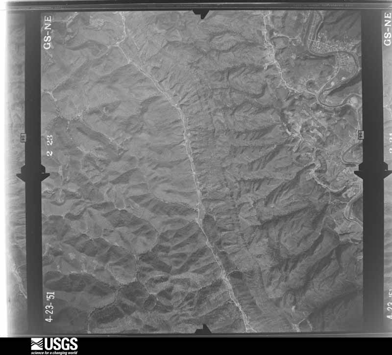
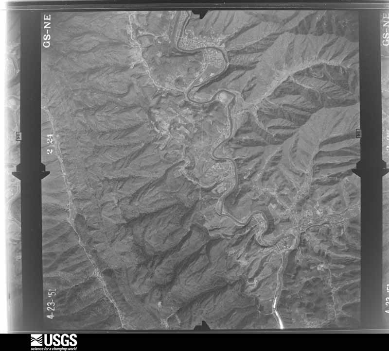
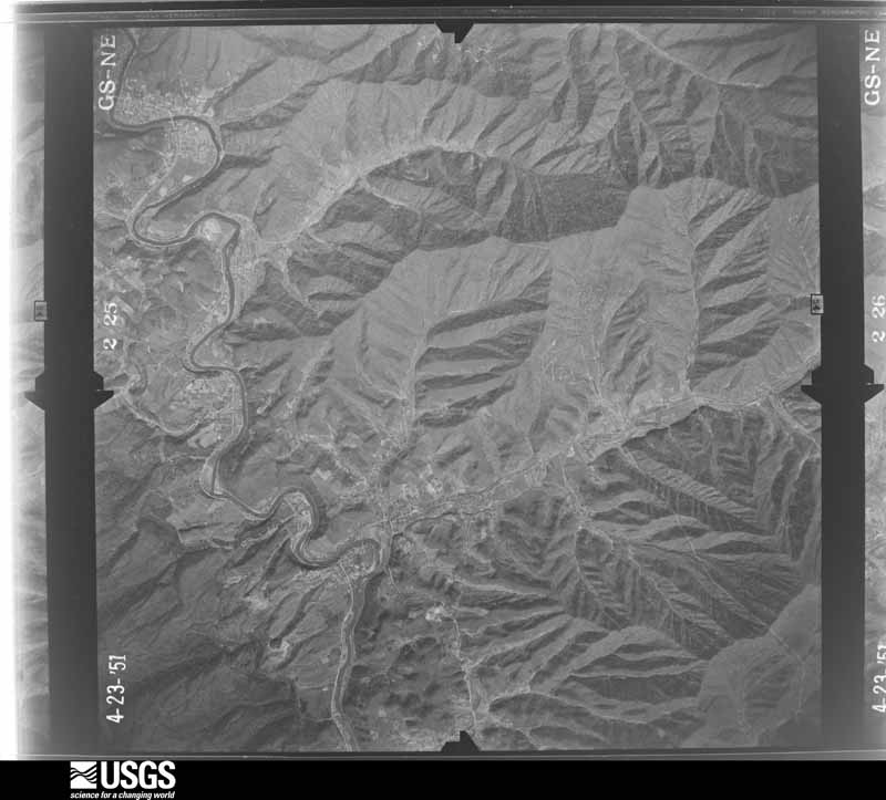
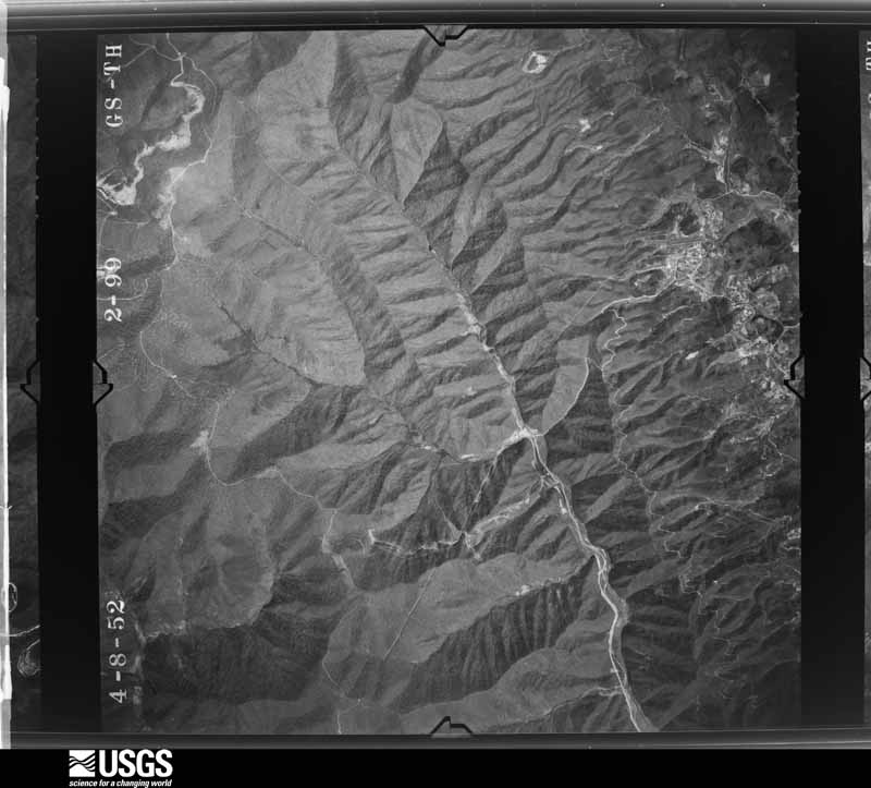
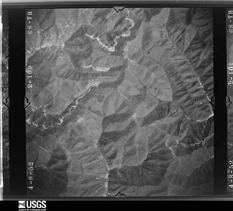
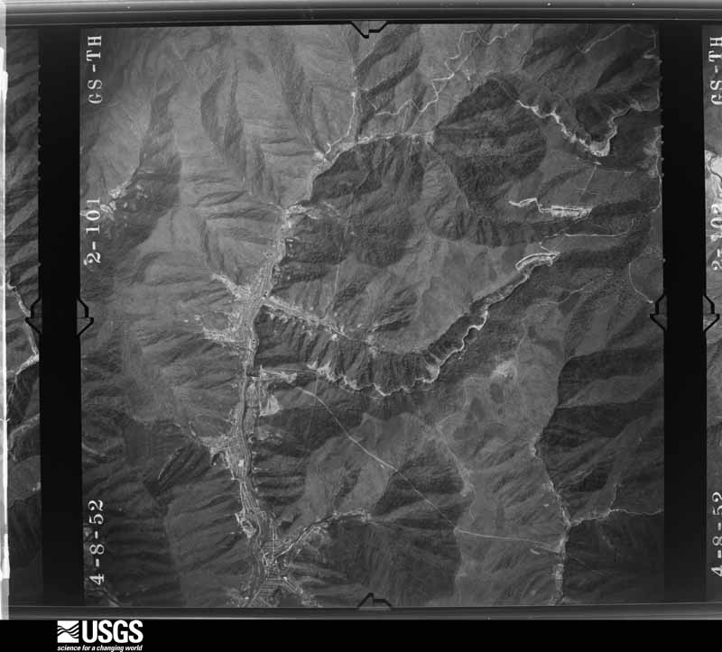
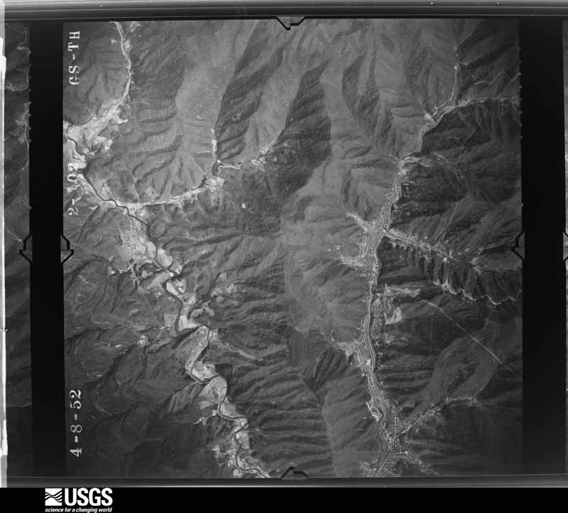
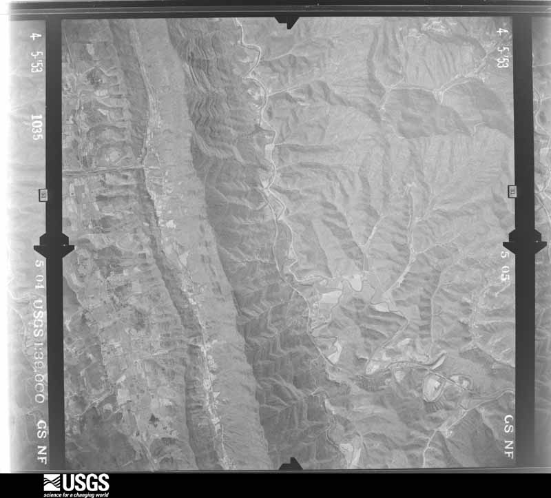
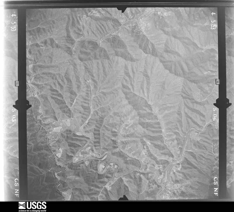
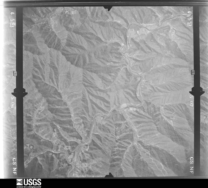
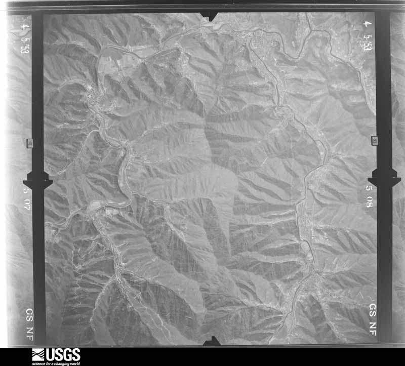
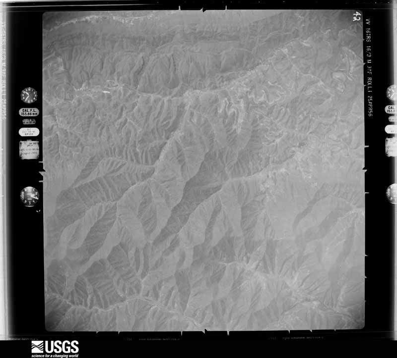
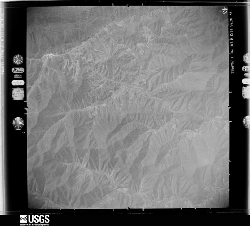
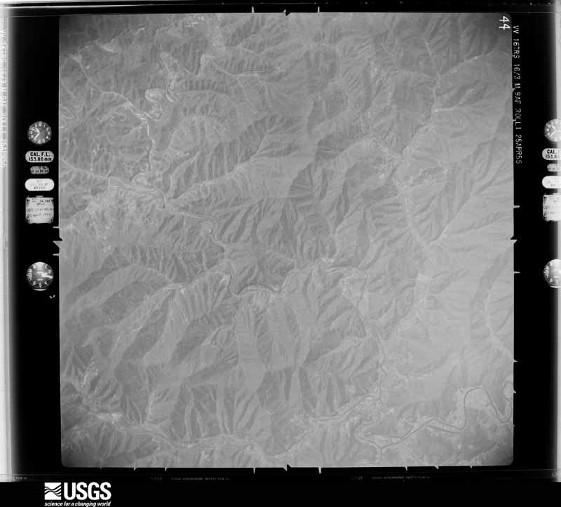
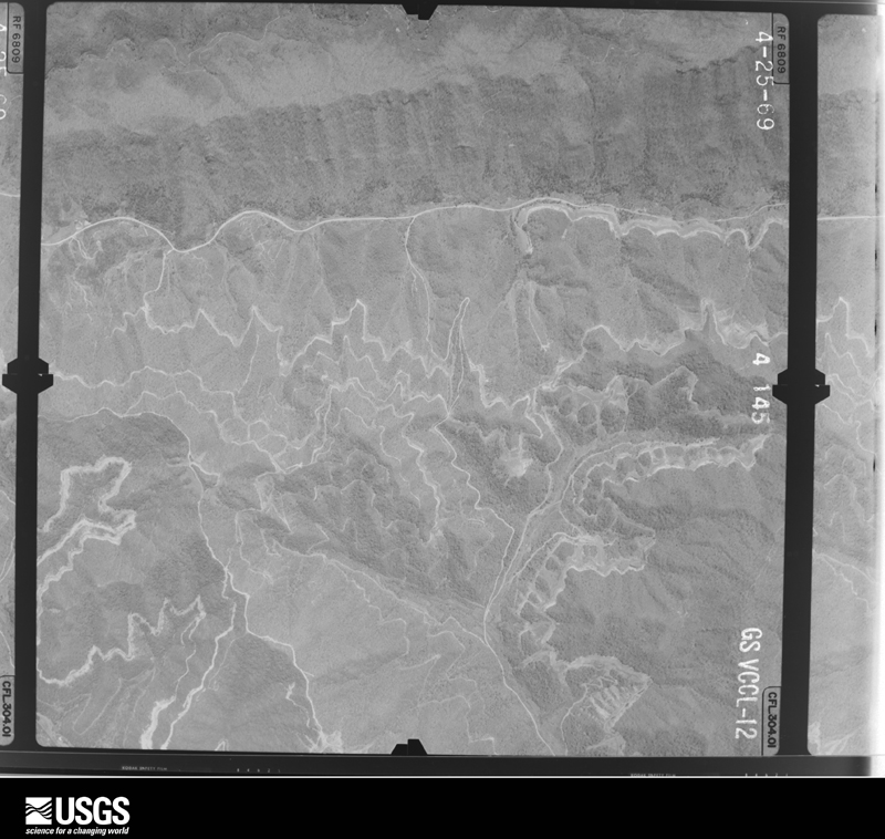
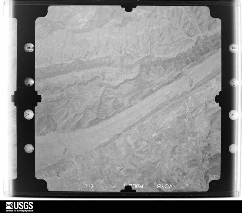
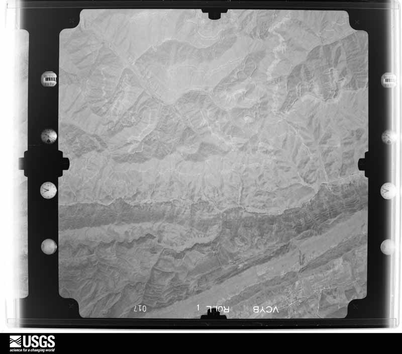
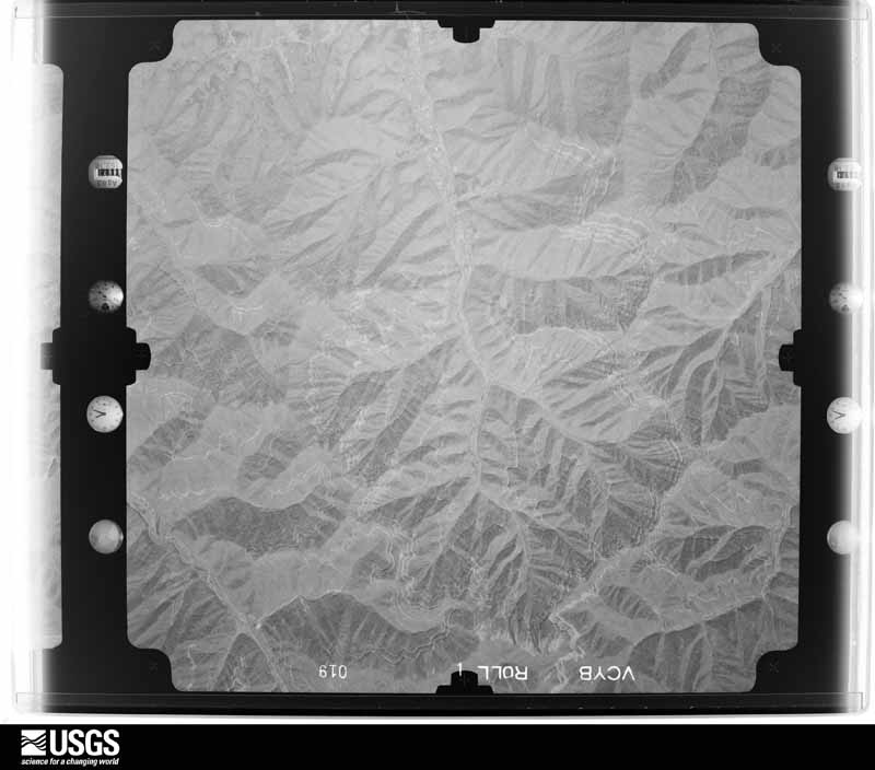
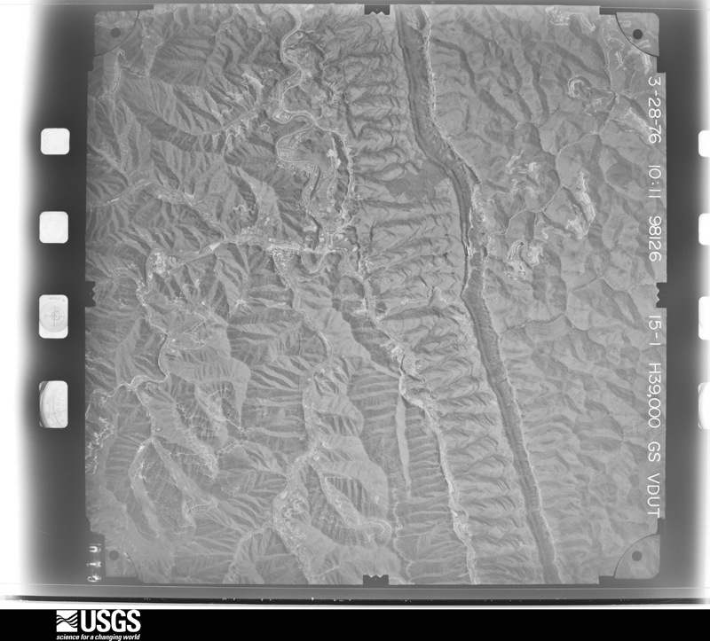
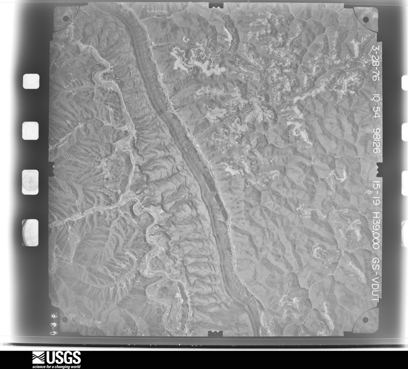
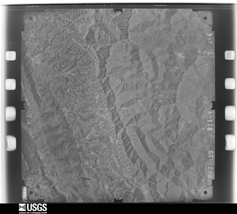
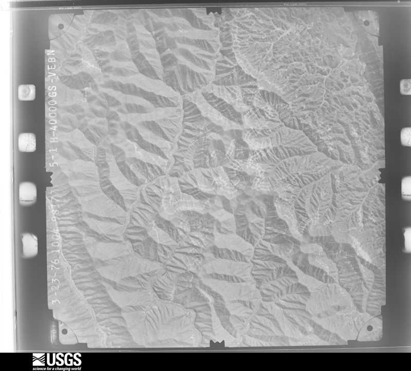
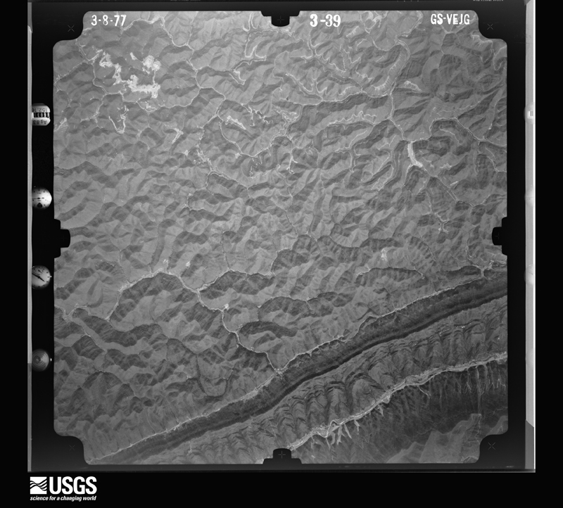
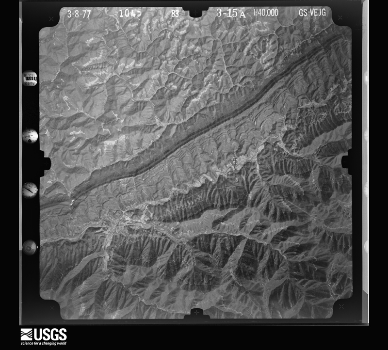
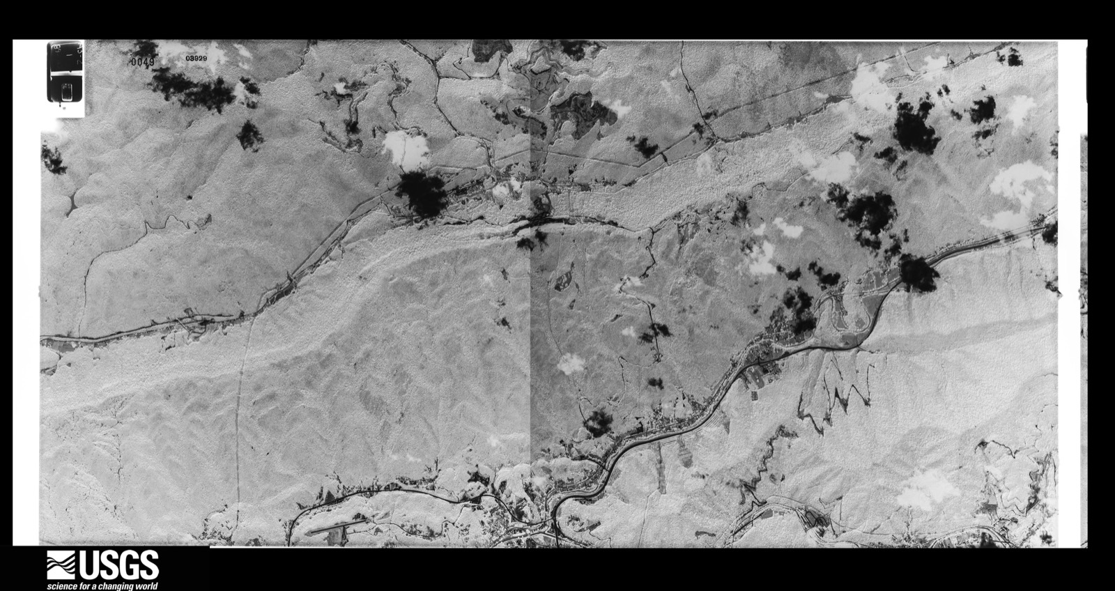
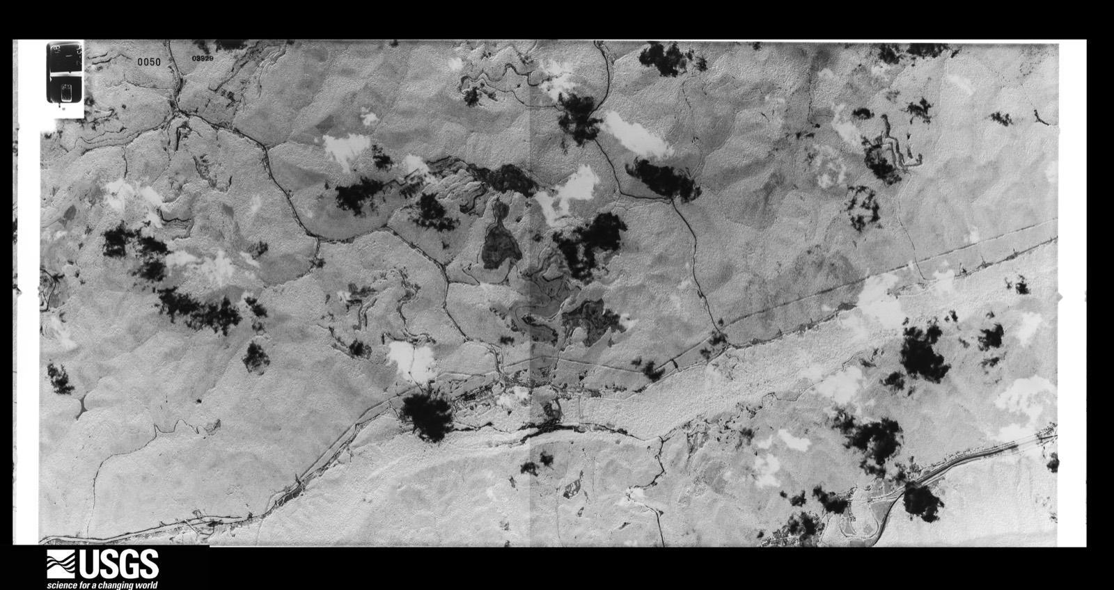
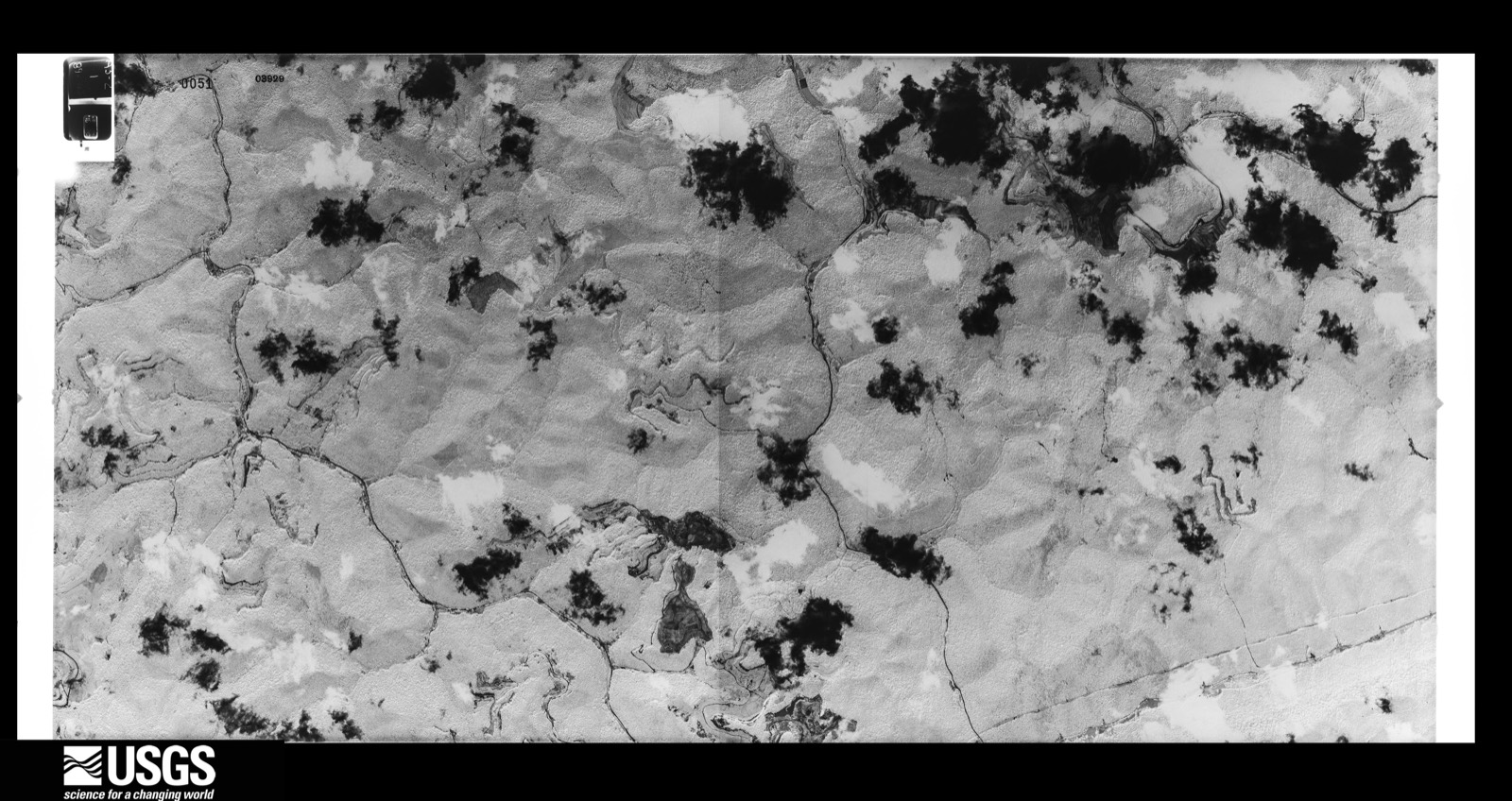
Flown by the U.S. Geological Survey between 1937 and 1989, the Aerial Photo Single Frames collection is the definitive mid-century view of the land: fields, roads and rivers as the camera saw them. The Survey holds 906 frames inside the rectangle that bounds this county; the 38 frames below were taken over the county itself, chosen across the decades of flights (at most four a year from that rectangle), so one flight cannot crowd out the rest. The full set is free to browse and download at EarthExplorer under the dataset Aerial Photo Single Frames.
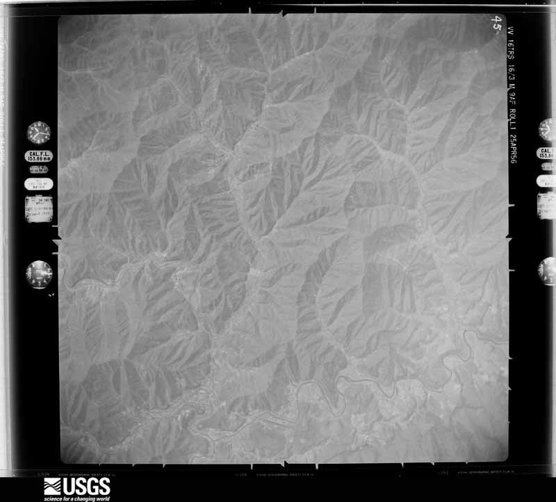
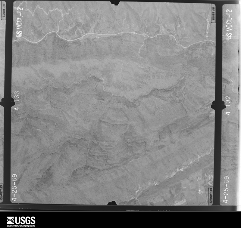
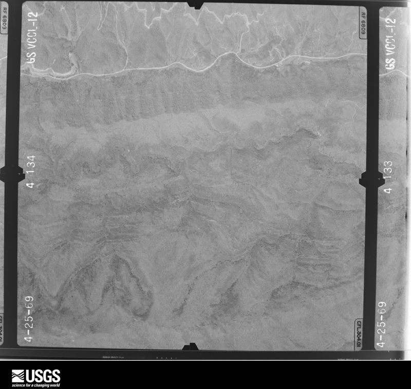
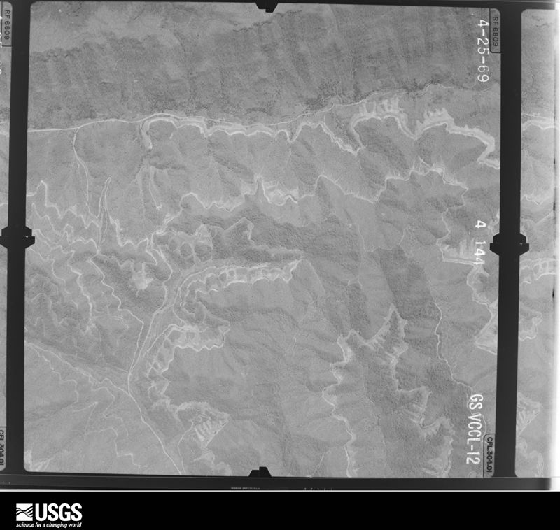





The thermometers that kept this county's weather, and the gages that measured the flow of its streams, as the federal records hold them. The extremes below are measured values from those records, not estimates.
Who lived here in 1950, one enumeration district at a time, as the Census Bureau described each district. Each row opens its official National Archives result, with Population Schedules and ED Maps available there.
Every wildfire the federal occurrence database records inside this county: 671 of them, burning about 58,719 acres. 7 started naturally and 152 were recorded as arson. Each settlement page carries the fires within five miles of it.
| Reported cause | Fires |
|---|---|
| Debris and open burning | 280 |
| Missing data/not specified/undetermined | 169 |
| Arson/incendiarism | 152 |
| Recreation and ceremony | 47 |
| Misuse of fire by a minor | 7 |
| Natural | 7 |
| Equipment and vehicle use | 5 |
| Railroad operations and maintenance | 2 |
| Smoking | 2 |
The five largest, by the area the report gives. Three of them were set deliberately.
| Date | Cause | Size | Reported by | Name on the report |
|---|---|---|---|---|
| 1 November 2016 | Recreation and ceremony | 7,400 acres | Kentucky Division of Forestry | NOLANSBURG |
| 1 November 2000 | Arson/incendiarism | 3,860 acres | Kentucky Division of Forestry | not named |
| 30 October 2000 | Arson/incendiarism | 3,539 acres | Kentucky Division of Forestry | not named |
| 30 October 2000 | Missing data/not specified/undetermined | 3,300 acres | Kentucky Division of Forestry | not named |
| 28 October 2000 | Arson/incendiarism | 2,252 acres | Kentucky Division of Forestry | not named |
| 12 November 2005 | Missing data/not specified/undetermined | 2,200 acres | Kentucky Division of Forestry | LYNCH FIRE |
| 31 October 2000 | Debris and open burning | 1,772 acres | Kentucky Division of Forestry | not named |
| 2 November 2000 | Debris and open burning | 1,542 acres | Kentucky Division of Forestry | not named |
Every settlement page carries the fires within five miles of it - see the settlement index below.
The NOAA Storm Events Database holds 294 reports for this county, causing 2 deaths, 3 injuries and about $8,553,650 in recorded property damage. Each settlement page carries the reports that name it.
| Kind of event | Reports |
|---|---|
| Thunderstorm Wind | 165 |
| Hail | 65 |
| Flash Flood | 32 |
| Flood | 20 |
| Heavy Rain | 9 |
| Tornado | 2 |
| Debris Flow | 1 |
The most serious of them, by death, then injury, then recorded damage. The accounts are quoted exactly as the forecast office filed them.
| When | Event | Place named | Harm | What the report says |
|---|---|---|---|---|
| February 1997 | Thunderstorm Wind | Ages | 2 killed, $10,000 | no account filed |
| April 2014 | Thunderstorm Wind | Dressen | 3 hurt | A Storm Survey Team comprised of officials from the National Weather Service and Harlan County Emergency Management determined that the wind damage that occurred on Monday April 28th in the Harlan and Evarts Communities of Harlan County was caused by straight-line winds of up to 90 mph. The thunderstorm which caused the damaging winds moved from Tennessee across southeast Whitley County, Bell County and Harlan County producing sporadic wind damage along it's path. The damage in Harlan County included several large hardwood and softwood trees either uprooted or snapped at the base, and damage to at least three structures. Three minor injuries were reported as well.||While a couple witnesses stated that a funnel cloud was observed, all damage surveyed was blown in a northeasterly direction, consistent with straight line wind damage. Either the funnel cloud didn't touch down, or only did so very briefly and the touchdown location was indistinguishable from the straight-line wind damage. |
| February 2020 | Flood | Sand Hill | $5,000,000 | A local newspaper and citizens reported a couple of mobile homes being swept into the Cumberland River outside of Harlan as the river overspilled its banks. Approximately 70 homes were reported to have been impacted by flood waters across the county. Various streets, especially northeast of Harlan, were closed due to flood waters, including Kentucky Highway 413 from U.S. Highway 421 to Kentucky Highway 522. Portions of U.S. Highway 119 were also closed around Loyall and Baxter near the Cumberland River as major flood stage was reached. This forced the closure of flood gates in Harlan. |
| April 2013 | Flash Flood | Harlan | $1,000,000 | A foot of water was flowing over May Street. A couple of mudslides and a flooded business were reported in the Middle of Harlan as well. Substantial damage was done to roads across the county, mainly from urban and small stream flooding and from ditches washing out. |
| April 2007 | Tornado (EF0) | Cawood | $700,000 | An EF0 tornado with estimated winds at 75 mph, a path length of 1 mile and a path width of 50 yards snapped numerous large trees, destroyed an old barn, and damaged a few outbuildings and roofs. |
| February 2018 | Flood | Cranks | $500,000 | Numerous roads in Cranks, Evarts, and Harlan and elsewhere around the county were closed or impassable due to flooding. A written state of emergency was declared for Harlan County during the height of the flooding. |
| June 2016 | Flash Flood | Bledsoe | $500,000 | Law enforcement reported several instances of significant flash flooding between Bledsoe and Baxter. Radar estimates and rain gauges indicated 3 to 6 inches of rain fell across Harlan County, with one cooperative observer 3 miles north of Harlan measuring 6.02 inches of rain. Considerable property damage was incurred, including that to between 75 to 100 homes as well as several fences and yards. Some homes in Bledsoe ended up with 3 to 4 feet of water inside of them. Roads and small bridges along U.S. Highway 421 were washed away as creeks spilled over their banks. Roads were further hampered by a rock/mud slide at U.S. Highway 119 and Sukey Ridge Rd outside of Baxter. The Kentucky State Emergency Operations Center received requests for assistance and resources from county officials as written declarations were also composed. American Red Cross teams were mobilized to Harlan County, providing food and water to residents. |
| April 2013 | Flash Flood | Cranks | $200,000 | Highway 421 was flooded near Cranks. |
| April 2011 | Thunderstorm Wind | Harlan | $50,000 | There were trees blown down, roofs blown off, including a small supermarket, billboards down. power lines down, and numerous windows blown out of downtown businesses. |
| May 2008 | Thunderstorm Wind | Harlan | $50,000 | Numerous reports were received of downed trees and power lines. The State Police reported that at least 50 trees had fallen across roads as a result of thunderstorm wind gusts. |
| April 2007 | Thunderstorm Wind | Harlan | $50,000 | Sunshine Fire Dept. reported multiple trees and power lines down around Highway 72 and 421 bypass. |
| March 2002 | Flash Flood | Closplint | $50,000 | Heavy rains that fell on March 17 and March 18 caused several evacuations as well as numerous road closures across much of Harlan County. 12 hour rainfall amounts exceeded three inches. |
| May 2002 | Hail | Harlan | $30,000 | Golfball size hail caused damage to some vehicles. |
| February 2019 | Heavy Rain | Teetersville | $25,000 | Department of Highway officials reported that Kentucky Highway 72 was blocked between Kentucky Highway 2425 and Pruitt's Curve due to a large rock slide. Crews were able to open one lane by late morning, following the Harlan County Judge Executive declaring a State of Emergency. This was likely caused by 1.5 to 2 inches of rain on top of saturated terrain. Crews worked to clean up the slide for the next 5 weeks, causing travel impacts. |
| June 2018 | Flash Flood | Coxton | $25,000 | A local media outlet reported flash flooding from near Coxton to Ages, as well as in Jones Creek where flowing water approached homes and carried away vehicles and culverts. |
| June 2022 | Thunderstorm Wind | Cumberland | $20,000 | A tree fell on a house on Parker St. in Cumberland, KY. No injuries were reported. |
| June 2009 | Thunderstorm Wind | Wallins Creek | $20,000 | Numerous trees were blown down on Wallins Creek. Winds were estimated at 70 mph. |
| April 2007 | Tornado (EF0) | Tway | $20,000 | An EF0 tornado with estimated winds around 80 mph, a path length of 0.3 miles and a width of 25 yards, damaged a maintenance building and heavily damaged a trailer roof. |
| April 1998 | Flash Flood | Countywide | $20,000 | no account filed |
| April 2007 | Thunderstorm Wind | Grays Knob | $15,000 | Numerous large limbs down on Highway 421 from Grays Knob to Cawood. Shingles and tin torn from rooftops and small outbuildings blown over. |
| May 2025 | Thunderstorm Wind | Evarts | $10,000 | Tractor trailer reportedly blown over on KY-38 near the Marathon gas station. |
| July 2020 | Flash Flood | Cumberland | $10,000 | Two to three inches of rain fell in the Cumberland community of Harlan County. City police reported high water across a handful of streets in the community, including multiple road closures. College road along the south side of town was among those listed. The police department also reported that one of their police cruisers was stuck in the flood waters and would not start. |
| June 2009 | Thunderstorm Wind | Loyall | $10,000 | Trees were blown down. |
| June 2009 | Thunderstorm Wind | Harlan | $10,000 | Trees were blown down in the city of Harlan. |
| June 2009 | Thunderstorm Wind | Cawood | $10,000 | Law enforecement reported that 10 trees were blown down in Cawood near Highway 3001. |
| January 2008 | Thunderstorm Wind | Rosspoint | $10,000 | Approximately 10 trees were blown down and blocking roads. This damage was caused by wind gusts estimated at 62 mph. |
| May 2004 | Thunderstorm Wind | Countywide | $10,000 | Trees fell on some homes. |
| August 2001 | Flash Flood | Totz | $10,000 | Three homes were flooded as Kentucky Highway 522 was covered with water. |
| July 2008 | Thunderstorm Wind | Wallins Creek | $8,000 | Numerous wrist size tree limbs were blown down by thunderstorm wind gusts. |
| June 2008 | Hail | Wallins Creek | $8,000 | Several tree limbs the size of a persons wrist were blown down by thunderstorm wind gusts. |
| June 2009 | Thunderstorm Wind | Bledsoe | $7,000 | Power lines were blown down. |
| May 2008 | Thunderstorm Wind | Harlan | $7,000 | Thundestorm wind gusts downed several power lines in the Browning Acres neighborhood. |
| June 2022 | Thunderstorm Wind | Harlan | $6,000 | Radio operators received numerous reports of wind damage including damaged signs, shingles removed from roofs, large tree limbs down, and debris in the road in downtown Harlan in the area of Main and Clover Streets. |
| June 2009 | Thunderstorm Wind | Low | $6,000 | A trained spotter reported that 5 trees had been blown down near his and that he had lost power. |
| July 2008 | Thunderstorm Wind | Coldiron | $6,000 | A tree and 10 large limbs were blown down by thunderstorm wind gusts. |
| September 2018 | Flood | Baxter | $5,000 | Local broadcast media and dispatch relayed reports of nearly 3 feet of standing water in a poor drainage area on Duffield Street in Harlan. Farther southwest of Harlan, runoff caused Little Creek in Crawford Branch to develop a swift enough current to wash out a culvert on a driveway on Kentucky Highway 2425. |
| March 2012 | Thunderstorm Wind | Putney | $5,000 | Trees were blown down along Hwy 522 in Putney. |
| June 2011 | Thunderstorm Wind | Cumberland | $5,000 | Trees approximately 3 inches in diameter were blown down in yards. Tree limbs were blown down and into roads as well. |
| April 2011 | Thunderstorm Wind | Evarts | $5,000 | There was a mudslide with trees blocking KY 38. |
| April 2011 | Thunderstorm Wind | Putney | $5,000 | There were trees reported down along KY 522 in Harlan county. |
| June 2009 | Thunderstorm Wind | Evarts | $5,000 | Power lines were downed by thunderstorm wind gusts. |
| June 2009 | Thunderstorm Wind | Cumberland | $5,000 | Power lines were blown down. |
| June 2009 | Thunderstorm Wind | Loyall | $5,000 | Power lines were blown down. |
| June 2009 | Thunderstorm Wind | Evarts | $5,000 | Trees were blown down. |
| June 2009 | Thunderstorm Wind | Evarts | $5,000 | Trees were blown down in the city of Evarts. |
| July 2008 | Thunderstorm Wind | Harlan | $5,000 | A tree fell on a dentist office in Harlan during a severe thunderstorm. Numerous trees were also reported down throughout the county. |
| December 1998 | Thunderstorm Wind | Verda | $5,000 | Numerous reports of trees and power lines downed throughout county. One tree fell onto a trailer at Brittians Creek. |
| April 1998 | Flash Flood | Countywide | $5,000 | no account filed |
| May 1996 | Flash Flood | Wallins Creek | $5,000 | no account filed |
| November 1996 | Flash Flood | Cranks | $5,000 | no account filed |
| April 2011 | Thunderstorm Wind | Evarts | $4,000 | A trained spotter reported that several 3 to 5 inch diameter limbs were blown from trees in Evarts. Some shingles were also blown off of his home as the storm passed. The spotter also reported seeing a wall cloud on the southwest flanks of the storm. |
| June 2009 | Thunderstorm Wind | Holmes Mill | $4,000 | Half a dozen trees were blown down along Highway 38. A tree had fallen onto a car at Goose Bottom as well. |
| May 2008 | Thunderstorm Wind | Harlan | $4,000 | Four trees were blown down in the Wallens Creek area. |
| July 2023 | Thunderstorm Wind | Keith | $3,000 | Several trees were blown down onto powerlines in the Holiday Acres Trailer Park near the community of Loyall. |
| June 2022 | Thunderstorm Wind | Brookside | $3,000 | Trees were blown down and roofing material was removed from a structure in the Brookside community. |
| June 2011 | Thunderstorm Wind | Cumberland | $3,000 | Multiple large tree limbs and branches were blown down in yards and roadways near Cumberland. |
| August 2010 | Thunderstorm Wind | Evarts | $3,000 | Three trees were blown down in Evarts. |
| March 2008 | Thunderstorm Wind | Wallins Creek | $3,000 | One tree was blown down onto power lines in Wallins Creek. |
| June 2007 | Hail | Wallins Creek | $3,000 | Quarter size hail lasted for 20 minutes and covered the ground. Also trees were blown down in front yard. |
| August 1997 | Thunderstorm Wind | Closplint | $3,000 | Power lines were downed. |
The Survey's mineral resources record lists 5 workings inside this county. 1 still produces and 4 are closed or unrecorded. Each settlement page carries the workings within five miles of it.
| Commodity | Workings |
|---|---|
| Clay | 3 |
| Stone, Crushed/Broken | 1 |
| Silica | 1 |
The least common of them first, because a county's hundredth gravel pit says nothing its first ten did not.
| Where | Site | Commodity | Status | Recorded |
|---|---|---|---|---|
| Harlan Mine | Stone, Crushed/Broken | Producer | ||
| Pine Mountain Sandstone Outcrop | Silica | Prospect | ||
| Jesse Spur Roadcut | Clay | Prospect | ||
| Kentenia Shale | Clay | Prospect | ||
| Wallins Creek South Shale | Clay | Prospect |
Named settlements recorded in the Geographic Names Information System, each with the topographic sheets covering it. Villages, hamlets and abandoned places alike. Each is shown with the nearest named watercourse or landform and the survey quadrangle it falls on. The 2 places that were also surveyed for fire insurance come first, with the number of atlases and photographs held for them.
Cumberland census division · 40823 · On Looney Creek · Benham quadrangle
20 sheets, 1894 to 1981
Fire insurance: 2 atlases
Harlan census division · 40831 · On Martins Fork Cumberland River · Harlan quadrangle
25 sheets, 1887 to 1977
Fire insurance: 5 atlases
Alva census division · 40863 · On Littlefield Branch · Ewing quadrangle
28 sheets, 1887 to 1977
Harlan census division · 40828 · On Left Fork Bailey Creek · Nolansburg quadrangle
23 sheets, 1887 to 1977
Harlan census division · 40806 · On Poor Fork Cumberland River · Harlan quadrangle
25 sheets, 1887 to 1977
Cumberland census division · 40823 · On Maggard Branch · Benham quadrangle
20 sheets, 1894 to 1981
Upper Clover Fork census division · 40849 · On Kelly Branch Clover Fork · Nolansburg quadrangle
23 sheets, 1887 to 1977
Pine Mountain census division · 40808 · On Big Laurel Creek · Nolansburg quadrangle
23 sheets, 1887 to 1977
Upper Clover Fork census division · 40927 · Near Slope Hollow · Louellen quadrangle
23 sheets, 1887 to 1977
Harlan census division · 40828 · On Schoolhouse Branch · Evarts quadrangle
24 sheets, 1887 to 1977
Harlan census division · 40831 · On Hensely Branch · Harlan quadrangle
25 sheets, 1887 to 1977
Cumberland census division · 40823 · On Toms Branch · Benham quadrangle
20 sheets, 1894 to 1981
Pine Mountain census division · 40810 · On Reuben Branch · Bledsoe quadrangle
25 sheets, 1887 to 1980
Cawood census division · 40815 · On Bobs Creek · Evarts quadrangle
24 sheets, 1887 to 1977
Harlan census division · 40831 · On Ages Creek · Evarts quadrangle
24 sheets, 1887 to 1977
Cumberland census division · 40823 · On Chad Branch · Louellen quadrangle
23 sheets, 1887 to 1977
Cawood census division · 40818 · On Enoch Branch · Harlan quadrangle
25 sheets, 1887 to 1977
Upper Clover Fork census division · 40927 · On Bear Branch · Louellen quadrangle
23 sheets, 1887 to 1977
Cumberland census division · 40823 · On Lick Branch · Benham quadrangle
20 sheets, 1894 to 1981
Upper Clover Fork census division · 40927 · On Childs Branch · Louellen quadrangle
23 sheets, 1887 to 1977
Harlan census division · 40831 · By Howard Cliff · Harlan quadrangle
25 sheets, 1887 to 1977
Cumberland census division · 40823 · On Laurel Branch · Benham quadrangle
20 sheets, 1894 to 1981
Wallins Creek census division · 40819 · On Jesses Creek · Wallins Creek quadrangle
24 sheets, 1887 to 1977
Upper Clover Fork census division · 40828 · On Bailey Branch · Nolansburg quadrangle
23 sheets, 1887 to 1977
Wallins Creek census division · 40873 · On Sycamore Branch · Wallins Creek quadrangle
24 sheets, 1887 to 1977
Cawood census division · 40815 · Near Slack Hollow · Evarts quadrangle
24 sheets, 1887 to 1977
Harlan census division · 40828 · On Bailey Creek · Evarts quadrangle
24 sheets, 1887 to 1977
Poor Fork census division · 40865 · On Spruce Ridge Branch · Nolansburg quadrangle
23 sheets, 1887 to 1977
Cumberland census division · 40823 · On Bridge Branch · Louellen quadrangle
23 sheets, 1887 to 1977
Pine Mountain census division · 40810 · Near Rebels Rock · Nolansburg quadrangle
23 sheets, 1887 to 1977
Harlan census division · 40828 · On Bills Creek · Pennington Gap quadrangle
26 sheets, 1887 to 1977
Harlan census division · 40828 · On Turner Branch · Evarts quadrangle
24 sheets, 1887 to 1977
Harlan census division · 40831 · On Catron Creek · Harlan quadrangle
25 sheets, 1887 to 1977
Harlan census division · 40831 · Near Black Bottom · Harlan quadrangle
25 sheets, 1887 to 1977
Upper Clover Fork census division · 40828 · On Kelly Branch Clover Fork · Nolansburg quadrangle
23 sheets, 1887 to 1977
Harlan census division · 40806 · Near Spicewood Hollow (historical) · Harlan quadrangle
25 sheets, 1887 to 1977
Upper Clover Fork census division · 40927 · On Fanny Wynn Branch · Louellen quadrangle
23 sheets, 1887 to 1977
Harlan census division · 40831 · On Hensely Branch · Harlan quadrangle
25 sheets, 1887 to 1977
Harlan census division · 40831 · On Lick Branch · Harlan quadrangle
25 sheets, 1887 to 1977
Upper Clover Fork census division · 40828 · On Seagraves Creek · Louellen quadrangle
23 sheets, 1887 to 1977
Cumberland census division · 40823 · On Abe Branch · Louellen quadrangle
23 sheets, 1887 to 1977
Upper Clover Fork census division · 40843 · On Rockhouse Creek · Pennington Gap quadrangle
26 sheets, 1887 to 1977
Alva census division · 40863 · On Rocky Branch · Wallins Creek quadrangle
24 sheets, 1887 to 1977
Harlan census division · 40873 · On Fourmile Branch · Harlan quadrangle
25 sheets, 1887 to 1977
Wallins Creek census division · 40873 · On Meadow Creek · Wallins Creek quadrangle
24 sheets, 1887 to 1977
Harlan census division · 40828 · Near Fisher Hollow · Evarts quadrangle
24 sheets, 1887 to 1977
Poor Fork census division · 40870 · On Stillhouse Branch · Nolansburg quadrangle
23 sheets, 1887 to 1977
Wallins Creek census division · 40819 · On Drakes Branch · Wallins Creek quadrangle
24 sheets, 1887 to 1977
Cawood census division · 40818 · On Turtle Creek · Harlan quadrangle
25 sheets, 1887 to 1977
Harlan census division · 40831 · On Upper Double Branch · Harlan quadrangle
25 sheets, 1887 to 1977
Wallins Creek census division · 40873 · On Pearl Branch · Wallins Creek quadrangle
24 sheets, 1887 to 1977
Upper Clover Fork census division · 40828 · On Dry Branch · Louellen quadrangle
23 sheets, 1887 to 1977
Harlan census division · 40854 · Near Sukey Ridge · Harlan quadrangle
25 sheets, 1887 to 1977
Cumberland census division · 40855 · On Big Branch · Benham quadrangle
20 sheets, 1894 to 1981
Alva census division · 40831 · On Cloud Branch · Rose Hill quadrangle
26 sheets, 1887 to 1977
Harlan census division · 40831 · On Halls Branch · Harlan quadrangle
25 sheets, 1887 to 1977
Cawood census division · 40818 · On Left Fork Turtle Creek · Harlan quadrangle
25 sheets, 1887 to 1977
Wallins Creek census division · 40819 · On Sally Williams Branch · Wallins Creek quadrangle
24 sheets, 1887 to 1977
Poor Fork census division · 40870 · On Big Branch · Nolansburg quadrangle
23 sheets, 1887 to 1977
Alva census division · 40863 · On Path Fork · Wallins Creek quadrangle
24 sheets, 1887 to 1977
Pine Mountain census division · 40810 · Near Rebels Rock · Nolansburg quadrangle
23 sheets, 1887 to 1977
Poor Fork census division · 40806 · On Mill Branch · Nolansburg quadrangle
23 sheets, 1887 to 1977
Harlan census division · 40828 · On Pounding Mill Branch · Evarts quadrangle
24 sheets, 1887 to 1977
Poor Fork census division · 40806 · On Wilson Branch · Bledsoe quadrangle
25 sheets, 1887 to 1980
Upper Clover Fork census division · 40828 · On Seagraves Creek · Nolansburg quadrangle
23 sheets, 1887 to 1977
Upper Clover Fork census division · 40927 · On Star Branch · Louellen quadrangle
23 sheets, 1887 to 1977
Harlan census division · 40854 · On Ewing Creek · Harlan quadrangle
25 sheets, 1887 to 1977
Harlan census division · 40828 · On Crackstill Branch · Nolansburg quadrangle
23 sheets, 1887 to 1977
Harlan census division · 40806 · On Yearley Branch · Bledsoe quadrangle
25 sheets, 1887 to 1980
Upper Clover Fork census division · 40927 · On Mary Wynn Branch · Louellen quadrangle
23 sheets, 1887 to 1977
Cawood census division · 40831 · Near Howard Hollow · Rose Hill quadrangle
26 sheets, 1887 to 1977
Cumberland census division · 40823 · On Smith Branch · Louellen quadrangle
23 sheets, 1887 to 1977
Upper Clover Fork census division · 40828 · On Kelly Branch · Nolansburg quadrangle
23 sheets, 1887 to 1977
Upper Clover Fork census division · 40828 · Near Cote Bottom · Nolansburg quadrangle
23 sheets, 1887 to 1977
Cawood census division · 40831 · On Cranks Creek · Rose Hill quadrangle
26 sheets, 1887 to 1977
Wallins Creek census division · 40873 · On Brock Branch · Wallins Creek quadrangle
24 sheets, 1887 to 1977
Harlan census division · 40831 · On Baker Branch · Harlan quadrangle
25 sheets, 1887 to 1977
Harlan census division · 40831 · On Coldiron Branch · Harlan quadrangle
25 sheets, 1887 to 1977
Pine Mountain census division · 40988 · On Laurel Branch · Wallins Creek quadrangle
24 sheets, 1887 to 1977
Harlan census division · 40831 · Near Black Bottom · Harlan quadrangle
25 sheets, 1887 to 1977
Harlan census division · 40828 · On Cawood Branch · Evarts quadrangle
24 sheets, 1887 to 1977
Cawood census division · 40815 · On Raccoon Branch · Harlan quadrangle
25 sheets, 1887 to 1977
Harlan census division · 40801 · On Laurel Branch · Harlan quadrangle
25 sheets, 1887 to 1977
No longer a settlement
Poor Fork census division · 40870 · On Eloise Branch · Louellen quadrangle
23 sheets, 1887 to 1977
Harlan census division · 40873 · On Watts Creek · Wallins Creek quadrangle
24 sheets, 1887 to 1977
Harlan census division · 40831 · On Dave Smith Branch · Harlan quadrangle
25 sheets, 1887 to 1977
Wallins Creek census division · 40873 · On Banner Fork · Wallins Creek quadrangle
24 sheets, 1887 to 1977
Wallins Creek census division · 40873 · On Wallins Creek · Wallins Creek quadrangle
24 sheets, 1887 to 1977
Wallins Creek census division · 40824 · On Ewing Creek · Wallins Creek quadrangle
24 sheets, 1887 to 1977
Harlan census division · 40831 · On Pounding Mill Branch · Harlan quadrangle
25 sheets, 1887 to 1977
The vanished settlements of Harlan County: the places named above that are no longer on the map.
25 topographic sheets and 5 fire insurance atlases, 1919 to 1947
20 topographic sheets and 2 fire insurance atlases, 1949
The complete index, with nothing left out. Each of these is a separate record with its own page: a federal survey report, or the case file that argued a property on to the National Register. Both are public domain and reproduced word for word.
The vanished settlements of Harlan County, the places these records name that are no longer on the map.