Block
From the record
30 National Register listings published here.
Sources: the National Register database, National Park Service
70 topographic sheets and 15 fire insurance atlases across 3 places.
30 National Register listings published here.
Sources: the National Register database, National Park Service
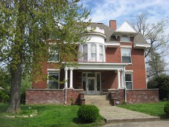
Every property in this county listed on the National Register of Historic Places, with the year it was listed and the federal nomination document.
Sampled issues, machine-read from the Library of Congress scan and published page by page, so every headline and column is searchable text.
Earlington, Ky., 1889 to 19??. Machine-read from the Library of Congress scan.
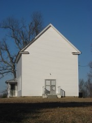
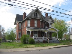
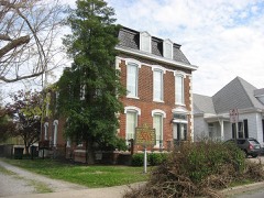
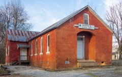
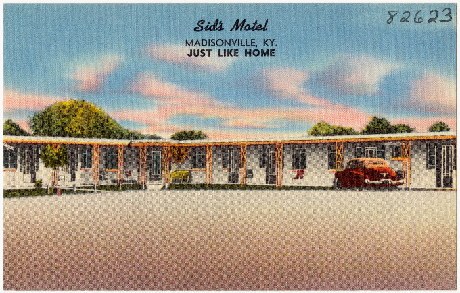
Selected from the Digital Public Library of America's 5 image records catalogued for this county. Every one shown here carries a public-domain status or a licence that permits reuse on a site that carries advertising; non-commercial, share-alike and restricted images are excluded. The selection is spread across the county's towns (at most eight per town), so no single institution's bulk upload crowds out the rest. Each opens the holding library's record, and the complete set at the Digital Public Library of America is one click away.




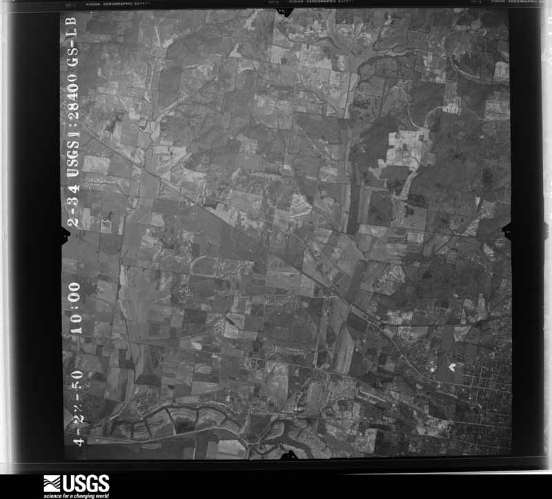
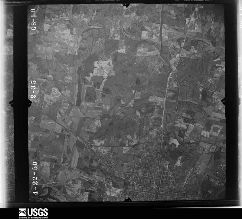
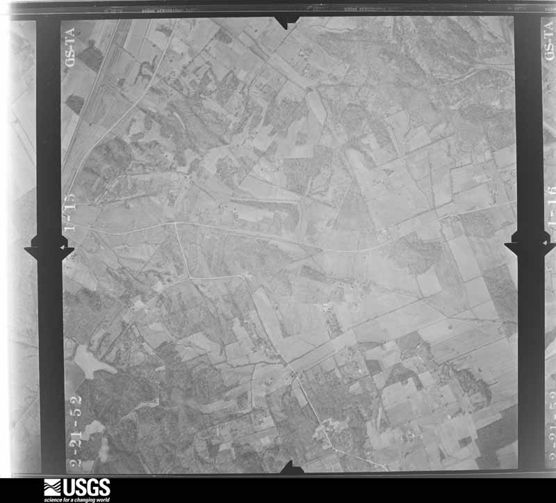
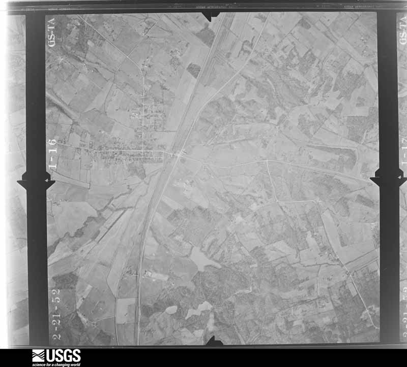
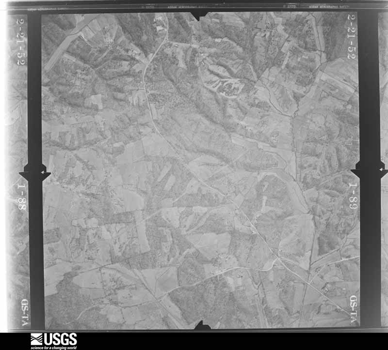
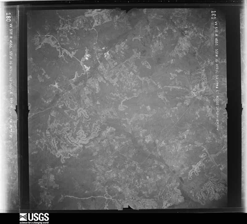
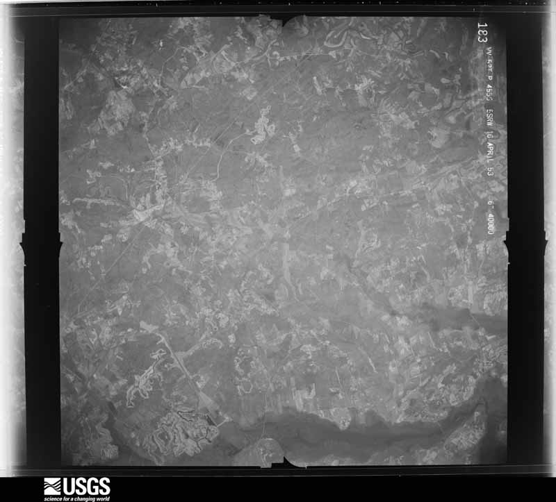
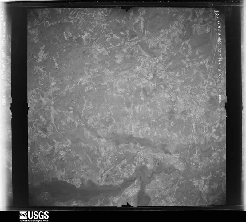
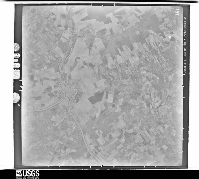
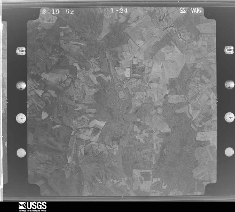
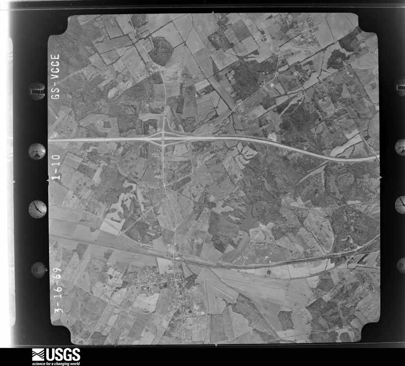
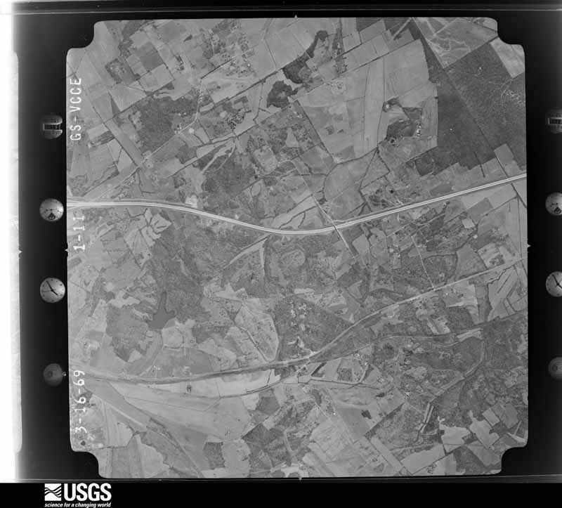
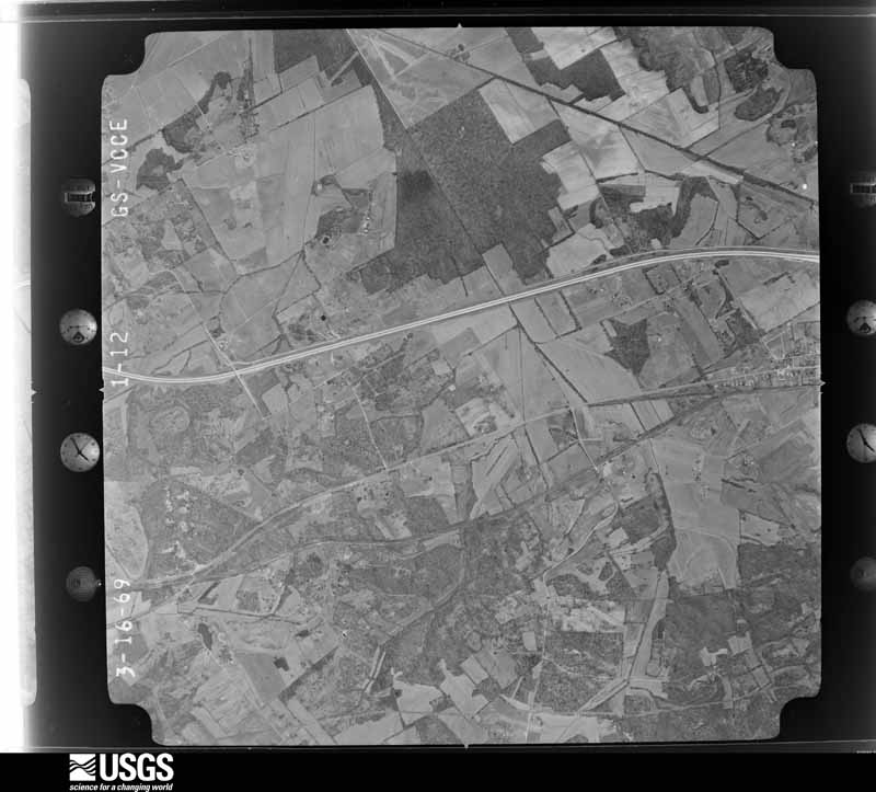
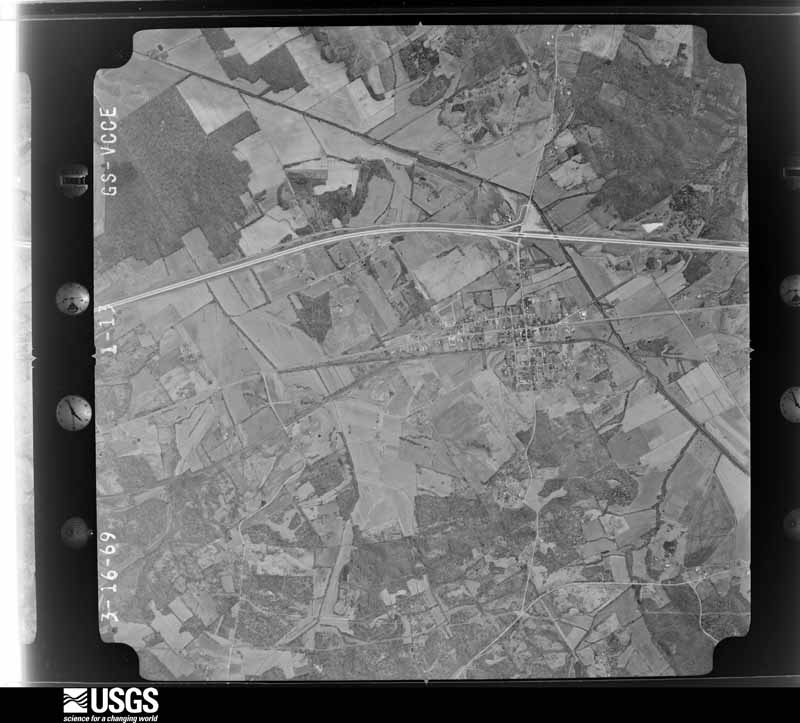
Flown by the U.S. Geological Survey between 1937 and 1989, the Aerial Photo Single Frames collection is the definitive mid-century view of the land: fields, roads and rivers as the camera saw them. The Survey holds 1,149 frames inside the rectangle that bounds this county; the 34 frames below were taken over the county itself, chosen across the decades of flights (at most four a year from that rectangle), so one flight cannot crowd out the rest. The full set is free to browse and download at EarthExplorer under the dataset Aerial Photo Single Frames.
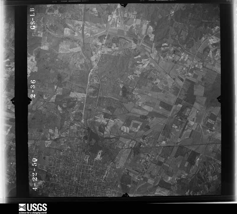
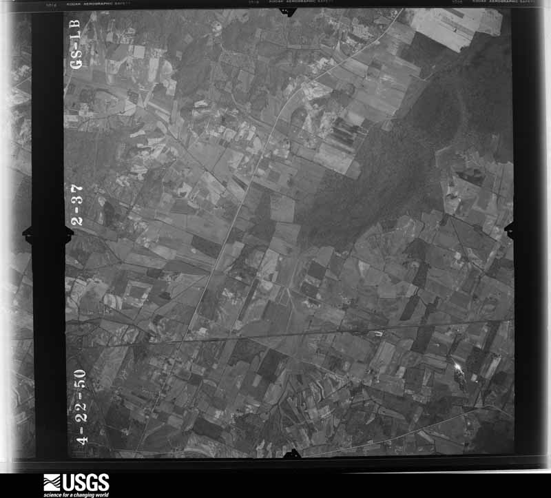



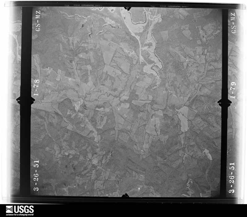
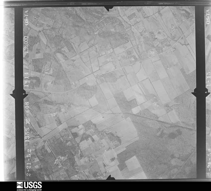





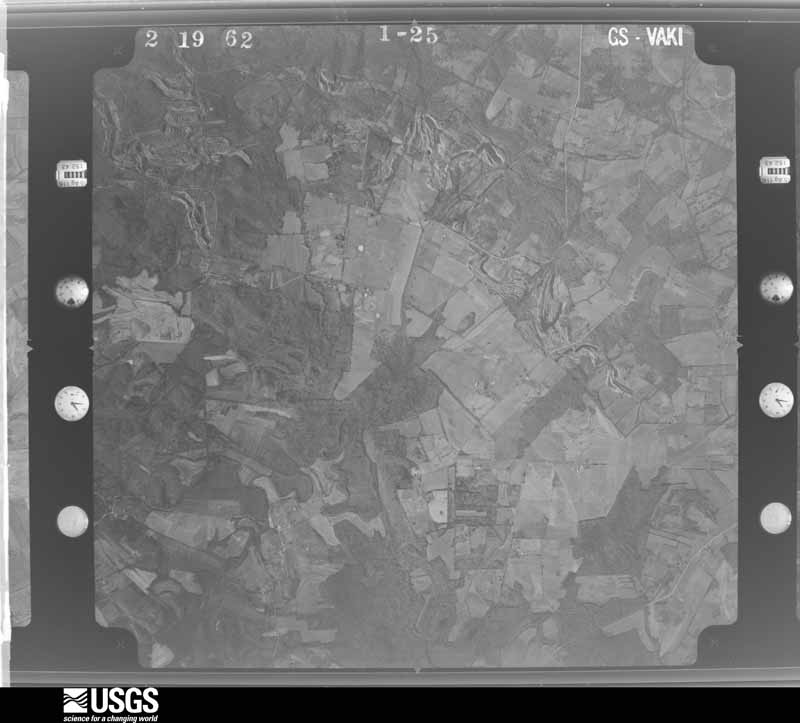
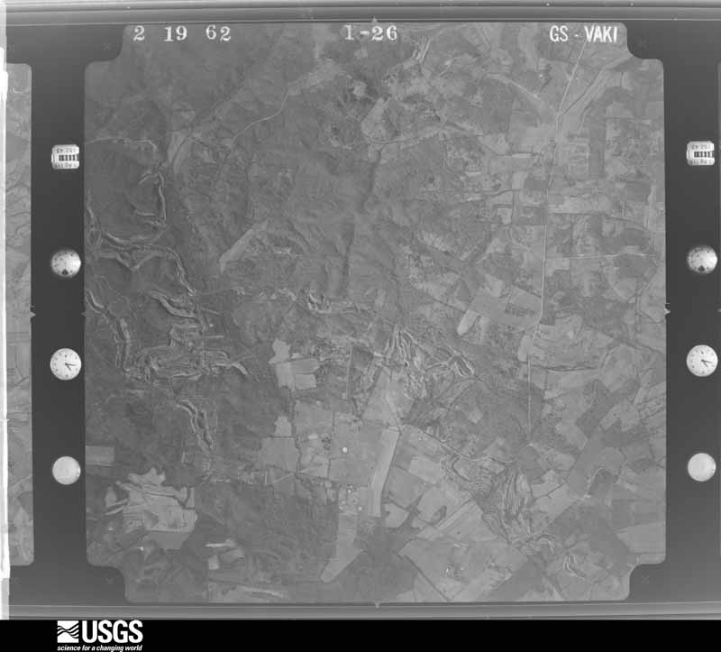
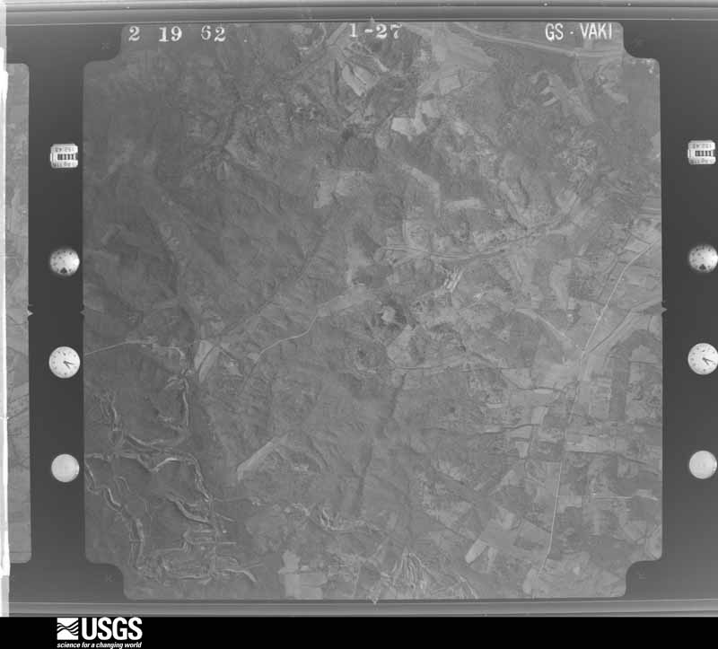
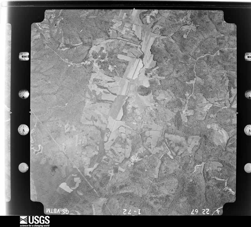
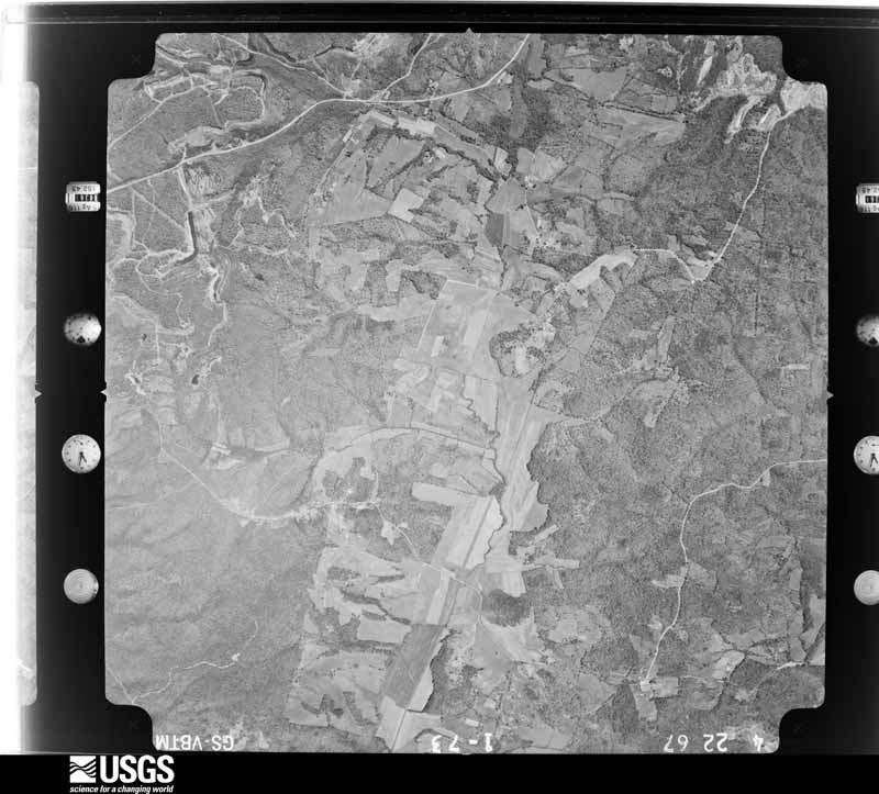
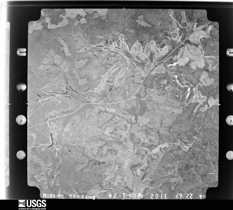
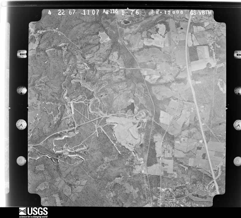
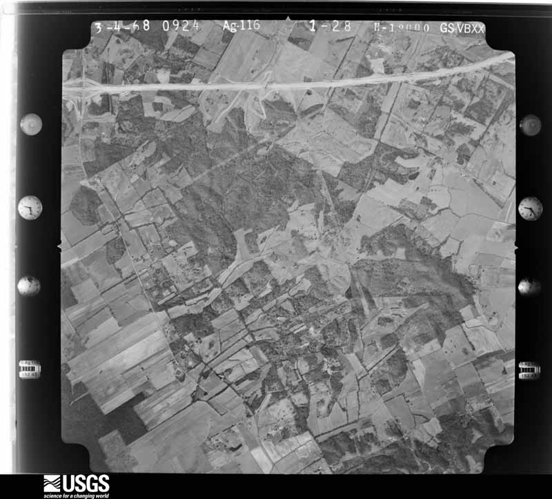
The thermometers that kept this county's weather, and the gages that measured the flow of its streams, as the federal records hold them. The extremes below are measured values from those records, not estimates.
Who lived here in 1950, one enumeration district at a time, as the Census Bureau described each district. Each row opens its official National Archives result, with Population Schedules and ED Maps available there.
Every wildfire the federal occurrence database records inside this county: 175 of them, burning about 3,658 acres. 3 started naturally and 24 were recorded as arson. Each settlement page carries the fires within five miles of it.
| Reported cause | Fires |
|---|---|
| Missing data/not specified/undetermined | 50 |
| Debris and open burning | 43 |
| Recreation and ceremony | 38 |
| Arson/incendiarism | 24 |
| Railroad operations and maintenance | 10 |
| Equipment and vehicle use | 5 |
| Natural | 3 |
| Smoking | 2 |
The five largest, by the area the report gives. None of them was recorded as arson.
| Date | Cause | Size | Reported by | Name on the report |
|---|---|---|---|---|
| 6 November 2005 | Missing data/not specified/undetermined | 517 acres | Kentucky Division of Forestry | STONES CHAPEL |
| 14 September 2008 | Missing data/not specified/undetermined | 300 acres | Kentucky Division of Forestry | IKE |
| 11 March 2007 | Recreation and ceremony | 225 acres | Kentucky Division of Forestry | not named |
| 24 February 2017 | Missing data/not specified/undetermined | 200 acres | Kentucky Division of Forestry | CHAROLOIS |
| 15 October 2007 | Recreation and ceremony | 190 acres | Kentucky Division of Forestry | BEULAH |
| 28 February 2004 | Missing data/not specified/undetermined | 170 acres | Kentucky Division of Forestry | not named |
| 8 November 2011 | Debris and open burning | 170 acres | Kentucky Division of Forestry | WELCOME BACK |
| 7 March 2000 | Railroad operations and maintenance | 150 acres | Kentucky Division of Forestry | not named |
Every settlement page carries the fires within five miles of it - see the settlement index below.
The NOAA Storm Events Database holds 359 reports for this county, causing 17 deaths, 267 injuries and about $43,479,500 in recorded property damage. Each settlement page carries the reports that name it.
| Kind of event | Reports |
|---|---|
| Thunderstorm Wind | 139 |
| Hail | 86 |
| Flash Flood | 34 |
| Flood | 33 |
| Funnel Cloud | 24 |
| Tornado | 20 |
| Heavy Rain | 19 |
| Lightning | 4 |
The most serious of them, by death, then injury, then recorded damage. The accounts are quoted exactly as the forecast office filed them.
| When | Event | Place named | Harm | What the report says |
|---|---|---|---|---|
| December 2021 | Tornado (EF4) | Dawson Spgs | 15 killed, 200 hurt | This historic EF-4 tornado was associated with a very long-track supercell that originally formed over eastern Arkansas. The supercell produced a nearly continuous tornado damage path from northeast Arkansas across western Tennessee and western Kentucky. The starting point of this particular tornado was in northwest Tennessee, northwest of Union City (see Storm Data, Tennessee, Western for information on this and other tornadoes associated with the supercell). This tornado crossed from Caldwell County into Hopkins County near the city limit of Dawson Springs, which straddles the county line. The tornado produced catastrophic damage and some fatalities in Dawson Springs. About two-thirds of the city's homes were destroyed, and about a dozen fatalities occurred. There were at least 200 injuries. The core of the tornado narrowly missed the downtown Dawson Springs business district, but a large residential neighborhood on the north side of downtown was destroyed. This neighborhood is where the tornado obtained its maximum EF-4 rating in Hopkins County. A two-story apartment building was almost totally destroyed. Only a few first-story interior walls remained standing (DI 5, DOD 6). This apartment building is where the damage was assigned a wind speed estimate of 180 mph, the highest in the county. On the northern edge of town, over a dozen duplexes suffered complete roof loss. All exterior and interior walls of one of the units collapsed (DI 2, DOD 9). Most of the single-family homes suffered complete roof loss and the loss of most exterior walls (DI 2, DOD 8). In a few cases, there was complete destruction of residences (DI 2, DOD 10). On Highway 109 on the northeast side of town, a large retail structure with a long-span roof was destroyed (DI 12, DOD 7). Nearby, about a half dozen other smaller homes and businesses were demolished, including the loss of all walls (DI 9, DOD 9). Once the tornado exited the Dawson Springs area, it crossed Interstate 69 (formerly the Western Kentucky Parkway) about three miles northeast of Dawson Springs. A clearly defined wide path of nearly total tree destruction crossed the interstate. A house near the interstate suffered the loss of the roof and most walls, except for a few walls of small interior rooms (DI 2, DOD 8). Where the tornado crossed Highway 112, a few single-family homes were demolished, including the loss of the roof and all or most walls (DI 2, DOD 8-9). The tornado continued across heavily forested land until reaching Barnsley, a small community between Earlington and Mortons Gap on U.S. Highway 41. Several houses were demolished, including the loss of all walls (DI 2, DOD 9). In addition, a train was derailed and a 55-foot tanker car was thrown 20 yards from the railroad tracks (DI 29, DOD 1). The tornado then continued through a long swath of forest before crossing Interstate 69 midway between Madisonville and the Western Kentucky Parkway. Hundreds of trees were snapped at this interstate crossing (DI 27, DOD 4). A number of vehicles were thrown and destroyed across the county. The total number of affected structures countywide was estimated near 1000. A little over 500 structures were completely destroyed. Nearly total tree destruction was observed all along the path. The average path width was a mile. The tornado exited Hopkins County across the Pond River into Muhlenberg County about 6.5 miles east-southeast of Madisonville. |
| May 2024 | Tornado (EF3) | Olney | 1 killed, 17 hurt, $2,700,000 | An EF-3 tornado, which began northeast of Eddyville in Lyon County, crossed through the entirety of Caldwell County, then entered Hopkins County east of White School Rd. The tornado intensified and widened to its peak width of 700 yds destroying several mobile homes and wood and brick frame structures as it approached and moved just south of the Charleston community in western Hopkins County. It continued eastward just north of I-69 destroying more mobile homes and at least one more permanent residence. Two mobile homes were destroyed just north of Morton's Gap with a vehicle also flipped before the path abruptly ended just west of I-69. Widespread significant tree damage was noted along the path. A few dozen buildings were either destroyed or sustained major damage along the path with another few dozen structures sustaining damage. In Hopkins County, 17 people were injured, with 1 person (48f, direct) north of Dawson Springs dying as a result of the tornado. Peak winds with this tornado were estimated at 160 mph. |
| July 2022 | Lightning | Madisonville | 1 killed | A 38-year-old man who was flying a remote-controlled plane was struck by lightning. He was airlifted to an out-of-state hospital, where he died several days later. |
| November 2005 | Tornado (F4) | Earlington | 40 hurt, $31,000,000 | This violent tornado reached its peak intensity on the north side of Earlington, near the beginning of its track. Peak winds there were estimated near 220 MPH. Several houses in this area, on either side of U.S. Highway 41, were levelled. Large oak trees were reduced to nubs, and the ground was scoured to bare dirt. A steel beam was carried some distance and became wedged against trees and other debris. 24 people were treated for injuries at a local hospital, and three of the injuries were critical. About 151 homes and buildings were destroyed, 67 suffered major damage, and 303 received minor damage. Damage indications, as well as eyewitness accounts, indicate the occurrence of multiple vortices near Earlington. The tornado continued northeast and weakened, crossing the Pennyrile Parkway at mile marker 41. The tornado lifted less than a mile from the Mclean County border. The average path width was 525 yards. The tornado was close to a half mile wide in places. |
| May 1961 | Tornado (F3) | not stated | 3 hurt, $2,500,000 | no account filed |
| February 2009 | Thunderstorm Wind | Anton | 2 hurt, $80,000 | A mobile home was overturned and demolished. The occupants of the mobile home were slightly injured, receiving only scratches and bruises. The mobile home was not tied down. The outer wall of a nearby cinder block garage was pushed in. Shingles were torn off a neighbor's house, causing water to leak in. |
| November 2013 | Tornado (EF3) | Romney | 1 hurt, $700,000 | The tornado touched down a couple of miles southwest of Nortonville, then proceeded east across the Pennyrile Parkway. Four homes were destroyed, including one double wide mobile home. The mobile home was blown about 75 yards before coming to rest against trees. The exterior walls of a permanent home collapsed. A dozen homes received minor to moderate damage. Several sheds and barns were destroyed. Hundreds of trees, some of which were very large, were snapped and uprooted. There was one minor injury. Peak winds were estimated near 140 mph. The most intense damage occurred about two miles south-southeast of Nortonville. This tornado was spawned by a supercell that originated over southeast Missouri and produced a 42-mile long EF-3 tornado from the Paducah area to Lyon County, Kentucky. |
| October 2007 | Tornado (EF2) | St Charles | 1 hurt, $150,000 | Numerous trees were snapped and uprooted as the tornado touched down. Three mobile homes were destroyed, including one with a bent frame. Debris from mobile homes was thrown several hundred yards. A resident of one of the mobile homes received a minor head injury when a tree fell into his residence. Another resident was briefly pinned under debris but was not injured. Rescue crews had difficulty reaching the scene due to trees across roads. Barns and one house were damaged. The damaged house suffered major roof damage, a destroyed porch, and siding damage. Numerous trees fell across roads and power lines. Peak winds were estimated near 120 mph. |
| February 2008 | Thunderstorm Wind | White Plains | 1 hurt, $130,000 | Approximately one dozen homes sustained roof damage, including some with partial roof removal. At least two mobile homes were moved off their foundations. Dozens of trees were uprooted. The damage path width averaged less than 1/4 mile. One minor injury occurred. |
| April 1956 | Tornado (F1) | not stated | 1 hurt, $2,500 | no account filed |
| June 2009 | Lightning | Madisonville | 1 hurt | A UPS truck driver was struck by lightning as he stepped down from his truck while making a delivery. He was treated and released from the local emergency room. |
| April 2002 | Tornado (F3) | Nebo | $1,800,000 | The tornado crossed into Hopkins County just west-northwest of Nebo, and finally lifted after moving through Hanson. The tornado was rated at F-3 intensity in the Nebo area, where four chicken houses were blown off their foundations. About 45,000 chickens were left in the debris. Damage to one chicken facility was estimated between one and two million dollars. The tornado weakened as it progressed across the county. About 10 to 15 residences were significantly damaged. |
| June 2013 | Flash Flood | Carbondale | $500,000 | The Madisonville city fire department evacuated or rescued numerous drivers from flooded vehicles at a mall parking lot. Police officers in boats checked businesses and vehicles in the mall area, which is on the east side of the city along Interstate 69. Water was over the hood of at least one vehicle. At least five homes were flooded in a residential area along a flooded ditch on the southeast side of town. Police officers went door-to-door contacting and evacuating affected residents, and a water rescue was in progress. Boats were requested to get to stranded motorists. The strong currents carried a car to deeper water. Highway 70 was flooded and closed from downtown Madisonville to the mall entrance on the east side of town. Cars were stranded on Highway 70. Four to six inches of running water covered Highway 70 on the southwest side of Madisonville. The road was not passable. In Mortons Gap, six inches of water was over one lane of U.S. Highway 41. Water approached houses on Highway 813 in Mortons Gap. The Interstate 69 on-and-off ramps at exit 37 were flooded near Mortons Gap. In Madisonville, a section of U.S. Highway 41 was closed. Areas between Kentucky Highways 254 and 281 were flooded on the east side of Madisonville, including a subdivision. Boats were dispatched to get stranded people out of vehicles and houses. A water rescue was conducted in a mobile home park. The Kentucky mesonet site four miles south of Madisonville measured 5.92 inches of rain. |
| May 2011 | Flood | Anton | $500,000 | no account filed |
| January 2000 | Flash Flood | Countywide | $400,000 | no account filed |
| May 2004 | Tornado (F2) | Barnsley | $300,000 | This tornado touched down about 5 miles south of Madisonville and moved almost due east, crossing the Pennyrile Parkway at exit 37. The tornado ended just after crossing into Muhlenberg County in a forested area. Several homes were damaged, including one that was severely damaged. Several barns and outbuildings were destroyed. Several roofs were blown off businesses. A truck stop near the Pennyrile Parkway received minor damage. The tornado moved across the sports complex at Hopkins County Central High School, causing heavy damage to the baseball area. Some trees landed on roads and cars. Peak winds were estimated near 140 MPH by the damage survey team. The tornado was videotaped at fairly close range as it passed near Hopkins Central High School. |
| February 2025 | Flood | Nebo | $270,000 | Flash flooding from the evening of the 15th transitioned to areal flooding early on the 16th. Alternate U.S. 41 near the Webster County line and U.S. 62 near Nortonville continued to flood, along with numerous county roads. |
| August 2005 | Flash Flood | Madisonville | $250,000 | Flooding was particularly severe around the Parkway Plaza Mall off of the Pennyrile Parkway. At least six businesses in the mall area sustained flood damage. Several inches of water covered the floor of one business. Local police reported one and a half feet of water flowing down the main street through Madisonville. Local officials reported nearly four inches of rain fell during the day, mostly in the morning. |
| March 1997 | Flash Flood | Madisonville | $250,000 | no account filed |
| April 2008 | Flood | Mortons Gap | $150,000 | Near Mortons Gap, the entrance to the southbound Pennyrile Parkway on-ramp was under two to three feet of water. Highway 813 at Mortons Gap was under an inch of water. Countywide, many roads were covered with water. Roads were closed, especially in the north portion of the county. Highway 109 was closed for a few days. Main Street in Madisonville was partially closed. Flooding caused significant damage to at least three businesses in a mall in Madisonville. Up to six inches of water on the floor of a grocery store damaged inventory. Additional damage to inventory occurred when power was cut to the mall for safety reasons. The mall parking lot was flooded up to a depth of three feet, and a car was submerged over the headlights. |
| July 2004 | Thunderstorm Wind | White Plains | $100,000 | Over 60 trees were blown down, and power lines were snapped. Some of the trees landed on houses and cars. Three vehicles were totalled, and four homes received structural damage due to falling trees. The localized damage was caused by a microburst. |
| September 2011 | Tornado (EF2) | White Plains | $80,000 | This short-lived tornado occurred along Highway 813. One framed home and one mobile home were destroyed. There was minor damage to two framed homes. Four sheds were destroyed. Power lines were blown down. Several large trees were downed or uprooted. The destroyed mobile home was thrown about 30 feet into a tree. The lone resident of the mobile home was ejected, but he sustained no injuries requiring treatment. The destroyed framed home lost most of the roof, and bricks were shifted. Peak winds were estimated near 120 mph. |
| January 2008 | Thunderstorm Wind | Dawson Spgs | $80,000 | A number of trees were down countywide, including some on roadways. One house was heavily damaged when a 100-foot oak tree landed in the living room. The Pennyrile Parkway exit on U.S. Highway 62 near Nortonville was blocked by a fallen tree. A tree damaged the window and side of a house in Nortonville. An apartment building in Dawson Springs received damage. A moving vehicle struck a fallen tree in Dawson Springs. Half of Dawson Springs was without power. A tree toppled onto a moving truck in a rural area, but the driver was not injured. A radiator repair shop sustained roof damage. Power lines were down in Madisonville. |
| October 2007 | Tornado (EF1) | Nortonville | $80,000 | Wooden roofs were removed from two masonry buildings. One tree fell on a house. A gas station canopy was damaged. Power lines were downed due to fallen trees. Tops of trees were torn off, and some trees were uprooted. Peak winds were estimated near 95 mph. |
| June 2014 | Thunderstorm Wind | Madisonville | $75,000 | A broad area of scattered wind damage was observed over a wide swath across central and southern Hopkins County. The damage consisted mostly of downed tree limbs averaging 3 to 6 inches in diameter. There were occasional uprooted trees, generally small in size. Trees were down across U.S. Highway 62 on the north side of Nortonville. Tin roofing was peeled off a few barns and outbuildings. At least ten trees were uprooted in Hopkins County. Peak winds in Hopkins County were estimated near 80 mph. The main area of damage in Hopkins County began along Highway 70 southwest of Madisonville. It extended southeast across the Western Kentucky Parkway between St. Charles and the Pennyrile Parkway. The damage area crossed into Christian County southwest of White Plains, including the Pennyrile Parkway area. |
| June 1999 | Flash Flood | Madisonville | $75,000 | Very heavy rain from thunderstorms caused flash flooding. Streets were closed and voluntary evacuations were conducted. Flooding damaged several businesses in Madisonville. Rainfall measured 5.34 inches at the water plant in Madisonville. |
| May 2010 | Tornado (EF0) | Mt Carmel | $70,000 | Peak winds in this short tornado near White Plains were estimated near 80 mph. A barn was blown down. Part of a mobile home roof was blown off. The mobile home was moved less than five feet. Several small trees and large tree limbs were blown down. This tornado was spawned by the same supercell that produced an EF-2 tornado in northern Christian County earlier. |
| July 2016 | Thunderstorm Wind | Nebo | $60,000 | Multiple trees and power lines were down throughout the county. In Madisonville, where several trees were blown down and telephone poles were leaning, a trained spotter estimated winds gusted around 65 mph. Traffic lights were out at a number of intersections in the city, and signs were blown down. At least a few city streets were blocked by downed trees. A tree crashed onto the roof and front porch of a residence. |
| May 2016 | Hail | Hanson | $50,000 | A swath of large hail occurred in association with a supercell across northeast Hopkins County. A couple miles northeast of Hanson, hailstones up to the size of golf balls produced depressions in freshly plowed farm fields. Cars were dented, and shingles were damaged. The ground was completely covered by hail following the storm. The large hail continued eastward to the Mclean County line. |
| July 2016 | Flash Flood | Hanson | $50,000 | Widespread street flooding occurred in Madisonville. Some roads in the city were impassable, including those in a flood-prone area near the mall adjacent to the Pennyrile Parkway. The fire department was dispatched to the mall area to rescue a woman and child in a vehicle. On the north side of Madisonville, U.S. Highway 41 was impassable, with water up to the hood of a car. Another vehicle was stuck in floodwaters in a railroad tunnel in the city. At least one resident in Madisonville requested assistance evacuating a flooded home. North of Madisonville, Highway 1069 was impassable. A nearby secondary road was blocked off, and motorists were stuck between flooded areas. Very high water was over several roads. Water covered several portions of eastbound U.S. Highway 41A, and water was flowing over the road in some spots. In Mortons Gap, one home was flooded, and at least six inches of water flowed across roads in downtown Mortons Gap. Highway 813 was impassable a half-mile from the Pennyrile Parkway. Near the Madisonville airport, Highway 70 was closed due to high water and stranded motorists. |
| May 2011 | Thunderstorm Wind | Mortons Gap | $50,000 | The roof was blown off a house in Mortons Gap. Around White Plains, trees were blown down on some roads. Utility poles were snapped in Nortonville. |
| May 2011 | Thunderstorm Wind | Madisonville | $50,000 | Numerous trees were blown down. |
| April 2008 | Flash Flood | Madisonville Arpt | $50,000 | Major flash flooding occurred in Madisonville. Seven families were evacuated from homes on one street. Fourteen people were evacuated by boat from a mobile home park. A Red Cross shelter was opened for evacuees. One car was stranded on Main Street in Madisonville, where between one and two feet of water was over portions of the street. A one-mile section of U.S. Highway 41 was closed. The parking lot of Parkway Plaza Mall in Madisonville was underwater. Standing water was over sections of a street near the mall. Ditches along Highway 112 were overflowing near Earlington. Flooding was reported at the Madisonville Country Club. |
| August 2004 | Thunderstorm Wind | Nortonville | $50,000 | Several trees and power lines were blown down along U.S. Highway 62 from Nortonville to White Plains. One huge tree landed on a house, and another landed on three or four cars. A large tree landed across U.S. 62, blocking traffic. |
| May 2024 | Thunderstorm Wind | Hanson | $40,000 | An intense thunderstorm moving through northern Hopkins County downed numerous trees near Otter Lake on Otter Lake Loop, Hummingbird Cove, and Falcon Creek, with one tree falling through a home. |
| February 2012 | Thunderstorm Wind | Pee Vee | $40,000 | A roof was blown off a garage. A metal frame structure was damaged. Two outbuildings were blown onto U.S. Highway 41. Six mature trees were blown down on the south end of Madisonville. |
| May 2024 | Thunderstorm Wind | Nebo | $35,000 | A morning thunderstorm line caused power lines to lean with metal across the road near Nebo. Following the storm line, roughly a third of the county was without power. |
| June 2019 | Thunderstorm Wind | Madisonville | $30,000 | Widespread damaging winds accompanied a line of thunderstorms across the Madisonville area. Several trees were snapped or uprooted in Hanson. Large trees were down in Madisonville. A wind gust to 62 mph was measured at a mesonet site four miles south of Madisonville. |
| March 2012 | Thunderstorm Wind | Madisonville | $30,000 | A home on Jaygeo street in Madisonville had part of its roof blown off. |
| September 2011 | Thunderstorm Wind | Mortons Gap | $30,000 | A trailer was overturned near Mortons Gap. |
| October 2009 | Thunderstorm Wind | Madisonville | $30,000 | At an industrial park within the northeastern city limits of Madisonville, several panels of tin were torn off the roof of a spec building. Insulation was blown away. Some branches and debris were found in the surrounding area. |
| October 2000 | Thunderstorm Wind | Anton | $30,000 | A barn was heavily damaged by thunderstorm winds. The trusses of the 60 by 120-foot barn were damaged, however, the contents of the barn were not damaged. |
| June 1998 | Hail | Nortonville | $30,000 | Gof ball size hail fell near the Christian County border on U.S. 41. Vehicles were dented. |
| May 1995 | Thunderstorm Wind | Madisonville | $30,000 | Several trees were blown down in and near the Madisonville area. One tree fell on a mobile home resulting in substantial damage. |
| May 1996 | Thunderstorm Wind | Madisonville | $30,000 | no account filed |
| March 2012 | Thunderstorm Wind | Madisonville | $25,000 | A few shingles were blown off at least a half dozen homes in Madisonville, along with some large limbs blown down causing power outages. |
| November 1998 | Thunderstorm Wind | White Plains | $25,000 | Thunderstorm wind gusts flipped a tractor-trailer rig onto its side as it travelled along U.S. Highway 62. On Kentucky 813 just north of White Plains, thunderstorm winds lifted from the ground and tore apart a small barn. Numerous trees and power lines were blown down in the White Plains area. |
| April 1971 | Tornado (F1) | not stated | $25,000 | no account filed |
| May 2024 | Thunderstorm Wind | Ilsley | $20,000 | Numerous large trees were downed on the Western Kentucky Parkway/I-69 between Central City and Dawson Springs. |
| June 2016 | Thunderstorm Wind | Vandetta | $20,000 | A microburst with estimated peak winds near 95 mph uprooted a couple dozen trees in a fairly concentrated area. A large tree fell on a house, damaging the gutters and part of the roof overhang. A carport received minor damage. The damage area was about three-quarters of a mile long and one-quarter mile wide. The microburst occurred only about one-half mile east of the Pennyrile Parkway and 1.5 miles from the Webster County line. |
| August 2014 | Thunderstorm Wind | Madisonville | $20,000 | A microburst with estimated peak winds of 75 mph damaged several structures and some trees. Four homes, a business, and a shed received some shingle damage. Large sections of a vinyl fence were blown down. Several large tree limbs were down. The damage area was about 500 yards long and 500 yards wide. The damage occurred along and just west of U.S. Highway 41. |
| May 2011 | Thunderstorm Wind | Dawson Spgs | $20,000 | Several tree limbs and power lines were blown down. A small barn was destroyed. |
| May 2005 | Hail | Dawson Spgs | $20,000 | no account filed |
| April 2010 | Thunderstorm Wind | Madisonville | $15,000 | A few miles west of Madisonville, a porch was heavily damaged. The front wall of the porch separated from the foundation, and the porch windows were blown out. At a nearby business, an aluminum roof was ripped off a storage shed. A trained spotter estimated a wind gust of 70 mph. In the city, a couple of power lines were blown down, causing power outages. |
| January 1999 | Thunderstorm Wind | Hanson | $15,000 | An equipment storage shed was blown apart. |
| May 2024 | Thunderstorm Wind | Barnsley | $10,000 | Following the lifting of the EF-3 tornado near Barnsley, a swath of straight-line downburst winds damaged many trees from Ed Brackett Rd eastward along Pontiac Ln to Free Henry Ford Rd just east of I-69. |
| August 2022 | Thunderstorm Wind | Madisonville | $10,000 | Multiple tree limbs and several trees were down. |
| April 2021 | Flash Flood | Mortons Gap | $10,000 | One foot of water was flowing over Flat Creek Road, making it impassable. There was some flooding of a nearby logging business. |
| April 2016 | Lightning | Hanson | $10,000 | Lightning was the suspected cause of a structure fire. |
| December 2013 | Flash Flood | Madisonville | $10,000 | Highway 254 was impassable due to flooding near Madisonville. In Madisonville, U.S. Highway 41 was closed due to flooding, and a vehicle was stranded in floodwaters at a mall. The driver of the vehicle was safely removed. Four streets in Dawson Springs were closed. A secondary road near Beulah was blocked by flooding. |
The Survey's mineral resources record lists 2 workings inside this county. None of them still produces: all are closed or unrecorded. Each settlement page carries the workings within five miles of it.
| Commodity | Workings |
|---|---|
| Clay | 2 |
The least common of them first, because a county's hundredth gravel pit says nothing its first ten did not.
| Where | Site | Commodity | Status | Recorded |
|---|---|---|---|---|
| Jewel City Clay Mine | Clay | Past Producer | ||
| St. Charles Clay | Clay | Prospect |
Named settlements recorded in the Geographic Names Information System, each with the topographic sheets covering it. Villages, hamlets and abandoned places alike. Each is shown with the nearest named watercourse or landform and the survey quadrangle it falls on. The 3 places that were also surveyed for fire insurance come first, with the number of atlases and photographs held for them.
Dawson Springs census division · 42408 · Near Purdy Hill · Dawson Springs quadrangle
13 sheets, 1909 to 1983
Fire insurance: 3 atlases
Madisonville census division · 42410 · Madisonville West quadrangle
14 sheets, 1907 to 1983
Fire insurance: 3 atlases
Madisonville census division · 42431 · Madisonville East quadrangle
12 sheets, 1909 to 1983
Fire insurance: 9 atlases
Hanson census division · 42456 · On Pond River · Calhoun quadrangle
13 sheets, 1908 to 1991
Madisonville census division · 42431 · Madisonville East quadrangle
12 sheets, 1909 to 1983
Madisonville census division · 42431 · Madisonville West quadrangle
14 sheets, 1907 to 1983
Dawson Springs census division · 42408 · Dawson Springs quadrangle
13 sheets, 1909 to 1983
Hanson census division · 42456 · Beech Grove quadrangle
14 sheets, 1908 to 1991
No longer a settlement
Nortonville census division · 42464 · Nortonville quadrangle
12 sheets, 1912 to 1983
No longer a settlement
St. Charles census division · 42442 · Near Cedar Hill · Saint Charles quadrangle
12 sheets, 1909 to 1983
Nortonville census division · 42464 · On Pleasant Run · Nortonville quadrangle
12 sheets, 1912 to 1983
No longer a settlement
Madisonville census division · 42431 · Madisonville West quadrangle
14 sheets, 1907 to 1983
Madisonville census division · 42431 · Madisonville East quadrangle
12 sheets, 1909 to 1983
No longer a settlement
Madisonville census division · 42431 · Madisonville East quadrangle
12 sheets, 1909 to 1983
No longer a settlement
St. Charles census division · 42442 · On Browns Creek · Saint Charles quadrangle
12 sheets, 1909 to 1983
No longer a settlement
Madisonville census division · 42431 · Madisonville East quadrangle
12 sheets, 1909 to 1983
Dawson Springs census division · 42453 · On Cane Run · Saint Charles quadrangle
12 sheets, 1909 to 1983
Nortonville census division · 42442 · Near Cedar Hill · Nortonville quadrangle
12 sheets, 1912 to 1983
No longer a settlement
Hanson census division · 42456 · On Pond River · Calhoun quadrangle
13 sheets, 1908 to 1991
Nebo census division · 42441 · On Weirs Creek · Coiltown quadrangle
13 sheets, 1907 to 1983
No longer a settlement
Dawson Springs census division · 42408 · Near Happy Hollow · Dalton quadrangle
13 sheets, 1909 to 1983
Madisonville census division · 42431 · Madisonville East quadrangle
12 sheets, 1909 to 1983
No longer a settlement
Nortonville census division · 42442 · Nortonville quadrangle
12 sheets, 1912 to 1983
No longer a settlement
Madisonville census division · 42431 · Madisonville West quadrangle
14 sheets, 1907 to 1983
Dawson Springs census division · 42453 · On Buffalo Creek · Dawson Springs quadrangle
13 sheets, 1909 to 1983
Hanson census division · 42456 · Beech Grove quadrangle
14 sheets, 1908 to 1991
No longer a settlement
Nortonville census division · 42442 · On Pleasant Run · Nortonville quadrangle
12 sheets, 1912 to 1983
Nebo census division · 42436 · Slaughters quadrangle
14 sheets, 1907 to 1983
No longer a settlement
Hanson census division · 42413 · Slaughters quadrangle
14 sheets, 1907 to 1983
No longer a settlement
Dawson Springs census division · 42408 · Near Creekmur Hill · Olney quadrangle
15 sheets, 1908 to 1983
Madisonville census division · 42431 · On Sugar Creek · Madisonville West quadrangle
14 sheets, 1907 to 1983
Nortonville census division · 42442 · On Craborchard Creek · Nortonville quadrangle
12 sheets, 1912 to 1983
No longer a settlement
Madisonville census division · 42431 · On Pogue Creek · Madisonville West quadrangle
14 sheets, 1907 to 1983
No longer a settlement
Dawson Springs census division · 42441 · Near Frazier Ridge · Coiltown quadrangle
13 sheets, 1907 to 1983
Madisonville census division · 42431 · On Richland Creek · Madisonville West quadrangle
14 sheets, 1907 to 1983
Nortonville census division · 42442 · Nortonville quadrangle
12 sheets, 1912 to 1983
No longer a settlement
St. Charles census division · 42453 · On Fox Run · Saint Charles quadrangle
12 sheets, 1909 to 1983
Dawson Springs census division · 42408 · Near Section House Hill · Dawson Springs quadrangle
13 sheets, 1909 to 1983
No longer a settlement
Nortonville census division · 42464 · On Grays Branch · Nortonville quadrangle
12 sheets, 1912 to 1983
No longer a settlement
Dawson Springs census division · 42453 · Near Gobblers Knob · Saint Charles quadrangle
12 sheets, 1909 to 1983
No longer a settlement
Madisonville census division · 42431 · Madisonville West quadrangle
14 sheets, 1907 to 1983
Dawson Springs census division · 42408 · On East Fork Hurricane Creek · Dawson Springs quadrangle
13 sheets, 1909 to 1983
No longer a settlement
Madisonville census division · 42410 · Madisonville West quadrangle
14 sheets, 1907 to 1983
Nebo census division · 42441 · On Yarbro Hill · Slaughters quadrangle
14 sheets, 1907 to 1983
The vanished settlements of Hopkins County: the places named above that are no longer on the map.
12 topographic sheets and 9 fire insurance atlases, 1886 to 1949
13 topographic sheets and 3 fire insurance atlases, 1909 to 1949
14 topographic sheets and 3 fire insurance atlases, 1909 to 1943