 Block
From the record
11 National Register listings published here.
Sources: the National Register database, National Park Service
62 topographic sheets and 9 fire insurance atlases across 3 places.
11 National Register listings published here.
Sources: the National Register database, National Park Service
Every property in this county listed on the National Register of Historic Places, with the year it was listed and the federal nomination document.
| Photograph | Property | Type | Listed | Reference |
|---|---|---|---|---|
| Ceralvo Masonic Hall and School | building | 2015 | 15000655 | |
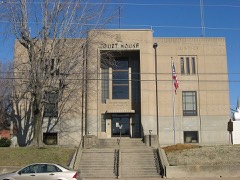 | Downtown Hartford Historic District | district | 1988 | 88002760 |
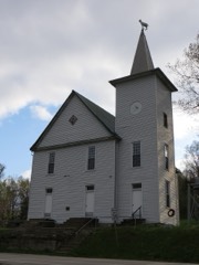 | Dundee Masonic Lodge No. 733 | building | 2008 | 08000213 |
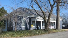 | Hartford Seminary | building | 1973 | 73000826 |
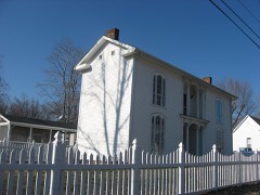 | Samuel E. Hill House | building | 1980 | 80001663 |
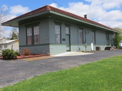 | Louisville, Henderson, and St. Louis Railroad Depot | building | 1991 | 91000923 |
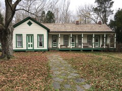 | Bill Monroe Farm | district | 2003 | 03000648 |
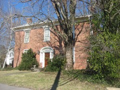 | Old Town Historic District | district | 1988 | 88002535 |
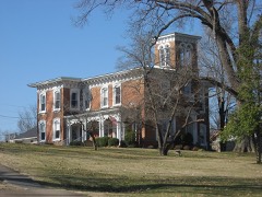 | Pendleton House | building | 1973 | 73000827 |
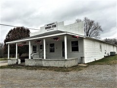 | Rosine General Store and Barn | building | 2003 | 03000708 |
Sampled issues, machine-read from the Library of Congress scan and published page by page, so every headline and column is searchable text.
Hartford, Ky., 1875 to 1926. Machine-read from the Library of Congress scan.
Hartford, Ky., 18?? to 1926. Machine-read from the Library of Congress scan.
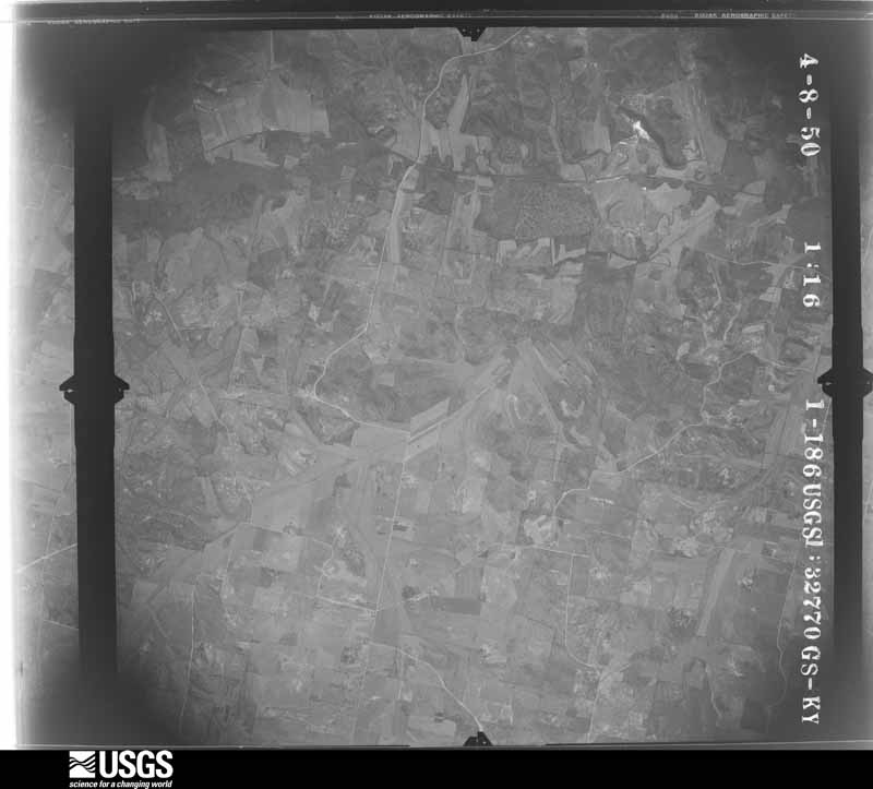
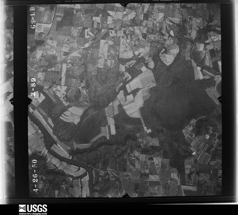
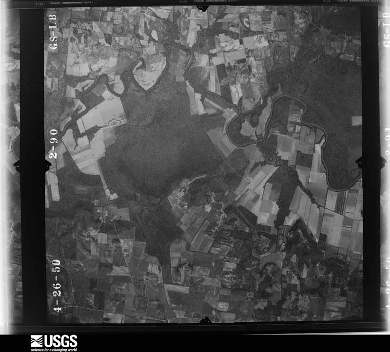
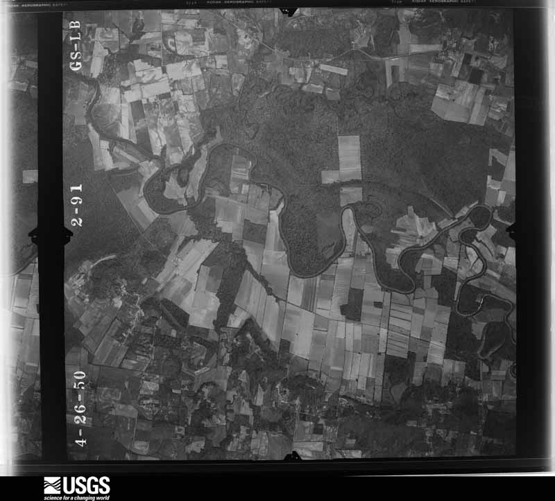
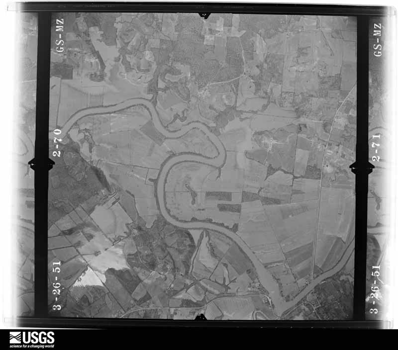
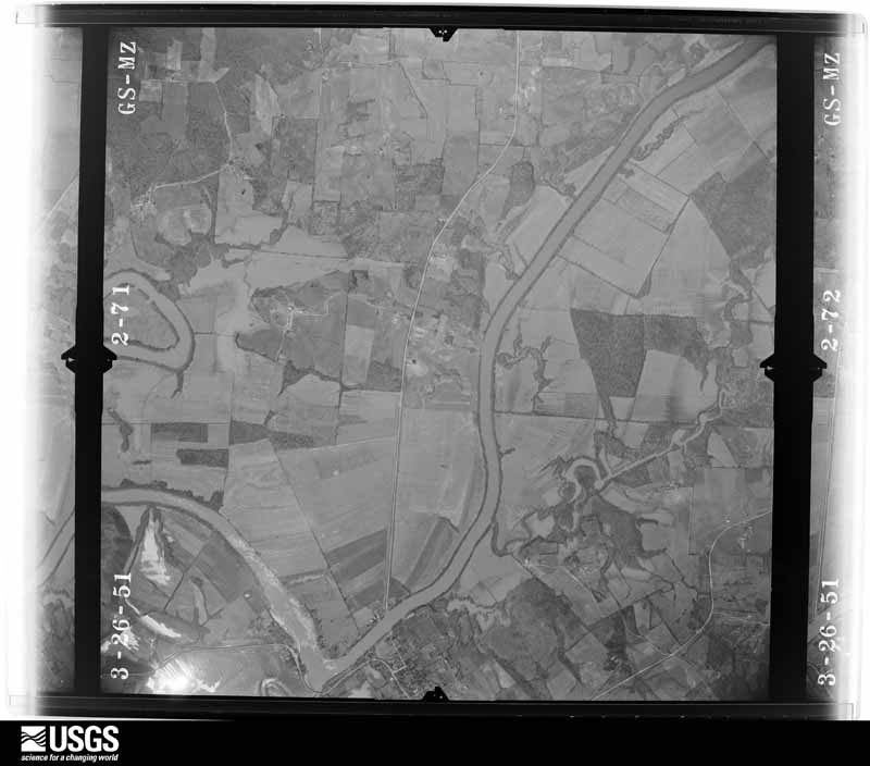
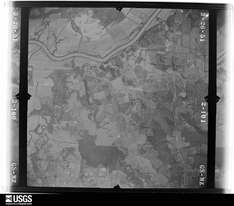
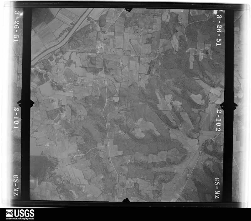
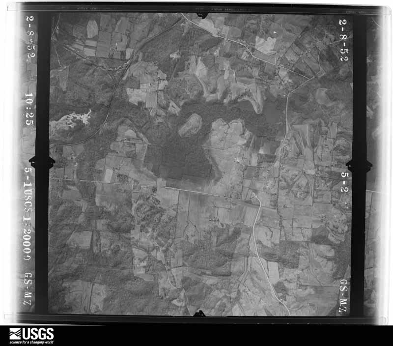
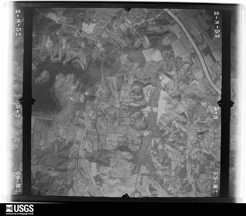
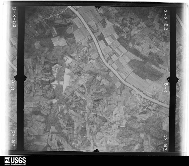
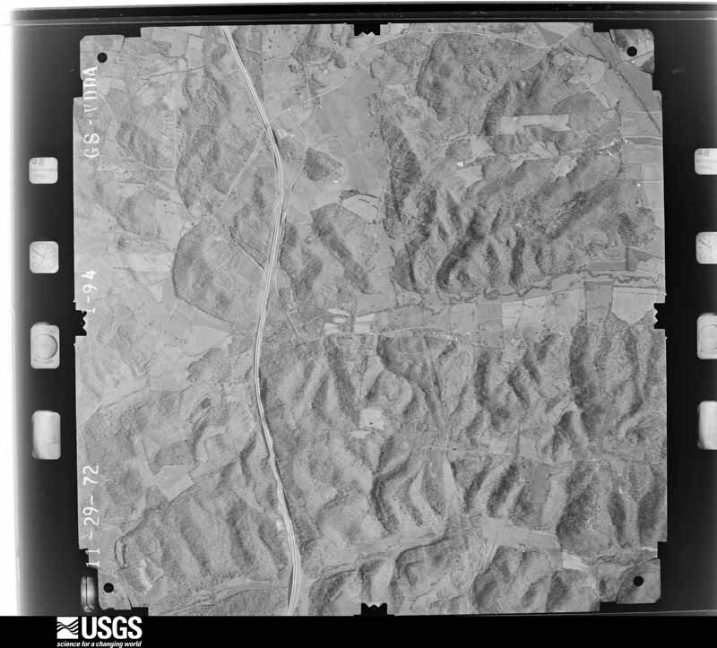
Flown by the U.S. Geological Survey between 1937 and 1989, the Aerial Photo Single Frames collection is the definitive mid-century view of the land: fields, roads and rivers as the camera saw them. The Survey holds 1,245 frames inside the rectangle that bounds this county; the 24 frames below were taken over the county itself, chosen across the decades of flights (at most four a year from that rectangle), so one flight cannot crowd out the rest. The full set is free to browse and download at EarthExplorer under the dataset Aerial Photo Single Frames.
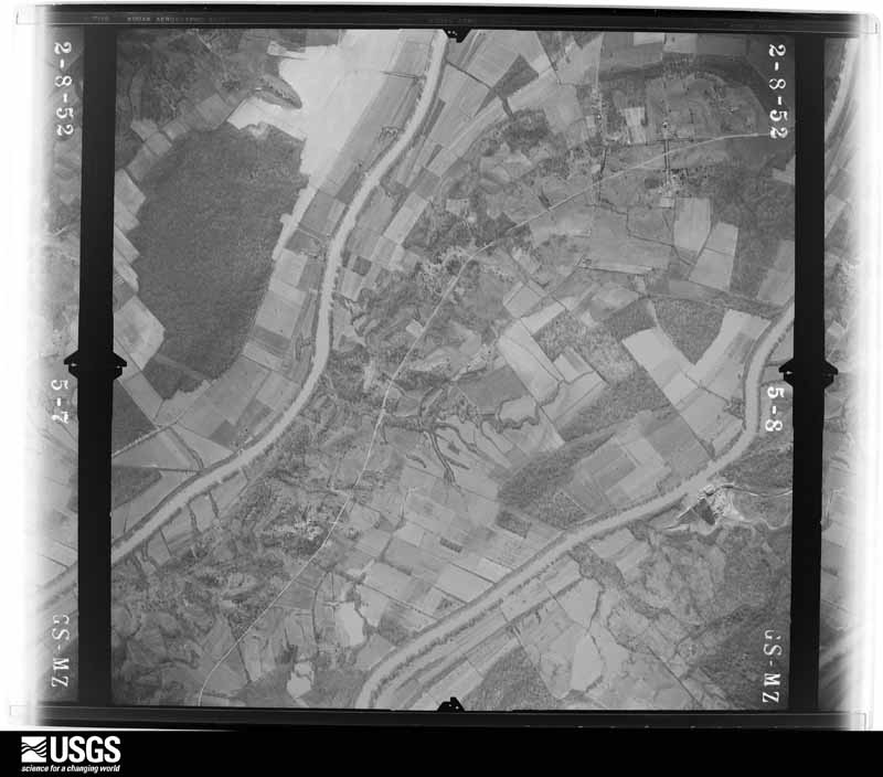
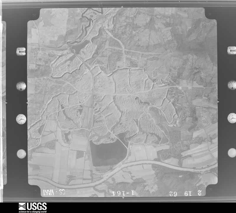
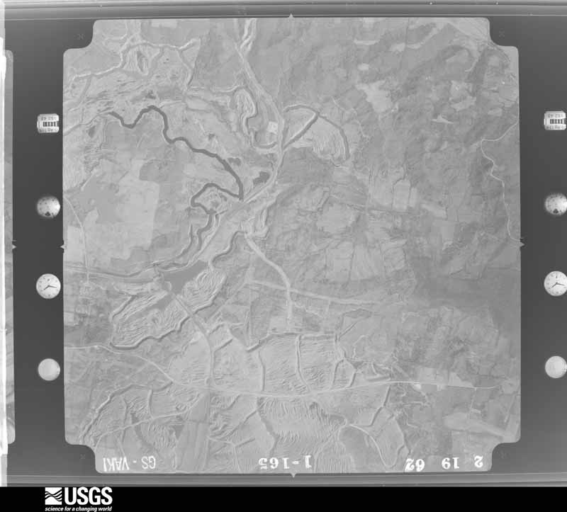
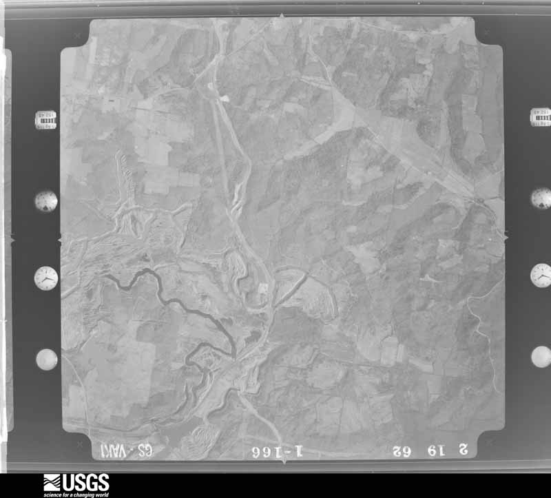
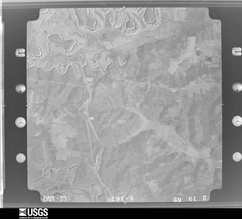
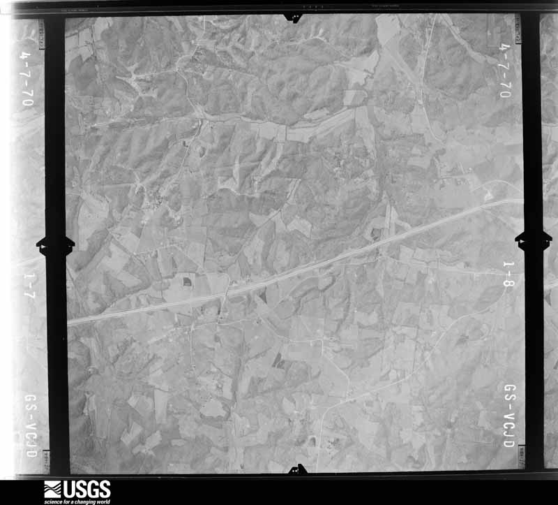
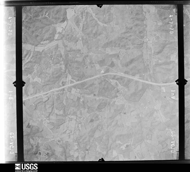
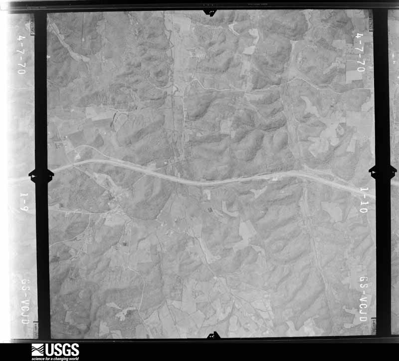
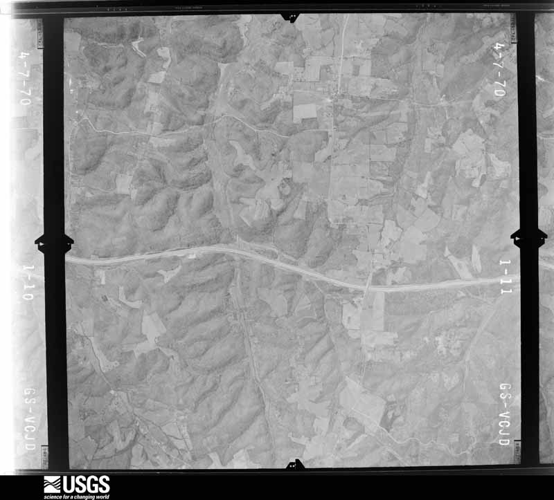
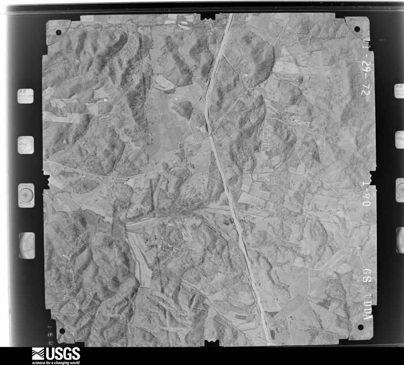
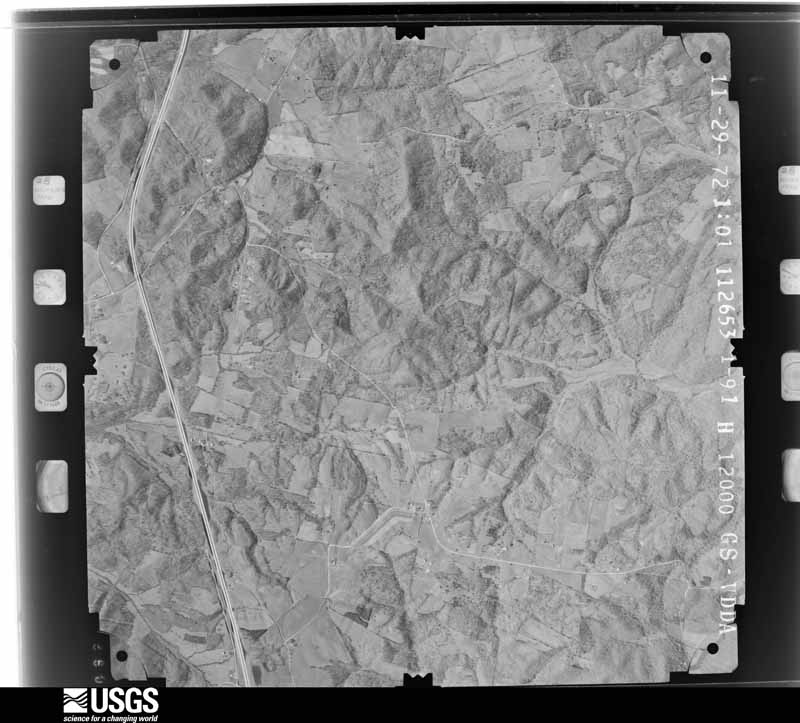
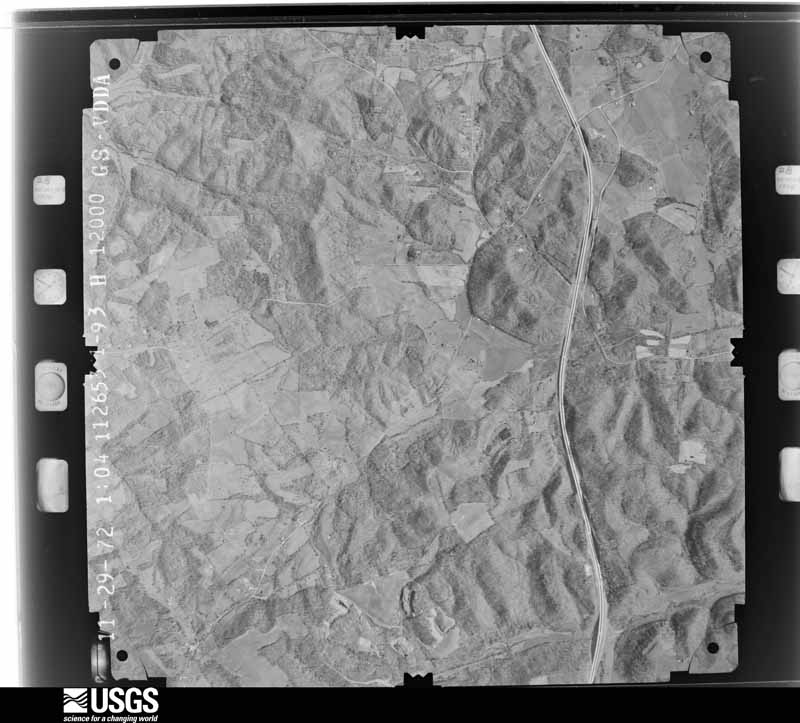
The thermometers that kept this county's weather, and the gages that measured the flow of its streams, as the federal records hold them. The extremes below are measured values from those records, not estimates.
Who lived here in 1950, one enumeration district at a time, as the Census Bureau described each district. Each row opens its official National Archives result, with Population Schedules and ED Maps available there.
Every wildfire the federal occurrence database records inside this county: 207 of them, burning about 7,295 acres. 2 started naturally and 16 were recorded as arson. Each settlement page carries the fires within five miles of it.
| Reported cause | Fires |
|---|---|
| Missing data/not specified/undetermined | 92 |
| Debris and open burning | 47 |
| Recreation and ceremony | 36 |
| Arson/incendiarism | 16 |
| Railroad operations and maintenance | 9 |
| Smoking | 4 |
| Natural | 2 |
| Equipment and vehicle use | 1 |
The five largest, by the area the report gives. One of them was set deliberately.
| Date | Cause | Size | Reported by | Name on the report |
|---|---|---|---|---|
| 2 September 1999 | Arson/incendiarism | 1,400 acres | Kentucky Division of Forestry | not named |
| 28 August 2007 | Debris and open burning | 1,200 acres | Kentucky Division of Forestry | DEAD DEER |
| 12 March 2004 | Missing data/not specified/undetermined | 1,050 acres | Kentucky Division of Forestry | not named |
| 23 August 2007 | Debris and open burning | 450 acres | Kentucky Division of Forestry | 2 LEG FIRE |
| 2 April 2003 | Missing data/not specified/undetermined | 400 acres | Kentucky Division of Forestry | not named |
| 1 April 2003 | Missing data/not specified/undetermined | 300 acres | Kentucky Division of Forestry | not named |
| 15 April 2003 | Missing data/not specified/undetermined | 160 acres | Kentucky Division of Forestry | not named |
| 11 March 2004 | Missing data/not specified/undetermined | 150 acres | Kentucky Division of Forestry | not named |
Every settlement page carries the fires within five miles of it - see the settlement index below.
The NOAA Storm Events Database holds 340 reports for this county, causing 1 death, 2 injuries and about $9,456,500 in recorded property damage. Each settlement page carries the reports that name it.
| Kind of event | Reports |
|---|---|
| Thunderstorm Wind | 171 |
| Hail | 74 |
| Flash Flood | 40 |
| Flood | 38 |
| Tornado | 14 |
| Heavy Rain | 2 |
| Lightning | 1 |
The most serious of them, by death, then injury, then recorded damage. The accounts are quoted exactly as the forecast office filed them.
| When | Event | Place named | Harm | What the report says |
|---|---|---|---|---|
| February 2025 | Flood | Dukehurst | 1 killed, $10,000 | In the early morning hours, a man was driving to work on Parks Ridge Road when he drove into water over the roadway. Rough River which bends near and under Parks Ridge Road was flooded at the time. One of his windows was half way down, and another, in the back on the right side of the vehicle, was all the way down. Investigators believe the man exited the vehicle out the open back window. The car and man were found separately on opposite banks three days later in flood waters. The exact time of the incident is unknown, but reporting made reference to it still being dark at the time. |
| November 2017 | Tornado (EF1) | Taylor Mines | 1 hurt, $250,000 | This small tornado was embedded in a fast moving squall line that raced east at 55 mph. The twister first touched down at a home on U.S. Highway 62 just west of Goshen Church Road, tearing off shingles and uprooting a tree. It moved east-southeast, uprooting and snapping trees near the intersection of Hwy 62 and Goshen Church Rd, along with damaging some small outbuildings. ||It next downed a tree on Mine Fork Road that fell between a home and outbuilding, damaging both structures and causing a |minor head injury to the occupant of the shed. Continuing over open fields, it next hit several residences along Hill, Mulberry, and South Mulberry streets before crossing U.S. Highway 231 and causing minor roof damage to the Post Office. ||The greatest damage occurred in this two block area, where up to a dozen outbuildings were destroyed or heavily damaged, and sections of roofing were lifted off homes and garages. Fences in the neighborhood were blown in a cyclonic pattern, providing evidence of the tight rotation pattern of the storm. After crossing Hwy 231, the tornado damaged several large warehouses, scattering wood and sheet metal debris. Along Bruce School Road, a chain link fence was flattened, and insulation was sucked out of the damaged roof of a two story home, then spattered along the east side of the home and adjacent vehicles.||Another large tree was uprooted in this yard before the tornado lifted. Sheet metal and shingles were lifted into trees along the route of the storm. The NWS thanks Ohio County EMA for assistance in this damage survey. |
| April 2011 | Lightning | Beaver Dam | 1 hurt | Law enforcement reported a person struck by lightning. The extent of injuries is unknown. |
| April 1971 | Tornado (F3) | not stated | $2,500,000 | no account filed |
| May 1961 | Tornado (F3) | not stated | $2,500,000 | no account filed |
| May 1961 | Tornado (F3) | not stated | $2,500,000 | no account filed |
| April 2002 | Tornado (F1) | Centertown | $500,000 | On Shrull Lane west of Centertown, a mobile home and several outbuildings were destroyed. There was intermittent damage across extreme western Ohio County. There was structural damage to 16 homes in Hartford. Roofs were off some homes. Mobile homes were picked up and twisted. |
| June 2018 | Tornado (EF1) | Render | $300,000 | This brief tornado did most of its |damage at treetop level, snapping|the trunks of or uprooting at least |two dozen large, mature oaks and cedars, |and causing limb damage to many others. |In one case, it snapped the 2-foot |diameter trunk of a large cedar less than |5 feet above the ground, but lofted the |tree over nearby utility lines - which |remained intact - and deposited the tree |200 feet to the east. ||The tornado did occasionally reach closer |to the ground, causing significant damage |to two structures. The first was a large |brick ranch home, which had most of the |north half of its roof torn off, and |insulation spread eastward in a narrow |path. One piece of roofing lumber was |found 500 feet ENE of the home. A second |building, a large 2-story brick industrial |building 1/2 mile east - had about 20 |percent of its metal roof peeled off. |Immediately after hitting this building |and downing trees in a nearby cemetery, |it crossed U.S. Hwy 62 and did additional |tree damage for another several hundred |feet as it moved through a wooded area. |The National Weather Service thanks Ohio |County Emergency Management for their |assistance in this survey, including |drone surveillance that helped |identify the path of this storm. |
| May 2016 | Tornado (EF2) | Hartford | $150,000 | A tornado briefly touched down on Spinks Drive just off of Highway 69, initially causing EF-0 damage. The tornado was only on the ground for approximately 200 yards with a path width about 30-40 yards. A basement crawlspace door was blown out along with siding and roof damage at 125 Spinks Dr. There was evidence of isolated straight-line winds with some maple trees on Hamlin Chapel Dr. The tornado touched down for a second time at 41 El Retiro Ln where the path width increased to 50 yards and the winds speed increased to 90-95 mph. Numerous large hardwood trees were snapped and twisted. An outbuilding, previously used to make brooms, next to the house had significant damage when a large tree fell on top of it. The residents observed pea size hail. ||The tornado increased in size at 532 Stoneridge Ln. A custom-built home had exterior wall damage in the master bedroom with adjacent bathroom. Their insulation blew out in all directions in the house and the back porch resembled a snow globe. Numerous trees were down along the property as well as a grain silo. The family survived the tornado by sheltering in a 3-foot crawlspace and when they came out, there was quarter-sized hail on the ground. Winds in this area were 110 mph with a path width about 125 yards.||The tornado continued to move east northeast along the countryside uprooting twisting and damaging numerous hardwood trees. The tornado significantly increased in width to approximately 300 yards and did a lot of damage along Halls Creek Rd. At 1130 Halls Creed Road 2-inch hail occurred before the EF-2 tornado, with winds of 111 mph, did significant damage to the property, which included a 30x50 large barn sliding the wall 12 feet.||Along Walnut Rd, the tornado caused damage to several barns and numerous softwood trees and hardwood trees. Metal sheeting from barns was thrown in excess of 400 yards downwind.||At the intersection of Highway 1164 and 1544 at the Cedar Grove Church there was roof damage to the church and many trees were twisted and uprooted. The last visible damage was along Highway 1544 just east of 1164 with some trees uprooted and twisted. About 30 feet from the tree there was an outbuilding that had half its roof blown off and the roof remnants were found about 50 yards away. The tornado lifted approximately 400 yards from Highway 1544 near the intersection of 1164. |
| April 2008 | Flood | Dundee | $100,000 | The Rough River at Dundee crested at 28.9 feet around 330 AM EST on April 5. Flood stage at Dundee is 25 feet. Moderate flooding occurs at this level, with the post office flooded and sections of Kentucky Highway 69 covered with water. |
| May 2018 | Flash Flood | Equality | $60,000 | Law enforcement reported State Road 69 was flooded near Matanzas Road. Flood waters entered 4 houses on the 1100 block of State Road 69 just south of Matanzas Road. |
| June 2020 | Flash Flood | Beaver Dam | $50,000 | Three cars stalled in high water in Beaver Dam. Several basements in the area were flooded. |
| January 2008 | Thunderstorm Wind | Centertown | $50,000 | Thunderstorm winds downed numerous trees and power lines. A few homes and vehicles were damaged by falling trees. |
| May 2003 | Thunderstorm Wind | Buford | $50,000 | Two trees were blown on to houses. One tree was blown on to a car. Numerous other trees were downed in the area. Signs were bent on Buford Road. |
| August 2019 | Thunderstorm Wind | Beaver Dam | $40,000 | Wind caused a power line at Dairy Queen to fall down on top of a car. Then, the car caught on fire. |
| October 2018 | Thunderstorm Wind | Beaver Dam | $30,000 | The emergency manager reported four trees and multiple power lines down. |
| October 2017 | Thunderstorm Wind | Sunnydale | $30,000 | Law enforcement reported damage to a few houses. |
| February 2008 | Thunderstorm Wind | Hartford | $30,000 | Thunderstorm winds caused severe roof damage to a house. |
| November 2017 | Thunderstorm Wind | Beaver Dam | $25,000 | The Ohio County emergency manager reported trees and power lines down. |
| May 2010 | Flood | Dundee | $25,000 | The Rough River at Dundee crested at 28.7 feet around noon EST on May 3. Flood stage at Dundee is 25 feet. Moderate flooding occurs at this level, with the post office at Barretts Ferry flooded. |
| June 2004 | Thunderstorm Wind | Beaver Dam | $25,000 | no account filed |
| August 1966 | Tornado (F2) | not stated | $25,000 | no account filed |
| June 2019 | Thunderstorm Wind | Hartford | $20,000 | Trees and power lines were down in central Ohio County. |
| October 2017 | Thunderstorm Wind | Hartford | $20,000 | Officials reported 5 power poles fell along north Main Street. |
| October 2007 | Thunderstorm Wind | Hartford | $20,000 | The roof was blown off a building in Hartford. |
| June 1998 | Thunderstorm Wind | Hartford | $20,000 | no account filed |
| June 2015 | Thunderstorm Wind | Heflin | $15,000 | A law enforcement official reported trees down on power lines on Highway 136. |
| February 2025 | Flash Flood | Horton | $10,000 | A car was stranded in flood waters near the intersection of Bethel Church Road and US Route 62. |
| February 2025 | Flash Flood | Jingo | $10,000 | A vehicle was stranded on the 4000 block of Kentucky Route 69. |
| June 2020 | Flash Flood | Beaver Dam | $10,000 | There were several homes with water in them. Two people were evacuated, and the water was up to 2 feed deep. |
| December 2015 | Thunderstorm Wind | Render | $10,000 | Law enforcement reported to the NWS that a tree fell down on a car in McHenry. |
| July 2012 | Thunderstorm Wind | Centertown | $10,000 | The Centerville fire department reported that several limbs and power poles were downed by thunderstorm winds. One house was damaged. Another report detailing several downed trees came from the public. |
| May 2011 | Thunderstorm Wind | Centertown | $10,000 | A tree toppled onto a home, damaging its roof. |
| March 2006 | Thunderstorm Wind | Countywide | $10,000 | There were reports of trees down countywide, along with pea size hail. A concrete building was damaged two miles southeast of Beaver Dam. |
| June 2006 | Thunderstorm Wind | Fordsville | $10,000 | Trees were downed. The roof of a barn was blown off. This occurred north of Fordsville on Highway 1700 near Old Askins Road. |
| May 1995 | Thunderstorm Wind | Hartford | $10,000 | Several trees were blown down in Hartford. |
| April 2016 | Thunderstorm Wind | Beda | $5,000 | The Ohio County department of highways reported trees and power lines down on Silver Branch road north of Hartford. |
| October 2007 | Thunderstorm Wind | Heflin | $5,000 | Thunderstorm winds estimated at nearly 70 mph by law enforcement caused unspecified structural damages. |
| September 1996 | Thunderstorm Wind | Hartford | $5,000 | no account filed |
| July 1995 | Thunderstorm Wind | Countywide | $3,000 | Several trees and power lines were blown down across the county. |
| May 1954 | Tornado (F1) | not stated | $2,500 | no account filed |
| April 1997 | Thunderstorm Wind | Horse Branch | $500 | no account filed |
| April 1993 | Hail | Matanzas | $500 | no account filed |
| April 2026 | Thunderstorm Wind | Hartford | - | There were power lines and trees down along Crab Tree Alley. |
| April 2026 | Thunderstorm Wind | Hartford | - | There were power lines and trees down near Walnut and Clay Streets. |
| April 2026 | Tornado (EF0) | Heflin | - | A tornado briefly touched down and affected all trees in sparsely populated locations of western Ohio County. The tornado touched down just south of Locks Road and did tree damage along a nearly 2 mile track through the Rough River Valley. |
| April 2026 | Tornado (EF1) | Hartford | - | The EF-1 tornado touched down briefly near the Rough River. It intensified as it crossed Highway 69, doing significant tree damage and some minor structural damage to homes along Highway 69. The tornado continued to the southeast where it ripped much of the roof of a home along Mill Run Lane, before lifting just before the Hartford, KY Airport. |
| May 2025 | Hail | Render | - | Quarter sized hail was reported in McHenry. |
| May 2025 | Hail | Beaver Dam | - | Golf ball sized hail was reported in Beaver Dam. |
| February 2025 | Flash Flood | Beaver Dam | - | Numerous instances of street flooding occurred in Beaver Dam. |
| June 2025 | Thunderstorm Wind | Matanzas | - | A large conveyor belt was toppled by strong winds at the DB Wilson power station. |
| April 2025 | Thunderstorm Wind | Beaver Dam | - | There was minor damage to a building in Beaver Dam. A tree and telephone pole were also down. |
| April 2025 | Flash Flood | Hartford | - | Highway 69 was closed between Main Street and Interstate 165 due to high water. |
| July 2025 | Thunderstorm Wind | Beaver Dam | - | Numerous trees were downed in Beaver Dam, including along US Route 62. |
| July 2025 | Thunderstorm Wind | Rockport | - | Trees were downed in Rockport. |
| February 2024 | Thunderstorm Wind | Deanefield | - | There was a large tree down. |
| May 2024 | Hail | Rob Roy | - | Up to quarter sized hail was observed near the Western Kentucky Parkway in Ohio County. |
| May 2024 | Thunderstorm Wind | Ralph | - | A tree was uprooted in a yard along New Cut Road. |
| May 2024 | Thunderstorm Wind | Hartford | - | Trees and power lines were downed across Ohio County, including in and around Hartford. |
| May 2024 | Hail | Pleasant Ridge | - | Quarter sized hail was observed in northwestern Ohio County. |
The Survey's mineral resources record lists 3 workings inside this county. 1 still produces and 2 are closed or unrecorded. Each settlement page carries the workings within five miles of it.
| Commodity | Workings |
|---|---|
| Stone, Crushed/Broken | 2 |
| Clay | 1 |
The least common of them first, because a county's hundredth gravel pit says nothing its first ten did not.
| Where | Site | Commodity | Status | Recorded |
|---|---|---|---|---|
| Trestle Clay | Clay | Prospect | ||
| Fort Hartford Mine | Stone, Crushed/Broken | Past Producer | ||
| Sulphur Springs Quarry | Stone, Crushed/Broken | Producer |
Named settlements recorded in the Geographic Names Information System, each with the topographic sheets covering it. Villages, hamlets and abandoned places alike. Each is shown with the nearest named watercourse or landform and the survey quadrangle it falls on. The 3 places that were also surveyed for fire insurance come first, with the number of atlases and photographs held for them.
Beaver Dam census division · 42320 · Hartford quadrangle
11 sheets, 1909 to 1981
Fire insurance: 4 atlases
Fordsville census division · 42343 · Fordsville quadrangle
11 sheets, 1932 to 1991
Fire insurance: 3 atlases
Hartford census division · 42347 · On North Fork Muddy Creek · Hartford quadrangle
11 sheets, 1909 to 1981
Fire insurance: 2 atlases
Horse Branch census division · 42349 · Near Rattlesnake Knob · Rosine quadrangle
11 sheets, 1925 to 1981
Heflin-Beda census division · 42347 · On Bell Run · Pleasant Ridge quadrangle
13 sheets, 1907 to 1991
Centertown census division · 42369 · On Williams Creek · Central City East quadrangle
15 sheets, 1909 to 1997
Centertown census division · 42328 · On Elk Creek · Equality quadrangle
13 sheets, 1909 to 1983
Hartford census division · 42347 · On Lick Branch · Dundee quadrangle
13 sheets, 1907 to 1991
Beaver Dam census division · 42320 · Near Seminary Hill · Paradise quadrangle
12 sheets, 1909 to 1981
Beaver Dam census division · 42333 · Near Tilford Knob · Cromwell quadrangle
12 sheets, 1909 to 1981
Horse Branch census division · 42349 · Near Rattlesnake Knob · Rosine quadrangle
11 sheets, 1925 to 1981
Hartford census division · 42347 · On Lick Branch · Dundee quadrangle
13 sheets, 1907 to 1991
McHenry-Rockport census division · 42320 · On Render Creek · Paradise quadrangle
12 sheets, 1909 to 1981
Fordsville census division · 42343 · On East Fork Adams Fork · Fordsville quadrangle
11 sheets, 1932 to 1991
Centertown census division · 42328 · On East Fork Williams Creek · Equality quadrangle
13 sheets, 1909 to 1983
Beaver Dam census division · 42349 · On Sixes Creek · Flener quadrangle
12 sheets, 1925 to 1981
Fordsville census division · 42368 · On North Branch South Fork Panther Creek · Whitesville quadrangle
12 sheets, 1907 to 1991
Heflin-Beda census division · 42347 · On Toms Branch · Utica quadrangle
14 sheets, 1906 to 1991
Beaver Dam census division · 42320 · Near Taylor Hill · Cromwell quadrangle
12 sheets, 1909 to 1981
Horse Branch census division · 42349 · On Jenny Branch · Rosine quadrangle
11 sheets, 1925 to 1981
Beaver Dam census division · 42320 · On Elmlick Creek · Horton quadrangle
11 sheets, 1909 to 1981
McHenry-Rockport census division · 42320 · On Render Creek · Paradise quadrangle
12 sheets, 1909 to 1981
Centertown census division · 42328 · On Elk Creek · Equality quadrangle
13 sheets, 1909 to 1983
Fordsville census division · 42347 · On Huff Creek · Olaton quadrangle
12 sheets, 1932 to 1991
McHenry-Rockport census division · 42320 · On Render Creek · Paradise quadrangle
12 sheets, 1909 to 1981
Horse Branch census division · 42361 · On Muddy Creek · Olaton quadrangle
12 sheets, 1932 to 1991
Centertown census division · 42328 · On Elk Creek · Equality quadrangle
13 sheets, 1909 to 1983
Beaver Dam census division · 42320 · Near High View Hill · Cromwell quadrangle
12 sheets, 1909 to 1981
Fordsville census division · 42368 · On Taylor Branch · Dundee quadrangle
13 sheets, 1907 to 1991
Horse Branch census division · 42349 · Near Pea Ridge · Rosine quadrangle
11 sheets, 1925 to 1981
McHenry-Rockport census division · 42369 · By Jackson Bluff · Paradise quadrangle
12 sheets, 1909 to 1981
Horse Branch census division · 42370 · Near Tunnel Hill · Rosine quadrangle
11 sheets, 1925 to 1981
Beaver Dam census division · 42320 · On Pigeon Creek · Horton quadrangle
11 sheets, 1909 to 1981
McHenry-Rockport census division · 42320 · By Jackson Bluff · Paradise quadrangle
12 sheets, 1909 to 1981
Beaver Dam census division · 42320 · On Slaty Creek · Cromwell quadrangle
12 sheets, 1909 to 1981
McHenry-Rockport census division · 42320 · On Southards Creek · Paradise quadrangle
12 sheets, 1909 to 1981
Hartford census division · 42347 · On Sulphur Run · Dundee quadrangle
13 sheets, 1907 to 1991
Heflin-Beda census division · 42347 · On Slovers Creek · Pleasant Ridge quadrangle
13 sheets, 1907 to 1991
Horse Branch census division · 42349 · On Cow Creek · Rosine quadrangle
11 sheets, 1925 to 1981
McHenry-Rockport census division · 42320 · Near Pilot Knob (historic) · Paradise quadrangle
12 sheets, 1909 to 1981
11 topographic sheets and 4 fire insurance atlases, 1910 to 1931
11 topographic sheets and 3 fire insurance atlases, 1915 to 1925
11 topographic sheets and 2 fire insurance atlases, 1925 to 1939