 Block
From the record
16 National Register listings published here.
Sources: the National Register database, National Park Service
150 topographic sheets and 5 fire insurance atlases across 1 place.
16 National Register listings published here.
Sources: the National Register database, National Park Service
Taken for the Office of War Information and the Farm Security Administration, who photographed the country between 1935 and 1944. Works of United States government photographers, with no known restriction on use. Each opens its catalogue record.
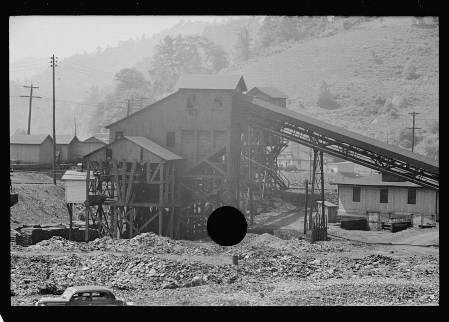
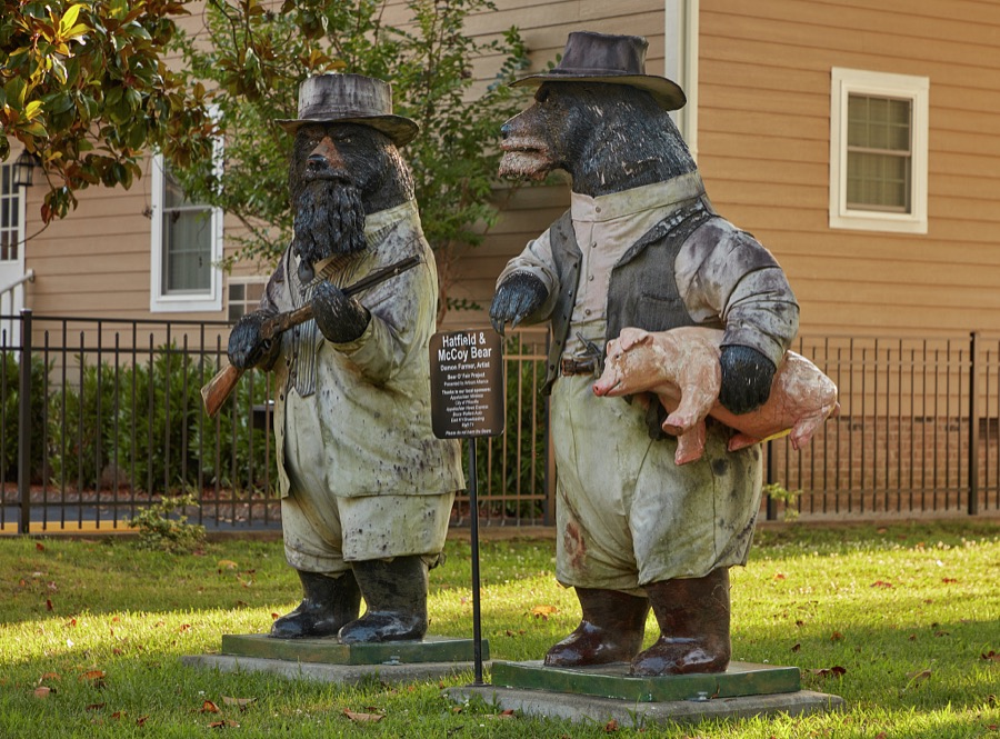
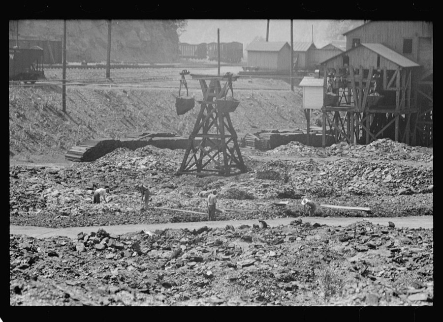

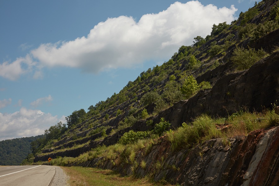
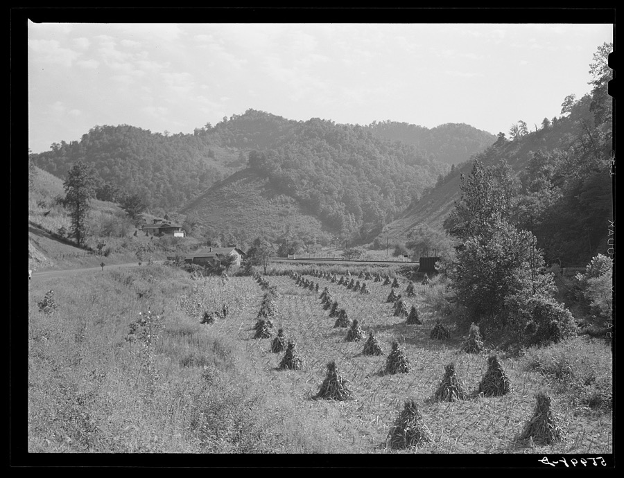
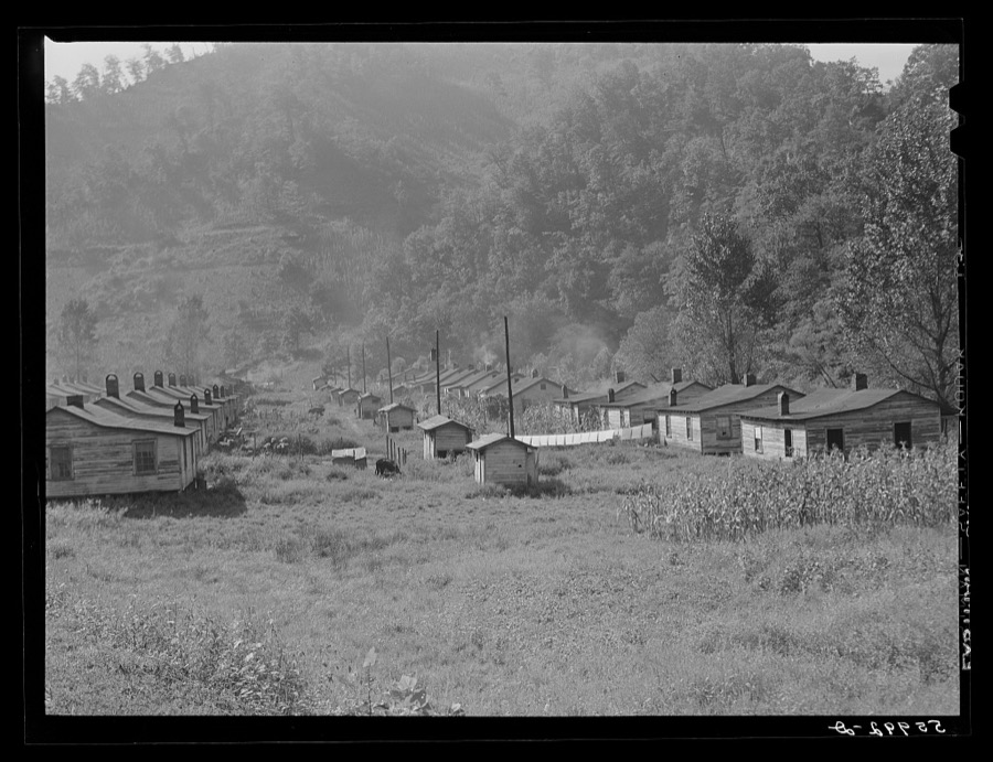

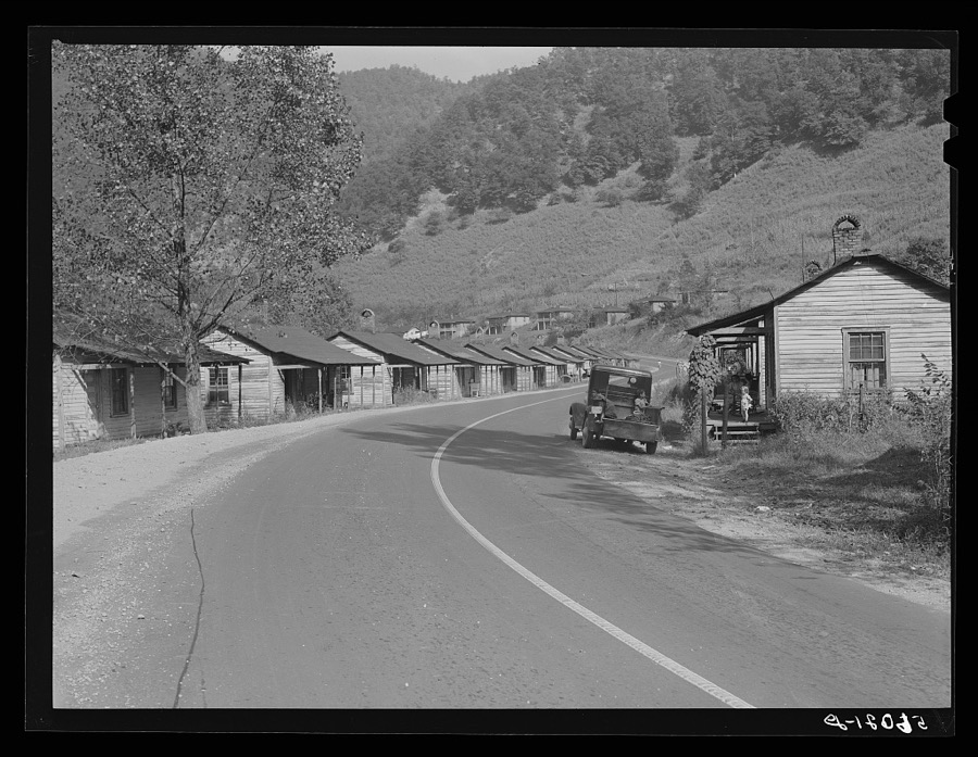
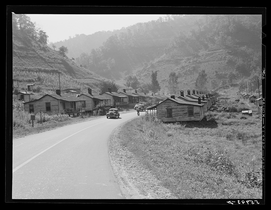
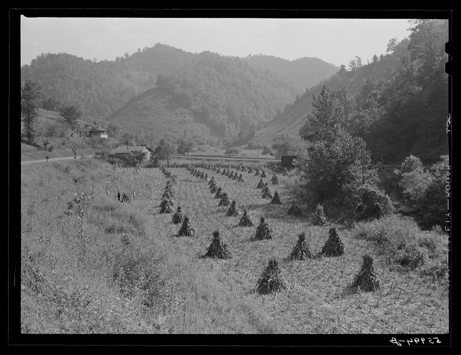
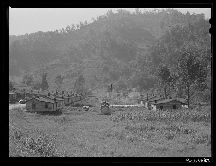
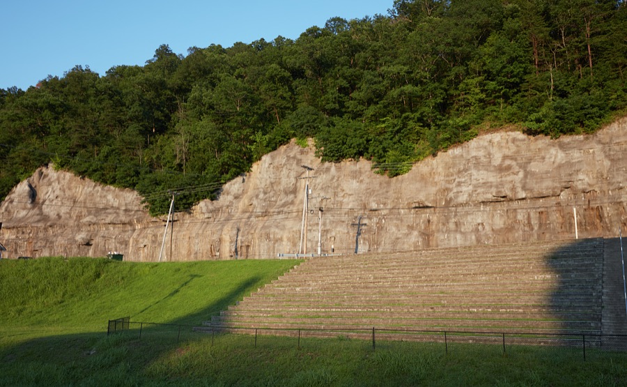
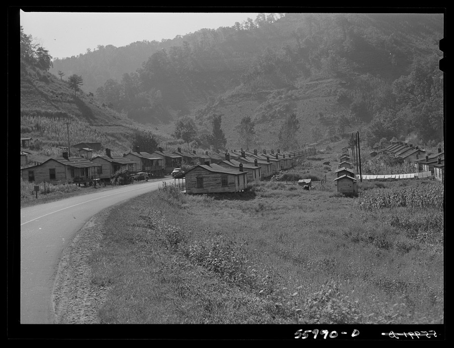
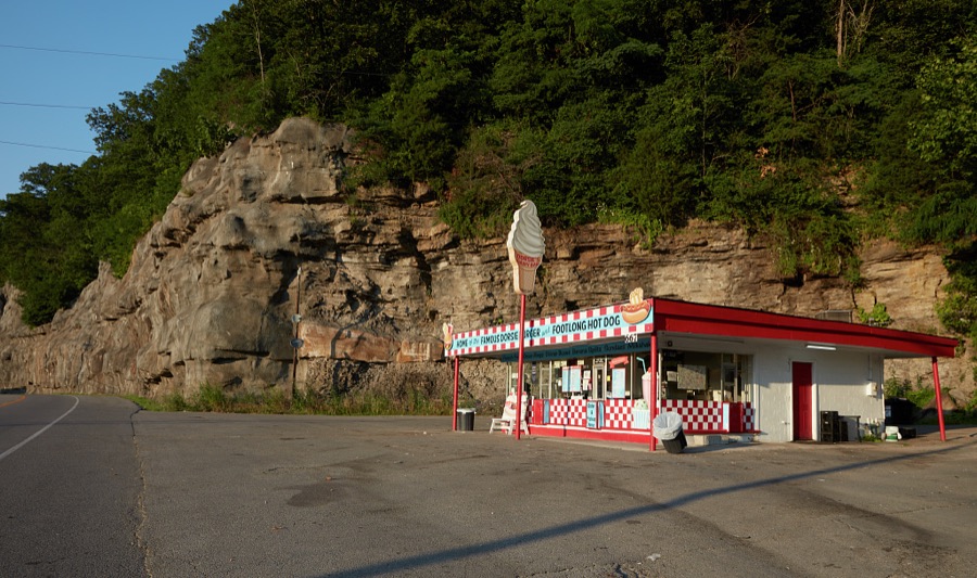
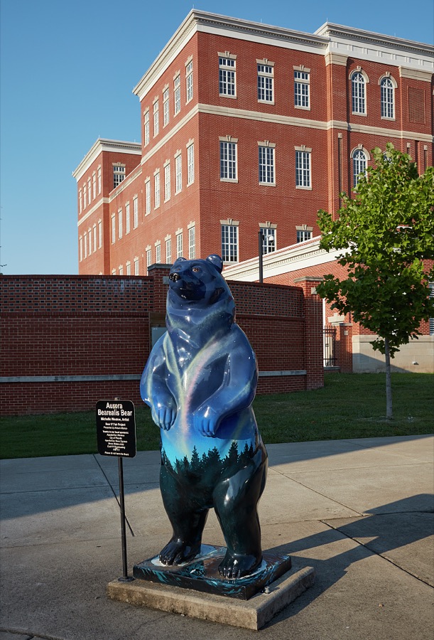
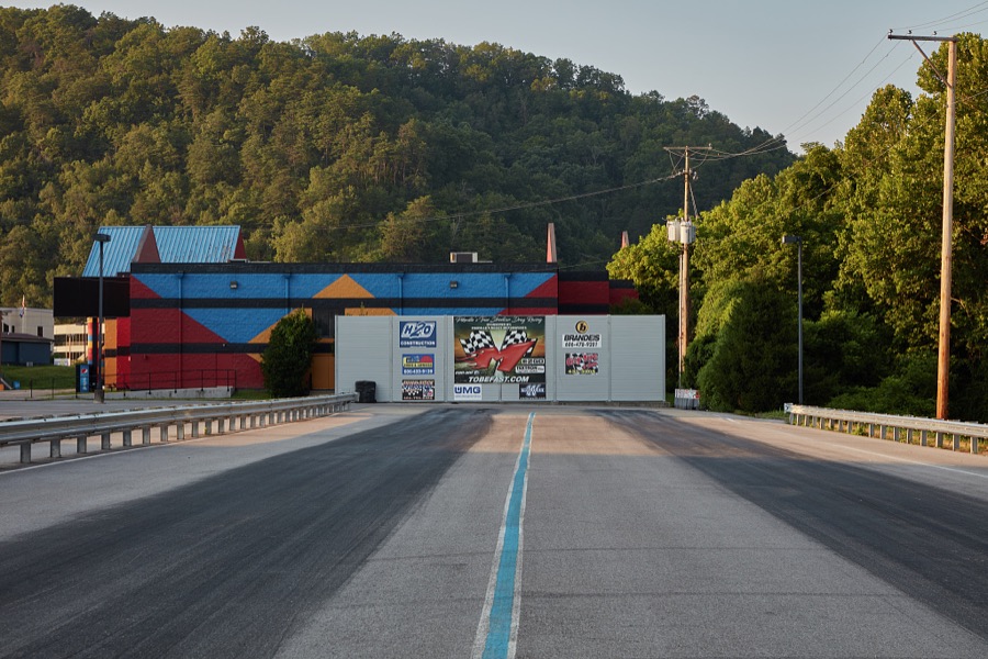
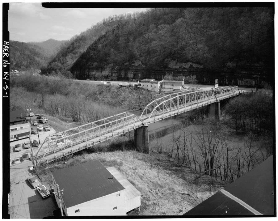
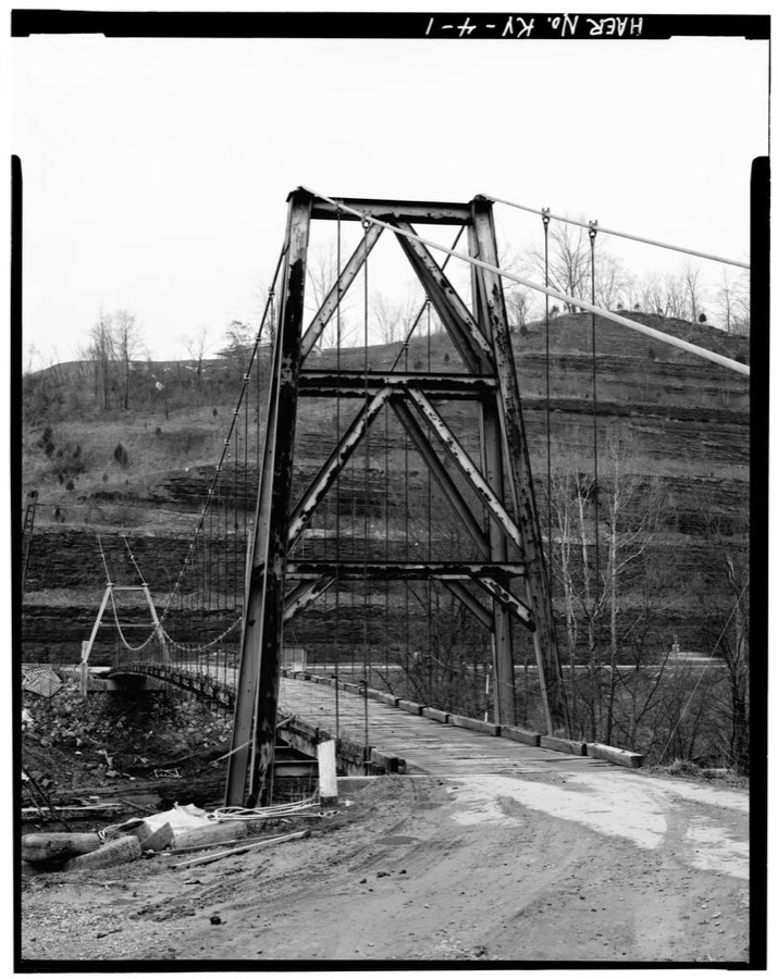
Every property in this county listed on the National Register of Historic Places, with the year it was listed and the federal nomination document.
| Photograph | Property | Type | Listed | Reference |
|---|---|---|---|---|
 | Chesapeake and Ohio Passenger Depot | building | 1987 | 87000618 |
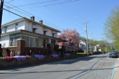 | College Street Historic District | district | 1984 | 84001913 |
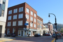 | Commercial Historic District | district | 2024 | 84001916 |
 | Elkhorn City Elementary and High School | building | 2015 | 15000085 |
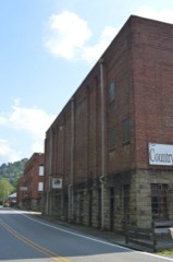 | Fordson Coal Company Buildings | building | 2002 | 02000917 |
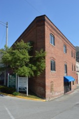 | Greer, R. T., and Company | building | 1984 | 84001918 |
| Hatfield-McCoy Feud Historic District | district | 1976 | 76000939 | |
| Huffman Avenue Historic District | district | 1984 | 84001927 | |
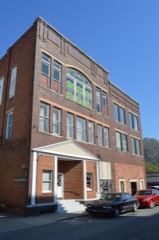 | Odd Fellows Building | building | 1984 | 84001929 |
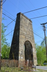 | Pauley Bridge | structure | 1992 | 92000290 |
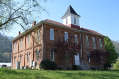 | Pikeville College Academy Building | building | 1973 | 73000828 |
| Scott Avenue Historic District | district | 1984 | 84001931 | |
| Stone Historic District | district | 2003 | 03001226 | |
| Third Street Historic District | district | 1984 | 84001933 | |
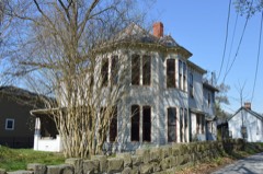 | York House | building | 1984 | 84001935 |
| York Mansion | building | 1984 | 84001937 |
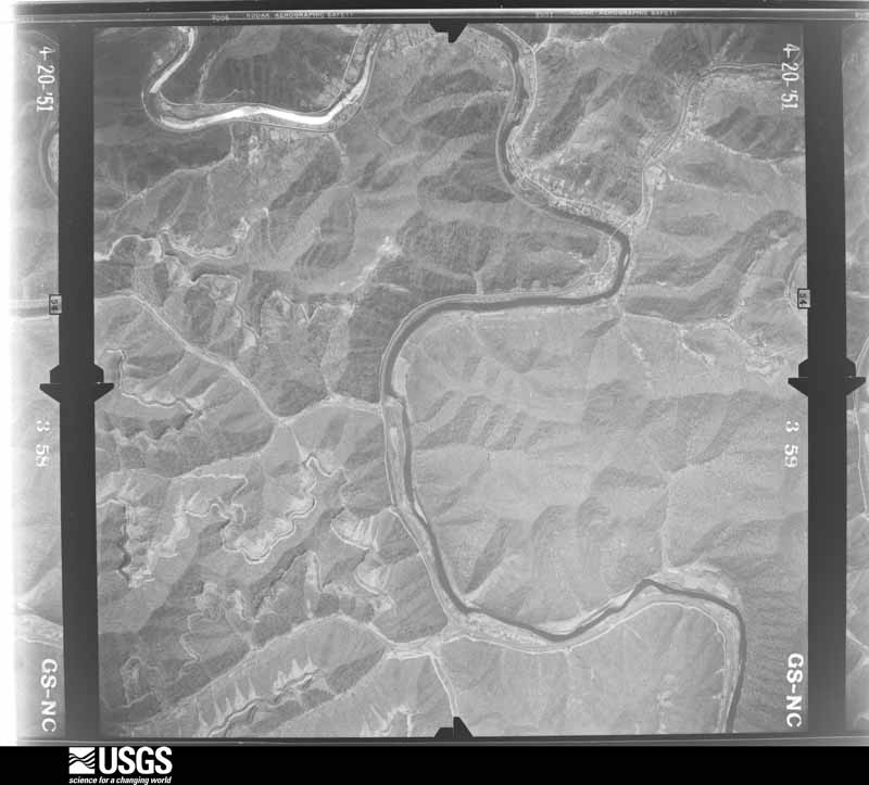
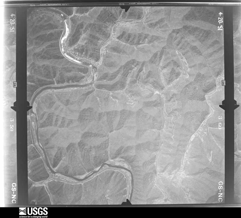
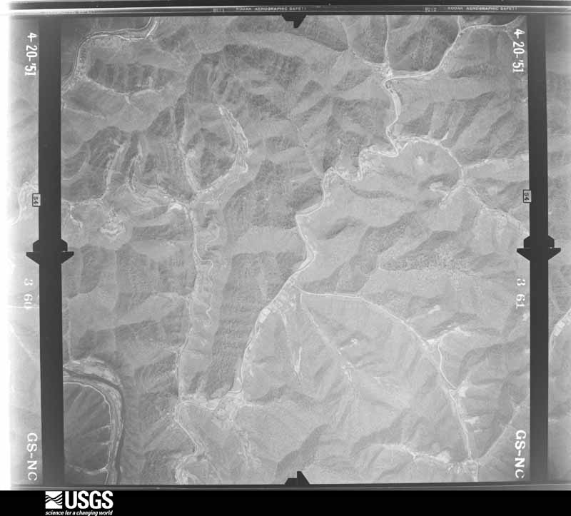
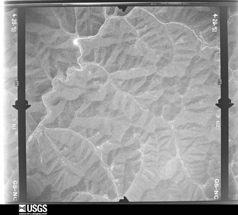
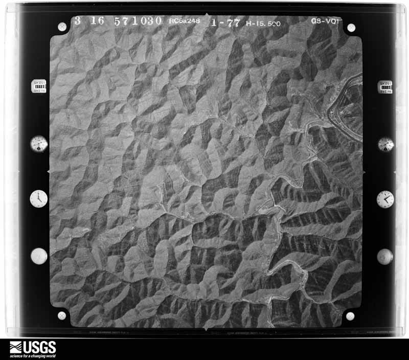
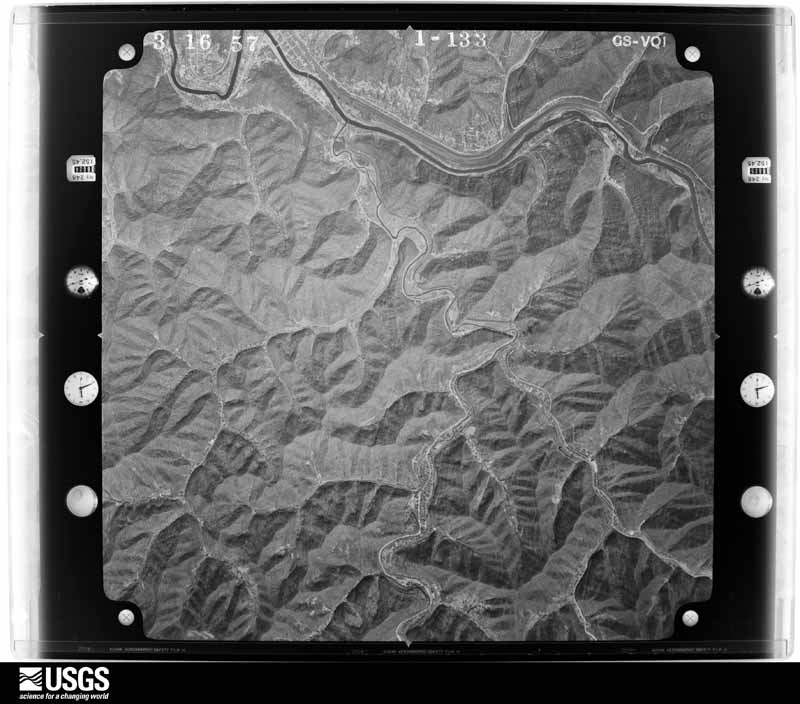
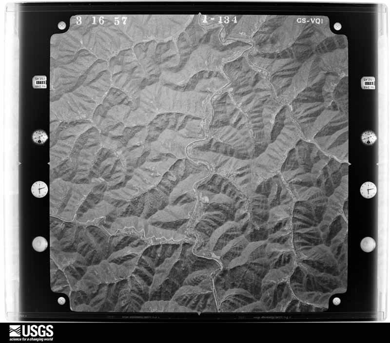
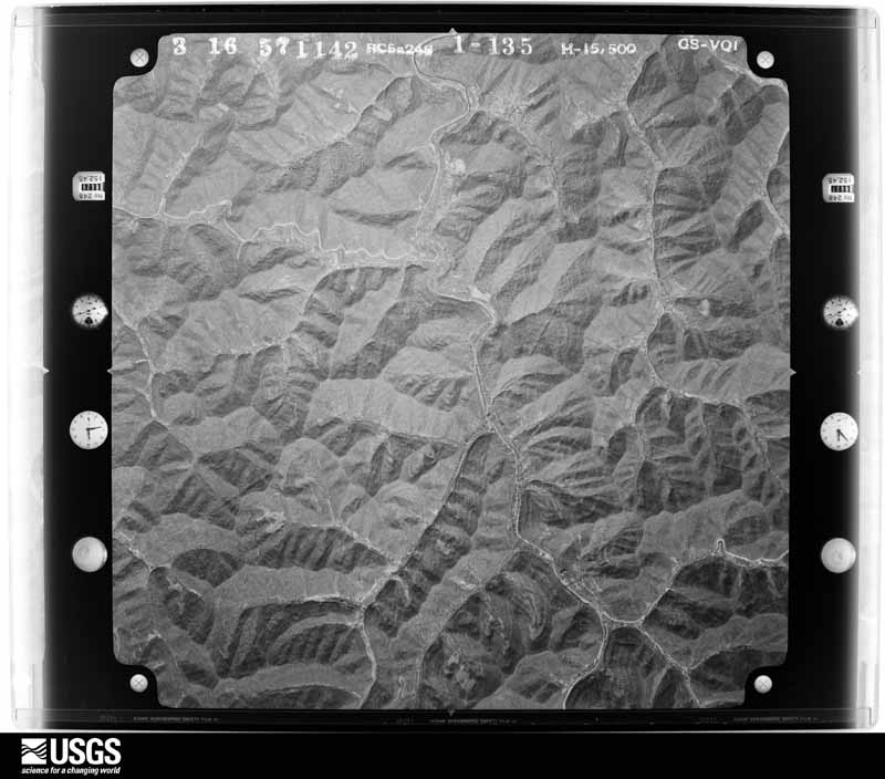
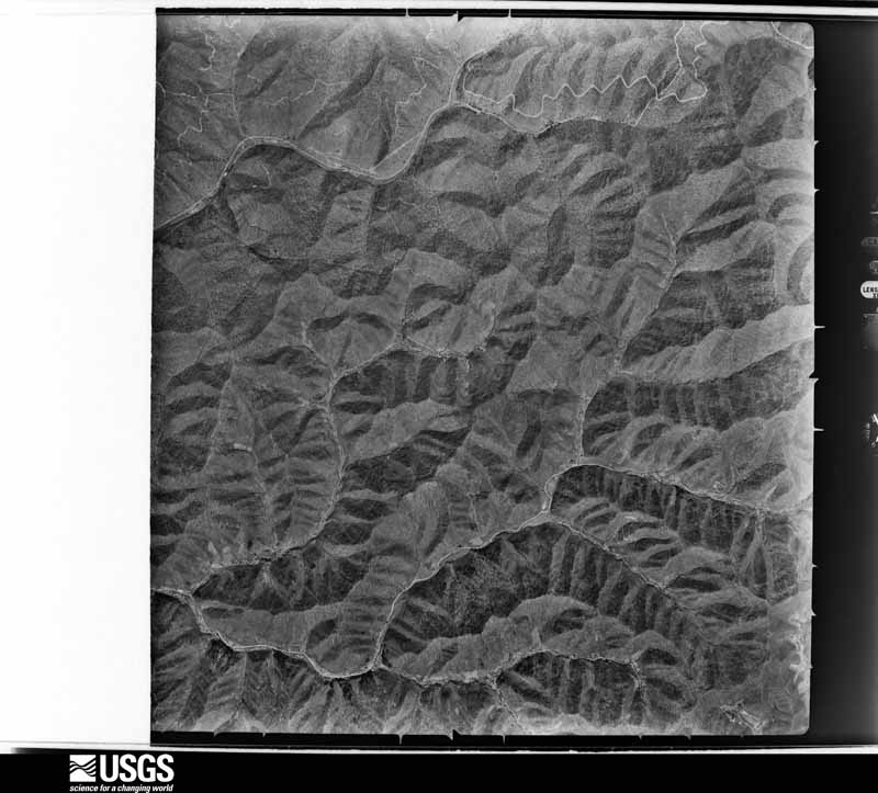
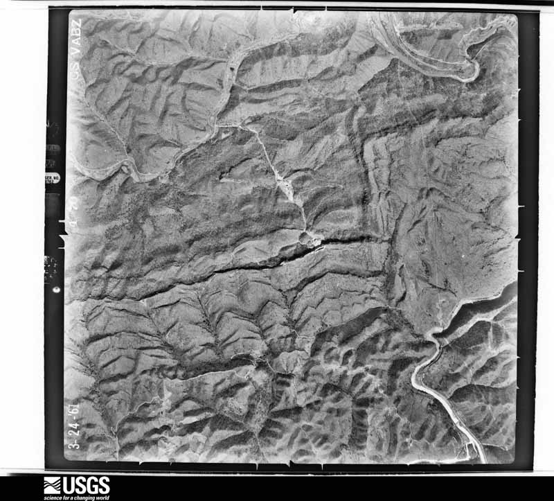
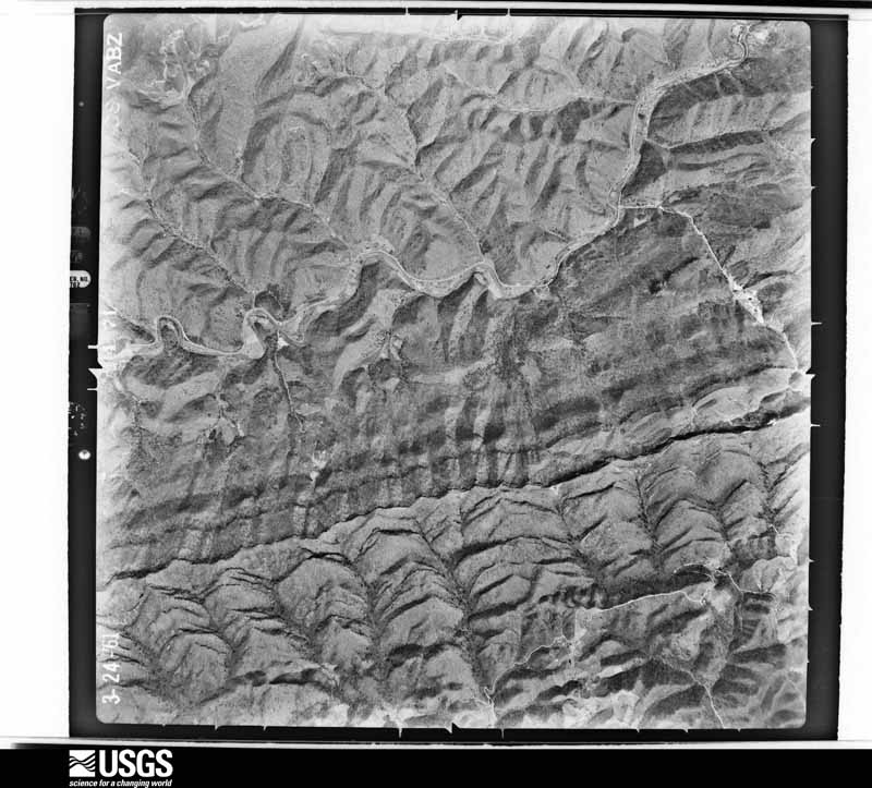
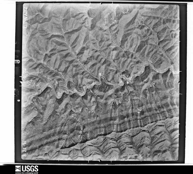
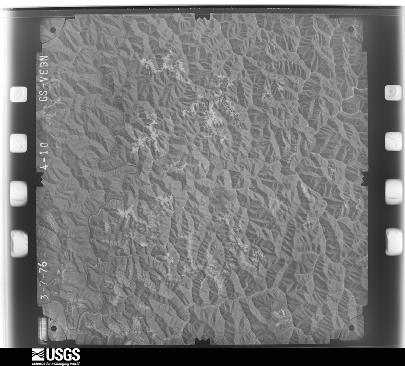
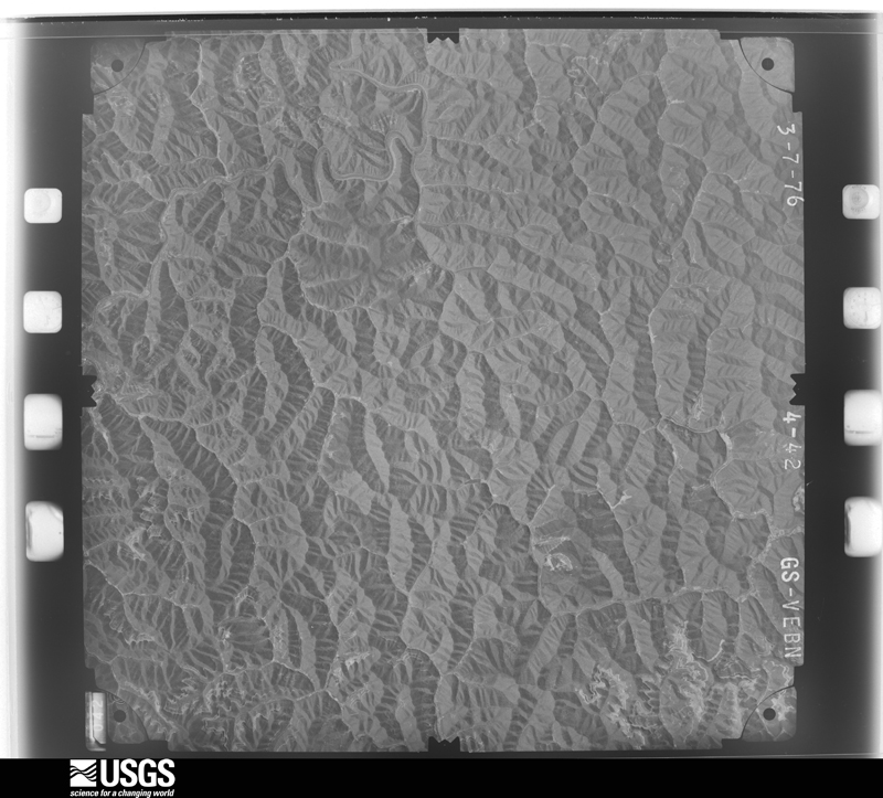
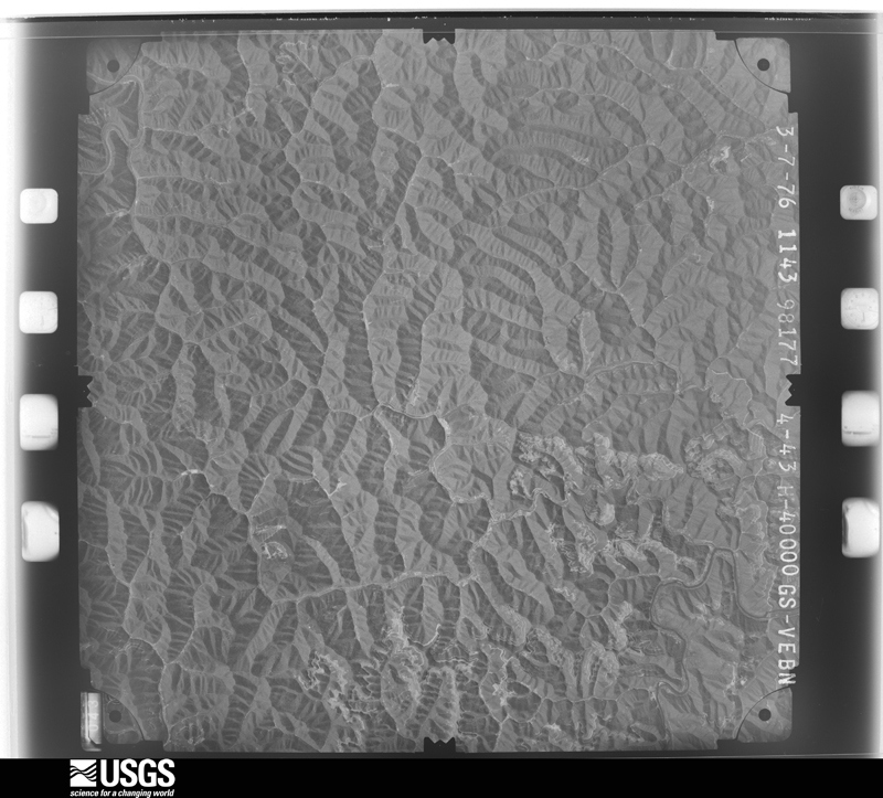
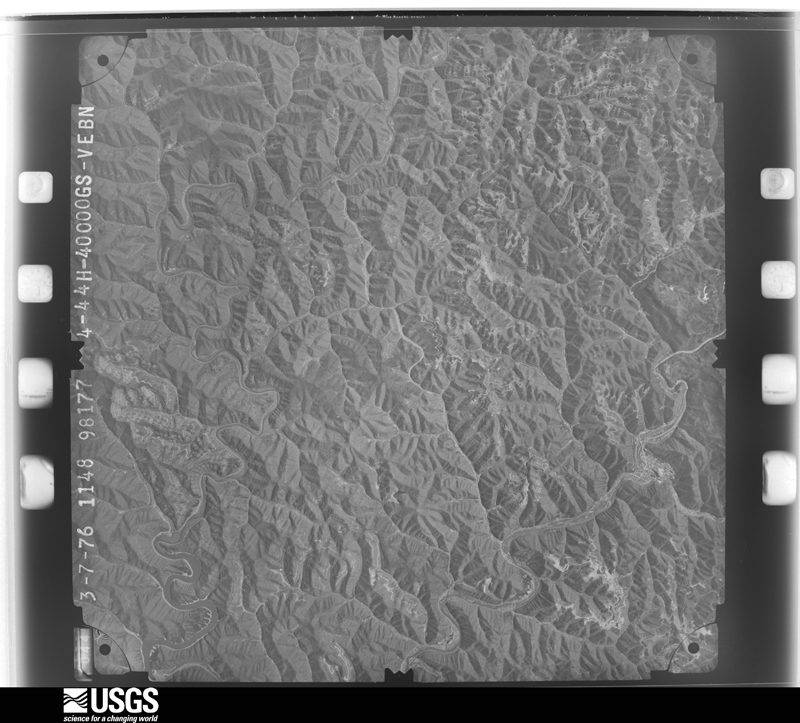
Flown by the U.S. Geological Survey between 1937 and 1989, the Aerial Photo Single Frames collection is the definitive mid-century view of the land: fields, roads and rivers as the camera saw them. The Survey holds 1,340 frames inside the rectangle that bounds this county; the 40 frames below were taken over the county itself, chosen across the decades of flights (at most four a year from that rectangle), so one flight cannot crowd out the rest. The full set is free to browse and download at EarthExplorer under the dataset Aerial Photo Single Frames.
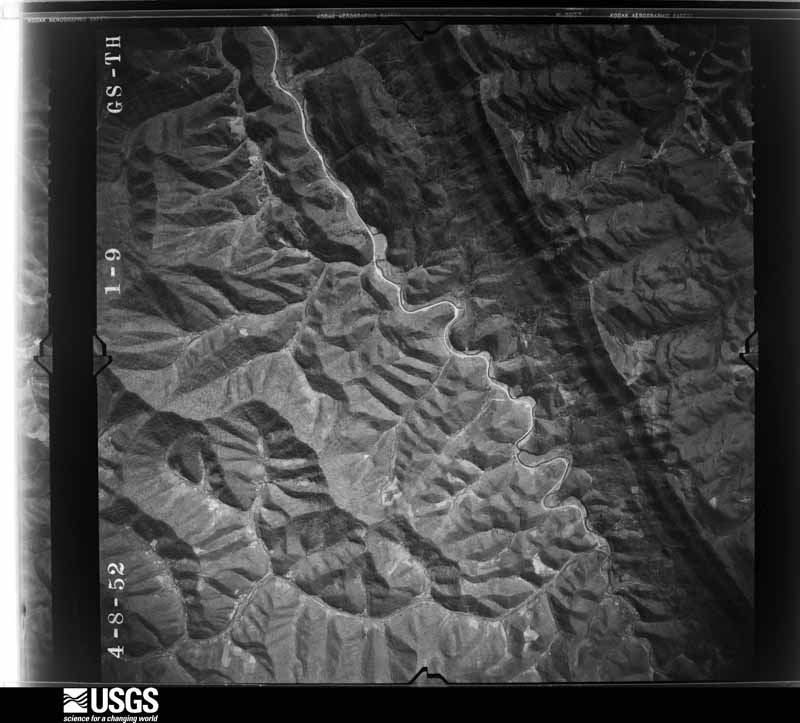
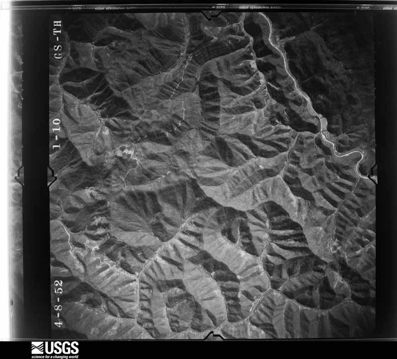
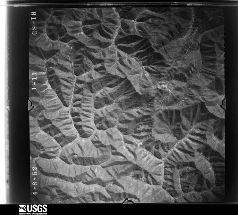
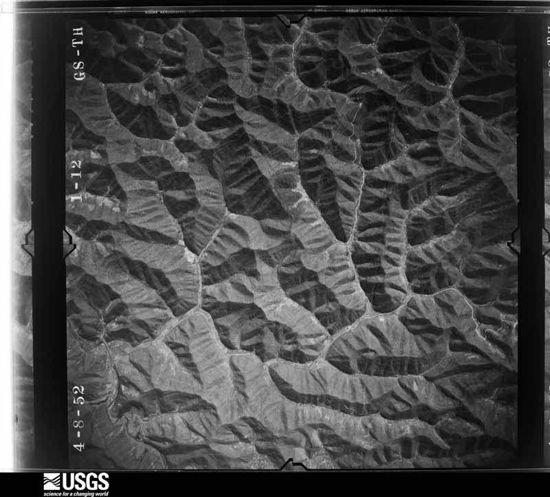
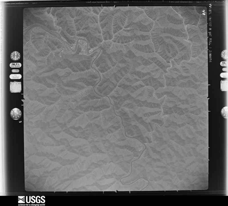
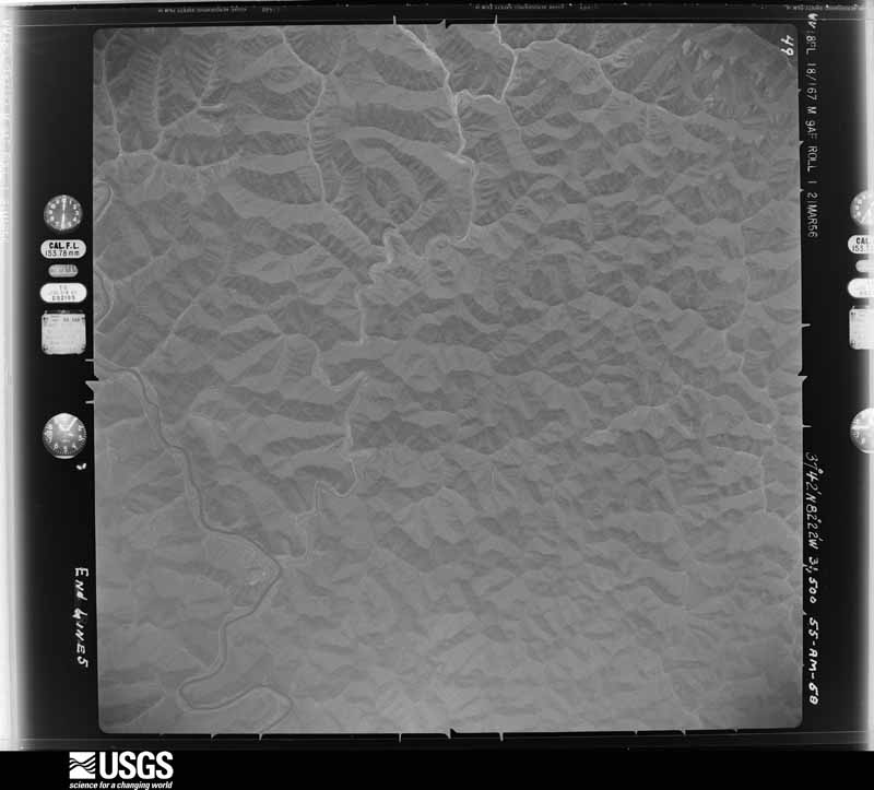
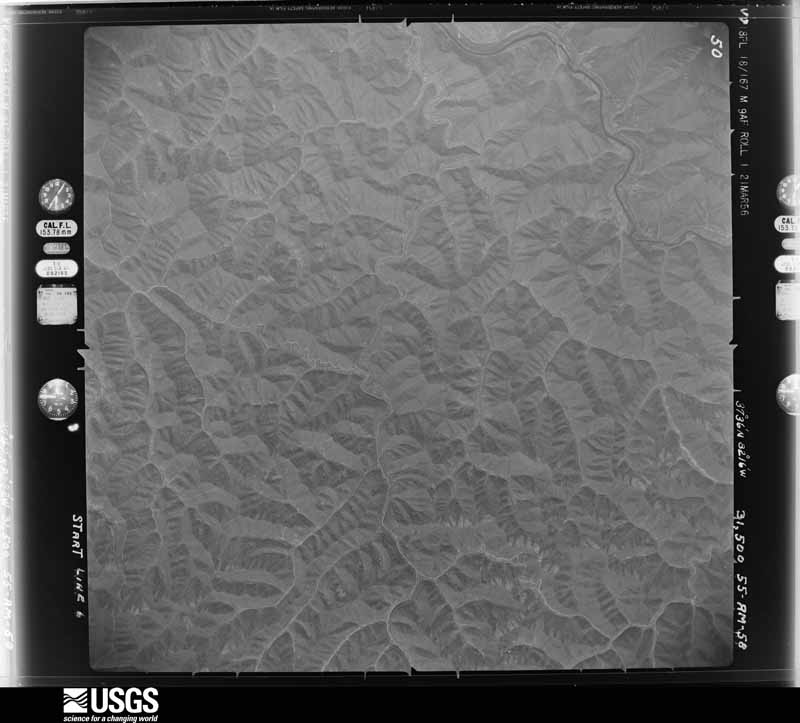
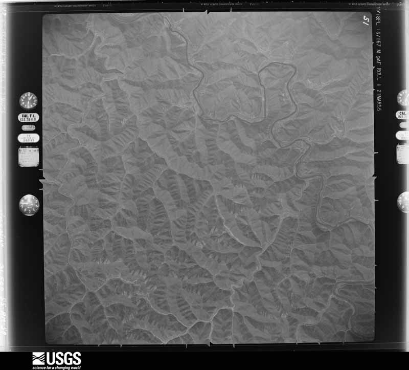
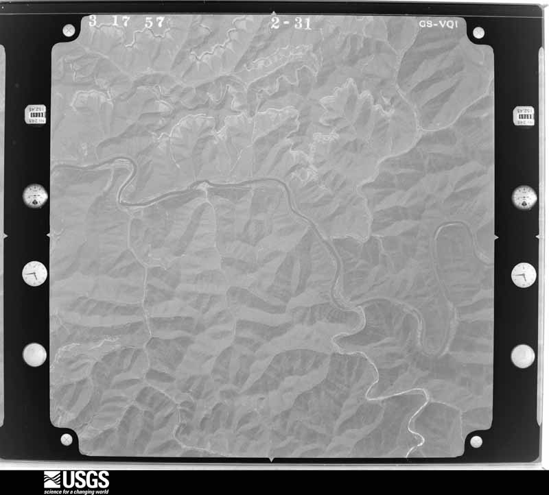
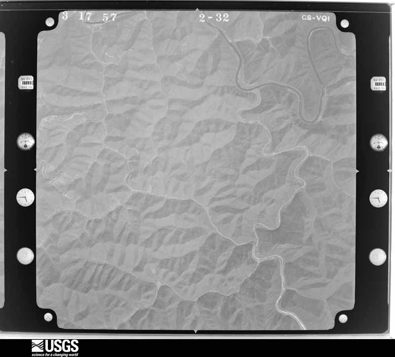
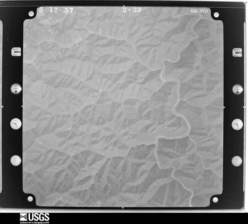
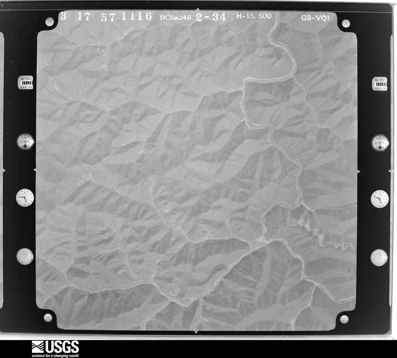
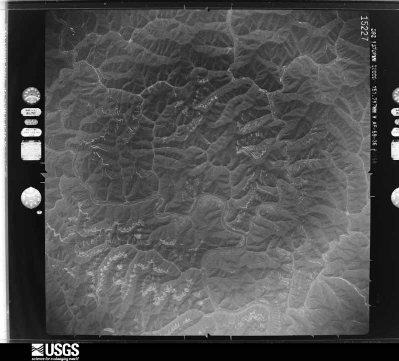
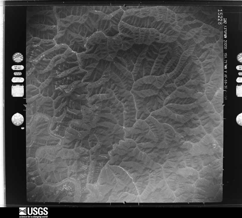
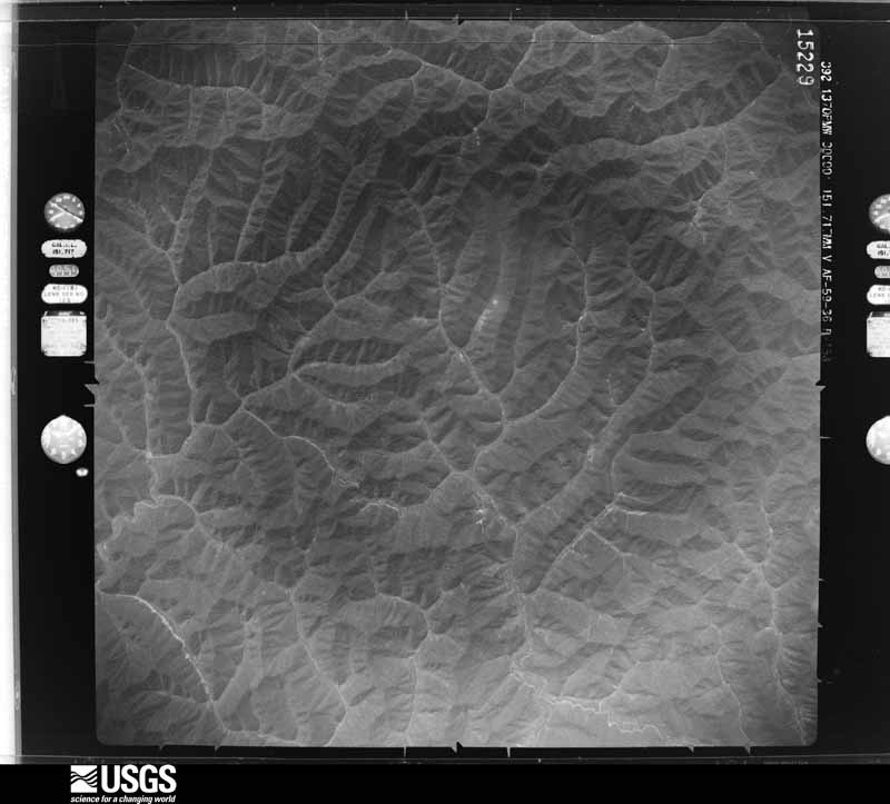
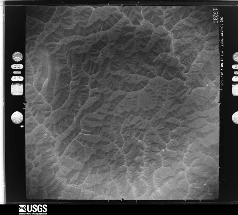
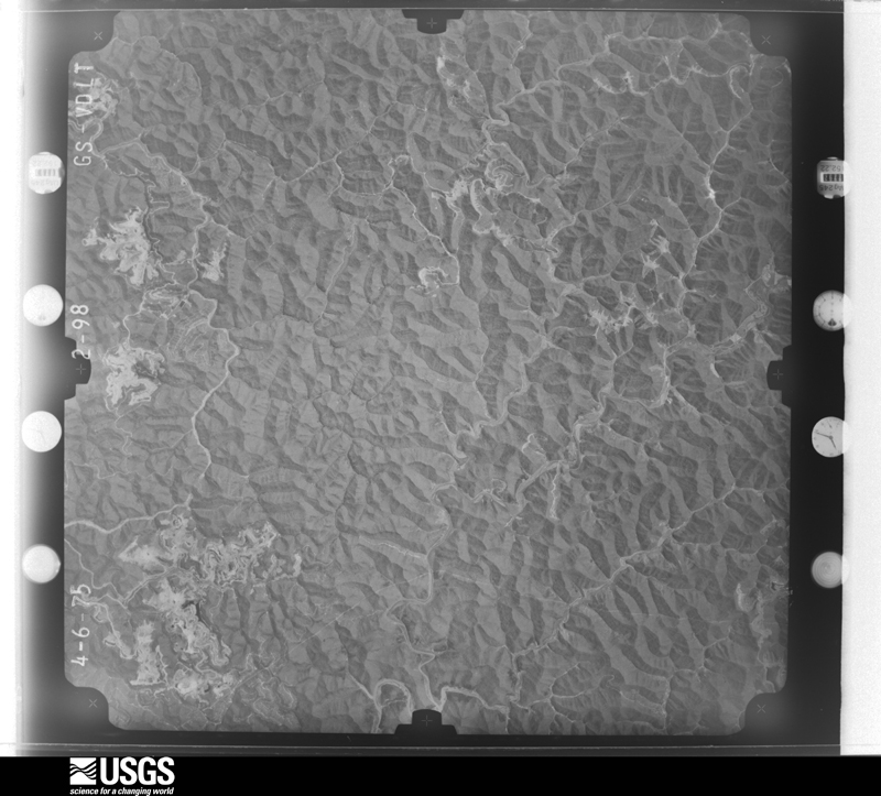
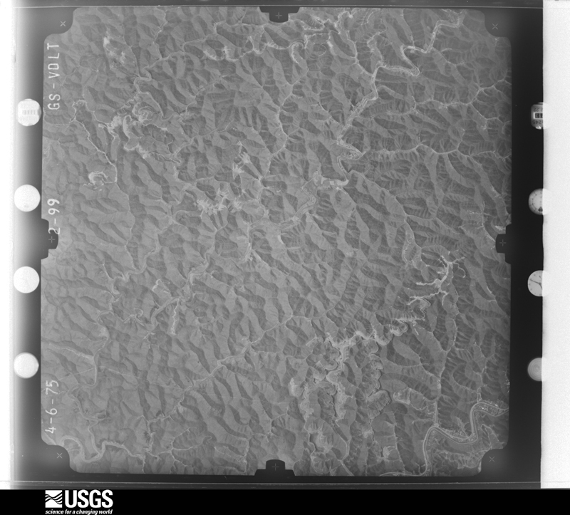
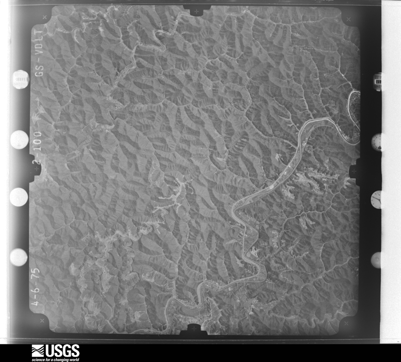
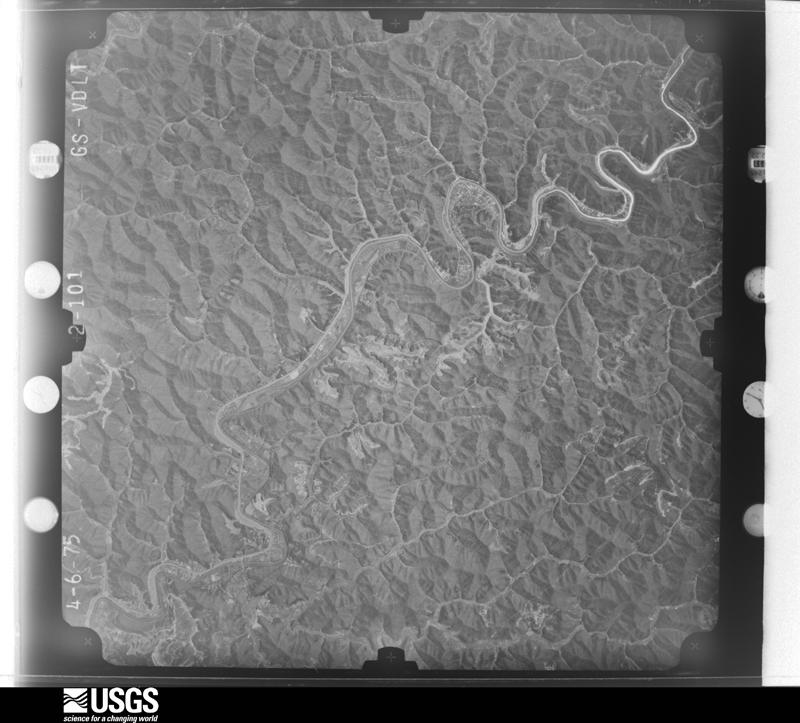

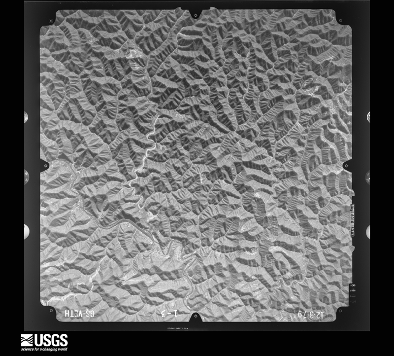
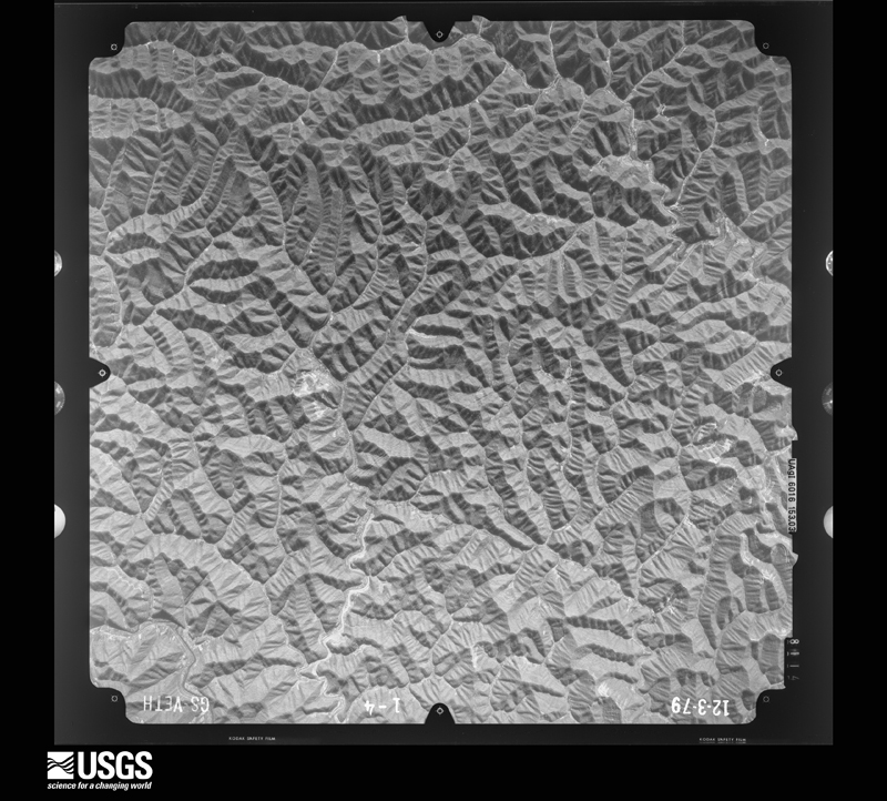
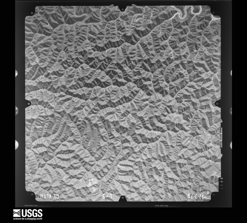
The thermometers that kept this county's weather, and the gages that measured the flow of its streams, as the federal records hold them. The extremes below are measured values from those records, not estimates.
Who lived here in 1950, one enumeration district at a time, as the Census Bureau described each district. Each row opens its official National Archives result, with Population Schedules and ED Maps available there.
Every wildfire the federal occurrence database records inside this county: 1,654 of them, burning about 136,834 acres. 4 started naturally and 339 were recorded as arson. Each settlement page carries the fires within five miles of it.
| Reported cause | Fires |
|---|---|
| Debris and open burning | 648 |
| Missing data/not specified/undetermined | 439 |
| Arson/incendiarism | 339 |
| Recreation and ceremony | 206 |
| Misuse of fire by a minor | 6 |
| Equipment and vehicle use | 5 |
| Natural | 4 |
| Smoking | 4 |
| Railroad operations and maintenance | 3 |
The five largest, by the area the report gives. 7 of them were set deliberately.
| Date | Cause | Size | Reported by | Name on the report |
|---|---|---|---|---|
| 21 November 1999 | Arson/incendiarism | 3,200 acres | Kentucky Division of Forestry | not named |
| 13 November 1999 | Arson/incendiarism | 3,100 acres | Kentucky Division of Forestry | not named |
| 12 November 1999 | Debris and open burning | 2,575 acres | Kentucky Division of Forestry | not named |
| 9 November 2001 | Arson/incendiarism | 2,500 acres | Kentucky Division of Forestry | not named |
| 11 November 1999 | Arson/incendiarism | 2,500 acres | Kentucky Division of Forestry | not named |
| 4 November 2001 | Arson/incendiarism | 2,100 acres | Kentucky Division of Forestry | not named |
| 31 October 2001 | Arson/incendiarism | 2,000 acres | Kentucky Division of Forestry | not named |
| 18 November 1999 | Arson/incendiarism | 1,800 acres | Kentucky Division of Forestry | not named |
Every settlement page carries the fires within five miles of it - see the settlement index below.
The NOAA Storm Events Database holds 742 reports for this county, causing 4 deaths, 5 injuries and about $13,971,720 in recorded property damage. Each settlement page carries the reports that name it.
| Kind of event | Reports |
|---|---|
| Thunderstorm Wind | 399 |
| Hail | 138 |
| Flash Flood | 137 |
| Flood | 42 |
| Heavy Rain | 15 |
| Debris Flow | 8 |
| Tornado | 2 |
| Lightning | 1 |
The most serious of them, by death, then injury, then recorded damage. The accounts are quoted exactly as the forecast office filed them.
| When | Event | Place named | Harm | What the report says |
|---|---|---|---|---|
| August 2001 | Flash Flood | Countywide | 2 killed, $6,000,000 | Widespread flash flooding occurred across the area prompting the county to be a Presidentially declared disaster area. Up to 5 inches fell in less that 3 hours on already saturated ground. Massive road and bridge damage resulted. Over 200 homes were affected by flooding with 5 homes being totally destroyed. Two people lost their lives in this event. The first was a woman in her early 20s that was trapped in her vehicle along with her sister on Kentucky route 1384 as high water pushed the car off of the road. Her sister escaped, but unfortunately the woman lost her battle to the quickly flowing waters and her evacuation attempt failed.The second fatality was a man in his early 30s who was swept away along Hurricane Creek while attempting to save his All Terrain Vehicle (ATV) out of fast flowing flash flood water.Most of the damage occurred on county roads and bridges where 5.5 million dollars in damages resulted. Close to 500 thousand dollars in damages resulted in loses to homes in the county. |
| August 2010 | Thunderstorm Wind | Phyllis | 1 killed, $20,000 | A man was killed when a tree fell on his car as he was driving past the Grapevine Elementary School on Hwy 194. |
| July 2010 | Flash Flood | Pikeville | 1 killed | A woman was swept away in flood waters near the intersection of Walters Road and KY Hwy 1460 east of Pikeville. |
| May 1999 | Flash Flood | Virgie | 2 hurt, $150,000 | 3.75 inches of rain fell in less than an hour on the long branch area. Flooding brought rocks, trees and other debris down a hillside near Virgie. A garage containing two cars collapsed, a house and mobile home received major damage and four houses received minor damage. Two people received leg injuries as they were caught in the debris flow. |
| April 2011 | Thunderstorm Wind | Fishtrap | 2 hurt, $8,000 | There was a trailer blown over with people inside. |
| January 2008 | Thunderstorm Wind | Shelbiana | 1 hurt, $10,000 | One injury resulted from this event. A guard shack was blown over with a guard inside of it. The guard sustained minor injuries. A few trees were also blown down by wind gusts estimated at 67 mph. |
| June 2003 | Flash Flood | Dorton | $2,800,000 | Several roads and sewer systems were destroyed from incessant heavy rainfall across especially the southern part of the county. |
| May 1996 | Flash Flood | Belfry | $1,000,000 | no account filed |
| August 2000 | Flash Flood | Countywide | $500,000 | Strong to severe thunderstorms produced heavy amounts of rain across the county. Reports of 2 to 3 inches in an hours time were common. This caused creeks and streams to overflow their banks. Water was out of the creek and onto Highway 119 and 23 near Pikeville, as well as, over Buckfeild road. Several roads were also closed in downtown Pikeville due to high water. Rock and mud slides were reported, one blocking Widow Branch road. A family was trapped by flood waters surrounding their trailer, no injuries were reported. A bridge was also washed out at Feds Creek at the mouth of Motley Fork. Many of the roads that were damaged during this storm were damaged twice before in flash flooding during the past several weeks. |
| February 2020 | Heavy Rain | Draffin | $250,000 | Local media reported a train derailment as a result of an active mudslide, caused by previous heavy rainfall, near Draffin. |
| April 2007 | Flash Flood | Phelps | $250,000 | US 194 near Phelps, US 119 at Johns Creek and Meta, US 460 at Millard, and KY 80 at Elkhorn closed due to high water. Numerous secondary roads also closed. Route 194 at Majestic Mountain impassable. A 50 foot section of US 460 and KY Rt 122 Intersection and the mouth of Chloe Rd collapsed. |
| August 1997 | Hail | Pikeville | $250,000 | no account filed |
| January 2022 | Flash Flood | Belfry | $200,000 | Water is reported to be in homes in the Belfry Community. Water rescues are about to be performed. |
| August 2022 | Flash Flood | Shock | $200,000 | Water was reported out of the banks along Lower Dix Fork near the Canada community and getting into nearby homes. |
| June 2009 | Flash Flood | Mc Andrews | $150,000 | At around 1am, two inches of rain fell in a short period of time in the Ball Fork and Ball Branch area. The emergency manager estimates the flowing water was bout 18 inches deep. This caused extensive damage to roadways and culverts. |
| August 2014 | Flash Flood | Mc Combs | $100,000 | A foot of water was reported flowing across Highway 3227 from Joes Creek into Johns Creek, with flooding beginning between 715 pm EST and 730 pm EST. Highway 90 at Kinnikinnick Lane was also flooded with people trapped inside of a residence. Stone Coal Creek flooded Stone Coal Road near the Walmart with water up to the guardrail. Hurricane Creek also flooded in multiple locations with water reported in the Old Regular Church near the community of Owsley. |
| March 2025 | Thunderstorm Wind | Broad Bottom | $75,000 | Law enforcement initially reported that a roof was blown off a structure, with additional damage to the second story of the same structure along US-23 between Boldman and Broad Bottom. Debris was reported to be blocking all lanes of US-23. In addition, power lines were also blown down at this location, as well as on nearby Ziegler Road. A NWS Storm Survey team was sent out to the look at the damage. They observed an outer wall having collapsed and significant roof damage sustained at an older office building on the east side of Sunset Drive and just south of US-23. Debris was blown downwind towards US-23. A semi-trailer just north of US-23 was also pivoted by the wind in a similar direction. The team concluded damage was likely due to a microbust of winds in this location. |
| February 2019 | Heavy Rain | Pikeville | $75,000 | A local media outlet relayed a report of a substantial rockslide early in the morning of February 22, resulting from continued rainfall over the past few days. Rocks fell onto several cars and also damaged the building of a wrecker service business. This slowed down traffic onto South Mayo Trail. |
| January 2022 | Flash Flood | Belfry | $50,000 | Reports of flooding in the community of Belfry. Belfry Middle School is inundated with water. |
| January 2022 | Flash Flood | Meta | $50,000 | A report via social media showed Johns Creek Elementary surrounded by water. |
| January 2022 | Flash Flood | Zebulon | $50,000 | A mobile home park was flooded in the community of Zebulon. |
| May 2017 | Flash Flood | Kimper | $50,000 | Emergency management relayed reports of flowing water over Callahan Branch and Peter Fork Road near Buskirk, knocking a few homes off of their foundations. |
| July 2010 | Flash Flood | Lick Creek | $50,000 | Water was flowing over private bridges undermining and destroying one with the water from Lock Creek flowing over Highway 1373 at Lick Creek. Water estimated at one to four feet deep was flowing over portions of Elswick Fork Rd along Elswich Fork of Lick Creek, removing pavement from 10 and 40 yard sections of the roadway. Water along Elswick Fork reached into an SUV and to the bottom of porches at several homes. |
| June 2009 | Flash Flood | Mayflower | $50,000 | Flood water was reported to be entering homes and some nearby roads were impassable due to flooding. Homes were also flooded in Raccoon along with multiple washouts along Dry Branch Road. |
| April 2007 | Flash Flood | Belfry | $50,000 | Evacuation of several residents on Hatcher Street in Belfrey. Evacuation of residents of Octavia Hollow in the Stone area of Highway 199. |
| May 2004 | Thunderstorm Wind | Countywide | $50,000 | One home located four miles west northwest of Marrowbone had a roof blown off, causing it to fall apart in the Greasy Creek area. Trees were down across the county. |
| May 1996 | Flash Flood | Varney | $50,000 | no account filed |
| June 2012 | Thunderstorm Wind | Forest Hills | $40,000 | Trees were blown with one tree holding three others back about to fall on road and homes. |
| November 2003 | Thunderstorm Wind | Elk Horn City | $40,000 | Straight-line wind blew several trees down, with one willow tree falling onto a trailer home, splitting it in half. Severe thunderstorm wind blew one untied trailer home off of the foundation and ripped off siding, awnings, and shingles of several homes. The damage path was about one and a half miles long and 150 yards wide. |
| May 2001 | Thunderstorm Wind | Meta | $40,000 | Severe thunderstorm winds blew off the roof of a church. The debris also brought power lines down in the parking lot area. |
| April 2007 | Thunderstorm Wind | Pikeville | $35,000 | Trailer blown over near Pikeville. |
| June 2022 | Thunderstorm Wind | Atlex | $30,000 | A tree was blown down and through a mobile home in the Aflex community. |
| June 2012 | Thunderstorm Wind | Raccoon | $30,000 | Trees and power lines were blown down and on fire on Maynard Drive. |
| June 2012 | Thunderstorm Wind | Fedscreek | $30,000 | There were several trees blown down. |
| May 2009 | Thunderstorm Wind | Pikeville | $30,000 | Downed power lines left 2000 people without power across the county. |
| April 2011 | Thunderstorm Wind | Pikeville | $25,000 | Shingles were blown off the roof of a house. Multiple trees were blown down in a nearby neighborhood. |
| April 2009 | Thunderstorm Wind | Pikeville | $25,000 | The roof was blown off a home at Millard. A tree was blown onto a mobile home at Buscurk. Trees and power lines were blown down at Slaters Branch. |
| June 2008 | Thunderstorm Wind | Virgie | $25,000 | Numerous trees were blown down by thunderstorm wind gusts. |
| July 2001 | Flash Flood | Shelbiana | $25,000 | Heavy rains brought wide spread flash flooding to the area. Hardest hit areas were Sookeys Creek, Lick Fork and Town Fork. 3 to 5 inches of rain fell in these areas washing out creek beds causing major damage to roadways, storm drains and personal property. |
| January 2022 | Flash Flood | Canada | $20,000 | Big Creek Fire Department is inundated with water near the community of Sidney. |
| June 2022 | Thunderstorm Wind | Belfry | $20,000 | Straight line winds blew the metal roof off of an auto sales building in Belfry. |
| August 2021 | Flash Flood | Pauley | $20,000 | Stone Coal Road, near the Coal Run Village in northern Pikeville, is blocked by high water. One car was reported to have vanished beneath the deep water. Other cars are stranded. |
| August 2021 | Flash Flood | Broad Bottom | $20,000 | Flash flooding was reported at Venters Lane Trailer Park. |
| August 2020 | Thunderstorm Wind | Marrowbone | $20,000 | Local law enforcement reported that a roof had been blown off a commercial building due to thunderstorm wind gusts on Hwy 460 near the Marrowbone Community in Pike County. |
| May 2017 | Flash Flood | Elk Horn City | $20,000 | Several citizens reported flash flooding throughout Elkhorn City. Culverts overspilled while numerous roads contained flowing water several feet deep. Nearby homes and businesses were threatened, with a few being infiltrated by water as bridges were also washed away. |
| June 2012 | Thunderstorm Wind | Peg | $20,000 | Trees were blown down on Pond Creek Road. |
| April 2011 | Thunderstorm Wind | Pikeville | $20,000 | Traffic lights were blown down at the intersection of US Hwy 119 and US Hwy 23. |
| April 2011 | Thunderstorm Wind | Shelbiana | $20,000 | The roof was blown off of a home in Shelbiana. Power lines and trees were also blown down in the area. |
| June 2009 | Thunderstorm Wind | Elk Horn City | $20,000 | Trees were blown down in several locations across the county. Locations include Elkhorn City, Sidney, and Dicks Fork. |
| February 2009 | Thunderstorm Wind | Pikeville | $20,000 | Trees were blown down in and around Pikeville. |
| April 2008 | Thunderstorm Wind | Kimper | $20,000 | A trailer was blown off its foundation. |
| June 2007 | Thunderstorm Wind | Fishtrap | $20,000 | Numerous trees down on Route 460 at Millard High School. |
| April 2007 | Flash Flood | Zebulon | $20,000 | Several houses and businesses on Kentucky Highway 1441 surrounded by water from Coons Creek. Also the Willow Trailer Court has numerous trailers surrounded by water. |
| January 1997 | Thunderstorm Wind | Pikeville | $20,000 | no account filed |
| August 2007 | Thunderstorm Wind | Pikeville | $18,000 | Piece of sheet metal lifted and dropped through the roof of a YMCA building. Part of the building was under construction. |
| June 2012 | Thunderstorm Wind | Majestic | $15,000 | A tree fell on a trailer and was blocking the road on Highway 194 near Majestic. |
| July 2012 | Thunderstorm Wind | Ashcamp | $15,000 | The roof was blown off of a structure and into the roadway near 2294 Hurricane Creek Rd. |
| April 2011 | Thunderstorm Wind | Coal Run | $15,000 | Roofs of the buildings in a self storage facility were damaged by thunderstorm wind gusts. The roof of a machine shop in Coal Run was also damaged. |
| June 2010 | Thunderstorm Wind | Phelps | $15,000 | Numerous trees were blown down on roads across the east and southeast end of Pike county. |
| June 1999 | Thunderstorm Wind | Belfry | $15,000 | Strong winds blew down several trees and powerlines in the Forest Hills area. Tree damage occurred at KY Governor Paul Patton's home which had to be removed from the street. A storage building lost its roof and the debris was scattered 100 feet. A radio tower owned by the John's Creek Fire Department was damaged. This tower also had some of the Appalachian Pager equipment on it which was also damaged. |
The Survey's mineral resources record lists 4 workings inside this county. 2 still produce and 2 are closed or unrecorded. Each settlement page carries the workings within five miles of it.
| Commodity | Workings |
|---|---|
| Stone, Crushed/Broken | 2 |
| Clay | 2 |
The least common of them first, because a county's hundredth gravel pit says nothing its first ten did not.
| Where | Site | Commodity | Status | Recorded |
|---|---|---|---|---|
| Elkhorn Quarry | Stone, Crushed/Broken | Producer | ||
| Highway 80 Roadcut | Clay | Prospect | ||
| Johnson Mine | Stone, Crushed/Broken | Producer | ||
| Roadcut Shale | Clay | Unknown |
Named settlements recorded in the Geographic Names Information System, each with the topographic sheets covering it. Villages, hamlets and abandoned places alike. Each is shown with the nearest named watercourse or landform and the survey quadrangle it falls on. The 1 place that was also surveyed for fire insurance comes first, with the number of atlases and photographs held for them.
Pikeville census division · 41501 · Near Peach Orchard Bottom · Pikeville quadrangle
18 sheets, 1890 to 1992
Fire insurance: 5 atlases
South Williamson census division · 41514 · Near Culler Hollow · Delbarton quadrangle
22 sheets, 1887 to 1982
Hellier census division · 41534 · On Garden Branch · Hellier quadrangle
19 sheets, 1886 to 1977
No longer a settlement
Phelps census division · 41528 · On Lynntrough Branch · Matewan quadrangle
24 sheets, 1887 to 1992
No longer a settlement
Ashcamp census division · 41522 · On Ashcamp Branch · Hellier quadrangle
19 sheets, 1886 to 1977
Millard census division · 41501 · On Russell Fork · Millard quadrangle
18 sheets, 1886 to 1978
No longer a settlement
Mayflower census division · 41501 · On Spears Branch · Thomas quadrangle
16 sheets, 1886 to 1992
No longer a settlement
Robinson Creek census division · 41572 · On Big Rock Branch of Bear Fork · Pikeville quadrangle
18 sheets, 1890 to 1992
No longer a settlement
Elkhorn City census division · 41522 · On Beaver Creek · Elkhorn City quadrangle
20 sheets, 1886 to 1977
Elkhorn City census division · 41522 · On Houselog Fork · Elkhorn City quadrangle
20 sheets, 1886 to 1977
No longer a settlement
Elkhorn City census division · 41522 · On Ferrell Creek · Elkhorn City quadrangle
20 sheets, 1886 to 1977
South Williamson census division · 41514 · On Peg Branch · Belfry quadrangle
19 sheets, 1887 to 1992
Raccoon census division · 41501 · On Swamp Branch · Meta quadrangle
20 sheets, 1887 to 1992
No longer a settlement
Hellier census division · 41522 · Near Graveyard Hollow · Hellier quadrangle
19 sheets, 1886 to 1977
Long Fork census division · 41572 · On Little Fork · Dorton quadrangle
18 sheets, 1890 to 1992
No longer a settlement
Pikeville census division · 41501 · On Ratliff Branch · Broad Bottom quadrangle
15 sheets, 1886 to 1992
No longer a settlement
Fedscreek census division · 41548 · On Big Creek · Lick Creek quadrangle
19 sheets, 1886 to 1978
Raccoon census division · 41501 · On Bevins Branch · Meta quadrangle
20 sheets, 1887 to 1992
Pikeville census division · 41501 · On Kinnikinnick Branch · Broad Bottom quadrangle
15 sheets, 1886 to 1992
Phelps census division · 41553 · In Board Tree Hollow · Matewan quadrangle
24 sheets, 1887 to 1992
Pikeville census division · 41501 · On James Fork · Millard quadrangle
18 sheets, 1886 to 1978
No longer a settlement
Pikeville census division · 41501 · On Oldhouse Branch · Broad Bottom quadrangle
15 sheets, 1886 to 1992
South Williamson census division · 41514 · On Lower Stringtown Branch · Delbarton quadrangle
22 sheets, 1887 to 1982
McCarr census division · 41544 · On Lower Oldhouse Branch · Matewan quadrangle
24 sheets, 1887 to 1992
Mayflower census division · 41501 · On Monty Lowe Branch · Thomas quadrangle
16 sheets, 1886 to 1992
No longer a settlement
Phelps census division · 41553 · On Poor Branch · Jamboree quadrangle
20 sheets, 1886 to 1977
No longer a settlement
Phelps census division · 41568 · On Owen Branch · Hurley quadrangle
20 sheets, 1886 to 1977
No longer a settlement
Sidney census division · 41519 · On Coburn Branch · Belfry quadrangle
19 sheets, 1887 to 1992
Elkhorn City census division · 41522 · On Left Fork Beaver Creek · Elkhorn City quadrangle
20 sheets, 1886 to 1977
Pikeville census division · 41501 · On Ratliff Branch · Broad Bottom quadrangle
15 sheets, 1886 to 1992
Phelps census division · 41553 · On Low Gap Branch · Jamboree quadrangle
20 sheets, 1886 to 1977
Pikeville census division · 41501 · On Stagger Fork · Pikeville quadrangle
18 sheets, 1890 to 1992
McCarr census division · 41558 · Near Blue Spring Hollow · Matewan quadrangle
24 sheets, 1887 to 1992
No longer a settlement
Pikeville census division · 41562 · On Dry Creek · Millard quadrangle
18 sheets, 1886 to 1978
No longer a settlement
Millard census division · 41501 · On Daniels Branch · Millard quadrangle
18 sheets, 1886 to 1978
No longer a settlement
Robinson Creek census division · 41501 · Near Crab Apple Hollow · Pikeville quadrangle
18 sheets, 1890 to 1992
Elkhorn City census division · 41522 · On Pond Creek · Hellier quadrangle
19 sheets, 1886 to 1977
Fedscreek census division · 41524 · On Second Big Creek Fork · Jamboree quadrangle
20 sheets, 1886 to 1977
Elkhorn City census division · 41522 · In Dunleary Hollow · Elkhorn City quadrangle
20 sheets, 1886 to 1977
Pikeville census division · 41501 · On Upper Chloe Creek · Millard quadrangle
18 sheets, 1886 to 1978
No longer a settlement
Hellier census division · 41522 · On Brushy Branch · Hellier quadrangle
19 sheets, 1886 to 1977
Dorton census division · 41537 · On Threemile Branch · Dorton quadrangle
18 sheets, 1890 to 1992
Elkhorn City census division · 41522 · On Elkhorn Creek · Elkhorn City quadrangle
20 sheets, 1886 to 1977
Mayflower census division · 41514 · On Middle Fork Rockhouse Fork · Varney quadrangle
20 sheets, 1887 to 1992
No longer a settlement
Dorton census division · 41572 · On Adkins Branch · Dorton quadrangle
18 sheets, 1890 to 1992
Robinson Creek census division · 41501 · On Caney Creek · Dorton quadrangle
18 sheets, 1890 to 1992
Long Fork census division · 41572 · On Poor Fork · Wheelwright quadrangle
19 sheets, 1890 to 1992
Elkhorn City census division · 41522 · On John Moore Branch · Elkhorn City quadrangle
20 sheets, 1886 to 1977
Fedscreek census division · 41524 · On Feds Creek · Jamboree quadrangle
20 sheets, 1886 to 1977
Elkhorn City census division · 41513 · On Honey Fork · Elkhorn City quadrangle
20 sheets, 1886 to 1977
No longer a settlement
Millard census division · 41557 · On Jonican Branch · Millard quadrangle
18 sheets, 1886 to 1978
No longer a settlement
Pikeville census division · 41501 · On Fords Branch · Pikeville quadrangle
18 sheets, 1890 to 1992
South Williamson census division · 41527 · Near Pauley Hollow · Williamson quadrangle
23 sheets, 1887 to 1992
Phelps census division · 41528 · On Peter Creek · Matewan quadrangle
24 sheets, 1887 to 1992
Robinson Creek census division · 41501 · On Little Branch · Dorton quadrangle
18 sheets, 1890 to 1992
No longer a settlement
Pikeville census division · 41501 · Near Narrow Hollow · Millard quadrangle
18 sheets, 1886 to 1978
South Williamson census division · 41514 · On Pond Creek · Williamson quadrangle
23 sheets, 1887 to 1992
Raccoon census division · 41557 · On Grassy Branch · Meta quadrangle
20 sheets, 1887 to 1992
No longer a settlement
Millard census division · 41562 · On Gardiner Fork · Millard quadrangle
18 sheets, 1886 to 1978
Mayflower census division · 41501 · On Sycamore Creek · Thomas quadrangle
16 sheets, 1886 to 1992
Fedscreek census division · 41548 · Near Pigeonroost Hollow · Harman quadrangle
22 sheets, 1886 to 1977
No longer a settlement
South Williamson census division · 41531 · On Narrows Branch · Matewan quadrangle
24 sheets, 1887 to 1992
Long Fork census division · 41572 · On Sugarcamp Branch · Wheelwright quadrangle
19 sheets, 1890 to 1992
No longer a settlement
Pikeville census division · 41501 · On Lank Branch · Pikeville quadrangle
18 sheets, 1890 to 1992
No longer a settlement
Long Fork census division · 41572 · On Buck Tackett Branch · Wheelwright quadrangle
19 sheets, 1890 to 1992
Sidney census division · 41514 · On Low Gap Fork · Williamson quadrangle
23 sheets, 1887 to 1992
Fedscreek census division · 41539 · On Pritchett Fork · Lick Creek quadrangle
19 sheets, 1886 to 1978
No longer a settlement
Mayflower census division · 41501 · On Big Branch · Varney quadrangle
20 sheets, 1887 to 1992
Hellier census division · 41534 · On Brushy Branch · Hellier quadrangle
19 sheets, 1886 to 1977
Hellier census division · 41522 · On Big Branch · Hellier quadrangle
19 sheets, 1886 to 1977
Elkhorn City census division · 41513 · On Honey Fork · Elkhorn City quadrangle
20 sheets, 1886 to 1977
South Williamson census division · 41535 · On Coburn Branch · Belfry quadrangle
19 sheets, 1887 to 1992
Phelps census division · 41568 · Near Malen Hollow · Hurley quadrangle
20 sheets, 1886 to 1977
No longer a settlement
Millard census division · 41557 · On Hurricane Creek · Millard quadrangle
18 sheets, 1886 to 1978
No longer a settlement
Ashcamp census division · 41563 · In Hylton Hollow · Jenkins East quadrangle
19 sheets, 1890 to 1992
Phelps census division · 41553 · On Duty Branch · Jamboree quadrangle
20 sheets, 1886 to 1977
Mayflower census division · 41501 · On Lick Fork · Broad Bottom quadrangle
15 sheets, 1886 to 1992
No longer a settlement
Dorton census division · 41538 · On Elswick Branch · Dorton quadrangle
18 sheets, 1890 to 1992
Millard census division · 41557 · On Jonican Branch · Millard quadrangle
18 sheets, 1886 to 1978
No longer a settlement
Millard census division · 41501 · On Greasy Creek · Millard quadrangle
18 sheets, 1886 to 1978
Pikeville census division · 41501 · On Ratliff Creek · Pikeville quadrangle
18 sheets, 1890 to 1992
No longer a settlement
Ashcamp census division · 41522 · On Adams Branch · Hellier quadrangle
19 sheets, 1886 to 1977
No longer a settlement
Pikeville census division · 41501 · On Marion Branch · Pikeville quadrangle
18 sheets, 1890 to 1992
Raccoon census division · 41539 · On Elkhorn Creek · Lick Creek quadrangle
19 sheets, 1886 to 1978
Pikeville census division · 41501 · On Lick Branch · Millard quadrangle
18 sheets, 1886 to 1978
No longer a settlement
South Williamson census division · 41503 · Near Shop Hollow · Williamson quadrangle
23 sheets, 1887 to 1992
McCarr census division · 41558 · On Seng Camp Branch · Matewan quadrangle
24 sheets, 1887 to 1992
No longer a settlement
Millard census division · 41501 · On Russell Fork · Millard quadrangle
18 sheets, 1886 to 1978
Pikeville census division · 41501 · Near Narrow Hollow · Millard quadrangle
18 sheets, 1886 to 1978
No longer a settlement
Fedscreek census division · 41540 · On Elswick Fork · Lick Creek quadrangle
19 sheets, 1886 to 1978
Dorton census division · 41537 · On Brushy Fork · Dorton quadrangle
18 sheets, 1890 to 1992
Pikeville census division · 41501 · On Hoopwood Branch · Pikeville quadrangle
18 sheets, 1890 to 1992
Pikeville census division · 41659 · On Jimmy Branch · Broad Bottom quadrangle
15 sheets, 1886 to 1992
No longer a settlement
Dorton census division · 41572 · Near Tackett Hollow · Dorton quadrangle
18 sheets, 1890 to 1992
No longer a settlement
Hellier census division · 41522 · On Seng Branch · Hellier quadrangle
19 sheets, 1886 to 1977
Mayflower census division · 41501 · On Billy Lowe Branch · Thomas quadrangle
16 sheets, 1886 to 1992
No longer a settlement
Pikeville census division · 41501 · On Lower Chloe Creek · Pikeville quadrangle
18 sheets, 1890 to 1992
No longer a settlement
Millard census division · 41562 · On Greasy Creek · Millard quadrangle
18 sheets, 1886 to 1978
No longer a settlement
Long Fork census division · 41572 · On Buck Tackett Branch · Wheelwright quadrangle
19 sheets, 1890 to 1992
No longer a settlement
Millard census division · 41562 · On Wolfpen Fork · Millard quadrangle
18 sheets, 1886 to 1978
No longer a settlement
Phelps census division · 41547 · On Bear Branch · Majestic quadrangle
23 sheets, 1887 to 2001
Hellier census division · 41522 · On Plymale Branch · Hellier quadrangle
19 sheets, 1886 to 1977
Long Fork census division · 41572 · Near Collier Rocks · Wheelwright quadrangle
19 sheets, 1890 to 1992
No longer a settlement
Long Fork census division · 41572 · Near Collier Rocks · Wheelwright quadrangle
19 sheets, 1890 to 1992
No longer a settlement
Pikeville census division · 41501 · On Lank Branch · Pikeville quadrangle
18 sheets, 1890 to 1992
South Williamson census division · 41543 · Near Barney Hollow · Belfry quadrangle
19 sheets, 1887 to 1992
Mayflower census division · 41501 · On Dean Branch · Thomas quadrangle
16 sheets, 1886 to 1992
South Williamson census division · 41555 · On Grants Branch · Belfry quadrangle
19 sheets, 1887 to 1992
South Williamson census division · 41531 · On Stagger Fork · Matewan quadrangle
24 sheets, 1887 to 1992
No longer a settlement
Elkhorn City census division · 41522 · Near Bear Hollow · Elkhorn City quadrangle
20 sheets, 1886 to 1977
Millard census division · 41501 · On Russell Fork · Millard quadrangle
18 sheets, 1886 to 1978
Pikeville census division · 41501 · On Miller Creek · Broad Bottom quadrangle
15 sheets, 1886 to 1992
No longer a settlement
South Williamson census division · 41543 · On Netley Branch · Belfry quadrangle
19 sheets, 1887 to 1992
No longer a settlement
Pikeville census division · 41501 · On Cowpen Creek · Broad Bottom quadrangle
15 sheets, 1886 to 1992
Fedscreek census division · 41524 · On Miller Branch · Jamboree quadrangle
20 sheets, 1886 to 1977
No longer a settlement
Sidney census division · 41514 · On Long Fork · Williamson quadrangle
23 sheets, 1887 to 1992
No longer a settlement
Fedscreek census division · 41548 · On Card Creek · Lick Creek quadrangle
19 sheets, 1886 to 1978
25678 · On Blackberry Creek · Matewan quadrangle
24 sheets, 1887 to 1992
No longer a settlement
South Williamson census division · 41531 · Near Josh Hollow · Matewan quadrangle
24 sheets, 1887 to 1992
No longer a settlement
Millard census division · 41501 · On Russell Fork · Millard quadrangle
18 sheets, 1886 to 1978
McCarr census division · 41544 · On Peter Branch · Matewan quadrangle
24 sheets, 1887 to 1992
No longer a settlement
South Williamson census division · 41503 · Near Oil Well Hollow · Williamson quadrangle
23 sheets, 1887 to 1992
Fedscreek census division · 41524 · On Hunt Branch · Lick Creek quadrangle
19 sheets, 1886 to 1978
Sidney census division · 41564 · On Left Fork Dixfork · Belfry quadrangle
19 sheets, 1887 to 1992
No longer a settlement
Long Fork census division · 41572 · Near Sow Hollow · Wheelwright quadrangle
19 sheets, 1890 to 1992
No longer a settlement
Pikeville census division · 41501 · On Kelthly Fork · Broad Bottom quadrangle
15 sheets, 1886 to 1992
Pikeville census division · 41501 · On Ratliff Creek · Pikeville quadrangle
18 sheets, 1890 to 1992
Robinson Creek census division · 41501 · Near Bratten Hollow · Dorton quadrangle
18 sheets, 1890 to 1992
Phelps census division · 41553 · On Left Fork Peter Creek · Matewan quadrangle
24 sheets, 1887 to 1992
Fedscreek census division · 41554 · On Dicks Fork · Lick Creek quadrangle
19 sheets, 1886 to 1978
Pikeville census division · 41501 · On Compton Branch · Pikeville quadrangle
18 sheets, 1890 to 1992
Sidney census division · 41519 · Near Chapman Hollow · Belfry quadrangle
19 sheets, 1887 to 1992
No longer a settlement
South Williamson census division · 41555 · On Atkins Branch · Belfry quadrangle
19 sheets, 1887 to 1992
Mayflower census division · 41571 · On Big Lick Branch · Varney quadrangle
20 sheets, 1887 to 1992
Pikeville census division · 41501 · Near Johnson Hollow · Pikeville quadrangle
18 sheets, 1890 to 1992
Raccoon census division · 41557 · Near Wheatfield Hollow · Millard quadrangle
18 sheets, 1886 to 1978
McCarr census division · 41558 · Near Blue Spring Hollow · Matewan quadrangle
24 sheets, 1887 to 1992
Hellier census division · 41522 · On Laurel Branch · Hellier quadrangle
19 sheets, 1886 to 1977
Pikeville census division · 41501 · On Right Fork Red Creek · Millard quadrangle
18 sheets, 1886 to 1978
No longer a settlement
Elkhorn City census division · 41522 · On Isham Fork · Elkhorn City quadrangle
20 sheets, 1886 to 1977
Long Fork census division · 41572 · On Yonts Branch · Wheelwright quadrangle
19 sheets, 1890 to 1992
No longer a settlement
Sidney census division · 41519 · On Pigpen Branch · Belfry quadrangle
19 sheets, 1887 to 1992
No longer a settlement
South Williamson census division · 41527 · Near Thompson Hollow · Williamson quadrangle
23 sheets, 1887 to 1992
No longer a settlement
Elkhorn City census division · 41522 · On Road Creek · Hellier quadrangle
19 sheets, 1886 to 1977
Robinson Creek census division · 41501 · On Robinson Creek · Pikeville quadrangle
18 sheets, 1890 to 1992
Hellier census division · 41522 · On Rockhouse Creek · Hellier quadrangle
19 sheets, 1886 to 1977
Sidney census division · 41514 · On Swinge Camp Branch · Williamson quadrangle
23 sheets, 1887 to 1992
Elkhorn City census division · 41522 · On Big Branch · Elkhorn City quadrangle
20 sheets, 1886 to 1977
No longer a settlement
South Williamson census division · 41514 · On Mudlick Branch · Belfry quadrangle
19 sheets, 1887 to 1992
Millard census division · 41562 · On Dry Creek · Millard quadrangle
18 sheets, 1886 to 1978
Fedscreek census division · 41539 · On Cane Fork · Lick Creek quadrangle
19 sheets, 1886 to 1978
South Williamson census division · 41514 · On Slater Branch · Williamson quadrangle
23 sheets, 1887 to 1992
No longer a settlement
South Williamson census division · 41503 · On Julius Branch · Williamson quadrangle
23 sheets, 1887 to 1992
Long Fork census division · 41572 · On Big Branch · Wheelwright quadrangle
19 sheets, 1890 to 1992
Pikeville census division · 41501 · Near Keyser Hollow · Broad Bottom quadrangle
15 sheets, 1886 to 1992
No longer a settlement
Pikeville census division · 41501 · Near Keyser Hollow · Broad Bottom quadrangle
15 sheets, 1886 to 1992
South Williamson census division · 41567 · On Mill Branch · Belfry quadrangle
19 sheets, 1887 to 1992
Phelps census division · 41568 · On Malachi Branch · Majestic quadrangle
23 sheets, 1887 to 2001
South Williamson census division · 41514 · On Lower Stringtown Branch · Delbarton quadrangle
22 sheets, 1887 to 1982
Millard census division · 41562 · On Greasy Creek · Millard quadrangle
18 sheets, 1886 to 1978
Mayflower census division · 41501 · On Sycamore Mountain · Thomas quadrangle
16 sheets, 1886 to 1992
No longer a settlement
Sidney census division · 41564 · On Road Fork · Belfry quadrangle
19 sheets, 1887 to 1992
No longer a settlement
Pikeville census division · 41501 · On Island Creek · Pikeville quadrangle
18 sheets, 1890 to 1992
South Williamson census division · 41514 · Near Churchouse Hollow · Williamson quadrangle
23 sheets, 1887 to 1992
Mayflower census division · 41571 · On Ray Branch · Meta quadrangle
20 sheets, 1887 to 1992
No longer a settlement
Fedscreek census division · 41548 · On Hackney Creek · Harman quadrangle
22 sheets, 1886 to 1977
South Williamson census division · 41514 · On Nosben Fork · Williamson quadrangle
23 sheets, 1887 to 1992
Long Fork census division · 41572 · On Turkeypen Branch · Wheelwright quadrangle
19 sheets, 1890 to 1992
No longer a settlement
Pikeville census division · 41501 · Near Kendrick Hollow · Millard quadrangle
18 sheets, 1886 to 1978
No longer a settlement
Sidney census division · 41564 · Near Grigger Hollow · Belfry quadrangle
19 sheets, 1887 to 1992
No longer a settlement
Millard census division · 41501 · On Deadening Fork · Pikeville quadrangle
18 sheets, 1890 to 1992
No longer a settlement
Millard census division · 41557 · On Upper Pompey Branch · Millard quadrangle
18 sheets, 1886 to 1978
No longer a settlement
Mayflower census division · 41514 · On Brushy Hollow Fork · Varney quadrangle
20 sheets, 1887 to 1992
No longer a settlement
Mayflower census division · 41571 · On Rye Straw Branch · Varney quadrangle
20 sheets, 1887 to 1992
Hellier census division · 41522 · On Lick Branch · Hellier quadrangle
19 sheets, 1886 to 1977
Dorton census division · 41572 · On Adkins Branch · Dorton quadrangle
18 sheets, 1890 to 1992
Pikeville census division · 41501 · On Cabin Branch · Broad Bottom quadrangle
15 sheets, 1886 to 1992
No longer a settlement
Long Fork census division · 41572 · On Turkeypen Branch · Wheelwright quadrangle
19 sheets, 1890 to 1992
Hellier census division · 41522 · On Wolfpit Branch · Hellier quadrangle
19 sheets, 1886 to 1977
Phelps census division · 41568 · On Lower Elk Creek · Majestic quadrangle
23 sheets, 1887 to 2001
Fedscreek census division · 41554 · On Left Fork Levisa Fork · Lick Creek quadrangle
19 sheets, 1886 to 1978
Robinson Creek census division · 41501 · On Stagger Fork · Pikeville quadrangle
18 sheets, 1890 to 1992
Pikeville census division · 41501 · On Marion Branch · Pikeville quadrangle
18 sheets, 1890 to 1992
The vanished settlements of Pike County: the places named above that are no longer on the map.
18 topographic sheets and 5 fire insurance atlases, 1910 to 1949
The complete index, with nothing left out. Each of these is a separate record with its own page: a federal survey report, or the case file that argued a property on to the National Register. Both are public domain and reproduced word for word.
The vanished settlements of Pike County, the places these records name that are no longer on the map.