 Block
Pikeville, Kentucky
18 topographic sheets cover this place, the earliest surveyed in 1890 and the latest in 1992. It stands in the Pikeville census division. It lies in ZIP code area 41501. It lies near Peach Orchard Bottom. The Survey maps it on the Pikeville quadrangle. 7,754 people lived here at the 2020 count. It stands 679 feet above sea level.
Research this city
On record in Pikeville
Buildings and businesses the archive holds for this place. Each opens its own page, with the source record it came from.
On the National Register 12 records
 Chesapeake and Ohio Passenger Depotlisted 1987
 College Street Historic Districtlisted 1984
 Commercial Historic Districtlisted 2024
 Greer, R. T., and Companylisted 1984
 Odd Fellows Buildinglisted 1984
 Pauley Bridgelisted 1992
 Pikeville College Academy Buildinglisted 1973
 York Houselisted 1984
- Huffman Avenue Historic Districtlisted 1984
- Scott Avenue Historic Districtlisted 1984
- Third Street Historic Districtlisted 1984
- York Mansionlisted 1984
Surveyed buildings and structures 2 records
- Boldman Bridge, Spanning Levisa Fork, Pikevillefederal building survey, 12 photographs
- U. S. 23 Middle Bridge, Spanning Levisa Fork, Pikevillefederal building survey, 16 photographs
Population over time
2 figuresPikeville grew from 6,903 to 7,754 between 2010 and 2020. These are the recorded population figures Wikidata holds for this place, reached through the Geographic Names Information System number this page is keyed on rather than by name, so they belong to this place and not to another of the same name. Most are census counts, but not all are: an early figure may be a founding or settlement estimate, and an estimate published within five years of a census is left out. The change column is computed, and is left blank where more than 20 years separate a figure from the one before it, because a gap that long is not a change between two counts.
| Year | People | Change |
|---|---|---|
| 2010 | 6,903 | |
| 2020 | 7,754 | +851 (+12%) |
Topographic sheets covering this place
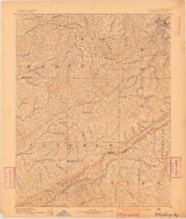
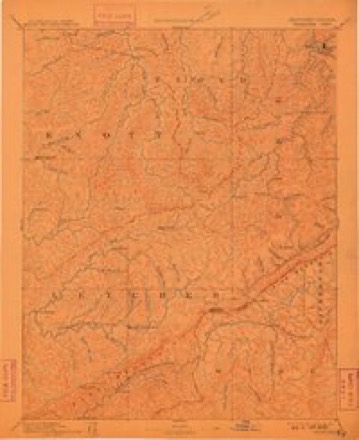
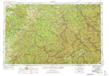
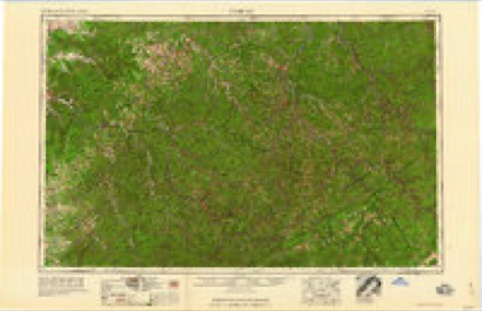
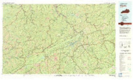
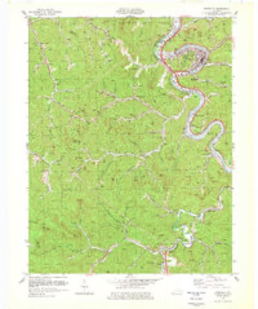
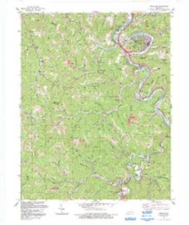
10 surveys from 18 printed sheetsMatched by testing this settlement's coordinate against the published boundary of every sheet in the United States Geological Survey's historical collection. Each opens the scanned sheet at the Survey.
- 1890 USGS Whitesburg quadrangle1:125000
- 1892 USGS Whitesburg quadrangle1:125000, 4 printings
- 1914 USGS Vergie quadrangle1:48000
- 1916 USGS Pikeville quadrangle1:62500, 5 printings
- 1954 USGS Pikeville quadrangle1:24000, 2 printings
- 1957 USGS Jenkins quadrangle1:250000
- 1960 USGS Jenkins quadrangle1:250000
- 1977 USGS Pikeville quadrangle1:100000
- 1978 USGS Pikeville quadrangle1:24000
- 1992 USGS Pikeville quadrangle1:24000



Photographs
8 of 12 photographs shown, 2020Taken for the Office of War Information and the Farm Security Administration, who photographed the country between 1935 and 1944. Works of United States government photographers, with no known restriction on use. Each opens its catalogue record.

Highsmith, Carol M, 2020. Library of Congress

Highsmith, Carol M, 2020. Library of Congress
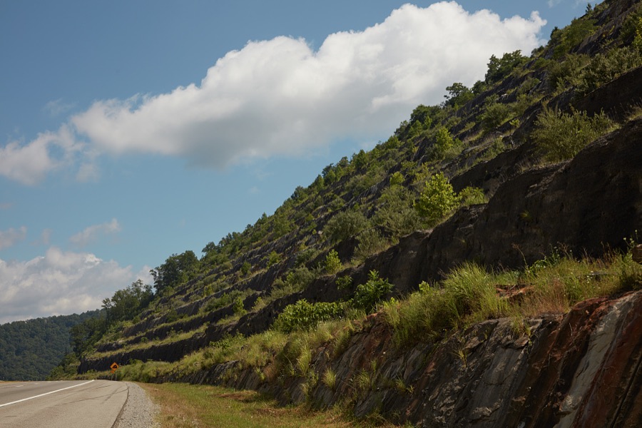
Highsmith, Carol M, 2020. Library of Congress

Highsmith, Carol M, 2020. Library of Congress

Highsmith, Carol M, 2020. Library of Congress
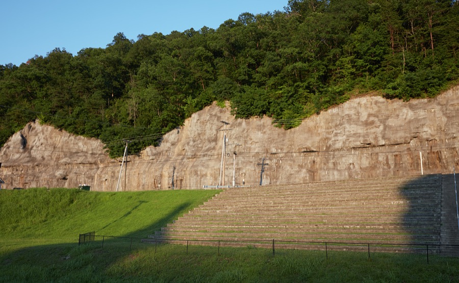
Highsmith, Carol M, 2020. Library of Congress
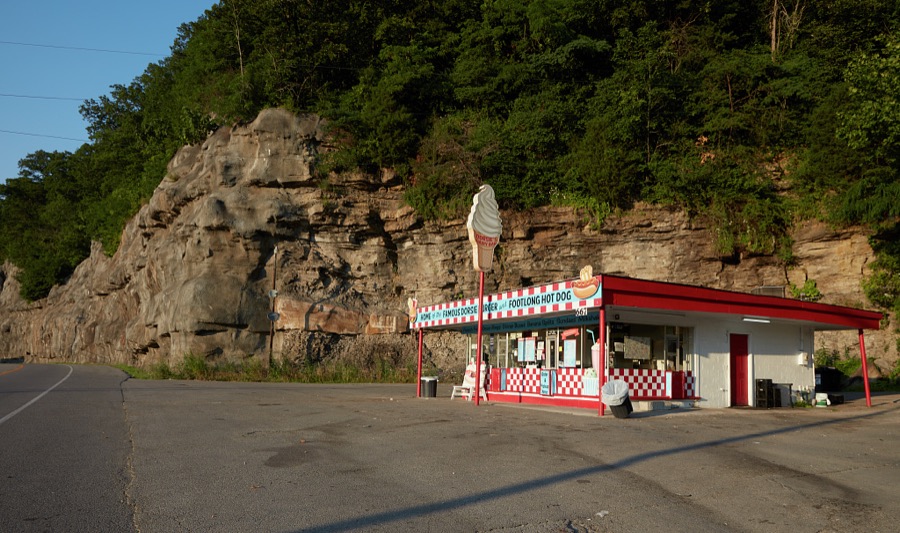
Highsmith, Carol M, 2020. Library of Congress

Highsmith, Carol M, 2020. Library of Congress
Every photograph of Pike County
Fires near this place
231 since 1997Regional context, not property-specific evidence. The federal wildfire occurrence database lists 231 fires within 5 miles of Pikeville between 1997 and 2020, burning about 13,964 acres in total. 1 started naturally. 45 were recorded as arson. Distance is straight-line from the map coordinates, so a fire counted here may appear on a neighbouring settlement's page as well.
| Reported cause | Fires |
|---|---|
| Debris and open burning | 74 |
| Missing data/not specified/undetermined | 73 |
| Arson/incendiarism | 45 |
| Recreation and ceremony | 35 |
| Smoking | 1 |
| Equipment and vehicle use | 1 |
| Natural | 1 |
| Misuse of fire by a minor | 1 |
The most recent of them, most recent first, with the day each was reported and the service that recorded it.
| Date | Cause | Size | Reported by | Name on the report |
|---|---|---|---|---|
| 7 September 2007 | Missing data/not specified/undetermined | 200 acres | Kentucky Division of Forestry | MARION BRANCH |
| 7 September 2007 | Recreation and ceremony | 90 acres | Kentucky Division of Forestry | not named |
| 4 September 2008 | Recreation and ceremony | 25 acres | Kentucky Division of Forestry | not named |
| 30 September 2019 | Missing data/not specified/undetermined | 11 acres | Kentucky Division of Forestry | BILL KING HOLLOW |
| 25 September 2008 | Arson/incendiarism | 1.0 acres | Kentucky Division of Forestry | not named |
| 25 September 2007 | Debris and open burning | 1.0 acres | Kentucky Division of Forestry | not named |
| 24 September 2005 | Missing data/not specified/undetermined | under an acre | Kentucky Division of Forestry | not named |
| 22 September 2010 | Recreation and ceremony | 1.0 acres | Kentucky Division of Forestry | SHELBY YARD |
Settlements close enough to share some of these fires:
Storms near this place
60 of 104 shownRegional context, not property-specific evidence. The National Weather Service names Pikeville in 104 storm reports between 1996 and 2025: 49 thunderstorm wind, 24 hail, 20 flash flood, 5 flood. The reports record 1 death. Each account below is quoted exactly as the forecast office filed it, from the NOAA Storm Events Database, and each date opens the federal record of that event.
| When | Event | Place named | Harm | What the report says |
|---|---|---|---|---|
| July 2010 | Flash Flood | Pikeville | 1 killed | A woman was swept away in flood waters near the intersection of Walters Road and KY Hwy 1460 east of Pikeville. |
| August 1997 | Hail | Pikeville | $250,000 | no account filed |
| February 2019 | Heavy Rain | Pikeville | $75,000 | A local media outlet relayed a report of a substantial rockslide early in the morning of February 22, resulting from continued rainfall over the past few days. Rocks fell onto several cars and also damaged the building of a wrecker service business. This slowed down traffic onto South Mayo Trail. |
| April 2007 | Thunderstorm Wind | Pikeville | $35,000 | Trailer blown over near Pikeville. |
| May 2009 | Thunderstorm Wind | Pikeville | $30,000 | Downed power lines left 2000 people without power across the county. |
| April 2011 | Thunderstorm Wind | Pikeville | $25,000 | Shingles were blown off the roof of a house. Multiple trees were blown down in a nearby neighborhood. |
| April 2009 | Thunderstorm Wind | Pikeville | $25,000 | The roof was blown off a home at Millard. A tree was blown onto a mobile home at Buscurk. Trees and power lines were blown down at Slaters Branch. |
| April 2011 | Thunderstorm Wind | Pikeville | $20,000 | Traffic lights were blown down at the intersection of US Hwy 119 and US Hwy 23. |
| February 2009 | Thunderstorm Wind | Pikeville | $20,000 | Trees were blown down in and around Pikeville. |
| January 1997 | Thunderstorm Wind | Pikeville | $20,000 | no account filed |
| August 2007 | Thunderstorm Wind | Pikeville | $18,000 | Piece of sheet metal lifted and dropped through the roof of a YMCA building. Part of the building was under construction. |
| June 2011 | Thunderstorm Wind | Pikeville | $10,000 | Trees were blown down in the city of Pikeville and a power line was blown down on Hwy 23. |
| May 2002 | Flash Flood | Pikeville | $10,000 | Heavy rains caused numerous creeks and streams to overflow their banks around Pikeville. Several roads were closed and a mobile home sustained water damage. |
| May 1998 | Thunderstorm Wind | Pikeville | $10,000 | Thirty to fifty trees were blown down. |
| April 2009 | Thunderstorm Wind | Pikeville | $7,000 | The Pikeville city police reported several trees down on Town Mountain Road. |
| April 2009 | Thunderstorm Wind | Pikeville | $7,000 | Pikeville city police reported several trees down on Walters Road. |
| April 2011 | Thunderstorm Wind | Pikeville | $6,000 | Trees and power lines were blown down on a residence along the left fork of Island Creek. |
| February 2020 | Heavy Rain | Pikeville | $5,000 | The Kentucky Transportation Cabinet reported a mudslide, due to previous heavy rainfall, on Kentucky Highway 1460 near Pikeville Elementary School. |
| April 2011 | Thunderstorm Wind | Pikeville | $5,000 | Several trees were blown down along Hwy 1426 in Pikeville. |
| May 2011 | Lightning | Pikeville | $5,000 | Lightning hit substation at Kemper and power is out at Coal Run Village and various parts of the county. |
| April 2011 | Hail | Pikeville | $5,000 | Several vehicles at the State Police post were damaged by quarter size hail. |
| June 2009 | Flash Flood | Pikeville | $5,000 | A mobile home was reported to have been shifted off its foundation at the mouth of Ivy Fork along Upper Chloe road. |
| April 2008 | Thunderstorm Wind | Pikeville | $5,000 | Trees were blown down on the bypass. |
| March 2002 | Flash Flood | Pikeville | $5,000 | Heavy rains that fell on March 17 and 18 caused several roads to flood. |
| April 2011 | Thunderstorm Wind | Pikeville | $4,000 | There were trees down blocking the road at Dry Fork of Greasy. |
| June 2008 | Thunderstorm Wind | Pikeville | $3,000 | A powerline was blown onto a mobile home on South River Road at Clevinger Road. |
| August 2007 | Thunderstorm Wind | Pikeville | $3,000 | Two trees down on Kentucky 1426. One tree fell on a vehicle. |
| April 2006 | Thunderstorm Wind | Pikeville | $3,000 | Throughout the city, multiple trees were blown down. Power lines and fencing also blown down. |
| May 1998 | Thunderstorm Wind | Pikeville | $3,000 | Trees were downed. |
| February 2009 | Thunderstorm Wind | Pikeville | $2,000 | A tree was blown down onto a house. |
| June 2004 | Thunderstorm Wind | Pikeville | $2,000 | A utility pole was down in Pikeville, along with numerous trees across the county. |
| April 2011 | Thunderstorm Wind | Pikeville | $1,500 | A tree was blown down onto a gas line, causing it to begin leaking. |
| July 2021 | Flash Flood | Pikeville | $1,000 | A video that showed that flash flooding was occurring near the Pikeville Elementary School in Pikeville was posted to one of NWS Jackson KY's social media feeds. |
| July 2021 | Flash Flood | Pikeville | $1,000 | Flash flooding was reported at a few locations around downtown Pikeville. |
| February 2018 | Flood | Pikeville | $1,000 | Heavy rain caused flooding along Buckfield Branch near Shelby Creek in the vicinity of the Robinson Creek community. |
| February 2018 | Flood | Pikeville | $1,000 | Walters Road off Chloe Creek was impassable due to high water. |
| April 2015 | Flash Flood | Pikeville | $1,000 | Chloe Road was impassable due to flash flooding near Pikeville Elementary School. |
| April 2015 | Flash Flood | Pikeville | $1,000 | A mudslide knocked a double wide home off of its foundation on Gap Branch of Hurricane Creek. |
| August 2013 | Flash Flood | Pikeville | $1,000 | Two feet of water was flowing across Chloe Rd. Parts of US Hwy 23 were also under water. |
| May 2011 | Thunderstorm Wind | Pikeville | $1,000 | A tree was blown down and across Hambley Ave in Pikeville. |
| February 2009 | Thunderstorm Wind | Pikeville | $1,000 | A tree was blown and across KY Route 122 3 miles est of the Pike county Floyd county line. |
| July 2008 | Thunderstorm Wind | Pikeville | $1,000 | A tree was down and blocking State Road 122 at Robinson Creek near Newsome Lane. |
| July 2008 | Thunderstorm Wind | Pikeville | $1,000 | A tree felled by thunderstorm wind gusts was blocking Chloe Road. |
| June 2007 | Thunderstorm Wind | Pikeville | $1,000 | Tree down on Highway 1441. |
| June 2007 | Thunderstorm Wind | Pikeville | $1,000 | Tree down on Highway 194 near Freeburn. |
| April 2006 | Thunderstorm Wind | Pikeville | $1,000 | Twelve inch diameter tree blown down. Shutters blown off a house. |
| August 2005 | Flash Flood | Pikeville | $1,000 | Ambulance building in Pikeville flooded. |
| June 2000 | Flood | Pikeville | $1,000 | Water was reported over the road off US 23 and a Taxi drove into high water and stalled, the driver escaped with no injuries. |
| June 1998 | Thunderstorm Wind | Pikeville | $1,000 | Large sign blown off a store onto Highway 23. |
| May 2025 | Flash Flood | Pikeville | - | Chloe Road was closed near Pikeville Elementary School due to water over the roadway from Lower Chloe Creek. |
| April 2025 | Hail | Pikeville | - | A report was relayed via mPING, stating 1 inch (quarter sized) hail in the Pikeville area. |
| May 2024 | Thunderstorm Wind | Pikeville | - | A tree was reported to have been blown down onto Town Mountain Road, east of Pikeville. |
| March 2021 | Debris Flow | Pikeville | - | An estimated 4.00 inches of rain fell in Pikeville, leading to a mudslide along Chloe Creek near the Pikeville City Elementary School. |
| August 2020 | Flood | Pikeville | - | Local 911 Dispatch reported heavy rains have led to water across Chloe Road in Pikeville. |
| May 2018 | Flood | Pikeville | - | A local media outlet reported several inches of water covering South Bypass Road between the expo center and hospital in Pikeville. |
| May 2017 | Thunderstorm Wind | Pikeville | - | Local law enforcement reported a tree down northwest of Pikeville. |
| May 2016 | Hail | Pikeville | - | A trained spotter and the public observed quarter size hail from Pikeville to Raccoon. |
| June 2016 | Thunderstorm Wind | Pikeville | - | A local media outlet relayed a report of multiple trees down on Inland Creek Road southwest of Pikeville. |
| July 2016 | Thunderstorm Wind | Pikeville | - | Power lines were blown down in the Scott subdivision of Pikeville. The downed lines caused both the north and south bound lanes of US23 to be temporarily closed. |
| July 2015 | Thunderstorm Wind | Pikeville | - | Trees were blown down in Pikeville. |
Nearest settlements
The eight closest, with where each one stands in the county. Distances are straight-line, computed from the Geographic Names Information System coordinates.
| Map | Place | Distance | Sheets |
|---|---|---|---|
| Lower Chloe (historical) | 0.6 miles | 18 | |
| Harrolds Branch (historical) | 0.9 miles | 18 | |
| Pleasant Valley | 1.1 miles | 18 | |
| Titan Siding | 1.2 miles | 18 | |
| Pauley | 1.4 miles | 18 | |
| Keel Addition (historical) | 1.6 miles | 18 | |
| Mayo Village | 1.9 miles | 18 | |
| Kewanee | 2.5 miles | 18 |
Elsewhere
Matched on this settlement's Geographic Names Information System number rather than its name, so it cannot be a different place of the same name in another state.
| Wikipedia article on Pikeville | An encyclopaedic summary. Its text is share-alike, so it is linked here rather than copied. |
| Wikidata item Q2855088 | The structured record the population and elevation above come from. Public domain (CC0). |
Provenance
This settlement is recorded in the Geographic Names Information System as feature 510155. The sheet list is computed by point-in-boundary test against the United States Geological Survey's historical topographic inventory. Both are works of the United States government and carry no copyright under 17 U.S.C. 105.
Wildfire. Short, Karen C. 2022. Spatial wildfire occurrence data for the United States, 1992-2020 [FPA_FOD_20221014]. 6th Edition. Fort Collins, CO: Forest Service Research Data Archive. https://doi.org/10.2737/RDS-2013-0009.6 Collected with United States Government funding and usable without additional permissions or fees.
Storms. NOAA National Centers for Environmental Information, Storm Events Database https://www.ncei.noaa.gov/stormevents/ A work of the United States government, no copyright under 17 U.S.C. 105. Narratives are quoted verbatim from the National Weather Service report and are not edited or summarised.