 Block
From the record
8 National Register listings published here.
Sources: the National Register database, National Park Service
46 topographic sheets and 5 fire insurance atlases across 1 place.
8 National Register listings published here.
Sources: the National Register database, National Park Service
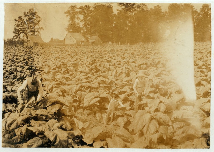
Taken for the Office of War Information and the Farm Security Administration, who photographed the country between 1935 and 1944. Works of United States government photographers, with no known restriction on use. Each opens its catalogue record.


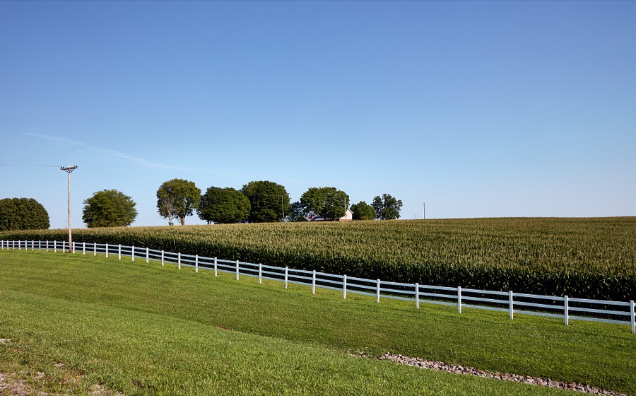
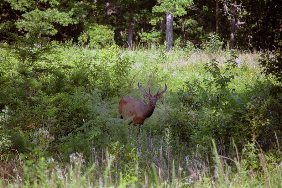

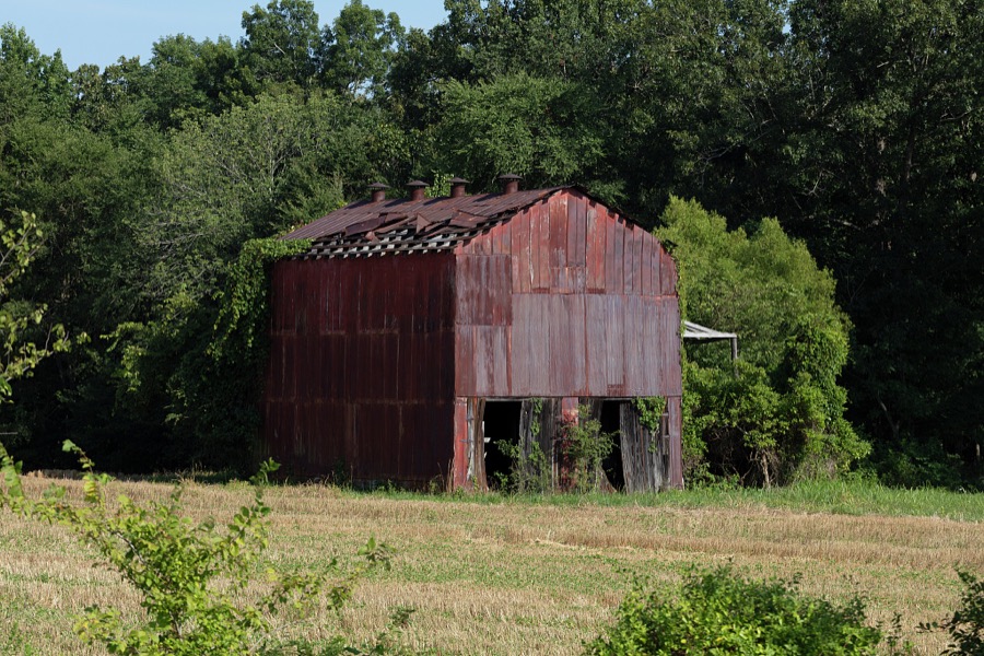

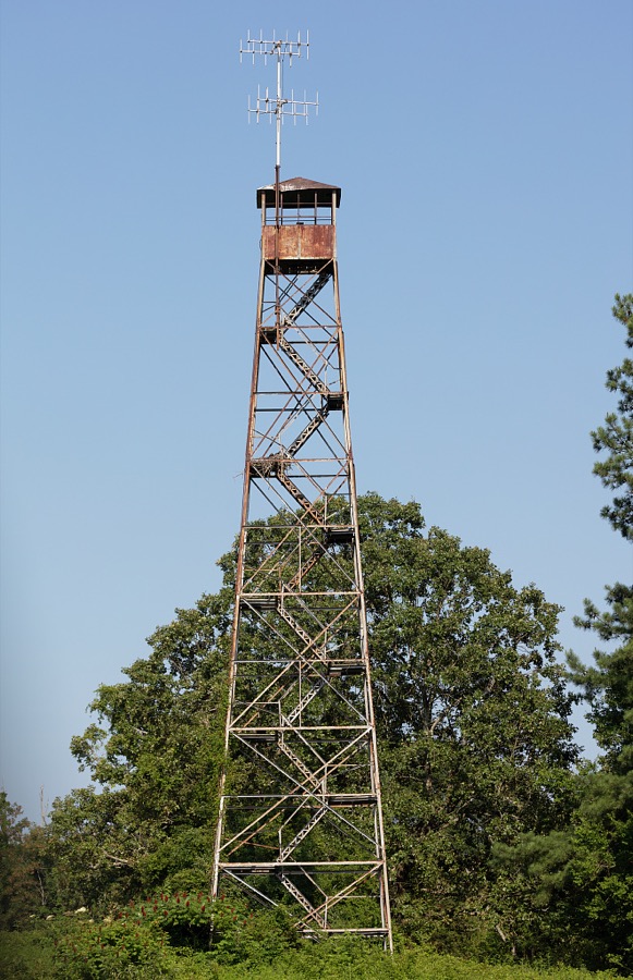



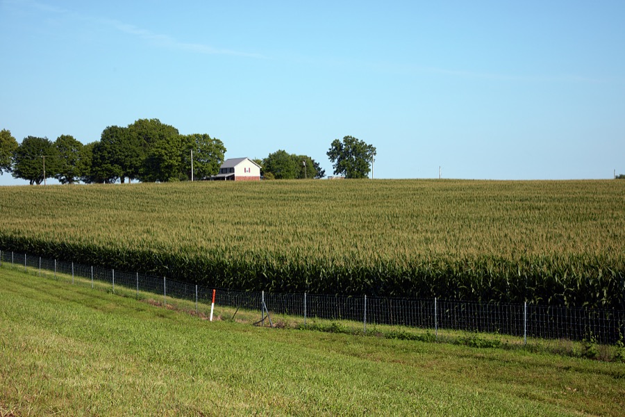
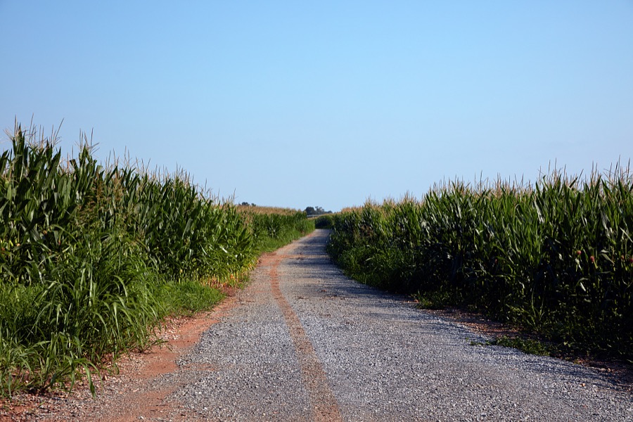

Every property in this county listed on the National Register of Historic Places, with the year it was listed and the federal nomination document.
| Photograph | Property | Type | Listed | Reference |
|---|---|---|---|---|
 | Brick Inn | building | 1980 | 80001672 |
| Cadiz Downtown Historic District | district | 1988 | 88002606 | |
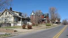 | Cadiz Main Street Residential District | district | 1989 | 89000384 |
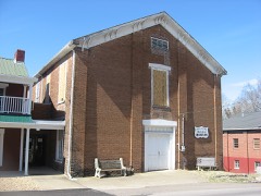 | Cadiz Masonic Lodge No. 121 F. and A.M. | building | 1979 | 79001032 |
| Confederate Monument of Cadiz | object | 1997 | 97000667 | |
| Thomas Dawson House | building | 1980 | 80001671 | |
| John McCaughan House | building | 1987 | 87000212 | |
| George and Nellie White Smith House | building | 2024 | 100009731 |
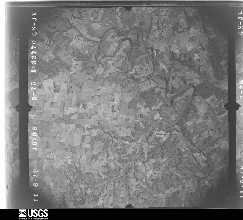
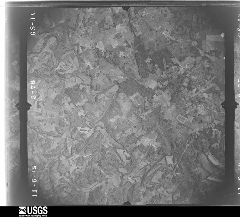
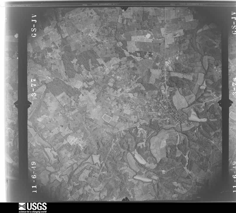
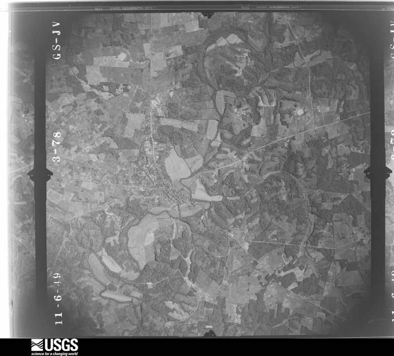
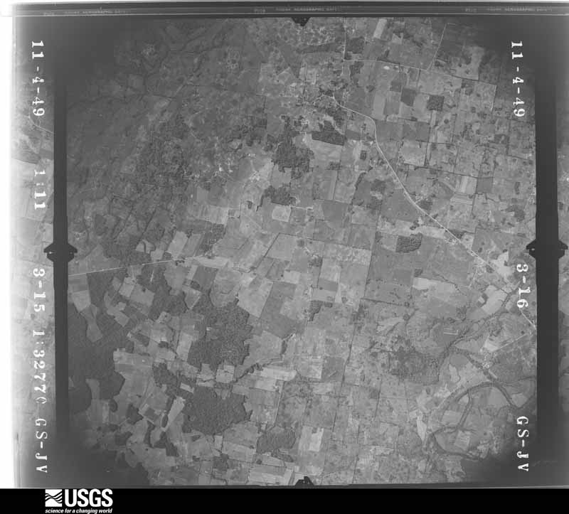
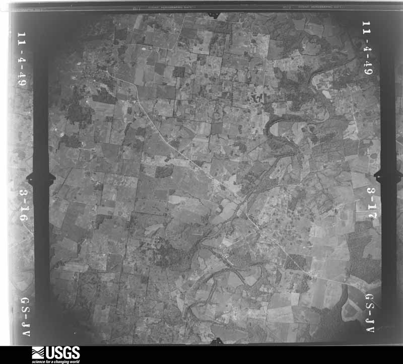
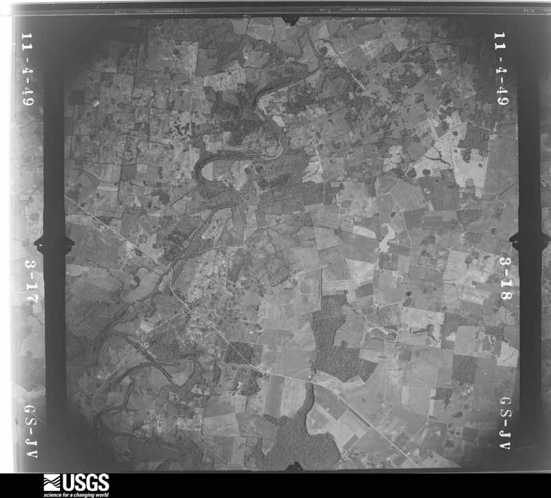
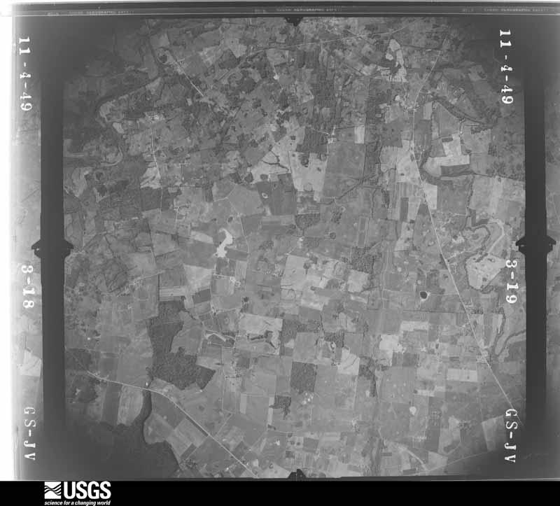
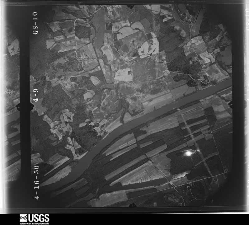
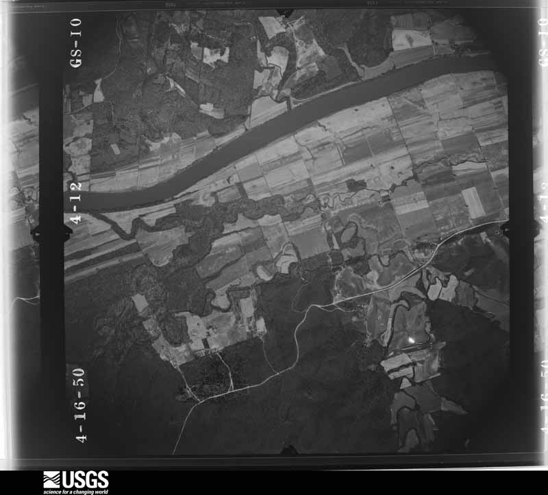
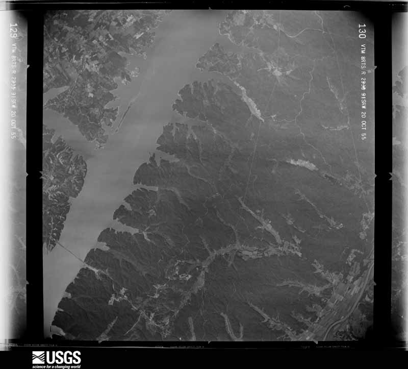
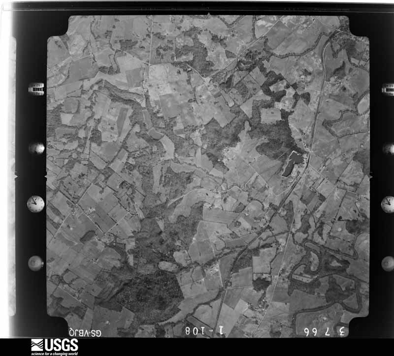
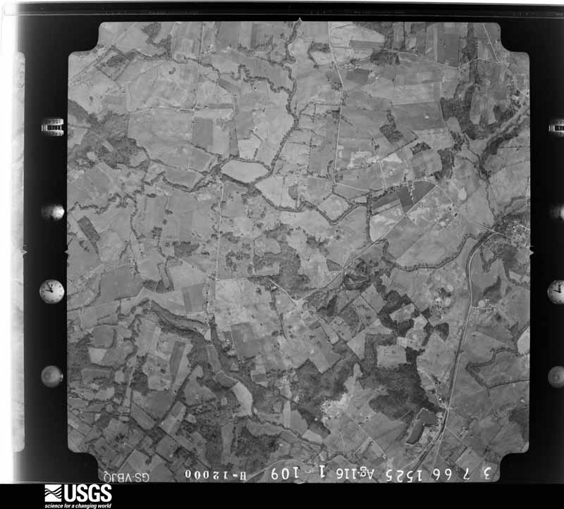
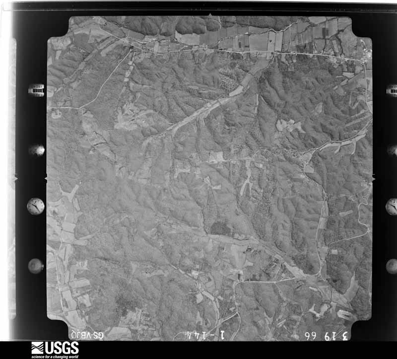
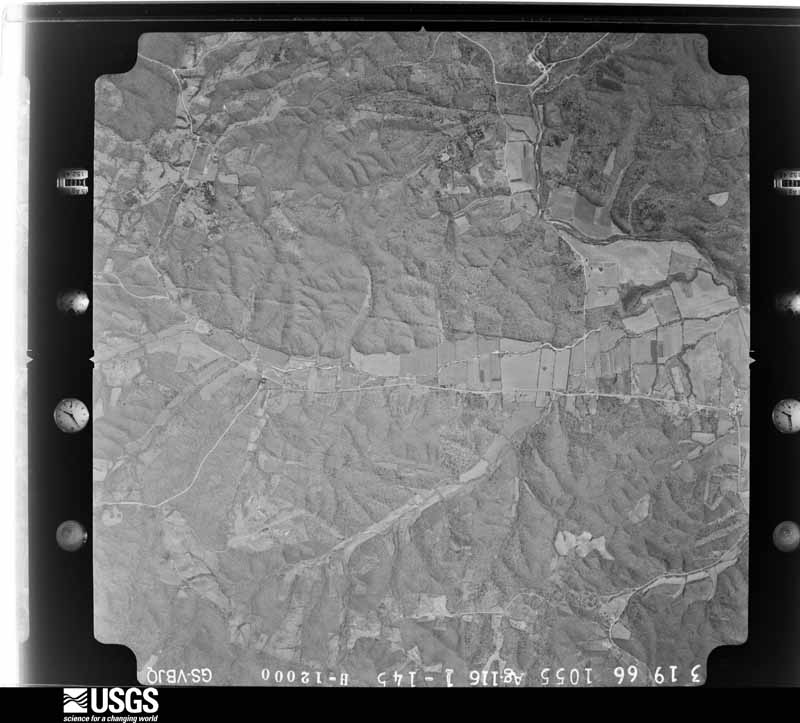
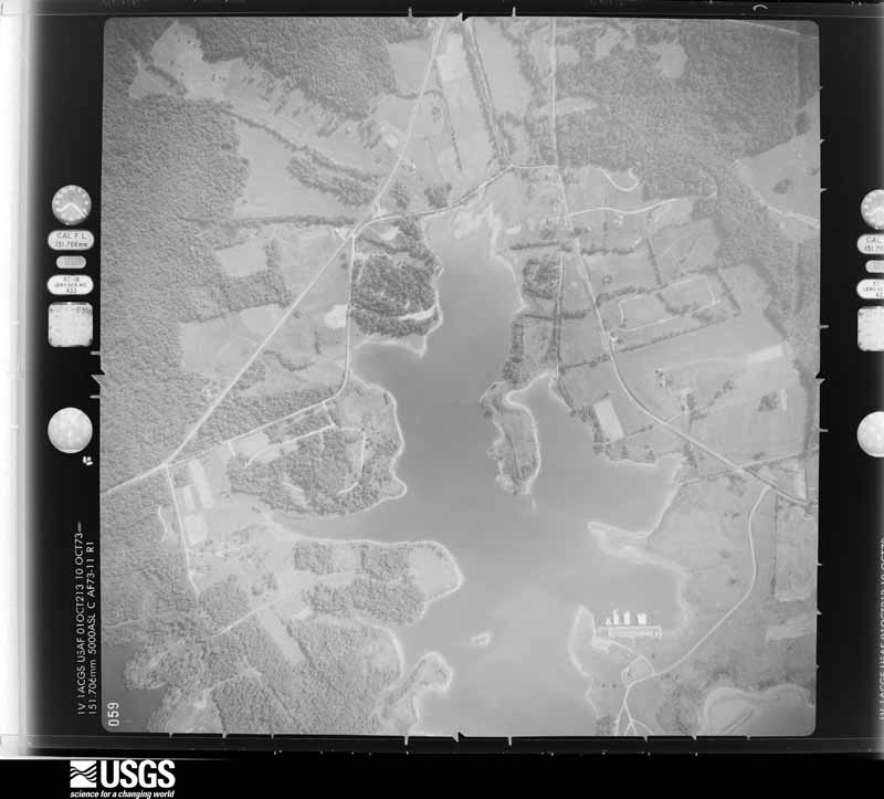
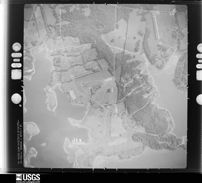
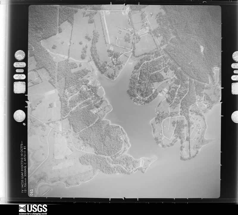
Flown by the U.S. Geological Survey between 1937 and 1989, the Aerial Photo Single Frames collection is the definitive mid-century view of the land: fields, roads and rivers as the camera saw them. The Survey holds 1,896 frames inside the rectangle that bounds this county; the 33 frames below were taken over the county itself, chosen across the decades of flights (at most four a year from that rectangle), so one flight cannot crowd out the rest. The full set is free to browse and download at EarthExplorer under the dataset Aerial Photo Single Frames.










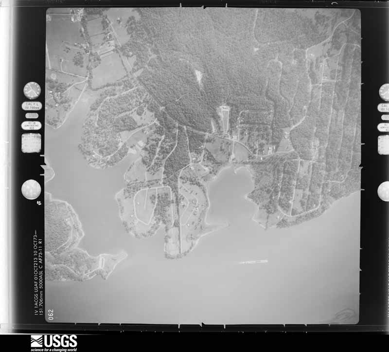
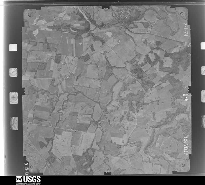

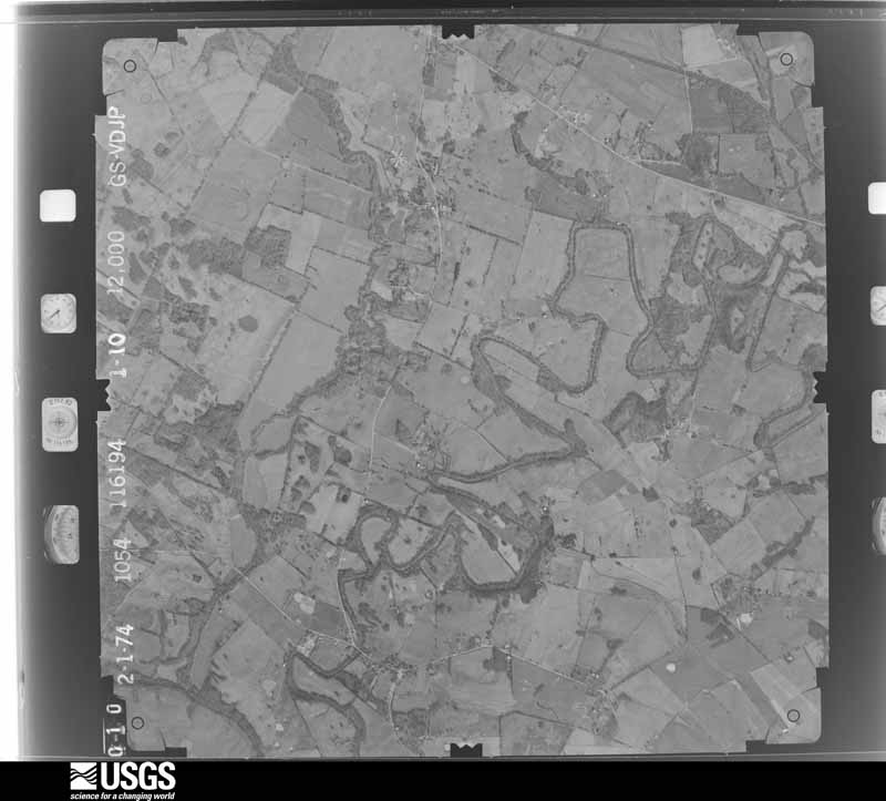
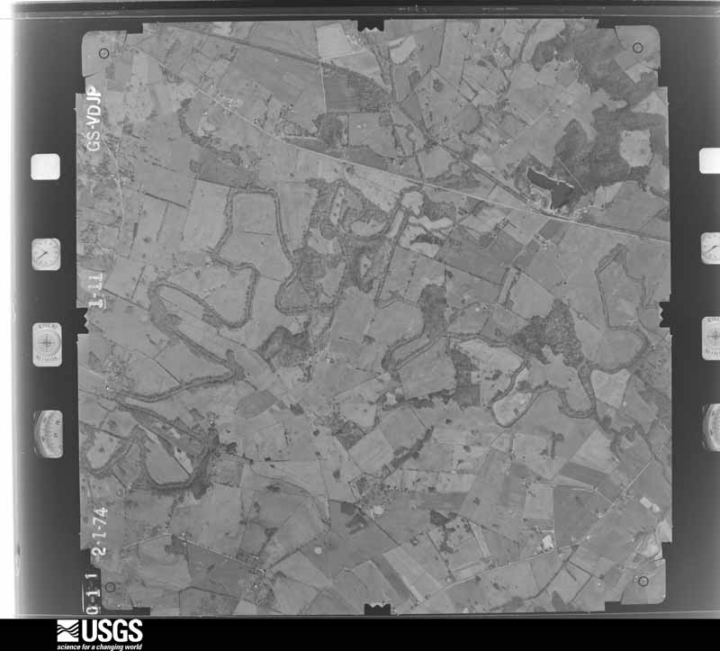
The thermometers that kept this county's weather, and the gages that measured the flow of its streams, as the federal records hold them. The extremes below are measured values from those records, not estimates.
Who lived here in 1950, one enumeration district at a time, as the Census Bureau described each district. Each row opens its official National Archives result, with Population Schedules and ED Maps available there.
Every wildfire the federal occurrence database records inside this county: 100 of them, burning about 2,727 acres. 2 started naturally and 5 were recorded as arson. Each settlement page carries the fires within five miles of it.
| Reported cause | Fires |
|---|---|
| Missing data/not specified/undetermined | 38 |
| Recreation and ceremony | 28 |
| Smoking | 8 |
| Debris and open burning | 7 |
| Equipment and vehicle use | 6 |
| Railroad operations and maintenance | 5 |
| Arson/incendiarism | 5 |
| Natural | 2 |
| Misuse of fire by a minor | 1 |
The five largest, by the area the report gives. None of them was recorded as arson.
| Date | Cause | Size | Reported by | Name on the report |
|---|---|---|---|---|
| 13 April 2006 | Missing data/not specified/undetermined | 1,300 acres | Kentucky Division of Forestry | not named |
| 18 November 2005 | Missing data/not specified/undetermined | 275 acres | Kentucky Division of Forestry | not named |
| 28 March 2004 | Missing data/not specified/undetermined | 271 acres | Kentucky Division of Forestry | SHOOTING RANGE |
| 23 October 2010 | Missing data/not specified/undetermined | 130 acres | Kentucky Division of Forestry | COMPTON RD. |
| 2 March 2017 | Natural | 121 acres | Land Between the Lakes National Recreation Area | FENTON |
| 6 April 2011 | Recreation and ceremony | 81 acres | Land Between the Lakes National Recreation Area | HIGGINS |
| 21 March 2007 | Smoking | 60 acres | Kentucky Division of Forestry | not named |
| 4 March 2009 | Recreation and ceremony | 50 acres | Kentucky Division of Forestry | not named |
Every settlement page carries the fires within five miles of it - see the settlement index below.
The NOAA Storm Events Database holds 300 reports for this county, causing no deaths, no injuries and about $9,358,200 in recorded property damage. Each settlement page carries the reports that name it.
| Kind of event | Reports |
|---|---|
| Thunderstorm Wind | 149 |
| Hail | 60 |
| Tornado | 26 |
| Flash Flood | 26 |
| Flood | 18 |
| Heavy Rain | 13 |
| Funnel Cloud | 6 |
| Lightning | 2 |
The most serious of them, by death, then injury, then recorded damage. The accounts are quoted exactly as the forecast office filed them.
| When | Event | Place named | Harm | What the report says |
|---|---|---|---|---|
| May 1978 | Tornado (F2) | not stated | $2,500,000 | no account filed |
| May 1978 | Tornado (F3) | not stated | $2,500,000 | no account filed |
| February 2017 | Tornado (EF1) | Donaldson | $300,000 | The tornado formed a few miles east of Lake Barkley, then tracked northeast. The tornado lifted well southeast of Cadiz. Hundreds of trees were snapped or uprooted, and one grain bin was destroyed. There was major structural damage to numerous barns. Many homes received minor to moderate siding or roof damage. Peak winds were estimated near 105 mph. |
| May 2011 | Thunderstorm Wind | Cadiz | $300,000 | A microburst with estimated winds up to 100 mph struck the south and east sides of Cadiz. The average path width of the microburst was 3/4 mile, and the path length was a mile and three-quarters. Thirty homes sustained light to moderate damage, mainly due to fallen trees. One home was destroyed by a large fallen tree. One business was heavily damaged, with the end of a storage building destroyed. Several other structures received damage, primarily to roofs. Sheet metal and attached framing smashed three delivery trucks. Signs were in the road on U.S. Highway 68 east of Cadiz. |
| May 1995 | Tornado (F2) | Cadiz to | $250,000 | Six houses were damaged, one extensively. Vehicles were moved, including a camper trailer picked up and tossed across a road. A mobile home was blown over 300 feet. Numerous trees were downed, and two barns were destroyed. The tornado moved into Christian County. |
| May 2025 | Thunderstorm Wind | Maple Grove | $200,000 | Significant wind damage also occurred north of the surging reflectivity nub. A tree went through the roof of a mobile home on Old Dover Rd, south of Pleasant Hill Church Rd. Further south on Old Dover Rd, a tree damaged the roof of a home south of Douglas Thomas Rd. A tree fell through the roof of a home on Nelums Rd. Minor damage to a roof occurred on Casey Creek Dr, while on Tuggle Rd a skylight and skirting of a manufactured home were compromised. |
| April 2011 | Thunderstorm Wind | Cadiz | $200,000 | Numerous trees and power lines were blown down. About 1,500 utility customers lost power. A number of houses and public buildings were damaged. Emergency declarations were signed by the city of Cadiz and Trigg County. |
| June 2019 | Tornado (EF1) | Cadiz | $150,000 | Minor roof damage occurred to at least eight homes, primarily from falling trees. One home had a broken window. One barn was levelled. Several power lines were downed, mainly from falling trees. At least 200 trees were uprooted, snapped, or had broken limbs. The tornado traveled mainly along and north of Kings Chapel Road initially, then traveled along Cool Spring Cave Road before crossing South Montgomery Road, north of Caledonia. Peak winds were estimated near 95 mph. |
| July 2016 | Flash Flood | Cadiz | $150,000 | Water entered a home in Cadiz, along with another home on Highway 276 in northern Trigg County. Several Cadiz city streets were closed due to flooding. A few roads outside the city limits were flooded. At least one road was completely washed out in Cadiz. There was at least one bridge washout in the county. City crews rescued one person, and a few others were rescued outside the city. The Little River came out of its banks in Cadiz, flooding a parking lot and a few roads. A trained spotter near Cadiz measured 3.16 inches of rain in two hours. A state of emergency was declared for Trigg County. |
| October 2007 | Tornado (EF1) | Canton | $150,000 | Many large trees were downed. A boat dock was damaged by a falling tree. Part of a garage was damaged by a large tree limb. Part of a roof was blown off a house. The northeast corner of a tin roof garage was peeled back. One home sustained tree damage. Two cabins in Lake Barkley State Resort Park sustained roof damage. The state park was closed for most of the following day, mostly due to trees and power lines blocking access to the park. Peak winds were estimated up to 100 mph. The tornado occurred near the east shore of Lake Barkley. |
| October 2007 | Tornado (EF2) | Linton | $120,000 | Numerous trees were uprooted and blown down. Metal debris was embedded in several trees. Two barns were destroyed. One large garage was destroyed. Debris from the garage was blown up to three quarters of a mile, and projectiles were embedded in the ground up to 200 yards away. Four power poles were snapped. Peak winds were estimated near 120 mph. |
| October 2014 | Thunderstorm Wind | Cadiz | $100,000 | A private boat dock was heavily damaged. A boat was overturned. Between 30 and 40 trees were blown down across roads in the area. |
| March 2012 | Hail | Cadiz | $100,000 | Golf ball size hail was reported in Cadiz along Princeton Road and Stone Road causing damage to roofs of homes. |
| April 2011 | Thunderstorm Wind | Golden Pond | $100,000 | At Wrangler's Campground within the Land Between The Lakes National Recreation Area, an apparent microburst downed 40 acres of hardwood trees. Trees fell on three cabins, one historic barn, one horse barn, and one vehicle. One hundred miles of trails were closed. Power lines were down. |
| May 1995 | Hail | Cadiz | $100,000 | Baseball-size hail damaged cars, windows, and siding. Extensive damage was done to a greenhouse. |
| May 2025 | Thunderstorm Wind | Cadiz | $80,000 | A large tree was blown down, going all the way through a house as a line of thunderstorms moved through Cadiz. |
| January 2020 | Tornado (EF1) | Fenton | $80,000 | The tornado occurred in heavily wooded terrain on federally protected land. The tornado touched down in the Redd Hollow area (west of the Trace Highway) in the Land Between The Lakes National Recreation Area. Damage continued east to just south of the Wranglers Campground. The tornado could have crossed into Lake Barkley and Donaldson Creek, but no evidence was found further east. The heaviest area of damage was south of Wranglers Campground, where many dozens of trees were snapped and uprooted. Just south of the track, a microburst occurred where many trees were snapped and uprooted. Peak winds in this tornado were estimated near 105 mph. |
| May 2016 | Hail | Cerulean | $80,000 | Hail up to the size of tennis balls fell for about seven minutes. This supercell thunderstorm also spawned a weak tornado in the Cerulean area. |
| February 2018 | Flood | Cadiz | $75,000 | Water was over a few low-lying secondary roads near the Little River, mainly along a fork that runs north of Cadiz. |
| January 2008 | Thunderstorm Wind | Linton | $75,000 | At least two barns were destroyed. At the county recreation complex, roofs were blown off the maintenance shed and two dugouts. Power poles were blown over. Trees were down across roadways all over the county, but more commonly from Linton to around Donaldson Creek. |
| May 2021 | Thunderstorm Wind | Canton | $70,000 | A swath of sporadic wind damage extended along U.S. Highway 68 from the Lake Barkley bridge east to Highway 1062. A roof was severely damaged. At least several trees were down. A large open-sided machine shed collapsed. A granite monument in a cemetery was knocked over. |
| March 1997 | Flash Flood | Cadiz | $70,000 | no account filed |
| June 2012 | Thunderstorm Wind | Energy | $60,000 | Numerous trees were blown down in the Land Between The Lakes National Recreation Area. The strongest winds struck Sugar Bay on Kentucky Lake, and then swept east across Energy Lake campground. Numerous trees, limbs, and power lines were blown down in Energy Lake campground. Trees were down in Sugar Bay campground. |
| February 2008 | Tornado (EF1) | Maple Grove | $60,000 | Peak winds were estimated near 105 mph. The average path width was 120 yards. The roof was partially blown off of one home, shingle and minor damage occurred to other homes, trees were uprooted and snapped, and a barn was shifted slightly off its foundation. |
| December 2018 | Tornado (EF1) | Rockcastle | $55,000 | A brief EF-1 tornado touched down just offshore in Lake Barkley near Blue Water Estates. The tornado tracked eastward through part of the subdivision, damaging at least six homes. The damage was minor, consisting mostly of loss of shingles and vinyl siding. There were some broken windows and screens blown in. Three garage doors were blown inward, and one garage lost shingles. A couple of dozen trees were snapped or uprooted. There were two separate eyewitness reports of a tornado. Peak winds were estimated near 90 mph. |
| May 2024 | Flash Flood | Caledonia | $50,000 | Heavy rainfall in the afternoon flooded out stretches of Will Jackson Rd. Additional heavy rainfall in the evening significantly expanded flooding issues in southern portions of Trigg County. Flash flooding continued well into the overnight hours, eventually transitioning from flash flood to flood. Storm total precipitation was 3 to 8 inches, with the heaviest totals along the Tennessee border and in a band across the middle of the county. |
| January 2020 | Tornado (EF0) | Canton | $50,000 | The tornado touched down just east of Blue Spring and tracked eastward just north of Blue Spring Road. It continued east northeast to just southwest of Cadiz. Several trees up to 3.5 feet in diameter were snapped and/or uprooted. There were several homes with minor roof damage and one that had moderate roof damage. One metal building had its garage door blown in. A large branch fell on a vehicle at one residence. A carport was shifted off its supports. Peak winds in this tornado were estimated near 85 mph. |
| March 2017 | Tornado (EF0) | Cadiz Broadbent Arpt | $50,000 | Peak winds were estimated near 80 mph. The tornado was witnessed by two people. Four barns were damaged, and one small barn was leveled. A house porch roof was blown off. Branches were broken off numerous trees. The damage path began along Highway 128 southwest of Cerulean, then crossed Highway 126 about 1.5 miles south of Cerulean. The tornado continued into Christian County for just a few more tenths of a mile. |
| May 2024 | Thunderstorm Wind | Cadiz | $45,000 | A morning thunderstorm line swept through Cadiz. Emergency management reported that the storm took out power and generator at the county hospital in Cadiz. Multiple trees were downed onto power lines near the hospital. A spotter reported that lots of trees were downed, many on roads such as Oliver Rd and N. Montgomery Rd. |
| February 2017 | Hail | Rockcastle | $40,000 | Quarter to golf-ball size hail accompanied a tornadic supercell west and northwest of Cadiz in the Lake Barkley area. Golf-ball size hail was reported and photographed near Lake Barkley off of Highway 274, close to the location of a weak tornado. The hailstorm was associated with a storm that acquired supercell characteristics for an hour or so. The storm moved southeast across the Cadiz area. |
| May 2011 | Thunderstorm Wind | Laurel Furnace | $40,000 | In the Land Between The Lakes National Recreation Area, trees were blown down near Wrangler's Campground. At Linton, part of the roof was blown off a church. Numerous trees were blown down. |
| July 2016 | Thunderstorm Wind | Rockcastle | $35,000 | Trees were down across northern parts of the county, especially in the Rockcastle area. Trees and power lines were down across the city of Cadiz. A trained spotter estimated winds gusted to 60 mph between Cadiz and Rockcastle. |
| August 2009 | Thunderstorm Wind | Rockcastle | $35,000 | A wind gust to 70 mph was measured on the Trigg/Christian County line along Highway 272. Numerous tree limbs and power lines were blown down countywide, along with an occasional tree. One road was blocked by a downed tree. A few other roads were partially blocked. In Cadiz, most of the damage occurred on the south side of town in the form of downed trees and limbs. |
| May 2025 | Thunderstorm Wind | Canton | $30,000 | A tree fell through the roof into a house causing water to intrude. |
| May 2024 | Thunderstorm Wind | Cerulean | $30,000 | Emergency management reported trees down and pea size hail in Cerulean, KY. Media relayed a report of a hay barn destroyed in Cerulean. |
| June 2015 | Thunderstorm Wind | Rockcastle | $30,000 | Trees were blown down on power lines, knocking out power to an estimated 100 homes. |
| March 2012 | Thunderstorm Wind | Montgomery | $30,000 | Thunderstorm winds caused damage to a barn, silo and outbuilding, in addition to bringing down several power lines on Highway 276. |
| April 2011 | Tornado (EF1) | Cadiz | $30,000 | Approximately a dozen trees were uprooted or snapped. Several tree limbs were blown down. Two homes on the outskirts of north Cadiz received shingle damage. Peak winds were estimated near 90 mph. The average path width was 100 yards. |
| September 2006 | Flood | Countywide | $30,000 | Flooding of the Little River and its tributaries prompted the closure of several roads and bridges. A couple of streets were closed in Cadiz, while most of the other closures were east and southeast of the city. Rainfall amounts over the three-day period were 7.48 inches in Canton and 8.34 inches in Cadiz. |
| May 1995 | Hail | Murray | $30,000 | Baseball-size hail damaged cars, windows, and siding. Extensive damage was done to a greenhouse. |
| May 2011 | Flood | Buffalo | $30,000 | no account filed |
| October 2021 | Thunderstorm Wind | Cadiz | $25,000 | A tree fell on a power line and brought down three poles on the outskirts of Cadiz. |
| February 2019 | Flash Flood | Cadiz | $25,000 | Water was over Highway 1175. Several other state and county roads were closed, including a road that crosses the Little River. One roadway was partially washed out. A trained spotter in Rockcastle measured a 48-hour total of 4.20 inches. |
| June 2019 | Tornado (EF1) | Rockcastle | $25,000 | The tornado continued into Trigg County from Lyon County. Although the Trigg County portion of the track was only about one-half mile, it tracked southeast across Hematite Lake. This is a popular nature-viewing area in the Land Between The Lakes National Recreation Area. The entire track was through heavily wooded areas. Hundreds of trees, some very large, were snapped or uprooted. Peak winds were estimated near 100 mph. |
| February 2017 | Tornado (EF0) | Trigg Furnace | $25,000 | This weak tornado touched down along Highway 274 and lifted four miles northwest of Cadiz. The tornado occurred in a hilly scenic area adjacent to Lake Barkley. At least a dozen trees were uprooted or broken. Some of the trees landed on Highway 274. One power line was partially downed by a fallen tree. Several pieces of metal roofing from a barn were lofted into nearby woods. Peak winds were estimated near 80 mph. The tornado was witnessed by a trained spotter. |
| May 2025 | Thunderstorm Wind | Rockcastle | $20,000 | Approximately 10 trees were uprooted near the Trigg/Lyon County line. A home on High Point Dr had trees go into the roof and side of the building. This damage occurred from a supercell storm which had produced a tornado to the west-northwest on KY-274. |
| June 2019 | Thunderstorm Wind | Energy | $20,000 | Numerous trees were damaged in the Energy Lake area of the Land Between The Lakes National Recreation Area. |
| June 2019 | Thunderstorm Wind | Rockcastle | $20,000 | Trees were down around Trigg County. In Cadiz, a power line and tree limbs were down. |
| June 2018 | Lightning | Cadiz | $20,000 | Two houses were struck by lightning and on fire. |
| May 2016 | Tornado (EF0) | Buffalo | $20,000 | This tornado destroyed an older wooden barn along Highway 126 just north of Highway 128. A newer wooden barn was heavily damaged near the end of the damage path. Since the path was across open fields, there was little other evidence of damage. The tornado was witnessed by several people, including a state trooper and a trained spotter. The tornado lifted less than a mile from the Christian County line. Peak winds were estimated near 80 mph. |
| October 2013 | Thunderstorm Wind | Cadiz | $20,000 | Numerous trees were blown down. |
| July 2012 | Thunderstorm Wind | Cadiz | $20,000 | Two 40-inch trees were snapped off at the ground. A wood garage was levelled. Several awnings and carports were damaged. |
| April 2011 | Thunderstorm Wind | Cadiz | $20,000 | A wind gust to 68 mph was measured at a local radio station. A gust to 65 mph was measured on the west side of Cadiz. Trees were blown down. |
| May 2010 | Thunderstorm Wind | Linton | $20,000 | Widespread tree damage occurred in the southeast portion of the county, mainly between the community of Linton and Interstate 24. Many trees were down along the Lake Barkley shore at Linton. |
| August 2010 | Thunderstorm Wind | Canton | $20,000 | A boat dock on Lake Barkley was twisted and blown onto shore. A pontoon boat that had been docked there ended up next to a neighbor's dock. Numerous tree limbs were blown down. |
| August 2010 | Thunderstorm Wind | Laurel Furnace | $20,000 | Tree limbs were blown down, damaging a vehicle. Small trees were down, and larger trees were damaged. The wind damage occurred in the Land Between The Lakes National Recreation Area near the Tennessee state line. |
| October 2009 | Thunderstorm Wind | Cadiz | $20,000 | Outbuildings and trees on a farm were damaged. |
| May 2001 | Thunderstorm Wind | Cadiz | $20,000 | About 15 trees were blown down, mainly across northern parts of the county. Near Cadiz, two structures which were under construction were blown down, including a house and a church. |
| May 1996 | Thunderstorm Wind | Rockcastle | $20,000 | no account filed |
| June 2018 | Thunderstorm Wind | Cadiz | $15,000 | Multiple trees were down on the north side of Cadiz, along with power lines. Widespread power outages were reported in the county. |
The Survey's mineral resources record lists 2 workings inside this county. 1 still produces and 1 is closed or unrecorded. Each settlement page carries the workings within five miles of it.
| Commodity | Workings |
|---|---|
| Stone, Crushed/Broken | 1 |
| Clay | 1 |
The least common of them first, because a county's hundredth gravel pit says nothing its first ten did not.
| Where | Site | Commodity | Status | Recorded |
|---|---|---|---|---|
| Canton Quarry | Stone, Crushed/Broken | Producer | ||
| Cheatham Hollow Clay | Clay | Prospect |
Named settlements recorded in the Geographic Names Information System, each with the topographic sheets covering it. Villages, hamlets and abandoned places alike. Each is shown with the nearest named watercourse or landform and the survey quadrangle it falls on. The 1 place that was also surveyed for fire insurance comes first, with the number of atlases and photographs held for them.
Cadiz census division · 42211 · On Caney Creek · Cadiz quadrangle
7 sheets, 1953 to 1980
Fire insurance: 5 atlases
Canton census division · 42211 · On Terrapin Branch · Canton quadrangle
7 sheets, 1953 to 1980
Canton census division · 42211 · On Blue Spring Creek · Canton quadrangle
7 sheets, 1953 to 1980
Canton census division · 42211 · On Blue Spring Creek · Canton quadrangle
7 sheets, 1953 to 1980
Cerulean census division · 42211 · Near Goose Hollow · Lamasco quadrangle
8 sheets, 1953 to 1980
Cerulean census division · 42232 · On Buffalo Knob · Gracey quadrangle
6 sheets, 1953 to 1980
Cadiz census division · 42232 · On Boyd Lake Branch · Caledonia quadrangle
8 sheets, 1950 to 1980
Canton census division · 42211 · On Kelly Branch · Canton quadrangle
7 sheets, 1953 to 1980
Cerulean census division · 42215 · On Horse Creek · Gracey quadrangle
6 sheets, 1953 to 1980
Canton census division · 42211 · On Donaldson Creek · Canton quadrangle
7 sheets, 1953 to 1980
Canton census division · 42211 · On Craig Branch · Canton quadrangle
7 sheets, 1953 to 1980
Land Between the Lakes census division · On Barnett Creek · Fenton quadrangle
13 sheets, 1936 to 1986
Land Between the Lakes census division · On Little Creek · Fenton quadrangle
13 sheets, 1936 to 1986
Land Between the Lakes census division · Near Oakley Hollow · Fenton quadrangle
13 sheets, 1936 to 1986
Canton census division · 42211 · On Little Hurricane Creek · Linton quadrangle
9 sheets, 1951 to 1980
Cerulean census division · 42211 · Near Goose Hollow · Lamasco quadrangle
8 sheets, 1953 to 1980
Cerulean census division · 42211 · Near Goose Hollow · Lamasco quadrangle
8 sheets, 1953 to 1980
Canton census division · 42211 · Near Mineral Hill · Canton quadrangle
7 sheets, 1953 to 1980
7 topographic sheets and 5 fire insurance atlases, 1902 to 1938