 Block
From the record
7 National Register listings published here.
Sources: the National Register database, National Park Service
80 topographic sheets and 20 fire insurance atlases across 3 places.
7 National Register listings published here.
Sources: the National Register database, National Park Service
Every property in this county listed on the National Register of Historic Places, with the year it was listed and the federal nomination document.
| Photograph | Property | Type | Listed | Reference |
|---|---|---|---|---|
 | Camp Breckinridge Non-Commissioned Officers' Club | building | 2001 | 01000804 |
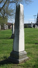 | Confederate Monument of Morganfield | object | 1997 | 97000666 |
 | Daniel H. Hughes House | building | 1980 | 80001673 |
 | Morganfield Commercial District | district | 1984 | 84002063 |
 | George N. Proctor House | building | 1990 | 90001488 |
| Saline Island | site | 1998 | 98001291 | |
 | Union County Courthouse | building | 1978 | 78001401 |
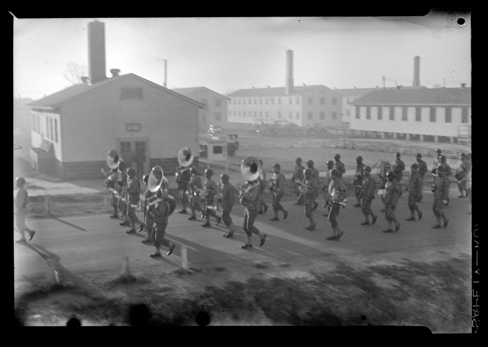
Selected from the Digital Public Library of America's 1 image records catalogued for this county. Every one shown here carries a public-domain status or a licence that permits reuse on a site that carries advertising; non-commercial, share-alike and restricted images are excluded. The selection is spread across the county's towns (at most eight per town), so no single institution's bulk upload crowds out the rest. Each opens the holding library's record, and the complete set at the Digital Public Library of America is one click away.
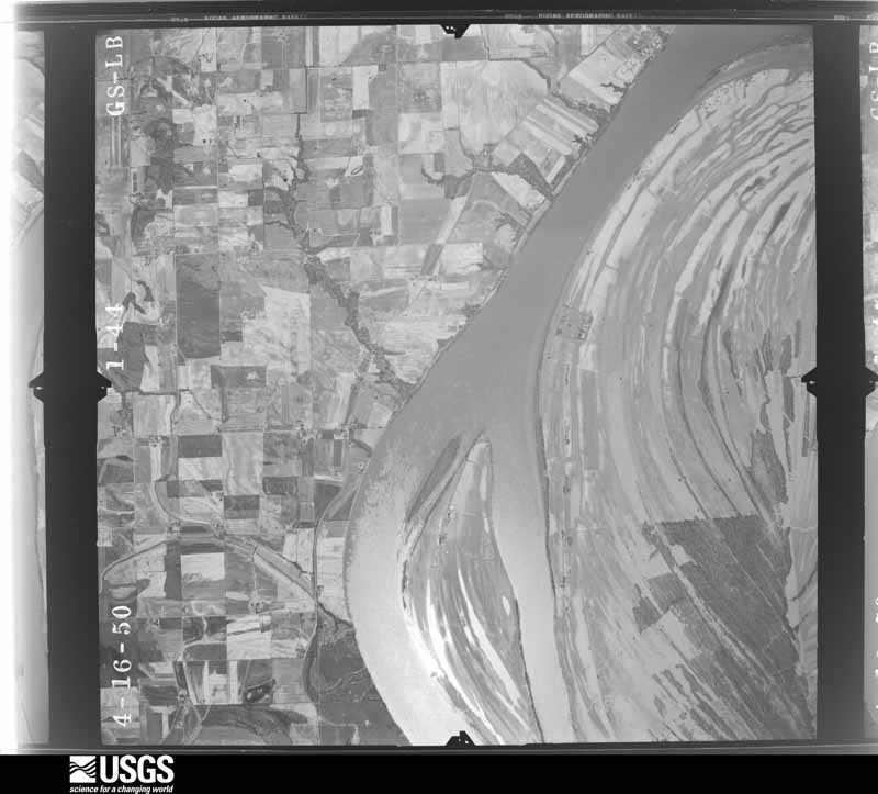
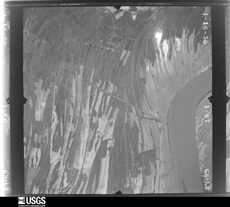
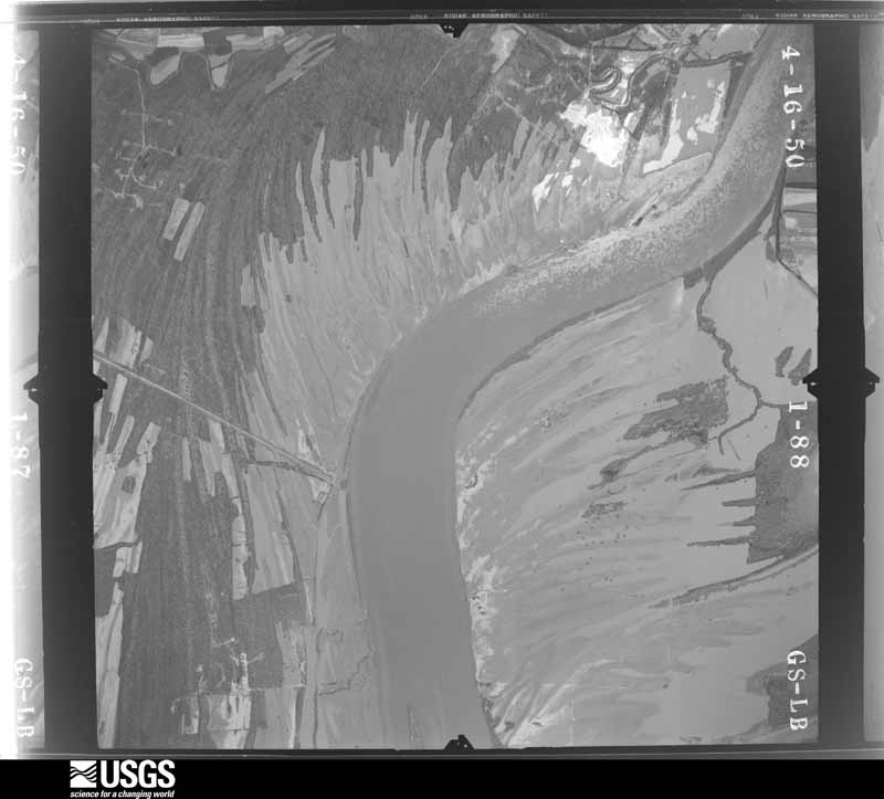
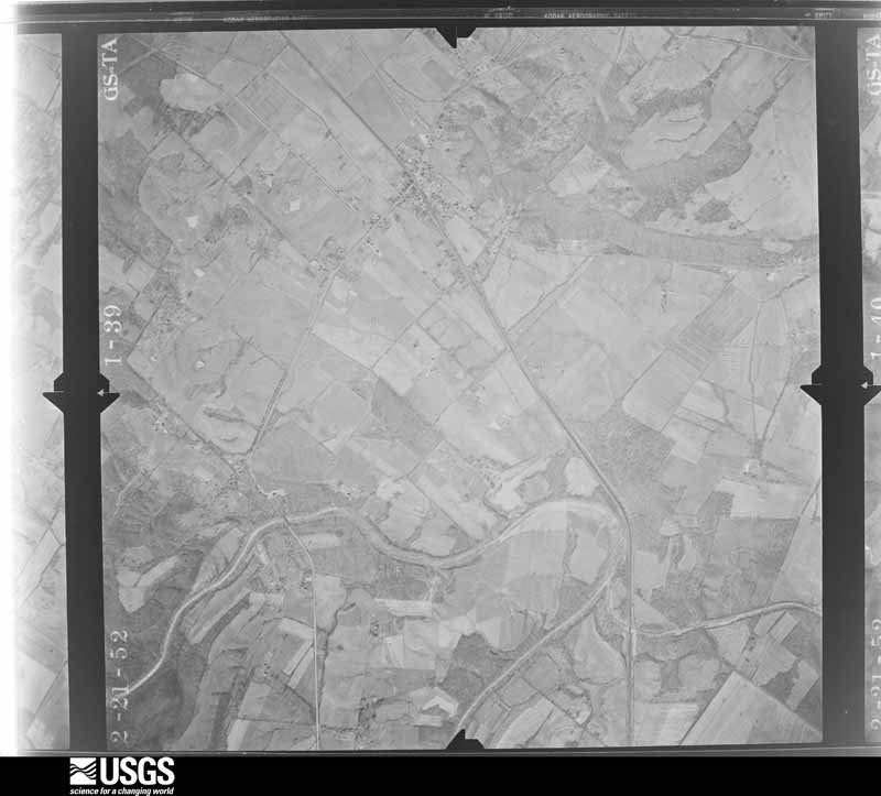
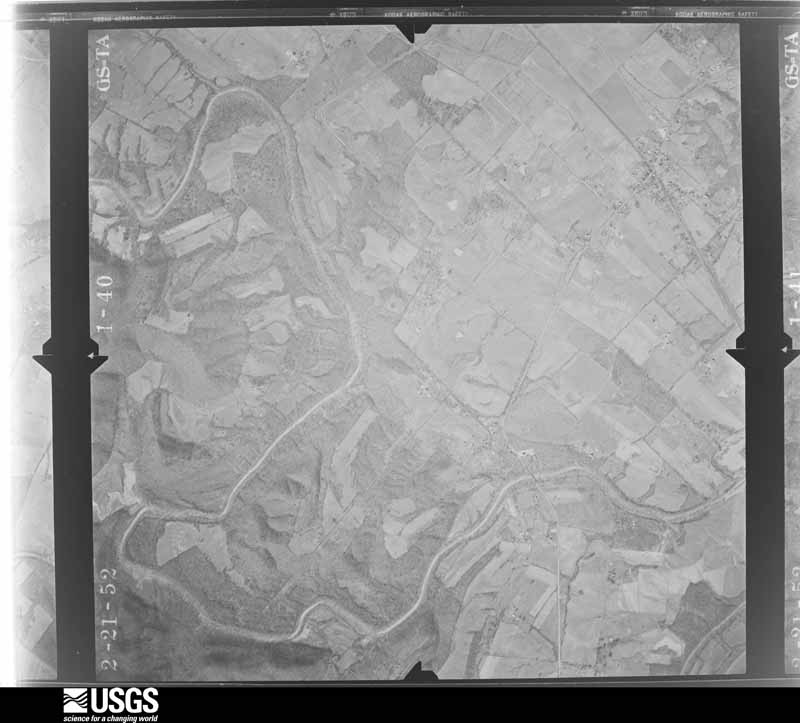
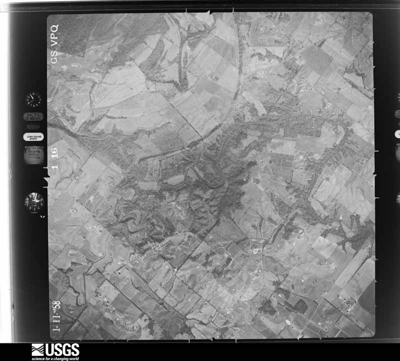
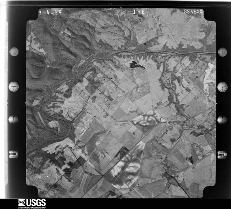
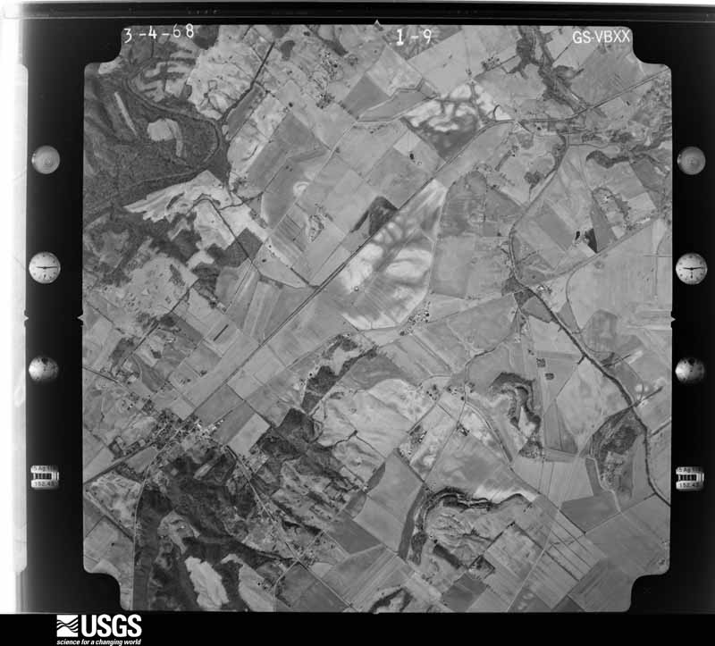
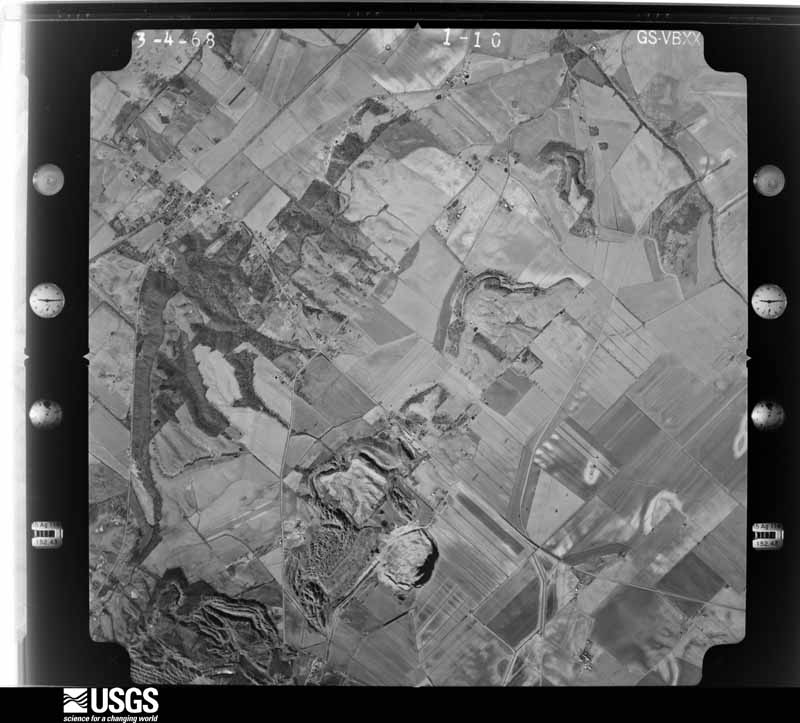
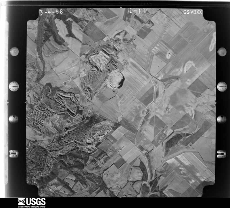
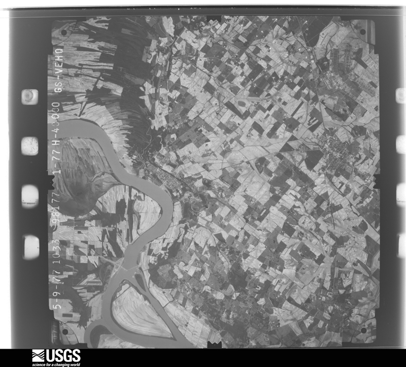
Flown by the U.S. Geological Survey between 1937 and 1989, the Aerial Photo Single Frames collection is the definitive mid-century view of the land: fields, roads and rivers as the camera saw them. The Survey holds 781 frames inside the rectangle that bounds this county; the 26 frames below were taken over the county itself, chosen across the decades of flights (at most four a year from that rectangle), so one flight cannot crowd out the rest. The full set is free to browse and download at EarthExplorer under the dataset Aerial Photo Single Frames.















The thermometers that kept this county's weather, and the gages that measured the flow of its streams, as the federal records hold them. The extremes below are measured values from those records, not estimates.
Who lived here in 1950, one enumeration district at a time, as the Census Bureau described each district. Each row opens its official National Archives result, with Population Schedules and ED Maps available there.
Every wildfire the federal occurrence database records inside this county: 13 of them, burning about 169 acres. None started naturally and 2 were recorded as arson. Each settlement page carries the fires within five miles of it.
| Reported cause | Fires |
|---|---|
| Missing data/not specified/undetermined | 6 |
| Recreation and ceremony | 3 |
| Arson/incendiarism | 2 |
| Railroad operations and maintenance | 1 |
| Debris and open burning | 1 |
The five largest, by the area the report gives. Two of them were set deliberately.
| Date | Cause | Size | Reported by | Name on the report |
|---|---|---|---|---|
| 29 February 2004 | Missing data/not specified/undetermined | 50 acres | Kentucky Division of Forestry | not named |
| 13 March 2004 | Missing data/not specified/undetermined | 50 acres | Kentucky Division of Forestry | not named |
| 18 February 2017 | Arson/incendiarism | 17 acres | Kentucky Division of Forestry | HWY 1508 |
| 12 October 2000 | Railroad operations and maintenance | 12 acres | Kentucky Division of Forestry | not named |
| 12 March 2013 | Debris and open burning | 9.0 acres | Kentucky Division of Forestry | MCLURE CEMETARY ROAD |
| 4 October 2019 | Missing data/not specified/undetermined | 8.0 acres | Kentucky Division of Forestry | CASEYVILLE CEMENTERY |
| 13 December 2017 | Arson/incendiarism | 7.0 acres | Kentucky Division of Forestry | H AND H |
| 19 March 2005 | Missing data/not specified/undetermined | 5.0 acres | Kentucky Division of Forestry | not named |
Every settlement page carries the fires within five miles of it - see the settlement index below.
The NOAA Storm Events Database holds 278 reports for this county, causing 1 death, 23 injuries and about $23,170,050 in recorded property damage. Each settlement page carries the reports that name it.
| Kind of event | Reports |
|---|---|
| Thunderstorm Wind | 87 |
| Flood | 84 |
| Hail | 52 |
| Tornado | 29 |
| Flash Flood | 18 |
| Funnel Cloud | 5 |
| Heavy Rain | 2 |
| Lightning | 1 |
The most serious of them, by death, then injury, then recorded damage. The accounts are quoted exactly as the forecast office filed them.
| When | Event | Place named | Harm | What the report says |
|---|---|---|---|---|
| February 2018 | Flash Flood | Hitesville | 1 killed | A water rescue was conducted near Mason Creek on Highway 359. A vehicle was swept off the roadway by the flash flood. Fire department dive team members recovered the body of the victim from the submerged car. The 77-year-old victim was a local farmer. |
| June 1960 | Tornado (F3) | not stated | 12 hurt, $2,500,000 | no account filed |
| May 2025 | Tornado (EF3) | Spring Grove | 4 hurt, $15,000,000 | An EF-3 tornado with peak winds of 155 mph impacted the south side of Morganfield, KY, on the evening of May 16, 2025. The tornado began along Bunger Road where ground scouring of newly-planted crops was seen. Moving east, the tornado intensified,|doing EF-3 damage to several homes on Highway 130, Robinson Road, US Highway 60, Terre Hill Road, and Wildlife Road. Some homes suffered near catastrophic damage, with most roofs and most exterior walls removed. The tornado weakened after it crossed Highway 56 moving east, lifting near Kit Harris Road. The tornado reached a peak width of around 500 yards and caused four minor injuries along its 9.94 miles track. |
| February 1999 | Tornado (F1) | Morganfield | 2 hurt, $200,000 | Three mobile homes in a mobile home park were destroyed, and 3 others received major damage. Several garages and small storage buildings were destroyed. Two occupants of one of the mobile homes were hospitalized for cuts, bruises, and torn ligaments. Top winds were estimated near 110 MPH. |
| April 2024 | Tornado (EF1) | Sullivan | 1 hurt, $130,000 | An EF-1 tornado struck near the community of Sullivan in southern Union County during the early morning hours. The tornado began near the intersection of US Hwy 60 and Sullivan Road, where a large farm outbuilding was severely damaged. After passing through a farm field, the tornado did roof damage to two homes on Cowan Road. Further east along KY-109, the tornado snapped several large trees at their base. One tree fell onto a double-wide manufactured home, where falling debris struck and injured the head of its occupant. The tornado dissipated very shortly thereafter. Peak winds were estimated at 105 mph. |
| March 2019 | Tornado (EF1) | Henshaw | 1 hurt, $60,000 | The tornado touched down on Highway 109 in western Union County, where a semi truck and trailer was blown over. The driver sustained minor injuries. Where the tornado crossed Highway 947 a couple miles northwest of Morganfield, a Ford Taurus sedan was picked up and flipped onto its roof. The car was moved approximately 25 feet. Along the path of the tornado, dozens of trees were snapped or uprooted, and numerous power poles were broken. The roof of a farm building was partially ripped off. The tornado was widely seen and videoed by local residents. Peak winds in the tornado were estimated near 110 mph. |
| May 1998 | Thunderstorm Wind | Henshaw | 1 hurt, $4,000 | Downed trees and broken limbs were reported throughout the county. Kentucky State Police reported a falling tree struck a car on Kentucky 758, but the driver was not seriously hurt. |
| April 1956 | Tornado (F0) | not stated | 1 hurt, $2,500 | no account filed |
| March 2012 | Tornado (EF2) | Chapman | 1 hurt | The tornado touched down about 2 and 1/2 miles southeast of Uniontown and tracked east to about 5 miles west of Corydon. The tornado blew the roof off a home, destroyed a grain bin and a barn, blew down several trees and power poles, and produced mostly minor damage to a few homes and other structures. An elderly man was injured by flying debris in the house that lost its roof. |
| May 2011 | Flood | Uniontown | $1,000,000 | Major flooding continued on the Ohio River from April. At the Uniontown river gage, the flood crest of 56.94 feet on the morning of May 6 was about three feet higher than the 1997 flood. This was still over seven feet lower than the record crest set in 1937. The Ohio River floodgates were installed on Kentucky Highway 923 at Sturgis. This was the first time since the March 1997 flood that such actions were required. Sandbagging was done to protect some houses. Several county roads were closed, as was the main traffic artery through the county, U.S. Highway 60. There were at least 14 state highways and 18 county roads posted as closed in Union County. |
| April 2024 | Tornado (EF2) | Raleigh | $500,000 | This EF-2 tornado touched down along the Ohio River in far western Union County with damage to several trees by the river. It travelled eastward, uprooting a tree at KY-871, then sliding a barn off its foundation on its second crossing of KY-871. Crossing Hilltop Rd, the tornado passed about 1.5 miles south of Uniontown. Considerable damage occurred to several homes in the Cottingham Acres Rd area along KY-130. This included significant roof damage, homes being shifted off their foundation, and an overturned manufactured home. Dozens of trees were uprooted or snapped along the path. The tornado lifted just east of Hodgins Rd after flipping a trailer several yards and turning a tractor trailer onto its side. Peak winds were estimated at 120 mph. |
| November 2013 | Tornado (EF3) | Chapman | $500,000 | The tornado began just northwest of Morganfield, then tracked north of and parallel to U.S. Highway 60. A church roof was lifted and blown sideways. There were numerous homes with roof damage and some substantial structural damage. One home sustained total roof loss. Numerous hardwood trees were snapped or uprooted, some of which were very large. Several barns and outbuildings were destroyed. One mobile home slid off its foundation. Another mobile home disintegrated, with no walls, flooring, or roofing found. The steel I-beam undercarriage was twisted. A large metal storage building was destroyed. The steel I-beams supporting the roof were twisted. This metal building, about a mile north of Waverly, is where the most intense damage was located. Peak winds were estimated near 145 mph. There were several visual sightings of the tornado by trained spotters, along with video. The tornado continued across the Henderson County line into the Corydon area. |
| November 2005 | Flash Flood | Countywide | $500,000 | Most of the flooding was from Morganfield east to the Henderson County line. At least a half-dozen businesses were flooded in Morganfield, including businesses in the Union County Shopping Center. Several homes in Sturgis and Morganfield were flooded. An auto shop and a YMCA building were flooded. Numerous roads were flooded or closed. Half of the roads in the Sturgis area were closed due to standing water. Parts of U.S. Highway 60 were impassable due to flooding. County schools were closed. |
| May 2003 | Tornado (F1) | Boxville | $400,000 | The tornado downed numerous trees. One farm, located on Highway 56 near the junction of Highway 141, was heavily damaged. Many trees were blown down in a wildlife area. The tornado crossed into Henderson County, where most of the structural damage occurred. |
| April 2011 | Tornado (EF2) | Yuba | $300,000 | Several grain bins and barns were destroyed along the Union/Webster County line along Highway 56 and on a secondary road. Dozens of trees were uprooted and snapped. Peak winds were estimated near 125 mph. The average path width was 150 yards. The tornado exited into Webster County. |
| June 2009 | Thunderstorm Wind | Morganfield | $200,000 | Substantial damage occurred in downtown Morganfield. Large trees were uprooted. Several metal roofs were torn off businesses and apartments. Downtown business fronts were damaged, and a few partially collapsed. Roof debris became entangled in power lines. Two windows were blown out of a furniture store. Utility poles were snapped. Kentucky Route 56 was closed downtown because of street lamps on the ground, downed trees, and roof debris. A few miles north of Morganfield, strong winds downed a large tree and some tree limbs up to 2 inches in diameter. |
| March 2008 | Flood | Uniontown | $153,000 | Due to flooding, U.S. Highway 60 was closed near the Henderson County line. Nine other less travelled state roads were closed. About a dozen county roads were closed. Two county roads collapsed. |
| March 2023 | Tornado (EF1) | Sturgis Muni Arpt | $115,000 | An EF-1 tornado began just southeast of the Sturgis Municipal Airport. Traveling north-northeast, the tornado partially demolished three separate large barns along its path. The tornado also snapped or uprooted several trees and downed dozens of large tree limbs. The tornado roughly paralleled Poplar Ridge Road initially. After crossing Kentucky Highway 270, the tornado then passed along Kentucky Highway 1177 before disappearing near the intersection of Kentucky Highways 1177 and 758, just northwest of the community of Pride. Peak winds were estimated near 95 mph. |
| June 1999 | Flash Flood | Countywide | $100,000 | Torrential downpours from thunderstorms dumped between 3 and 4 inches of rain in about 2 hours. This resulted in the closing of streets and highways throughout the county. One of the hardest hit areas was Highway 60 West in Morganfield, which was covered by an estimated two and a half feet of water at one point. This led to flooding of several businesses, including an auto body shop and a plumbing and electrical supply store. An equipment dealership suffered the loss of about 10 vehicles located on its lot. Elsewhere in Morganfield, major flooding occurred on North Morgan Street, which was closed near the Union County Shopping Center. Businesses along both sides of the street received extensive flooding. The first floor of a motel received severe damage, dislocating a number of guests. Several stores in the Union County Shopping Center, such as a video store and a restaurant, received water damage. A department store had a couple inches of water over the entire floor, resulting in over 3,000 dollars in lost merchandise. |
| June 1998 | Thunderstorm Wind | Sturgis | $100,000 | State police reported numerous trees and power lines were blown down. Siding was stripped from downtown businesses. Winds knocked over a wall and damaged bleachers at Sturgis Elementary School. An estimated 10 to 15 homes were damaged by felled trees, and other trees were down over roads. Roofs were ripped off storage buildings at a lumberyard, and some roofing material was blown three blocks down U.S. Highway 60. Sturgis was still cleaning up from wind damage that occurred during a thunderstorm on June 12. |
| March 1997 | Flash Flood | Morganfield | $100,000 | no account filed |
| April 2024 | Tornado (EF1) | Chapman | $85,000 | A brief EF-1 tornado struck rural portions of central Union County during the early morning hours. The tornado began just west of Wallie Clements Road, where a small shed was destroyed and a home suffered shingle and facia damage. Traveling east-southeast, the tornado severely damaged the roof and walls of a large, newly-built farm outbuilding located northwest of KY-359. The tornado dissipated after damaging a carport near a home along KY-141. Several trees also suffered damage to large limbs along the path. Peak winds were estimated at 100 mph. |
| July 2013 | Thunderstorm Wind | Morganfield | $75,000 | Scattered wind damage extended from about three miles north of Morganfield to Morganfield, and then extended southwest to about ten miles southwest of Morganfield around Kentucky Highway 109. Dozens of trees were uprooted. Trees and power lines were blown down throughout the east side of Morganfield. Several barns and small sheds were damaged by winds estimated up to 85 mph. Large sections of roofing were blown off at least a couple barns. Numerous areas of corn were blown down. The majority of the damage was from Morganfield west and southwest. |
| May 2004 | Thunderstorm Wind | Countywide | $75,000 | no account filed |
| March 2025 | Thunderstorm Wind | Pride | $60,000 | A double wide mobile home was knocked off of its foundation and the roof was ripped off just west of Pride. A large barn was also destroyed in this area. |
| March 2009 | Tornado (EF1) | Yuba | $60,000 | This was the first tornado spawned by a supercell storm that originated over Crittenden County. This was a relatively weak and short-lived tornado compared to the second. Two camper trailers were overturned, one 30-by-30 foot farm shed was destroyed, and several trees were down. Peak winds were estimated near 90 mph. |
| March 2023 | Tornado (EF1) | Blackburn | $50,000 | An EF-1 tornado struck far western Union County. Moving north-northeast, the tornado began near the intersection of IV Runyon Road and Geiger Lake Road. The tornado damaged several trees in this area as well as producing minor roof and fascia damage to a couple of homes. When the tornado reached the intersection of Kentucky Highways 56 and 109, it removed a portion of the roof from a large outbuilding and parts of roofing and fascia from a small convenience store. Just north of Highway 56, the tornado snapped approximately five large hardwood trees and downed several large tree limbs before dissipating. Peak winds were estimated near 100 mph. |
| March 2018 | Flood | De Koven | $50,000 | Moderate flooding occurred on the Ohio River. At J.T. Myers Lock and Dam near Uniontown, the river crested at 52.96 feet late on the evening of the 3rd. Flood stage is 37 feet. This crest was about one foot lower than the Flood of March, 1997. A small number of homes were evacuated. Numerous roads were closed, including 10 state highways. Highway 60 was covered by water near the Henderson County line, but the road remained open. Tributaries that flow into the Ohio River backed up, causing serious flooding miles away from the Ohio. Extensive flooding of cropland occurred, but agricultural damage was very limited because most crops were not yet planted. |
| July 2015 | Thunderstorm Wind | Morganfield | $50,000 | A microburst caused extensive damage in northwest Union County. Dozens of large trees were uprooted, and numerous limbs were down. The roof of a home was damaged. A garage door was pushed in. A separate small garage was blown partially over. Dozens of acres of corn were blown over. The damage path was about 3.75 miles long. The maximum width of the damage path was 1.25 miles. Much of the damage was concentrated along Highways 871 and 946. The damage started along the Ohio River and ended along Kentucky Highway 360. Peak winds were estimated near 95 mph. |
| March 2009 | Hail | Pride | $50,000 | Very large hail occurred with the supercell that crossed the county. Baseball size hail near the community of Pride broke windshields and shredded siding of modular homes. Quarter-size hail was reported in Morganfield. |
| June 2014 | Thunderstorm Wind | Sturgis | $40,000 | At the Union County Fairgrounds, one barn was damaged and debris damaged two campers. Most of the other damage was to trees in the Sturgis area. Peak winds were estimated near 95 mph. |
| March 2009 | Tornado (EF3) | Boxville | $40,000 | The second tornado spawned by this supercell was stronger and longer lived. This second tornado formed along Highway 141 and moved northeast along the highway. Damage was spotty at the beginning of the damage path, where a small grain bin imploded. Further along the damage path, a 30-by-50 foot machinery shed was destroyed. The estimated maximum winds were near 140 mph as the tornado approached the Henderson County line. The tornado continued into Henderson County. |
| July 2012 | Thunderstorm Wind | Sturgis | $30,000 | Numerous trees were blown down, and a structure partially collapsed in downtown Sturgis. There were power outages. |
| May 2011 | Flood | Hazel Bend | $30,000 | no account filed |
| May 2025 | Thunderstorm Wind | Cullen | $25,000 | Thunderstorm winds lifted the roof of a home on Highway 758 south southeast of Morganfield, causing a few columns on the porch to become displaced. Some shingles and guttering were also removed, and the HVAC system was turned on its side. |
| May 2016 | Tornado (EF1) | Spring Grove | $25,000 | Numerous trees were snapped or uprooted in this tornado, which ended a couple miles west of Morganfield. The tornado was witnessed by a trained spotter. Peak winds were estimated near 90 mph. |
| October 2000 | Thunderstorm Wind | Countywide | $25,000 | Trees were down across the county. Several structures were damaged. |
| March 1985 | Tornado (F0) | not stated | $25,000 | no account filed |
| March 1985 | Tornado (F0) | not stated | $25,000 | no account filed |
| April 1973 | Tornado (F2) | not stated | $25,000 | no account filed |
| June 1973 | Tornado (F1) | not stated | $25,000 | no account filed |
| February 1959 | Tornado (F1) | not stated | $25,000 | no account filed |
| April 2024 | Thunderstorm Wind | Raleigh | $20,000 | Strong inflow winds north of a tornado track removed the siding from an outbuilding. A camper was also overturned. |
| May 2024 | Thunderstorm Wind | Sullivan | $20,000 | Thunderstorm downdraft winds caused a tree to fall onto a vacant home in Sullivan. |
| July 2024 | Thunderstorm Wind | Spring Grove | $20,000 | Numerous trees were downed as a result of slow moving training thunderstorms in Union County, including along KY-947 and in Morganfield. With slow moving training thunderstorms in Union County, numerous trees were downed. |
| July 2024 | Tornado (EF1) | Grove Center | $20,000 | A long track cell produced its first tornado in Southwestern Union County on the afternoon of July 9th as an EF-1. The tornado touched down near the KY-270 and KY-492 intersection, then lifted just northeast of Grove Center. Minor to moderate roof damage to two homes occurred near Grove Center. Several large trees were uprooted and snapped along the path. Crops were severely damaged in the path of the tornado with large sections of corn flattened. Estimated peak winds with this tornado were 105 mph. |
| March 2023 | Thunderstorm Wind | Morganfield | $20,000 | A barn was damaged on Highway 56, a shed was damaged at wmsk radio station, and a roof was damaged on the Union/Henderson County line. A wind gust to 63 mph was measured at a site four miles east of Morganfield. |
| June 2014 | Tornado (EF1) | Sturgis | $20,000 | The tornado moved along Highway 109 from the east edge of Sturgis to just south of the Sturgis Municipal Airport. Damage was mainly to trees, including several that were snapped or uprooted. A couple of homes sustained soffit and shingle damage. Two outbuildings were destroyed. One of them was thrown about 75 yards into a group of trees. Peak winds were estimated between 105 and 110 mph. |
| May 2011 | Thunderstorm Wind | Uniontown | $20,000 | A wind gust to 60 mph was measured in Uniontown. At Morganfield, a house sustained siding and roofing damage. A glass door was broken. At a nearby business, a metal carport was lifted and blown into a neighboring yard. Trees were blown down on State Route 1508. |
| October 2001 | Thunderstorm Wind | Morganfield | $20,000 | A carport was ripped off a house and wrapped around a tree. A tree fell on a car and on a house in Morganfield. |
| July 2020 | Thunderstorm Wind | Morganfield | $15,000 | Several trees and power lines were blown down around the junction of State Routes 56 and 758. |
| March 2022 | Thunderstorm Wind | Morganfield Arpt | $10,000 | A Kentucky mesonet site four miles east of Morganfield measured a wind gust to 73 mph. A house roof was damaged. |
| October 2014 | Thunderstorm Wind | Morganfield | $10,000 | Power lines and trees were blown down. |
| June 2014 | Thunderstorm Wind | Sullivan | $10,000 | A tree was snapped, and a house lost some shingles. |
| July 2013 | Thunderstorm Wind | Cullen | $10,000 | Trees were down along Highway 141. |
| June 2010 | Thunderstorm Wind | Morganfield | $10,000 | Some shingles were blown off. Tree limbs were blown down. The period of strong winds was about 10 to 15 minutes long. |
| April 2009 | Thunderstorm Wind | Sturgis | $10,000 | The roof was blown off the back side of a house. Other damage was reported in the surrounding area. |
| May 2009 | Thunderstorm Wind | Morganfield | $10,000 | Some trees were blown down, mostly small ones. |
| November 2002 | Thunderstorm Wind | Countywide | $10,000 | A utility company reported trees blown down countywide, including the Morganfield, Sturgis, and Uniontown areas. |
| November 2002 | Flash Flood | Morganfield | $10,000 | A line of thunderstorms with very heavy rain became nearly stationary over northern and central Union County for a few hours. Rainfall from 3 to 4 inches in three hours was indicated. A few vehicles became stranded on flooded roads near Morganfield. |
The Survey's mineral resources record lists 3 workings inside this county. None of them still produces: all are closed or unrecorded. Each settlement page carries the workings within five miles of it.
| Commodity | Workings |
|---|---|
| Silica | 1 |
| Sand and Gravel, Construction | 1 |
| Clay | 1 |
The least common of them first, because a county's hundredth gravel pit says nothing its first ten did not.
| Where | Site | Commodity | Status | Recorded |
|---|---|---|---|---|
| Caseyville-Dekoven Road Outcrop | Silica | Prospect | ||
| Union Sand Inc. | Sand and Gravel, Construction | Past Producer | ||
| Uniontown Brick Works | Clay | Unknown |
Named settlements recorded in the Geographic Names Information System, each with the topographic sheets covering it. Villages, hamlets and abandoned places alike. Each is shown with the nearest named watercourse or landform and the survey quadrangle it falls on. The 3 places that were also surveyed for fire insurance come first, with the number of atlases and photographs held for them.
Morganfield census division · 42437 · Morganfield quadrangle
14 sheets, 1907 to 1991
Fire insurance: 8 atlases
Sturgis census division · 42459 · Sturgis quadrangle
14 sheets, 1907 to 1991
Fire insurance: 4 atlases
Uniontown census division · 42461 · On Highland Creek · Uniontown quadrangle
19 sheets, 1917 to 1991
Fire insurance: 8 atlases
Sturgis census division · 42459 · On Dyson Creek · Sturgis quadrangle
14 sheets, 1907 to 1991
Uniontown census division · 42461 · On Highland Creek · Uniontown quadrangle
19 sheets, 1917 to 1991
Morganfield census division · 42437 · Waverly quadrangle
13 sheets, 1907 to 1991
Sturgis census division · 42459 · Near Sturgeon Island · Dekoven quadrangle
24 sheets, 1916 to 1996
Sturgis census division · 42437 · Near Holeman Hill · Sturgis quadrangle
14 sheets, 1907 to 1991
Sturgis census division · 42459 · Near Indian Hill · Dekoven quadrangle
24 sheets, 1916 to 1996
Sturgis census division · 42459 · Near Lizard Point · Dekoven quadrangle
24 sheets, 1916 to 1996
Sturgis census division · 42404 · Sturgis quadrangle
14 sheets, 1907 to 1991
No longer a settlement
Morganfield census division · 42437 · On Sugg Creek · Morganfield quadrangle
14 sheets, 1907 to 1991
Sturgis census division · 42459 · On Cypress Creek · Sturgis quadrangle
14 sheets, 1907 to 1991
Morganfield census division · 42459 · On Wash Creek · Dekoven quadrangle
24 sheets, 1916 to 1996
Morganfield census division · 42462 · On Mason Creek · Smith Mills quadrangle
17 sheets, 1917 to 1991
Sturgis census division · 42459 · Near Blueberry Hill · Sturgis quadrangle
14 sheets, 1907 to 1991
Morganfield census division · Waverly quadrangle
13 sheets, 1907 to 1991
No longer a settlement
Morganfield census division · 42459 · Grove Center quadrangle
22 sheets, 1916 to 1987
No longer a settlement
Sturgis census division · 42459 · Near Sturgeon Island · Dekoven quadrangle
24 sheets, 1916 to 1996
Morganfield census division · 42437 · Near Grundy Hill · Grove Center quadrangle
22 sheets, 1916 to 1987
Uniontown census division · 42437 · On Sibley Creek · Wabash Island quadrangle
23 sheets, 1905 to 1987
No longer a settlement
Uniontown census division · 42461 · On Pond Creek · Smith Mills quadrangle
17 sheets, 1917 to 1991
Sturgis census division · 42459 · Near Carding Machine Hill · Blackford quadrangle
13 sheets, 1909 to 1983
Morganfield census division · 42437 · Waverly quadrangle
13 sheets, 1907 to 1991
No longer a settlement
The vanished settlements of Union County: the places named above that are no longer on the map.
14 topographic sheets and 8 fire insurance atlases, 1886 to 1943
19 topographic sheets and 8 fire insurance atlases, 1886 to 1939
14 topographic sheets and 4 fire insurance atlases, 1912 to 1932