 Block
Chapman, Kentucky
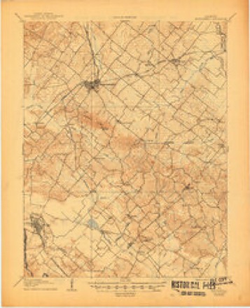
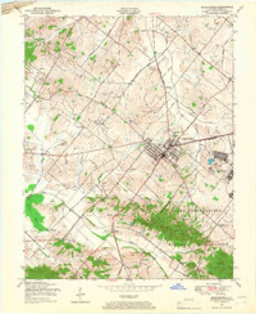
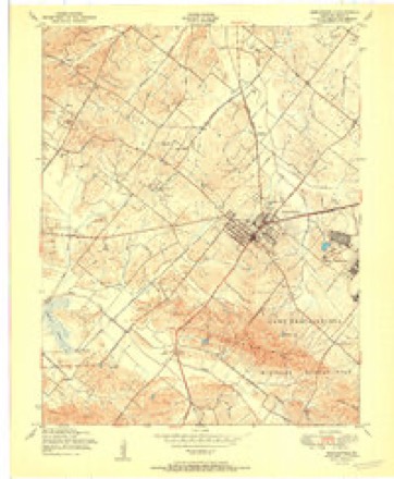
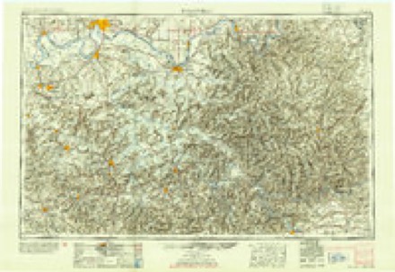
14 topographic sheets cover this place, the earliest surveyed in 1907 and the latest in 1991. It stands in the Uniontown census division. It lies in ZIP code area 42461. The Survey maps it on the Morganfield quadrangle.
Topographic sheets covering this place
9 surveys from 14 printed sheetsMatched by testing this settlement's coordinate against the published boundary of every sheet in the United States Geological Survey's historical collection. Each opens the scanned sheet at the Survey.
- 1907 USGS Morganfield quadrangle1:62500, 3 printings
- 1949 USGS Morganfield quadrangle1:24000
- 1951 USGS Morganfield quadrangle1:24000
- 1954 USGS Evansville quadrangle1:250000
- 1957 USGS Evansville quadrangle1:250000, 3 printings
- 1961 USGS Evansville quadrangle1:250000, 2 printings
- 1969 USGS Morganfield quadrangle1:24000
- 1986 USGS Evansville quadrangle1:100000
- 1991 USGS Evansville quadrangle1:100000
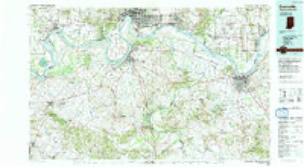
Fires near this place
1 since 2004Regional context, not property-specific evidence. The federal wildfire occurrence database lists 1 fire within 5 miles of Chapman in 2004, burning about 50 acres in total. None started naturally. None was recorded as arson. Distance is straight-line from the map coordinates, so a fire counted here may appear on a neighbouring settlement's page as well.
| Reported cause | Fires |
|---|---|
| Missing data/not specified/undetermined | 1 |
The most recent of them, most recent first, with the day each was reported and the service that recorded it.
| Date | Cause | Size | Reported by | Name on the report |
|---|---|---|---|---|
| 13 March 2004 | Missing data/not specified/undetermined | 50 acres | Kentucky Division of Forestry | not named |
Settlements close enough to share some of these fires:
Mines and quarries near this place
1 within 5 milesRegional context, not property-specific evidence. The federal mineral resources record lists 1 working within 5 miles of Chapman: 1 unknown. None of them still produces. What was taken out: Clay. Distance is straight-line from the map coordinates, so a quarry counted here may appear on a neighbouring settlement's page as well.
| Where | Site | Commodity | Status | Recorded |
|---|---|---|---|---|
| Uniontown Brick Works | Clay | Unknown |
Storms near this place
4 since 2009Regional context, not property-specific evidence. The National Weather Service names Chapman in 4 storm reports between 2009 and 2024: 3 tornado, 1 flood. The reports record 1 injury. Each account below is quoted exactly as the forecast office filed it, from the NOAA Storm Events Database, and each date opens the federal record of that event.
| When | Event | Place named | Harm | What the report says |
|---|---|---|---|---|
| March 2012 | Tornado (EF2) | Chapman | 1 hurt | The tornado touched down about 2 and 1/2 miles southeast of Uniontown and tracked east to about 5 miles west of Corydon. The tornado blew the roof off a home, destroyed a grain bin and a barn, blew down several trees and power poles, and produced mostly minor damage to a few homes and other structures. An elderly man was injured by flying debris in the house that lost its roof. |
| November 2013 | Tornado (EF3) | Chapman | $500,000 | The tornado began just northwest of Morganfield, then tracked north of and parallel to U.S. Highway 60. A church roof was lifted and blown sideways. There were numerous homes with roof damage and some substantial structural damage. One home sustained total roof loss. Numerous hardwood trees were snapped or uprooted, some of which were very large. Several barns and outbuildings were destroyed. One mobile home slid off its foundation. Another mobile home disintegrated, with no walls, flooring, or roofing found. The steel I-beam undercarriage was twisted. A large metal storage building was destroyed. The steel I-beams supporting the roof were twisted. This metal building, about a mile north of Waverly, is where the most intense damage was located. Peak winds were estimated near 145 mph. There were several visual sightings of the tornado by trained spotters, along with video. The tornado continued across the Henderson County line into the Corydon area. |
| April 2024 | Tornado (EF1) | Chapman | $85,000 | A brief EF-1 tornado struck rural portions of central Union County during the early morning hours. The tornado began just west of Wallie Clements Road, where a small shed was destroyed and a home suffered shingle and facia damage. Traveling east-southeast, the tornado severely damaged the roof and walls of a large, newly-built farm outbuilding located northwest of KY-359. The tornado dissipated after damaging a carport near a home along KY-141. Several trees also suffered damage to large limbs along the path. Peak winds were estimated at 100 mph. |
| October 2009 | Flood | Chapman | - | Kentucky Highway 1179 was closed near Kentucky 141, between the 0 and 1 mile marker. |
Nearest settlements
The eight closest, with where each one stands in the county. Distances are straight-line, computed from the Geographic Names Information System coordinates.
| Map | Place | Distance | Sheets |
|---|---|---|---|
| Morganfield | 2.3 miles | 14 | |
| Flournoy | 3.2 miles | 13 | |
| Breckinridge Center | 3.6 miles | 13 | |
| Saint Vincent | 4.1 miles | 13 | |
| Uniontown | 4.2 miles | 19 | |
| Boxtown | 4.4 miles | 19 | |
| Hamner | 5.0 miles | 14 | |
| Robinsville | 5.1 miles | 17 |
Provenance
This settlement is recorded in the Geographic Names Information System as feature 507686. The sheet list is computed by point-in-boundary test against the United States Geological Survey's historical topographic inventory. Both are works of the United States government and carry no copyright under 17 U.S.C. 105.
Wildfire. Short, Karen C. 2022. Spatial wildfire occurrence data for the United States, 1992-2020 [FPA_FOD_20221014]. 6th Edition. Fort Collins, CO: Forest Service Research Data Archive. https://doi.org/10.2737/RDS-2013-0009.6 Collected with United States Government funding and usable without additional permissions or fees.
Mines and quarries. USGS Mineral Resources Data System (MRDS) https://mrdata.usgs.gov/mrds/ A work of the United States government, no copyright under 17 U.S.C. 105.
Storms. NOAA National Centers for Environmental Information, Storm Events Database https://www.ncei.noaa.gov/stormevents/ A work of the United States government, no copyright under 17 U.S.C. 105. Narratives are quoted verbatim from the National Weather Service report and are not edited or summarised.