 Block
Audubon Park, Kentucky
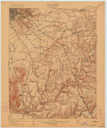
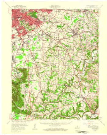
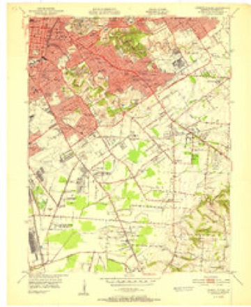
17 topographic sheets cover this place, the earliest surveyed in 1907 and the latest in 1986. It stands in the Louisville East census division. It lies in ZIP code area 40213. The Survey maps it on the Louisville East quadrangle. 1,433 people lived here at the 2020 count. It stands 512 feet above sea level.
On record in Audubon Park
Buildings and businesses the archive holds for this place. Each opens its own page, with the source record it came from.
On the National Register 1 record
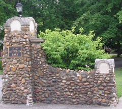 Audobon Park Historic Districtlisted 1996
Population over time
3 figuresAudubon Park fell from 1,545 to 1,433 between 2000 and 2020. These are the recorded population figures Wikidata holds for this place, reached through the Geographic Names Information System number this page is keyed on rather than by name, so they belong to this place and not to another of the same name. Most are census counts, but not all are: an early figure may be a founding or settlement estimate, and an estimate published within five years of a census is left out. The change column is computed, and is left blank where more than 20 years separate a figure from the one before it, because a gap that long is not a change between two counts.
| Year | People | Change |
|---|---|---|
| 2000 | 1,545 | |
| 2010 | 1,473 | -72 (-5%) |
| 2020 | 1,433 | -40 (-3%) |
Topographic sheets covering this place
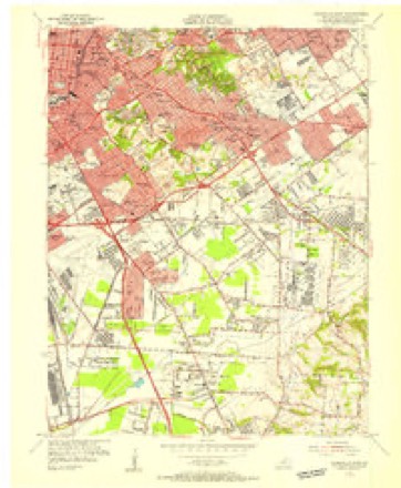
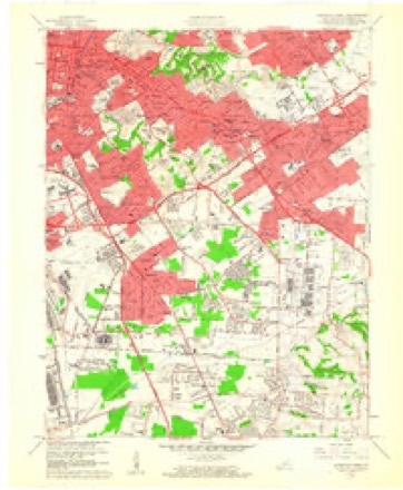
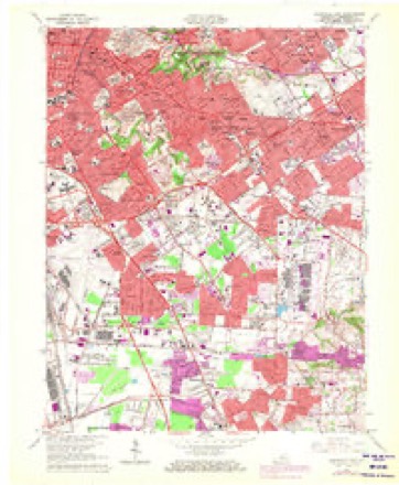
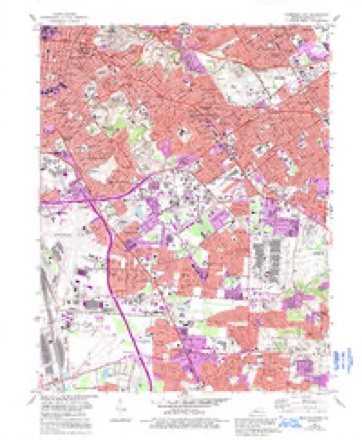
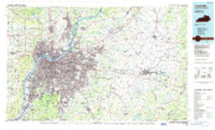
10 surveys from 17 printed sheetsMatched by testing this settlement's coordinate against the published boundary of every sheet in the United States Geological Survey's historical collection. Each opens the scanned sheet at the Survey.
- 1907 USGS Louisville quadrangle1:62500, 3 printings
- 1951 USGS Louisville quadrangle1:62500
- 1951 USGS Louisville East quadrangle1:24000
- 1955 USGS Louisville East quadrangle1:24000
- 1956 USGS Louisville quadrangle1:250000, 2 printings
- 1960 USGS Louisville East quadrangle1:24000
- 1964 USGS Louisville quadrangle1:250000
- 1965 USGS Louisville East quadrangle1:24000, 2 printings
- 1982 USGS Louisville East quadrangle1:24000, 3 printings
- 1986 USGS Louisville quadrangle1:100000, 2 printings


Mines and quarries near this place
4 within 5 milesRegional context, not property-specific evidence. The federal mineral resources record lists 4 workings within 5 miles of Audubon Park: 2 past producers, 1 producer, 1 unknown. 1 still produces. What was taken out: Sand and Gravel, Construction, Lead, Stone, Crushed/Broken. Distance is straight-line from the map coordinates, so a quarry counted here may appear on a neighbouring settlement's page as well.
| Where | Site | Commodity | Status | Recorded |
|---|---|---|---|---|
| Globe Union/ Louisville, Ky. | Lead | Unknown | ||
| Louisville Crushed Stone Mine | Stone, Crushed/Broken | Past Producer | ||
| First Street Yard | Sand and Gravel, Construction | Producer | ||
| Nugent Plant | Sand and Gravel, Construction | Past Producer |
Storms near this place
60 of 69 shownRegional context, not property-specific evidence. The National Weather Service names Audubon Park in 69 storm reports between 2007 and 2023: 33 thunderstorm wind, 13 hail, 8 flash flood, 7 lightning. No death or injury is recorded in these reports. Each account below is quoted exactly as the forecast office filed it, from the NOAA Storm Events Database, and each date opens the federal record of that event.
| When | Event | Place named | Harm | What the report says |
|---|---|---|---|---|
| April 2015 | Flash Flood | Audubon Park | $500,000 | Louisville MetroSafe reported over 160 high water rescues due to the 6 to 8 inches of rain that fell across the county. |
| August 2009 | Lightning | Audubon Park | $200,000 | Lightning started a four alarm apartment fire on Hurstbourne Parkway near I-64. |
| March 2017 | Thunderstorm Wind | Audubon Park | $100,000 | A trained spotter reported power poles bent over along Crittenden Drive. |
| July 2012 | Lightning | Audubon Park | $100,000 | Louisville emergency management reported that lightning started three separate house fires and two apartment fires within a 5 minute period. |
| July 2012 | Lightning | Audubon Park | $90,000 | Lightning struck a house on the 3900th block on third street. It started a fire in the basement that eventually consumed the house. Two people did not make it out of the house and died. |
| July 2008 | Lightning | Audubon Park | $75,000 | Lightning started a large house fire in the Lake Forest area. |
| April 2007 | Thunderstorm Wind | Audubon Park | $50,000 | A tree was blown on to a house on Algonquin Parkway. Power lines were downed and a house suffered some roof damage near the intersection of Sixth Street and St. Catherine. |
| September 2018 | Flash Flood | Audubon Park | $40,000 | There was a report of multiple cars trapped in high water on the ramp from Crittenden Drive to Interstate 65 South. |
| July 2013 | Thunderstorm Wind | Audubon Park | $40,000 | Local media reported that several trees were downed in the Bashford Manor area and near the Louisville neighborhood of Newburg. Roof damage was reported as well. This damage was a result of a very localized downburst just south of downtown Louisville that occurred minutes prior to the arrival of a more destructive line of storms. |
| July 2015 | Flash Flood | Audubon Park | $30,000 | A Kentucky state official reported that 5 water rescues were performed due to people stranded in vehicles in high water. |
| May 2018 | Thunderstorm Wind | Audubon Park | $20,000 | A tree fell down on a vehicle along Goss Avenue. |
| May 2018 | Thunderstorm Wind | Audubon Park | $20,000 | There was a tree reported down on a vehicle on Goss Ave. |
| May 2010 | Lightning | Audubon Park | $20,000 | Multiple power outages due to lightning were reported in Jefferson County. |
| August 2009 | Lightning | Audubon Park | $20,000 | An apartment caught fire after bring struck by lightning off Southside Drive and New Cut Road. |
| November 2011 | Thunderstorm Wind | Audubon Park | $15,000 | A portion of a roof was removed from a house on South Third Street. Water damaged portions of this home's interior. Elsewhere in Louisville, a tree was toppled at the intersection of Saint Catherine and Logan Streets. |
| June 2009 | Lightning | Audubon Park | $15,000 | Lightning struck two houses in the Jeffersontown area and caused several structural fires across the county. |
| July 2018 | Thunderstorm Wind | Audubon Park | $10,000 | There was a large tree down on a building near Audubon Park Golf Course. |
| March 2016 | Thunderstorm Wind | Audubon Park | $10,000 | Bleachers and goal posts were blown over due to severe thunderstorm winds at Male High School. |
| May 2012 | Flash Flood | Audubon Park | $5,000 | Flooding briefly closed Central Ave near the University of Louisville. |
| July 2008 | Thunderstorm Wind | Audubon Park | $5,000 | Roof damage occurred from a thunderstorm wind gust. |
| January 2012 | Thunderstorm Wind | Audubon Park | $2,000 | A spotter reported that 4 large utility poles were broken near the intersection of Floyd Street and Dakota Ave. |
| May 2023 | Thunderstorm Wind | Audubon Park | - | A tree was blown down near the intersection of Eastern Parkway and Barret Avenue in Louisville, causing temporary obstruction of the road. |
| August 2023 | Thunderstorm Wind | Audubon Park | - | A tree fell down over the road. |
| August 2021 | Hail | Audubon Park | - | The report was on social media. |
| June 2018 | Flood | Audubon Park | - | The 3200 block of Preston Highway was flooded. |
| July 2018 | Hail | Audubon Park | - | The public reported one inch hail at Thurston Avenue in Louisville. |
| August 2018 | Flood | Audubon Park | - | Old Eastern Parkway was closed due to flooding. |
| June 2016 | Thunderstorm Wind | Audubon Park | - | Local broadcast media reported trees down in the area. |
| July 2015 | Thunderstorm Wind | Audubon Park | - | The ASOS at the Louisville International Airport recorded a 60 mph wind gust associated with a severe thunderstorm. |
| July 2015 | Thunderstorm Wind | Audubon Park | - | A trained spotter relayed a report of numerous power outages across the city. |
| July 2015 | Thunderstorm Wind | Audubon Park | - | Due to severe thunderstorm winds and downed trees, a broadcast meteorologist relayed a report of over 9000 residences and businesses without power in Jefferson County. |
| July 2015 | Flash Flood | Audubon Park | - | A public report was received of flash flooding on South Shelby Street in Louisville as a result of excessive rainfall and intense rain rates. Between 3 and 5 inches of rain fell in a 3 hour period. |
| October 2014 | Hail | Audubon Park | - | A picture relayed via twitter indicated quarter sized hail near downtown Louisville. |
| July 2013 | Thunderstorm Wind | Audubon Park | - | ASOS measured a wind gust of 64 mph at Standiford field in Louisville. |
| June 2013 | Flash Flood | Audubon Park | - | The public reported several flooded roads in Audubon Park. |
| June 2013 | Hail | Audubon Park | - | A spotter reported one inch hail at the intersection of River Road and Zorn. |
| December 2013 | Flash Flood | Audubon Park | - | Heavy rain brought some road closures across the Louisville Metro area, including Preston Highway. |
| April 2013 | Hail | Audubon Park | - | Louisville broadcast media reported 1 inch hail 2 miles northeast of Churchhill Downs. |
| April 2012 | Hail | Audubon Park | - | A spotter a couple of miles east of the University of Louisville reported hail damage to several car windows. He also estimated 50 mph winds. |
| April 2012 | Hail | Audubon Park | - | A retired NWS employee reported 1.5 inches of hail in the Highlands area of Louisville. |
| May 2012 | Heavy Rain | Audubon Park | - | A National Weather Service employee measured 3.67 inches of rain in less than 3 hours at the Highlands, a subdivision of Louisville. |
| March 2012 | Hail | Audubon Park | - | One inch hail was reported at the Presbyterian Theological Seminary. |
| July 2012 | Thunderstorm Wind | Audubon Park | - | The public reported that several telephone poles were downed along with blown transformers near Interstate 65. |
| July 2012 | Thunderstorm Wind | Audubon Park | - | The Louisville media reported several trees and power poles downed along 7th Street. At nearly the same time, the ASOS weather instrument at Standiford Airport measured a 56 mph wind gust. |
| July 2012 | Thunderstorm Wind | Audubon Park | - | A second thunderstorm affecting Louisville within two hours produced a gust front that brought scattered damage to areas generally west of Interstate 65. The local fire department reported numerous trees down in Audubon Park. Several roads were temporarily blocked. |
| July 2012 | Thunderstorm Wind | Audubon Park | - | A trained spotter reported several trees down along the Eastern Parkway at Preston. |
| April 2011 | Flood | Audubon Park | - | Metro public works reported at least 11 road closures due to high water. |
| April 2011 | Thunderstorm Wind | Audubon Park | - | The city of Louisville reported numerous trees down throughout the metro area. |
| April 2011 | Heavy Rain | Audubon Park | - | A trained spotter reported 3.36 inches of rain. |
| April 2011 | Thunderstorm Wind | Audubon Park | - | A large tree was blown down on a house. |
| February 2009 | Thunderstorm Wind | Audubon Park | - | The bleachers at Ballard High School were overturned. |
| June 2009 | Thunderstorm Wind | Audubon Park | - | Trees were downed in Louisville. |
| June 2009 | Heavy Rain | Audubon Park | - | A Metro Louisville rain gage measured 2.11 inches of rain near Shively in less than one hour. |
| September 2009 | Flash Flood | Audubon Park | - | Preston Highway was closed at Hess Lane. High water was reported at Interstate 65 and Crittenden Drive. |
| August 2009 | Thunderstorm Wind | Audubon Park | - | An eight inch diameter limb was downed at a TV studio downtown. |
| August 2009 | Thunderstorm Wind | Audubon Park | - | Large limbs were downed with estimated 60 mph wind gusts at I-64 and Hurstbourne Parkway. |
| August 2009 | Heavy Rain | Audubon Park | - | An automated rain gauge near Rubbertown measured 5.34 inches of rainfall in approximately three hours. |
| March 2008 | Flood | Audubon Park | - | The Ohio River above Louisville crested at 26.1 feet around 800 AM EST on March 21. Flood stage on the upper gage is 23 feet. Minor flooding occurs at this level, with sections of River Road closed near Cox's Park, and some flooding in homes along River Road. |
| February 2008 | Thunderstorm Wind | Audubon Park | - | Straight line winds downed power lines at the Kentucky State Fairgrounds. |
| June 2008 | Thunderstorm Wind | Audubon Park | - | Power lines reported down along 3rd and Kenwood...as well as along East Ormsby and Mohawk. |
Nearest settlements
The eight closest, with where each one stands in the county. Distances are straight-line, computed from the Geographic Names Information System coordinates.
| Map | Place | Distance | Sheets |
|---|---|---|---|
| Prestonia | 0.6 miles | 17 | |
| Camp Taylor | 0.8 miles | 17 | |
| Parkway Village | 1.0 miles | 17 | |
| German Town | 1.5 miles | 17 | |
| Highlands | 1.8 miles | 17 | |
| Lynnview | 1.9 miles | 17 | |
| Highland Park | 2.0 miles | 18 | |
| Whitner | 2.1 miles | 17 |
Elsewhere
Matched on this settlement's Geographic Names Information System number rather than its name, so it cannot be a different place of the same name in another state.
| Wikipedia article on Audubon Park | An encyclopaedic summary. Its text is share-alike, so it is linked here rather than copied. |
| Wikidata item Q1914319 | The structured record the population and elevation above come from. Public domain (CC0). |
Provenance
This settlement is recorded in the Geographic Names Information System as feature 486138. The sheet list is computed by point-in-boundary test against the United States Geological Survey's historical topographic inventory. Both are works of the United States government and carry no copyright under 17 U.S.C. 105.
Mines and quarries. USGS Mineral Resources Data System (MRDS) https://mrdata.usgs.gov/mrds/ A work of the United States government, no copyright under 17 U.S.C. 105.
Storms. NOAA National Centers for Environmental Information, Storm Events Database https://www.ncei.noaa.gov/stormevents/ A work of the United States government, no copyright under 17 U.S.C. 105. Narratives are quoted verbatim from the National Weather Service report and are not edited or summarised.