 Block
Highlands, Kentucky
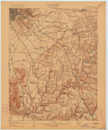
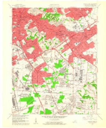
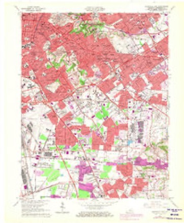
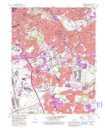
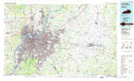
17 topographic sheets cover this place, the earliest surveyed in 1907 and the latest in 1986. It stands in the Louisville East census division. It lies in ZIP code area 40205. The Survey maps it on the Louisville East quadrangle.
On record in Highlands
Buildings and businesses the archive holds for this place. Each opens its own page, with the source record it came from.
On the National Register within a mile 12 of 15 shown
The National Register names another town for these. They stand within one mile of this settlement's coordinate.
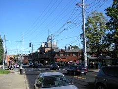 Schuster Buildinglisted 1980 · 0.3 miles away
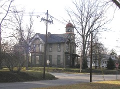 Bullock-Clifton Houselisted 1982 · 0.3 miles away
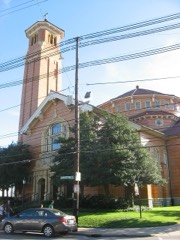 St. James Roman Catholic Church, Rectory, and Schoollisted 1982 · 0.4 miles away
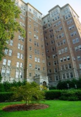 Commodore Apartment Buildinglisted 1982 · 0.6 miles away
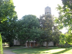 Saint Francis of Assisi Complexlisted 1987 · 0.6 miles away
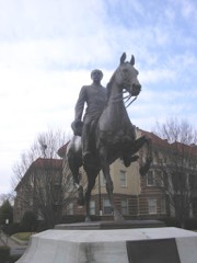 John B. Castleman Monumentlisted 1997 · 0.6 miles away
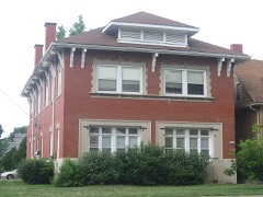 Steam Engine Company No. 22listed 1980 · 0.7 miles away
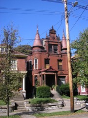 Highlands Historic Districtlisted 1983 · 0.7 miles away
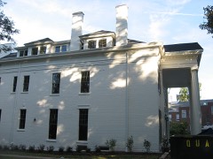 Woodbourne Houselisted 2008 · 0.8 miles away
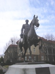 Cherokee Triangle Area Residential Districtlisted 1976 · 0.8 miles away
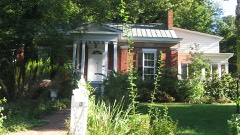 Howard-Gettys Houselisted 1978 · 0.9 miles away
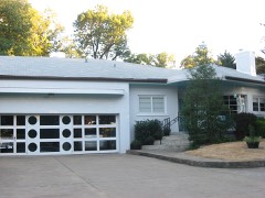 Leslie V. Abbott Houselisted 2013 · 0.9 miles away
Topographic sheets covering this place
10 surveys from 17 printed sheetsMatched by testing this settlement's coordinate against the published boundary of every sheet in the United States Geological Survey's historical collection. Each opens the scanned sheet at the Survey.
- 1907 USGS Louisville quadrangle1:62500, 3 printings
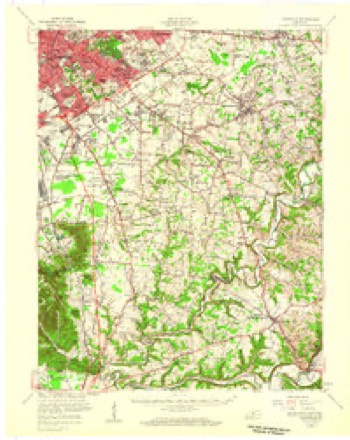
- 1951 USGS Louisville quadrangle1:62500
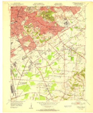
- 1951 USGS Louisville East quadrangle1:24000
- 1955 USGS Louisville East quadrangle1:24000
- 1956 USGS Louisville quadrangle1:250000, 2 printings
- 1960 USGS Louisville East quadrangle1:24000
- 1964 USGS Louisville quadrangle1:250000
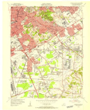
- 1965 USGS Louisville East quadrangle1:24000, 2 printings
- 1982 USGS Louisville East quadrangle1:24000, 3 printings
- 1986 USGS Louisville quadrangle1:100000, 2 printings


Photographs
1 photograph, 2020Taken for the Office of War Information and the Farm Security Administration, who photographed the country between 1935 and 1944. Works of United States government photographers, with no known restriction on use. Each opens its catalogue record.
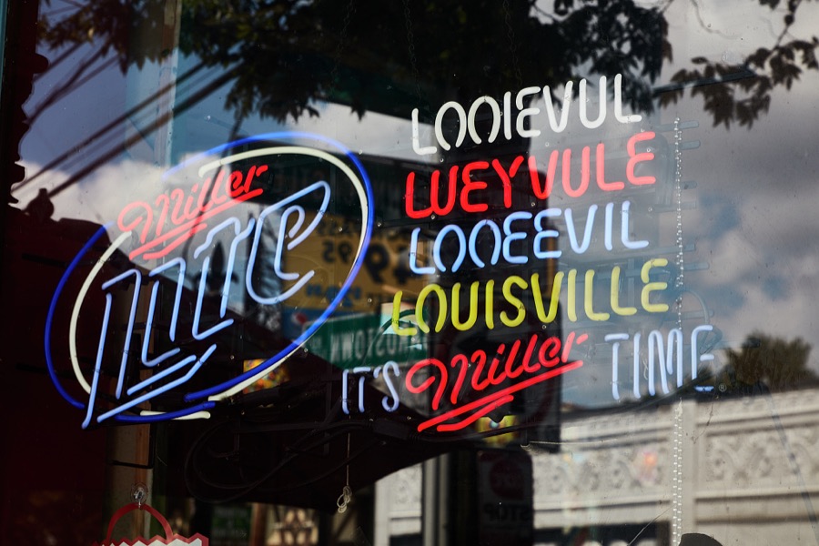
Highsmith, Carol M, 2020. Library of Congress
Mines and quarries near this place
7 within 5 milesRegional context, not property-specific evidence. The federal mineral resources record lists 7 workings within 5 miles of Highlands: 4 past producers, 1 producer, 1 plant, 1 unknown. 2 still produce. What was taken out: Sand and Gravel, Construction, Salt, Lead, Stone, Crushed/Broken. Distance is straight-line from the map coordinates, so a quarry counted here may appear on a neighbouring settlement's page as well.
| Where | Site | Commodity | Status | Recorded |
|---|---|---|---|---|
| Cargill Salt/ Clarksville, Ind. | Salt | Plant | ||
| Globe Union/ Louisville, Ky. | Lead | Unknown | ||
| Louisville Crushed Stone Mine | Stone, Crushed/Broken | Past Producer | ||
| Pilot Co. Pit | Magnesite | Past Producer | ||
| First Street Yard | Sand and Gravel, Construction | Producer | ||
| Martha E. Green Dredge | Sand and Gravel, Construction | Past Producer | ||
| Nugent Plant | Sand and Gravel, Construction | Past Producer |
Storms near this place
52 since 2004Regional context, not property-specific evidence. The National Weather Service names Highlands in 52 storm reports between 2004 and 2025: 34 thunderstorm wind, 7 flash flood, 6 flood, 4 hail. No death or injury is recorded in these reports. Each account below is quoted exactly as the forecast office filed it, from the NOAA Storm Events Database, and each date opens the federal record of that event.
| When | Event | Place named | Harm | What the report says |
|---|---|---|---|---|
| June 2017 | Thunderstorm Wind | Highlands | $50,000 | A large tree fell on a vehicle and also a home resulting in structural damage. |
| December 2007 | Flood | Highlands | $30,000 | Two water rescues were performed in and near Cherokee Park in the Louisville Metropolitan area. One person was rescued from a car in the Dog Hill area of the park. A second vehicle was trapped in high water near the park, in the vicinity of Alta Vista Road and Maple Road. |
| October 2007 | Thunderstorm Wind | Highlands | $30,000 | A gas station awning was damaged and a large oak tree was felled by winds estimated at 70 kts in the Hillcrest area of Louisville. |
| June 2018 | Thunderstorm Wind | Highlands | $20,000 | There was a report of a tree down on a car on Grinstead Drive. |
| September 2012 | Thunderstorm Wind | Highlands | $20,000 | A large tree fell along Woodbourne Avenue, crushing a car. |
| March 2017 | Thunderstorm Wind | Highlands | $15,000 | Local broadcast media reported numerous tree limbs fell on a vehicle. |
| July 2015 | Thunderstorm Wind | Highlands | $10,000 | A broadcast meteorologist relayed a report of large trees down on power lines in the area as a result of severe thunderstorm winds. |
| December 2015 | Thunderstorm Wind | Highlands | $10,000 | The public reported to the NWS that severe thunderstorm winds brought down a tree onto a building. |
| December 2015 | Thunderstorm Wind | Highlands | $10,000 | The public reported to the NWS that severe thunderstorm winds brought down a tree on a building. |
| October 2007 | Hail | Highlands | $10,000 | Hail 1.25 inch in diameter fell in the Crescent Hill area with a storm that later produced a brief EF0 tornado farther east. |
| May 2012 | Flash Flood | Highlands | $5,000 | Flooding on Lexington Road stalled several cars. |
| October 2007 | Tornado (EF0) | Highlands | $3,000 | The EF-0 tornado touched down briefly at a grocery store at 2200 Brownsboro Road. It blew out windows in the grocery and in a dry cleaners located in the same structure. A shopping cart corral was blown into a car, and a large power pole was blown down. |
| August 2011 | Thunderstorm Wind | Highlands | $2,000 | An NWS employee reported trees down near the intersection of Baxter Ave. and Grinstead Drive. She also reported that a tree fell on her house, which is located just off Bardstown Road. |
| May 2025 | Thunderstorm Wind | Highlands | - | A tree was blown down across Etley Avenue in Louisville. |
| May 2025 | Thunderstorm Wind | Highlands | - | A tree was blown down across the road near the intersection of Lexington Road and Payne Street in Louisville. |
| May 2025 | Thunderstorm Wind | Highlands | - | A tree was blown down, bringing power lines down with it near the 2100 block of Lexington Road in Louisville. |
| August 2023 | Thunderstorm Wind | Highlands | - | Power lines fell on Hepburn Avenue. |
| May 2022 | Thunderstorm Wind | Highlands | - | Trees were blown down on Story Avenue in Louisville. |
| June 2022 | Thunderstorm Wind | Highlands | - | Trees were down on Grinstead Drive near Interstate 64. |
| February 2020 | Flood | Highlands | - | Media reports stated Frankfort Avenue between Story and River Road was closed due to high water. |
| July 2020 | Thunderstorm Wind | Highlands | - | A tree was reported down on the 1900 block of Deer Park. |
| July 2020 | Thunderstorm Wind | Highlands | - | A billboard was blown down in the middle of the road at the intersection of Grinstead Drive and Lexington Road. |
| August 2019 | Thunderstorm Wind | Highlands | - | A large tree was blown down near the intersection of Lowell Avenue and Lakeside Drive. There were also multiple power outages around Louisville Metro. |
| June 2018 | Flood | Highlands | - | Water was reported over the roadway in Cherokee Park. |
| February 2018 | Flash Flood | Highlands | - | Amateur radio operators reported exit ramps were closed due to high water on Interstate 64 and Story Avenue. |
| February 2018 | Flood | Highlands | - | Mellwood Avenue flooded from Edith Road to Brownsboro Road due to flooding. |
| February 2018 | Flood | Highlands | - | Adams Street from Story Avenue to Cabel Street closed due to high water and flooding. |
| May 2018 | Thunderstorm Wind | Highlands | - | Trees were down along River Road just northeast of downtown. |
| July 2018 | Flash Flood | Highlands | - | A local TV station showed video of Lexington Road flooded. |
| March 2017 | Thunderstorm Wind | Highlands | - | Local broadcast media reported that two trees were blown down on Mellwood Avenue east of downtown Louisville. |
| June 2017 | Thunderstorm Wind | Highlands | - | Local broadcast media reported several large trees were blown over blocking portions of Cherokee Parkway. |
| June 2016 | Thunderstorm Wind | Highlands | - | Local law enforcement reported trees down on Payne Street and Grinstead Drive. |
| June 2016 | Thunderstorm Wind | Highlands | - | Broadcast media reported to the NWS that trees were down on River Road. |
| June 2016 | Thunderstorm Wind | Highlands | - | Local law enforcement reported trees down near Cherokee Park. |
| June 2016 | Thunderstorm Wind | Highlands | - | Trees were reported down blocking the road near the intersection of Brownsboro and Birchwood Road. |
| June 2016 | Thunderstorm Wind | Highlands | - | Local broadcast meteorologists reported trees were down near Dundee Road and Strathmoor Boulevard. |
| June 2016 | Thunderstorm Wind | Highlands | - | The public reported trees down in the area. |
| May 2016 | Thunderstorm Wind | Highlands | - | Trees were reported down in the area. |
| July 2015 | Thunderstorm Wind | Highlands | - | A trained spotter reported a 10 inch diameter tree fell across the road. |
| July 2015 | Thunderstorm Wind | Highlands | - | A broadcast meteorologist relayed a report of trees and power poles down in the area from severe thunderstorm winds. |
| July 2015 | Thunderstorm Wind | Highlands | - | A broadcast media meteorologist relayed a report of trees down near the intersection of Frankfort Avenue and Story Avenue. |
| October 2014 | Hail | Highlands | - | Hail up to the size of quarters fell near the intersection of Frankfort and Ewing Avenues. |
| June 2013 | Flash Flood | Highlands | - | The public reported that Frankfort Avenue north of Story Ave. was flooded. |
| June 2013 | Thunderstorm Wind | Highlands | - | Local law enforcement reported two trees down in Cherokee Park. |
| July 2012 | Hail | Highlands | - | Quarter sized hail fell in the Crescent hill neighborhood. |
| November 2011 | Flood | Highlands | - | Local law enforcement reported that Blevins Gap Road and Frankfort Avenue were closed due to high water. |
| September 2009 | Flash Flood | Highlands | - | Six inches of water was flowing over Brownsboro Road at Lindsay Avenue. |
| August 2009 | Flash Flood | Highlands | - | Brownsboro Road was closed west of Clifton. |
| February 2008 | Flash Flood | Highlands | - | Lindssy Avenue was flooded near the V. A. Hospital. |
| July 2008 | Thunderstorm Wind | Highlands | - | Trees were downed at Eastern Parkway and Barrett Ave, Scottsville Road and Paoli Pike...Highway 146 at Locus and Old Taylorsville Road at Rehl. |
| May 2004 | Thunderstorm Wind | Highlands | - | Trees were downed. |
| March 2017 | Hail | Highlands | - | no account filed |
Nearest settlements
The eight closest, with where each one stands in the county. Distances are straight-line, computed from the Geographic Names Information System coordinates.
| Map | Place | Distance | Sheets |
|---|---|---|---|
| Strathmoor Manor | 1.5 miles | 17 | |
| German Town | 1.5 miles | 17 | |
| Seneca Gardens | 1.6 miles | 17 | |
| Strathmoor Village | 1.6 miles | 17 | |
| Audubon Park | 1.8 miles | 17 | |
| Strathmoor Gardens | 1.9 miles | 17 | |
| Parkway Village | 2.0 miles | 17 | |
| Cliftons | 2.0 miles | 21 |
Provenance
This settlement is recorded in the Geographic Names Information System as feature 494223. The sheet list is computed by point-in-boundary test against the United States Geological Survey's historical topographic inventory. Both are works of the United States government and carry no copyright under 17 U.S.C. 105.
Mines and quarries. USGS Mineral Resources Data System (MRDS) https://mrdata.usgs.gov/mrds/ A work of the United States government, no copyright under 17 U.S.C. 105.
Storms. NOAA National Centers for Environmental Information, Storm Events Database https://www.ncei.noaa.gov/stormevents/ A work of the United States government, no copyright under 17 U.S.C. 105. Narratives are quoted verbatim from the National Weather Service report and are not edited or summarised.