 Block
Avoca, Kentucky
12 topographic sheets cover this place, the earliest surveyed in 1932 and the latest in 1986. It stands in the Northeast Jefferson census division. It lies in ZIP code area 40245. It lies near Pleasant Hill. The Survey maps it on the Crestwood quadrangle.
On record in Avoca
Buildings and businesses the archive holds for this place. Each opens its own page, with the source record it came from.
On the National Register within a mile 1 record
The National Register names another town for these. They stand within one mile of this settlement's coordinate.
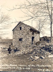 Chenoweth Fort-Springhouselisted 1975 · 0.4 miles away
Topographic sheets covering this place
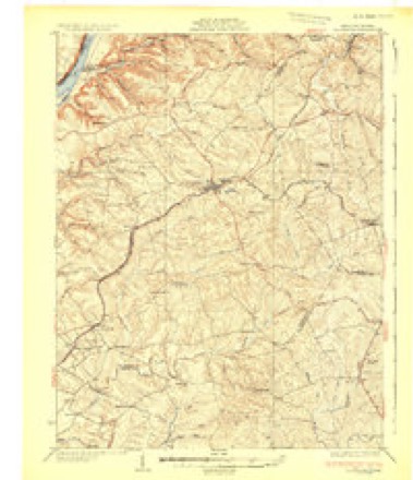
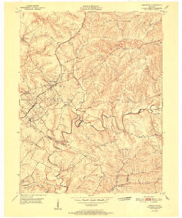
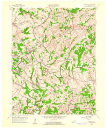
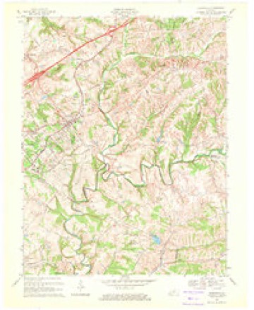
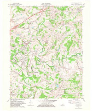
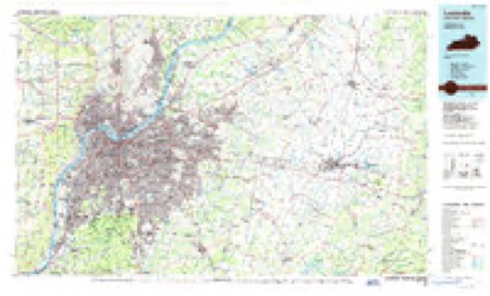
8 surveys from 12 printed sheetsMatched by testing this settlement's coordinate against the published boundary of every sheet in the United States Geological Survey's historical collection. Each opens the scanned sheet at the Survey.
- 1932 USGS La Grange quadrangle1:62500
- 1951 USGS Crestwood quadrangle1:24000
- 1956 USGS Louisville quadrangle1:250000, 2 printings
- 1960 USGS Crestwood quadrangle1:24000, 2 printings
- 1964 USGS Louisville quadrangle1:250000
- 1969 USGS Crestwood quadrangle1:24000
- 1981 USGS Crestwood quadrangle1:24000, 2 printings
- 1986 USGS Louisville quadrangle1:100000, 2 printings


Mines and quarries near this place
2 within 5 milesRegional context, not property-specific evidence. The federal mineral resources record lists 2 workings within 5 miles of Avoca: 1 producer, 1 unknown. 1 still produces. What was taken out: Stone, Crushed/Broken. Distance is straight-line from the map coordinates, so a quarry counted here may appear on a neighbouring settlement's page as well.
| Where | Site | Commodity | Status | Recorded |
|---|---|---|---|---|
| Avoca Quarry | Stone, Crushed/Broken | Producer | ||
| Crestwood Quarry | Stone, Crushed/Broken | Unknown |
Storms near this place
9 since 2012Regional context, not property-specific evidence. The National Weather Service names Avoca in 9 storm reports between 2012 and 2023: 3 hail, 3 flash flood, 2 thunderstorm wind, 1 tornado. No death or injury is recorded in these reports. Each account below is quoted exactly as the forecast office filed it, from the NOAA Storm Events Database, and each date opens the federal record of that event.
| When | Event | Place named | Harm | What the report says |
|---|---|---|---|---|
| March 2023 | Tornado (EF1) | Avoca | - | The National Weather Service conducted a storm assessment survey across Eastern Jefferson County from storms early Saturday morning just after midnight on April 1. The survey team found an EF1 tornado with maximum winds of 90 mph. The tornado went a little over 4 miles intermittently and crossed over into extreme northwestern Shelby County.||The tornado first touched down just east of I-265 (Gene Snyder Freeway)|at a large warehouse by Terra View Trail. The western edge of the warehouse was partially peeled back and insulation was thrown off to the north through easterly directions. A portion of the tornado was aloft, based on the lack of tree damage initially, until it hit a plastic surgery center off of Bush Farm Road which sustained roof damage. This consisted of shingle and fascia damage. Most of that was cleaned up and repaired by the time of the survey. There was insulation on the backside of the three-story building.||The street sign was bent back and turned to the northeast at Arnold Palmer Boulevard near Chestnut Ridge. There was sporadic tree damage along Chestnut Ridge Circle, and at 15107 Chestnut Ridge Circle a doorbell camera showed an intense loud 20 second burst of wind and rain. The homeowner stated that the entire house was shaking,|and several trees were snapped and twisted, and their garbage tote was found two houses over behind that house. Behind their house across Lake Forest Country Club were several uprooted and twisted trees. Most of the trees were laying from the north|northeast to due east. There was sporadic wind damage along Champion Lakes Way, with several houses sustaining gutter and fascia damage. The maximum wind speed in Lake Forest was 85 mph with a width of 75 yards. ||The tornado took a southward jog along Flat Rock Road and increased in wind speed and width. All along Flat Rock Road there were dozens and dozens of trees snapped, twisted and uprooted. The width of the tornado increased to 130 yards wide and the wind speed increased to 90 mph. Several residents heard a distinct roar and had their ears pop. There was shingle and fascia damage.||The tornado took a northward jog and crossed into northwestern Shelby County. |
| July 2023 | Flash Flood | Avoca | - | Flooding was observed along Arnold Palmer Boulevard in the Lake Forest community. Water levels along the road reached the bottom of car bumpers. |
| July 2023 | Hail | Avoca | - | Ping pong ball sized hail was observed in the Lake Forest community. |
| September 2020 | Flash Flood | Avoca | - | Shelbyville Road eastbound at Interstate 265 was shutdown due to high water. |
| July 2018 | Flash Flood | Avoca | - | Old Henry Road was flooded to Factory Lane from the Gene Snyder. There was a report of water flowing on the Gene Snyder at mile marker 28. |
| July 2016 | Thunderstorm Wind | Avoca | - | A NWS Storm Survey concluded that straight line winds resulted in about a dozen trees damaged and uprooted, including hardwoods such as oak and locust. |
| June 2013 | Thunderstorm Wind | Avoca | - | Numerous trees were downed in Middletown on the east side of Louisville Metro. Local law enforcement initially reported 2 trees down 2 miles northeast of Middletown. A later report from the County Highway Department mentioned a total of over 2 dozen trees downed in the same neighborhood at around the same time. |
| July 2018 | Hail | Avoca | - | no account filed |
| March 2012 | Hail | Avoca | - | no account filed |
Nearest settlements
The eight closest, with where each one stands in the county. Distances are straight-line, computed from the Geographic Names Information System coordinates.
| Map | Place | Distance | Sheets |
|---|---|---|---|
| Berrytown | 1.3 miles | 16 | |
| Beckley | 1.3 miles | 12 | |
| Woodland Hills | 1.9 miles | 17 | |
| Anchorage | 1.9 miles | 16 | |
| O'Bannon | 2.2 miles | 16 | |
| Middletown | 2.3 miles | 17 | |
| Old Eastwood | 2.5 miles | 12 | |
| Griffytown | 2.5 miles | 16 |
Provenance
This settlement is recorded in the Geographic Names Information System as feature 486158. The sheet list is computed by point-in-boundary test against the United States Geological Survey's historical topographic inventory. Both are works of the United States government and carry no copyright under 17 U.S.C. 105.
Mines and quarries. USGS Mineral Resources Data System (MRDS) https://mrdata.usgs.gov/mrds/ A work of the United States government, no copyright under 17 U.S.C. 105.
Storms. NOAA National Centers for Environmental Information, Storm Events Database https://www.ncei.noaa.gov/stormevents/ A work of the United States government, no copyright under 17 U.S.C. 105. Narratives are quoted verbatim from the National Weather Service report and are not edited or summarised.