 Block
Barbourville, Kentucky
17 topographic sheets cover this place, the earliest surveyed in 1886 and the latest in 1977. It stands in the Barbourville census division. It lies in ZIP code area 40906. It stands on Richland Creek. The Survey maps it on the Barbourville quadrangle. 3,222 people lived here at the 2020 count. It stands 981 feet above sea level.
Research this city
On record in Barbourville
Buildings and businesses the archive holds for this place. Each opens its own page, with the source record it came from.
On the National Register 5 records
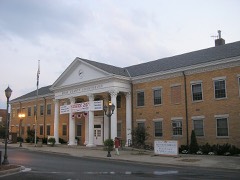 Barbourville Commercial Districtlisted 1984
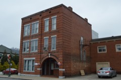 Mitchell Building-First State Bank Buildinglisted 1984
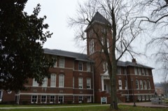 Old Classroom Building, Union Collegelisted 1975
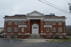 Soldiers and Sailors Memorial Gymnasiumlisted 1984
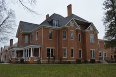 Speed Halllisted 1982
Population over time
2 figuresBarbourville grew from 3,165 to 3,222 between 2010 and 2020. These are the recorded population figures Wikidata holds for this place, reached through the Geographic Names Information System number this page is keyed on rather than by name, so they belong to this place and not to another of the same name. Most are census counts, but not all are: an early figure may be a founding or settlement estimate, and an estimate published within five years of a census is left out. The change column is computed, and is left blank where more than 20 years separate a figure from the one before it, because a gap that long is not a change between two counts.
| Year | People | Change |
|---|---|---|
| 2010 | 3,165 | |
| 2020 | 3,222 | +57 (+2%) |
Topographic sheets covering this place
10 surveys from 17 printed sheetsMatched by testing this settlement's coordinate against the published boundary of every sheet in the United States Geological Survey's historical collection. Each opens the scanned sheet at the Survey.
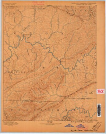
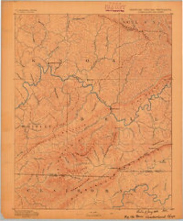
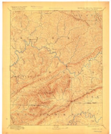
- 1886 USGS Cumberland Gap quadrangle1:125000
- 1888 USGS Cumberland Gap quadrangle1:125000
- 1891 USGS Cumberland Gap quadrangle1:125000, 7 printings
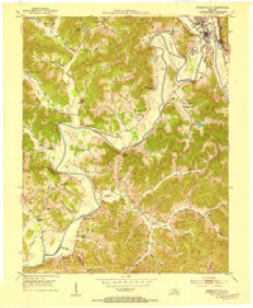
- 1952 USGS Barbourville quadrangle1:24000, 2 printings
- 1955 USGS Johnson City quadrangle1:250000
- 1957 USGS Johnson City quadrangle1:250000
- 1960 USGS Johnson City quadrangle1:250000
- 1963 USGS Johnson City quadrangle1:250000
- 1974 USGS Barbourville quadrangle1:24000
- 1977 USGS Middlesboro quadrangle1:100000
Photographs
8 of 31 photographs shown, 1940Taken for the Office of War Information and the Farm Security Administration, who photographed the country between 1935 and 1944. Works of United States government photographers, with no known restriction on use. Each opens its catalogue record.
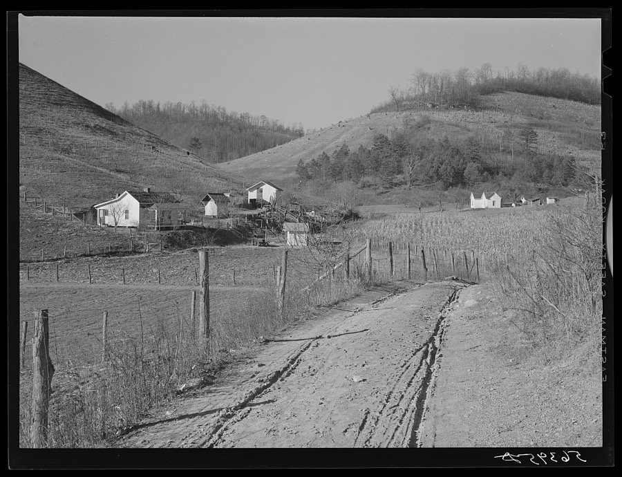
Wolcott, Marion Post, 1940. Library of Congress
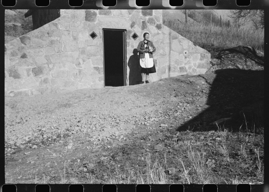
Wolcott, Marion Post, 1940. Library of Congress
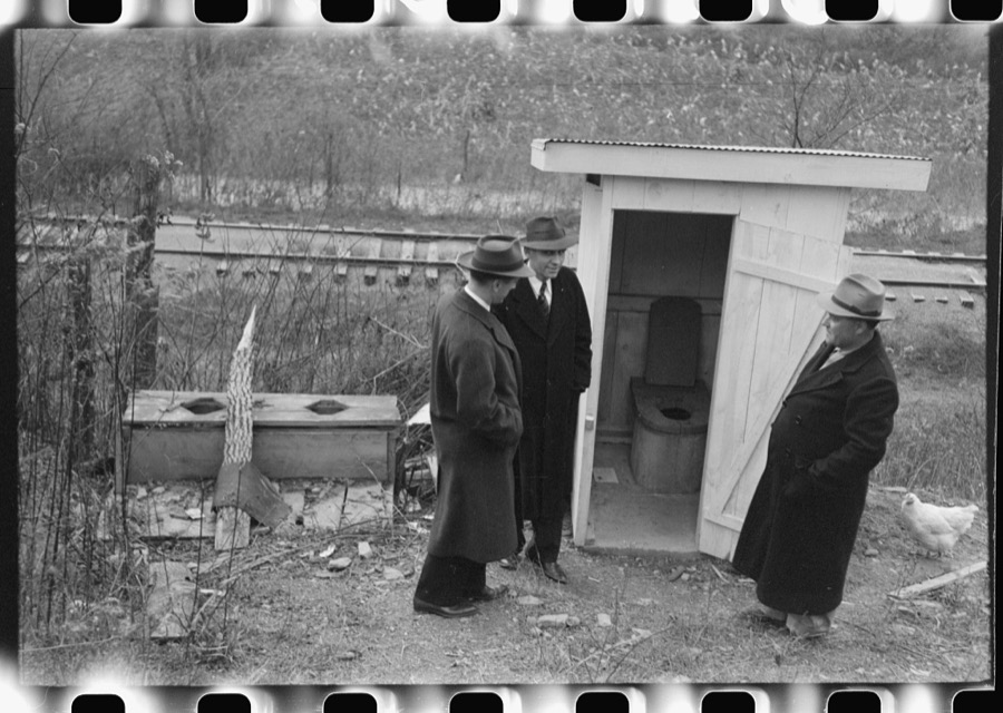
Wolcott, Marion Post, 1940. Library of Congress
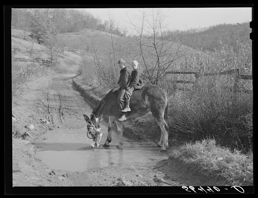
Wolcott, Marion Post, 1940. Library of Congress
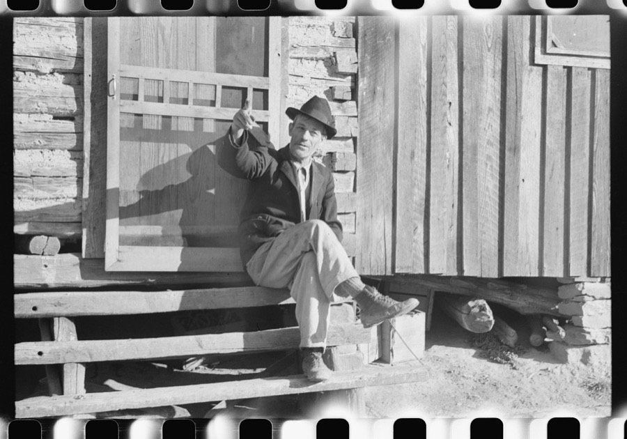
Wolcott, Marion Post, 1940. Library of Congress
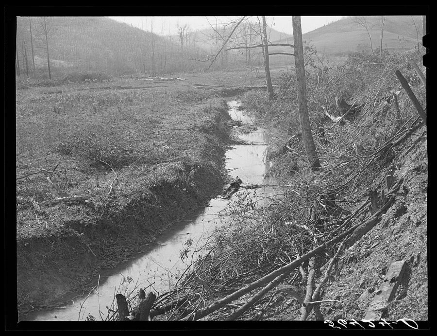
Wolcott, Marion Post, 1940. Library of Congress
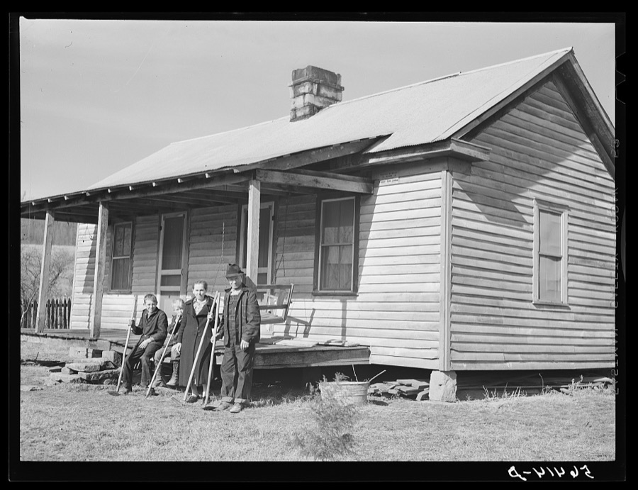
Wolcott, Marion Post, 1940. Library of Congress
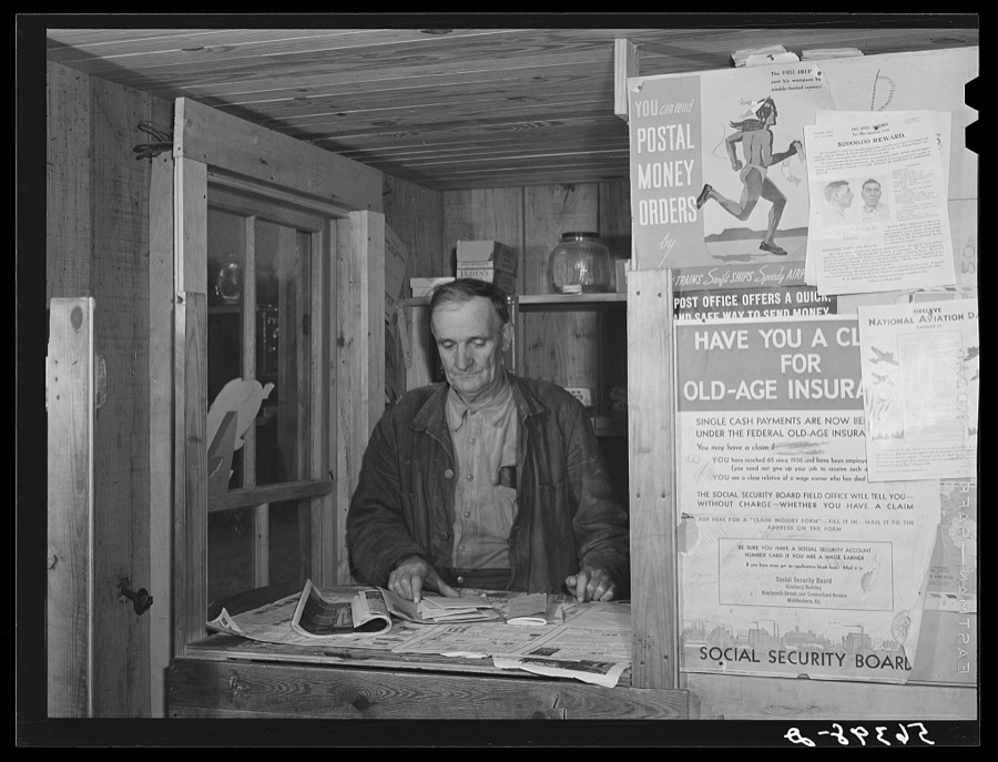
Wolcott, Marion Post, 1940. Library of Congress
Every photograph of Knox County
Fires near this place
291 since 1997Regional context, not property-specific evidence. The federal wildfire occurrence database lists 291 fires within 5 miles of Barbourville between 1997 and 2020, burning about 6,383 acres in total. 3 started naturally. 58 were recorded as arson. Distance is straight-line from the map coordinates, so a fire counted here may appear on a neighbouring settlement's page as well.
| Reported cause | Fires |
|---|---|
| Debris and open burning | 162 |
| Arson/incendiarism | 58 |
| Missing data/not specified/undetermined | 41 |
| Recreation and ceremony | 23 |
| Natural | 3 |
| Equipment and vehicle use | 2 |
| Misuse of fire by a minor | 2 |
The most recent of them, most recent first, with the day each was reported and the service that recorded it.
| Date | Cause | Size | Reported by | Name on the report |
|---|---|---|---|---|
| 8 September 2007 | Debris and open burning | 35 acres | Kentucky Division of Forestry | not named |
| 16 September 1999 | Debris and open burning | 16 acres | Kentucky Division of Forestry | not named |
| 10 September 2007 | Debris and open burning | 60 acres | Kentucky Division of Forestry | not named |
| 29 June 2012 | Debris and open burning | 63 acres | Kentucky Division of Forestry | SWAN LAKE |
| 23 June 2012 | Debris and open burning | 25 acres | Kentucky Division of Forestry | BULL RUN F |
| 16 June 2005 | Missing data/not specified/undetermined | under an acre | Kentucky Division of Forestry | not named |
| 13 June 2020 | Debris and open burning | 1.0 acres | Kentucky Division of Forestry | VALENTINE BRANCH FIRE |
| 13 June 1999 | Arson/incendiarism | 1.0 acres | Kentucky Division of Forestry | not named |
Settlements close enough to share some of these fires:
Storms near this place
60 of 82 shownRegional context, not property-specific evidence. The National Weather Service names Barbourville in 82 storm reports between 1998 and 2025: 46 thunderstorm wind, 15 hail, 14 flash flood, 3 heavy rain. The reports record 6 injuries. Each account below is quoted exactly as the forecast office filed it, from the NOAA Storm Events Database, and each date opens the federal record of that event.
| When | Event | Place named | Harm | What the report says |
|---|---|---|---|---|
| March 2012 | Heavy Rain | Barbourville | 6 hurt, $20,000 | The roof of the Tru-Seal factory in Barbourville due to the weight of rain water that had accumulated on the roof. Six injuries were reported. |
| July 2008 | Thunderstorm Wind | Barbourville | $100,000 | Part of the roof was blown off a barn along Highway 459. Extensive tree and power line damage occurred county wide, with the hardest area being the south side of Barbourville. |
| April 2007 | Thunderstorm Wind | Barbourville | $100,000 | Numerous trees down countywide. Road signs blown down. Roof blown off a trailer. Eight children in a shelter due to their home being uninhabitable. Unconfirmed report of 2 people trapped in their basement due to wind damage. |
| March 2002 | Flash Flood | Barbourville | $50,000 | Heavy rains during the afternoon and evening of March 17, resulted in repeated episodes of flash flooding. Numerous roads were flooded, a bridge was washed out, and a trailer was washed away. |
| July 2008 | Thunderstorm Wind | Barbourville | $35,000 | Numerous trees were blown down across the western and northern portions of the county. The worst of the damage occurred near the Laurel county line. |
| January 2008 | Thunderstorm Wind | Barbourville | $30,000 | Trees and power poles were blown down throughout the county by winds estimated at 67 mph. |
| April 2011 | Thunderstorm Wind | Barbourville | $25,000 | Numerous trees and large limbs were downed by thunderstorm wind gusts in Barbourville. Two large trees were felled near the intersection of North Main and School Streets. One of the trees fell onto a parked truck, causing substantial damage to the vehicle. |
| May 2004 | Thunderstorm Wind | Barbourville | $10,000 | Windows were blown out of numerous homes. Trees were down countywide, including along College Street, College Park Drive, and Davis Bend Road. |
| August 2006 | Thunderstorm Wind | Barbourville | $5,000 | Numerous trees down. Signs down in town. Power lines down. |
| May 2003 | Thunderstorm Wind | Barbourville | $5,000 | Numerous trees and power lines were down in Barbourville. Numerous trees were also down countywide. |
| May 2011 | Thunderstorm Wind | Barbourville | $3,000 | Thunderstorm wind gusts caused extensive damage on the property of a volunteer storm spotter. The damage included a tri-axle RV trailer being moved 2 to 3 feet with awning ripped apart, limbs roughly 2 inches in diameter being broken off of trees, and one tree blown down. |
| May 2011 | Thunderstorm Wind | Barbourville | $3,000 | High winds moved a triaxle RV trailer approximately 2 to 3 feet. The winds also ripped an awning apart. Limbs approximately 2 inches in diameter were broken off trees and a tree was knocked over. |
| August 2010 | Thunderstorm Wind | Barbourville | $3,000 | A few trees were blown down north northwest of Barbourville. |
| April 2006 | Thunderstorm Wind | Barbourville | $3,000 | Tree down on trailer. |
| July 2006 | Thunderstorm Wind | Barbourville | $3,000 | Twelve to 15 trees down including on a house and power lines. |
| May 2011 | Thunderstorm Wind | Barbourville | $2,000 | Two trees were blown across a road 4 miles east of Barbourville. |
| June 2008 | Thunderstorm Wind | Barbourville | $2,000 | Two trees were blown down by thunderstorm wind gusts. |
| January 2022 | Thunderstorm Wind | Barbourville | $1,500 | A utility pole was reported down on Knox Street in downtown Barbourville. |
| February 2018 | Flood | Barbourville | $1,000 | The following roads were partially blocked throughout the county due to flooding: KY 3153, KY 3439, KY 225, KY 11, KY 223, KY 1527, and KY 459. Kentucky Highway 459 at Wynn Hollow Road was impassable due to flooding (broadcast media). |
| July 2015 | Flash Flood | Barbourville | $1,000 | Kentucky Hwy 459 was closed due to flooding. |
| April 2015 | Flash Flood | Barbourville | $1,000 | A couple of feet of water was observed flowing across Whitesburg Hollow located on Hwy 3439. Three to four inches of water was observed flowing across US 25 at Knox Street. Five to six inches of water was observed flowing across Cumberland Ave at US 25E. |
| June 2014 | Lightning | Barbourville | $1,000 | A 70 to 80 foot tall poplar tree was struck and damaged by lightning. |
| August 2013 | Flood | Barbourville | $1,000 | Up to two feet of water was covering College St near downtown Barbourville. |
| February 2012 | Thunderstorm Wind | Barbourville | $1,000 | A tree was blown down and across Hwy 229 approximately 1/4 to 1/2 mile north of US25E, partially blocking the northbound lane of the road. |
| April 2011 | Flash Flood | Barbourville | $1,000 | There was 18 inches of water flowing on Cumberland Avenue. |
| April 2006 | Thunderstorm Wind | Barbourville | $1,000 | Tree and power lines down just north of town on Route 11. |
| May 2002 | Thunderstorm Wind | Barbourville | $1,000 | Two trees were downed by strong winds across highway 930 and route 6. |
| January 1999 | Thunderstorm Wind | Barbourville | $1,000 | Tree fell on house. |
| September 2021 | Thunderstorm Wind | Barbourville | $100 | Knox County Dispatch reported a tree was down across KY-3441 near the GR Hampton Elementary School in southern Barbourville. |
| May 2025 | Hail | Barbourville | - | Social media pistures show a few quarter-sized hail stones in Barbourville amongst piles of smaller hail on the ground. |
| February 2022 | Flood | Barbourville | - | North KY-11 in Heidrick was reported blocked due to flood waters between mile markers 11 and 12. |
| August 2018 | Flash Flood | Barbourville | - | Dispatch reported water flowing over several roads in Barbourville, including Cumberland Avenue. |
| April 2017 | Flash Flood | Barbourville | - | Dispatch relayed reports of standing and flowing water up to three feet deep on numerous streets in Barbourville. |
| July 2015 | Thunderstorm Wind | Barbourville | - | Trees were blown down in Barbourville and through out the county. |
| June 2014 | Thunderstorm Wind | Barbourville | - | Large limbs were blown down. |
| February 2014 | Thunderstorm Wind | Barbourville | - | Trees were blown down at the intersection of Highways 459 and 6. |
| August 2013 | Flash Flood | Barbourville | - | Four to eight inches of water was flowing across Dozier Lane. |
| June 2013 | Thunderstorm Wind | Barbourville | - | A tree was blown down on Clover Ridge Rd. |
| January 2013 | Thunderstorm Wind | Barbourville | - | Numerous trees were reported down across the county. |
| July 2013 | Thunderstorm Wind | Barbourville | - | A large tree was blown down. |
| April 2011 | Thunderstorm Wind | Barbourville | - | An estimated thunderstorm wind gust of 65mph occurred in Barbourville between 501 and 516 pm EDT. |
| April 2011 | Thunderstorm Wind | Barbourville | - | A 59 mph thunderstorm wind gust was measured by the mesonet site 3 miles east of Barbourville. |
| November 2010 | Heavy Rain | Barbourville | - | A COOP observer reports 2.56 inches of rainfall since 7 AM 3.02 inches storm total as of 445 PM. |
| July 2008 | Thunderstorm Wind | Barbourville | - | A thunderstorm wind gust estimated at 70 mph occurred near Barbourville. |
| July 2008 | Flash Flood | Barbourville | - | Twelve to eighteen inches of water were seen flowing over several area roads in downtown Barbourville. |
| June 2007 | Hail | Barbourville | - | Quarter sized hail occurring at the emergency management office. |
| June 2007 | Hail | Barbourville | - | Media report of hail a little larger than quarters. |
| June 2007 | Hail | Barbourville | - | Hail piling up on the ground. |
| June 2007 | Hail | Barbourville | - | One to two inches of hail covering the ground. |
| April 2006 | Thunderstorm Wind | Barbourville | - | A few large tree limbs blown down. |
| July 2006 | Thunderstorm Wind | Barbourville | - | Tree down on North Main and Tye St. Tree also down on Swanpond Road 3 miles southwest of Barbourville. |
| July 2006 | Thunderstorm Wind | Barbourville | - | Several trees down on Swanpond Road and Tye Bend Road. |
| June 2006 | Thunderstorm Wind | Barbourville | - | Numerous trees down on Route 11 North. |
| August 2006 | Thunderstorm Wind | Barbourville | - | Trees down near Barbourville, at Stinking Creek. Trees also down at Walker Park 2 miles southwest of Barbourville. Trees down along Route 6 west of Barbourville. |
| August 2006 | Flash Flood | Barbourville | - | One foot of water standing in places on the city streets. |
| April 2005 | Thunderstorm Wind | Barbourville | - | Trees down on both Highway 223 and Highway 718. |
| May 2005 | Thunderstorm Wind | Barbourville | - | Trees down on Highway 11. |
| December 2004 | Flash Flood | Barbourville | - | Six to eight inches of water were reported to be running over Route 6 at the Smokey Holiness Church. Water was also over Higgins Branch Road about three miles north of Barbourville. |
| May 2004 | Thunderstorm Wind | Barbourville | - | Large tree limbs were down. |
| July 2004 | Thunderstorm Wind | Barbourville | - | Trees were down on Pope Hollow Road in Barbourville and on Sam Parker Road in Gray. |
Newspapers printed here
3,831 digitised pages1 paper published in this town, digitised by the Library of Congress and free to read: 721 issues, 3,831 pages. Every page is searchable, so a name or a street can be looked for directly in what the town printed about itself at the time.
| Newspaper | Published |
|---|---|
| Mountain Advocate | 1904 to 1935 |
What the paper printed
14,707 wordsFront pages of the local paper, read from the Library of Congress scans: 6 issues spread across its run from 1904 to 1922, 14,707 words in total. Each is reproduced on its own page, exactly as the recogniser returned it.
These pages read less well than anything else here, and the number is worth stating: about three words in four come through cleanly, against nine in ten for the building records. An 1896 broadsheet sets eight-point type in seven columns on microfilm, which is the hardest thing in this archive to read by machine. We tested our own recognisers against the Library's and they were not better, so the Library's text is what appears, with the wholly unreadable columns removed. Read it as a guide to what the paper covered, and follow the link to the scan before quoting anything.
| Issue | Paper | Length |
|---|---|---|
| 1904-02-19 | Mountain Advocate | 3,155 words |
| 1904-04-29 | Mountain Advocate | 2,659 words |
| 1904-07-15 | Mountain Advocate | 3,706 words |
| 1904-09-30 | Mountain Advocate | 2,277 words |
| 1904-12-09 | Mountain Advocate | 2,037 words |
| 1922-12-29 | Mountain Advocate | 873 words |
Nearest settlements
The eight closest, with where each one stands in the county. Distances are straight-line, computed from the Geographic Names Information System coordinates.
| Map | Place | Distance | Sheets |
|---|---|---|---|
| Apple Grove (historical) | 0.6 miles | 17 | |
| Providence | 1.2 miles | 17 | |
| Heidrick | 1.2 miles | 18 | |
| Boone Heights | 1.4 miles | 17 | |
| Swanpond | 2.6 miles | 17 | |
| Davis Bend (historical) | 3.0 miles | 17 | |
| Bimble | 3.1 miles | 16 | |
| Artemus | 3.4 miles | 17 |
Elsewhere
Matched on this settlement's Geographic Names Information System number rather than its name, so it cannot be a different place of the same name in another state.
| Wikipedia article on Barbourville | An encyclopaedic summary. Its text is share-alike, so it is linked here rather than copied. |
| Wikidata item Q807878 | The structured record the population and elevation above come from. Public domain (CC0). |
Provenance
This settlement is recorded in the Geographic Names Information System as feature 486329. The sheet list is computed by point-in-boundary test against the United States Geological Survey's historical topographic inventory. Both are works of the United States government and carry no copyright under 17 U.S.C. 105.
Wildfire. Short, Karen C. 2022. Spatial wildfire occurrence data for the United States, 1992-2020 [FPA_FOD_20221014]. 6th Edition. Fort Collins, CO: Forest Service Research Data Archive. https://doi.org/10.2737/RDS-2013-0009.6 Collected with United States Government funding and usable without additional permissions or fees.
Storms. NOAA National Centers for Environmental Information, Storm Events Database https://www.ncei.noaa.gov/stormevents/ A work of the United States government, no copyright under 17 U.S.C. 105. Narratives are quoted verbatim from the National Weather Service report and are not edited or summarised.