 Block
From the record
7 National Register listings published here.
Sources: the National Register database, National Park Service
73 topographic sheets and 4 fire insurance atlases across 1 place.
7 National Register listings published here.
Sources: the National Register database, National Park Service
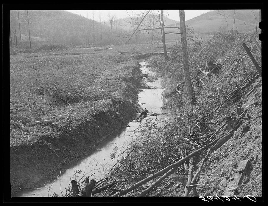
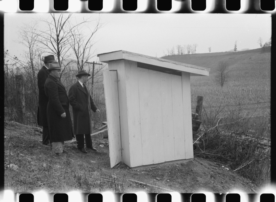
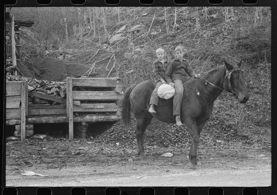
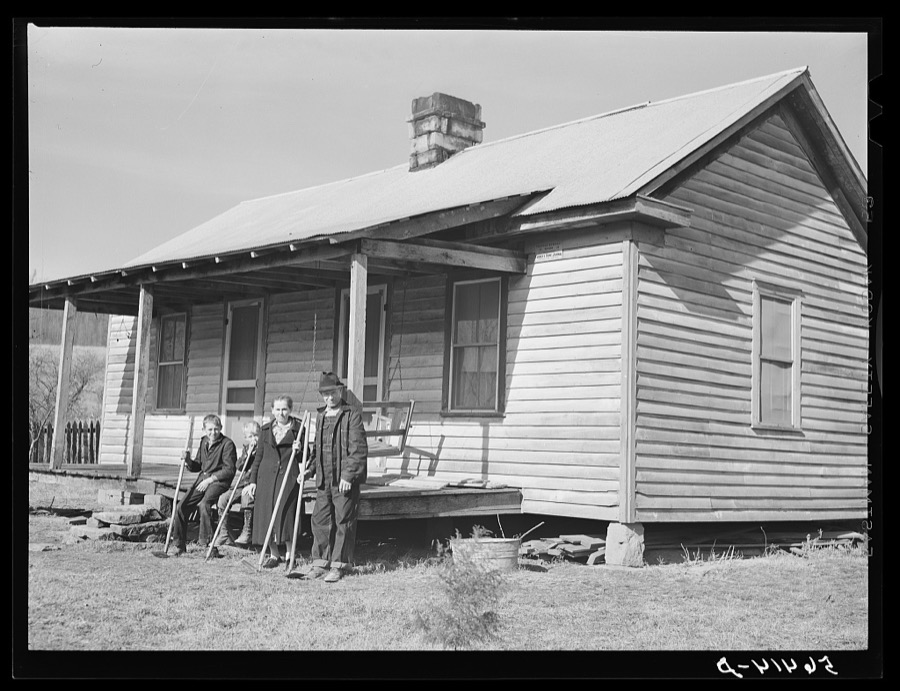
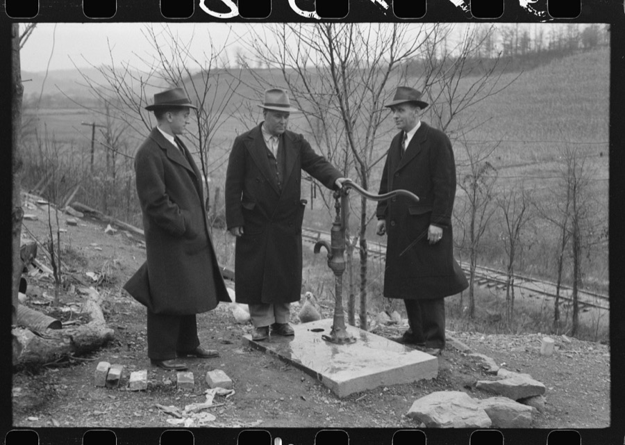
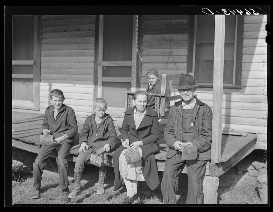
Taken for the Office of War Information and the Farm Security Administration, who photographed the country between 1935 and 1944. Works of United States government photographers, with no known restriction on use. Each opens its catalogue record.
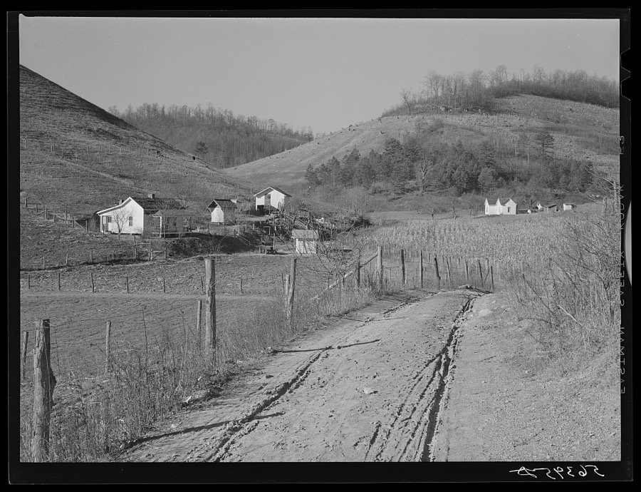
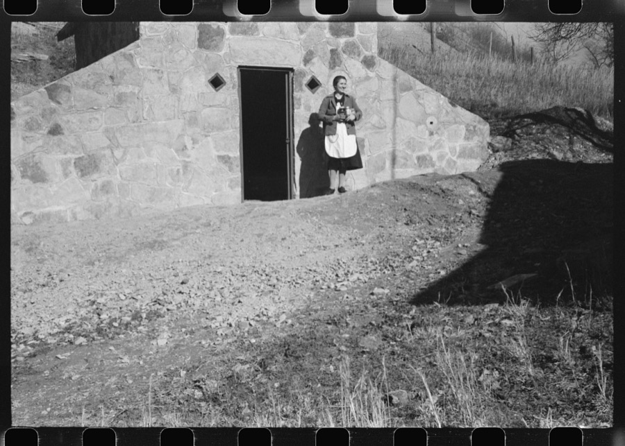



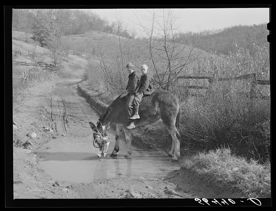

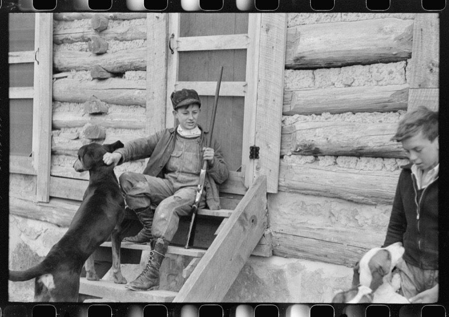

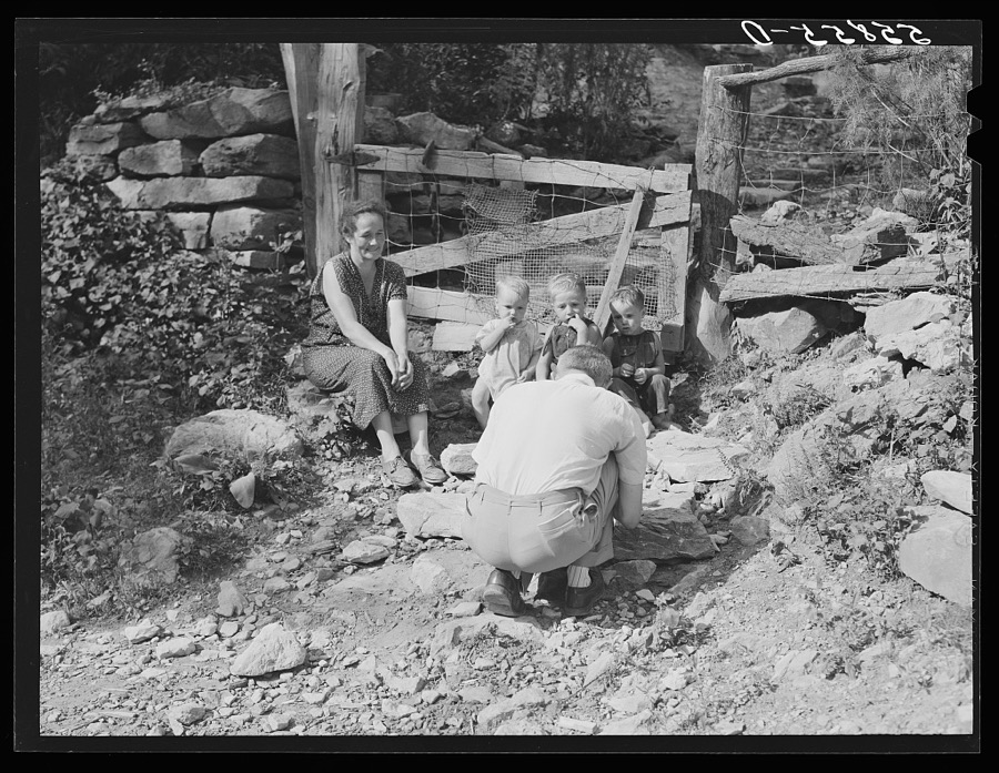
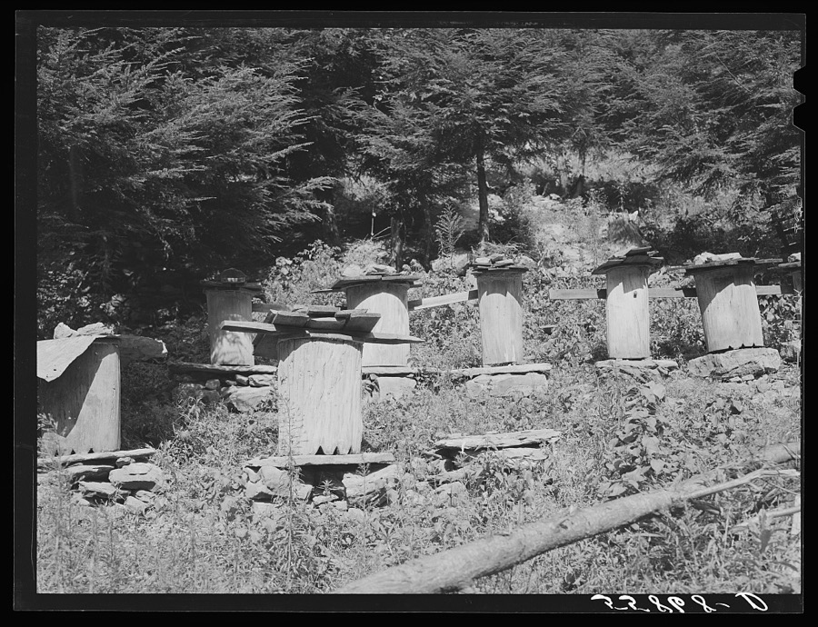

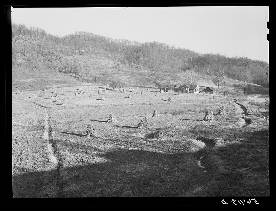

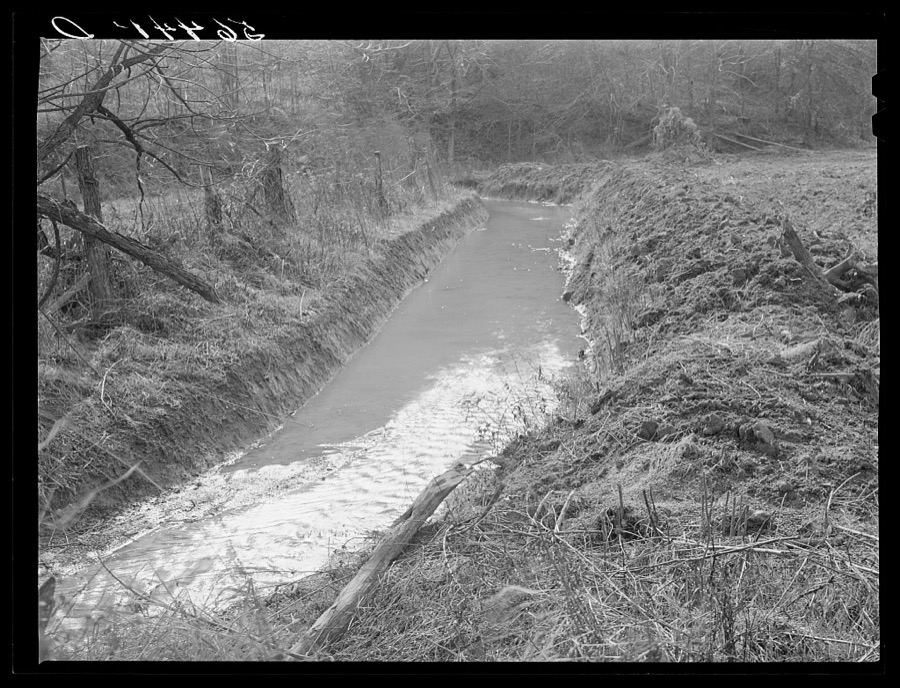

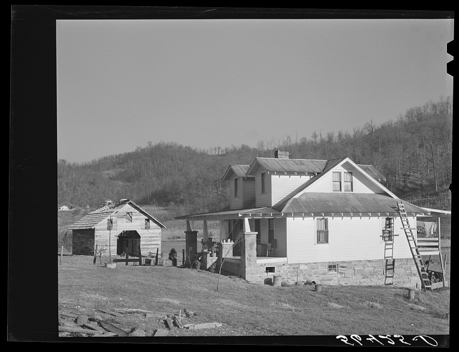
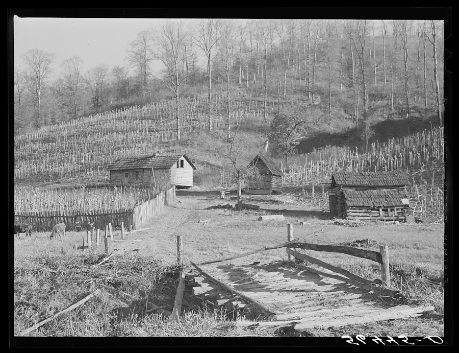


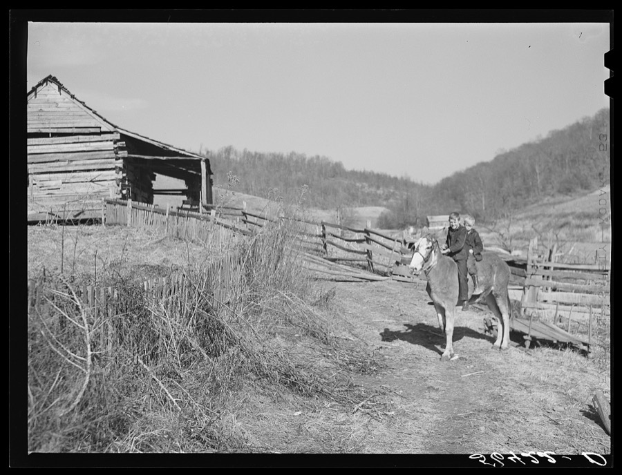
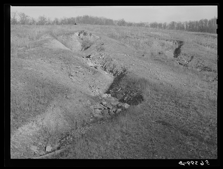
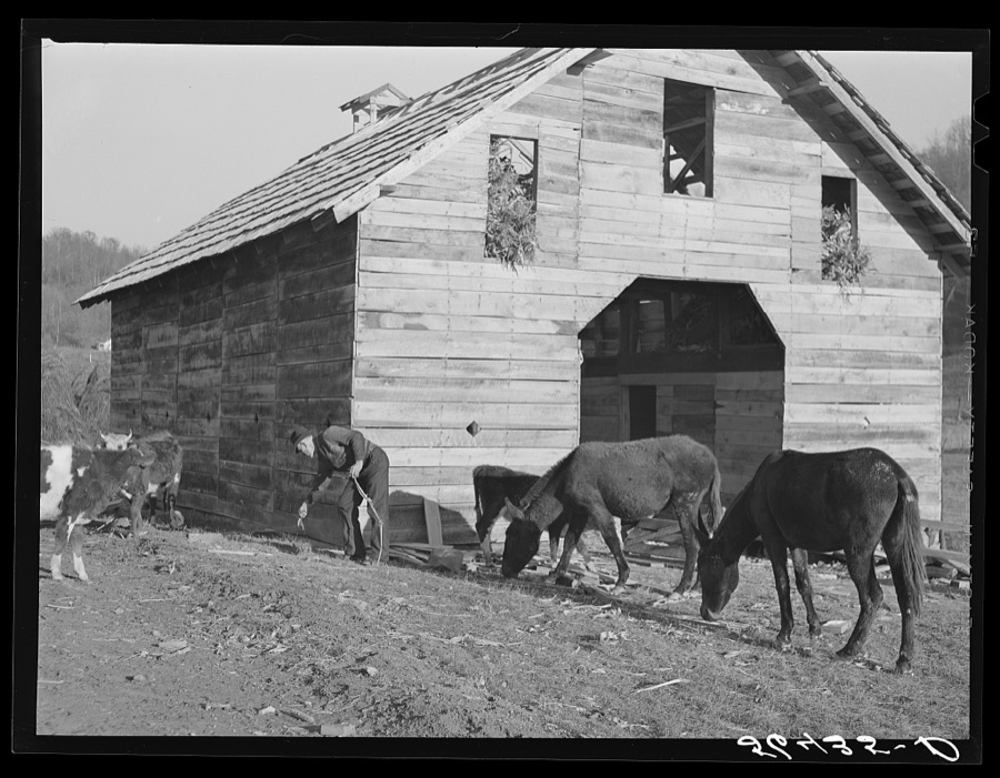
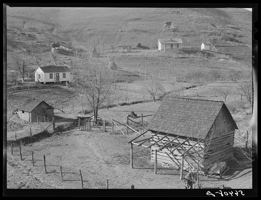
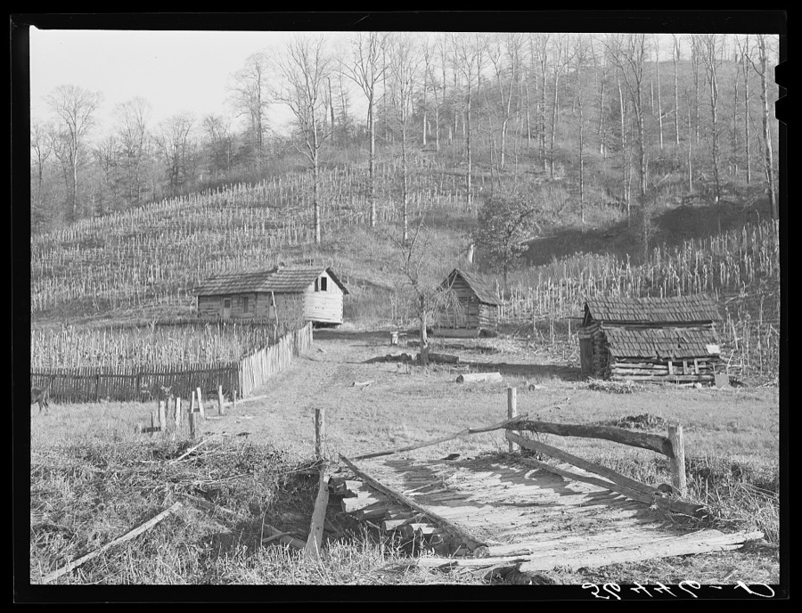

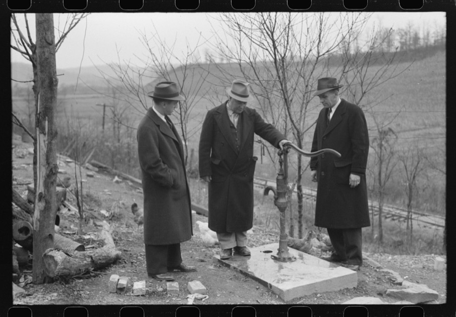
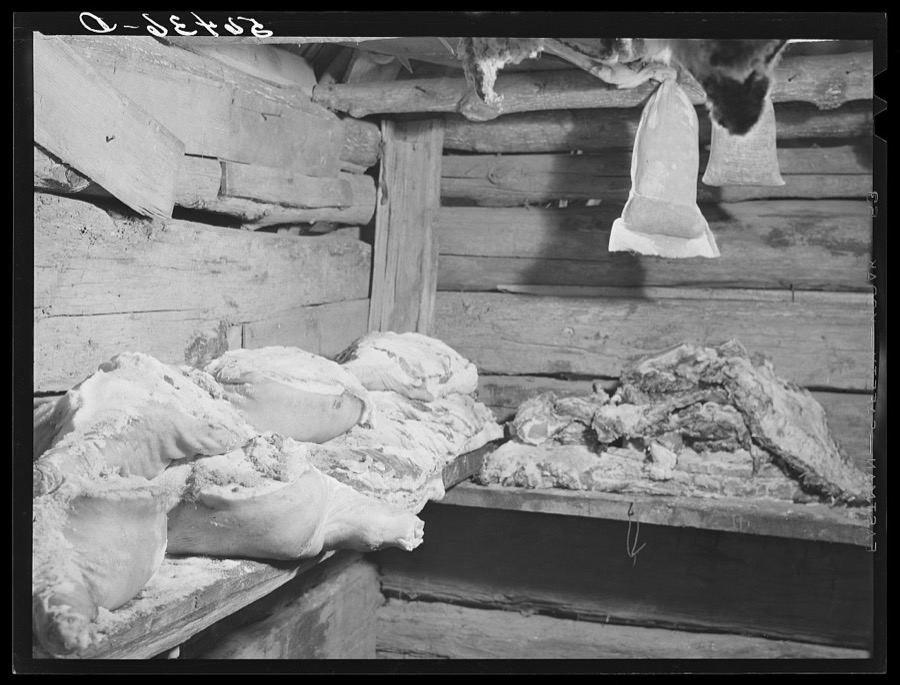
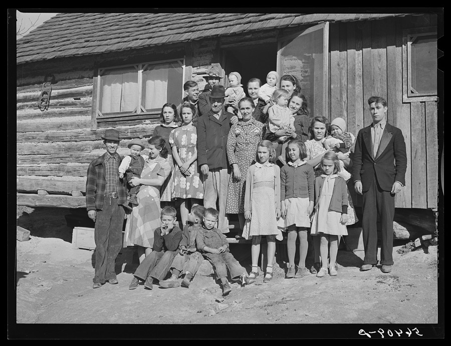


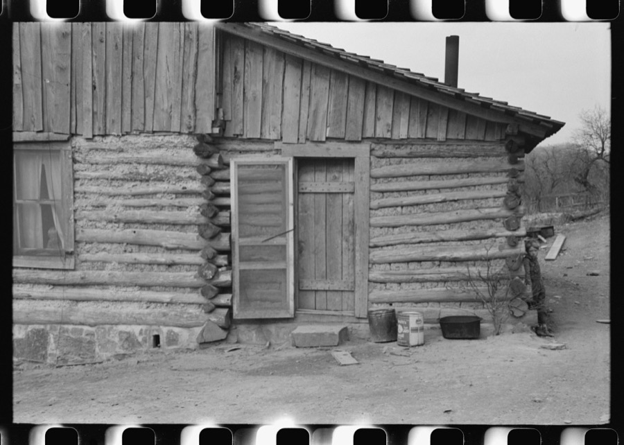
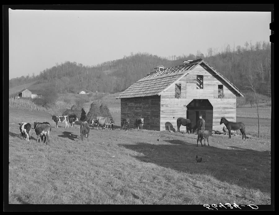
Every property in this county listed on the National Register of Historic Places, with the year it was listed and the federal nomination document.
| Photograph | Property | Type | Listed | Reference |
|---|---|---|---|---|
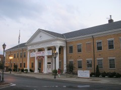 | Barbourville Commercial District | district | 1984 | 84003885 |
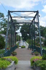 | East Main Street Bridge | structure | 1986 | 86000605 |
 | Mitchell Building-First State Bank Building | building | 1984 | 84002751 |
 | Old Classroom Building, Union College | building | 1975 | 75000788 |
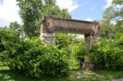 | Saint Camillus Academy | building | 1986 | 86000607 |
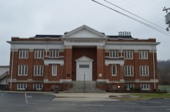 | Soldiers and Sailors Memorial Gymnasium | building | 1984 | 84001794 |
 | Speed Hall | building | 1982 | 82002731 |
Sampled issues, machine-read from the Library of Congress scan and published page by page, so every headline and column is searchable text.
Barbourville, Ky., 1904 to 1935. Machine-read from the Library of Congress scan.
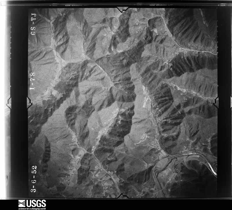
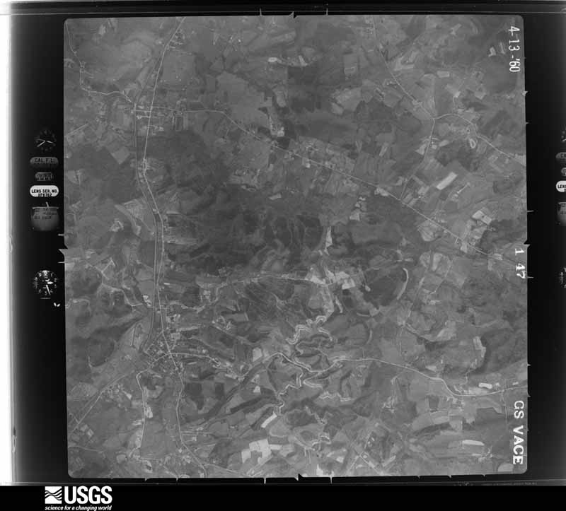
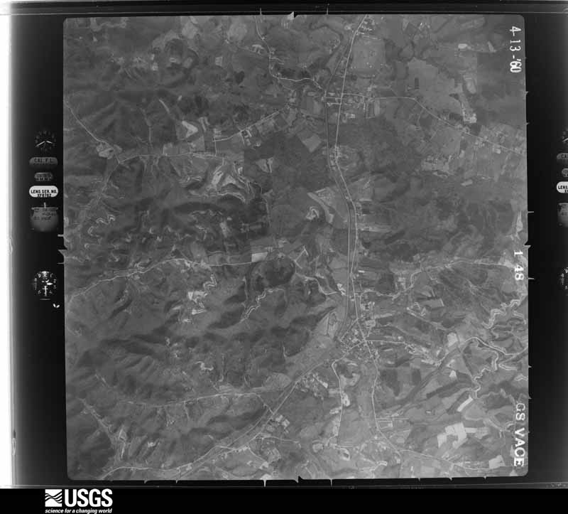
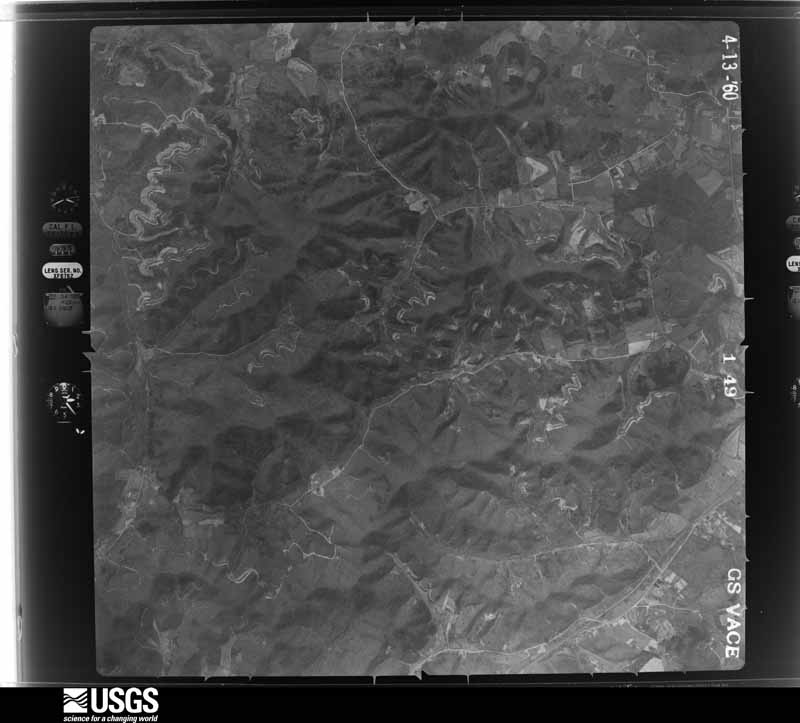
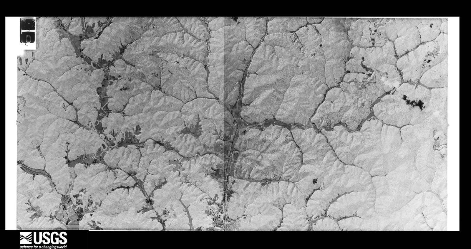
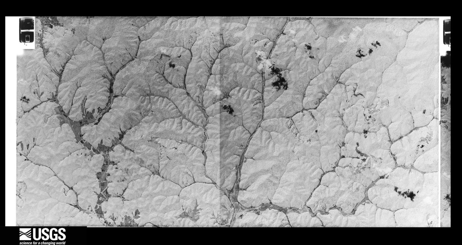
Flown by the U.S. Geological Survey between 1937 and 1989, the Aerial Photo Single Frames collection is the definitive mid-century view of the land: fields, roads and rivers as the camera saw them. The Survey holds 791 frames inside the rectangle that bounds this county; the 32 frames below were taken over the county itself, chosen across the decades of flights (at most four a year from that rectangle), so one flight cannot crowd out the rest. The full set is free to browse and download at EarthExplorer under the dataset Aerial Photo Single Frames.


























The thermometers that kept this county's weather, and the gages that measured the flow of its streams, as the federal records hold them. The extremes below are measured values from those records, not estimates.
Who lived here in 1950, one enumeration district at a time, as the Census Bureau described each district. Each row opens its official National Archives result, with Population Schedules and ED Maps available there.
Every wildfire the federal occurrence database records inside this county: 1,198 of them, burning about 44,439 acres. 6 started naturally and 292 were recorded as arson. Each settlement page carries the fires within five miles of it.
| Reported cause | Fires |
|---|---|
| Debris and open burning | 582 |
| Arson/incendiarism | 292 |
| Missing data/not specified/undetermined | 214 |
| Recreation and ceremony | 91 |
| Natural | 6 |
| Equipment and vehicle use | 4 |
| Misuse of fire by a minor | 4 |
| Railroad operations and maintenance | 3 |
| Smoking | 2 |
The five largest, by the area the report gives. Five of them were set deliberately.
| Date | Cause | Size | Reported by | Name on the report |
|---|---|---|---|---|
| 29 October 2001 | Arson/incendiarism | 2,000 acres | Kentucky Division of Forestry | not named |
| 31 October 2001 | Debris and open burning | 900 acres | Kentucky Division of Forestry | not named |
| 1 November 2001 | Arson/incendiarism | 825 acres | Kentucky Division of Forestry | not named |
| 29 October 2016 | Debris and open burning | 794 acres | Kentucky Division of Forestry | KNOX/BELL LINE |
| 13 November 1999 | Arson/incendiarism | 750 acres | Kentucky Division of Forestry | not named |
| 17 November 1999 | Arson/incendiarism | 700 acres | Kentucky Division of Forestry | not named |
| 13 November 1999 | Arson/incendiarism | 600 acres | Kentucky Division of Forestry | not named |
| 10 November 2016 | Debris and open burning | 600 acres | Kentucky Division of Forestry | BULL CK 2 |
Every settlement page carries the fires within five miles of it - see the settlement index below.
The NOAA Storm Events Database holds 291 reports for this county, causing 1 death, 6 injuries and about $7,492,950 in recorded property damage. Each settlement page carries the reports that name it.
| Kind of event | Reports |
|---|---|
| Thunderstorm Wind | 153 |
| Flash Flood | 53 |
| Hail | 50 |
| Flood | 22 |
| Heavy Rain | 8 |
| Tornado | 3 |
| Lightning | 1 |
| Funnel Cloud | 1 |
The most serious of them, by death, then injury, then recorded damage. The accounts are quoted exactly as the forecast office filed them.
| When | Event | Place named | Harm | What the report says |
|---|---|---|---|---|
| June 2011 | Flash Flood | Anchor | 1 killed, $25,000 | A Kayjay man was killed when flood waters swept the trailer he and his mother lived in away and smashed it against a bridge downstream. The man's mother survived and was rescued some time later. |
| March 2012 | Heavy Rain | Barbourville | 6 hurt, $20,000 | The roof of the Tru-Seal factory in Barbourville due to the weight of rain water that had accumulated on the roof. Six injuries were reported. |
| June 2011 | Flash Flood | Anchor | $3,000,000 | Twenty seven homes were destroyed during the June 20th flash flood in Kayjay. |
| February 2020 | Flood | Heidrick | $2,500,000 | Dispatch reported several roads inundated by flood waters and mudslides across the county. These include Kentucky Highway 229 near Heidrick, Kentucky Highway 11 near Barbourville, and Asher Branch Road off of Kentucky Highway 229. Hundreds of individuals experienced a lack of clean water due to mudslides affecting the water supply across the county. Additionally, Emergency Management reported 37 homes impacted by flood waters, particularly along the Cumberland River. |
| April 2013 | Flash Flood | Mills | $760,000 | Swift water rescue of three teens due to flash flooding of Stinking Creek on Highway 223. Several mobile homes and vehicles were flooded as well along Stinking Creek. |
| May 2024 | Tornado (EF1) | Siler | $200,000 | The National Weather Service surveyed damage in the Siler |community, on the eastern edge of Corbin. They confirmed, with the|help of video, that a quick spin-up tornado occurred, starting in|the NW corner of the Legacy Chevrolet dealership's parking lot, |affecting a gas station and car wash, then moving ENE across |US-25E, into a manufactured shed retail lot. It then crossed into |a tree line and adjacent field, possibly lifting momentarily, |before resuming damage near Poplar Grove Road. It then traveled |between Lynn Camp High School and Lynn Camp Elementary School, |before dissipating. Notable damage included damage to to vehicles |in the Legacy Chevrolet parking lot. Multiple cars and trucks |were pushed forward or to the side. The line of trucks near the |front of the lot were pushed up over the curb and halfway into the |grass. Debris was located along the seal of the driver-side |window of multiple trucks, and quite a few vehicles lost their|back windshields either partially or completely. The gas cap |covers were pulled off of the trucks, with some found at the end of the|tornado path about 0.75 miles away. The neighboring car wash lost|the majority of its windows and incurred damage to all sides of |the building, causing it to be structurally unsound. Across the |street, sheds and barns were moved around and flipped, including a|metal carport being thrown into the tree line to the ENE. No damage|was noted along the neighboring field, however minor roof damage |and a fallen tree occurred just to the ENE, at which point the |path of damage picked back up with multiple trees down along |Poplar Grove Road. At the end of the tornado track, a south-facing|house addition had its roof and ceiling lifted off, landing in |it's entirety to the north near the Lynn Camp Elementary School, |while additional debris was thrown into the east facing lawn of |the school. ||The track of this storm started at Cumberland Falls State Park, |moving east-northeast, resulting in a path of straight-line wind |damage across northern Whitley County with numerous trees felled.|NWS Jackson, KY radar showed a tightening of circulation occurring|across the Corbin area, near where the tornado occurred. Further |wind damage was noted farther ENE of the tornado path in a wooded |area along Middlefork Richland Road and surrounding areas. These |were all indicative of straight-line winds as well. |
| July 2008 | Thunderstorm Wind | Barbourville | $100,000 | Part of the roof was blown off a barn along Highway 459. Extensive tree and power line damage occurred county wide, with the hardest area being the south side of Barbourville. |
| April 2007 | Thunderstorm Wind | Barbourville | $100,000 | Numerous trees down countywide. Road signs blown down. Roof blown off a trailer. Eight children in a shelter due to their home being uninhabitable. Unconfirmed report of 2 people trapped in their basement due to wind damage. |
| June 2011 | Flash Flood | Warren | $75,000 | Dispatch reported that several feet of water was flowing over KY 255 and that the road had been closed as a result of the flooding. The flood water had also moved homes off of their foundations around Barbourville. |
| February 2020 | Flood | Jarvis | $50,000 | Local law enforcement reported numerous roads, nearly a dozen at one point, closed across the county due to flood waters. This includes near Baughman and just east of Garrich, including Kentucky Highway 1527. |
| June 2011 | Flash Flood | Hubbs | $50,000 | Two other residents of Kayjay were trapped in their home for a period of time as it floated along KY 225 during the height of the June 20th flash flood. The house sustained heavy damage along with many of the owners belongings. |
| May 2004 | Tornado (F1) | Hammond | $50,000 | A tornado, 210 feet wide, briefly touched down just south of Hammond. It lifted, and touched down again near Hammond. Numerous trees were down and two trailers, two homes, and on garage were damaged. |
| March 2002 | Flash Flood | Barbourville | $50,000 | Heavy rains during the afternoon and evening of March 17, resulted in repeated episodes of flash flooding. Numerous roads were flooded, a bridge was washed out, and a trailer was washed away. |
| April 1998 | Flash Flood | Countywide | $50,000 | no account filed |
| April 1998 | Flash Flood | Countywide | $50,000 | no account filed |
| July 2008 | Thunderstorm Wind | Barbourville | $35,000 | Numerous trees were blown down across the western and northern portions of the county. The worst of the damage occurred near the Laurel county line. |
| January 2008 | Thunderstorm Wind | Barbourville | $30,000 | Trees and power poles were blown down throughout the county by winds estimated at 67 mph. |
| May 2004 | Tornado (F1) | Erose | $30,000 | A tornado touched down near Erose along Highway 718. The tornado was on the ground for 1, 338 feet. Numerous trees were blown down and three homes were damaged. |
| June 2011 | Flood | Anchor | $25,000 | Brush Creek remained out of it's banks flooding KY 225 and other roadways in the area through most of the day. |
| April 2011 | Thunderstorm Wind | Barbourville | $25,000 | Numerous trees and large limbs were downed by thunderstorm wind gusts in Barbourville. Two large trees were felled near the intersection of North Main and School Streets. One of the trees fell onto a parked truck, causing substantial damage to the vehicle. |
| June 2009 | Thunderstorm Wind | Gray | $25,000 | Trees and power lines down. |
| May 2025 | Thunderstorm Wind | Boone Hgts | $12,000 | Local HAM radio operators passed along pictures of snapped telephone poles near the 1900 block of KY-225. |
| September 2024 | Thunderstorm Wind | Gray | $11,600 | A picture on social media showed a snapped power pole along Sam Parker Road. |
| May 2025 | Hail | Trosper | $10,000 | A social media report showed pictures of at least egg-sized hail in the community of Trosper around 4pm. The hail reportedly broke windshields in the area. |
| February 2011 | Thunderstorm Wind | Siler | $10,000 | Trees were blown down and the roof of a barn was blown off on Buffalo Branch Road near Siler in Knox county. An RV was also blown over at this location. |
| June 2011 | Flash Flood | Kayjay | $10,000 | Residents of a home on Jones Town Road south of Kayjay awoke around 5 am EDT on June 20th to find over 2 feet of flood water in their home. The front door could not be opened due to the pressure of the water against it, so the two people, along with their dog, were forced to escape through a window. |
| July 2008 | Thunderstorm Wind | Providence | $10,000 | Multiple trees were blown down 1 mile north of Dr Thomas Walker SHS along Highway 459. |
| July 2008 | Thunderstorm Wind | Cannon | $10,000 | Trees were blown down onto power lines and a power line was down on a house. |
| June 2007 | Thunderstorm Wind | Erose | $10,000 | Large tree limbs down on Highway 718 and several trees down on Highway 718 near Salt Gum. |
| May 2004 | Thunderstorm Wind | Barbourville | $10,000 | Windows were blown out of numerous homes. Trees were down countywide, including along College Street, College Park Drive, and Davis Bend Road. |
| November 1996 | Flash Flood | Artemus | $10,000 | no account filed |
| September 2024 | Thunderstorm Wind | Wilton | $7,700 | A picture on social media showed a power pole snapped beside a home near the intersection of Hollen Dale Drive and KY-6. |
| August 2009 | Thunderstorm Wind | Siler | $7,000 | Several trees were blown down east of Corbin. |
| July 2019 | Flash Flood | Warren | $6,000 | Dispatch reported flash flooding from Kayjay Camp Road in Kayjay to Jonestown Road near Wheeler. Both roads were impassable as water entered residences. |
| April 2011 | Thunderstorm Wind | Gray | $5,000 | Part of the roof of a barn were ripped from the structure and strewn across a nearby field. |
| February 2011 | Thunderstorm Wind | Camp Grounds | $5,000 | A daycare center operator near Siler reported that trees were blown down on Rocky Branch Road off Ohler Road. The day care center building was lifted off its foundation, resulting in damage to the building. One witness reported that they saw water lifted from a nearby pond. Other witnesses reported hearing a loud roar as the storm approached. |
| June 2011 | Thunderstorm Wind | Rain | $5,000 | Trees were blown down on Hwy 1809. |
| August 2006 | Thunderstorm Wind | Barbourville | $5,000 | Numerous trees down. Signs down in town. Power lines down. |
| May 2004 | Thunderstorm Wind | Heidrick | $5,000 | Trees and power lines were down. |
| May 2003 | Thunderstorm Wind | Barbourville | $5,000 | Numerous trees and power lines were down in Barbourville. Numerous trees were also down countywide. |
| June 2006 | Thunderstorm Wind | Girdler | $4,000 | Several trees down around Girdler. Large limbs and several trees also down in Jarvis on Wilson Branch. Power outages reported in Jarvis and Girdler. |
| November 2000 | Thunderstorm Wind | Countywide | $4,000 | Severe thunderstorm winds brought trees down in several areas across the county. In Sharps Gap a tree fell on a home producing minor roof damage. A tree was also blown down onto a car at Lone Branch. |
| July 2019 | Flash Flood | Kayjay | $3,000 | A broadcast media outlet relayed reports of quickly flowing flood waters inundating Kentucky Highway 225 near Kayjay. Additionally, water entered residences in and around town. |
| May 2011 | Thunderstorm Wind | Barbourville | $3,000 | Thunderstorm wind gusts caused extensive damage on the property of a volunteer storm spotter. The damage included a tri-axle RV trailer being moved 2 to 3 feet with awning ripped apart, limbs roughly 2 inches in diameter being broken off of trees, and one tree blown down. |
| May 2011 | Thunderstorm Wind | Barbourville | $3,000 | High winds moved a triaxle RV trailer approximately 2 to 3 feet. The winds also ripped an awning apart. Limbs approximately 2 inches in diameter were broken off trees and a tree was knocked over. |
| August 2011 | Thunderstorm Wind | Moore Hill | $3,000 | A few trees were blown down along KY 6 southeast of Corbin. |
| September 2010 | Thunderstorm Wind | Trosper | $3,000 | A tree was blown down and onto a home in Trosper off of KY Hwy 225. |
| August 2010 | Thunderstorm Wind | Barbourville | $3,000 | A few trees were blown down north northwest of Barbourville. |
| April 2006 | Thunderstorm Wind | Barbourville | $3,000 | Tree down on trailer. |
| July 2006 | Thunderstorm Wind | Barbourville | $3,000 | Twelve to 15 trees down including on a house and power lines. |
| July 2001 | Thunderstorm Wind | Gray | $3,000 | Thunderstorm winds blew several trees and power lines down. |
| March 2020 | Thunderstorm Wind | Permon | $2,500 | A citizen reported a tree blown down along with damage to the roof of a shed near Permon and Clate southwest of Barbourville. |
| July 2023 | Thunderstorm Wind | Dewitt | $2,000 | Two trees were blown down along KY-223 near Escoes Market. One of these trees fell onto a powerline, causing a fire. |
| June 2022 | Thunderstorm Wind | Mills | $2,000 | Knox County dispatch reported that trees and had been blown down and onto power lines in the Alex Creek area. |
| June 2022 | Thunderstorm Wind | Flat Lick | $2,000 | Knox County dispatch reported that trees had been blown down and onto power lines in and near the community of Flat Lick. |
| June 2022 | Thunderstorm Wind | Siler | $2,000 | Knox County dispatch reported that trees had been blown down and onto power lines along Siler Hill Road. |
| May 2011 | Thunderstorm Wind | Fount | $2,000 | Two trees were reported down along KY Hwy 11 in the northern end of the county. |
| May 2011 | Thunderstorm Wind | Barbourville | $2,000 | Two trees were blown across a road 4 miles east of Barbourville. |
| August 2010 | Thunderstorm Wind | Baileys Switch | $2,000 | Dispatch reports that large limbs were blown down. |
| June 2009 | Thunderstorm Wind | Moore Hill | $2,000 | Two trees were down on Woodbine Avenue. |
The Survey's mineral resources record lists 2 workings inside this county. None of them still produces: all are closed or unrecorded. Each settlement page carries the workings within five miles of it.
| Commodity | Workings |
|---|---|
| Clay | 2 |
The least common of them first, because a county's hundredth gravel pit says nothing its first ten did not.
| Where | Site | Commodity | Status | Recorded |
|---|---|---|---|---|
| Barbourville Shale | Clay | Past Producer | ||
| Highway 25-E Roadcut | Clay | Prospect |
Named settlements recorded in the Geographic Names Information System, each with the topographic sheets covering it. Villages, hamlets and abandoned places alike. Each is shown with the nearest named watercourse or landform and the survey quadrangle it falls on. The 1 place that was also surveyed for fire insurance comes first, with the number of atlases and photographs held for them.
Barbourville census division · 40906 · On Richland Creek · Barbourville quadrangle
17 sheets, 1886 to 1977
Fire insurance: 4 atlases
Barbourville census division · 40906 · On Richland Creek · Barbourville quadrangle
17 sheets, 1886 to 1977
No longer a settlement
Barbourville census division · 40734 · Near Foley Hollow · Heidrick quadrangle
18 sheets, 1886 to 1977
Barbourville census division · 40903 · On Ramsey Branch · Artemus quadrangle
17 sheets, 1886 to 1977
Trosper census division · 40903 · On Owens Branch · Artemus quadrangle
17 sheets, 1886 to 1977
No longer a settlement
Barbourville census division · 40906 · On Turkey Creek · Artemus quadrangle
17 sheets, 1886 to 1977
Barbourville census division · 40915 · On Shy Mug Branch · Fount quadrangle
16 sheets, 1886 to 1977
Barbourville census division · 40906 · On Hanson Branch · Artemus quadrangle
17 sheets, 1886 to 1977
Trosper census division · 40903 · On Gregory Branch · Artemus quadrangle
17 sheets, 1886 to 1977
No longer a settlement
Corbin census division · 40701 · On Negro Creek · Corbin quadrangle
17 sheets, 1890 to 1981
Barbourville census division · 40923 · On Dancey Branch · Fount quadrangle
16 sheets, 1886 to 1977
Girdler census division · 40906 · On Hubbard Branch · Heidrick quadrangle
18 sheets, 1886 to 1977
Trosper census division · 40906 · On Hooker Branch · Artemus quadrangle
17 sheets, 1886 to 1977
No longer a settlement
Dewitt census division · 40935 · On Road Fork Creek · Scalf quadrangle
18 sheets, 1886 to 1979
Barbourville census division · 40734 · Near Lowe Hollow · Barbourville quadrangle
17 sheets, 1886 to 1977
Trosper census division · 40903 · On Owens Branch · Artemus quadrangle
17 sheets, 1886 to 1977
No longer a settlement
Barbourville census division · 40734 · On Stone Cove Branch · Heidrick quadrangle
18 sheets, 1886 to 1977
Dewitt census division · 40935 · Near Shep Hollow · Beverly quadrangle
18 sheets, 1886 to 1979
Barbourville census division · 40935 · Near Pogue Hollow · Artemus quadrangle
17 sheets, 1886 to 1977
Girdler census division · 40906 · On Sasser Branch · Blackwater quadrangle
13 sheets, 1891 to 1979
Girdler census division · 40943 · On Wyrick Branch · Fount quadrangle
16 sheets, 1886 to 1977
Barbourville census division · 40906 · On Little Richland Creek · Heidrick quadrangle
18 sheets, 1886 to 1977
Barbourville census division · 40906 · On Fortney Branch · Artemus quadrangle
17 sheets, 1886 to 1977
40939 · On Gregory Branch · Pineville quadrangle
18 sheets, 1886 to 1977
No longer a settlement
Corbin census division · 40701 · On Spider Creek · Corbin quadrangle
17 sheets, 1890 to 1981
Barbourville census division · 40935 · On Lewis Branch · Artemus quadrangle
17 sheets, 1886 to 1977
Barbourville census division · 40759 · On Flat Creek · Barbourville quadrangle
17 sheets, 1886 to 1977
Barbourville census division · 40935 · On Elys Branch · Artemus quadrangle
17 sheets, 1886 to 1977
No longer a settlement
Barbourville census division · 40906 · On Smokey Creek · Barbourville quadrangle
17 sheets, 1886 to 1977
Gray census division · 40734 · On Lynn Camp Branch · Heidrick quadrangle
18 sheets, 1886 to 1977
Barbourville census division · 40906 · On Swan Pond Creek · Barbourville quadrangle
17 sheets, 1886 to 1977
Barbourville census division · 40906 · On Swan Pond Creek · Barbourville quadrangle
17 sheets, 1886 to 1977
Girdler census division · 40906 · On Billies Branch · Blackwater quadrangle
13 sheets, 1891 to 1979
Trosper census division · 40903 · On Powers Branch · Artemus quadrangle
17 sheets, 1886 to 1977
Barbourville census division · 40935 · On Honeycut Branch · Artemus quadrangle
17 sheets, 1886 to 1977
No longer a settlement
Dewitt census division · 40997 · On Middle Fork Stinking Creek · Scalf quadrangle
18 sheets, 1886 to 1979
Trosper census division · 40906 · On Blue Hole Branch · Artemus quadrangle
17 sheets, 1886 to 1977
Trosper census division · 40906 · On Wolfe Pen Branch · Kayjay quadrangle
18 sheets, 1886 to 1977
Corbin census division · 40701 · On Stewarts Creek · Corbin quadrangle
17 sheets, 1890 to 1981
Girdler census division · 40906 · On Low Gap Branch · Hima quadrangle
13 sheets, 1891 to 1979
The vanished settlements of Knox County: the places named above that are no longer on the map.
17 topographic sheets and 4 fire insurance atlases, 1913 to 1943