 Block
Becknerville, Kentucky
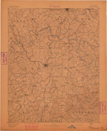
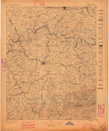
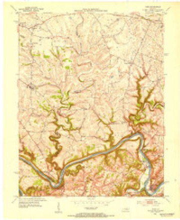
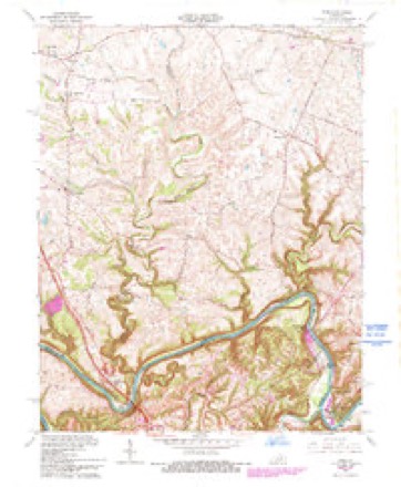
15 topographic sheets cover this place, the earliest surveyed in 1892 and the latest in 1991. It stands in the Ford-Boonesborough census division. It lies in ZIP code area 40391. The Survey maps it on the Ford quadrangle.
On record in Becknerville
Buildings and businesses the archive holds for this place. Each opens its own page, with the source record it came from.
On the National Register 6 records
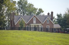 Capt. Robert V. Bush Houselisted 1979
- Tarleton Chiles Houselisted 1979
- Jesse Fishback Houselisted 1979
- Dailey-Milton Holliday Houselisted 1979
- Maj. Walter Preston Houselisted 1979
- William Taylor Houselisted 1979
Topographic sheets covering this place
8 surveys from 15 printed sheetsMatched by testing this settlement's coordinate against the published boundary of every sheet in the United States Geological Survey's historical collection. Each opens the scanned sheet at the Survey.
- 1892 USGS Richmond quadrangle1:125000
- 1897 USGS Richmond quadrangle1:125000, 5 printings
- 1952 USGS Ford quadrangle1:24000
- 1957 USGS Winchester quadrangle1:250000, 3 printings
- 1960 USGS Winchester quadrangle1:250000
- 1965 USGS Ford quadrangle1:24000, 2 printings
- 1986 USGS Harrodsburg quadrangle1:100000
- 1991 USGS Harrodsburg quadrangle1:100000


Fires near this place
1 since 2004Regional context, not property-specific evidence. The federal wildfire occurrence database lists 1 fire within 5 miles of Becknerville in 2004, burning about 5 acres in total. None started naturally. None was recorded as arson. Distance is straight-line from the map coordinates, so a fire counted here may appear on a neighbouring settlement's page as well.
| Reported cause | Fires |
|---|---|
| Missing data/not specified/undetermined | 1 |
The most recent of them, most recent first, with the day each was reported and the service that recorded it.
| Date | Cause | Size | Reported by | Name on the report |
|---|---|---|---|---|
| 25 March 2004 | Missing data/not specified/undetermined | 5.0 acres | Kentucky Division of Forestry | not named |
Settlements close enough to share some of these fires:
Mines and quarries near this place
2 within 5 milesRegional context, not property-specific evidence. The federal mineral resources record lists 2 workings within 5 miles of Becknerville: 1 past producer, 1 producer. 1 still produces. What was taken out: Fluorine-Fluorite, Zinc, Barium-Barite, Stone, Crushed/Broken. Distance is straight-line from the map coordinates, so a quarry counted here may appear on a neighbouring settlement's page as well.
| Where | Site | Commodity | Status | Recorded |
|---|---|---|---|---|
| Boonesboro Quarry | Stone, Crushed/Broken | Producer | ||
| Smitha Vein | Fluorine-Fluorite, Zinc, Barium-Barite | Past Producer | Barite, Fluorite, Sphalerite |
Storms near this place
2 since 1998Regional context, not property-specific evidence. The National Weather Service names Becknerville in 2 storm reports between 1998 and 2024: 1 thunderstorm wind, 1 tornado. No death or injury is recorded in these reports. Each account below is quoted exactly as the forecast office filed it, from the NOAA Storm Events Database, and each date opens the federal record of that event.
| When | Event | Place named | Harm | What the report says |
|---|---|---|---|---|
| April 2024 | Tornado (EF1) | Becknerville | - | Tornado damage appeared to have started to a barn and some trees across a field from each other west of Combs Ferry Road. The tornado continued southeast towards homes on a family's property. Trees were downed here with some outfieldings' roofs damaged.|Residents of one home said a set of 2nd story windows popped out and fell to the ground. Another nearby resident said all the interior doors of their home opened up as the tornado passed by. A security camera video showed a white intense area of rainfall|moving across the property in an area where a row of trees ended up getting snapped. The tornado continued east southeastward toward a home near the intersection of Jones Nursery Road and Combs Ferry Road. The resident was in a nearby attached garage when it went through. He witnessed the rains going in one direction before the tornado hit and then switch quickly to a different direction behind it. One section of the main home's roof was completely taken off and thrown east southeast. The wind hit the west-facing garage doors flush, causing both doors to buckle but not collapse. The brick work in between the doors was buckled as well. No further damage was noted southeast of this property, so the tornado appeared to have lifted by this point. There were several trees downed on the south side of the tornado, likely with strong inflow winds. Jones Nursery Road had trees down all along the road, but most of the damage had been cleaned up before the survey occurred. |
| June 1998 | Thunderstorm Wind | Becknerville | - | no account filed |
Nearest settlements
The eight closest, with where each one stands in the county. Distances are straight-line, computed from the Geographic Names Information System coordinates.
| Map | Place | Distance | Sheets |
|---|---|---|---|
| Tebbs | 2.2 miles | 15 | |
| Colby | 2.2 miles | 15 | |
| Hootentown | 2.9 miles | 15 | |
| Locust Grove | 3.0 miles | 15 | |
| Pine Grove | 3.1 miles | 11 | |
| Forest Grove | 3.3 miles | 17 | |
| Lisletown | 3.3 miles | 15 | |
| Providence (historical) | 3.4 miles | 17 |
Provenance
This settlement is recorded in the Geographic Names Information System as feature 507471. The sheet list is computed by point-in-boundary test against the United States Geological Survey's historical topographic inventory. Both are works of the United States government and carry no copyright under 17 U.S.C. 105.
Wildfire. Short, Karen C. 2022. Spatial wildfire occurrence data for the United States, 1992-2020 [FPA_FOD_20221014]. 6th Edition. Fort Collins, CO: Forest Service Research Data Archive. https://doi.org/10.2737/RDS-2013-0009.6 Collected with United States Government funding and usable without additional permissions or fees.
Mines and quarries. USGS Mineral Resources Data System (MRDS) https://mrdata.usgs.gov/mrds/ A work of the United States government, no copyright under 17 U.S.C. 105.
Storms. NOAA National Centers for Environmental Information, Storm Events Database https://www.ncei.noaa.gov/stormevents/ A work of the United States government, no copyright under 17 U.S.C. 105. Narratives are quoted verbatim from the National Weather Service report and are not edited or summarised.