 Block
Brentsville, Kentucky
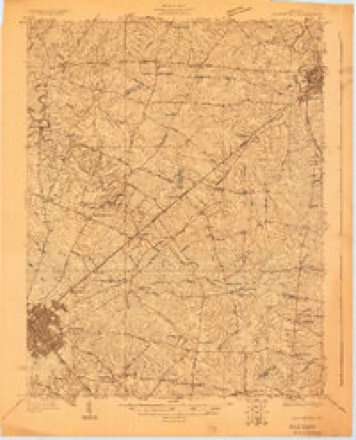
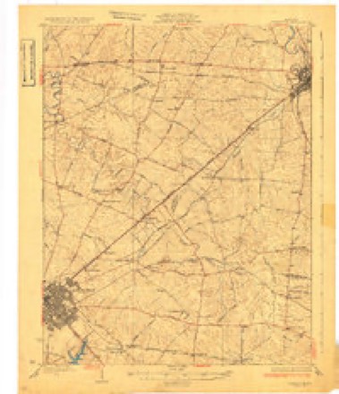
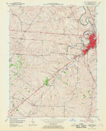
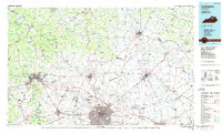
11 topographic sheets cover this place, the earliest surveyed in 1927 and the latest in 1986. It stands in the Paris census division. It lies in ZIP code area 40361. The Survey maps it on the Paris West quadrangle.
Topographic sheets covering this place
6 surveys from 11 printed sheetsMatched by testing this settlement's coordinate against the published boundary of every sheet in the United States Geological Survey's historical collection. Each opens the scanned sheet at the Survey.
- 1927 USGS Lexington quadrangle1:48000
- 1929 USGS Lexington quadrangle1:62500, 2 printings
- 1954 USGS Paris West quadrangle1:24000, 4 printings
- 1956 USGS Louisville quadrangle1:250000, 2 printings
- 1964 USGS Louisville quadrangle1:250000
- 1986 USGS Lexington quadrangle1:100000


Mines and quarries near this place
3 within 5 milesRegional context, not property-specific evidence. The federal mineral resources record lists 3 workings within 5 miles of Brentsville: 2 past producers, 1 producer. 1 still produces. What was taken out: Lead, Zinc, Barium-Barite, Barium-Barite, Zinc. Distance is straight-line from the map coordinates, so a quarry counted here may appear on a neighbouring settlement's page as well.
| Where | Site | Commodity | Status | Recorded |
|---|---|---|---|---|
| Hoggin Veins | Lead, Zinc, Barium-Barite | Past Producer | Barite, Galena, Sphalerite | |
| Marsh Vein | Barium-Barite, Zinc, Lead | Past Producer | Barite, Galena, Sphalerite | |
| Quincy Quarries, Inc. | Stone, Crushed/Broken | Producer |
Storms near this place
5 since 2007Regional context, not property-specific evidence. The National Weather Service names Brentsville in 5 storm reports between 2007 and 2021: 4 flood, 1 thunderstorm wind. The reports record 1 death. Each account below is quoted exactly as the forecast office filed it, from the NOAA Storm Events Database, and each date opens the federal record of that event.
| When | Event | Place named | Harm | What the report says |
|---|---|---|---|---|
| September 2018 | Flood | Brentsville | 1 killed, $15,000 | A female interning at Silver Springs Stud Farm was returning from lunch on Brentsville Road when she drove into water from a flooded stream over the roadway. The stream swept the vehicle into a deep pool off the road. Within moments, the top of the car was several feet below the surface of the water. The victim's body was recovered several hours later from the backseat of the vehicle. |
| April 2008 | Flood | Brentsville | $100,000 | Stoner Creek at Paris crested at 23.5 feet around 1005 PM EST on April 4. Flood stage at Paris is 18 feet. Moderate flooding occurs at this level, with water entering some homes below the water plant. Parts of the city park are flooded. The hardest hit areas were Sandy Bottoms, Houston Avenue, and the Garrard Park area, where water entered the lower levels of some homes. |
| June 2021 | Thunderstorm Wind | Brentsville | - | There was a tree down across Cynthiana Road. |
| March 2008 | Flood | Brentsville | - | Stoner Creek at Paris crested at 18.6 feet around 3 AM EST on March 20. Flood stage at Paris is 18 feet. Minor flooding occurs at this level, with the creek at bank full. |
| December 2007 | Flood | Brentsville | - | A few county roads were closed due to high water. |
Nearest settlements
The eight closest, with where each one stands in the county. Distances are straight-line, computed from the Geographic Names Information System coordinates.
| Map | Place | Distance | Sheets |
|---|---|---|---|
| Ewalt Crossroads | 2.5 miles | 8 | |
| Currentsville | 2.6 miles | 8 | |
| Paris | 2.7 miles | 11 | |
| Kiserton | 2.8 miles | 8 | |
| Shawhan | 4.5 miles | 8 | |
| Monterey | 4.6 miles | 11 | |
| Jacksonville | 4.7 miles | 8 | |
| Ruddels Mills | 5.3 miles | 6 |
Provenance
This settlement is recorded in the Geographic Names Information System as feature 487859. The sheet list is computed by point-in-boundary test against the United States Geological Survey's historical topographic inventory. Both are works of the United States government and carry no copyright under 17 U.S.C. 105.
Mines and quarries. USGS Mineral Resources Data System (MRDS) https://mrdata.usgs.gov/mrds/ A work of the United States government, no copyright under 17 U.S.C. 105.
Storms. NOAA National Centers for Environmental Information, Storm Events Database https://www.ncei.noaa.gov/stormevents/ A work of the United States government, no copyright under 17 U.S.C. 105. Narratives are quoted verbatim from the National Weather Service report and are not edited or summarised.